6 April 2024
Nuclear winter
Hiking Palgongsan over Dongbong to Gatbawi
This was my third time climbing Palgongsan. Obviously I like it.
I received feedback that I share too many pictures, so I decided to completely ignore that and go overboard, therefore I will type less here and go straight to the pics, after the stats....
6 hours and 8 minutes - faster than last time!
14.51km, less than last time, so that accounts for the time difference.
32,000 steps, again less that last time.
1926 calories burned.
1358m vertical ascent.
I think last time I must have started the GPS at the convenience store rather than the hiking trail, that might account for most of the difference.
Now for a lot of photos.
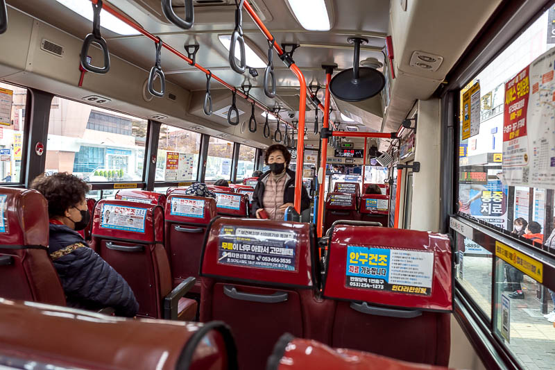
I took bus #1 from DongDaegu station. The usually excellent Naver app lied to me, the bus does run early but the app does not show it. I suspect the app showed the first bus to arrive at the national park at 9am, which would coincide with the cable car commencing operation. This was a bit annoying as I hung around waiting for it to be late enough for the bus, even though I could have gone an hour or more earlier.
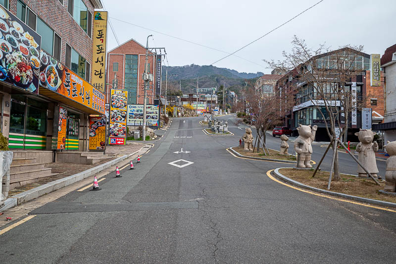
After about an hour I arrived at the last bus stop, Donghwasa temple. There is a small town here and 2 convenience stores to stock up on supplies.
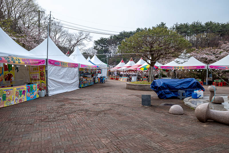
Near the start of the trail, a small fair has sprung up. I was a bit early for it. I thought there would be a lot more people around, both on the bus and on the trail.
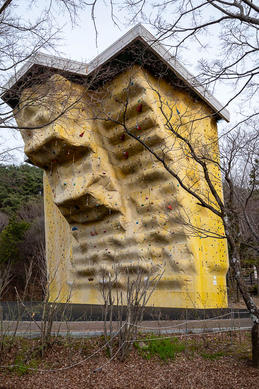
The rock climbing wall signals the start of the trail proper.
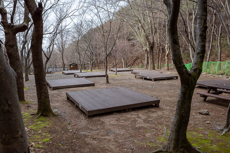
You start by going past some camp sites. Korean camp sites are a flat wooden deck, you pitch your tent on the deck. There were tents here last year but surprisingly, none this year. Note even one.
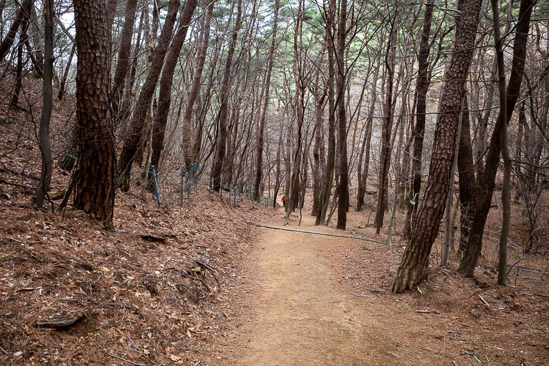
The lower bits of the trail are very well developed.
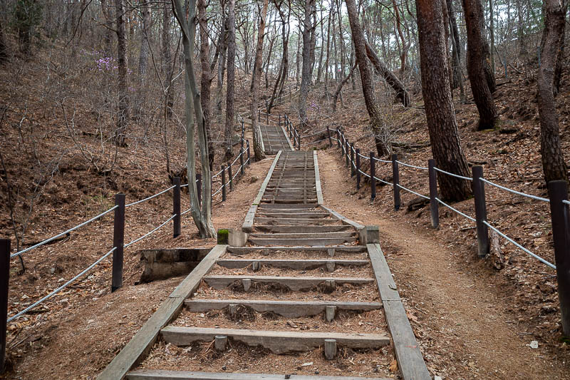
Many high quality stair cases. There is a cable car as you shall see, but obviously, I did not and will not take it!
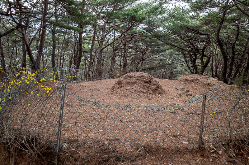
This guy should have taken the cable car.
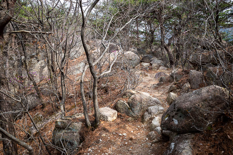
Before too long, rocks. Lots of rocks.
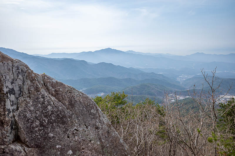
The first view of the day. The sky got less interesting as the day went on. Strangely as soon as I got on the bus back down, it was blue sky again, so perhaps it was only cloudy in the mountains.
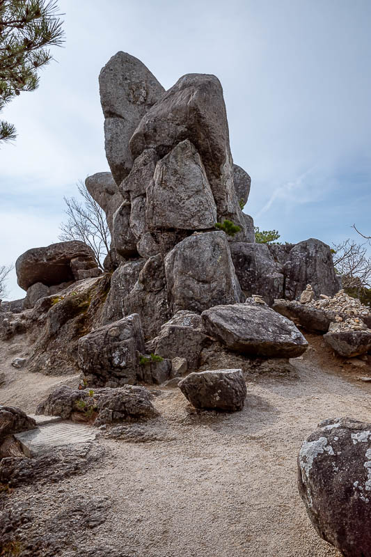
Today will feature a lot of piles of huge rocks. I culled a large number of photos.
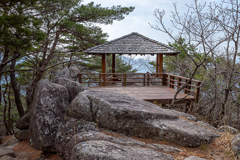
Quite near the cable car top station here, so there are a few little picnic spots around.
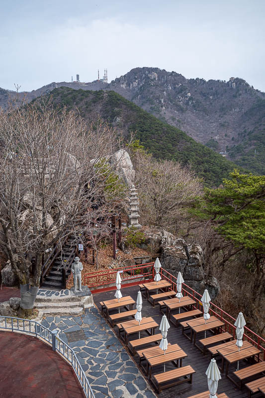
Behold, the view from the top cable car station.
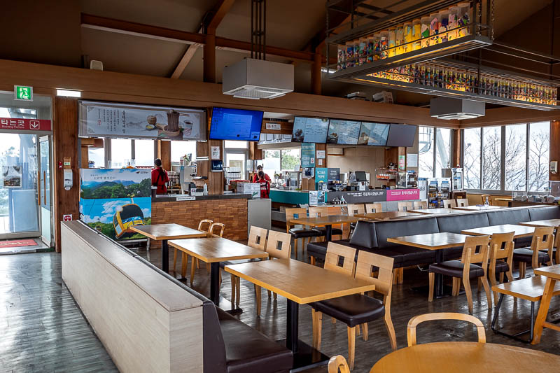
There is even a food court. They are not open yet. I think I ate something here the first time I came many years ago. I will have to go back and check. OK I checked.
First visit was 10 March 2015. It was earlier in the year so there was still a bit of snow. I had a coffee in the food court. I did not continue on to Gatbawi, I went down a different way entirely.
2nd visit was 30 May 2022, when I did basically the same course as today.
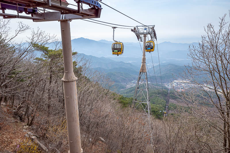
Here is the cable car. I threw stones at it.
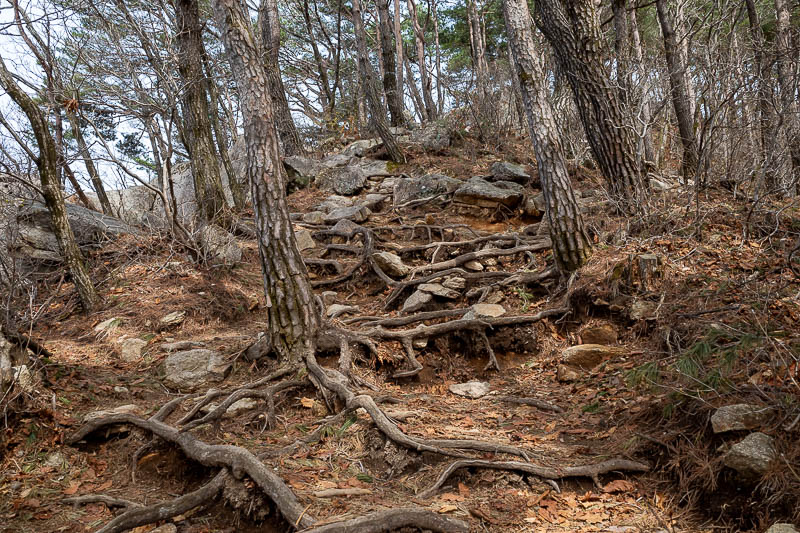
I did not really stop at all today, but also did not trip over, despite the many rocks and tree roots.
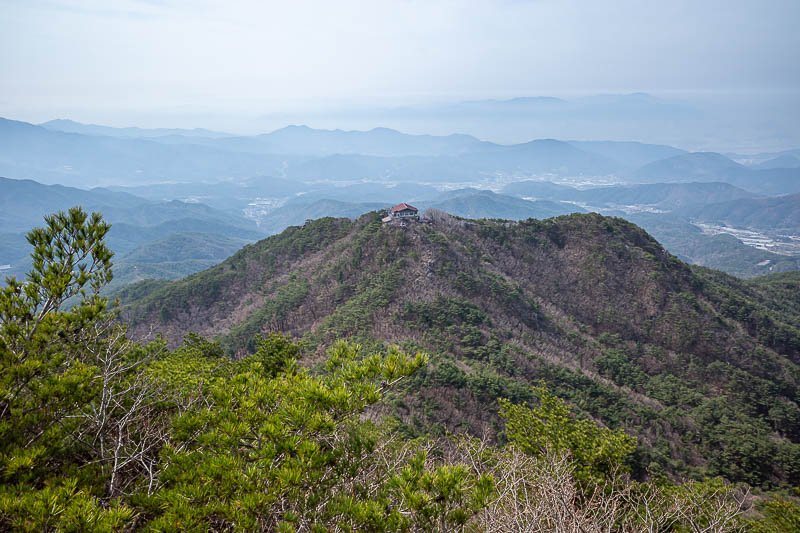
Looking down on the top cable car station. As you can see I have already gone quite a bit beyond the reach of the cable car. The slopes up to the peak at Dongbong behind me are the steepest of the day.
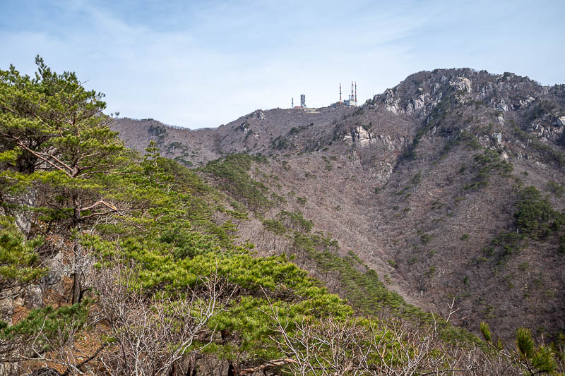
The journey ahead would lead to all those antennas, where the highest point of the day has almost no view.
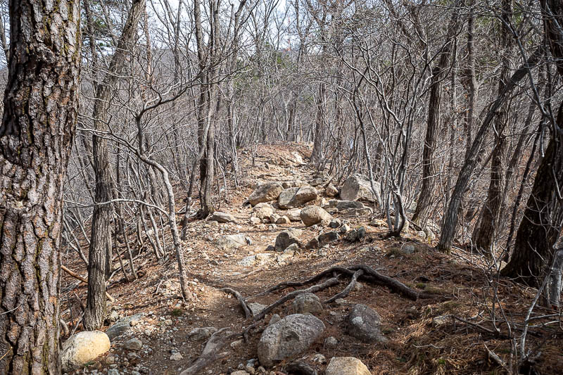
The scenes of destruction that looked like a nuclear winter commenced.
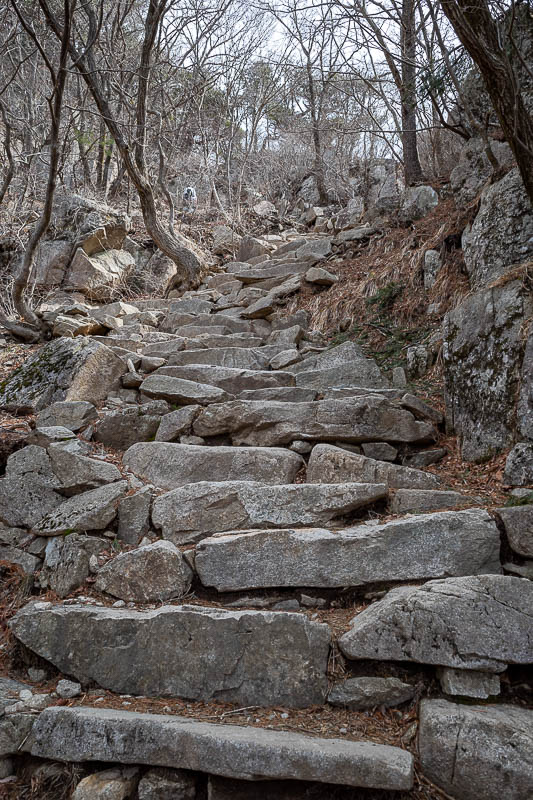
Big steps up to the top.
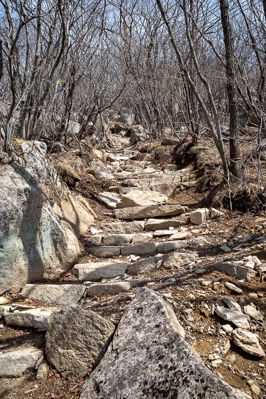
A lot of big steps.
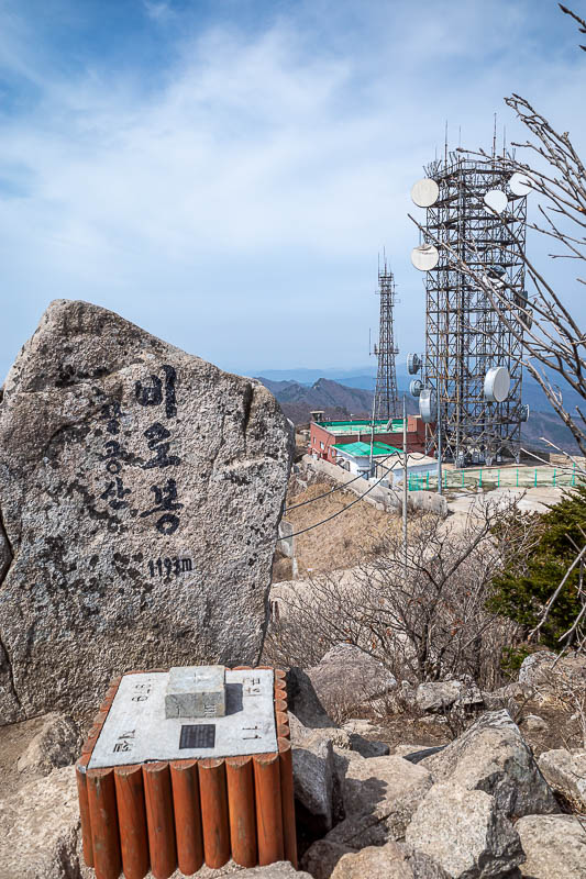
Here is the only view from the peak. There are fences on all 3 other sides as it is a military area.
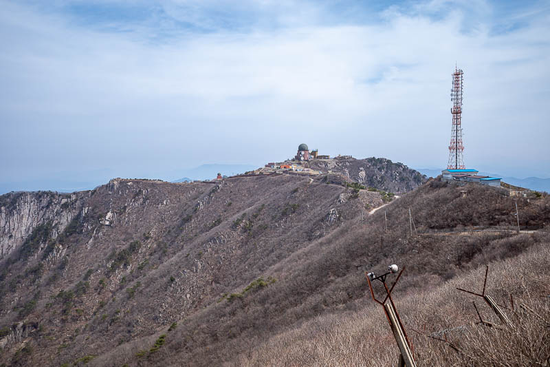
More military area. There is a road to here up the back of the mountain.
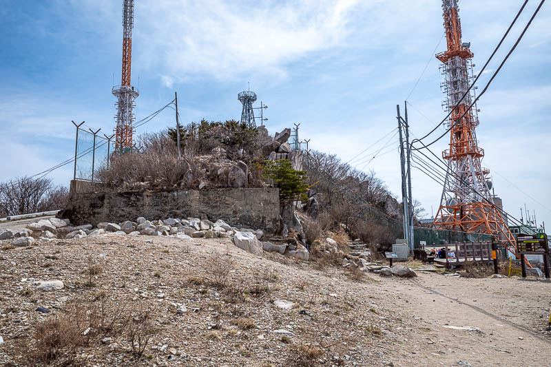
It is a really uninspiring summit area.
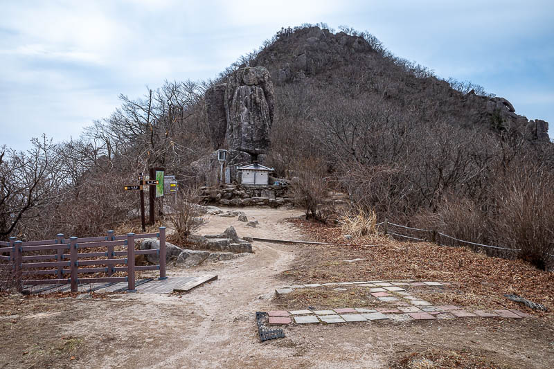
I continued on over to the next peak, not bothering to even stop for a drink break at the main peak.
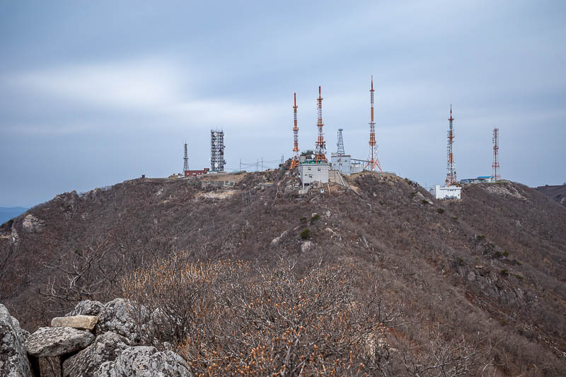
Here you can see a lot of the infrastructure from the previous photos, you will see it again from an ever increasing distance throughout the day. That is something to get excited about.
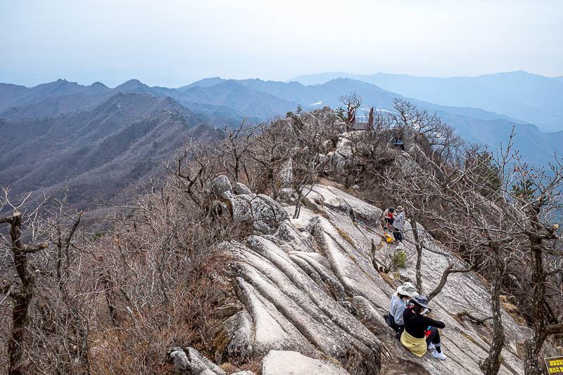
This is probably the nicest spot on the trail, and for nearly everyone, it is where they turn and head back down. But I will continue on!
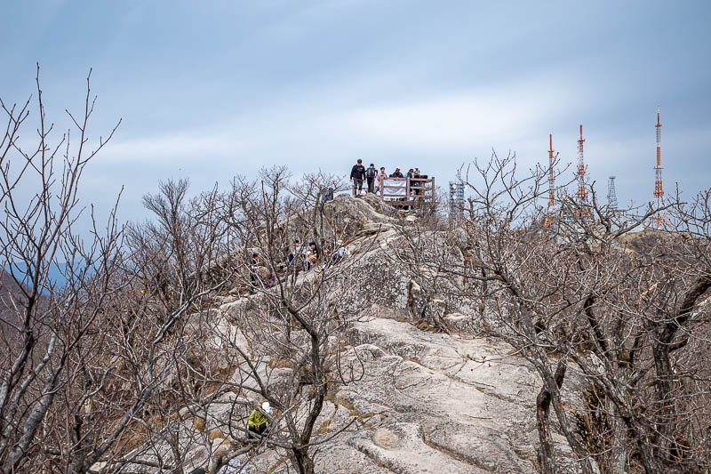
Beyond this point I passed another hiker probably once every 30 minutes on average, which for a Saturday, is not very often.
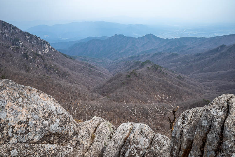
Over the back of the mountain, a lot more dead foliage.
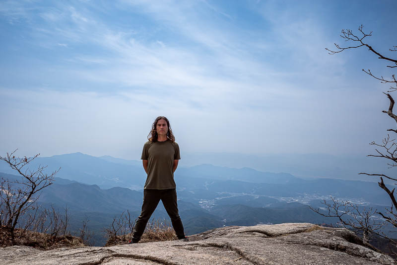
THE STANCE. A pretty good example too.
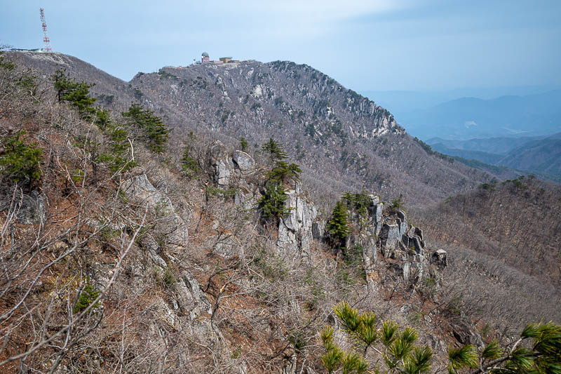
I had already clamoured over all of these getting away from antenna land.
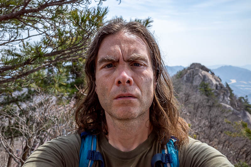
My selfie is pretty good today too, I really captured the lingering loathe.
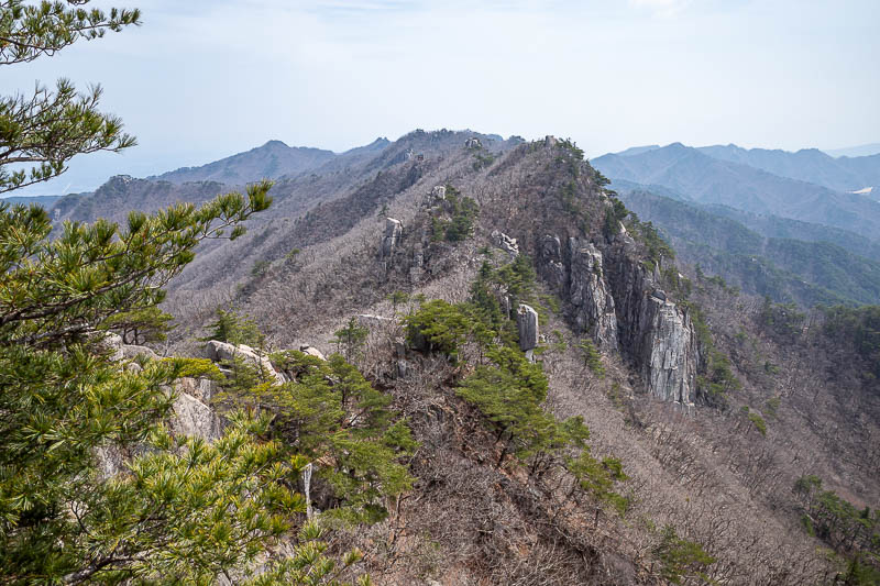
The path ahead, more rocks.
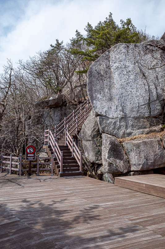
Every now and then in seemingly random locations, a deck or similar appeared. I had it to myself. A good urination platform (off the edge not on the actual deck, I am not an animal!).
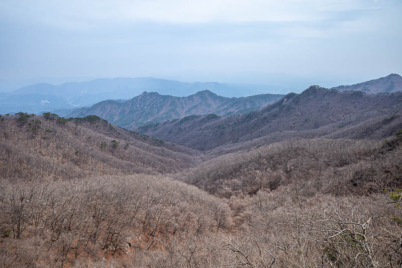
Still more seas of dead trees.
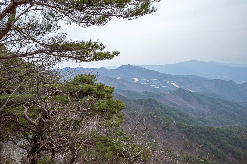
But then... a very brown golf course appears.
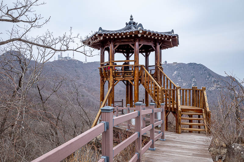
The next bit of infrastructure to stop and have a muesli bar. There is someone in it so I sat under it. Prime directive when hiking, avoid interaction with others at all costs.
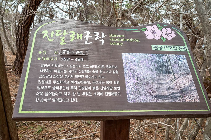
All these dead looking trees are actually Rhododendrons. And are the purple flowers I keep going on about. Up here in the mountains the flowers have not blossomed yet.
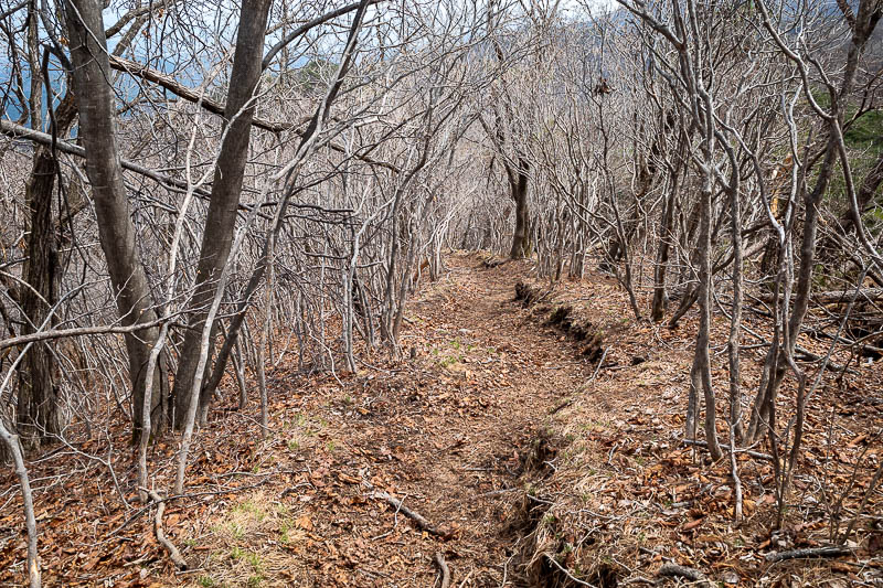
In this middle section the park became less well maintained, but often there were flatter bits for fast progress.
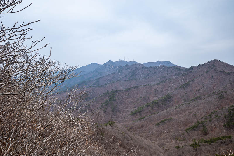
Looking back on some antennas again.
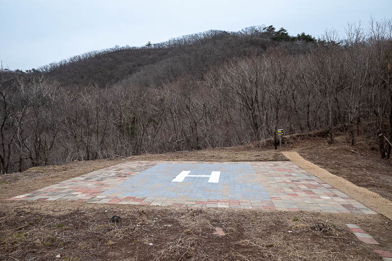
I think this was the 3rd helicopter landing area of the journey, but this one looks well maintained, the H is recently painted.
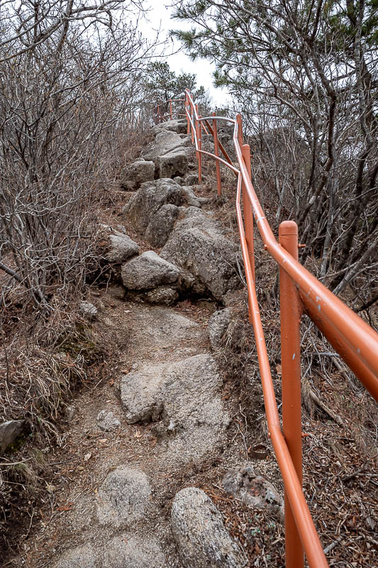
I enjoyed the orange hand rail.
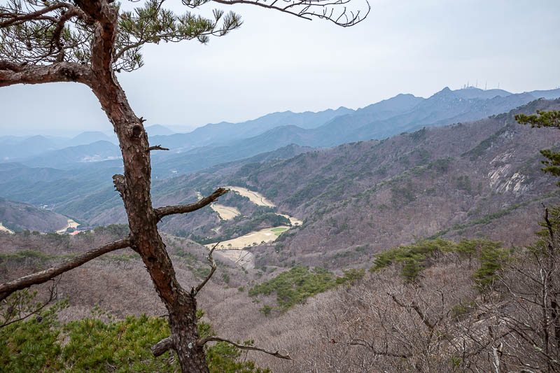
A bit more golf course, and the antennas on the right.
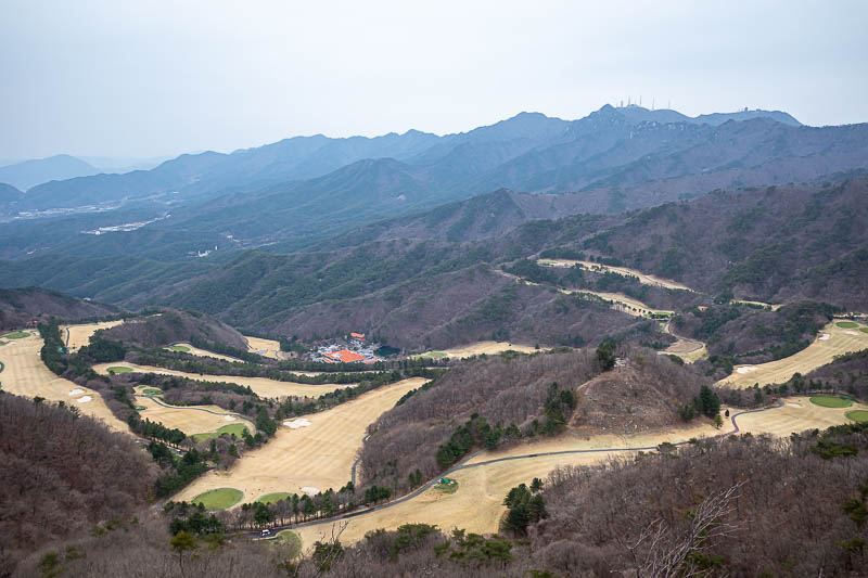
And nearly all the golf course. I guess they cover the greens in winter? Otherwise they would be brown and dead as well. OK enough golf course.
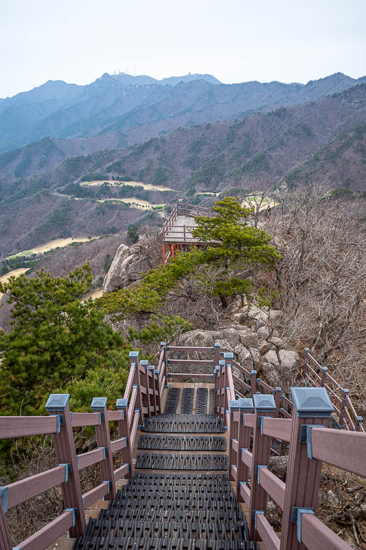
Getting closer to Gatbawi now, so there is a lot more infrastructure to improve progress.
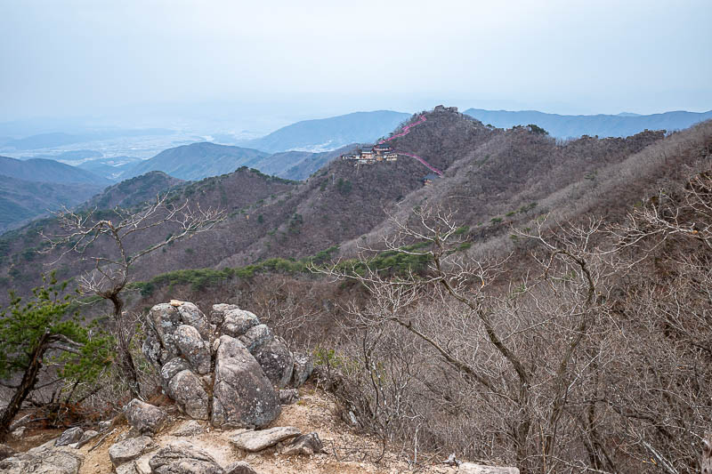
There is my final destination. Well actually the bit on the top of the hill with the Buddha as you shall see shortly.
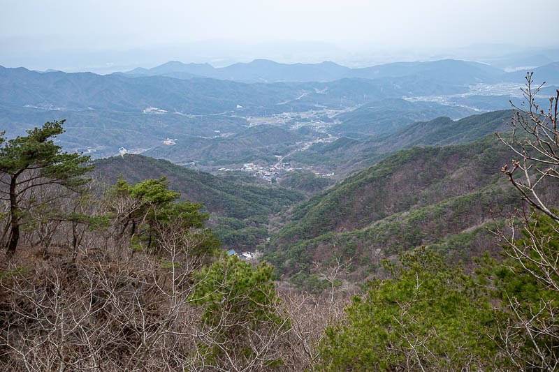
A view in a different direction.
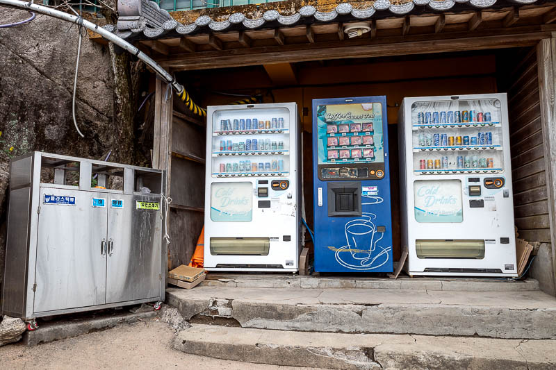
I have arrived! Vending machines can mean only one thing, Buddha!
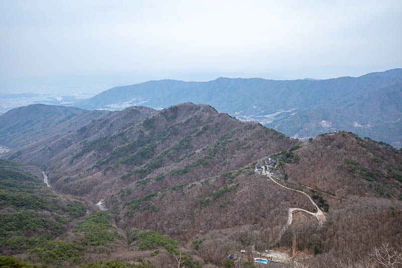
First, a pointless view shot from the Buddha area.
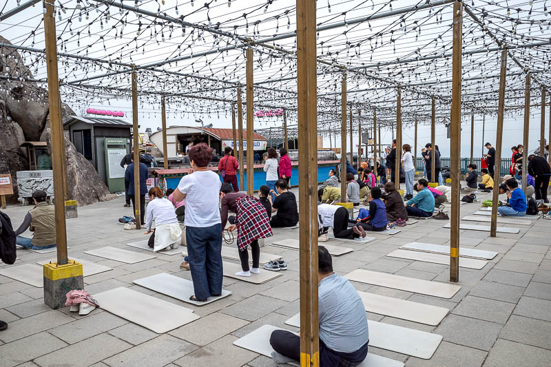
And now, here are people praying to the Buddha, while I take their photo. This is all on the top of a mountain on the edge of a cliff.
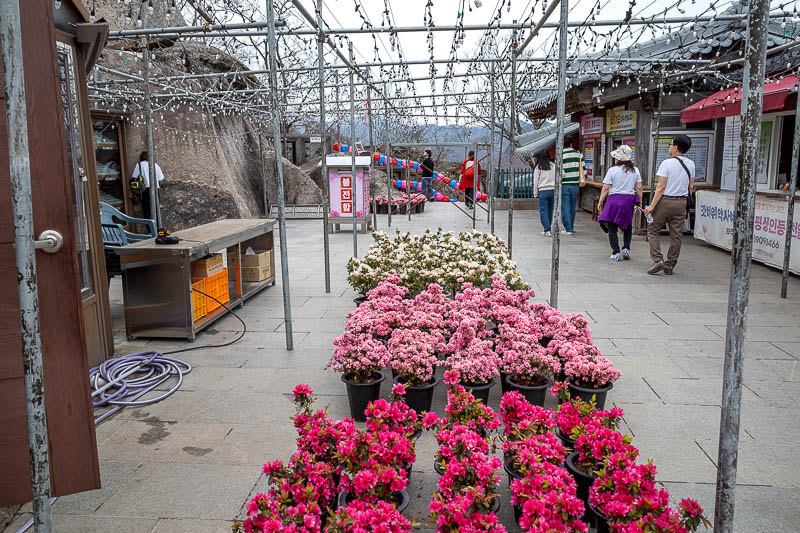
Random flowers.
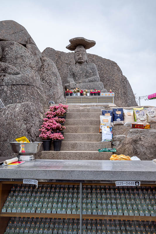
And there he is. Carved from one rock, between 800 and 900 AD, so 1200 years ago. Named Gatbawi, I learned that Gat = hat in Korean, and he is wearing a traditional Korean style hat.
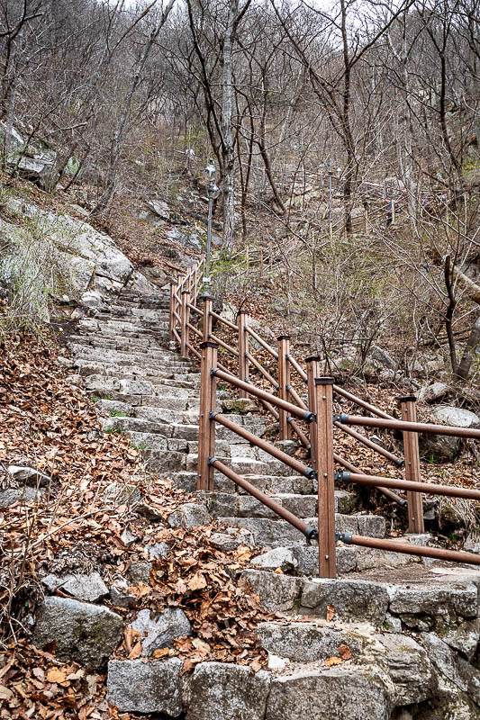
The way down is a huuuuge staircase. This is looking back up some of the stairs. Just a small part of the stairs.
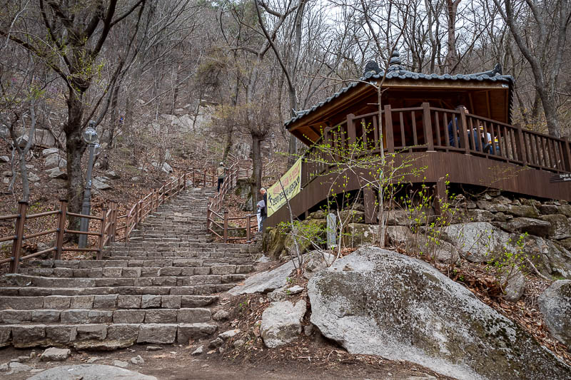
There are many rest areas on this staircase. A lot of people just come up this staircase to go see the Buddha, then back down again. They do not add on a 6 hour pilgrimage like me, which means I am much more spiritual or something.
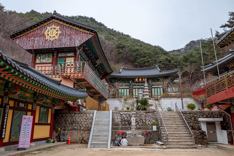
Here is the inevitable temple at the bottom.
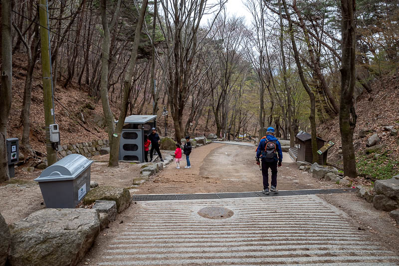
The path down from the temple is also very nice, I imagine it is excellent in Autumn.
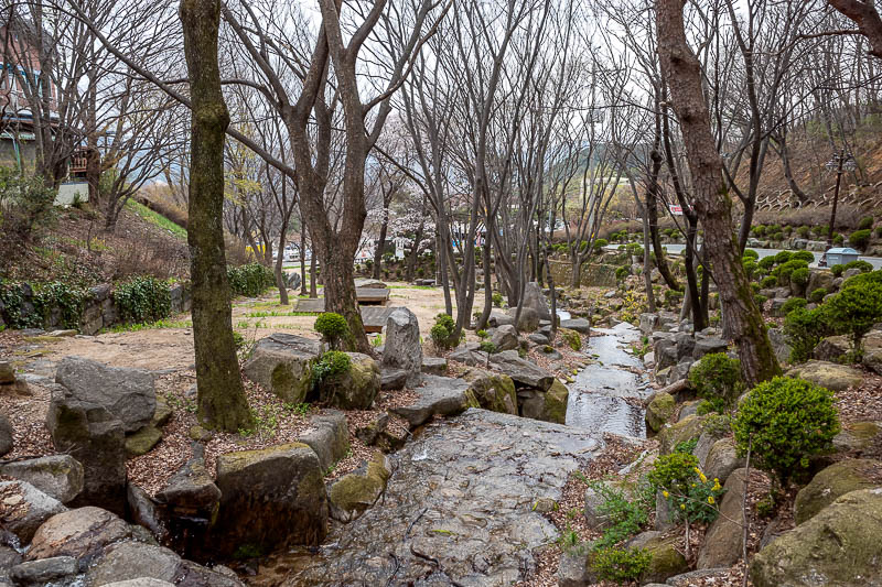
The bottom area is a small town with dessert bars and cafes, but instead I took a photo of a stream.
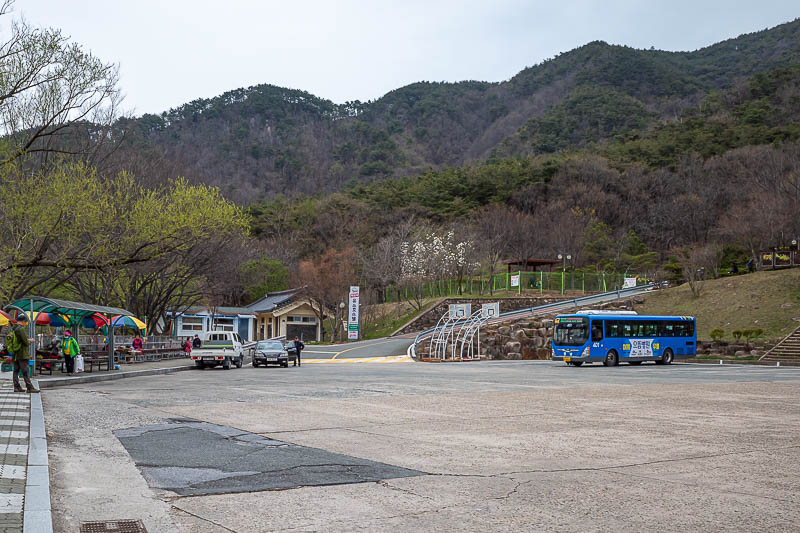
And then there it is! My bus. The good old 401. They come very regularly, I just missed one and the next one left 10 minutes later.
That was a long day. I will not be going too far tonight.