14 November 2022
Colonnades hermitages and Gorals
Mudeungsan from Wonhyo ranger station
I have done parts of this hike before. It was fantastic, and admittedly last time had a clearer view.
Today I got on the right bus immediately, a difference from last time, and ended up at the same start point very early, so I decided to go on a longer path.
All up it still was not too long, about 6.5 hours bus to bus and 32,000 steps.
It will be the highest hike of this trip, about 1200m, which is really not that high, but high for the Korean mainland.
Just like last time, the actual summit is off limits. The summit area of this national park is heavily militarised, and rumour has it there are actual US missiles on the summit proper.
Despite not being allowed to the very top, it is a great hike, especially if you walk around the back of the mountain first the long way. I saw not a single other person for 3 hours. It was quiet too, no helicopters. This would change. As I descended in the afternoon there were many fighter jets doing circuits, Gwangju airport is a USAF base.
Also on my way down I saw an old man in front of me plummet down the rocky steps. He told me he was fine but I was not so sure, it did not look like he actually slipped, more like he collapsed! He sat for a while and I pretended to take photos nearby while I watched, once some Korean people came I moved on.
I took too many photos, so the description will continue below.
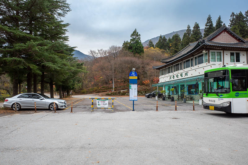
The ride around the back of the mountain on the bus was death defying. There were speed humps on the road, the bus driver saw this as a challenge to get as much hang time as possible. I am glad we were going uphill rather than downhill.
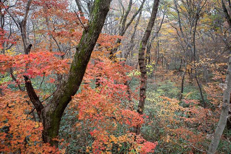
Even the bus car park area has some nice leaf colour today.
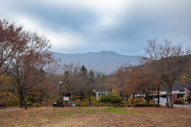
This is the furthest entry point to the national park from the city, but there are still a few shops and restaurants around. They looked closed as I went past. Also I would walk across all those mountains in the background, after walking around them to the left first.
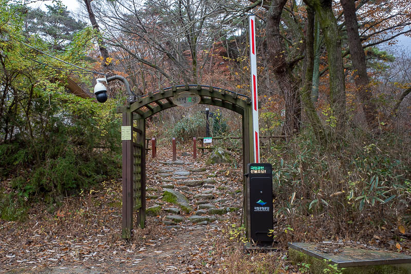
The start of the trail. If the boom gate was down, would I have paid any attention to it? I really doubt it.
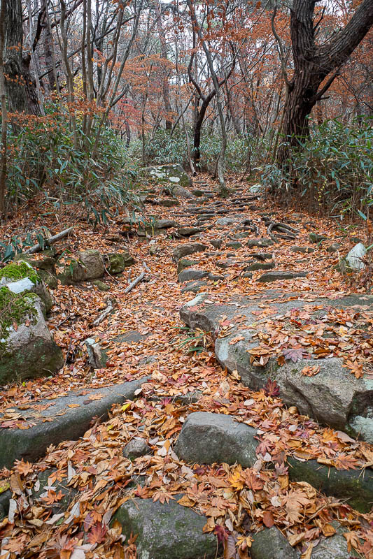
The path initially was easy going, and it was well defined the whole way. However at times there are military roads, and a few dead end paths that you probably do not want to get tricked by.
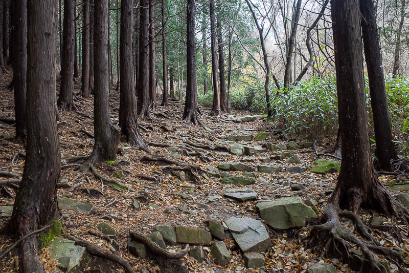
There was even a cedar plantation, more like Japan than Korea. I guess since this was declared a national park in 2008 or there abouts those trees on the left will never be cut down?
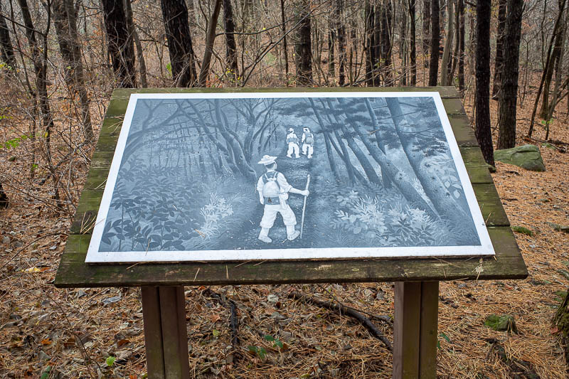
Helpful sign in the middle of the forest.
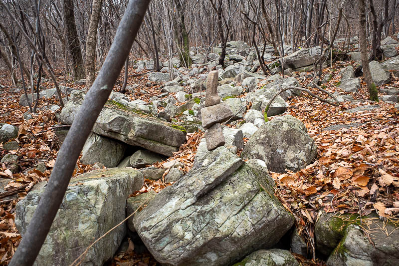
The path became harder work at times. The rocks however were not slippery, despite recent rain.
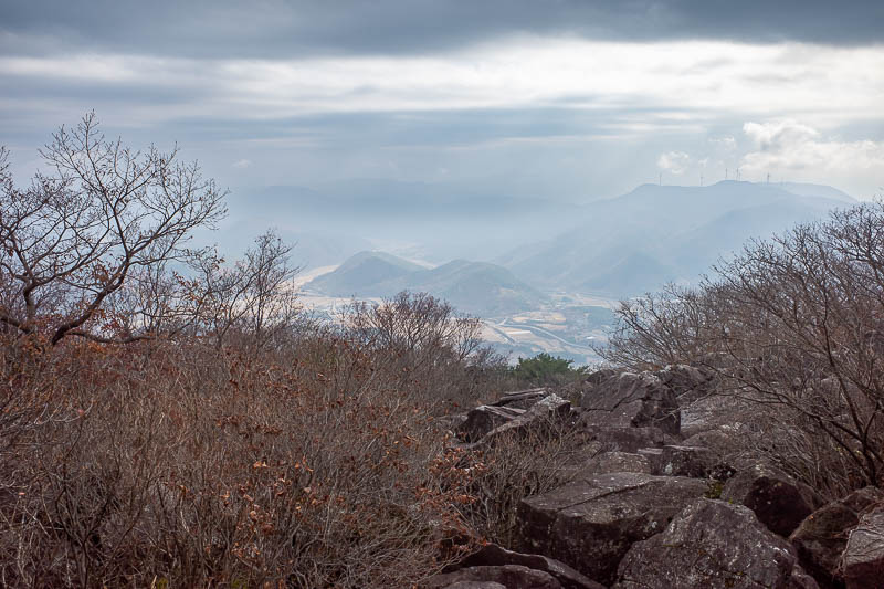
First view of the day was hours into the hike. It would be an excellent view on a clear day with the yellow crops and the little mountains sticking up. There is a river down there somewhere too.
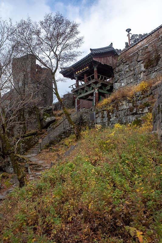
Here is the hermitage. It appeared as though no monks were there, but I think they had retreated somewhere further away as I could hear throat singing over a bad PA system coming from somewhere.
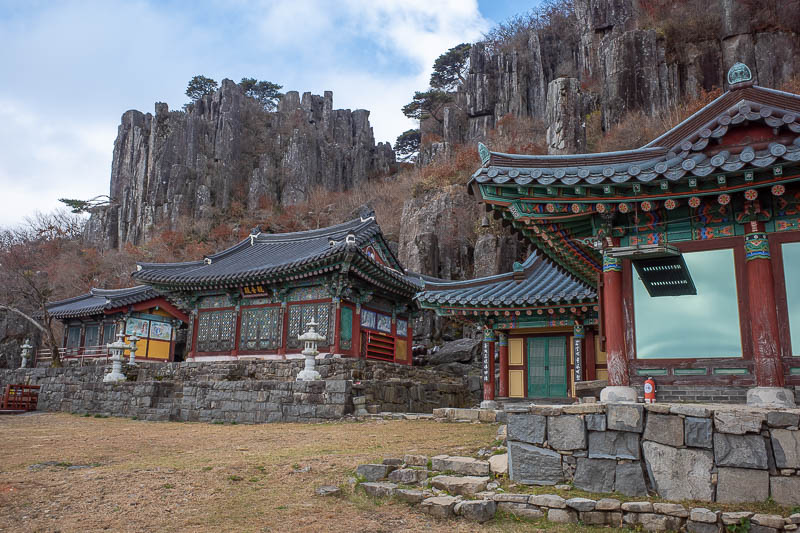
A bit more of the hermitage. The windows on the right are mirror glass presumably to reflect the sun. I adjusted my eyeliner.
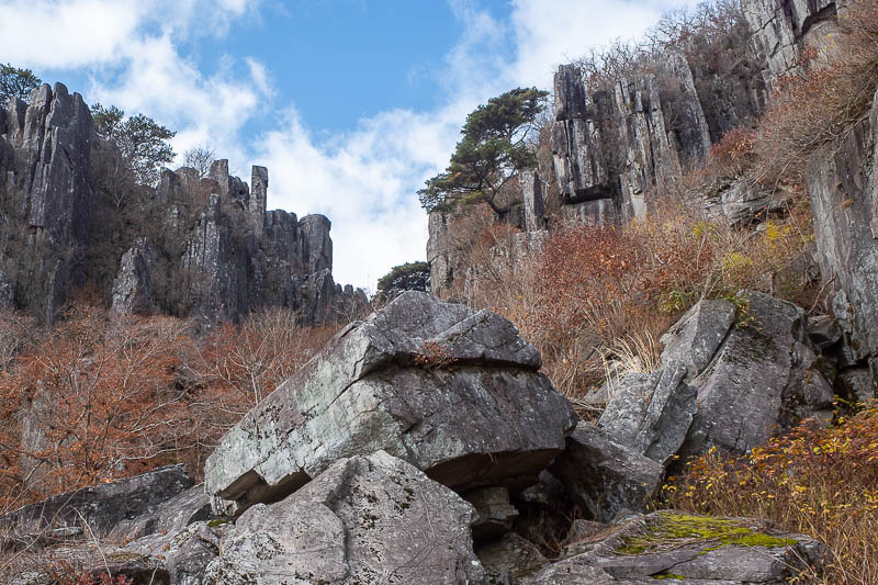
Behind the hermitage are the first of the colonnades. These were formed by volcanic activity sometime before I was born.
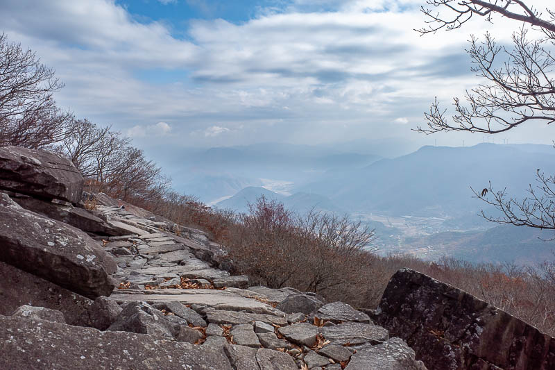
A bit more view. Nice part of the path in shot.
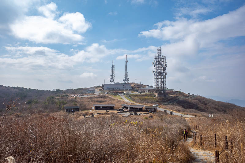
And then all of a sudden, you pop out into the military zone, first up there is antenna world. Cars can get up here on a dirt track too.
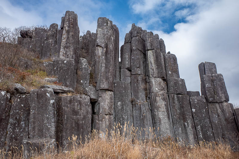
Some more nearby colonnades. I had to google how to spell it.
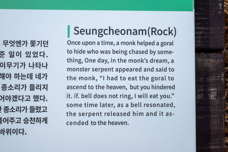
Here is today's mention of the Goral. If bell does not ring I will eat you. Good message to always remember.
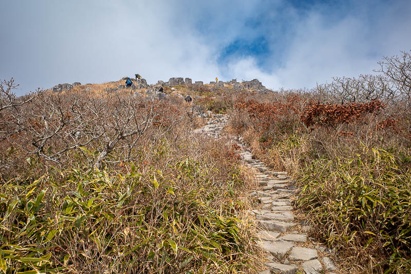
Last bit up to the faux summit.
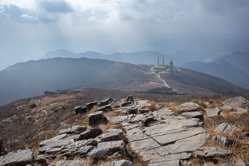
Nice view back down to antenna world from faux summit.
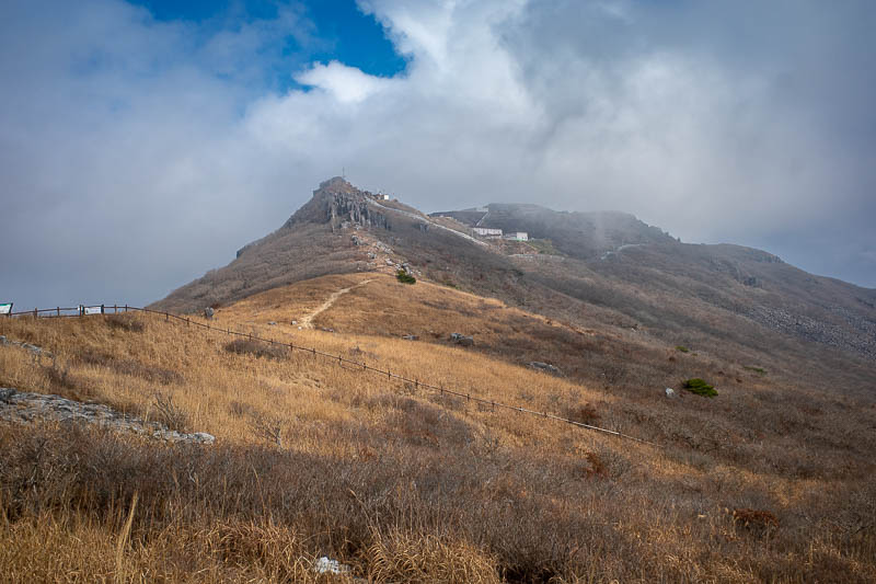
Nucular missile base. With fog.
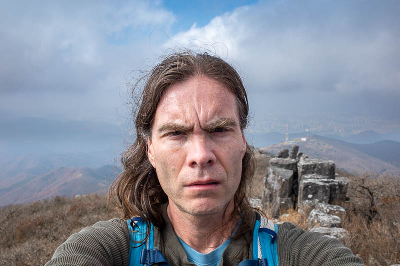
Wow, one of my best.
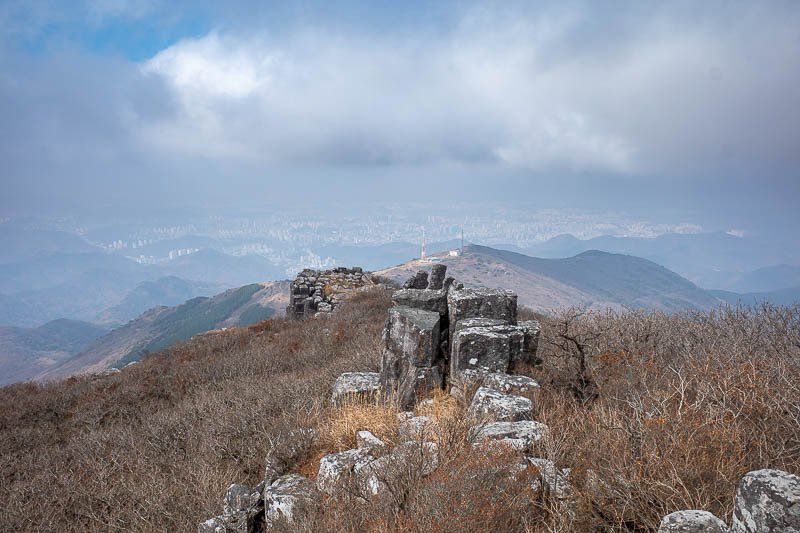
I would go down that way soon, past some different antennas. Gwangju in the background. Refer to my shots from my last visit here for a clear view of Gwangju.
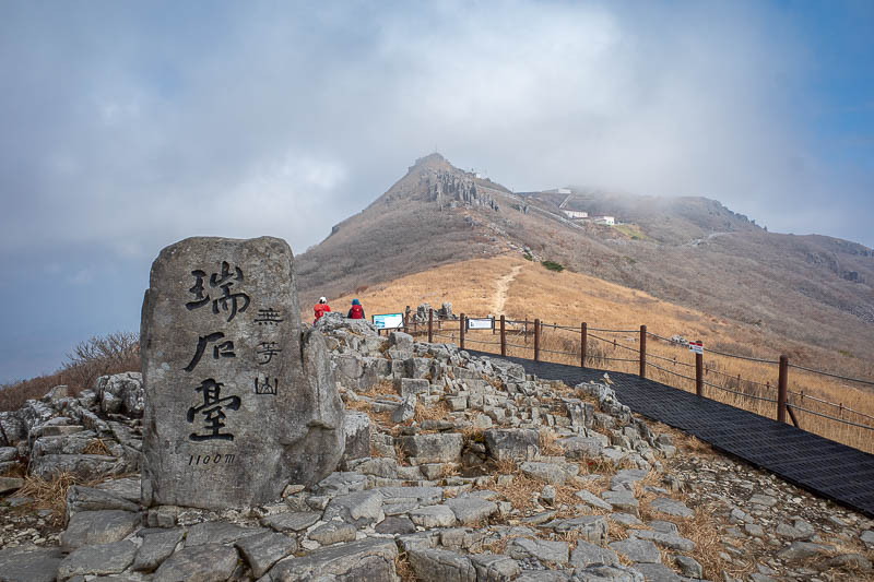
Faux summit marker.
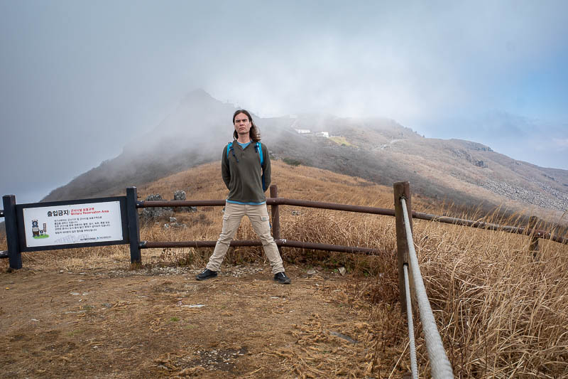
Time for the stance, with the nucular wissles behind me.
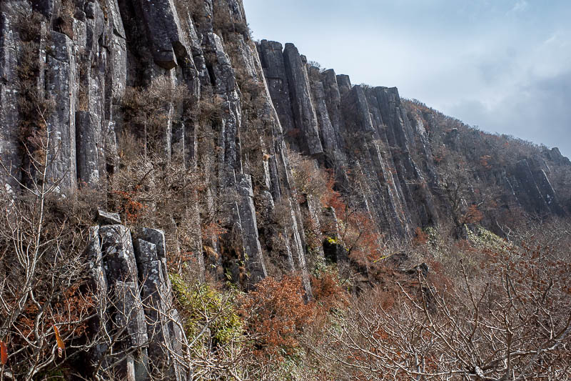
Colonnades. So many colonnades. Good photo.
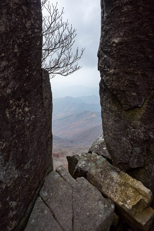
I suspect I took this exact photo last time. Later I will do a detailed comparison.
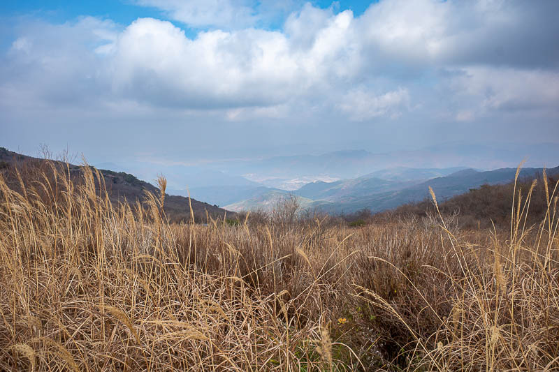
Time to head down.
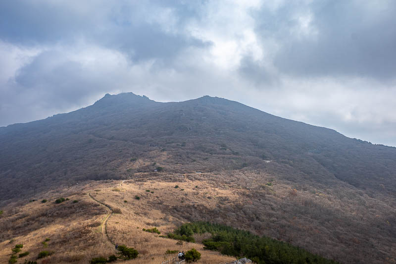
I came down from up there, but I am not really near the bottom yet at this point.
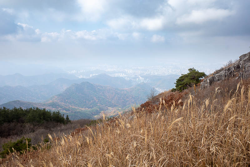
The bottom is along that sort of green ridge in the mist.
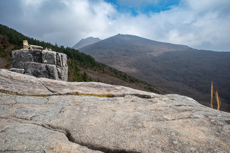
A bit further down, and another view back up again. Really these comments are becoming redundant.
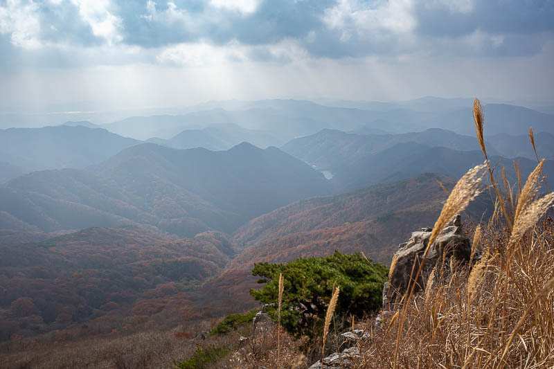
It never rained, but it did look rainy at times.
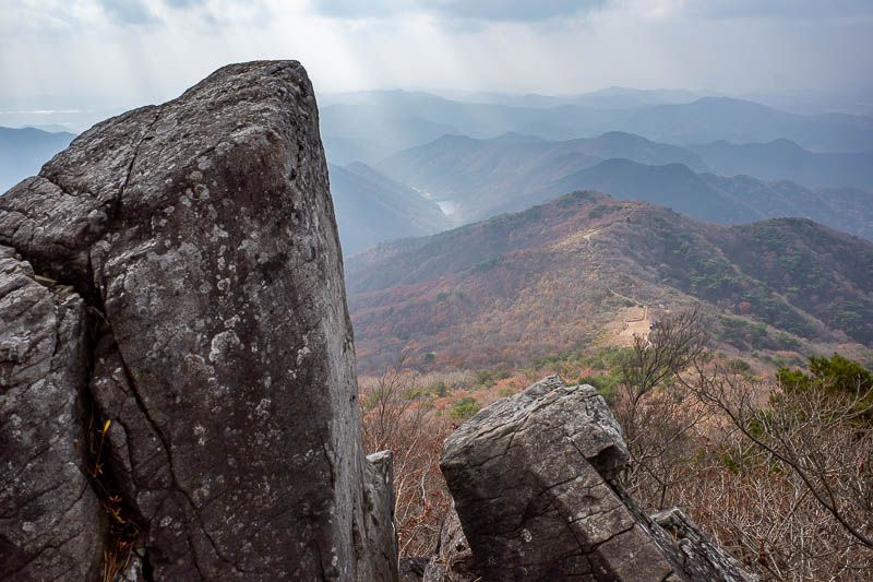
Last one of these shots for today.
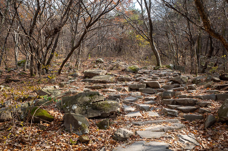
Back in the trees, and it was a very long, longer than I remember, rocky path down. Near here is where the old guy collapsed.
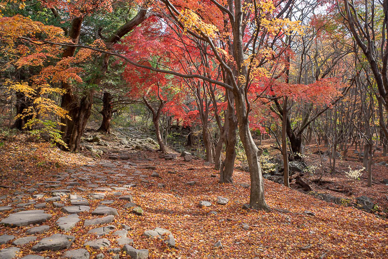
A particularly colourful bit. There were a few, this was the best.
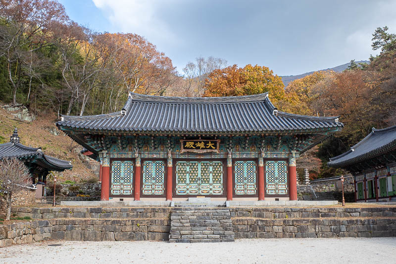
And finally, back at the lower temple. It had toilets.
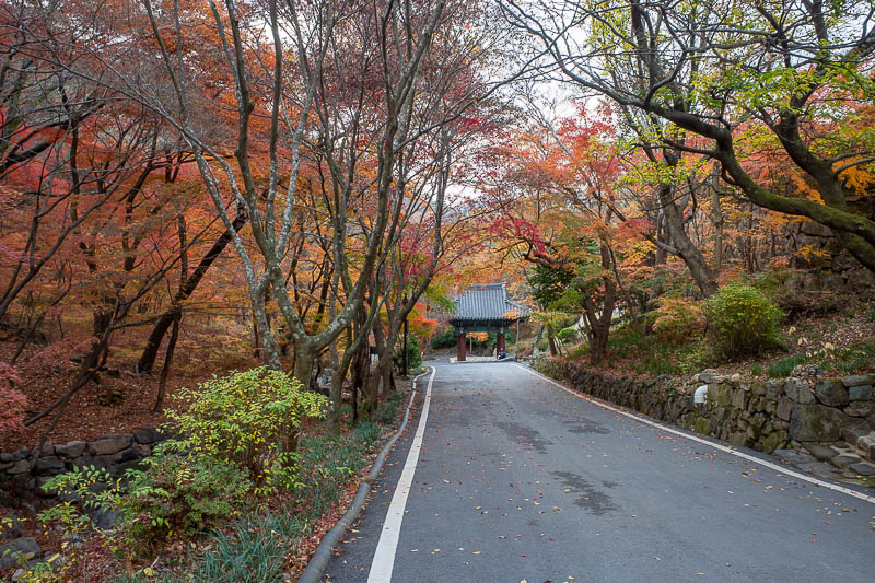
Even the road down to the bus stop / shopping street was nice and colourful.
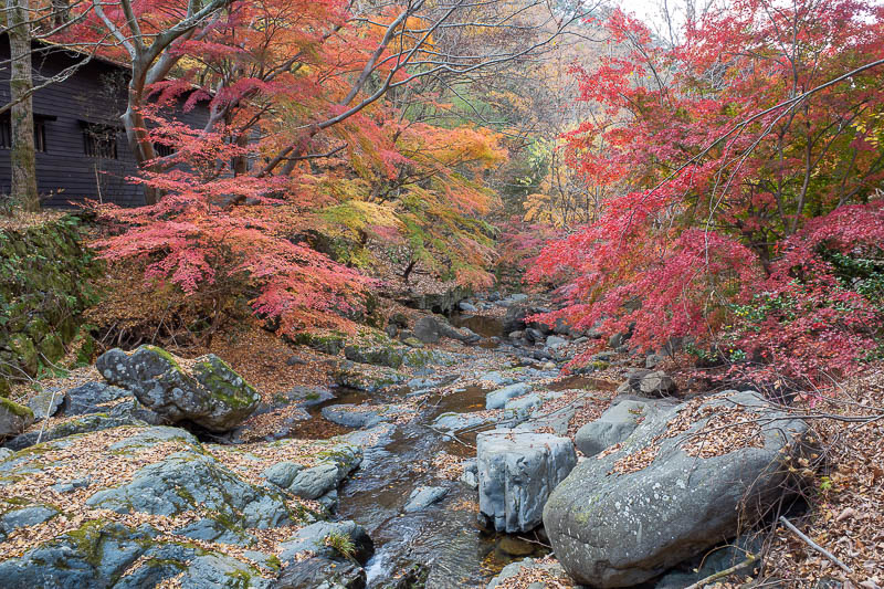
There was also a little stream with many points to take photos.
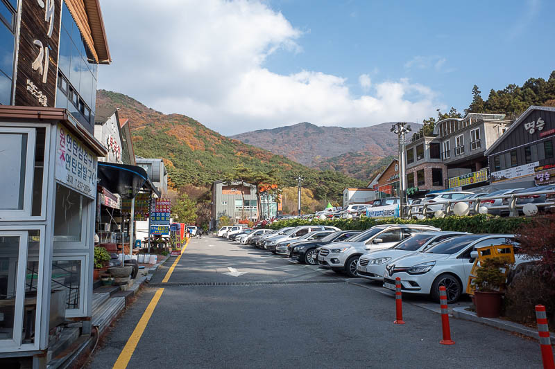
Once back near the bus, there are 50 or so shops selling hiking gear, as well as cafes, restaurants, and a high end hi-fi gear shop.
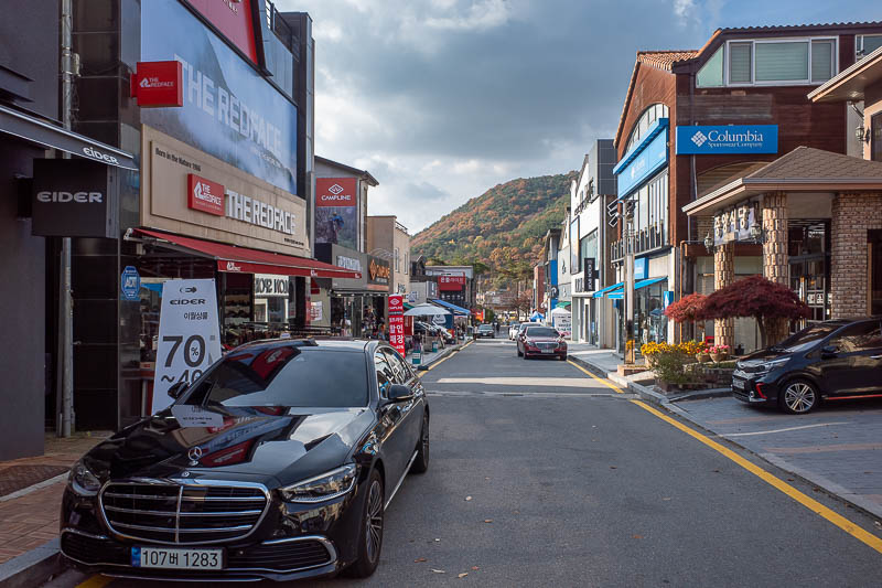
More hiking shops.
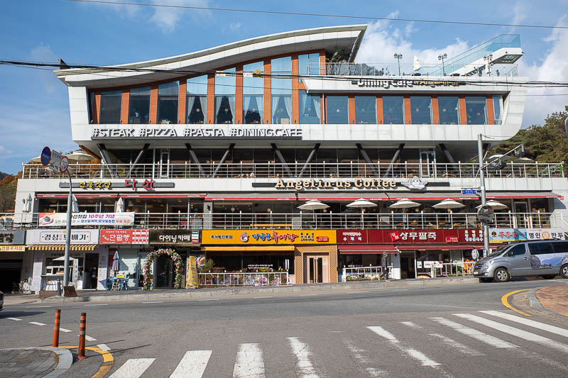
I remember this giant angel-in-us from last time. Sounds painful.
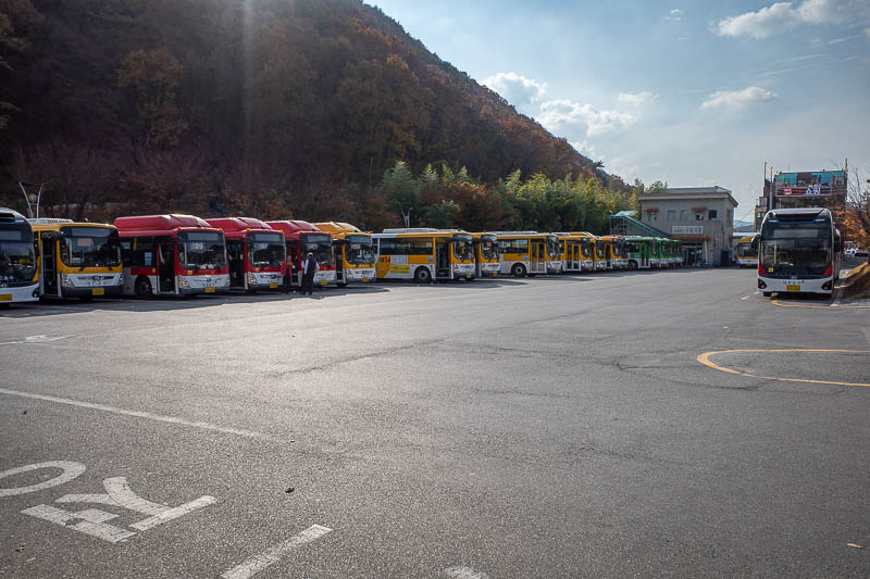
That just left working out if a bus would ever come. Oh wait there's a million of them. They basically all go back to where I want to go, or failing that, a subway station. I just got on the first one and it went almost to my hotel door.