13 April 2024
The best views of Busan
Seunghaksan from Dong-a University
Why have I never been here before?
Today I went to a fairly short hike that has absolutely the greatest views of Busan, in every direction. It was only about 3 hours, and just under 10km. Not even 20k steps. I knew it would be short.
To get to the start of the trail I boarded the subway out the front of my hotel and got off at Hadan. I think the subway has recently been extended to get to here, so that might be why I have not visited previously.
The course started at the nearby Dong-A University, and ends at Daeti station.
It is all about the view, views all day. Also, a whole heap of university students out for a social activity as you shall see. So with out further ado, onto the view.
Oh, just realised, holiday is half over already. That was fast.
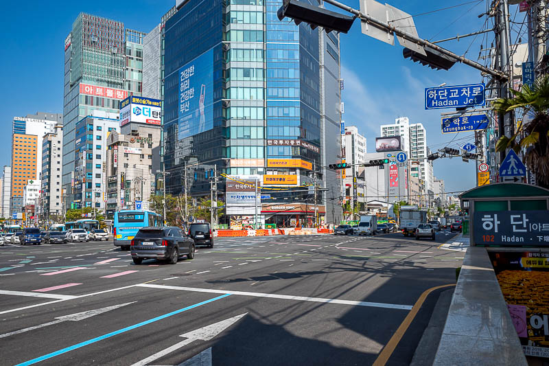
This hike starts on the outskirts of Busan. If you are wondering what the outskirts of a big Asian city look like, this is it. High rises all the way to the very edge.
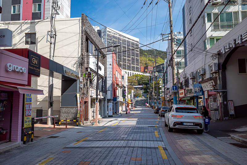
The university is on the edge of the mountain. The streets leading up to it are kind of meant to be pedestrian streets
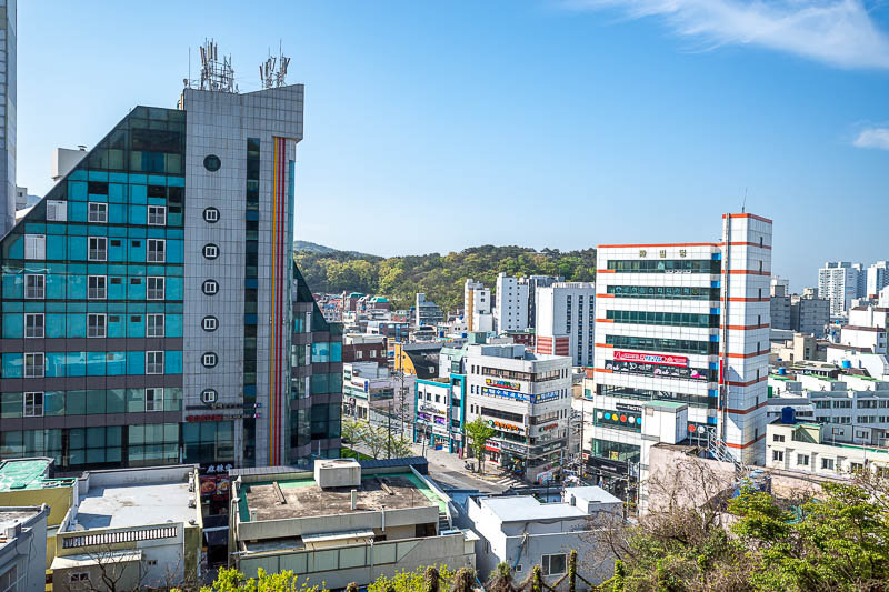
Here is the view from the start of the hike.
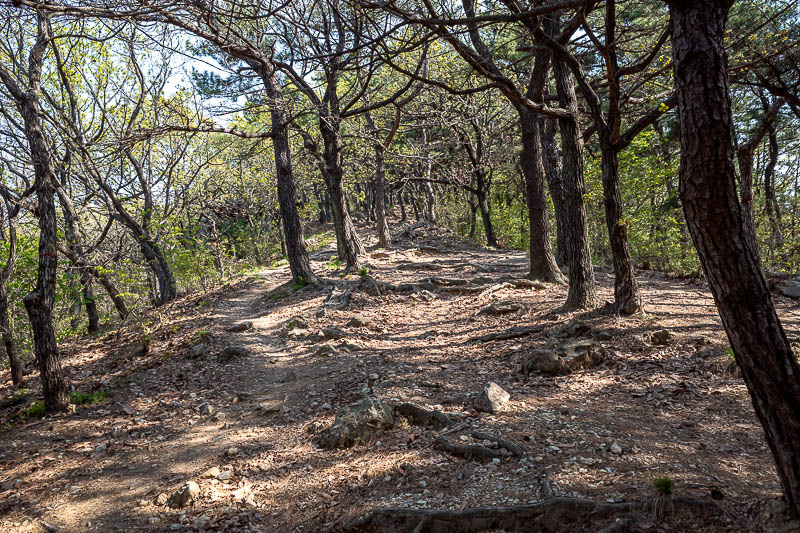
But don't worry, the trail soon becomes rocks and trees.
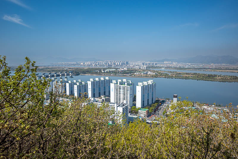
This low down view is looking away from Busan, but still more high rises, and a nearby eco island bird sanctuary.
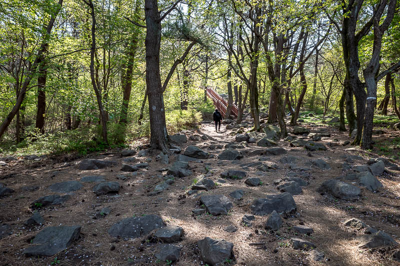
This is a very popular trail, so there will be stairs, and other people. Here is other people.
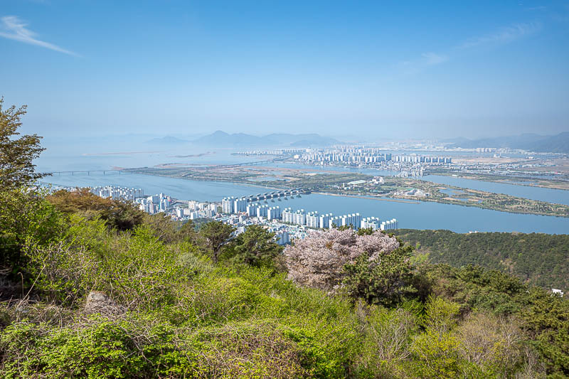
There is the full eco island, bird sanctuary, education centre, sewage treatment works.
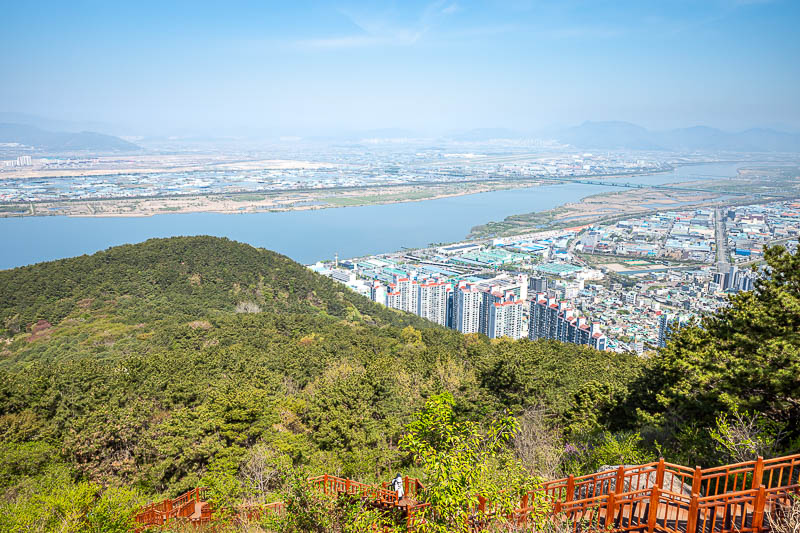
Over there across the water is the airport. I am not sure if that is a river or the ocean.
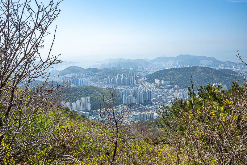
Quite a bit of pollution today, but still great views.
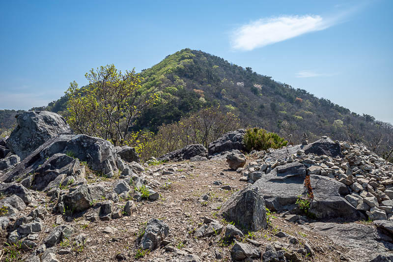
Rocks nearly all day, but also tree cover, and blossoms.
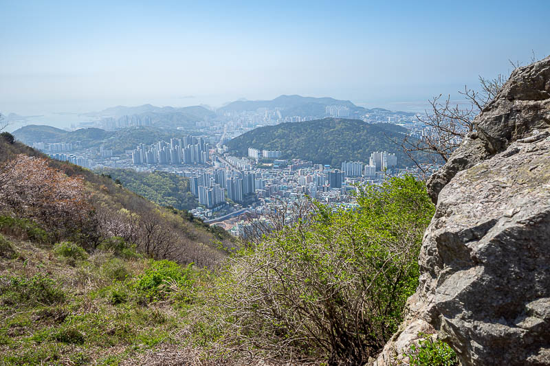
Sometimes I like to incorporate rocks into my view shots.
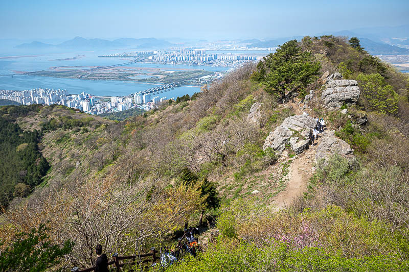
Here you can already see quite a lot of other people.
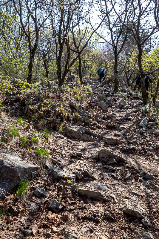
Lots of rocks, and quite a lot of people. The people will thin out eventually.
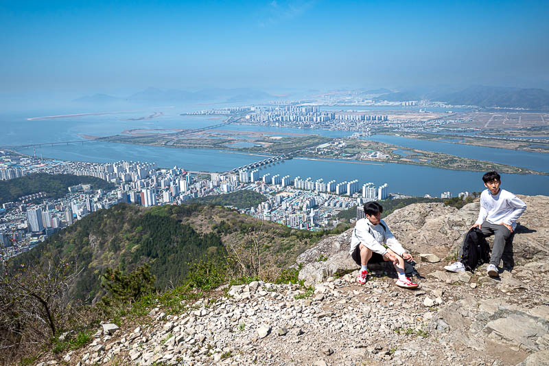
Heres 2 dudes contemplating if their university studies are too stressful and if they should end it all.
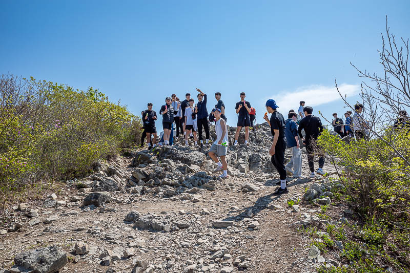
This is a just a small portion of the university social group who have been getting in my way up until this point. Impressively they have an ice cream station on the summit, which means somebody carried up 100 ice creams. They offered me an ice cream but I declined.
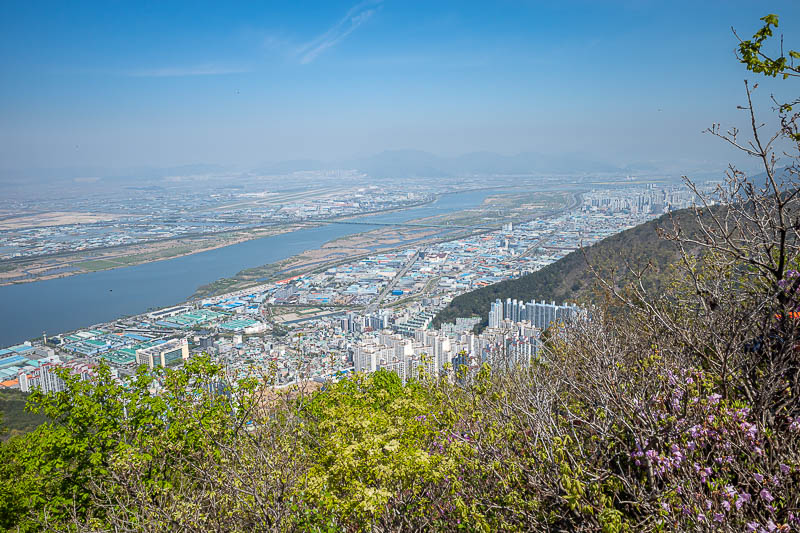
A higher view towards the airport.
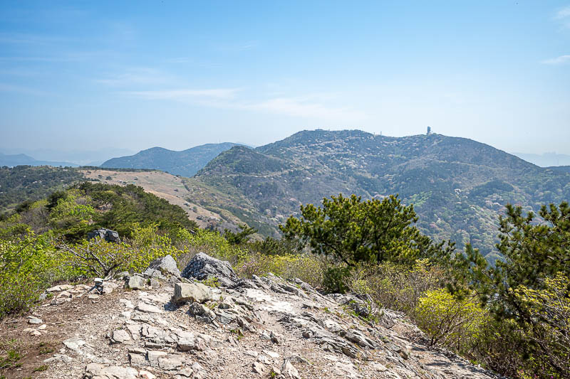
Eventually I will get to that observatory, but first I will head down to the bald patch on the ridge.
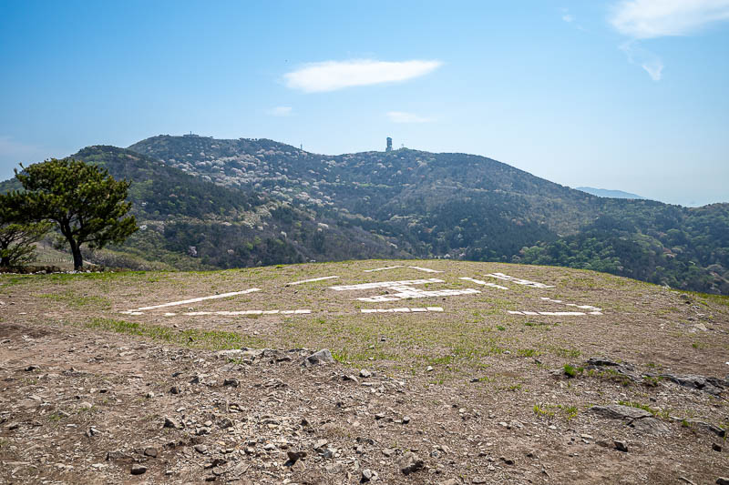
Today's helicopter pad is a triangle. First triangle helicopter landing pad of this trip.
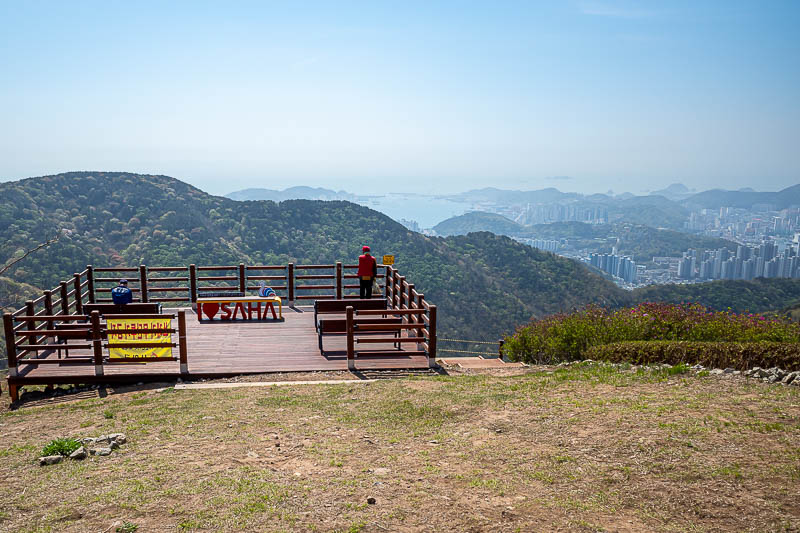
A view of the view spot. This area of Busan is called Saha, hence, I love Saha.
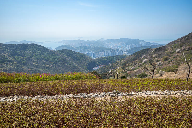
The bald spot on the ridge has a manicured garden area for picnics. There is an easy way up to here which even mountain bikers ride up.
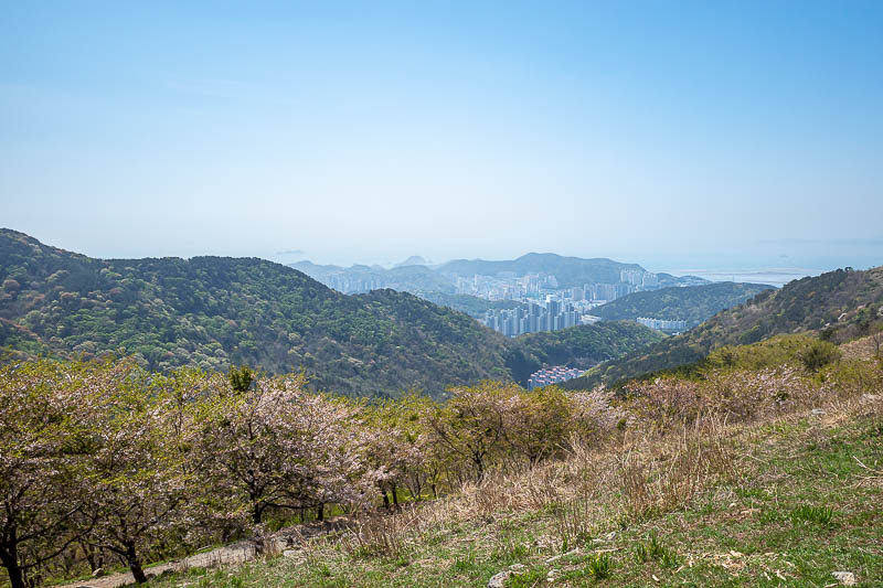
The valley down from here is full of blossom trees, however it seems we are past peak blossom here in Busan. Hence the trees are also greener as leaves have appeared.
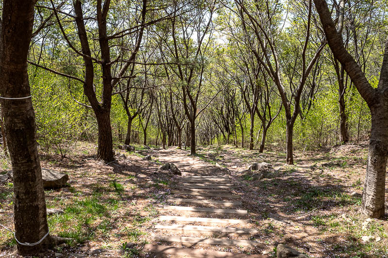
This is one of the other paths down, but I shall not be taking it, I will go up again, on the loneliest part of today's hike, but there were always still a few other people.
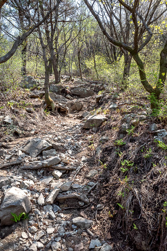
More rocks, so many rocks.
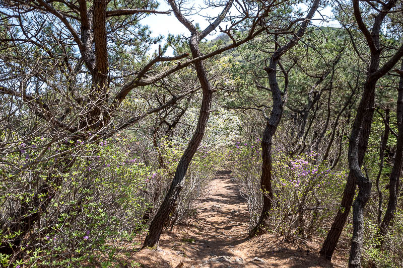
Also more flowers, blossoms, and not so many rocks, so the path made a liar of me.
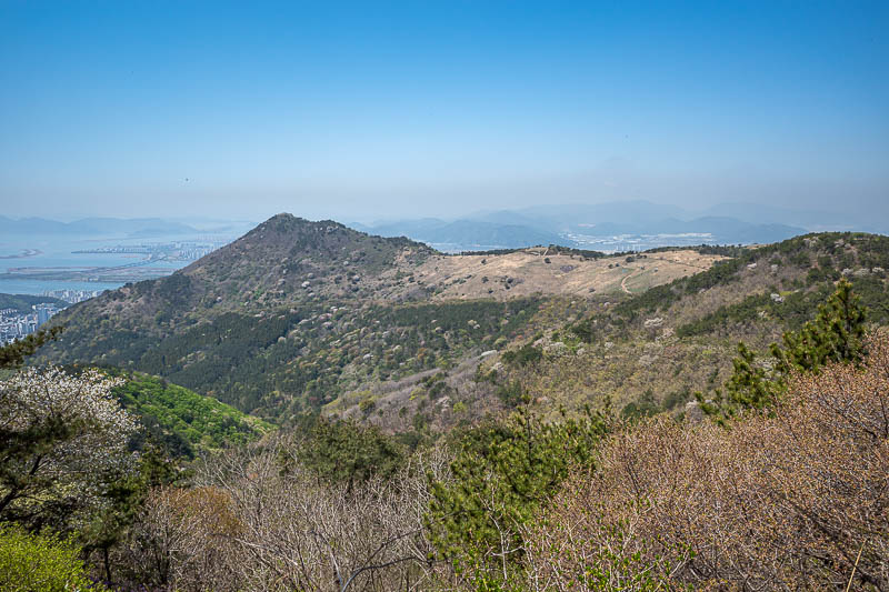
That is the ridge I had come along, you can see the bald spot, later you will also get to see my bald spot.
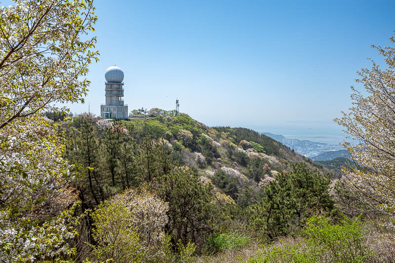
TO THE OBSERVATORY!
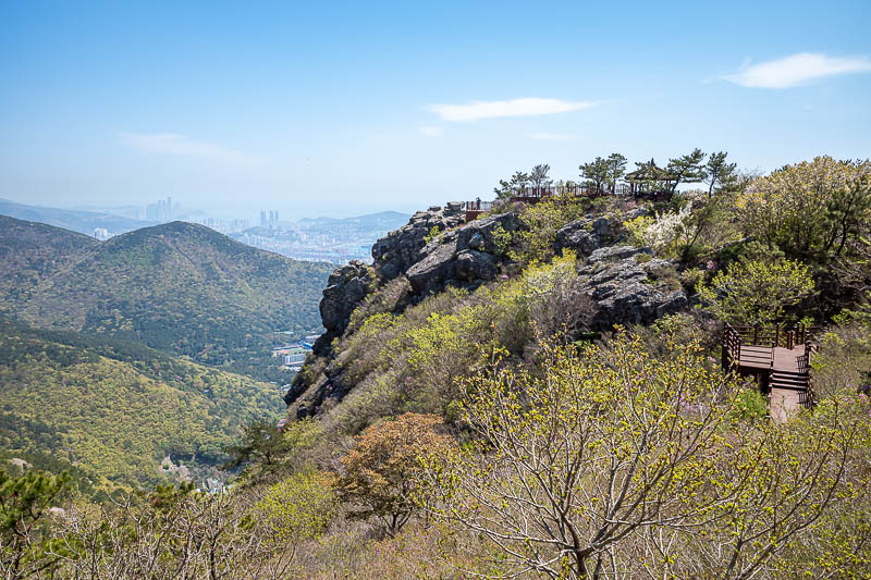
Oh wow, unexpected amazing view approaches. I thought maybe I was done with the views for today, how wrong I was.
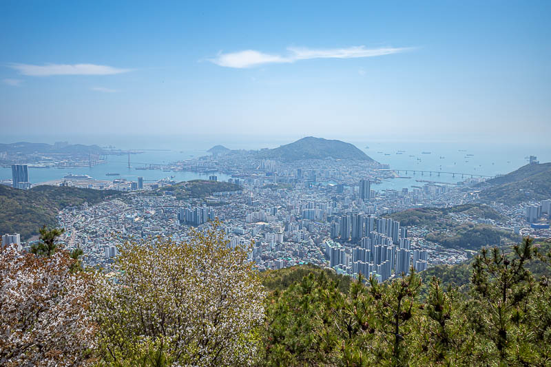
This is the best view you can get of Busan from anywhere. BAR NONE.
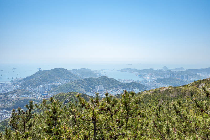
It continues off to the right...
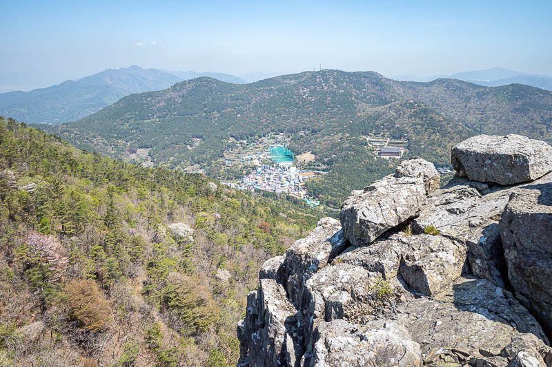
Around to the left, more mountains and a village on the hill.
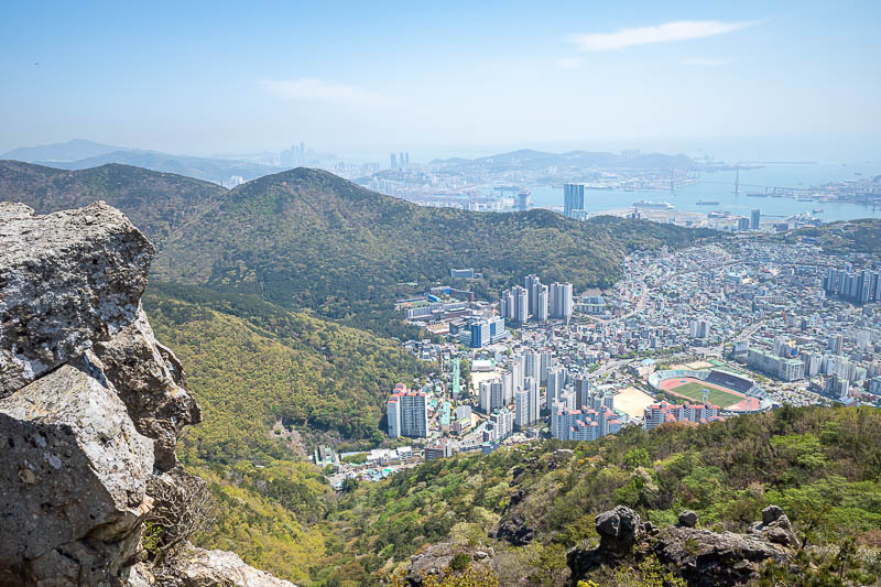
And this is the view around to the left from 3 photos prior which I declared to be the best view bar none.
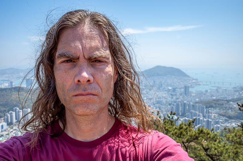
YES! Here I am. Great selfie today. My blood red shirt really helps accentuate my best features.
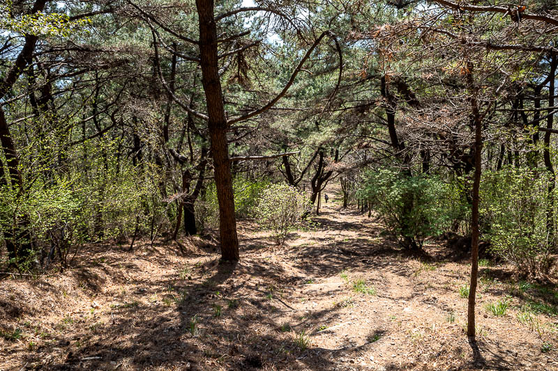
The trail down this side was thankfully a bit smoother, less rocks.
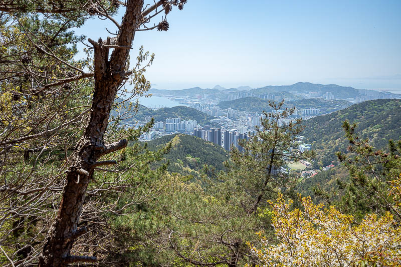
Now for a lower down view the other way. We are almost there.
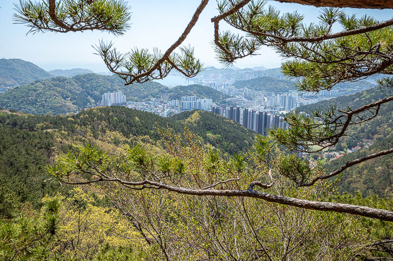
Same view, more trees.
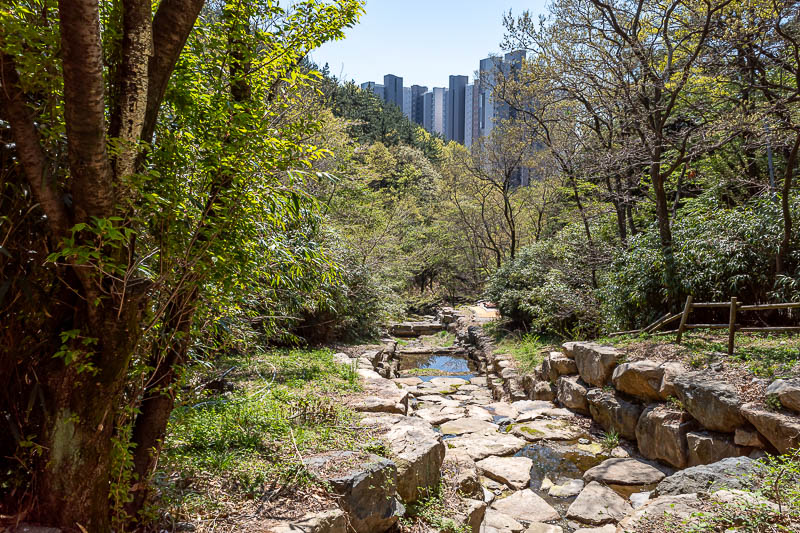
Getting close to the end. Exercise machines start to appear.
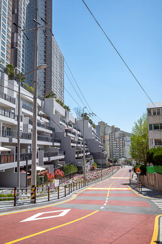
And today I did not exit via farmland, I exited the hike into high rise apartments. So that was something a bit different.
That is enough photos for now.