4 May 2023
Fogsweat
Datunshan multi-peak trail
I thought I got sweaty the other day. Nope. Today I got twice as sweaty. So sweaty that sweat ran down my legs and into my shoes, and made a squishing sound when I walked. So sweaty that the sunscreen washed down my shirt and made a white v for vengeance, which I was out for.
The Datunshan multi-peak trail is also in Yangmingshan national park, as seen on my 3 days prior repeat hike. On that day, it was very clear, however today, very foggy. This made for some cool fog shots. I probably should have taken more of those as there were basically no view shots.
As you shall see, today's hike was a mix of fully developed paths, and completely wild rope courses in mud. I just showered with my shoes to remove the mud and empty out the pooled sweat.
as Far as logistics go, I took the S6 bus from Beitou MRT station all the way to the end at the Qingtian temple, then followed signs for each of the 3 Datun peaks. There is an easier all paved trail that bypasses all 3 peaks to end up at the same place.
Because I like to join up with previous hikes, I then continued on over EXTREMELY slippery steps back to where I ended up a few days ago at the volcanic gorge area of Xiaoyoukeng, where I knew a bus would come.
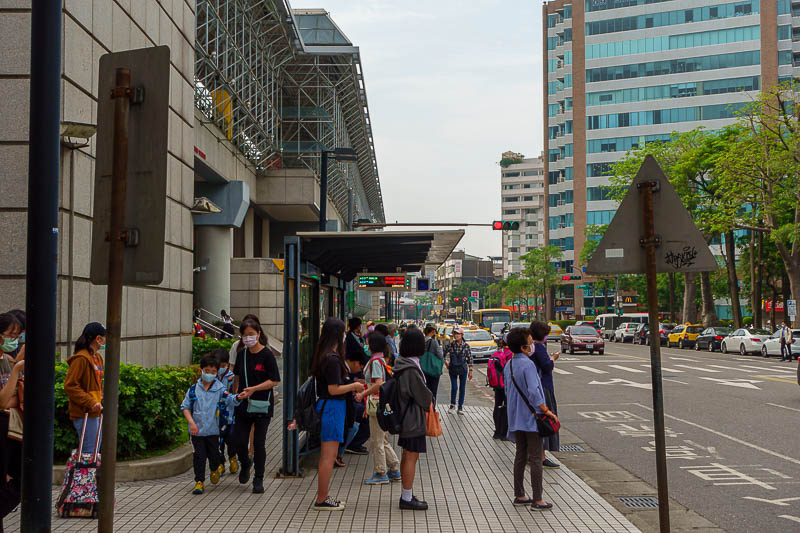
The bus stop area at Beitou. It is a bit tricky, there are 2 signs near each other for bus S6 (Xiao 6). One of those stops is just where it stops to let people off, which is different from where it stops to let people on.
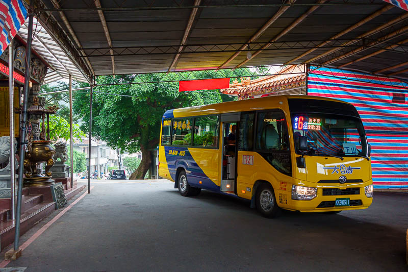
Here is the brave mini bus that hauled me all the way up the hill, also, incense burner!
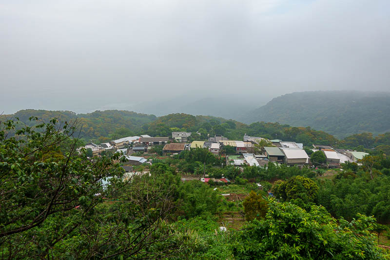
The village below was the start point of the hike, already quite foggy.
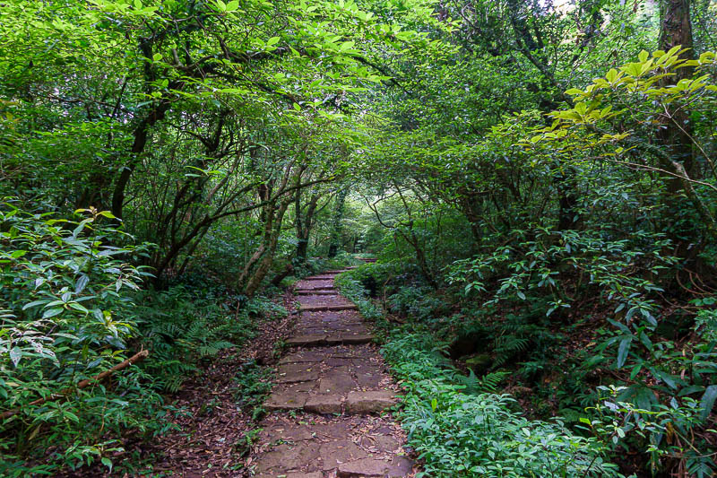
Fully paved path in a nice forest. I read reports of snakes, wild boars, angry cattle, I saw none of these, just huge fat round bumblebees.
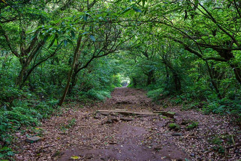
For possibly the first time on this trip, an actual hiking trail that is not a developed path, just wait though.
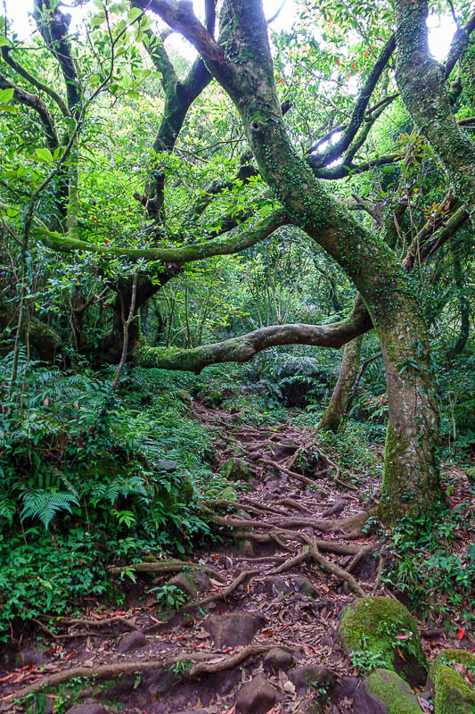
A wild mossy root filled path. Very exciting. Very steep in places. It was a bit concerning that I had to break a few spider webs, which indicated I was the first person on the trail today.
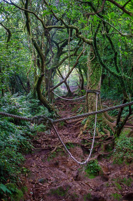
Lots of ropey sections. Usual disclaimer here, this is too steep to navigate without the rope, but photos never make anything steep look steep.
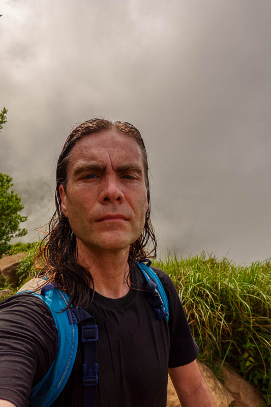
My completely soaked from head to toe head shot at the first peak.
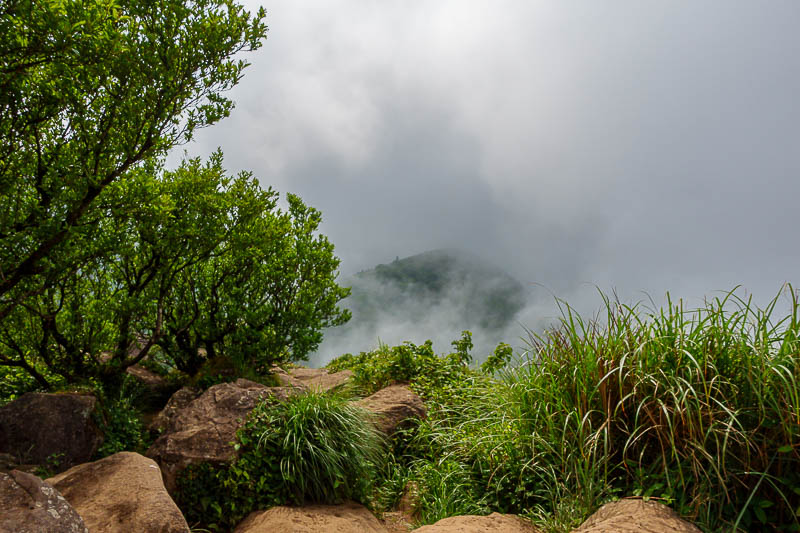
A foggy view of the next Datun peak over.
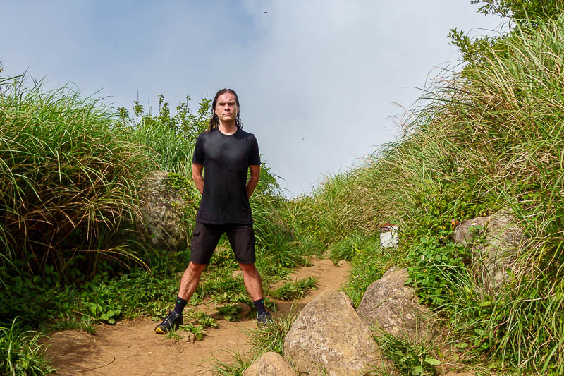
THE STANCE. As requested by thousands. I look like I am wearing a wet suit. I am not. That is all sweat baby! Zoom in to check out my right nipple, my left one always stays in. I might get surgery to fix that.
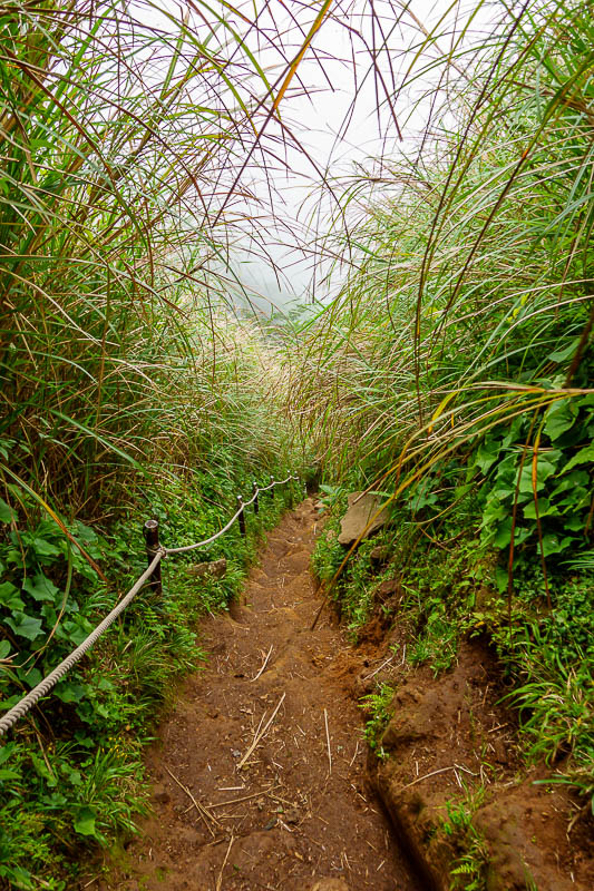
OMG someone else on my trail! This bit was also very steep.
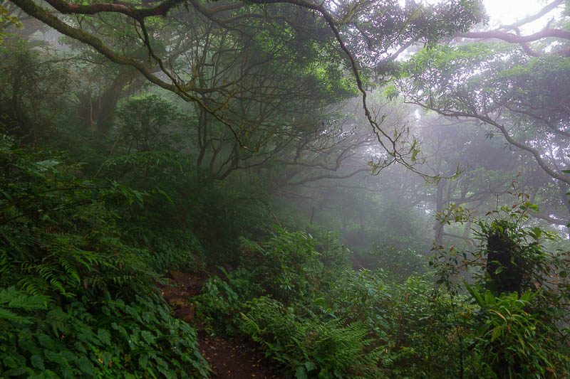
Another lonely section, this time in dense fog. There are numerous points to take detours to avoid the actual peaks, but what would be the fun of that?
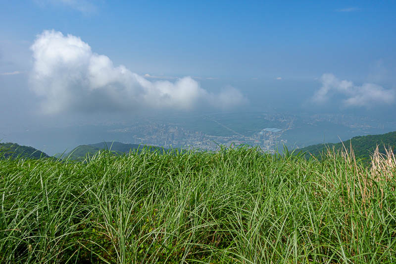
A view from another peak. Not much of a view due to fog. Dehazed a bit in lightroom to reveal the detail in the city below.
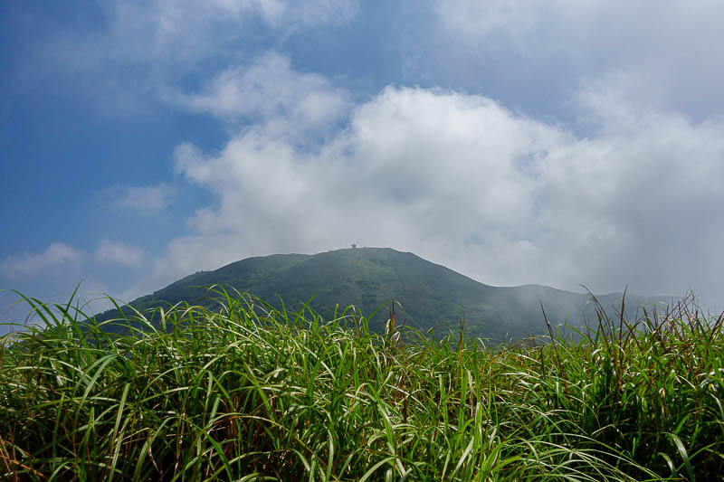
My next and final peak.
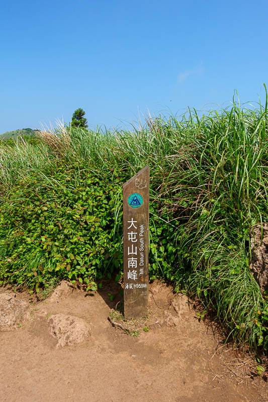
But before then, a peak marker. All the peaks were only between 950m and 1100m, slightly lower than the Qixing peak from a couple of days prior. All in all I did about 1200m vertical ascending today, but a lot of that was mud and ropes so it took a while.
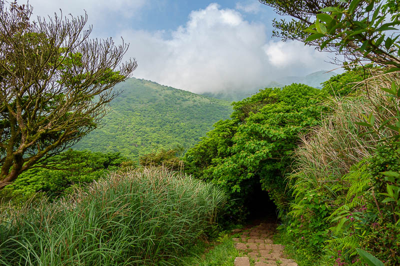
A more developed section on the butterfly trail. There were actually hundreds of butterflies, but they do not photograph well.
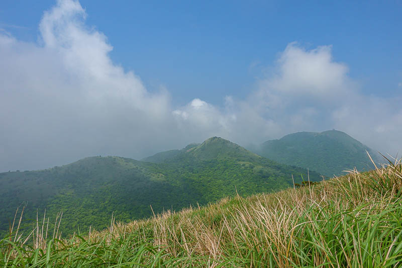
View from the last peak of the day of the previous peaks of the day.
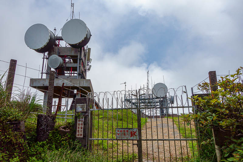
Just a tv transmission tower I think, I do not see military bases on mountain tops here like in Korea.
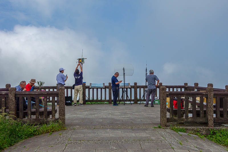
You can drive to this bit, and so here is some kind of club who hated the fact I was taking a photo. Perhaps they are beaming secret info to the mainland?
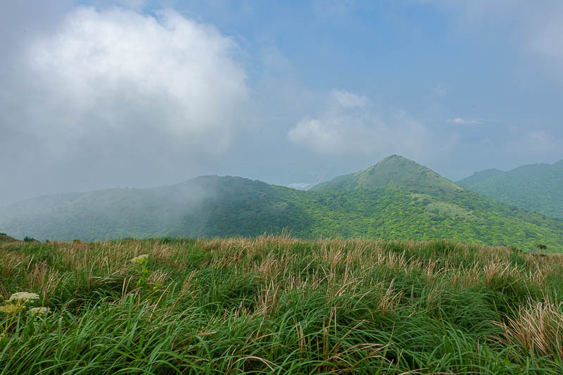
One more view shot from here.
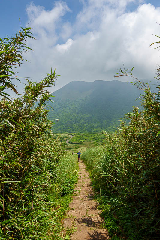
First some non mossy steps down the mountain, so far so good.
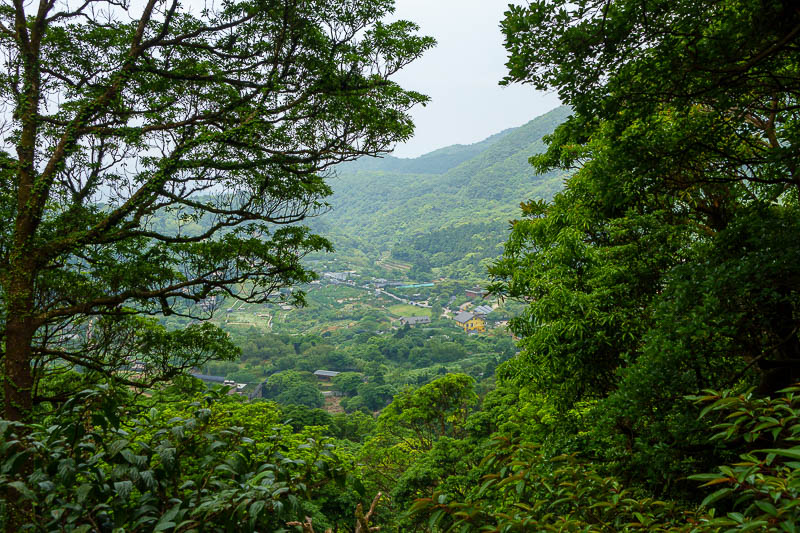
A view down the valley, but I am not going that way.
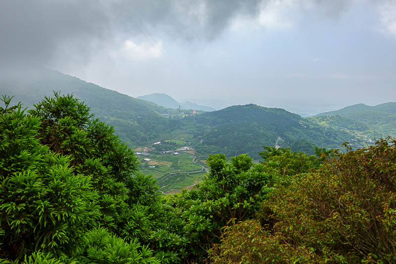
One last view shot.
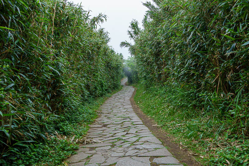
It became clear I was getting to my destination when the path became wheelchair friendly instead of a moss covered death trap. I think it actually joins up 2 car parks.
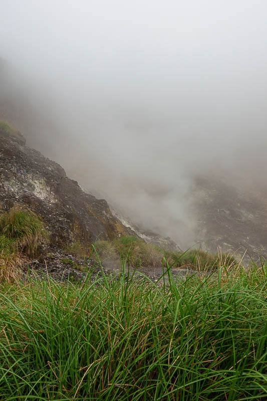
And for the final pic of the day, here is where I took a heap of photos 3 days ago, enjoy it again today, with fog added to the volcanic sulphur.