20 March 2014
Still more mountains
So today I climbed yet another mountain, or series of mountains, I cant be sure. I ended up in a dehydrated state of delirium by the end of it, which was fantastic.
The place is called Dakeng, and theres a number of different paths here in 2 different areas, I went up the hard areas of course, and later found out I went up the unmaintained path, and then down a higher quality yet still dangerous path, at least in my opinion.
The danger here isnt falling over a cliff, theres very little chance of that, pretty much the entire journey is on raised pine log ladders, with gaps between each log.
What this means is you have to watch carefully where every foot goes, or you will miss and fall through the gap. I did this only once, that was enough.
Theres also parts of the ladder log system with broken or missing logs. Many of the logs are worn to the point where you question if they will break when you step on them. And then theres parts where theres multiple replacement frames of logs stacked on top of each other, as older ones have snapped or been washed away.
There are a lot of ropes to hang onto as well, when they dont snap. This happened!
Also there some parts where the log ladder has been deemed about to slide down a cliff, so you have to haul yourself around it on temporary ropes.
Anyway, to get there I had to take a bus that doesnt come often. A little old man decided that was a good time to practice his English he learnt in University many years ago. He was pretty good still, so then I practiced Chinese on him which he found amusing.
He had many top tips for places to visit, when I told him I planned to walk up over and down the various peaks of Dakeng, he changed his recommendations to things more interesting.
My top tip if you want to do this one day, bring water. By the end of it, some 5 hours without water, I still felt fine, but on a hot day that could be a different story. I realised how thirsty I must have been only when I started drinking once I had finished.
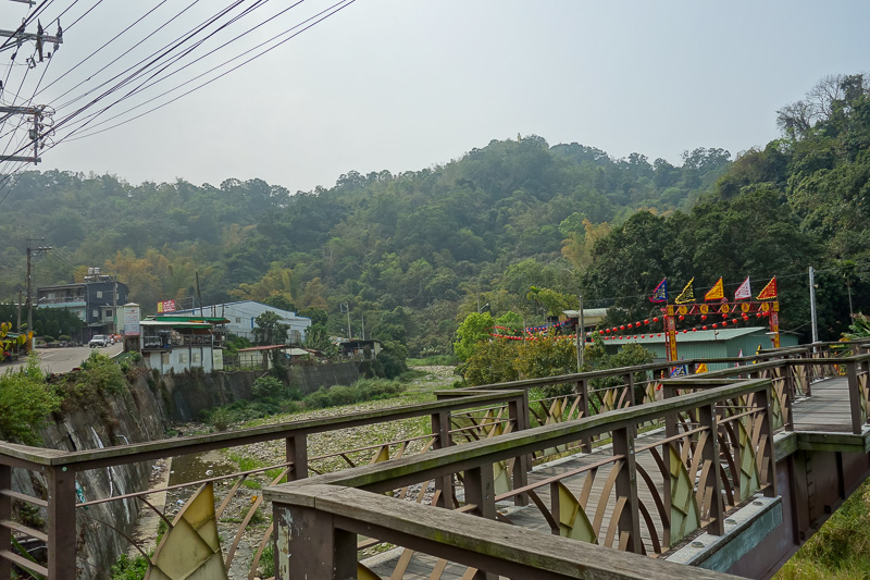
The bus I took goes nowhere near the start of the trail, I had to hike up little laneways up the mountain, poorly signposted. Probably 5km!
There is a minibus that drives a circle route, but it doesnt come often, so I just walked.
It was nice, but some better signs would be good!
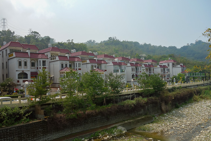
I went past some very rural Chinese looking housing estates such as this. Gated compounds with guards. A long way from any kind of shop.
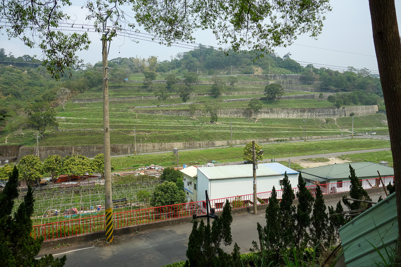
The walk to the start of the climb also went past various farming areas.
People going past me on scooters stopped to look at me from a safe distance, yes I was lost, but I didnt care. I knew how to re trace my steps if I decided I was too lost.
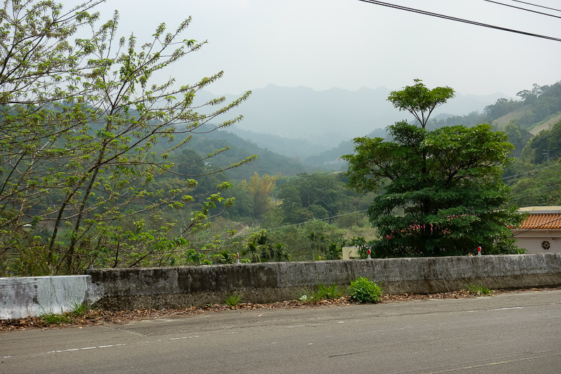
Presumably (turned out to be correct) I am heading up there. It still seems a long way away!
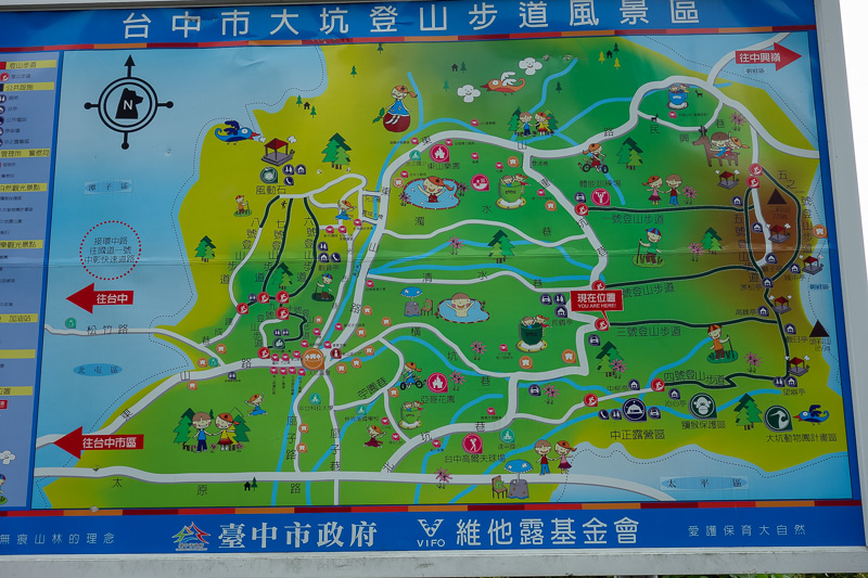
Eventually I got to this map. It even has an English you are here. Except even this was frustrating, the start of the trail was not where the map is, it was a few hundred metres up the road.
Before knowing that, I walked the perimeter of the car park where the map is twice looking for where the hell I should be.
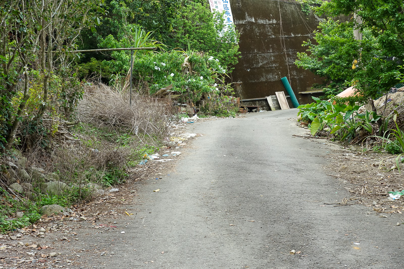
And then apparently this is what I came here for. A bitumen road with scooters on it, littered with rubbish.
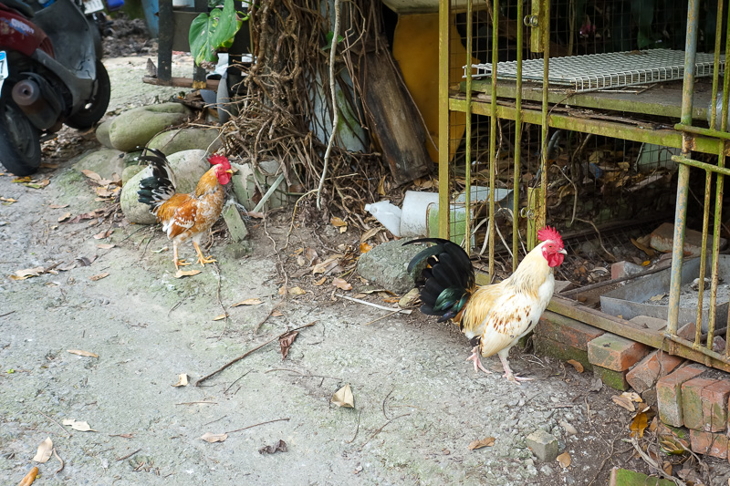
And a lot of chickens to give me bird flu.
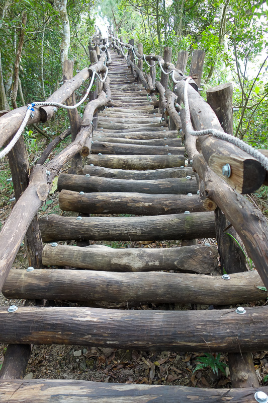
After an uninspiring 20 minutes or so I got to this. And was excited. I thought this ladder thing would be used on and off where needed.
No, 95% of the entire walk, at least 3 hours, is this. It was hard work walking over this! Takes full concentration as described above.
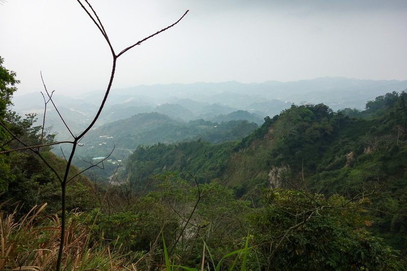
Somewhere about half way up the route I took up to the ridge. A shame about the smog. I suspect the smog is permanent.
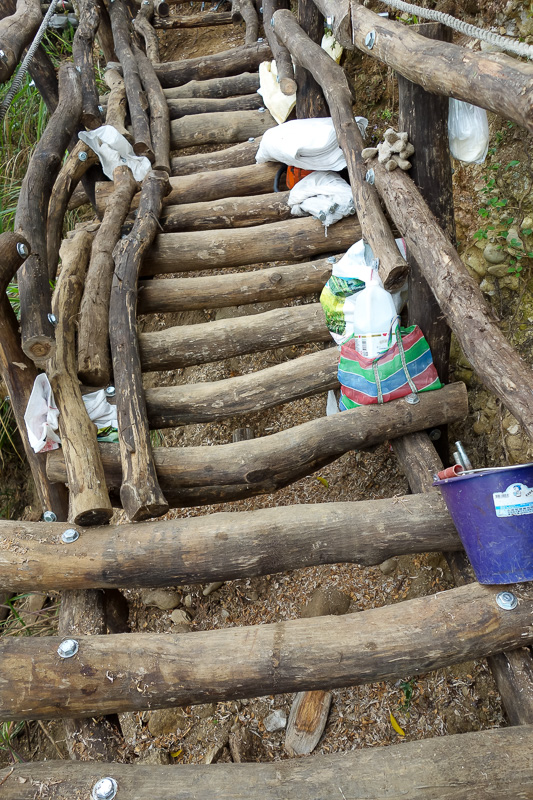
Part of the pine log ladder being replaced. The work team had water. I should have asked them for some!
Actually there were big plastic bottles of water left along the path, but I wasnt about to drink that unless I seriously was worried about dying. Who knows where it came from.
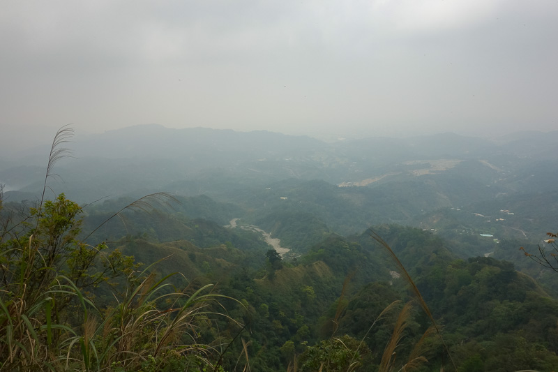
The view from the top is, hard to photograph with any kind of detail.
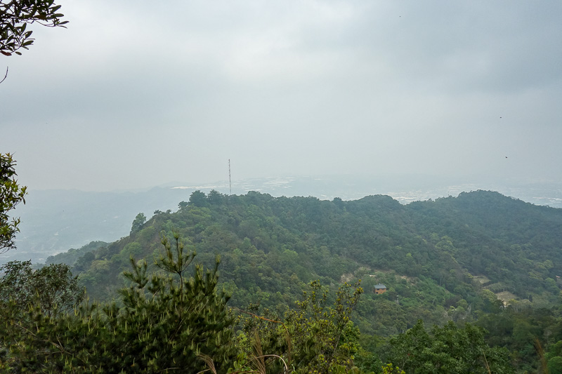
Across to one of the other ridges. It seems the far side of the mountain is less dramatically steep, with some kind of track and a few shelters.
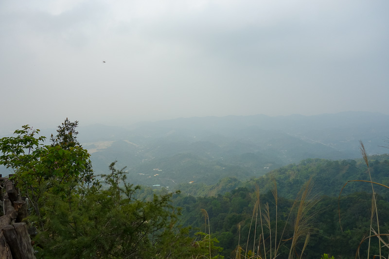
More view.
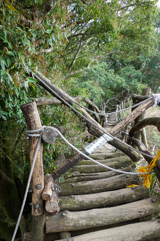
This is one of the sections where the path was too dangerous to use. So instead you lower yourself on ropes and around it, in the jungle.
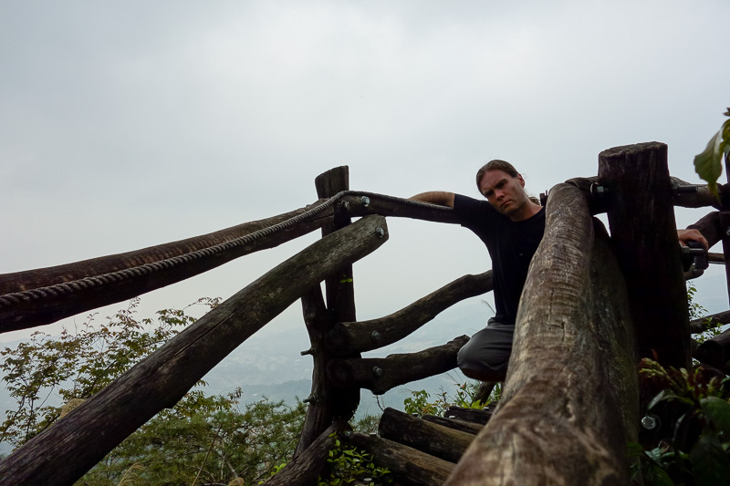
This is about the best I could do for a photo of me near the top.
Trademark stance failure.
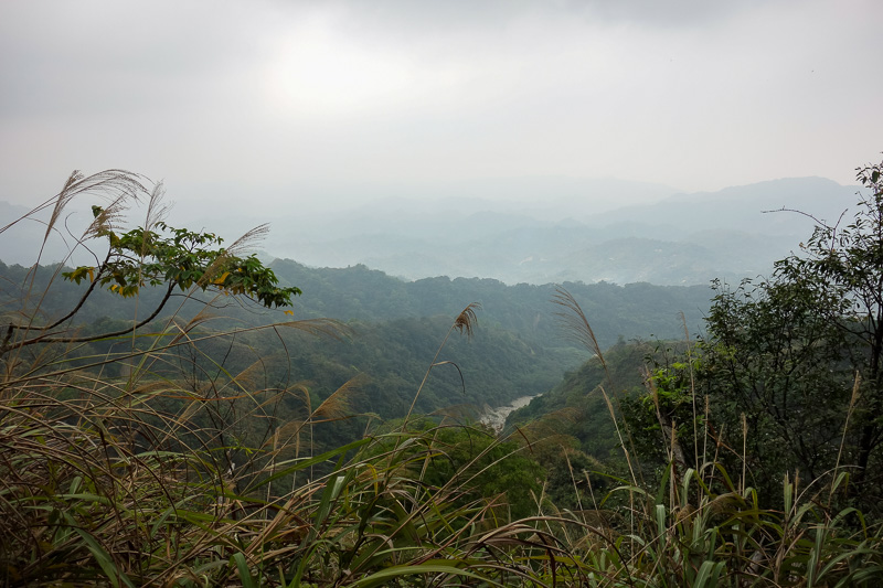
I knew I was heading down, but I elected to choose a different track down. Good plan as it was better maintained, although still log ladder.
The only issue is I didnt know exactly where it went down to.
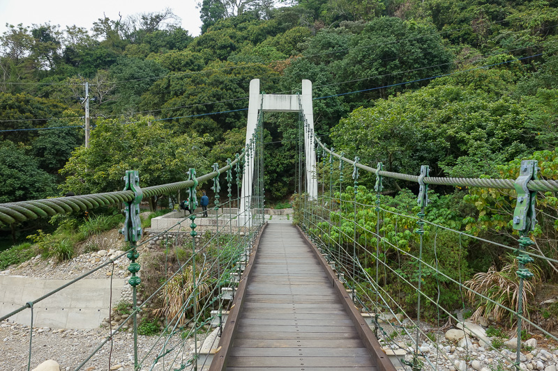
After an exhausting adventure, I made it to a swing bridge to freedom.
There were a few people at the top, but I suspect they came up from the other side. I only passed 4 people going up or down in the many hours I was climbing on ladders.
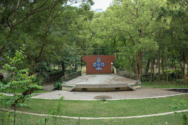
However, being off the trail and back on roads doesnt mean I am back on a bus yet.
First I passed a number of abandoned looking camping grounds, including this scout one.
My dream of a vending machine didnt materialize.
There were some public toilets with taps, but you arent supposed to drink Taiwan tap water!
The scout camp centre had a big hall thing, with painted murals of naked children frolicing with tigers, which was a little concerning. I couldnt get a decent photo through the window and some gardner guy was watching me from afar.

The mini bus came past as I was wandering back towards the village. Good timing. Once I got back to the village I raced into the Family Mart for pocari sweat, the best apple I ever ate, pre cut to be man friendly, and some Hello Panda.
I then bought a second drink.
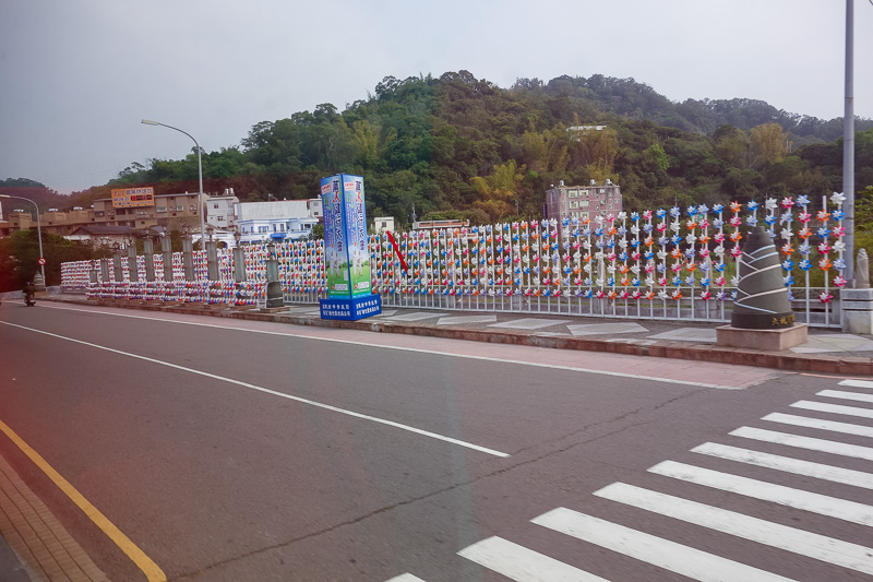
Finally back on a regular bus back to Taichung. The mountain village has these paper windmills everywhere. Its a clue as to where to get off if you ever catch bus 1, 21 or 31 out of Taichung in hope of finding Dakeng.