20 April 2024
I had the foggiest
Yangpyeong over Yongmunsan to the temple again
Well, I got wet and it took a really long time, but I had a great time frolicking in the fog.
Now for the stats.
19.7km
35k steps
2762 calories
4071ml sweat loss
And the big one - 7 hours and 37 minutes.
That is a long time for that distance.
Getting from Yangpyeong to the start of the hiking trail was not as easy as last time. I decided to follow a map from alltrails. This took me along a trail that no longer exists. So my top tip, follow the road to the Yongmunsan national forest parking lot.
At first there was no rain, then there was some rain, then a lot, then less, then fog, then I could no longer tell if it was raining or not but everything was very wet, except my feet! Amazingly despite not having waterproof shoes, my feet never got wet.
Also, and I remembered this from the last time I was here, there were rocks, all day rocks, 7+ hours of rocks.
OK, it is time to describe too many foggy photos.
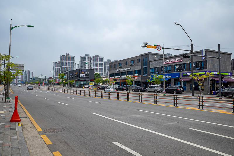
Yangpyeong is a pretty large town, with many convenience stores on the walk up to the start of the hike. I have done this hike before so I was somewhat familiar, but decided to go up to the start of the trail a different way, which failed.
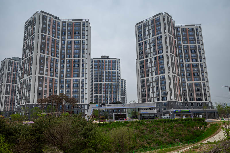
The suggested route goes through forest right about here. No more forest. Now it is apartments.
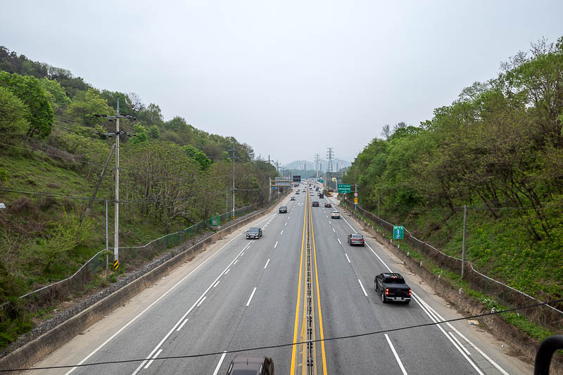
I had to climb up a retaining wall and get back onto this bridge over a highway. I was already running behind schedule!
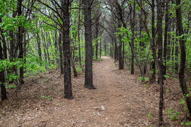
I found a bit of the fail trail to the real trail and thought I was back on course.
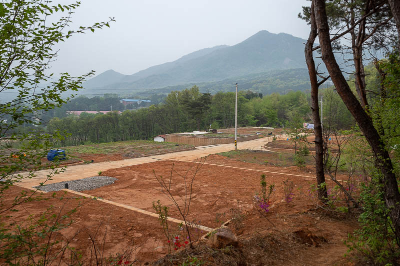
But no. More development has ended the trail again.
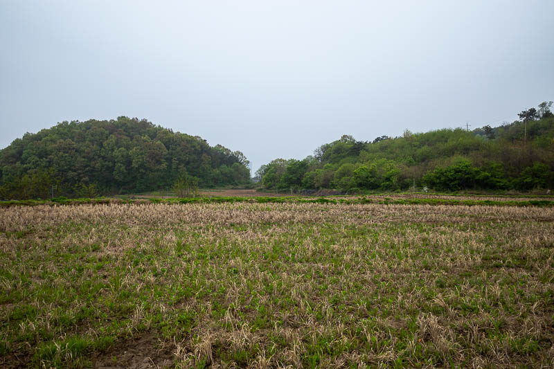
I cut across a farm and rejoined the road instead. I should have taken the road to the trail proper.
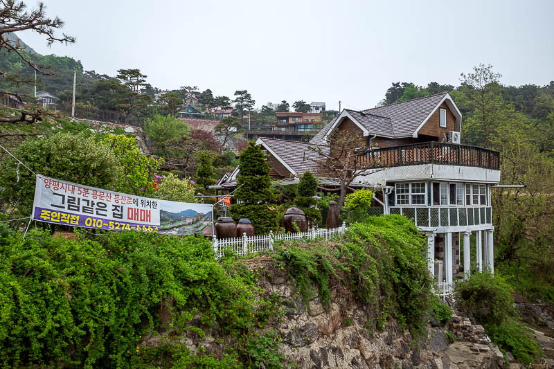
The road up to Yongmunsan national forest park is filled with fancy cafes and bakeries.
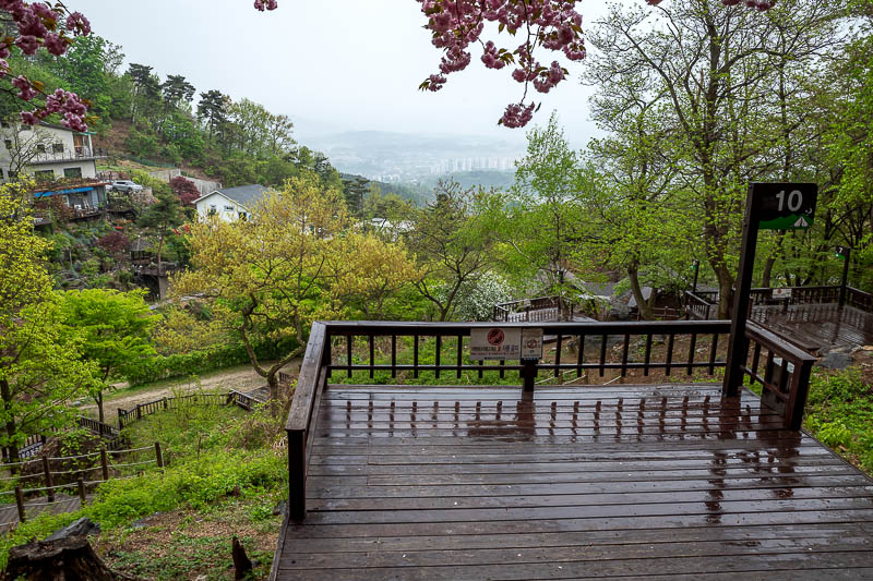
It had started raining. This is a camping spot. The start of the trail goes through the camping areas of the national forest. There were a few people packing up their tents, fast, as it was starting to rain.
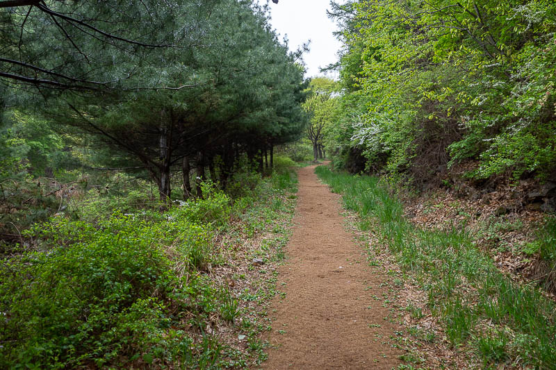
I kept running (I was running at this point). I remembered that the very start of this hike was a hessian mat filled wonderland. Fast progress.
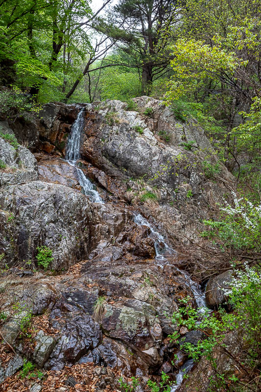
The occasional waterfall was keeping me company.
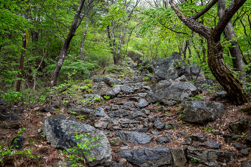
Soon enough, rocks. At first a rocky stair case. There were a few other people around at this point, you will see where that ends.
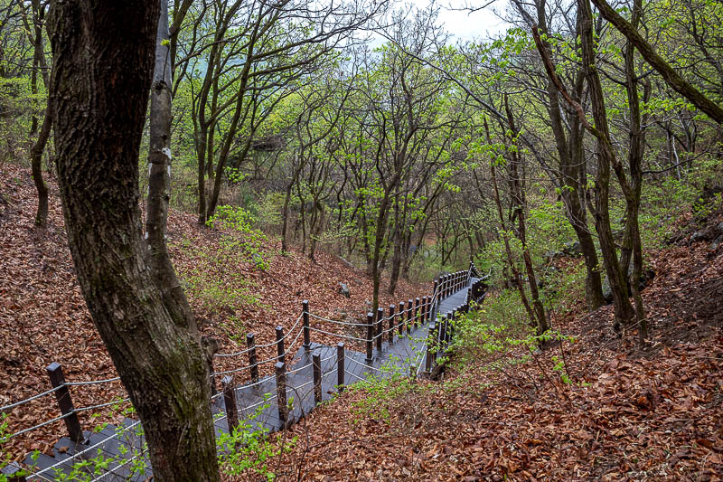
On the way up, some of the steeper parts were a proper staircase. Useful for fast progress! I was going so well at this point!
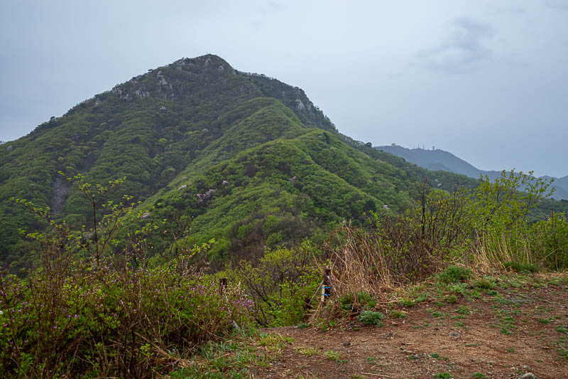
I will be going up there, but it will not be the main peak. The main peak is 4 hours away.
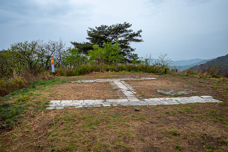
Today's helicopter landing pad. Due to rain there will be no stance or selfies today. I spent all day worrying that I would get water on my camera lense, or water in my camera that would kill it.
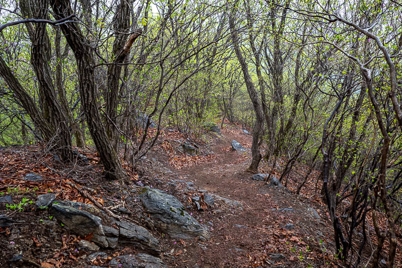
A rare smooth bit. I was mindful to run any such smooth sections.
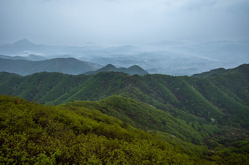
I had already come quite a long way at this point. My progress will slow soon...
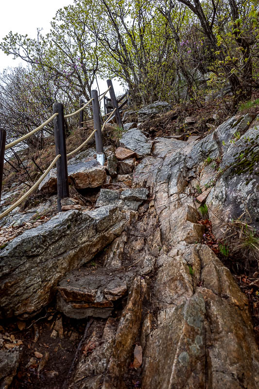
Rocks. Steep slippery rocks. I spent the next 5 or so hours hanging onto ropes.
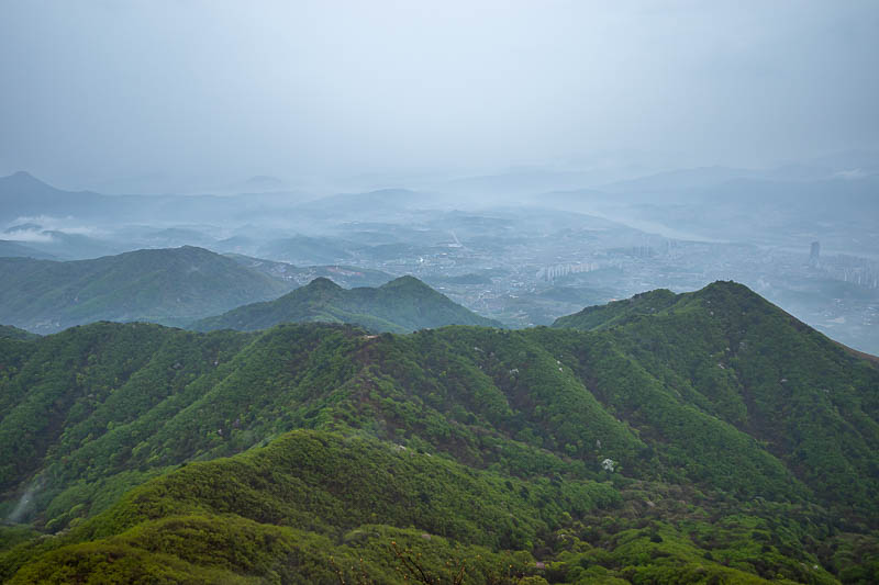
Another view of foggy valley's.
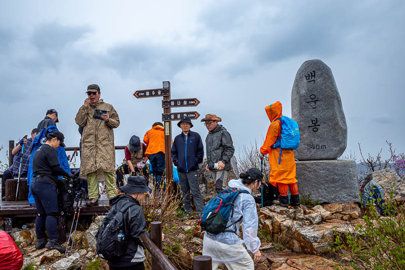
Here is summit #1. And this is the point where the developed trail ends, and where people turn around and go back. I will continue on to another peak across a very lonely, very rocky section of trail.
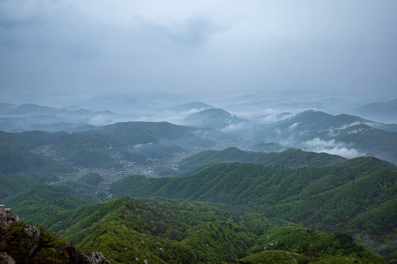
Some view from the summit.
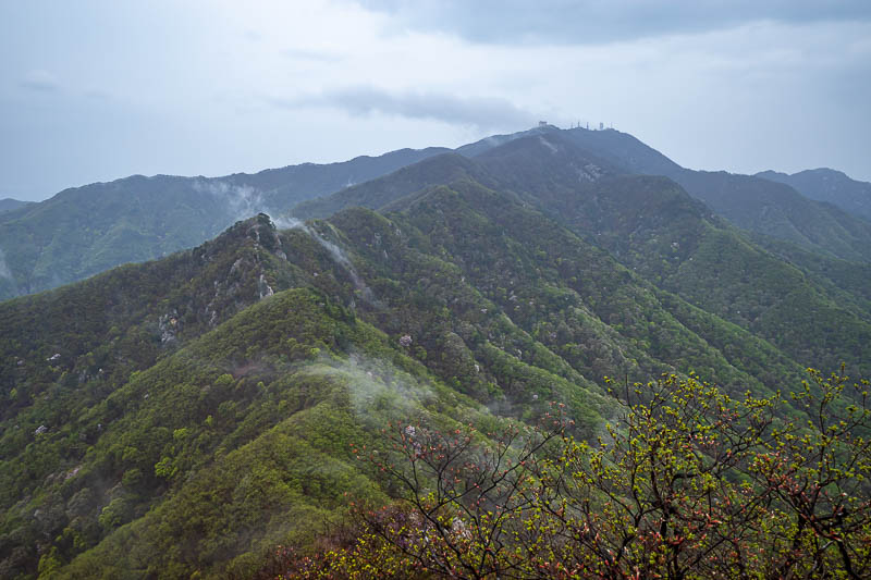
This is the direction I will go. You can see some antennas in the distance, that is the highest peak, and a military base.
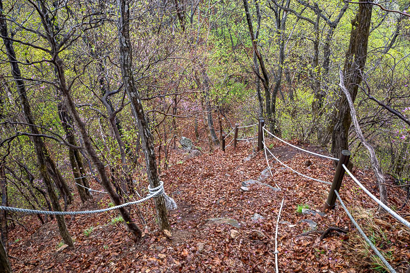
Steep and rocks covered with piles of leaves.
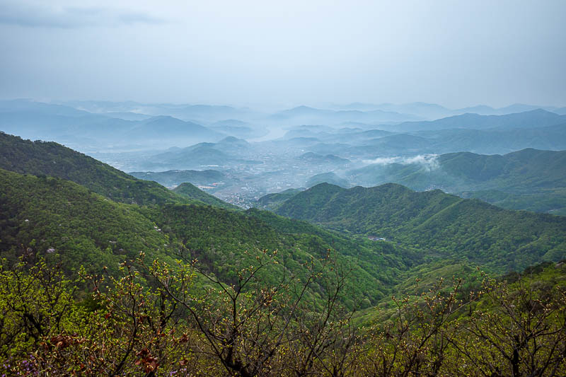
Bonus fog shot.
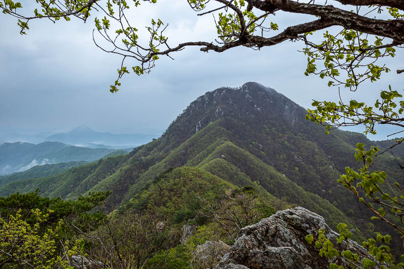
That is summit #1 which I had come down from.
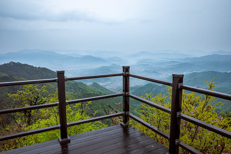
A rare wooden viewing deck.
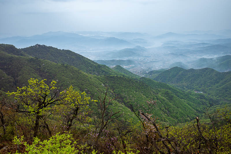
I kind of like the foggy shots, so why not more.
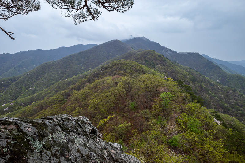
I think that is where the antennas were earlier, but now it is cloud.
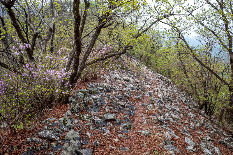
The really rocky sections I did not photograph, because I needed both hands and it was wet. But every now and then a nice section like this appeared.
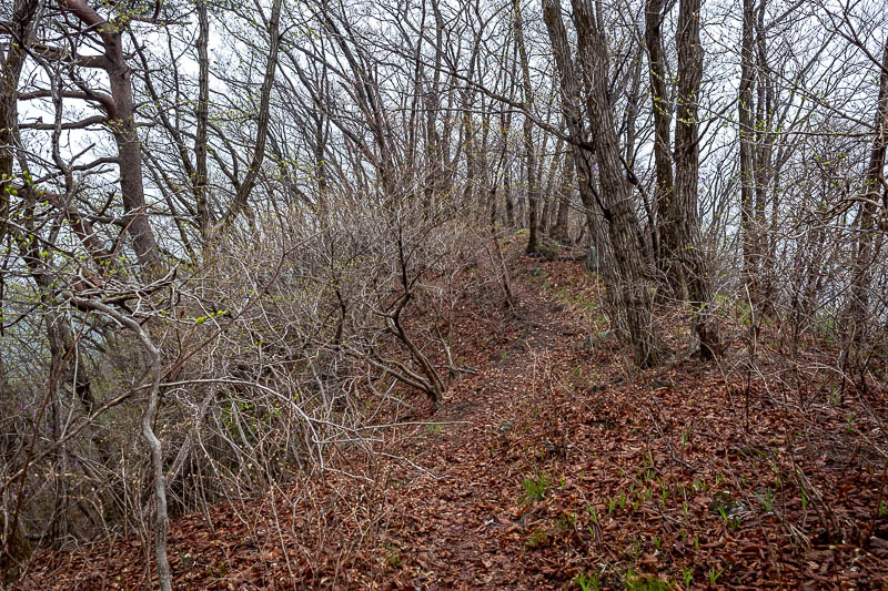
Between peaks, and it was the return of the nuclear winter dead looking trees.
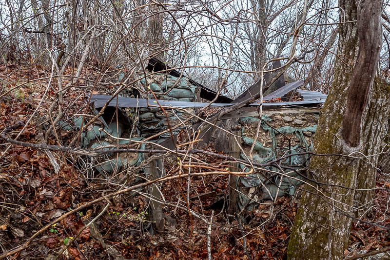
I could maybe camp out here if it rains too much.
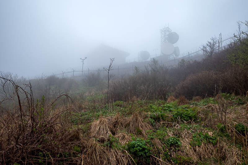
Here is the military base. I will have to hike below the top around and up the other side to get to the summit.
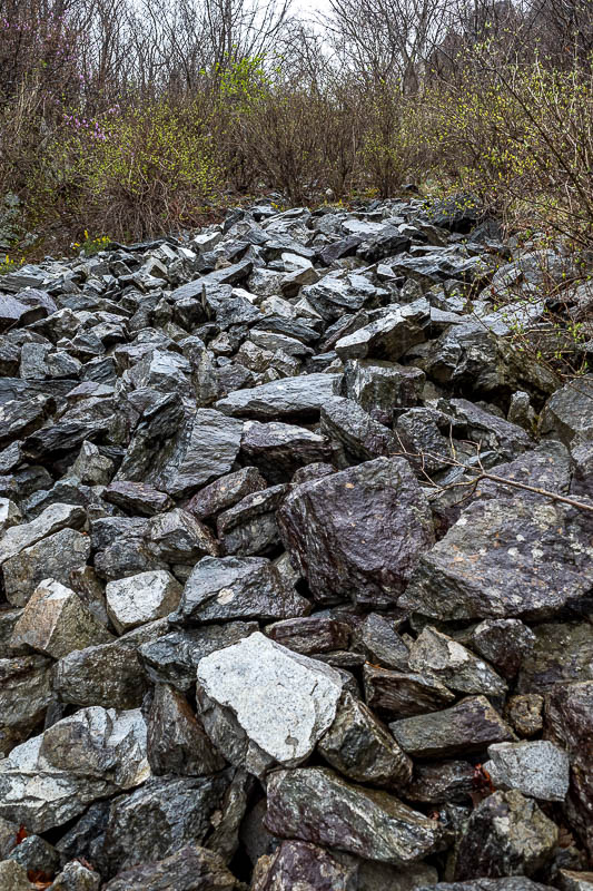
This involved crossing a sea of boulders.
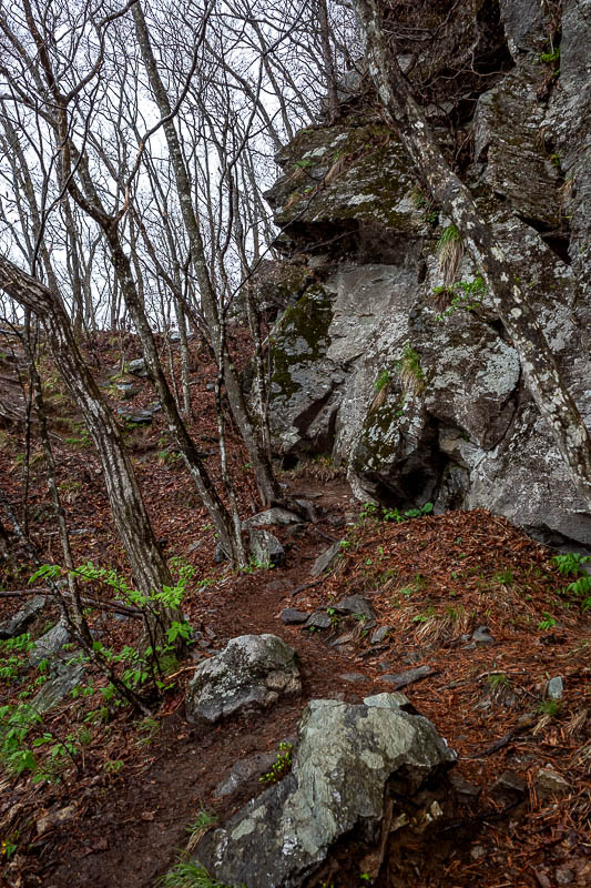
Bigger rocks were starting to appear.
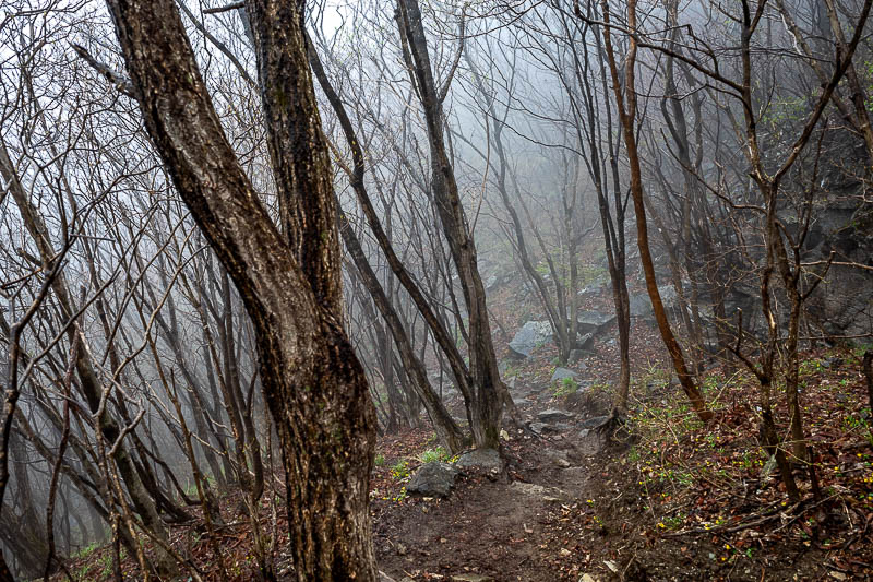
And now, the fog. A lot of fog.
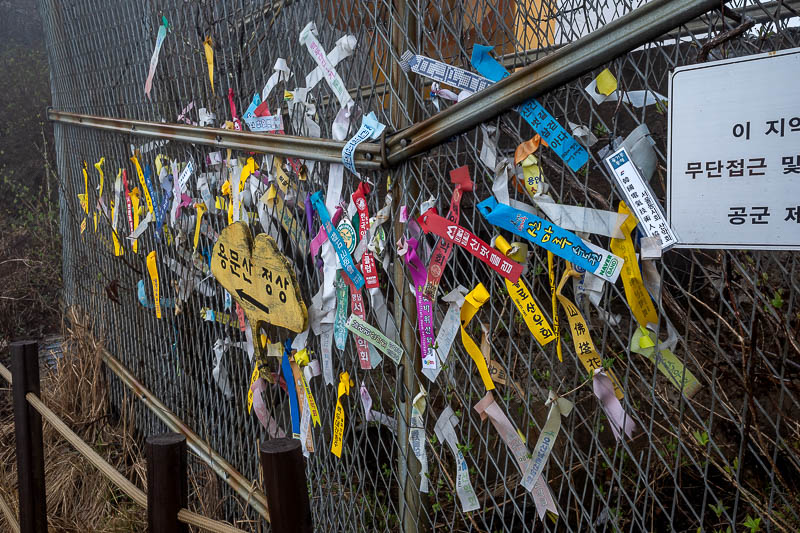
The summit was completely fogged off. Here are some ribbons from the local hiking clubs.
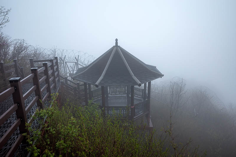
There are a lot of barbed wire fences, but they still managed to stick a pagoda up here. It was very windy on the summit so I did not want to hang around.
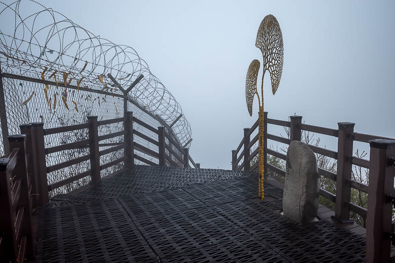
This is the actual summit marker. You can see it in better weather if you search my website for Yongmunsan to find my previous visit.
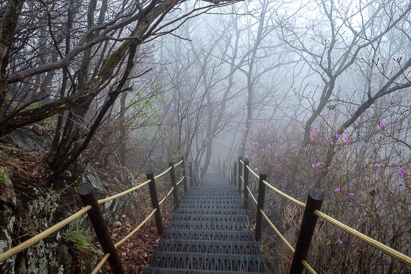
The immediate bit down from the summit was a staircase, this will end very shortly.
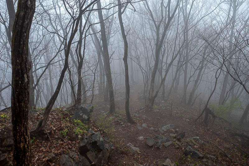
I was in fog like this for probably 2 hours.
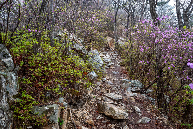
Purple flowers, and rocks.
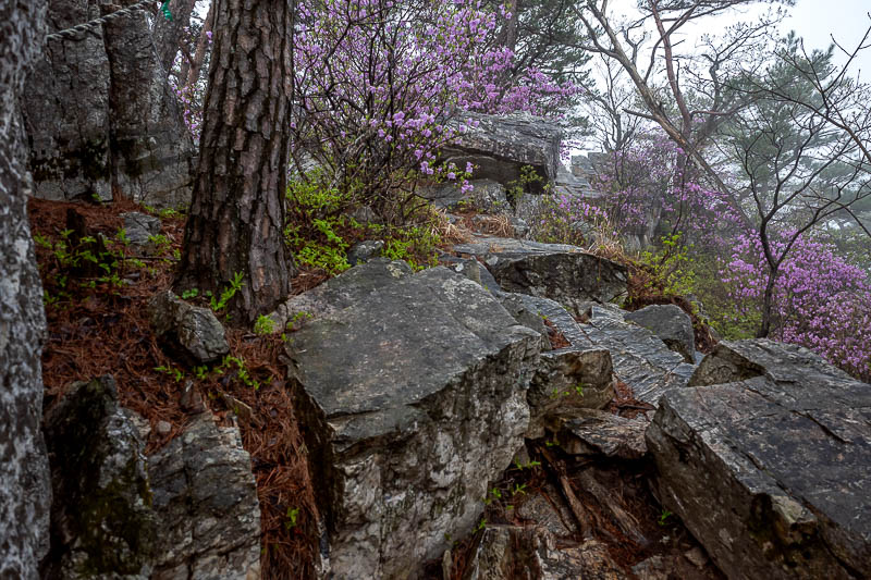
Now the real rocks start. And this would slow my progress considerably.
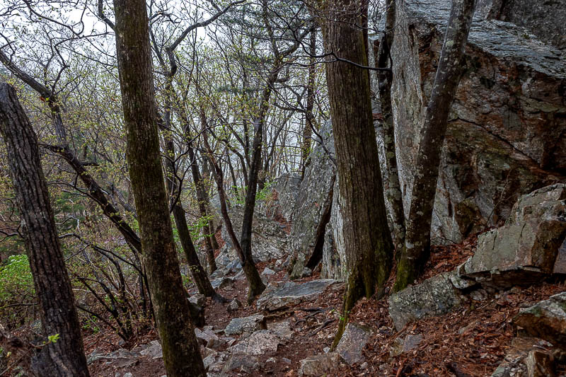
Hard, slippery going, but it gets worse.
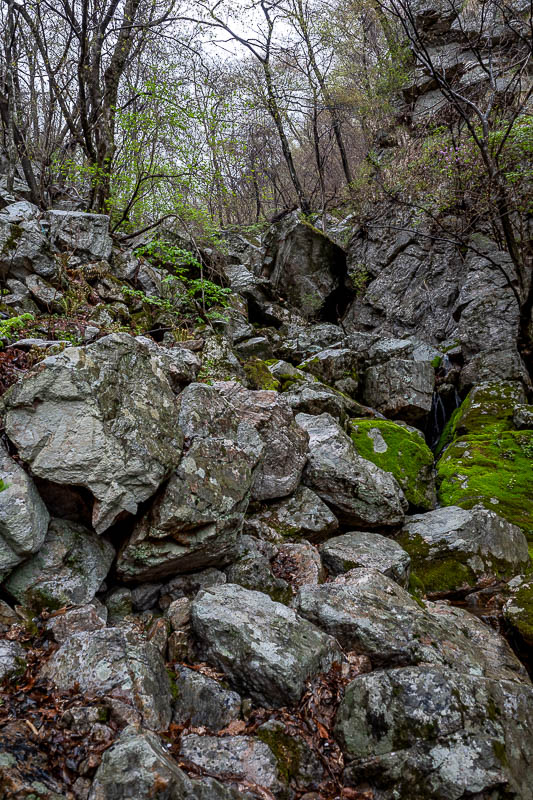
So many rocks.
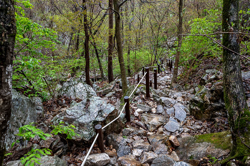
A rare bit of hand wet hand rope. Most of the way down there was none.
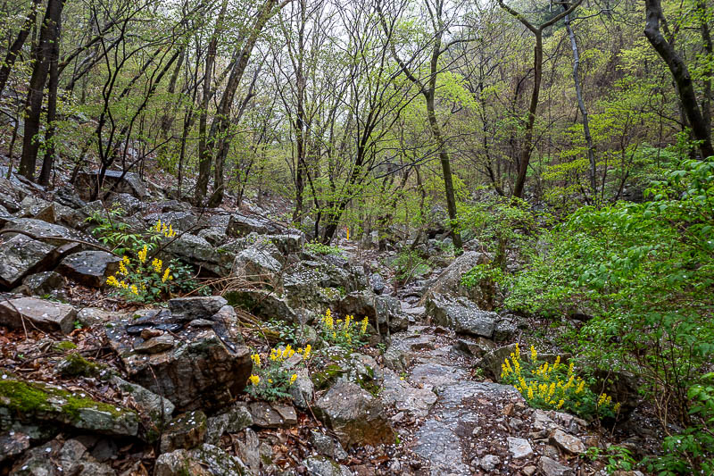
Sometimes flowers grow out of the rocks.
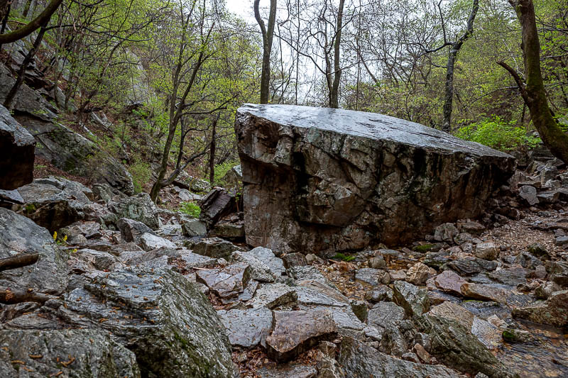
Giant smooth rocks. It kind of looks small here, it is bigger than a car.
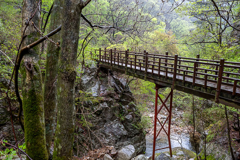
Nearing the end now, and I had to cross a few bridges.
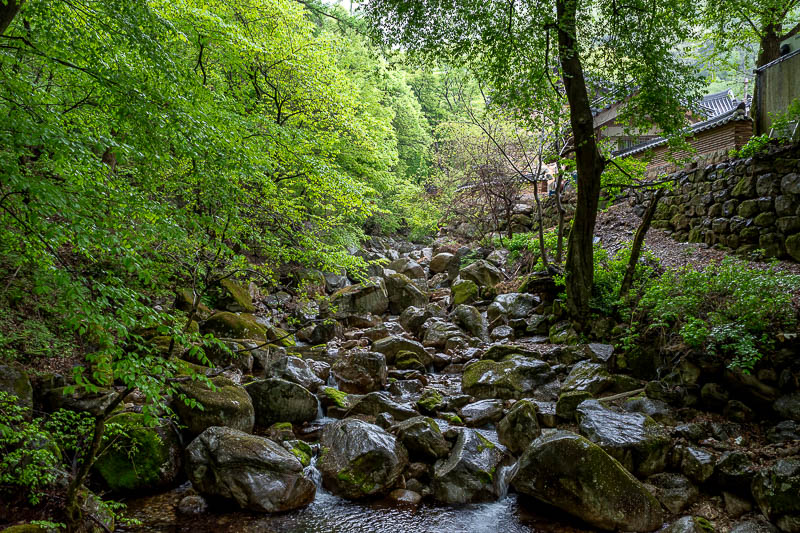
And now I am back at the temple, you can see it on the right. It took me about 1 hours and 20 minutes longer than I expected, largely due to being cautious due to the weather.
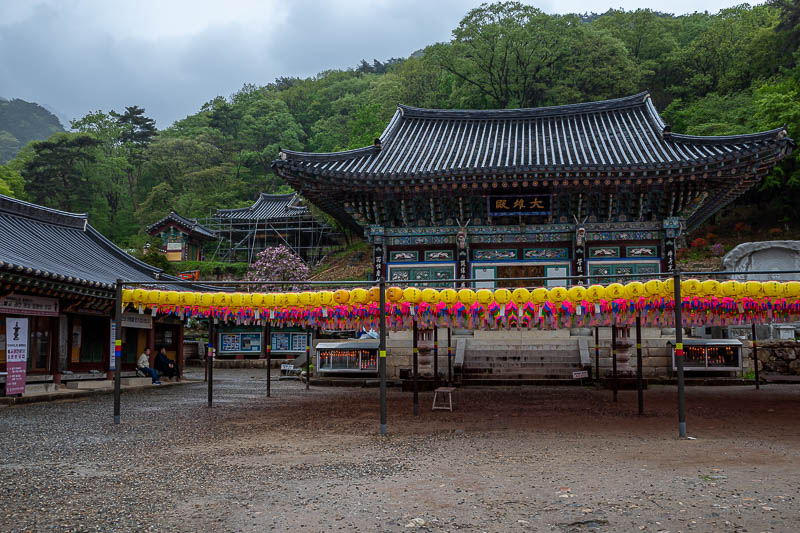
Here is the temple. There were a couple of people around.
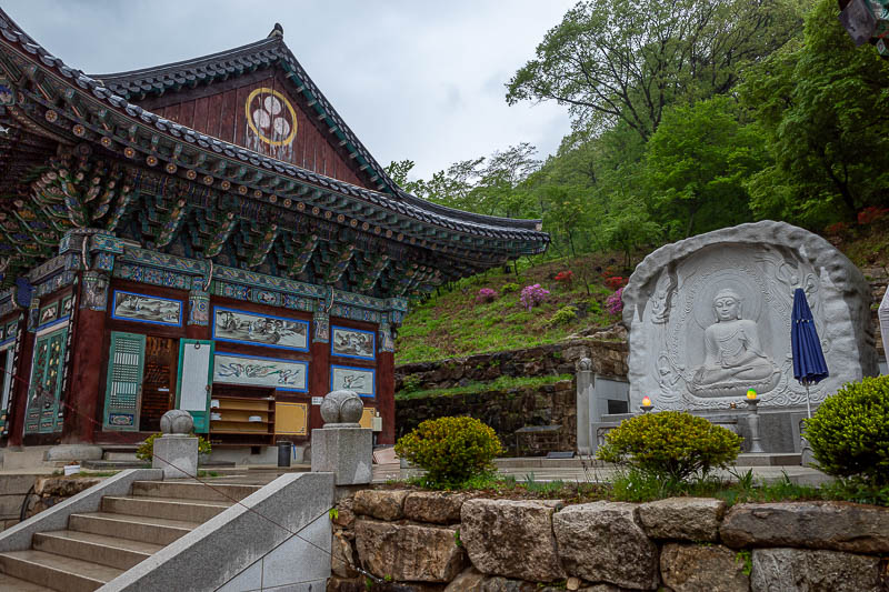
Today's Buddha.
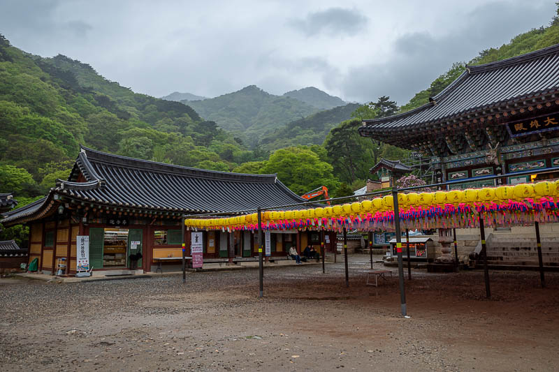
One more of the temple because you can see the mountains in the distance behind it.
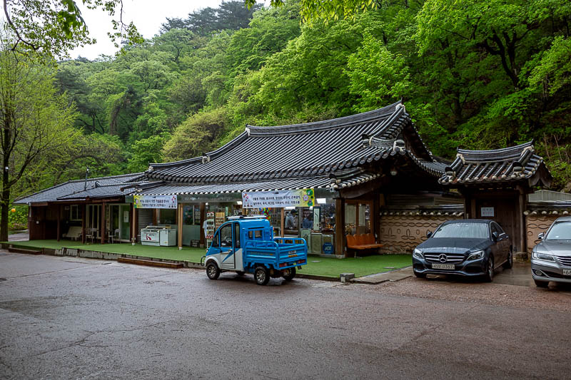
This temple area is large, it is a couple of km down from the temple along a driveway filled with various temple affiliated cafes and shops before you hit a large garden area.
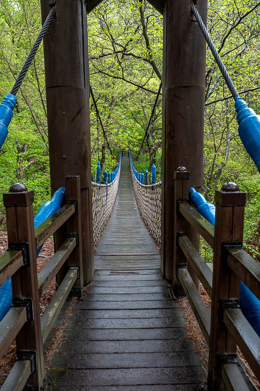
Still more bridges to cross. Some you can jump up and down on.
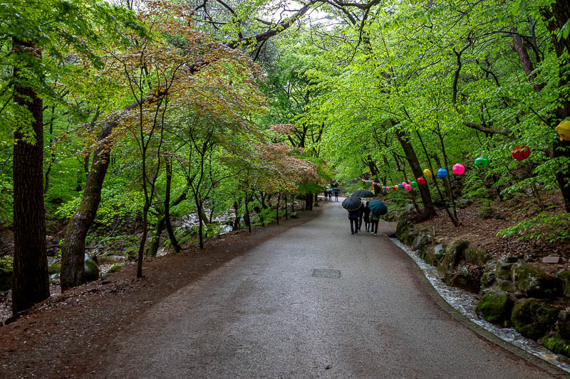
A very nice driveway.
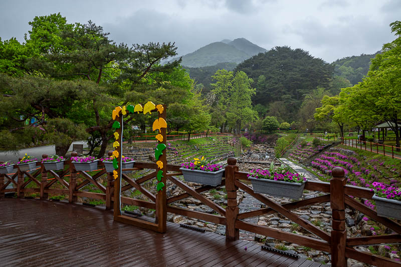
Flowers, and my mountains from today.
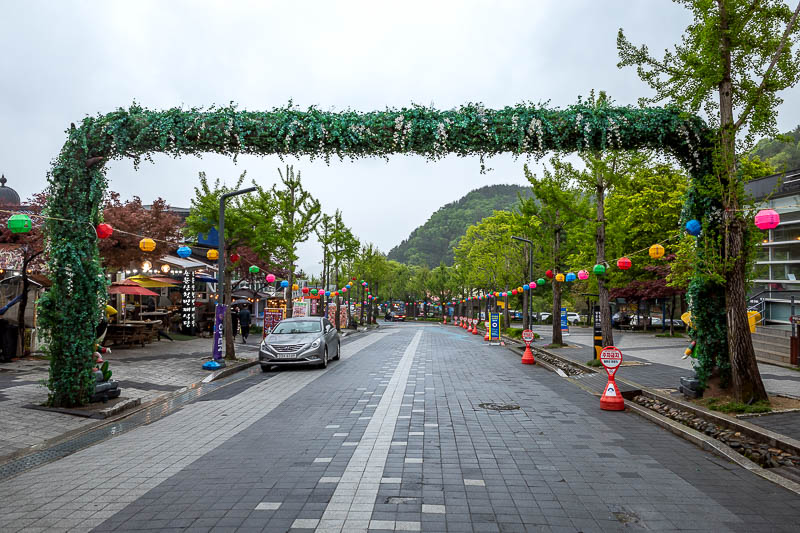
The shopping street at the bottom is very nice. Last time I was here I had an ice cream and played with 3 cats.
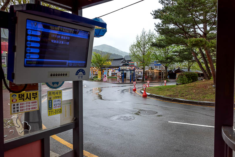
And finally, I am waiting at the bus stop, wondering if I should go to that 7-eleven for a snack. Nope, the bus came almost immediately. It takes about 2 hours to get back to Seoul from here, which makes for a very long day.