24 April 2024
Final hike and deja vu
Buramsan from Hwarangdae to Sanggye station
Last hiking day. I had picked a hike I thought I had never done before. Turns out I was wrong. I could pretend this was not the case, and suggest that for my last hike on this trip I decided to repeat the first hike from my last trip, but that is not true. Korean mountain names have brought me undone. I have a search system and tagging system, so I can check where I have been, but it all comes undone if I label a preivious hike with the wrong name. Checking back to 5 November 2022 and I wrote 'Short hike over Bulamsan from Hwarangdae station to Danggogae station'. Well that was wrong. It is called Buramsan. Or it is now. This bothered me enough to check a few sources. Only google maps seems to refer to it as Bulamsan, and google maps is almost useless for Korea, both Naver and Alltrails refer to is as Buramsan. So that was a long winded explanation.
Anyway, I had deliberately selected a shorter hike for my last one, and that was fortutious because it was raining, and I had to sip a coffee until 10am when it stopped raining right on the predicted schedule and I could start my short 3 hour, 8km hike with amazing views.
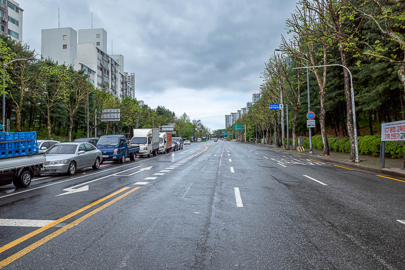
The Korean weather service predicted the rain would stop at 10am. They were exactly right. This road looks strangely familiar...
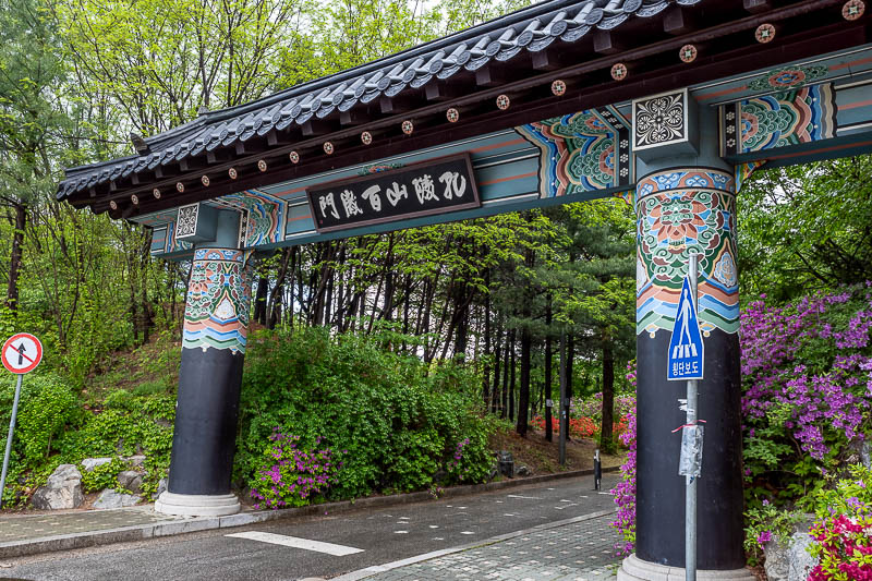
Walking up the road in the above pic, I stopped at a convenience store for my supplies and thought that looked really familiar too, then I got to this gate and realised, hang on, I have done this hike before. I spotted this mountain range a couple of days back, searched for it on my site, could not find it. Refer to the huge rant above for a more thorough explanation as to how that occurred.
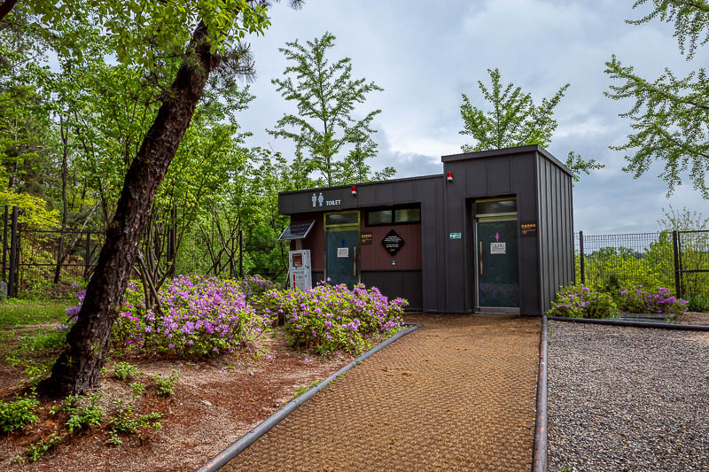
There are a lot of military bases all over this mountain. I heard the rifle range live fire drills going most of the day. Also there are public toilets.
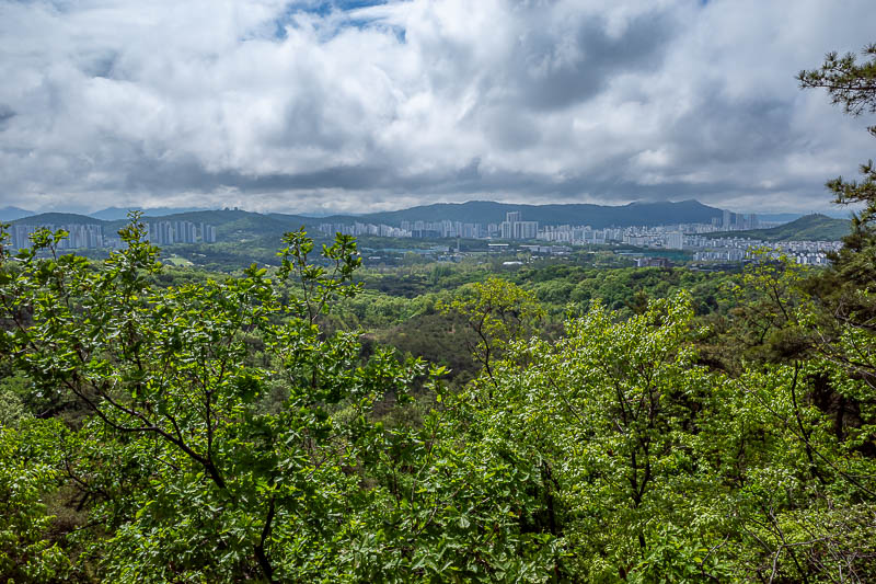
Lets start with a silvery view of still wet leaves and clouds. There will be a lot of view shots today.
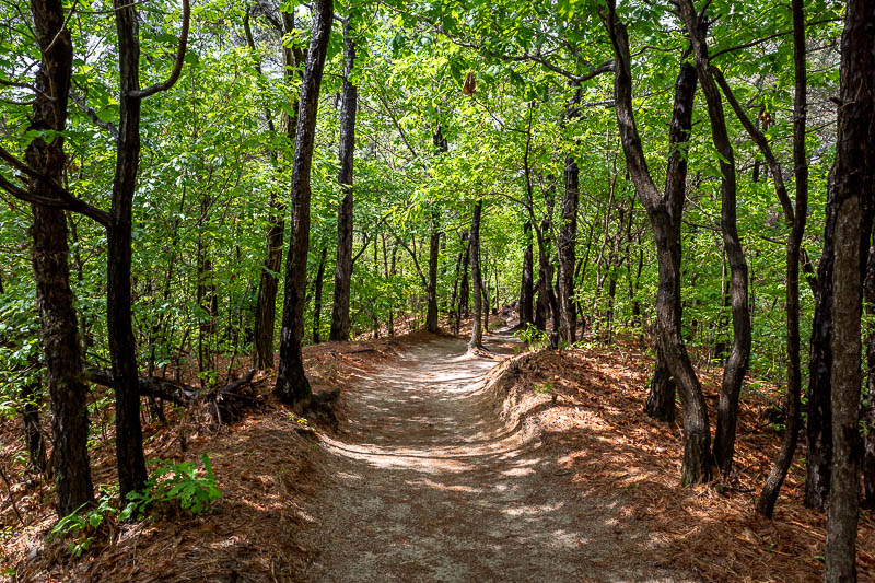
The path was less rocky than most trails. Sandy but not slippery. I think the rain makes sand less slippery.
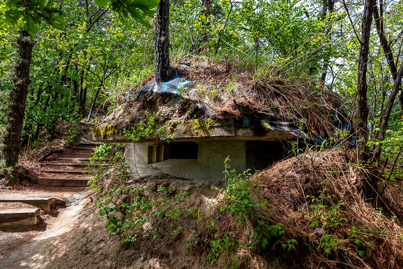
Much of the trail has barbed wire to keep you out of the real military base, but I suspect the whole mountain used to be a base because there are probably 6 or so abandoned pill boxes to hide in.
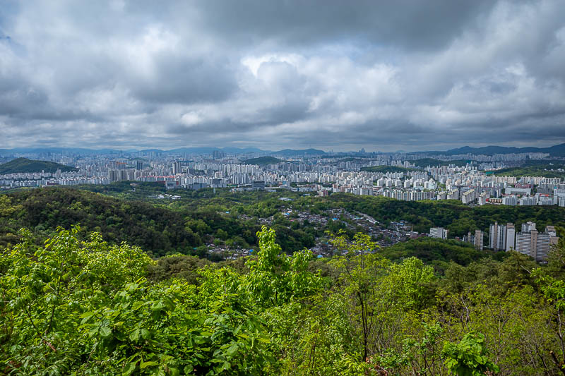
Some more low down view.
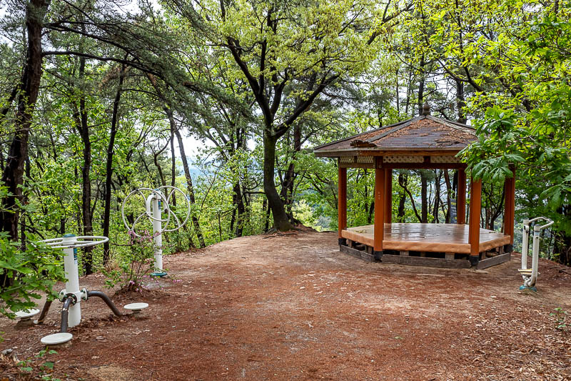
Mid hike, and if you feel like doing the steering wheel exercises, Buramsan has you covered.
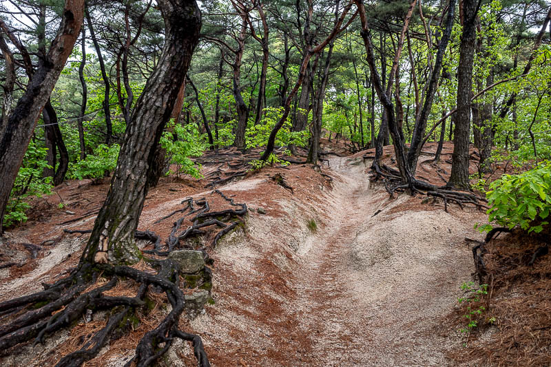
Sand, and trees. Also photo 1000! It has been a few trips since I hit 1000 photos on a trip.
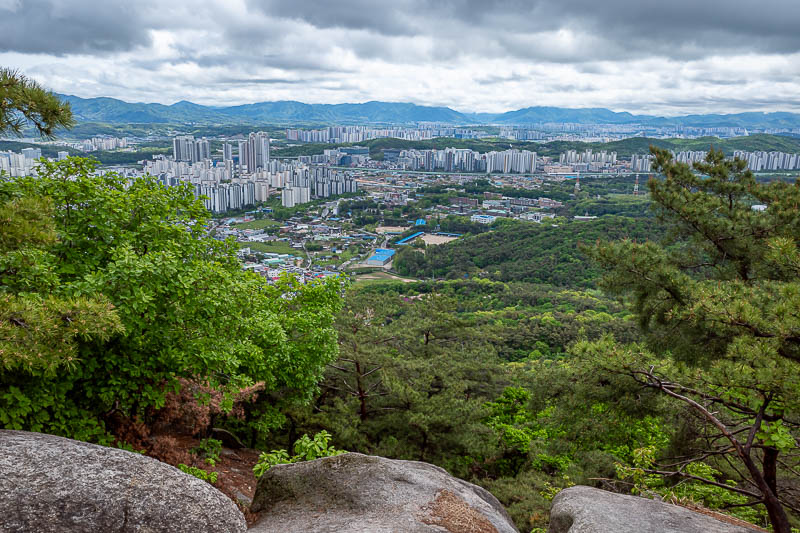
Great clear views today, so I will go overboard, more so than usual.
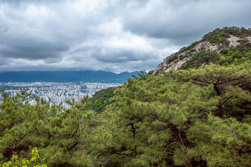
Giant rocky peaks coming up soon.
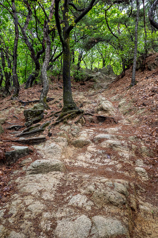
Eventually, all trails become rocky.
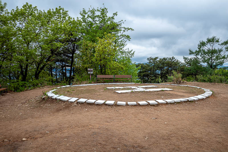
This is today's helicopter landing pad. The last one of this trip. After here you go down a bit before going up to the main peak.
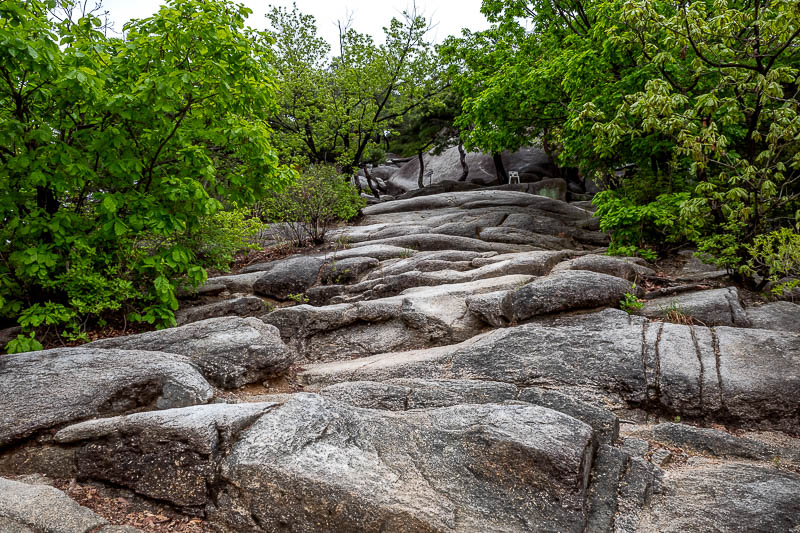
And now the fun starts. Rocks that require concentration to safely ascend. Thankfully not slippery.
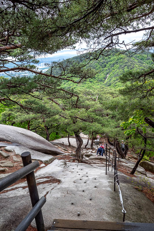
You can see the pins hammered into the rock to assist. Also other people.
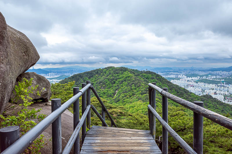
Very near the top now.
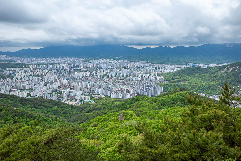
Nice cloud. If you squint and look into the trees you can see a brown mobile phone tower.
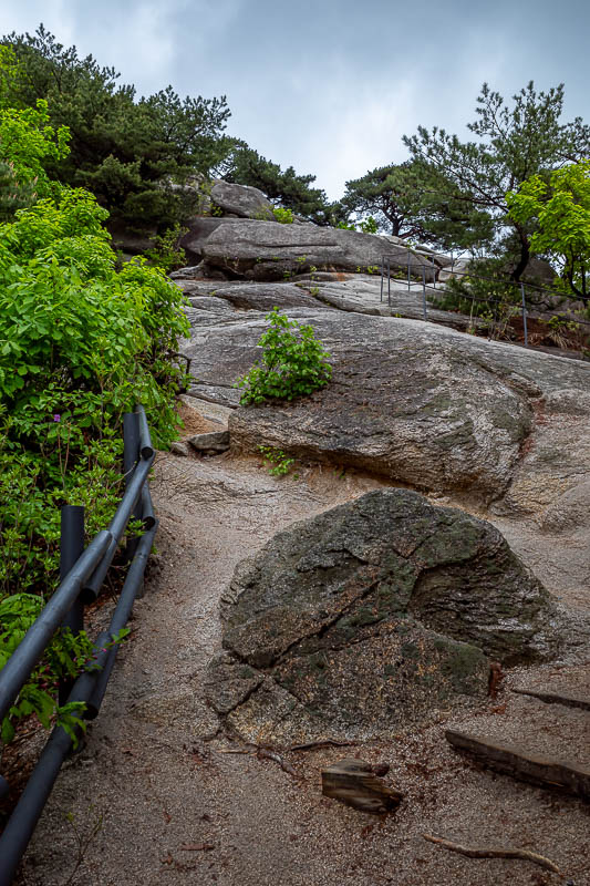
Very steep. Today's hike was probably the most technically challenging of the whole trip.
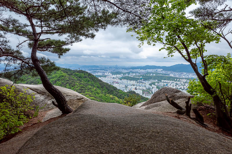
A view with trees and rocks.
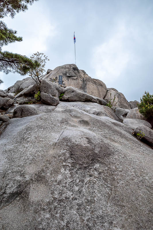
There is the summit, with the Korean flag. BTW, in South Korea, they never refer to it as 'South' Korea, just Korea.
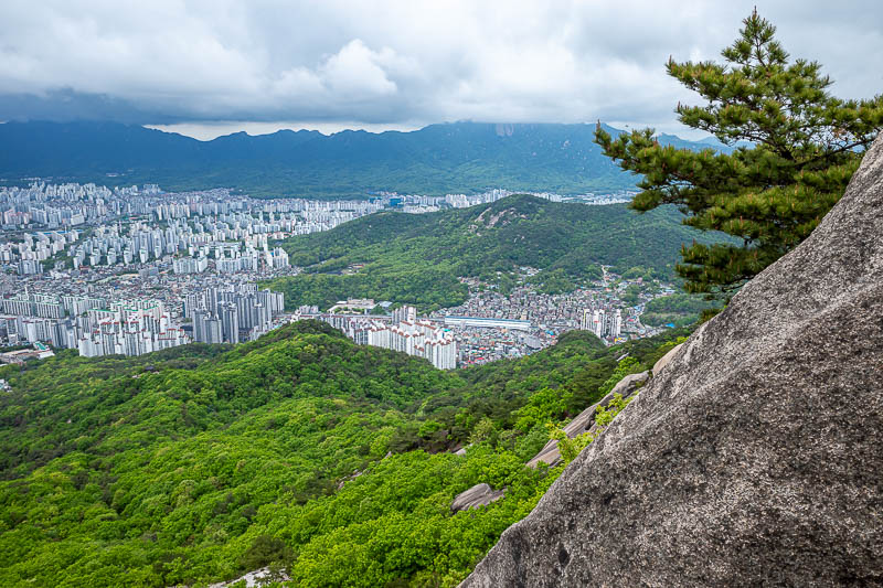
So many great views.
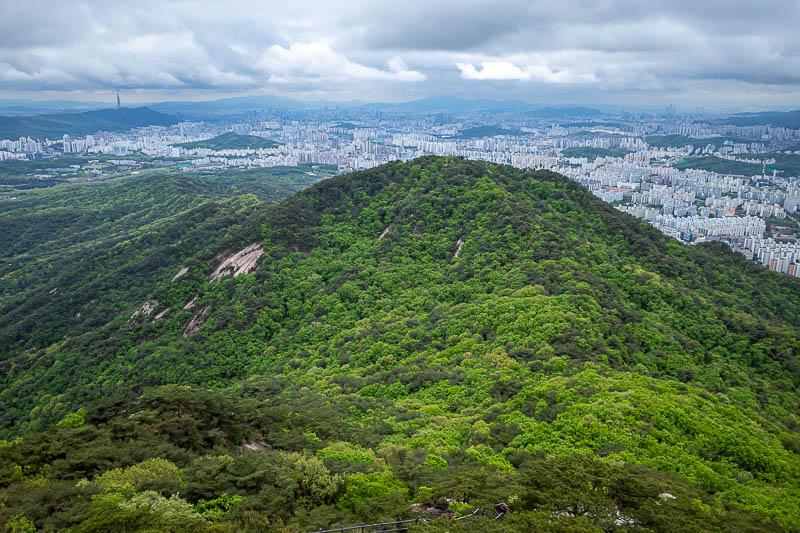
That is the direction from where I had come.
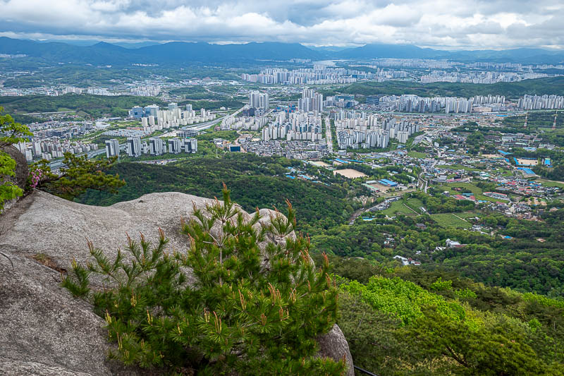
Maybe the best view of the day, so many to choose from.
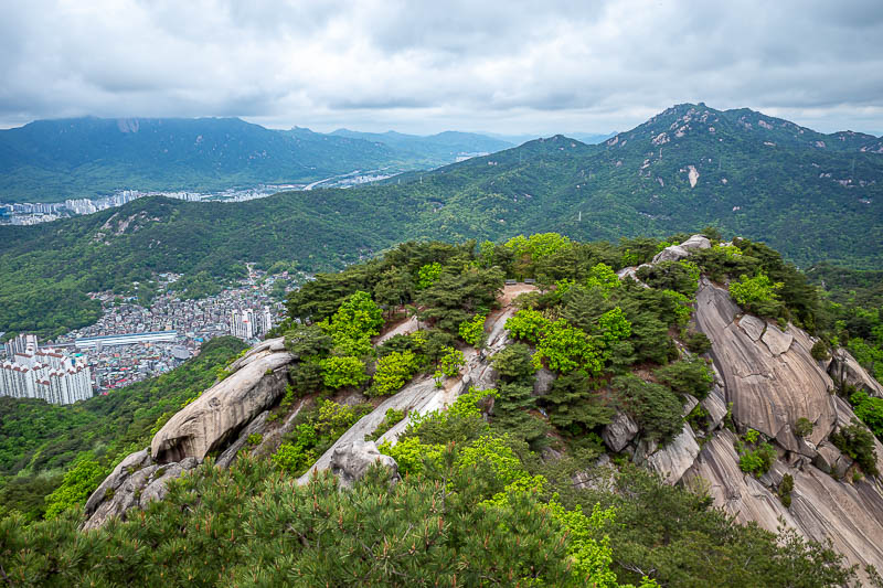
I will now go over all those rocks and then down. There are a lot of ropes and pegs hammered into rocks involved. You can see the train station half way up the left edge of this photo. It is from there that I took a photo of today's hike on my way to my previous hike 2 days ago, when I changed trains at that station.
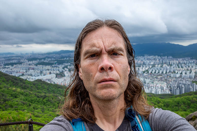
Probably the last selfie. Nowhere was really stance suitable today.
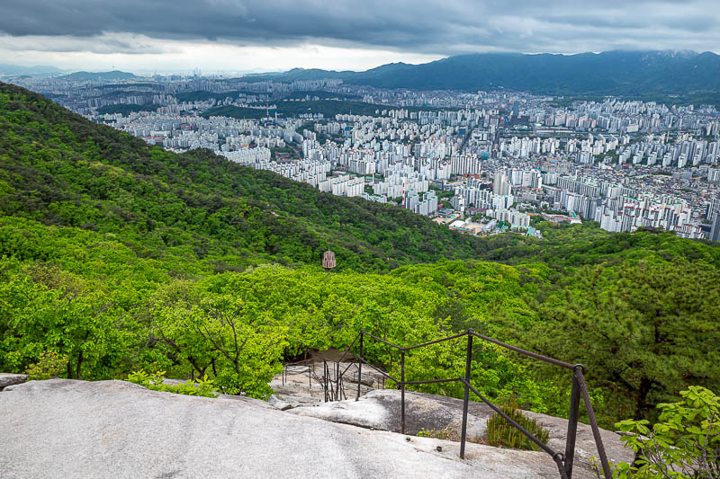
I took a different path down compared to last time. It was rockier. Very fun.
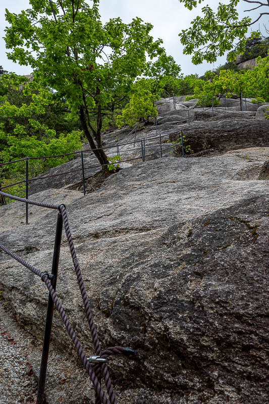
Really very steep. I needed both hands and went down backwards.
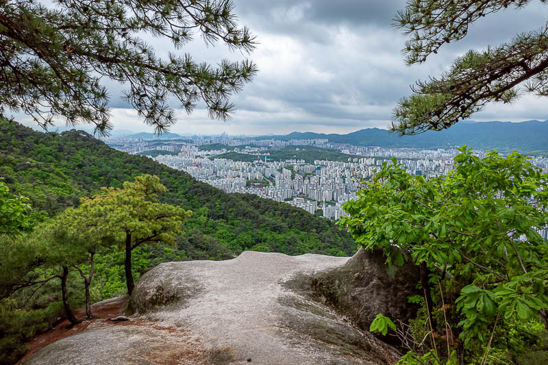
There are still more rocks to appreciate.
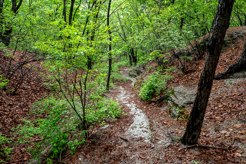
Then the path became very damp for a while.
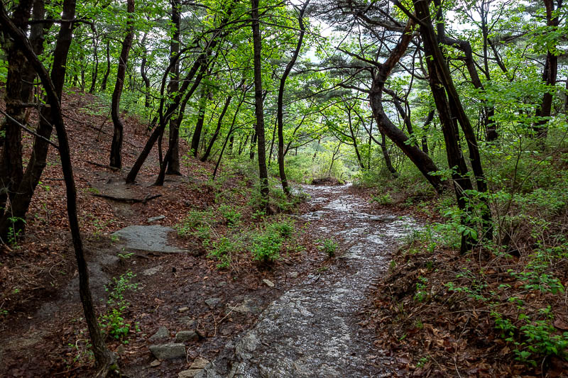
This was really the only slippery part of today's journey.
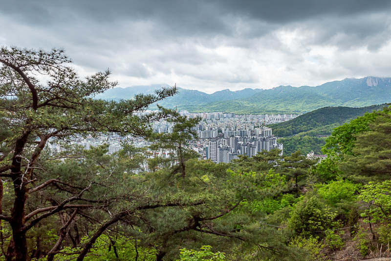
Nice light with the dark clouds and almost sunshine on the distant mountains. I have climbed all those mountains previously, including in the first week of this trip at Suraksan. I just had a look at that post from April 2, and it is amazing how much greener everything is now compared to 22 days ago.
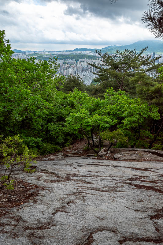
And still more rocks to go down.
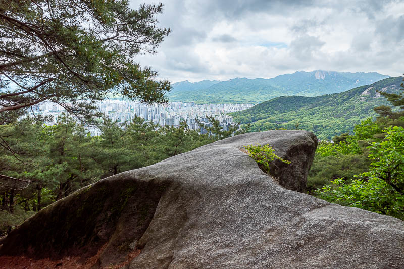
2nd to last view shot of this trip (maybe).
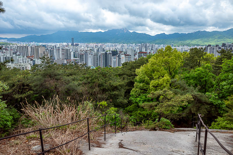
OK, final view shot from a HIKING day of this trip.
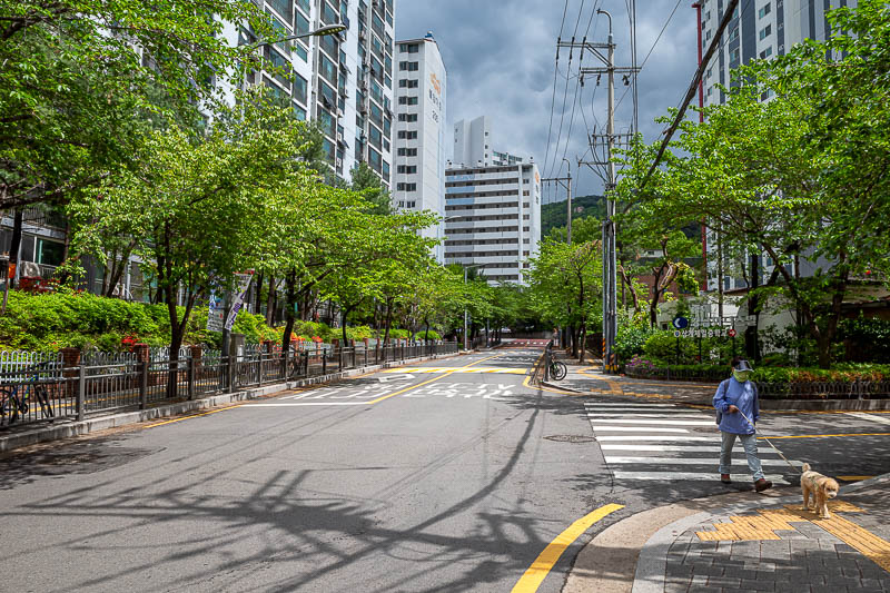
And this is where I exited Buramsan mountain natural park (as I found out it is definitely called). No farms today, just high rises.
No more hiking, sad trombone.