6 June 2022
My moistened path
Hiking over Jangsan from Jangsan station
Before we get into it, just now on the TV behind me in my hotel room was an ad for a new robot. It is about 3 feet high, and on a base similar to a Roomba vacuum. The AI recognises your baby, complete with terminator style infra red targeting graphic. The robot then follows your baby around the house, spraying disinfectant. COVID and everything else then dies and vanishes, and your baby is very happy and full of bug poison. No one will heed my warnings about robots.
Now for the hike.
No rain (this morning), no pollution! Yesterdays rain put out all the idiot farmers crop fires. I am convinced that is what 90% of the visible pollution in Asia is and no one will prove me wrong.
It was forecast to rain again lightly in the afternoon, but I thought I would like to avoid that, so I set off extra early for a smaller hike. It sets off from the last station on the green line, Jangsan, and the hiking park and peaks are all called Jangsan.
It was very slippery only occasionally, I was prepared to slide on my ass but never did. There were other people (it is a holiday today) but it was not ridiculous. I got lost 3 times but only in a minor way, although one time I ended up in a homeless person camp of sorts made of sheets of iron and tents with dogs chained up going crazy!
As you will see, the view from the top was not allowed, Army. But still, probably the best clear view from a summit on this holiday yet.
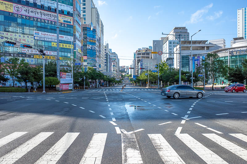
Blue sky. The area around Jangsan station is all new and shiny.
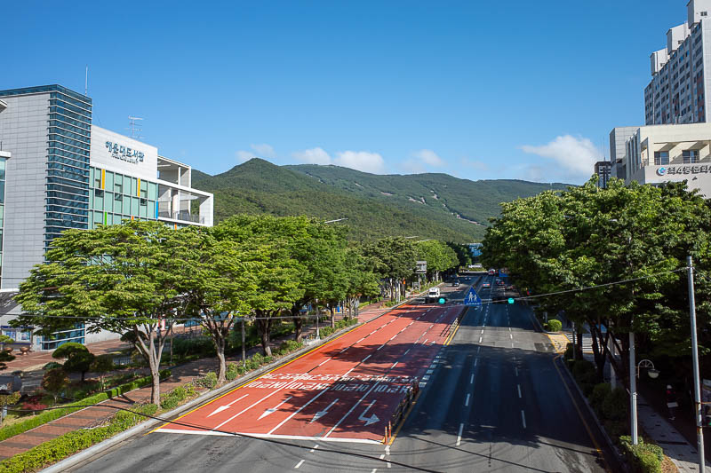
I was going up there today, and beyond. Looks quite small.
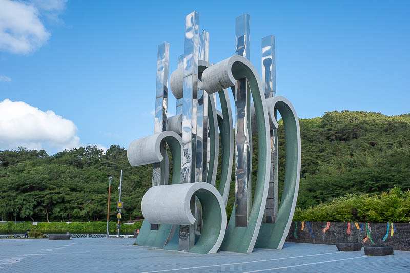
The park at the base of the mountain park was full of people, sculptures, waterfalls, restaurants, the usual.
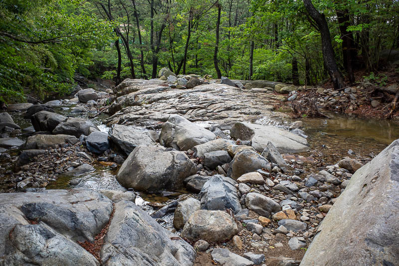
Even before hitting the trail there are nice areas to see.
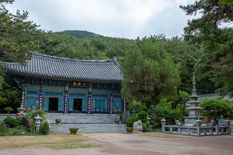
The usual start of hike temple. Stay tuned for end of hike temple. Cloud rolling in!
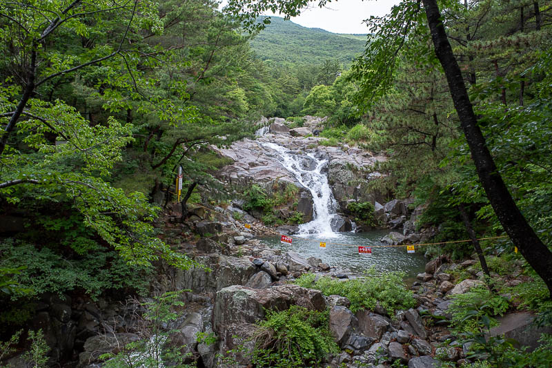
This qualifies as a waterfall in Korea. Complete with flags warning you not to swim in it.
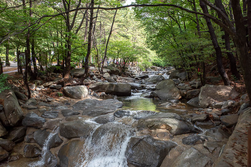
This is still pre hiking trail in the very large park that has lots of gardens to explore, but I was on a schedule to beat the rain.
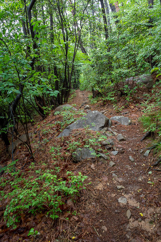
My trail was ok, not too slippery, but also the wrong trail! I had to retreat. Across all of Korea there are way too many trails at the bottom of mountains. Some join up, others like this one do not! Following this would have got me nowhere.
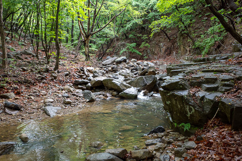
To get back to the right trail I had to cross a stream. Not a raging river I might drown in but I was very aware that I might slip and go under, with my camera. I did not, but I did get down on all fours to cross.
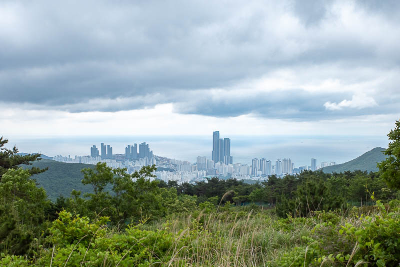
A view from nearly half way. The Ocean looks very still. Those 3 large buildings are Haeundae beach from the day before yesterday.
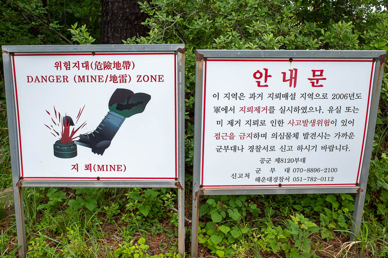
These signs are quite common on Korean mountains. I do not know if they are really for that. There is an army base on the top and lots of razor wire, cameras, and then maybe a missile launching site. I think the mine signs are just to make sure hikers do not make a path that grants them a view of the equipment inside the base.
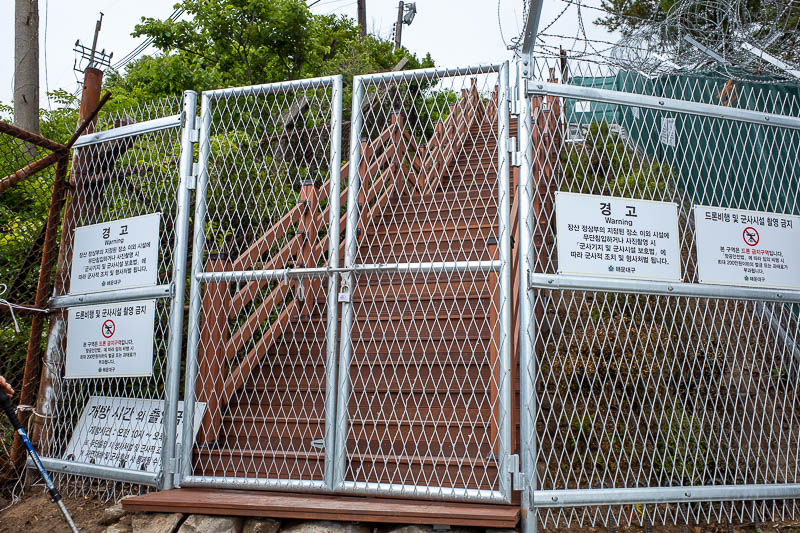
The path to the actual summit was blocked. That staircase has been open in the past, and the map shows it is the official trail. Not today! The gate looks brand new, so maybe it is a recent change.
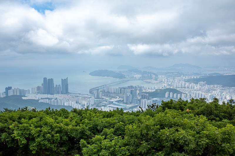
Instead I had to be satisfied with a view just below the summit. There is one of Busan's weird bridges that crosses the water to ruin the view from the beach.
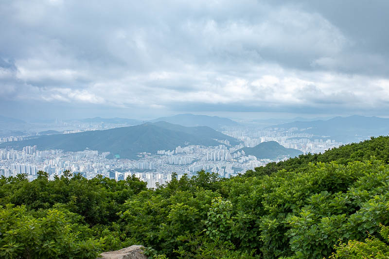
More view.
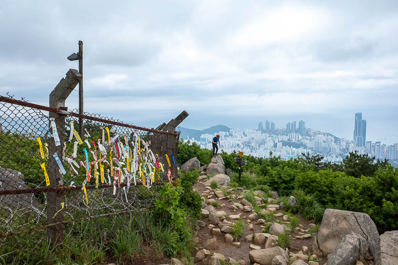
With the amount of ribbons here, I guess the old summit has been off limits for a while, and this is the new summit spot. A Korean man nearby is trying to break his neck.
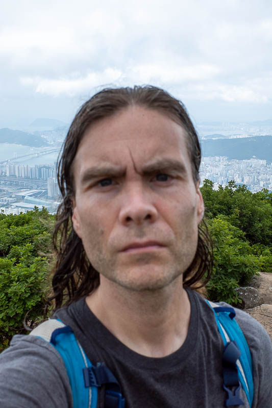
Serious face today. I had to get back down without breaking my neck! Slightly out of focus, my facial crevices lack definition.
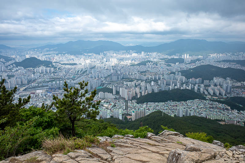
But wait! After going down a bit I found a path back up again to a 'secret' summit. Much better view from this spot, photo of the day.
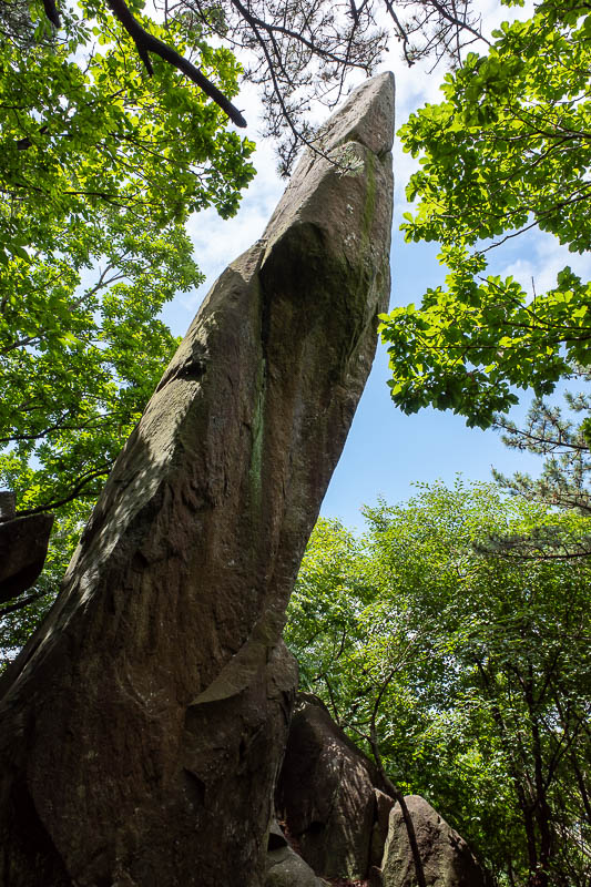
On the way down I passed some rather unusually positioned giant rocks. I do not think this one ended up like that naturally.
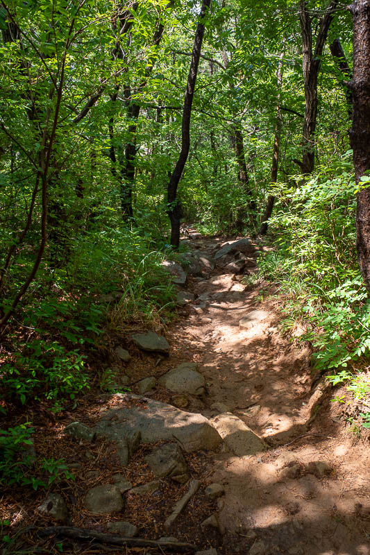
It does not look like much, but this is quite steep and quite red and muddy after the rain. I managed to stay upright but my shoes got filthy.
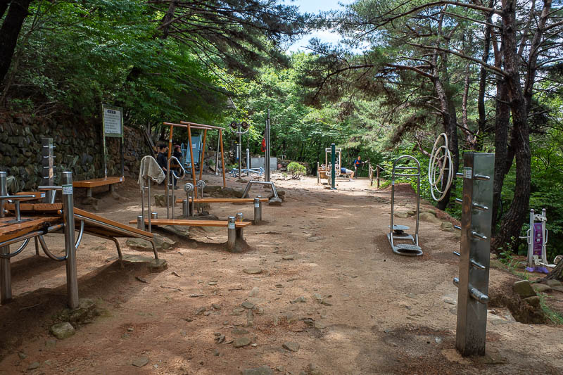
I knew I was getting near the bottom when I hit the outdoor gyms. This one was quite deep in the forest, but well equipped and a few old folks were here, looking at me sideways as I walked by.
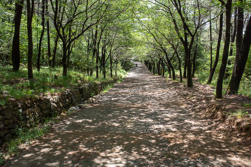
Then I hit a nice wide forest trail. The sun was still shining. At this point I realised I would not be impacted by rain in a way that would require me to slide down a muddy path.
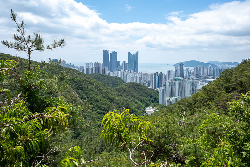
Very clear, lower down view. Runner up for photo of the day.
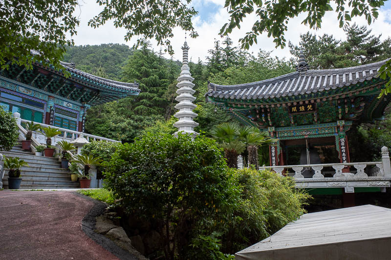
I mentioned it above, but here is the end of hike temple. It is where I stopped my watch. Shorter hike today, just under 4 hours, about 20,000 steps.
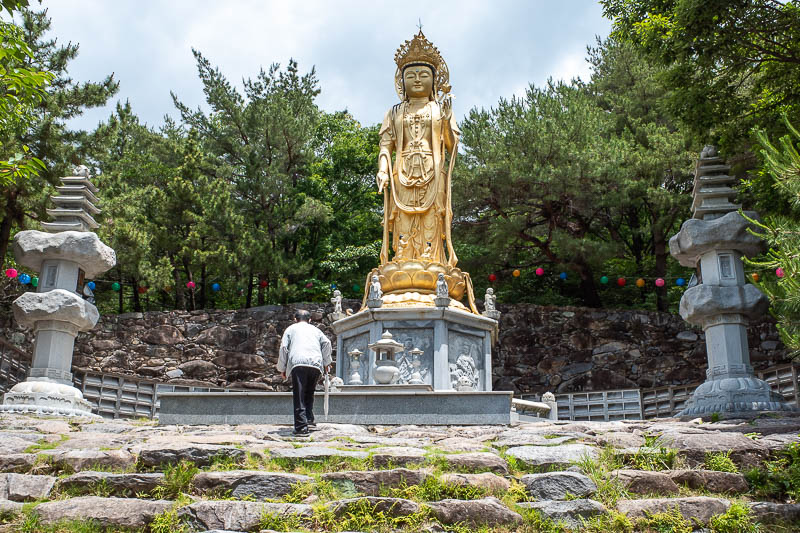
Golden Buddha was also enjoying the sun and clear skies.
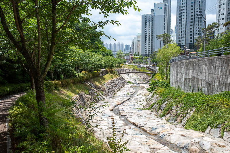
Of course, the temple is not the end of your walk. There is still a walk down from the temple to the Subway, about another 5000 steps on this occasion, but a nice trail to follow instead of the road. I was surprised there was not more water in the drain thing.
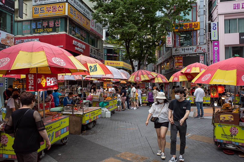
And since I was back to my hotel early, I wandered around the local BIFF square (Busan International Film Festival), in my muddy shoes and with sun screen all over my face and shirt. People made a hole for me. 'Famous' actors have done the Hollywood hand print thing in this street, hence it is BIFF square. Just checking now, still no rain, good. No idea what I am doing later.