3 June 2022
I lost the wall
Hiking Geumjeong fortress in Busan
Lets get something out of the way immediately, crap pictures today due to pollution.
I culled a lot of what should have been good pictures. I moved sliders to de-pollutionify, but I can only push the pixels so far captain, shes got no more to give.
With that out of the way, I have done this hike before. Today I did it differently, not on purpose. Actually I am not sure. Last time I was here it was early spring and the wall was a lot more visible. Today it was covered by foliage.
It is also possible I walked a different bit of the wall, and I think that was the case nearer the start, but not at the end.
I guess it is also technically possible that none of this is real, and wasting time pondering something artificially constructed to keep my feet active is futile at best, potentially destructive.
This is the 3rd great wall of Korea I have been along on this trip so far, will there be more? I do not think so but you never know!
The best pics are near the start, there was less pollution then.
I will tell the story of the day with the huge number of photos.
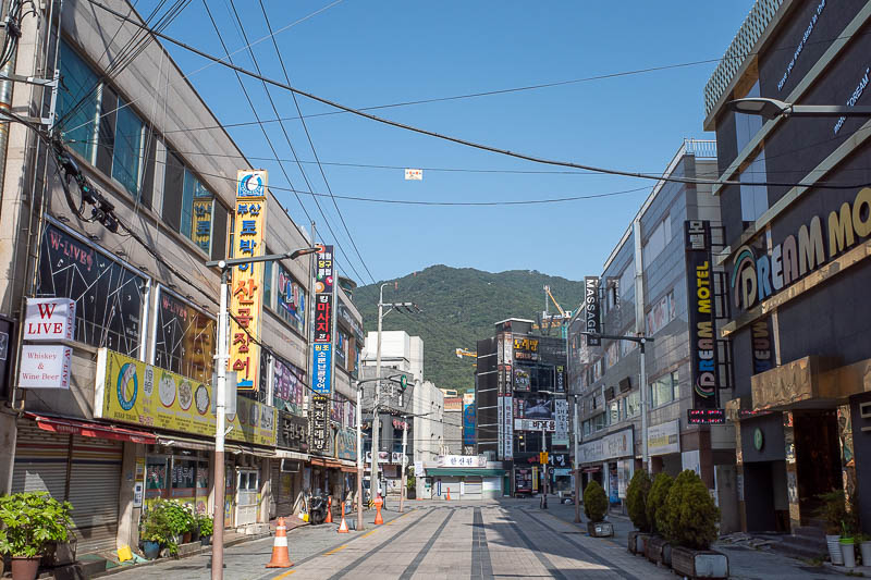
I walked up the same street to the park entrance last time.
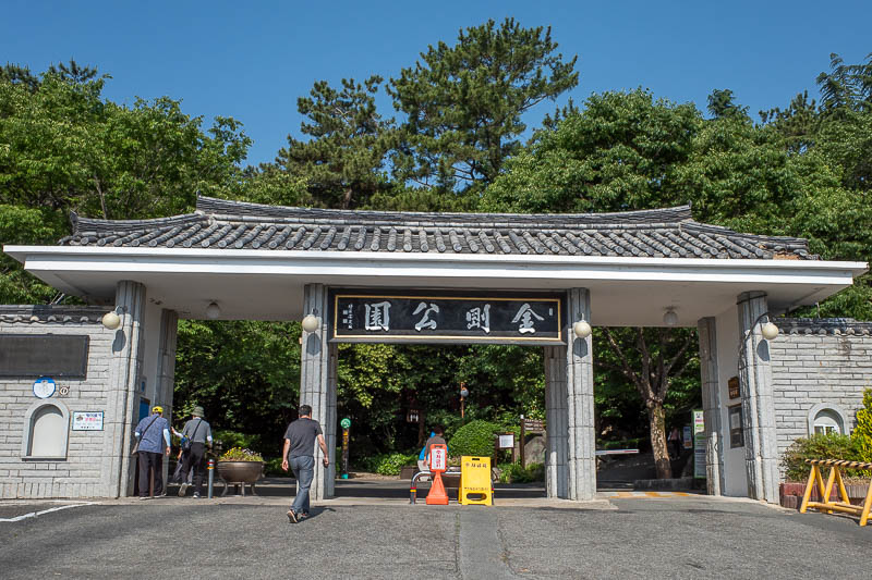
Here is the park entrance. There is a cable car, booo! There were a lot of people hanging around at the bottom of the park, lots of temples, gardens, tea houses, a few museums. A great place to waste the day as a retired person.
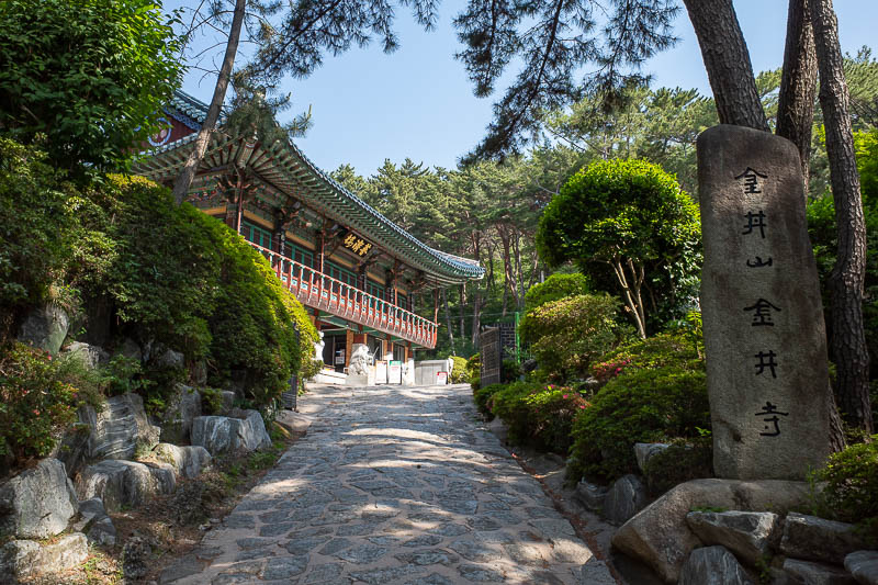
Here is one of the temples, I am not exaggerating when I say there are at least 50 of them on today's route. Some of them are hermitages, and the one I wanted to see at the end I could not. More on that later.
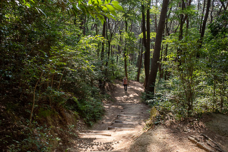
Here is the sort of path I found. It is different to the path I took up last time. By far the most strenuous part of the day is the first bit, getting up to the ridge roughly following the cable car. There are 20 ways to go, so choose your own adventure!
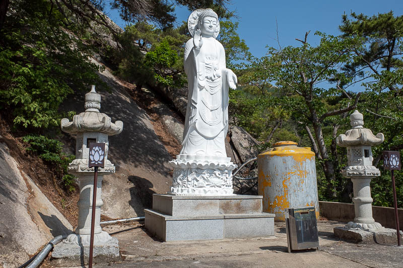
One of many Buddha's. I enjoy this one because he is perched next to a septic tank.
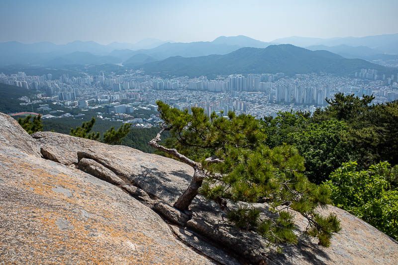
Good view with a nice tree. Busan is the mountain city of Korea, everywhere is a mountain sticking up looking down on the city. It is a great shame about the pollution though.
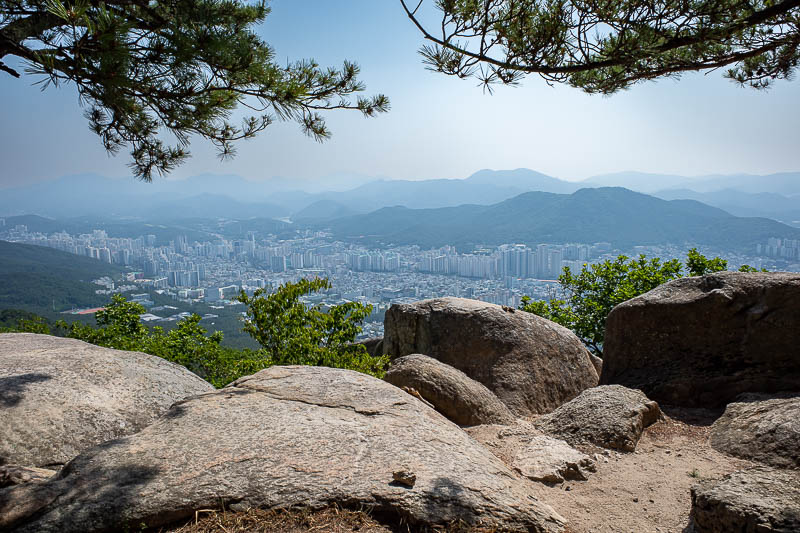
Another view spot. Look at all the mountains.
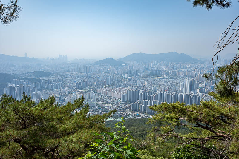
OK, last early view before I go find the wall.
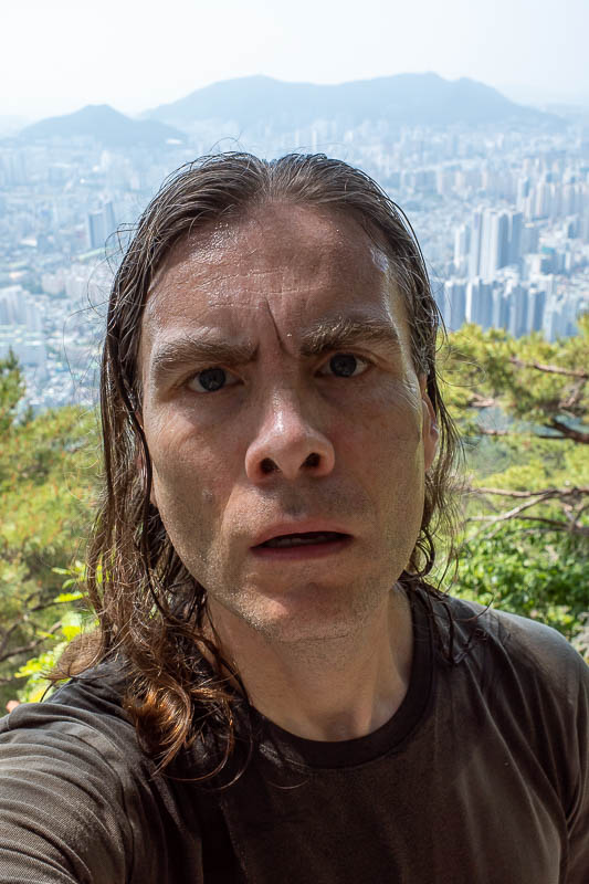
This is not a view, it is a magnificent portrait.
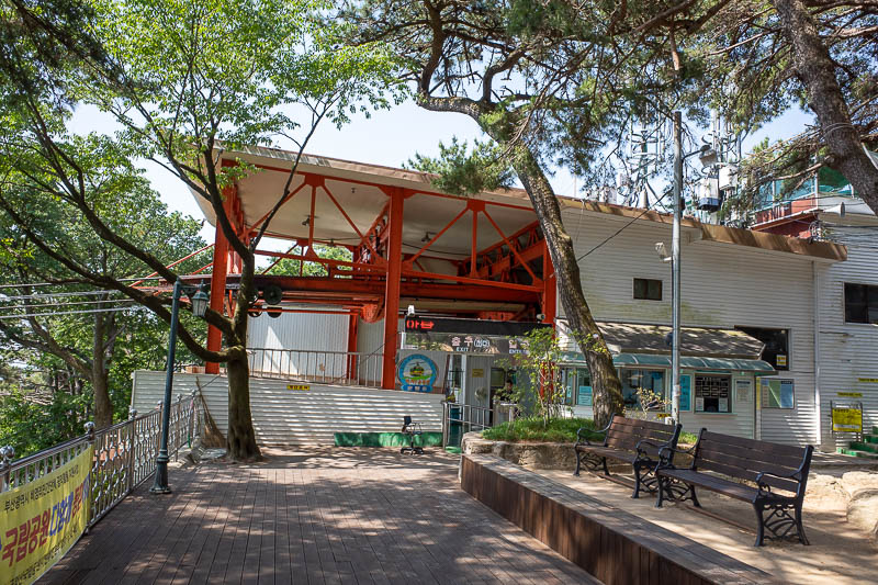
The upper cable car station had no people, but I could see the cable moving. Just like last time, no actual car came while I waited for a photo. I decided to move on.
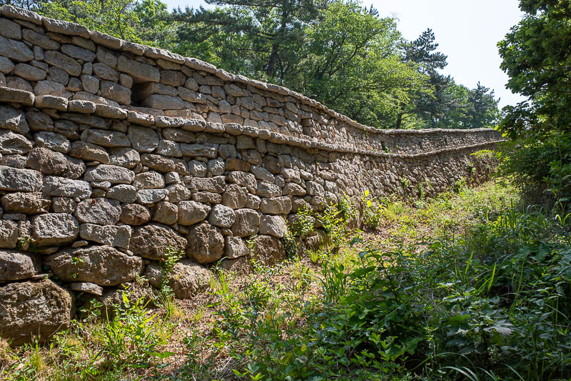
Behold, the wall! It was built around 1600, but there are some doubts as to who built it, why and exactly when, which seems a bit weird because it is not that long ago.
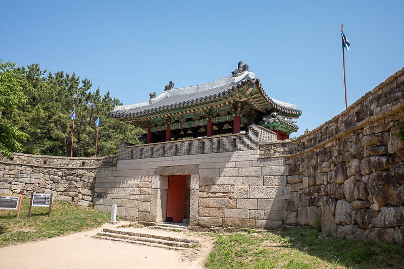
I remembered this gate from last time, but then today I got lost at this point.
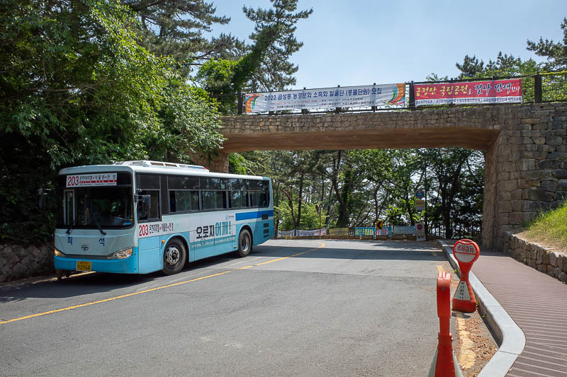
You do cross one road in a valley, and as you can see there is a bus. I do not think this is where I crossed this road last time, because after this point the wall ended for a very long time until I found it again hours later.
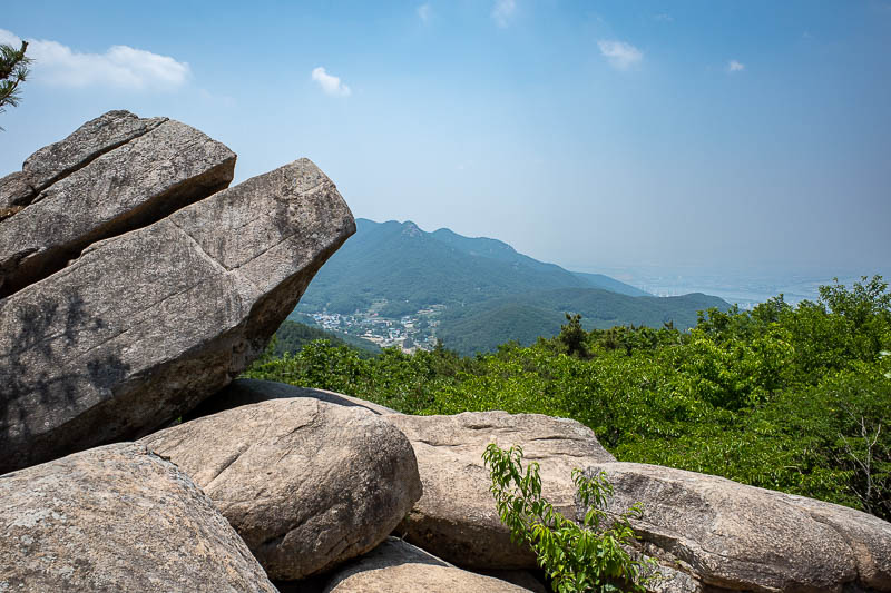
Rocks and a tiny glimpse of Gimhae, the city on the far side of this mountain range.
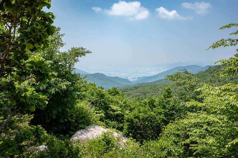
A bit more Gimhae, the airport that serves Busan is down there.
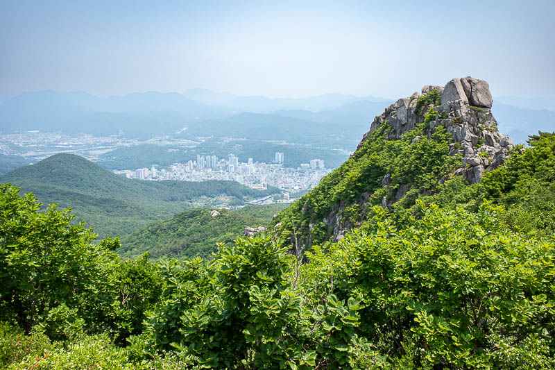
Busan is a very complex city due to the mountains. You can never see all of it at once.
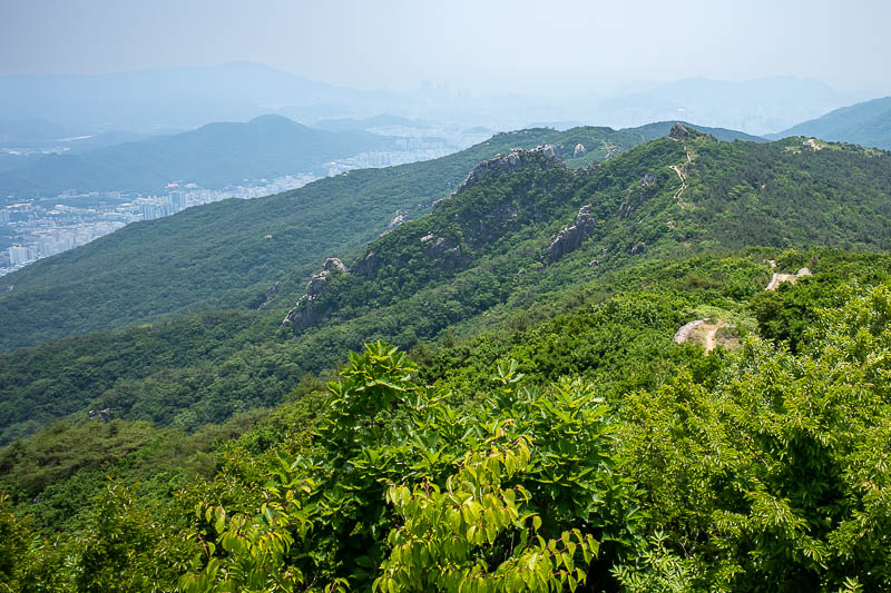
Here is a bit of the wall, almost overgrown by trees. The tall buildings you can see if you squint through the haze near the middle of this pic are a part of Busan nowhere near my hotel. I believe I am staying at a hotel off the right edge of the screen.
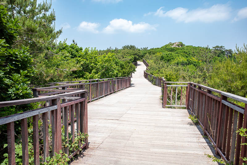
Surprise wooden deck. But, it was badly weathered, I did not trust it at all. I was careful to step only on the nails.
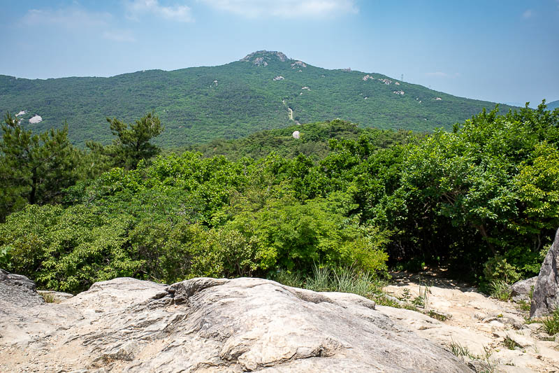
There is some more wall. Now I think last time there was no greenery at all when I went up that hill.
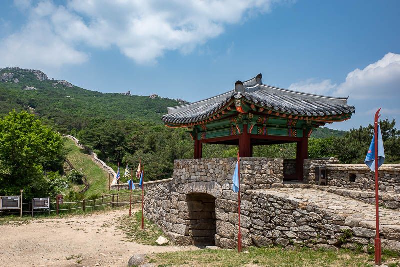
By this point I had rejoined the wall, behold, another gate. But I now realise I went a different way to last time as I took photos from a few different watchtowers last time, I think, I do not really know. Alzheimer's I guess.
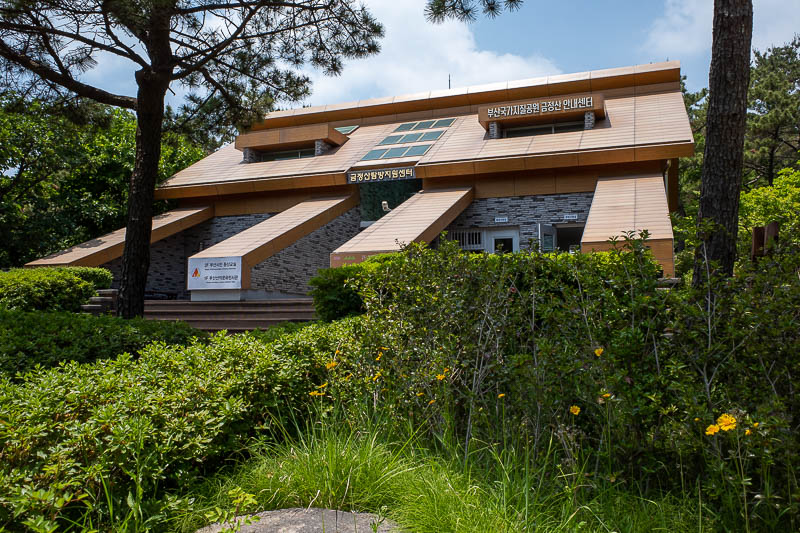
Mountain school. Training kids what to do once they retire.
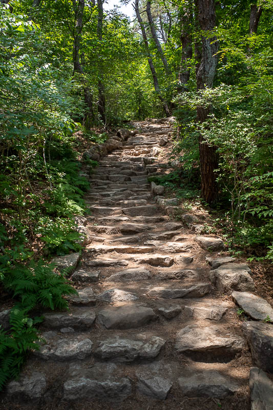
I think I went a bit further than my previous visit, up to the next peak, which is the highest of the day. It was a more developed area, probably due to the above mentioned mountain school.
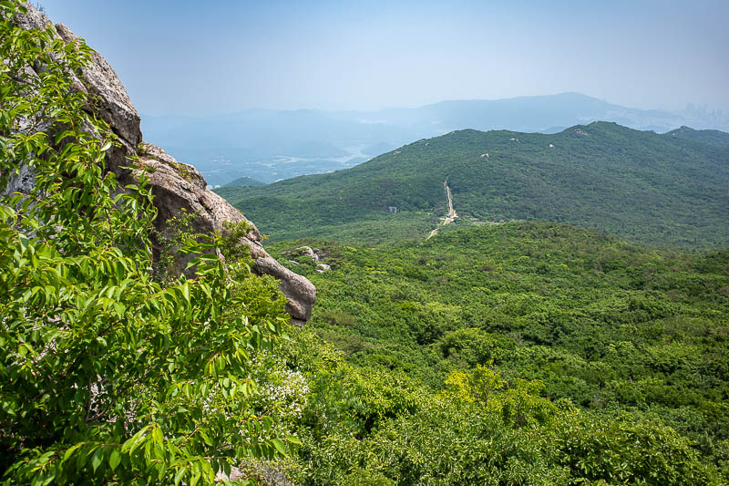
Nearly at the top, there is the wall.
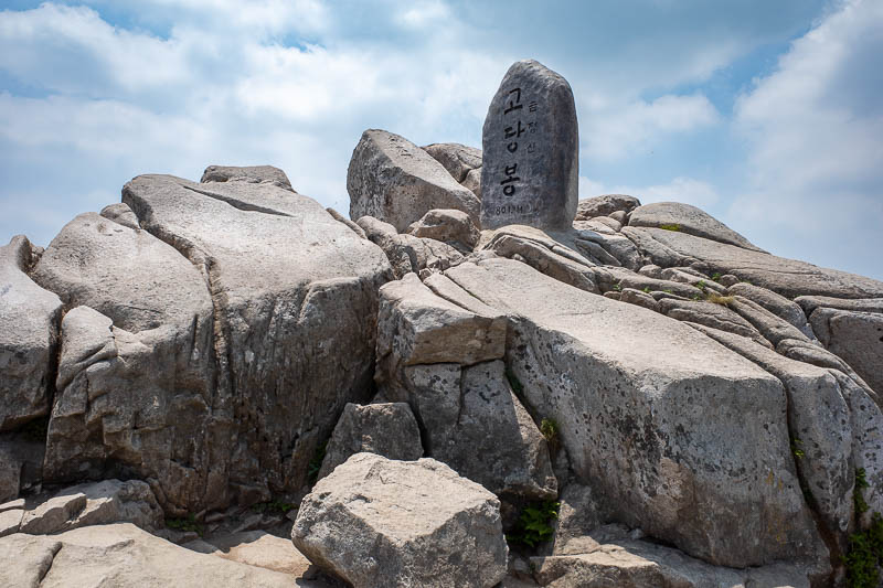
Summit marker. Right on 800m. Long and low today, lower would have been better due to the smog. Having said that, 6 hours, 35,000 steps, 1600m total ascent. And there were more steps than that too, read on.
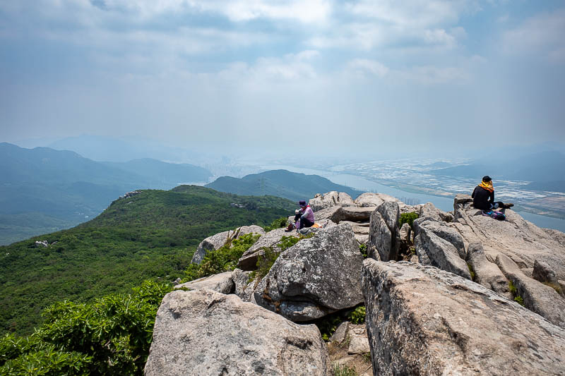
A couple of other people were on the summit, that is Gimhae again on the other side of the river.
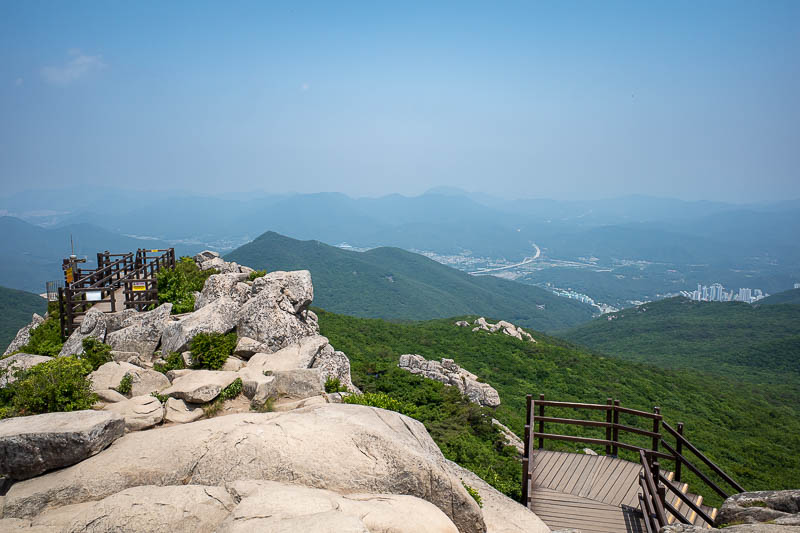
My journey down was that way, but probably it should not have been!
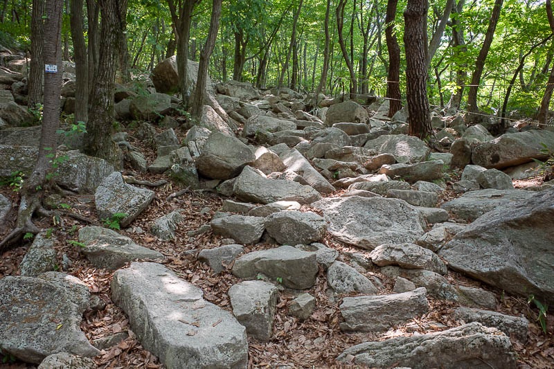
OK, so I followed a path down for a while, lost it, but was on a fairly well trodden but unmarked path that was going roughly in the right direction. I wanted to get to a Hermitage I went to last time that was guarded by a dog that would not let me enter. However, I hit some roped off areas that said I could not go any further as the monks were in retreat. I had come down for over an hour already! So... I crossed over some very huge boulders (not pictured) and after an hour of messing about and checking my map I got back to this section of smaller boulders, which was an official path down that was actually open.
I was very happy with the path I was taking as it was boulder free and went where I wanted to go, but it was not to be.
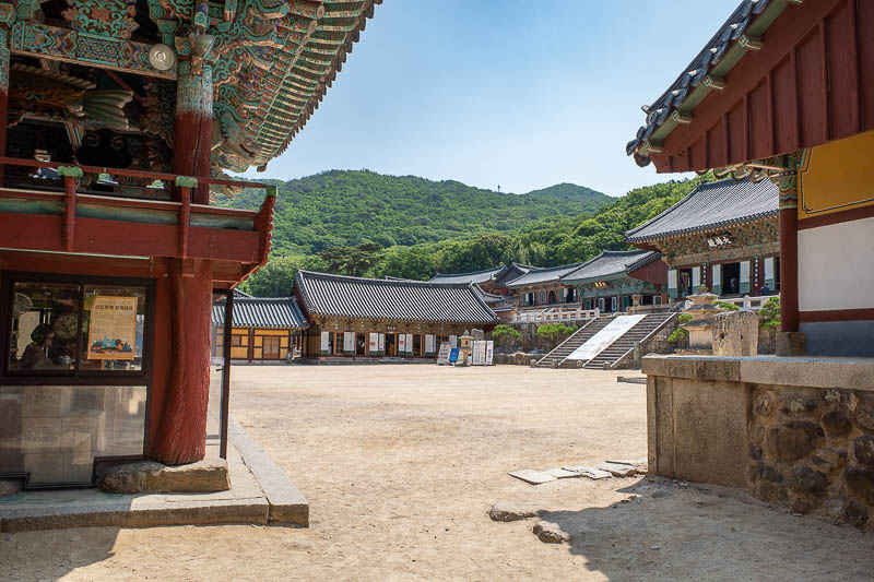
Eventually I got to the very large Beomeosa temple complex. This is just a tiny part of it. It is a very popular place.
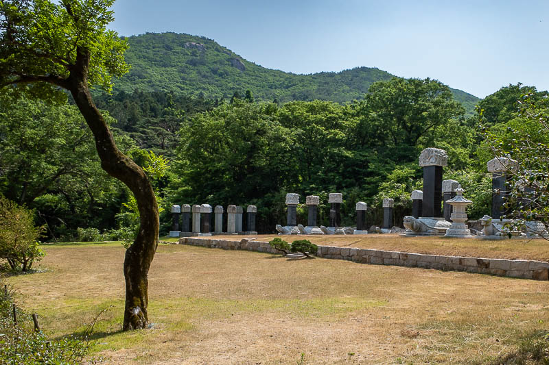
Monk graveyard, these guys are on permanent retreat.
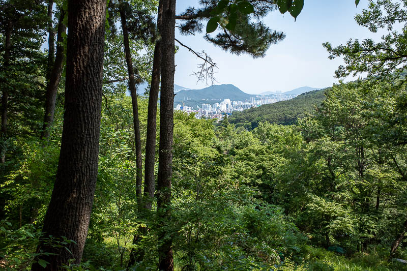
Once at the temple, I stopped my watch that tracks my hike. But it is still over 5000 more steps back to the subway station. There is a bus and I probably should have taken it, but I did not take the bus last time, so I did not take it this time. I actually stopped at the same store and bought an ice cream like last time too.
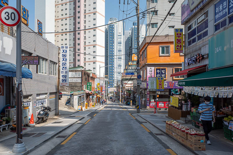
Final pic for today, now that I had eaten my ice cream, it was just a bit more of a skip down to the station, the final station on the line, and then a 50 minute ride back to the hotel. Since I have 40,000 steps today already, I will not be going too far this evening!