25 October 2026
The bears or the the typhoon?
Mitake and Hinodesan from Hinatawada to Kori stations
A lot of rain was forecast but only due to start at lunch time. Would I have time to fit in a hike?
I decided to pick one I have done before that has 3 or 4 possible early exit points along the journey should I need them. I also for the first time ever took my fold up into itself rain jacket, which I discovered can actually be forced into the bottom of my running backpack. As it turns out I did not need it. In fact there was a lot of blue sky.
By the time I finished, cloud was coming in, and also smoke from a fire somewhere (I could hear sirens), but still no rain. After 2 hours on the train back to the city, light rain had commenced. That is enough rain talk, now for the stats, in no particular order, as ever.
27,900 steps
15.61km
4 hours 32 minutes
999m vertical ascent
1,326 calories burned - higher than I thought but it was REALLY humid and I left salt sweat marks on my black shirt.
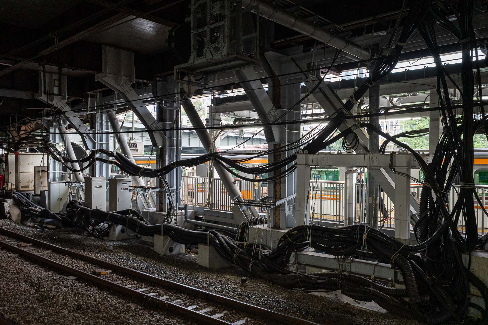
I started my journey from Ochanomizu station on the Chuo Okutama special rapid weekend service. There is a reason I stay on the Chuo line. This station is built high above a river, with multiple train lines going over it on different bridges, a lot of people time a photo to get 3 different trains in the same shot. Not from this vantage point... from a bridge nearby.
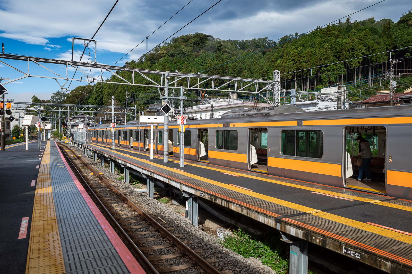
At Ome station you have to change to either another special rapid or the local train, both heading to Okutama. I had to take the local because my station of choice is a lesser station.
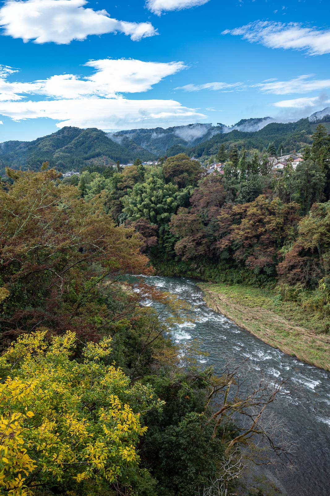
Time to cross the Tama river. I have taken shots of this river from about 5 different stations over the years, Mitake station is probably the best.
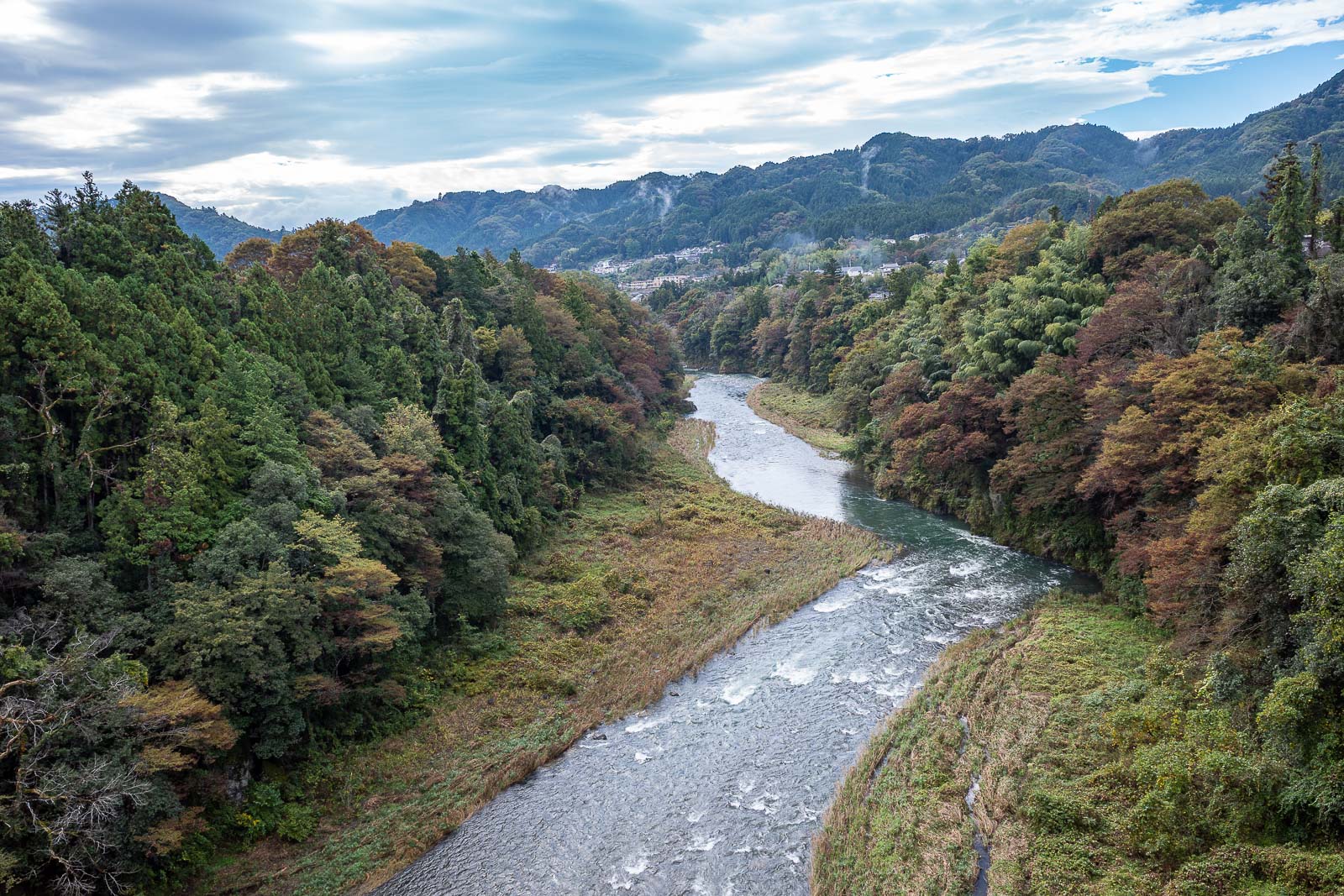
Although the view from Hinatawada is also pretty good as you can see.
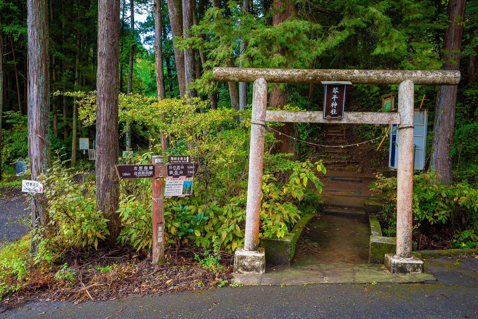
It is not far to the start of the trail, and there is a 7-eleven on the walk between the station and the hike. No bear warnings, unexpected.
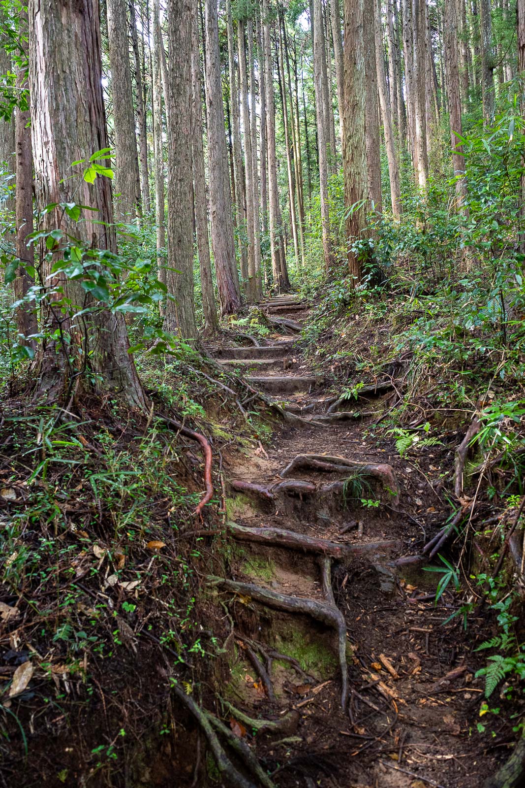
As mentioned, I have done this hike before, it was all coming back to me now. No spider webs so I was not first today, however I saw almost no other people until I got to Hinodesan.
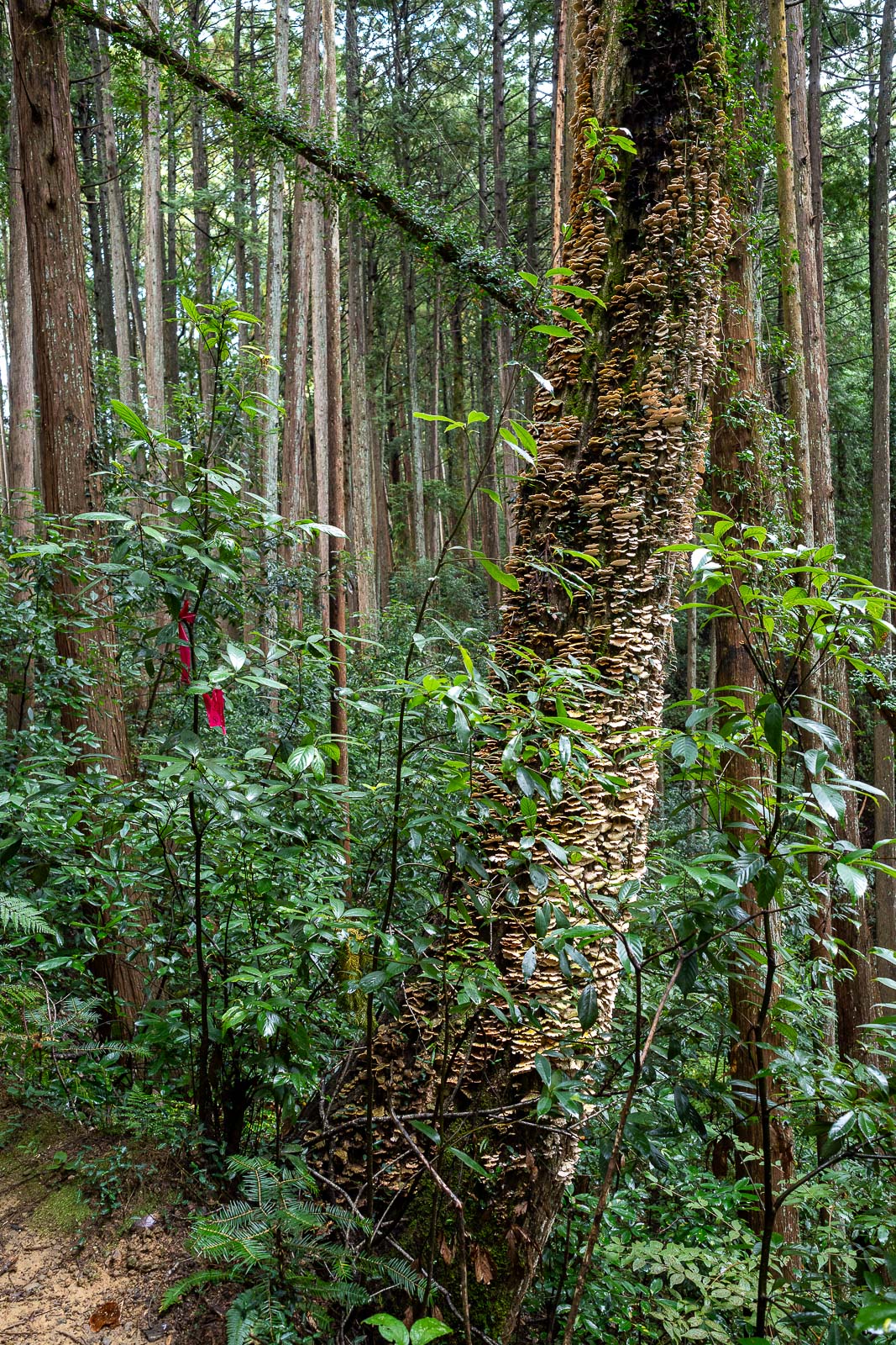
Lots of trees covered in fungal spores.
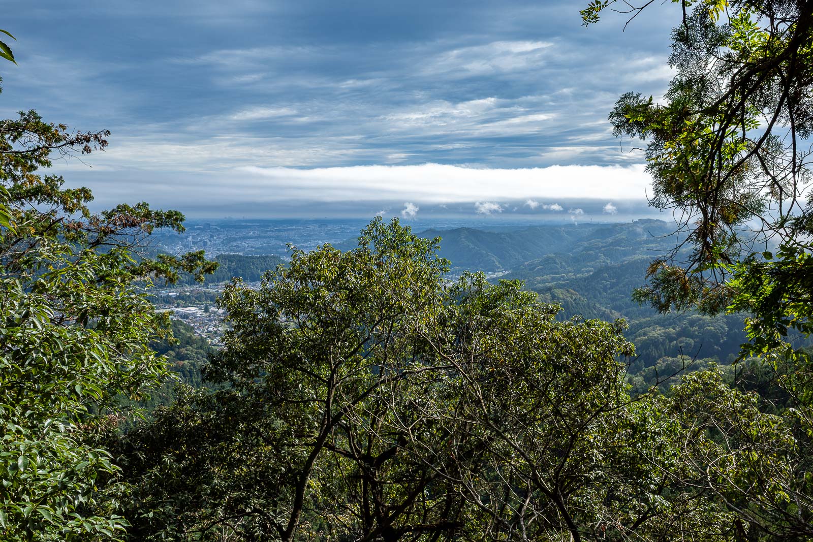
There are not too many views to be had on this hike. This is one of them. I had just passed a bunch of chanting cosplaying Shinto priests, I asked if I could take a photo of them in their white silk robes as they hiked up chanting with gongs, but they said no photo! no photo! and waved their hands at me.
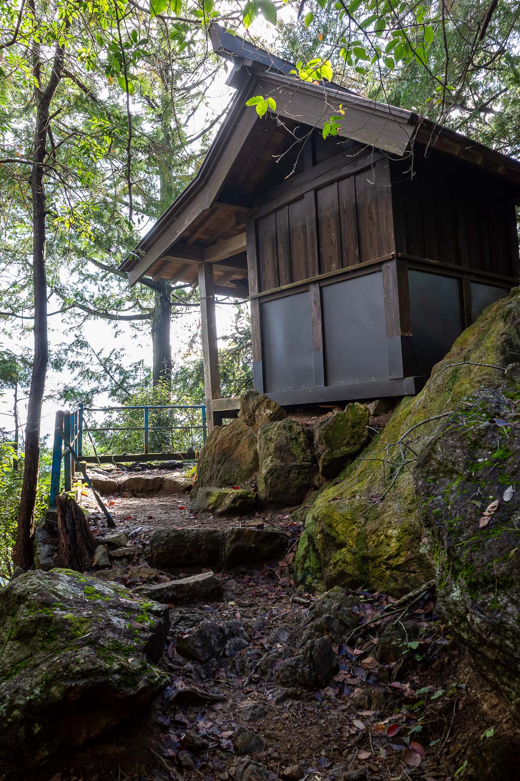
The priests were heading up to this shrine.
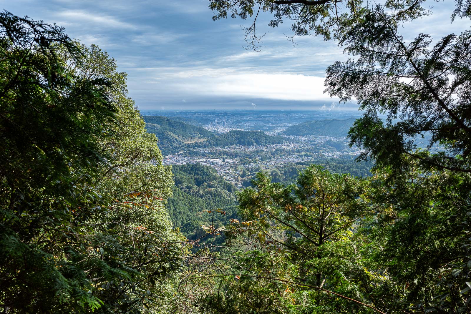
View from shrine. I was in the way now, they were stopping their procession to wait for me to leave, so I did.
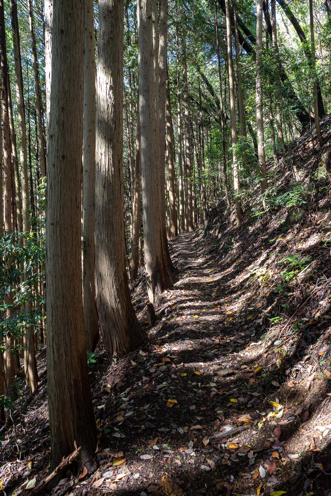
The path is very developed, which is one of the reasons I chose it for today, in case it started raining, which it did not.
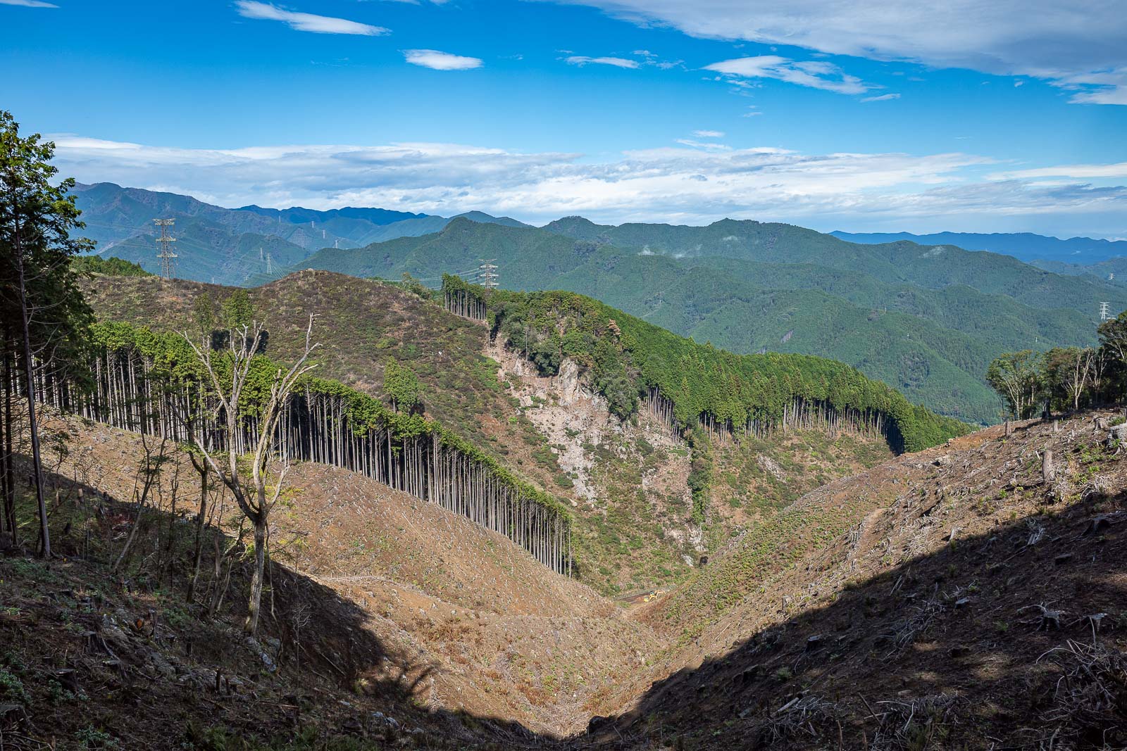
A view of forest devastation. Nice blue sky though. Not really typhoon-y yet.
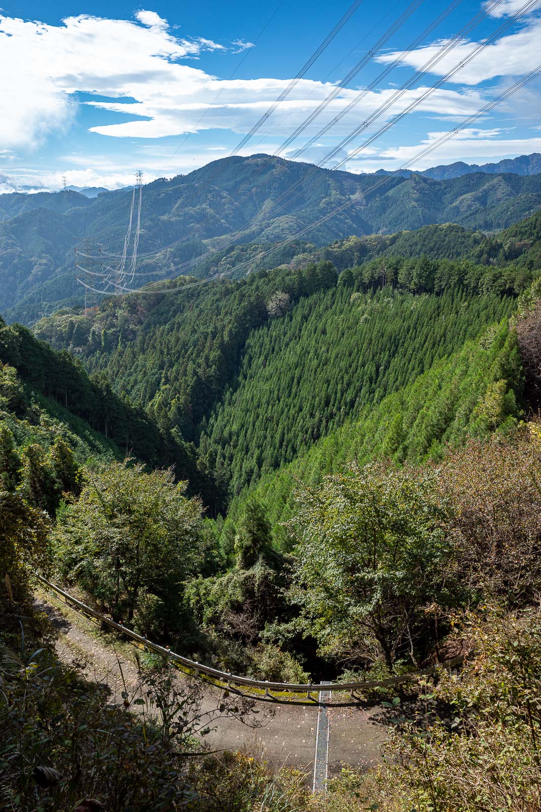
This hike goes near an actual road. Although I think it is closed off to cars. If the typhoon had arrived, I would have run down the road.
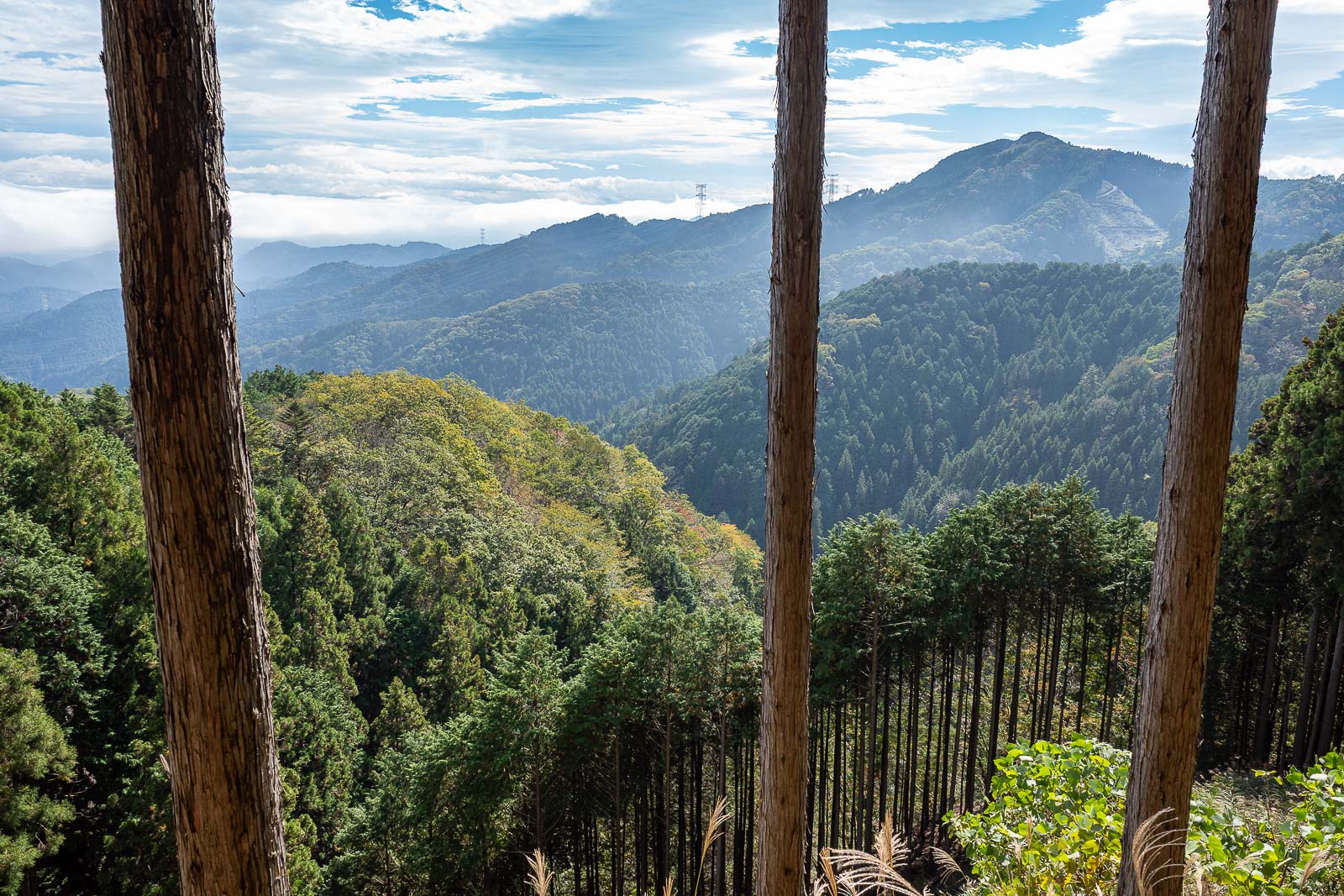
Next view. A bit of rising fog in the air from overnight rains as everything dries out.
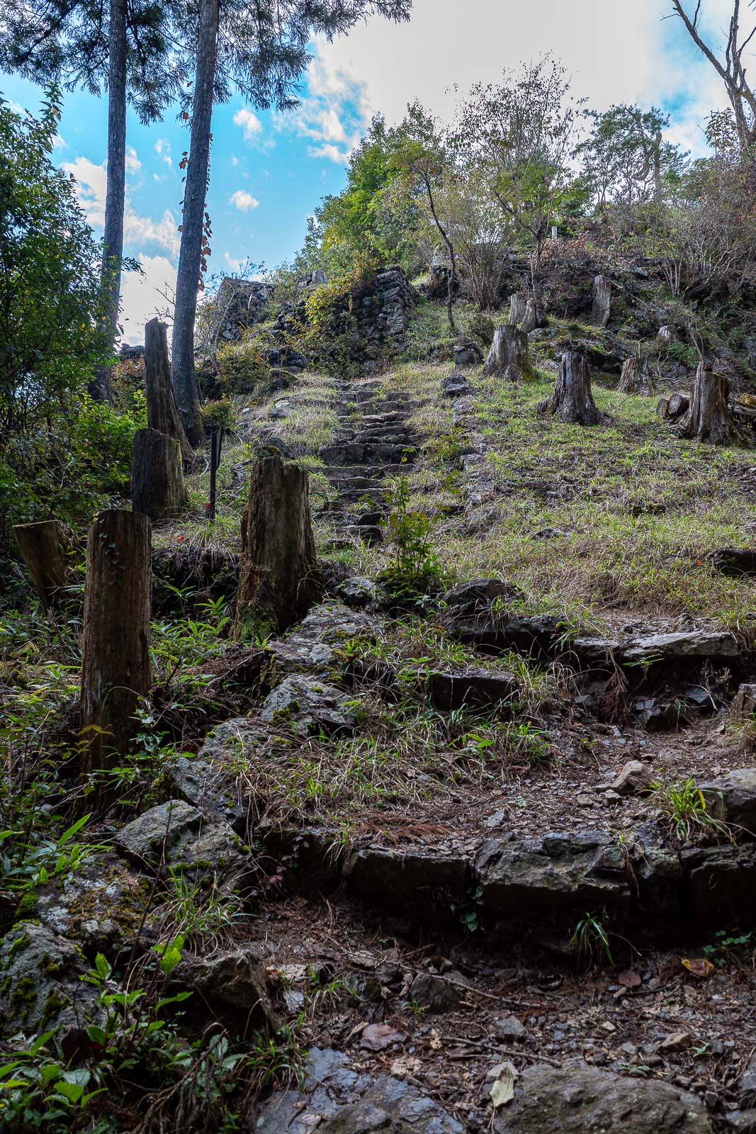
Arriving at Hinodesan, a cross-ways for about 5 hikes.
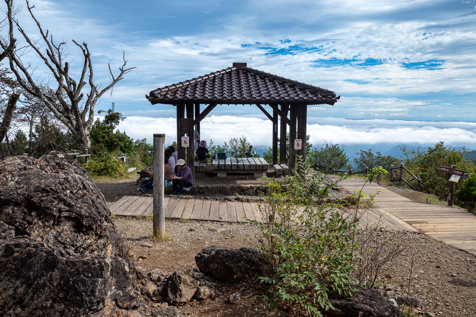
Other than the priests, these were the first people I had seen, very surprising on a Sunday. Fog below.
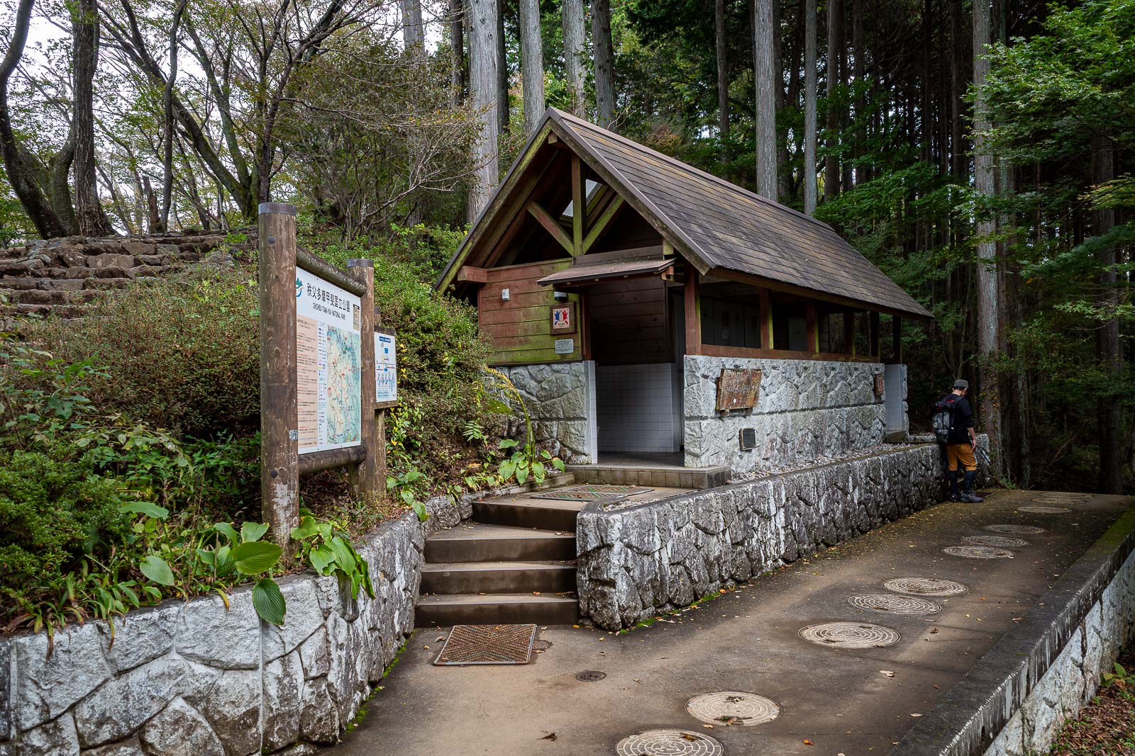
Between Hindodesan and Mitake, where there is a mountain shrine accessible from a cable car, there were a lot of people, and a public toilet.
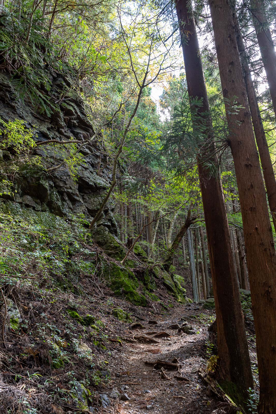
According to my hiking map, this is a famous spot to take Autumn leave photos. I am too early for that.
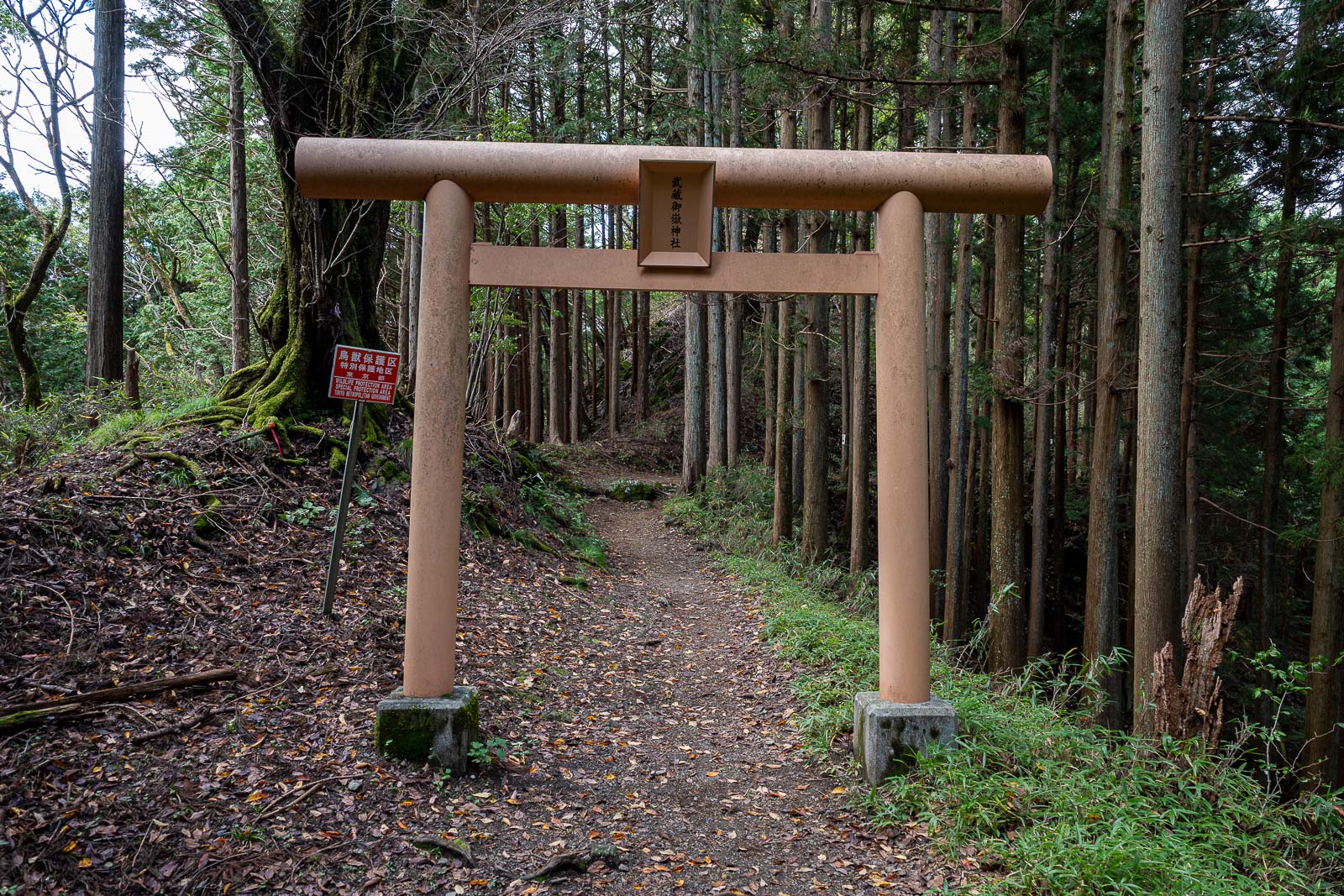
Getting near Mitake.
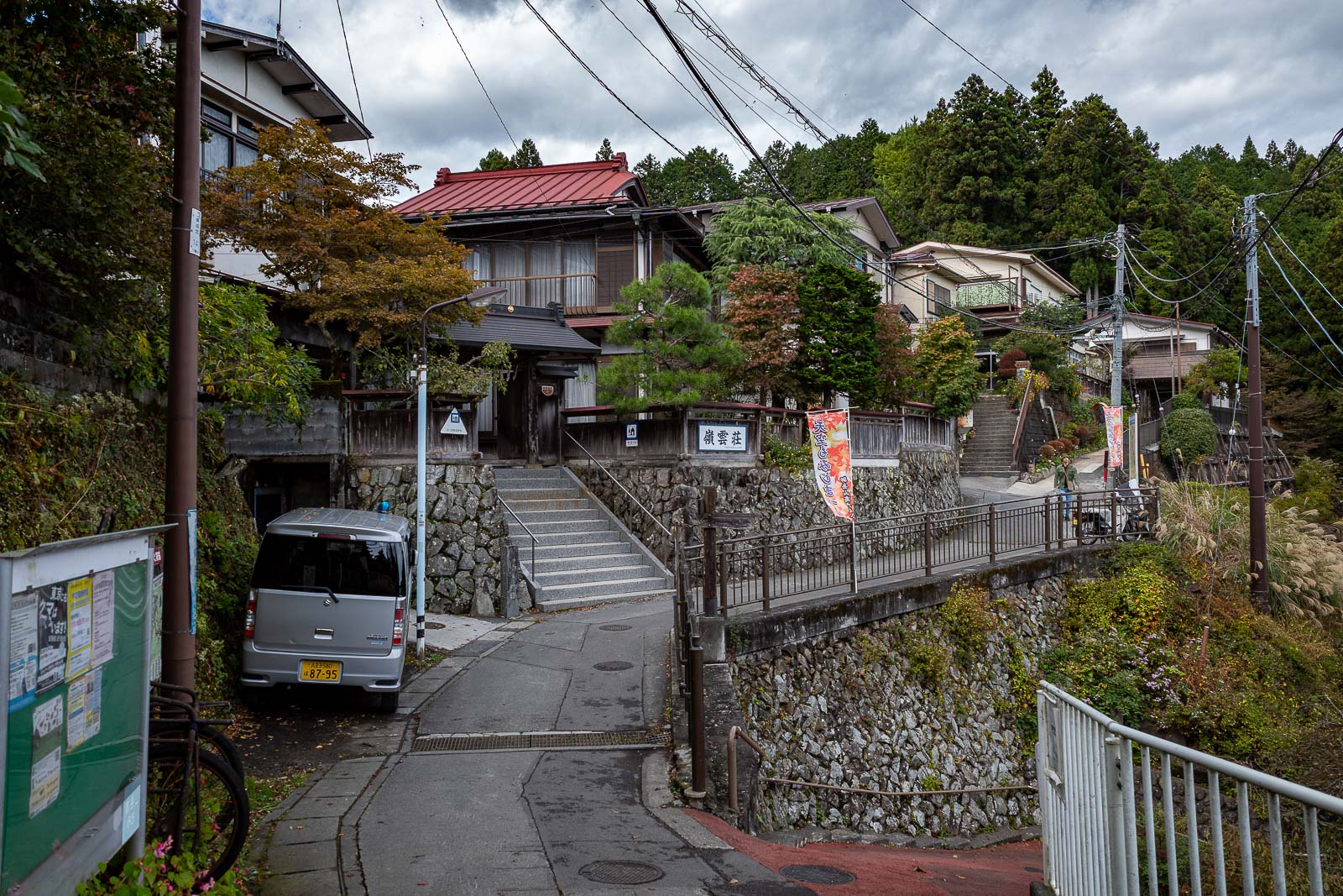
It is a mountain but you can drive up it. It is full of airbnb places. I avoided the shrine and the shopping street (refer previous visits if interested). By now it was starting to get grey so I decided to keep going, but get a move on.
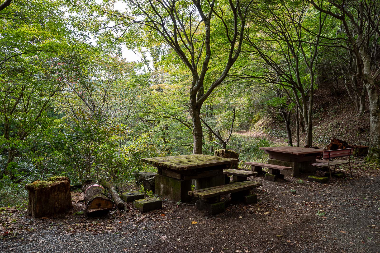
I stopped here very briefly for my calorie mate BLOCK.
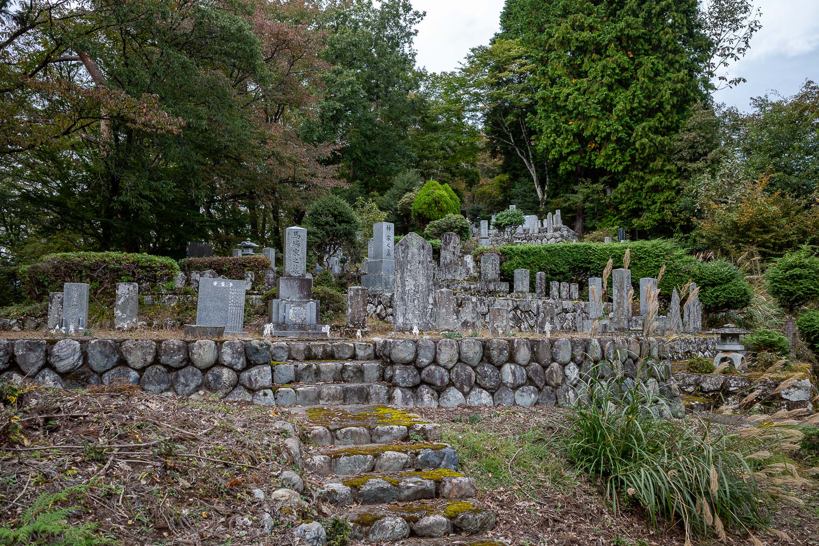
The nearby graveyard was a worthy diversion. I hoped it would have a dramatic sky opportunity with the grave stones, but I could not find an angle.
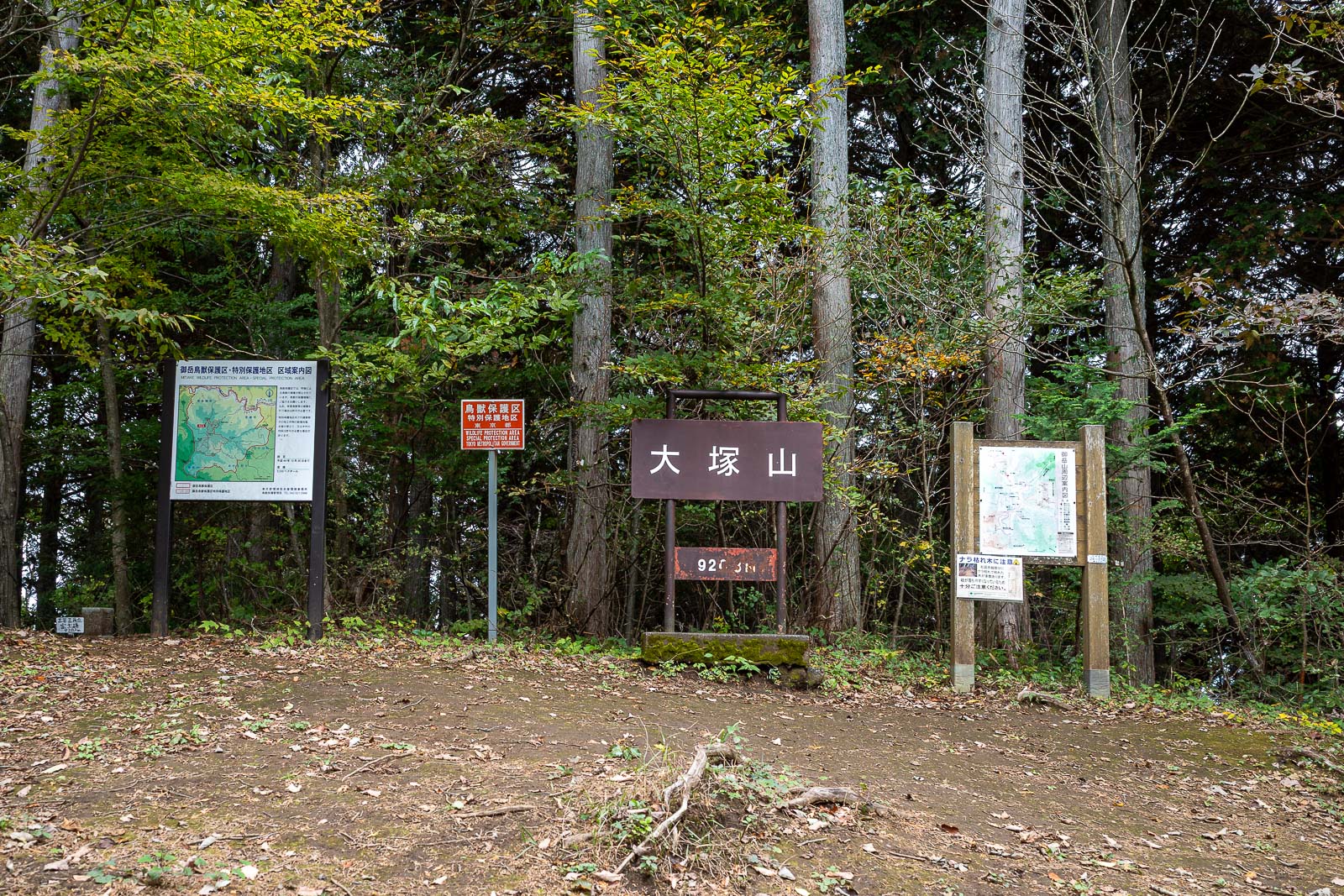
Apparently, the highest point of the day? No seats even.
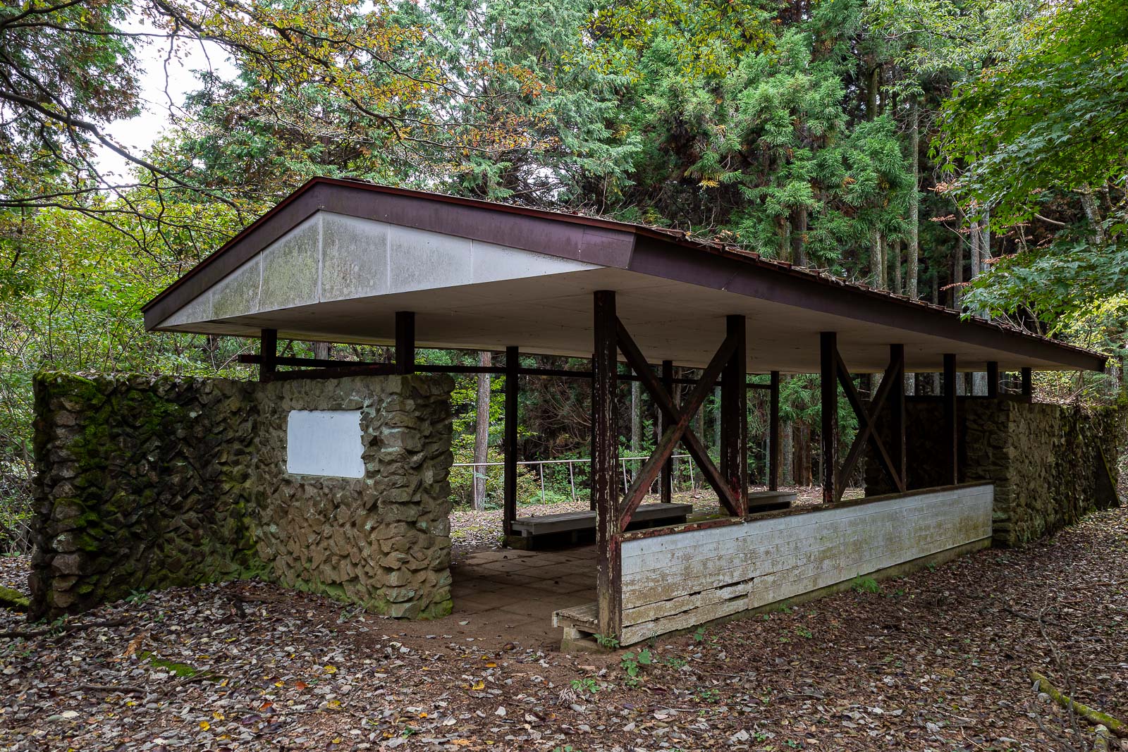
I remembered this building from last time, if it was raining, I could hide under it, and realise it is not going to stop and that I had wasted time waiting and would have to get wet anyway. However it was not raining, but there was some smoke in the air.
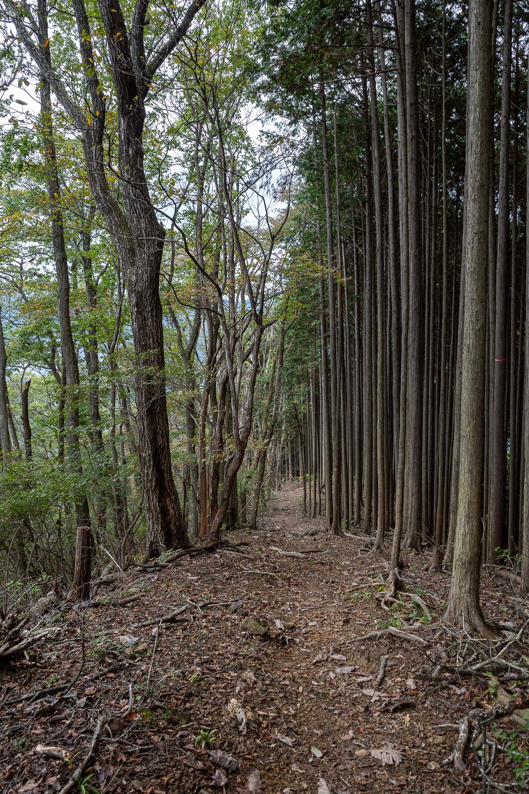
The path down was logging forest on one side only, and very lonely.
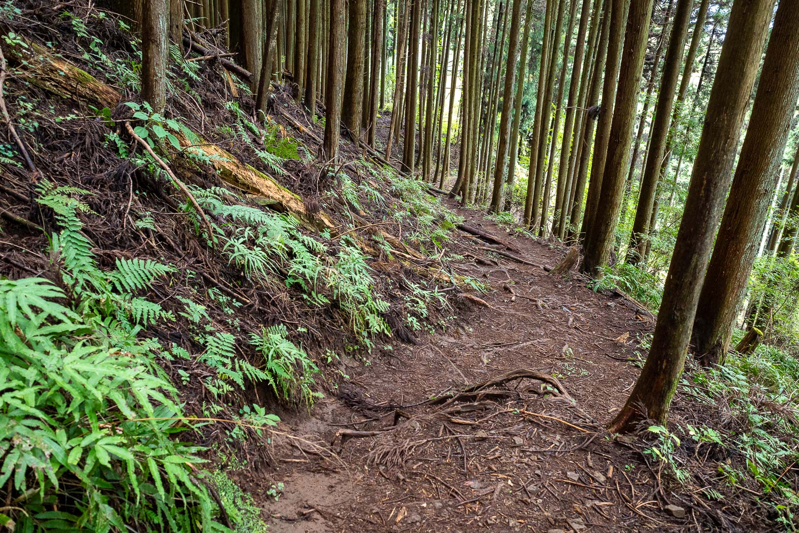
Eventually, ferns.
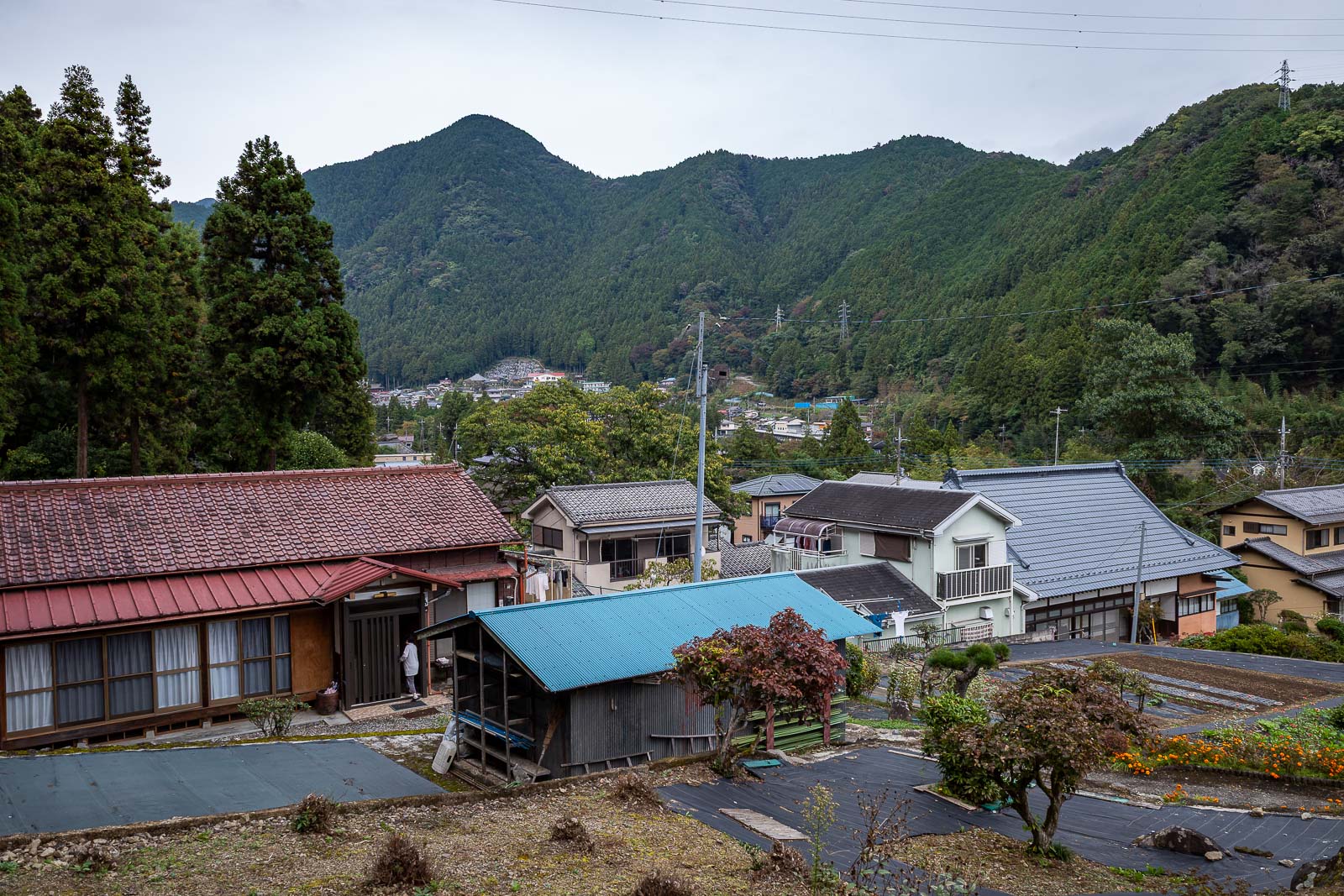
Finally, I emerged near Kori station.
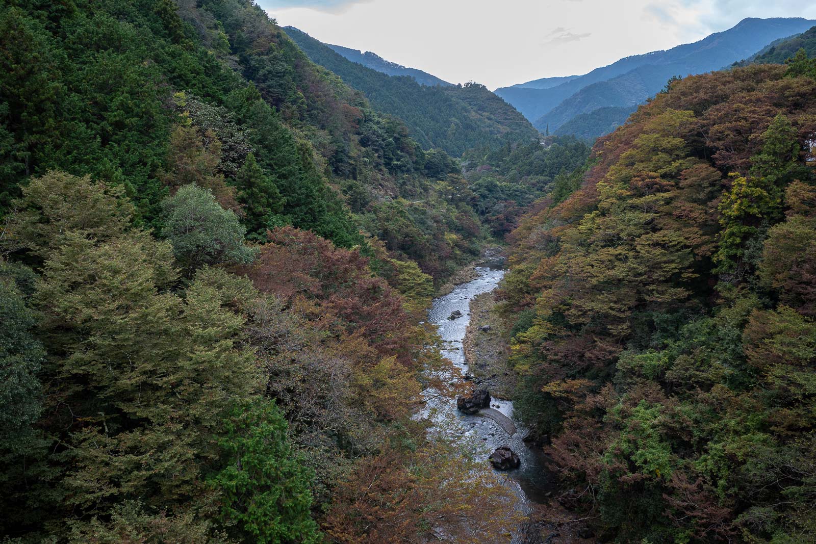
The view down the Tama river at Kori station was also nice, but needed a better sky to be great.
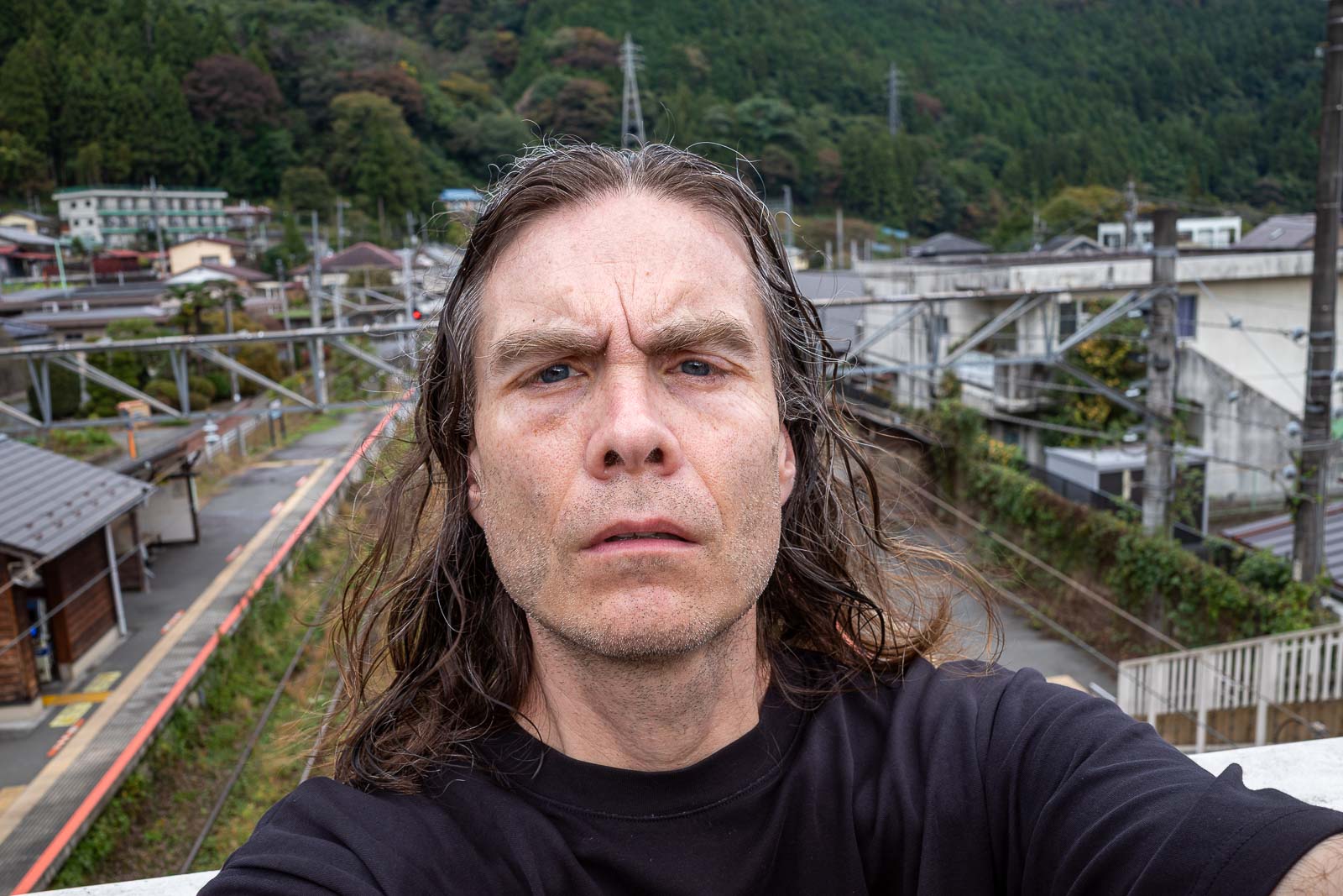
With 20 minutes to spare before the train comes, there was time for a selfie. The big vein in my head is gone?
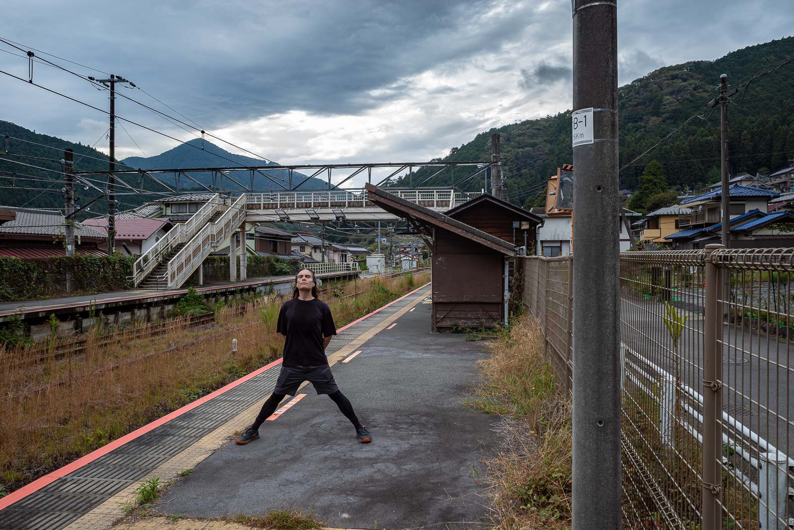
And then I even had time for the stance, and a good one too!
Final rain update, looking out the window now and it is... not raining.