30 October 2019
Three peak party
Climbing three mountains near Mitake including Iwatakeishiyama
Awesome weather, lets get hiking!
Todays hike started from Mitake, the main village up the very picturesque and familiar to me Ome line. Most people go to the other side of the river and go up to Mount Mitake on the cable car. On a previous trip I had come from another train line and walked over the top of Mount Mitake, and down to Mitake station on what was an excellent days hiking.
Today however, I would go the other side of the tracks and scale three peaks. They were, in order -
Mount Sogakusan
Mount Iwatakeishiyama
Mount Takamizusan
Yes I know that I said Mount something-mount as san and yama both mean mountain (or do they? what about dake?) but I dont care, its easier for English speakers to find my stuff on Google if I call them Mount something-mount. I digress, as usual.
I feel as though I did this hike backwards, I started from Mitake station and ended at Ikusabata station. Most of the dangerous bits I found myself descending rather than ascending. It is much safer to ascend cliffs than it is to descend.
Also at the start of my hike there was no one at all but me, but towards the end, quite a lot of people were coming up the other way. It is also possible they were coming up and going down the same way rather than doing a loop course. Who knows.
In the first half of my hike I only saw one other group, two French guys that looked like soldiers. I know they were French as I heard them talking in the distance before they saw me. They were huge bald and very muscular. Now you may not believe me, but I think I saw them holding hands before they saw me. Which is ok in 2019. Anyway, as you do on a hike, as they approached I nodded and said hello. They gave me a death glare and said nothing at all, staring straight into my brain until I had passed. I turned back as I went past and they were still staring at me.
So there you go, I caught two gay French soldiers on a secret date in the woods that do not want anyone else in their platoon to know they are gay.
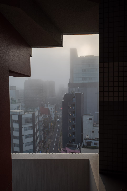
I nearly forgot to mention. When I woke up this morning, Tokyo was blanketed by thick fog. I had never seen that before. I do not know if the airports were impacted, but trains were, somehow! On the screens in the train a number of lines were listed as having major delays due to thick fog. This is the best photo I could take as I was straddling the emergency stairwell using my foot to hold the door open.
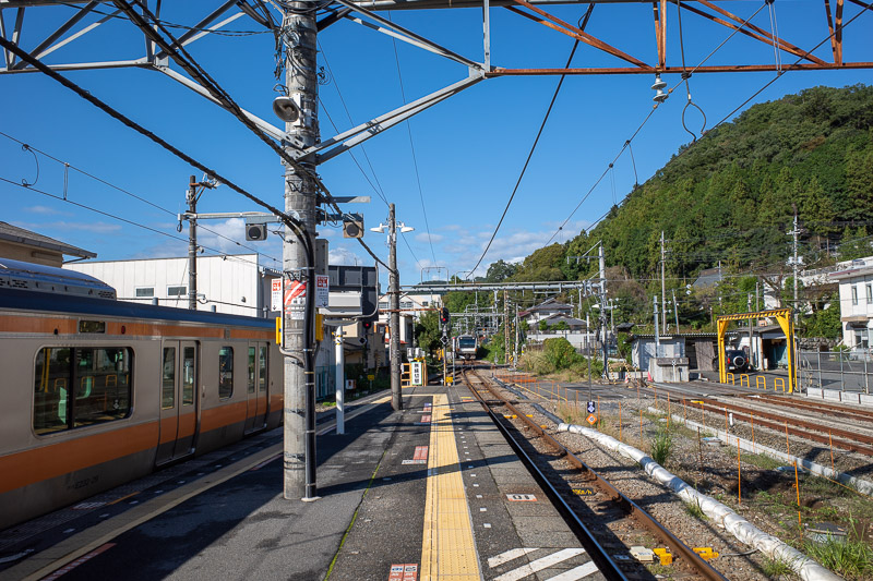
Getting to Mitake is quite easy, there are trains from Tokyo that go through Shinjuku that go all the way to Ome. At Ome you run across the platform to a waiting connecting train that goes all the way to Okutama. It will wait if your train is late. This is the view from the platform at Ome, so green and blue!
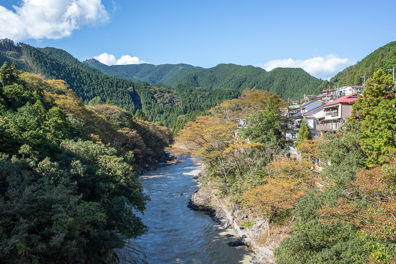
I have taken a photo from this exact spot before. Last time it was later in the month and a lot more colorful. It is still quite the site to behold even if less colorful!
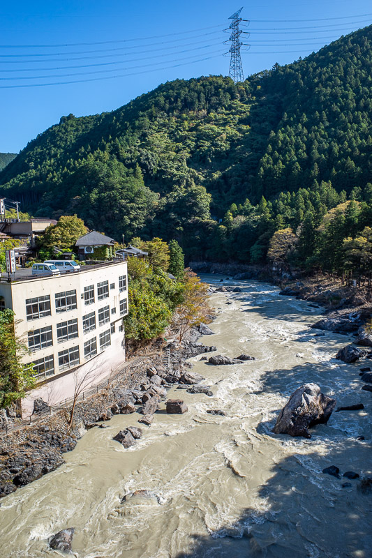
The view in the other direction, is not quite as amazing. That comma was probably superfluous.
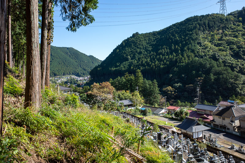
Finding the start of the trail was harder than expected. It is directly behind the train station, alongside the cemetery. There is a sign but its hidden in some trees. Once you find the start, you cant get lost all day.
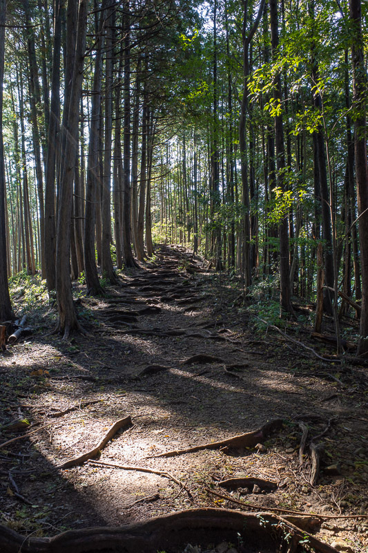
The first part is very steep, but eventually it calms down to familiar tree roots, mud and rocks like this.
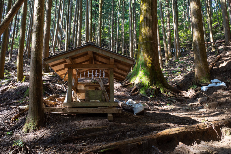
There are a number of shrines and mini shrines on this hike as you shall see.
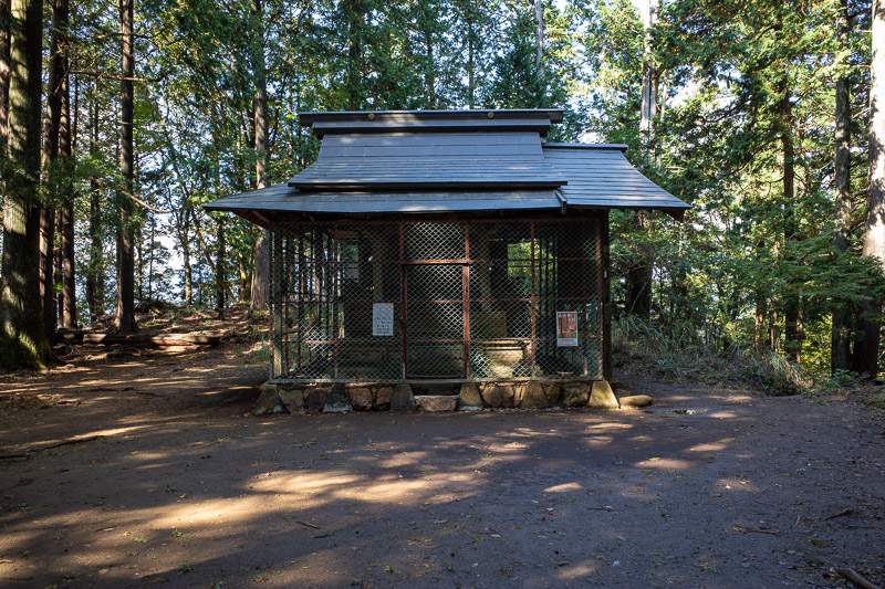
This shrine marks the first peak, Mount Sogakusan. No view from this peak, just this shrine covered in chicken wire.
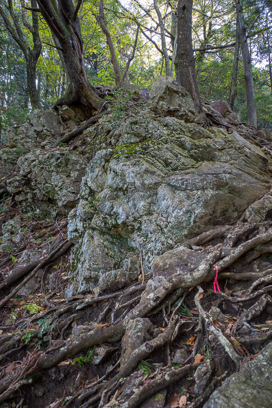
I had to descend down that cliff. If there were not pink ribbons I would have doubted this was the path. Probably the most dangerous part of the hike today.
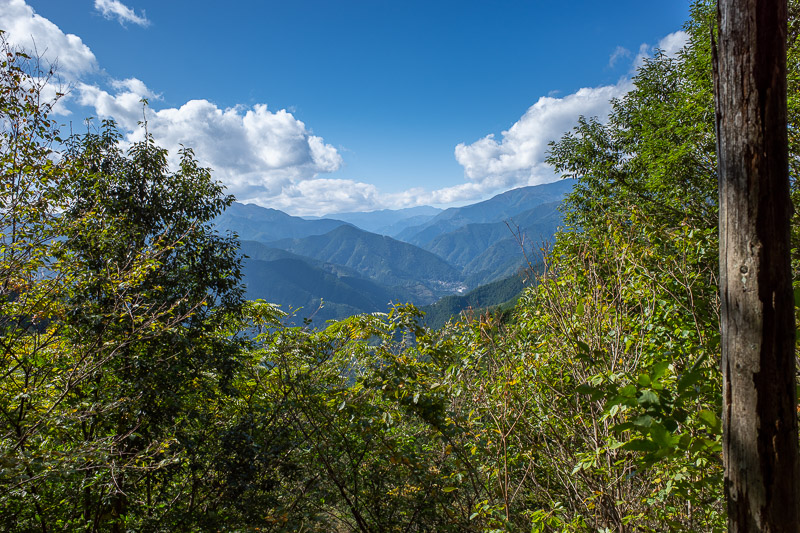
Occasionally a nice view opened up, such as this one.
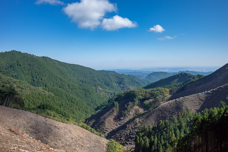
Some areas had active logging operations, creating a view! Without the logging there would have been a lot less views to appreciate. Japan logs for my view.
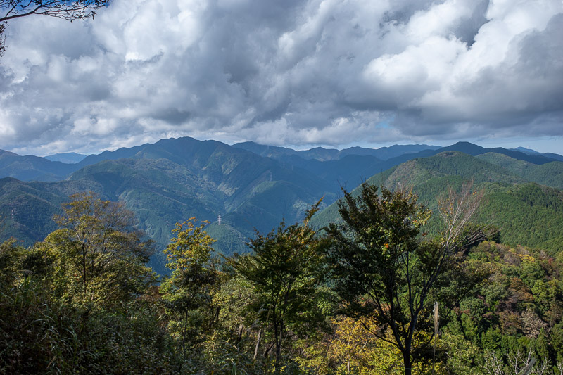
And here is the view from the main summit of the day, at Mount Iwatakeishiyama. Hard to spell that. Nice view.
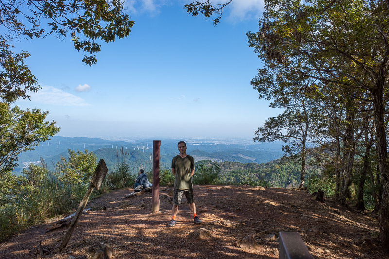
The view back towards Tokyo is also quite good from here. Or it would be if I did not get in the way. Also, RETURN OF THE STANCE. Those are my new orange socks with 3 kind of technology built into them. So far they are working well! My previous sock purchase lasted 1 single run before I wore holes in them!
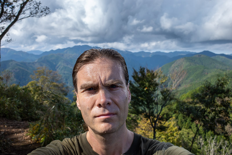
Here is my big sweaty head blocking the view. Remember last year when the big vein in my head was concerning me? It appears to be gone. Weird.
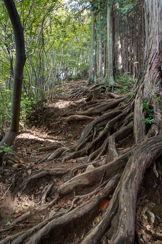
Three peaks meant going up and down a few times. I like going up more than down. Heres some more tree roots.
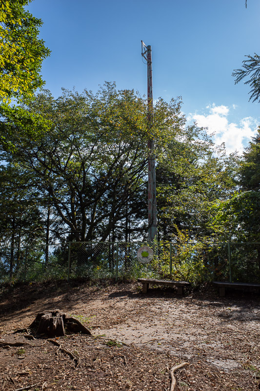
This giant pole for communicating with frogs marks the summit of the last peak for today, Mount Takamizusan.
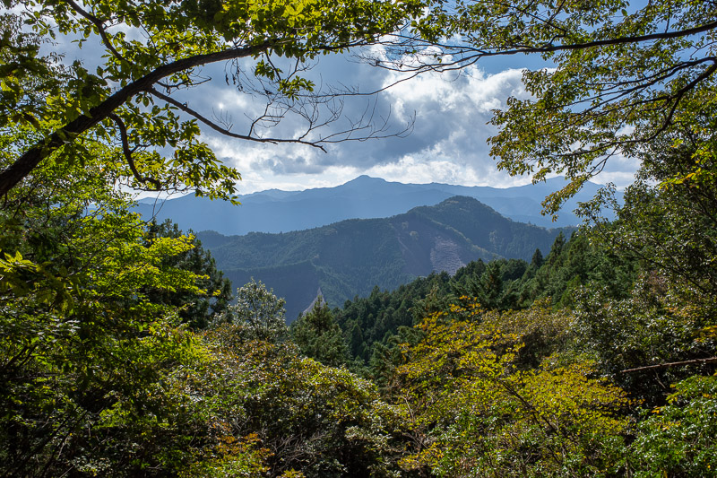
I think that peak across the valley is Mount Mitake, which has a shopping street on the summit!
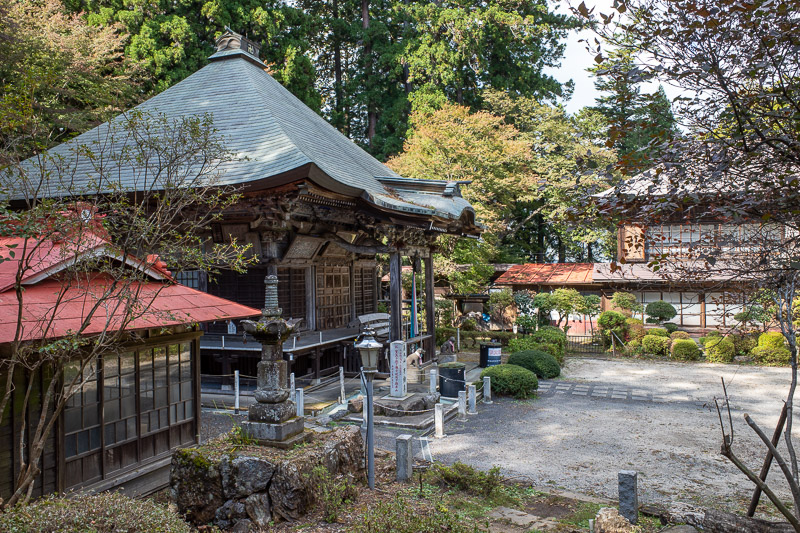
I was amazed when I came across this shrine. It is large and modern. There is no road. Its a minimum 2 hours walk to the nearest road. I am used to seeing shrines deep in the woods but they are not normally as modern as this one, it looks like it could be someones house.
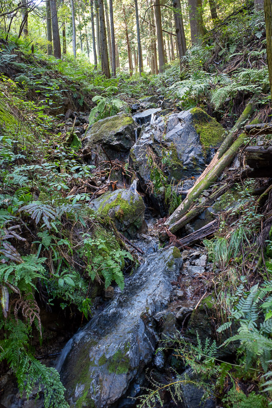
Getting back down to the station was a bit damp and muddy, at times I had to climb down a waterfall like this one.
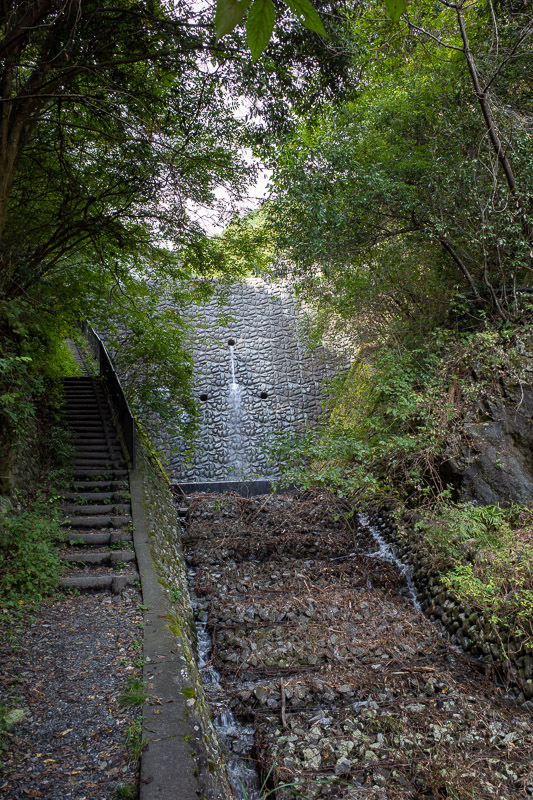
Eventually you will get back to a dam, and then soon after a road that leads you back to the station.
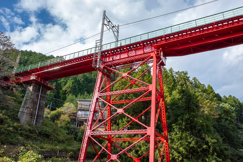
However, I had to appreciate the bright red train bridge. This photo doesnt really convey that I am standing on a bridge to take the photo, and the train bridge towers over the road bridge.
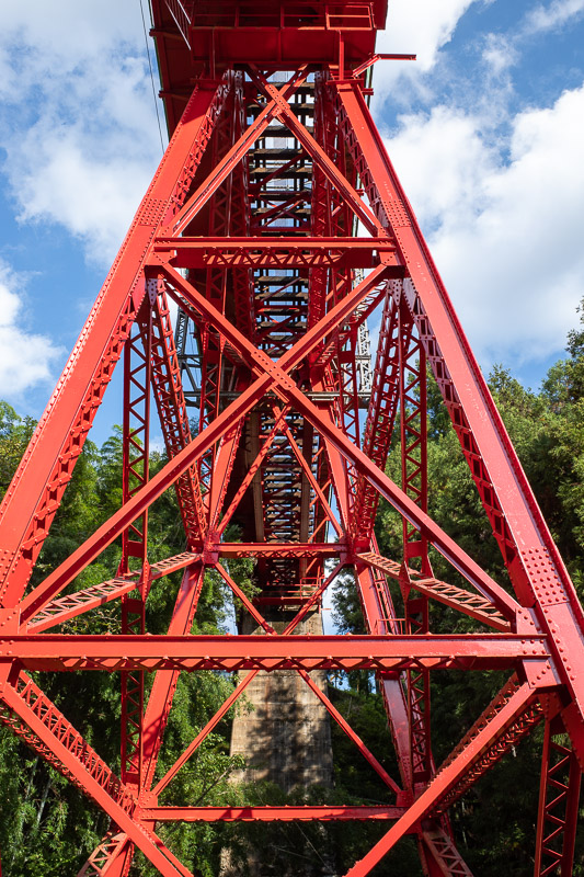
Have a bit more bridge.
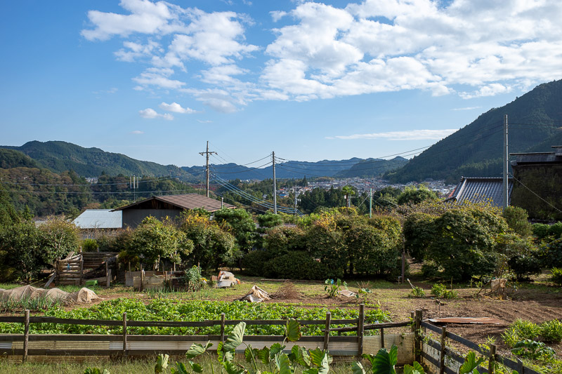
The view from the station back down the valley towards Tokyo was very nice. But I had 20 minutes until my train would come, what to do?
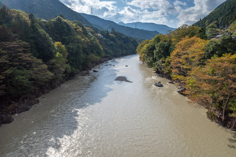
I decided to run back down to the river and take another ravine photo from Ikusabata. Not quite as nice as the view from Mitake, but still, pretty amazing!
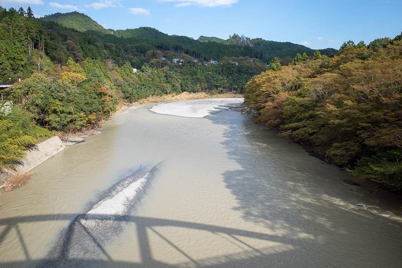
And just like at Mitake, the view in the other direction is not as good.
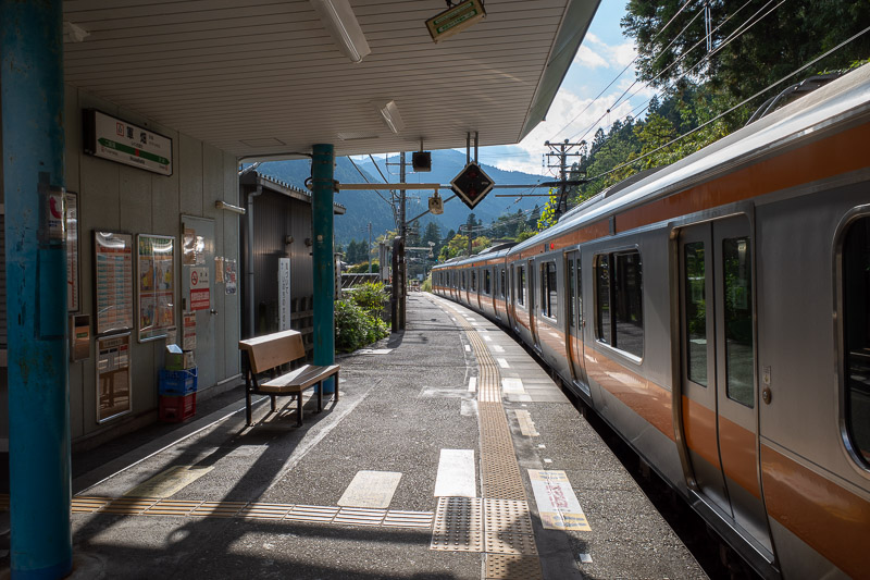
I ran back up the hill just in time for my train, here it is! Today was a great day of hiking, I would happily do the same again tomorrow, but I will probably have a rest day instead.