16 November 2015
Not a bad view
A hiking day trip to Norosan near Hiroshima by train to Kawajiri station
Theres not a lot of mountains near Hiroshima, but I found them anyway.
Todays mountain of sorts, was called Mount Noro, which is in Kure city south east of Hiroshima on what they call the inland sea.
This area has one of the greatest views of all time.
Getting there, required 3 forms of transport, first the old streetcar to the main station, then the Rapid Express to a place called Hiro which is just past Kure, not sure whats rapid or express about it as it seemed to stop at all stations, and then finally the local single carriage train to a place called Kawajiri, which has a supermarket.
This area of Japan is famous for ship building, in Kure itself there is a Yamato museum as they built it there before it did a titanic and sunk on its maiden voyage, and also a submarine musuem, and a whale meat museum because apparently the navy popularized eating it.
There is very little information online about how to go up the mountain, I just decided to head up hill and see where that went.
I took a series of wrong turns which probably doubled the length of my adventure, but the view was excellent for much of the day.
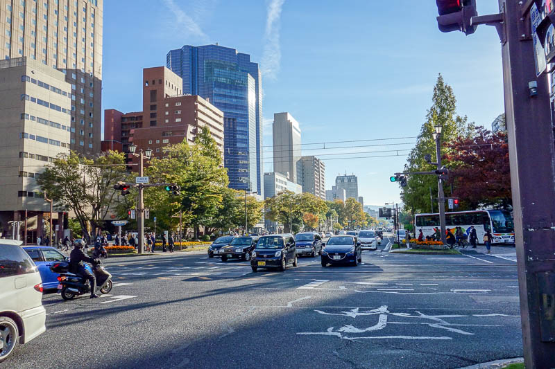
My hotel is on this corner. As you can see, Hiroshima is very picturesque.
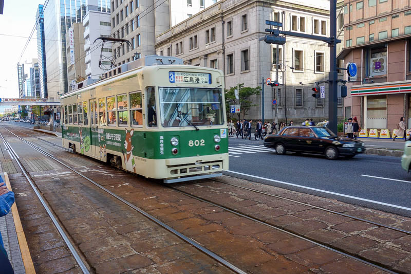
One of the older, but not the oldest kinds of streetcars still in operation. Apparently Hiroshima is a living streetcar museum, and they have bought up others from cities all over Japan as they are retired.
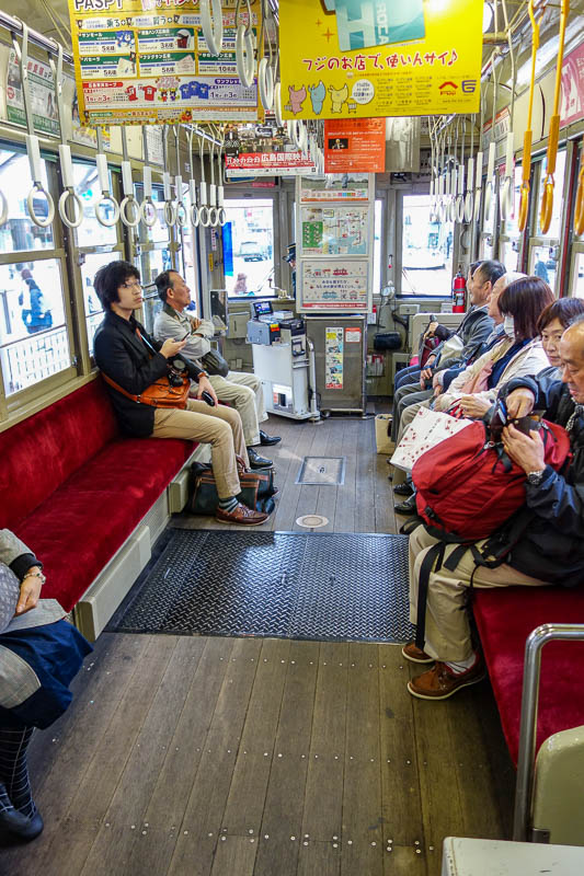
The inside of this one has a wooden floor, and absolutely no suspension. I thought it was going to jump the tracks. The announcements tell you to hang on, listen to them.
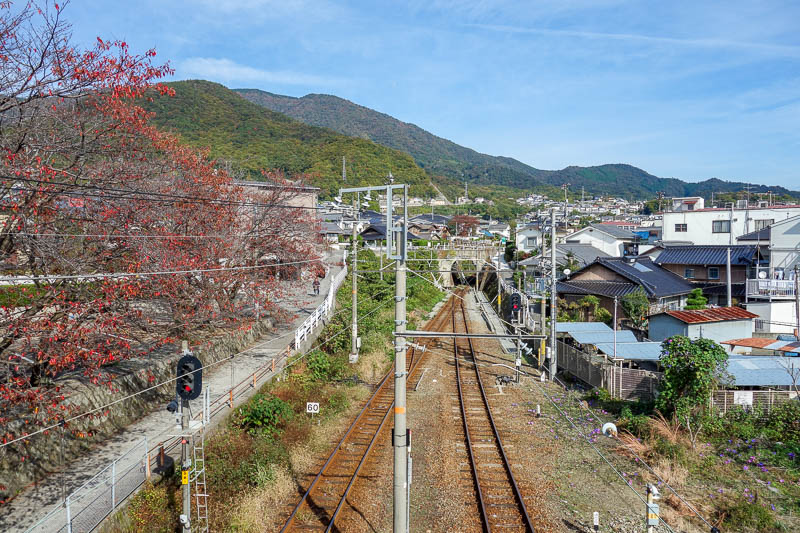
About an hour later, I arrived at Kawajiri, after what must have been the most impressive train journey I have ever been on.
The rail hugs the coast, which is mountainous, with a series of cities, islands, bridges and tunnels. At times the train slows to a crawl due to the tightness of the curves.
Most of the line is only one track, you have to pass the train going in the other direction at the stations.
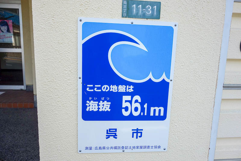
Most buildings in Japan tell you how much further to go to escape the Tsunami.
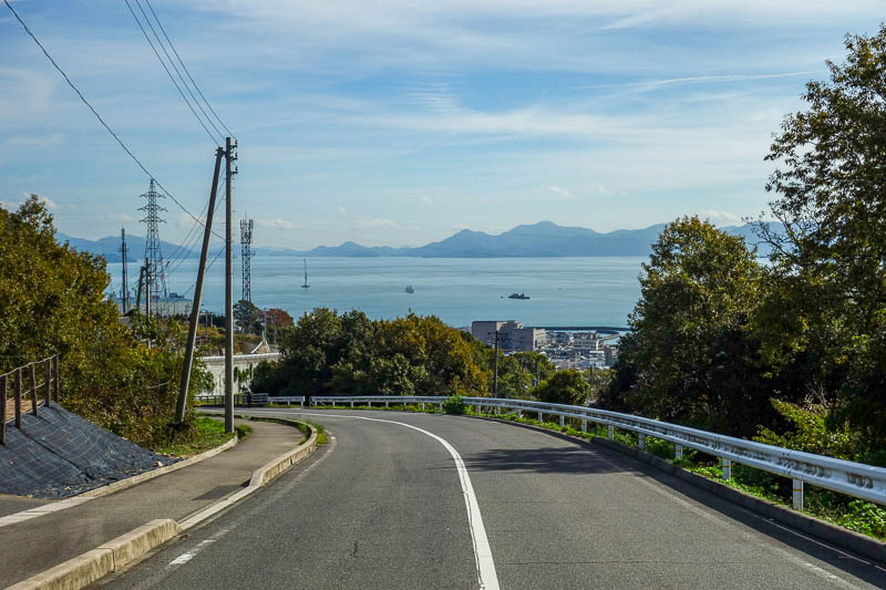
I was never sure where I was going, this road went up hill in the direction of the mountain peak, according to Google. The view was already good but I didnt want to walk along the road.
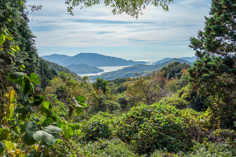
As soon as I found a path, I took it. I wasnt sure if it was an official path as it was very overgrown, and went through some abandoned small farm areas.
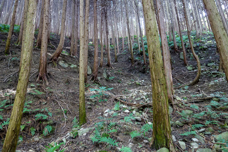
So I detoured again and went up through the forest. This part was fun!
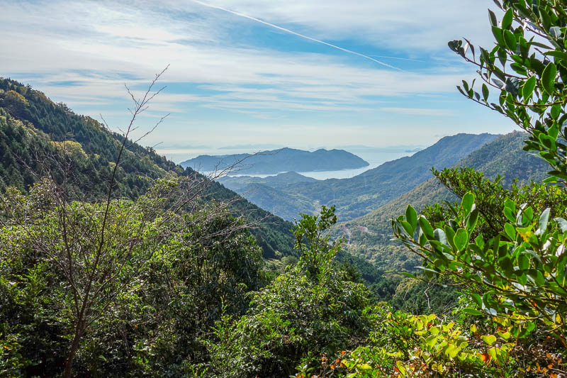
Eventually I came to another path, and started to appreciate the view.
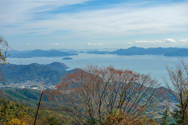
Still appreciating. This mountain wasnt very high, but the way I went up it made it exhausting!
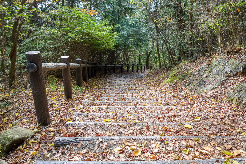
My overgrown unmarked path met up with this. That would be the real path then.
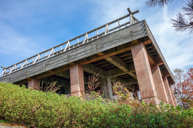
I knew you could drive to the top around the back of the mountain range, so its no surprise theres chalets, vending machines, toilets and lookouts to greet me once I haul my sweaty self up the last bit of the ascent.
There was no one here, and I saw no one all day on the trails. The chalet was closed, there was one car in the car park. The vending machines were working fine though.
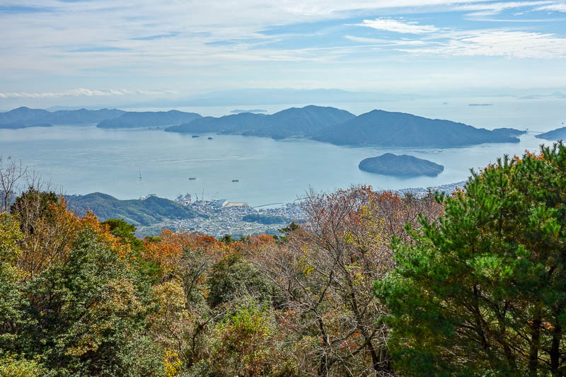
View from the top.
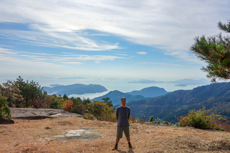
I went down the more official route I spotted earlier, which was a mistake. Here I am at one of the many lookout spots. In my shorts. Its hot here!
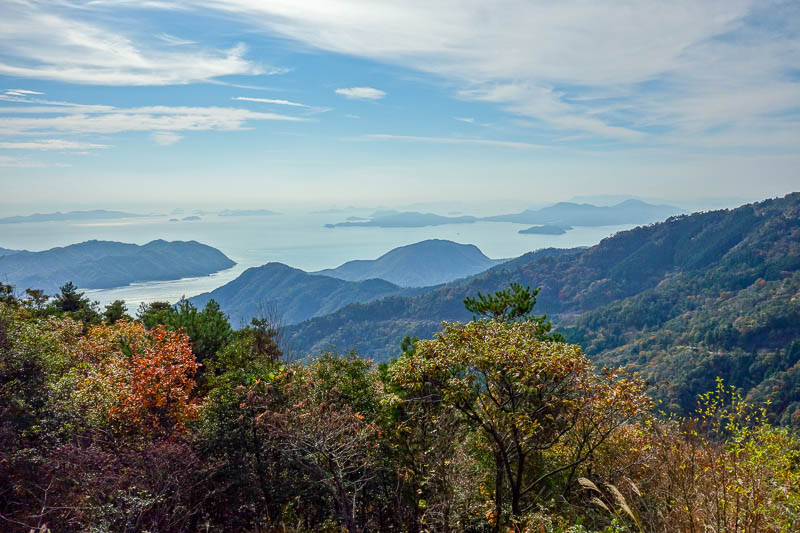
There were a lot more opportunities to appreciate the view on this path. I now realise this photo is almost identical to the one I ruined above with me in it. I am proud to offer both options.
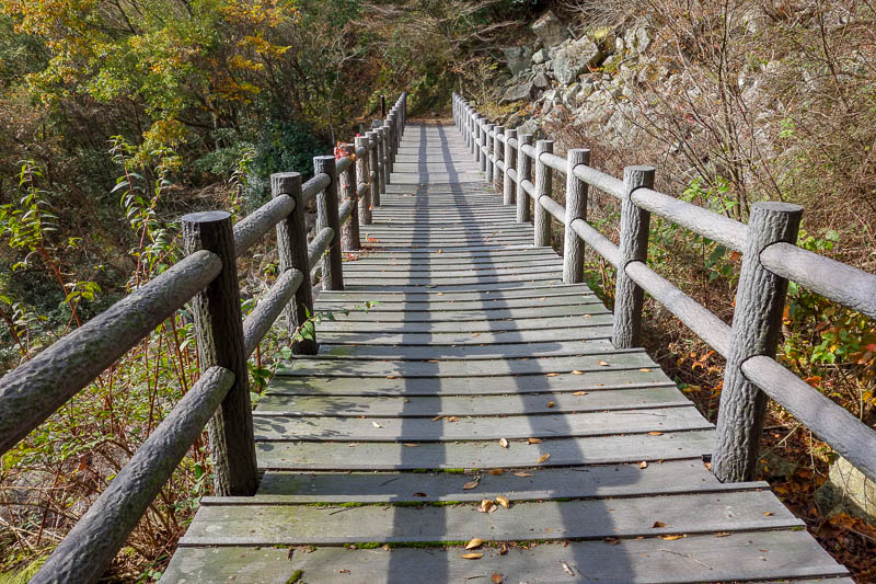
And there were bridges made entirely of recycled plastic.
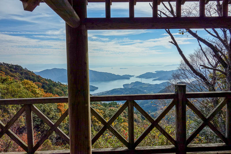
And a hut made of plastic too. Unfortunately, this is where the path ended. I had to follow roads for the rest of the way down.
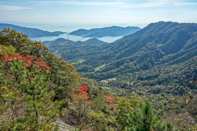
It was a 12km journey! Every now and then I would step off the road to let a motorbike go past whos rider was attempting death by riding off a cliff at 150kmph.
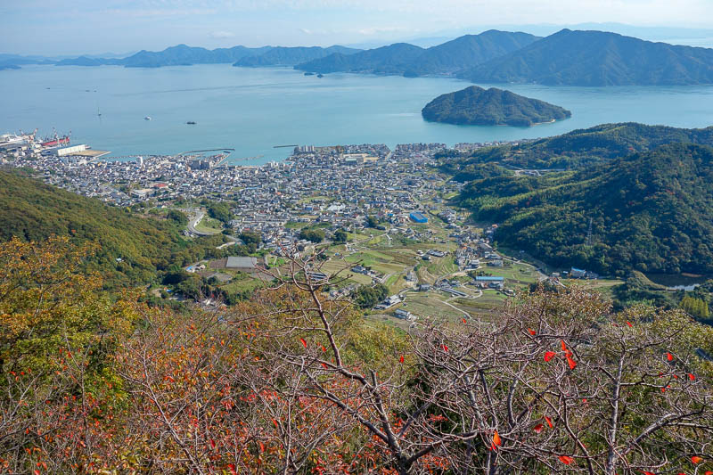
Once I rounded a bend and spotted the town, I realised I still had quite a way to go, so I jogged the rest of the way. The view remained amazing.
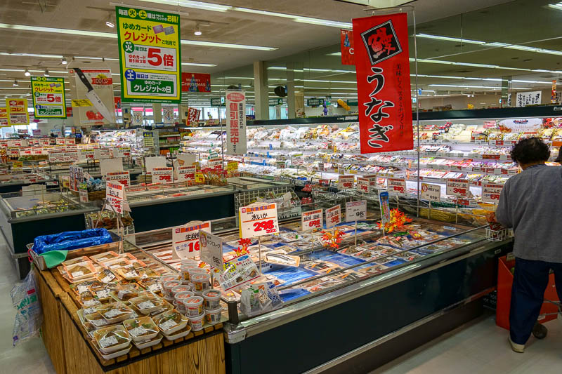
Once I got back to the station, I had 40 minutes to kill. Not to worry, the towns only store is a supermarket. I had so much fun looking at everything I nearly missed the train!
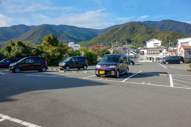
With the sun now at my back, it was a good opportunity to take a photo of the mountains that gave me such a good view all day.
The main peak I went up is near the right edge, but the road down snaked around various valleys and ridges all the way to the left edge of this photo.
Mount Noro is excellent, not sure why there isnt more info on the internet about this day trip.