31 October 2023
Once more between the tracks
Musashi-Itsukaichi to Mitake hike again
I did this exact hike in November 2017. I remember enjoying it a lot so I repeated it today. I also enjoyed it today.
The hike starts at the end of the Musashi-Itsukaichi line, at the station of the same long hyphenated name, and ends at Mitake station on the Okutama line. Which means I hiked over the mountains from one train line to another. This is the sort of thing that I find exciting to do. There is no road joining them either.
All up it is about a 20km hike including the descent down the road from Mount Mitake to Mitake station. You can take the cable car / funicular railroad down from there, but that is not my style.
Despite the long length, it is a fairly easy hike, despite having just over 1000m of vertical ascent. There are 3 peaks to go up and down, Aso, Hinode and Mitake. Much of the course is flat and smooth, so you can trail run to save time.
Prior to Hinodesan, I passed only 1 group of people, after that you run into lots of people that came up using the cable car to visit the temple and got bored of that so decided to go on a 'hike' down the stair case (photos of stairs below).
In other news, right now on Japanese TV there seems to be a hostage situation unfolding live inside The Warabi Post Office which is in Saitama, north of here. I could go and cover it live for Australian TV?
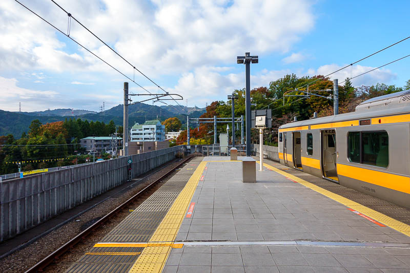
This is the Musashi-Itsukaichi station which really needs a shorter name. It is a pretty large town at the base of the mountains at the end of the train line. Quite a few school kids rode the train out to here to go to school.
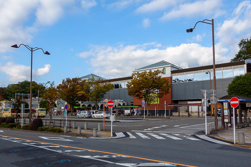
Station as seen from the outside. I found a convenience store to buy my supply of muesli bars and pocari sweat for the day.
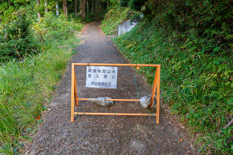
Pedestrian ok!
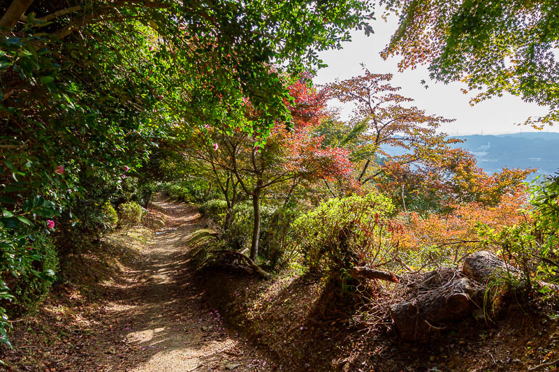
The first part of the hike is steep, but on a concrete path to this semi manicured garden area. I remembered it from last time.
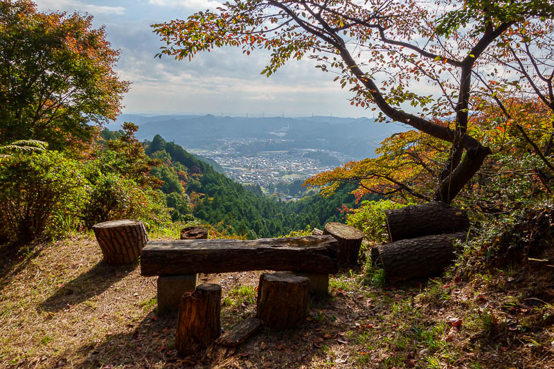
Good view, better than the actual lookout in the photo below this one.
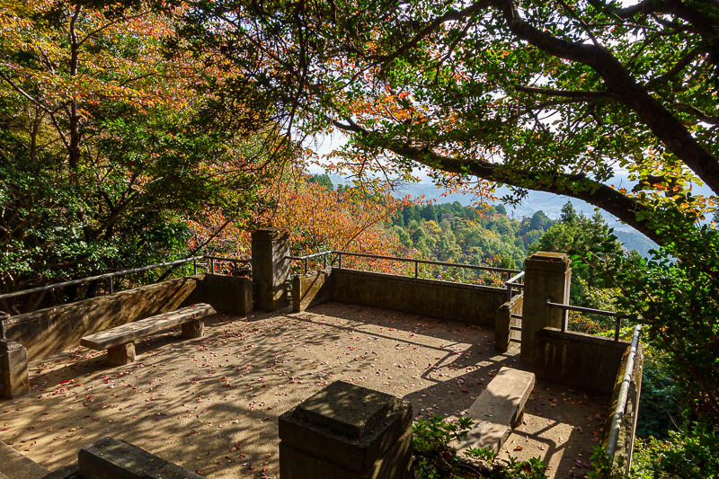
The lookout is still pretty good. Sun was still out at this point. That would change.
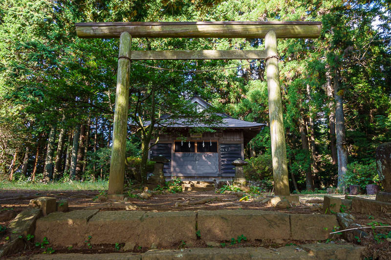
Obviously there is a shrine. Last time I got a bit lost here looking for the path behind it to take me to the mountains beyond. I think they have improved the signage since then.
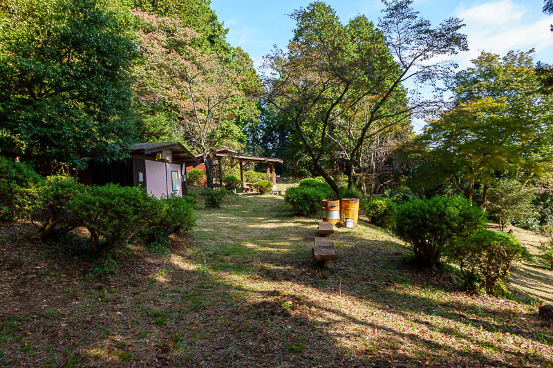
There are even public toilets in the garden area. No one at all around, so I just urinated in the open like a filthy animal.
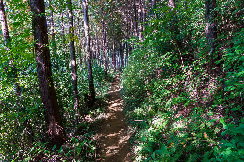
I tried not to take too many path shots today! The paths were often smooth like this, and generally in tall cedars, many areas are due to be logged, or have been logged, and have probably been planted specifically to be logged in the future.
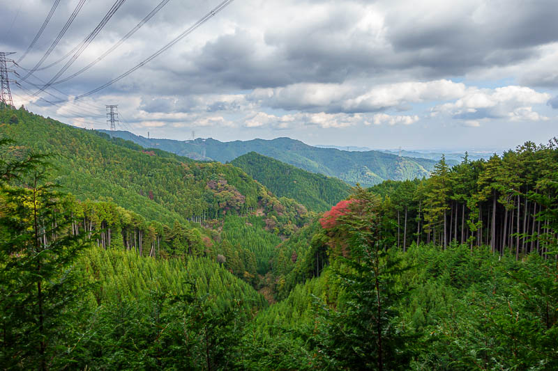
Signs of logging, and wires. I also remembered this from last time, the new trees have grown a lot since then.
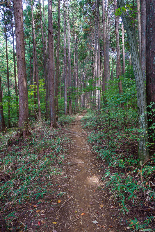
OK, a bit more path.
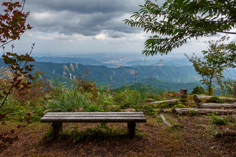
This is the summit of Mount Aso. Getting grey now. Tokyo in the distance. There are paths to bypass both Aso and Hinode if you just want to get to Mitake without going up and down, but obviously, I like to go up and down.
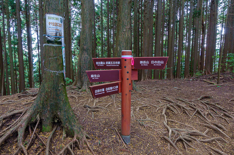
There are quite a lot of paths through this area, 5 of them meet here.
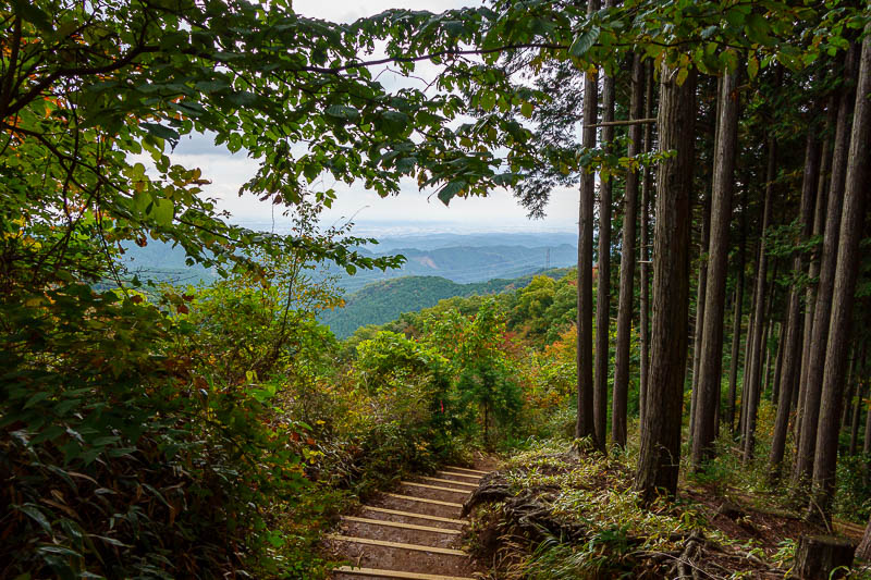
Getting close to Hinodesan now, steps appear...
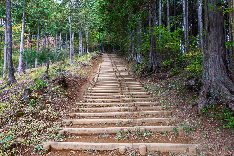
Lots and lots of steps.
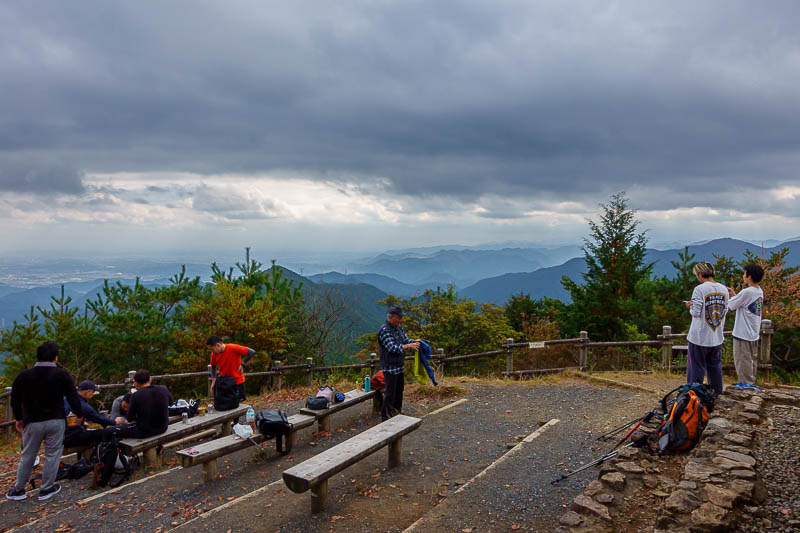
Here is the summit of Hinodesan, not a great view really.
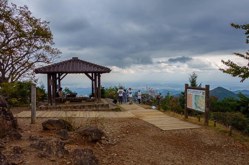
I stopped for a muesli bar.
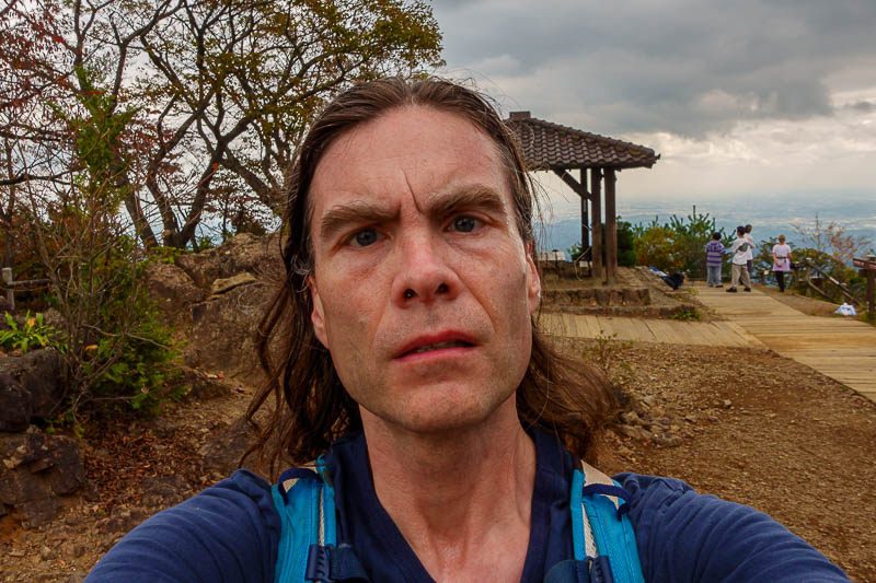
And took the required sweaty selfy. I put the same still sweaty clothes back on from 2 days ago, I will probably grow a new species of fungus eventually.
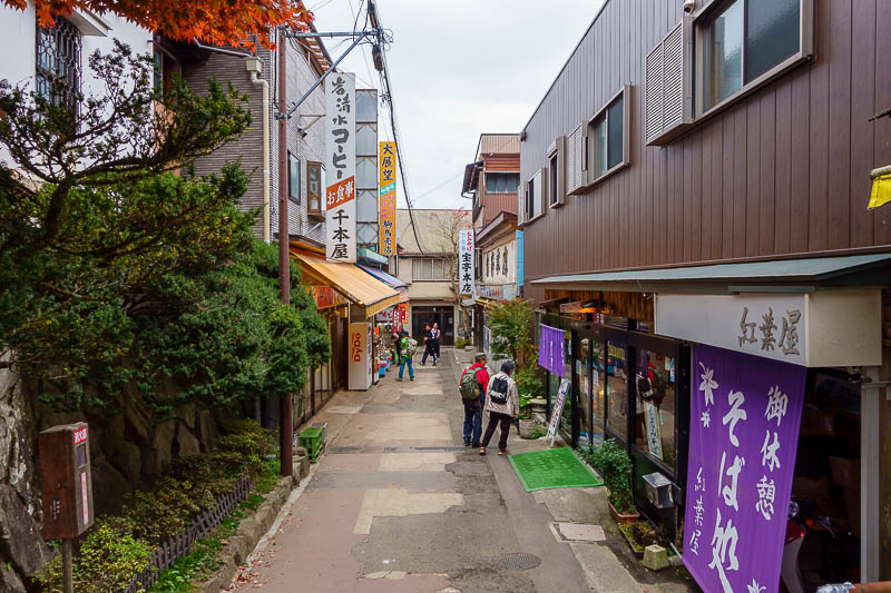
The summit area of Mount Mitake is actually a little village below a shrine, with shops and restaurants. Quiet today, horrific on weekends.
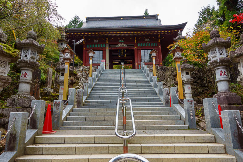
Time to start the ascent to the shrine. The priests were growling through a P.A. system to warn all those who approach.
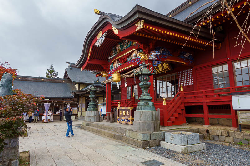
Main shrine.
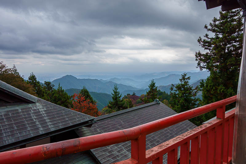
Not a lot of spots for a view from the summit, this is the best I could do.
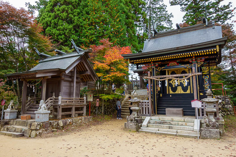
A sign says this is the most sacred part of the complex, no dogs allowed. Also no drone.
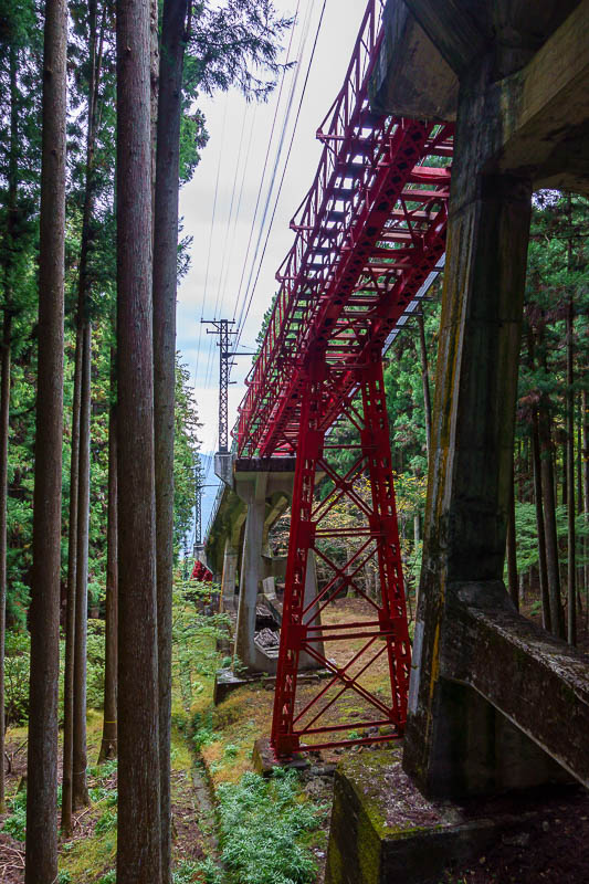
Time to start my descent, avoiding all forms of transport that you have to pay for.
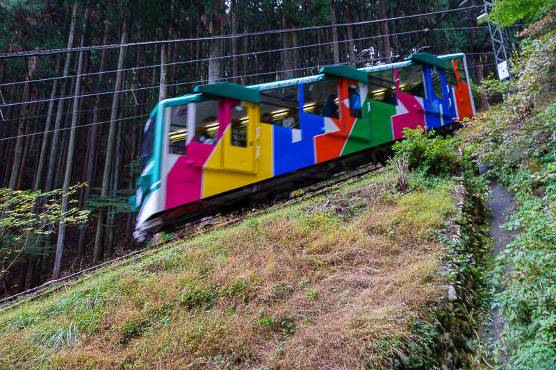
I actually got a photo of it this time, a blurry photo. Parts of the line are on the top of poles as per the previous photo, parts are on the ground.
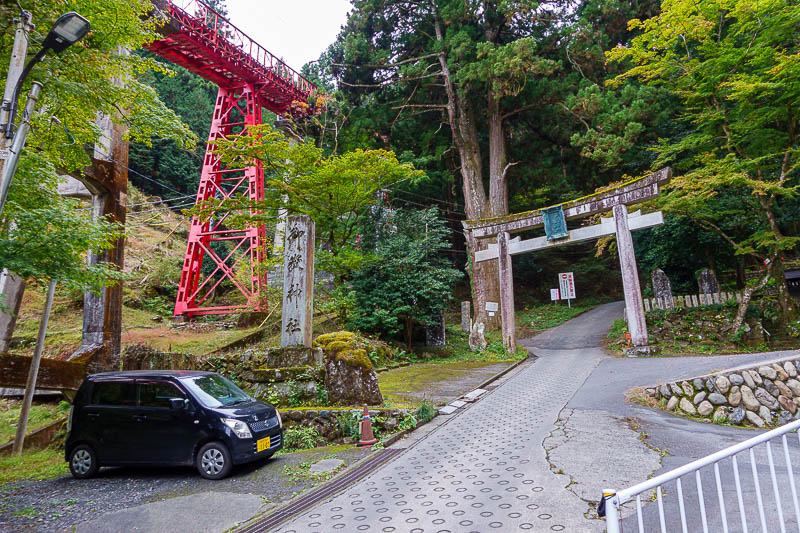
Once you are at the bottom, its still a couple more km back to Mitake station. There is a bus waiting for the cable train thing, but of course, no bus for me!
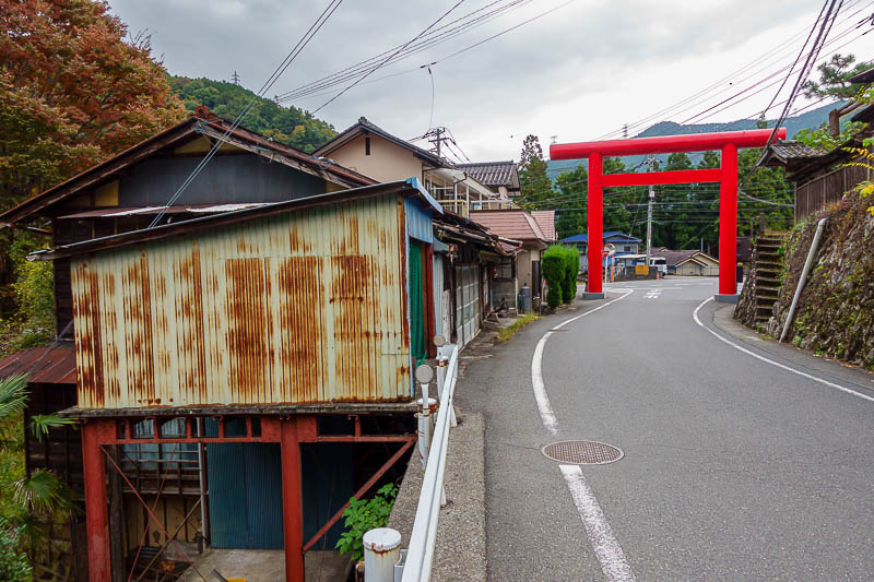
Official symbol to alert tourists that there is an opportunity ahead to spend money.
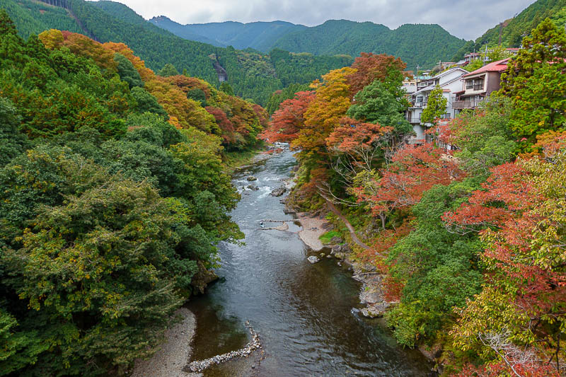
OK, I take this shot on every trip. It is Mitake gorge. My previous shots on sunny days are better than today's, but it is still a nice photo.
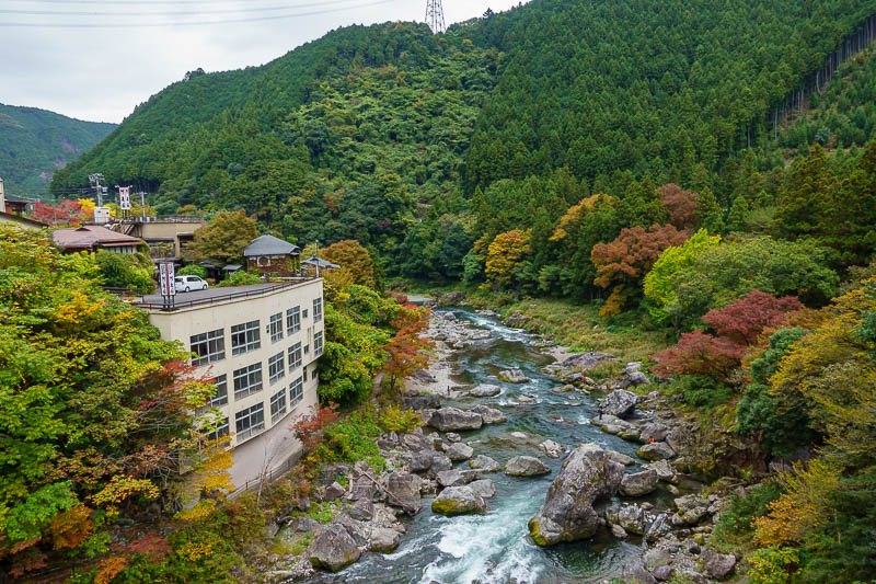
Same location, looking off the other side of the bridge. A few kayakers today. Apparently kayakers is not a word. I beg to differ.
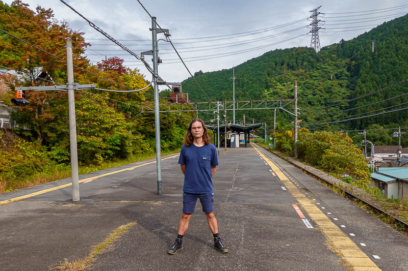
I had to wait 20 minutes for a train at Mitake station, which means it is time for 'the stance'. Should have gone lower. Why do I look fat?
Due to excess exertion in the day, tonight will be a smaller outing, do not expect too many pics.