13 November 2024
Slippery and ropey
Hinoyama from Gotanjoji temple to Oshio station
A rare second day of hiking in a row due to the dinosaur museum being closed on every second Wednesday. I woke up to unexpectedly wet streets and clear blue skies, then fog, then cloudy, but no rain.
The hike today was not too long, but involved a lot of slippery rocks and ropes, so it still took a while. Let's get to the stats and then explain the convoluted journey with the pics.
19,400 steps (not even 20k!)
11.65km (shortest so far)
4 hours 13 minutes
775m vertical ascent (a lot of rope)
1,292 calories burned.
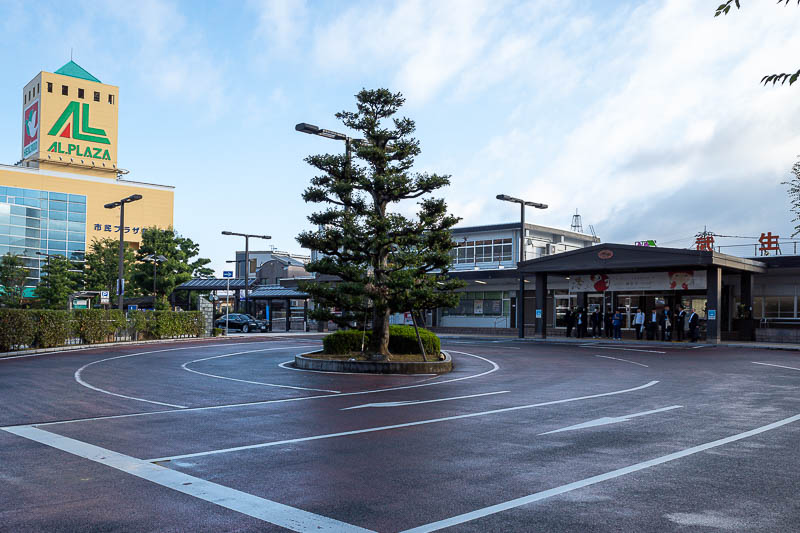
I took the Hapi line south to Takefu station. I deliberately took a train that got me there 30 minutes before one of only 2 buses for the entire day would come so I would have time to go to the convenience store and find the correct bus stop. Takefu looks like a big enough place, 2 small department stores attached to the station, but no convenience store nearby. Nothing open at all nearby, no bakery, nothing. So I had to do a quick run through the streets to the nearest convenience store to get back to the bus stop in time, made it with 4 minutes to spare, with a lot of jaywalking (jay running).
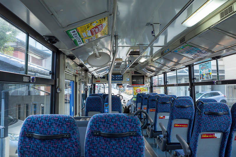
The bus came right on time, and I was the only person on it for the entirety of my journey. So it may only run twice a day, but perhaps even that is 2 times too many.
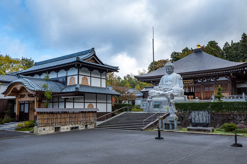
But then I got off at Goanjoji temple (famous for cats as you shall see), and what was there 100m past the bus stop? A large roadside family mart convenience store. I consumed a bonus ice coffee and reflected on my unnecessary run through the streets of Takefu. But at least I got to see most of Takefu.
Anyway, the temple is nice enough, nicest of the many I saw during the day, but that is not why people come here.
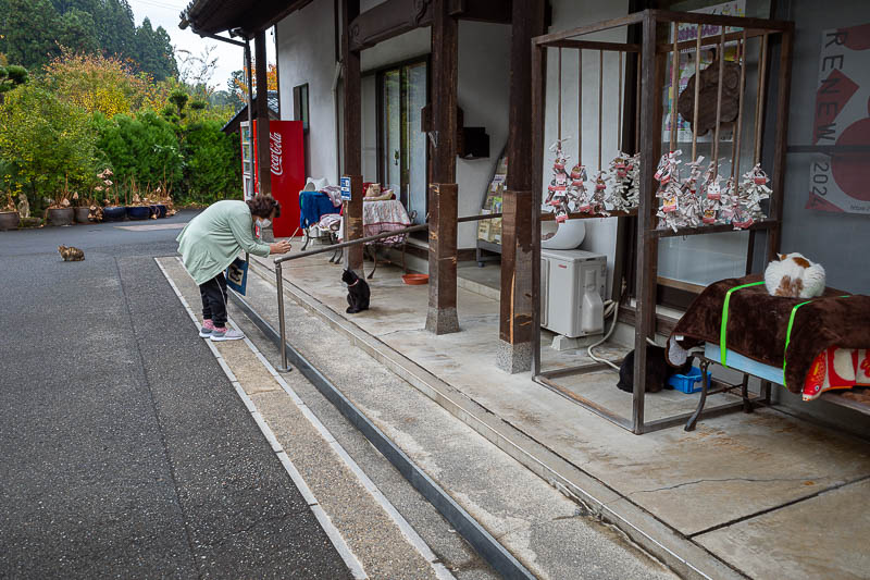
This place is basically a free outdoor cat cafe. All of the cats are very friendly and will not run away from anyone. None of them wanted to fight me, which was a bit disappointing.
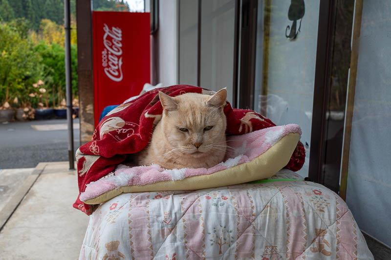
The oldest cat of all.
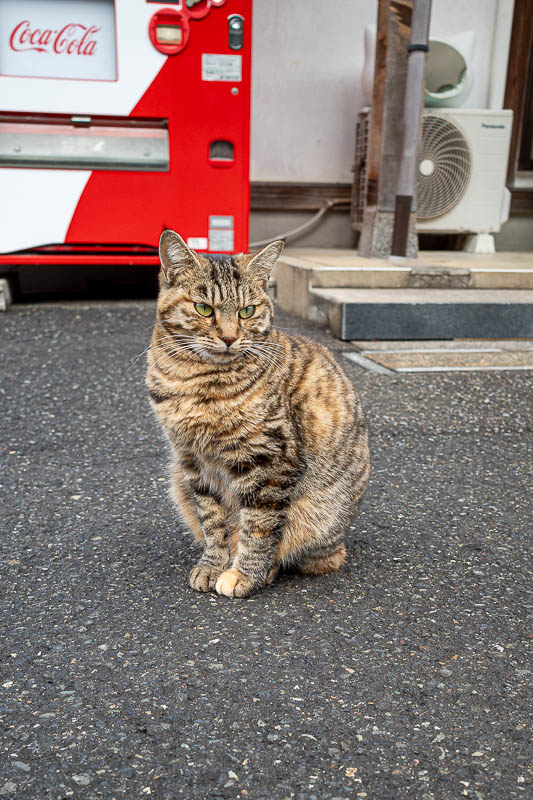
Bonus cat. I ate a muesli bar here, and they all came running over as soon as I pulled it out of my bag. But they all look pretty well fed so they got none of my muesli bar.
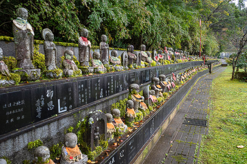
Baby Buddhas. I started my GPS watch from here.
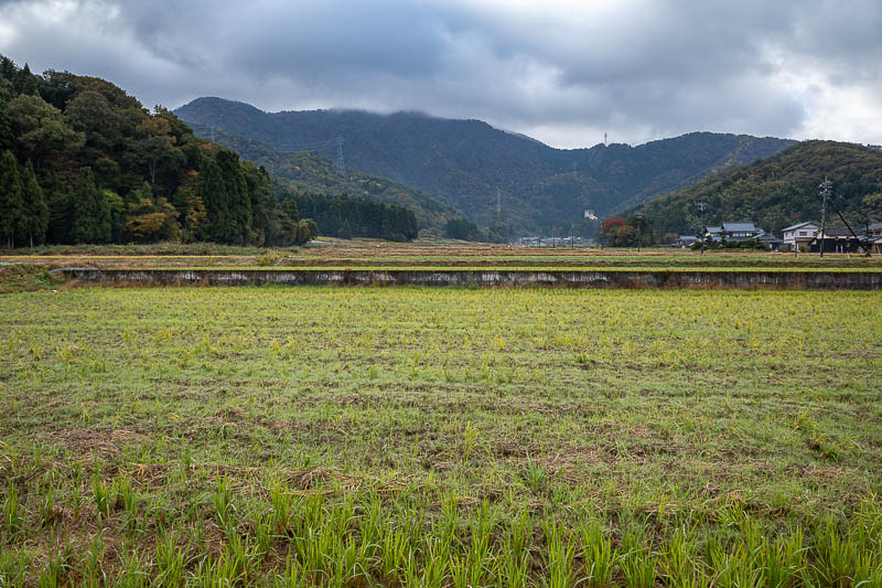
Still a bit of fog around. Main peak for the day on the left of this photo.
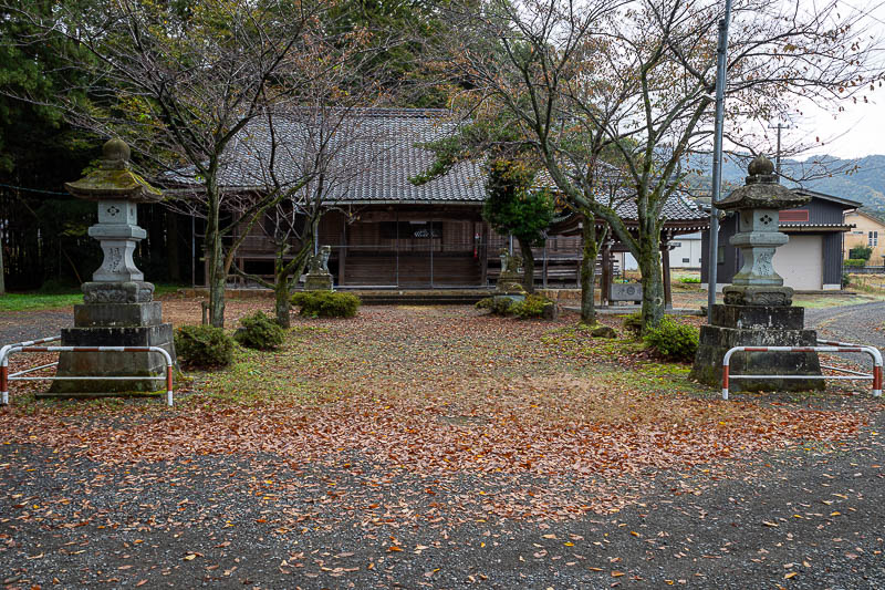
Bottom Hino shrine was uninspiring.
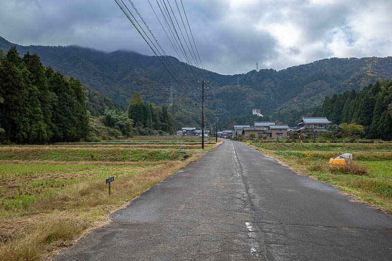
It was only about 1.5km from the cat temple to the start of the actual trail, up this nice road through a 'post town'. At least they claim to be a post town.
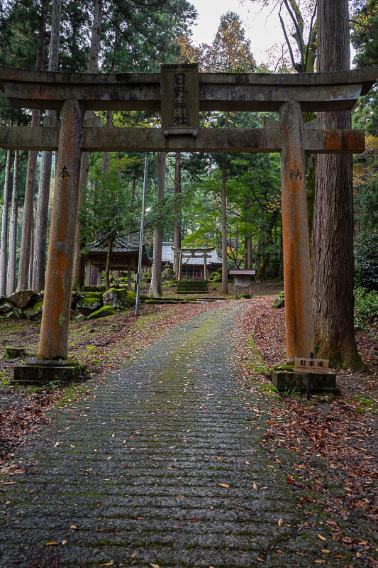
Next shrine. A lot of shrines today.
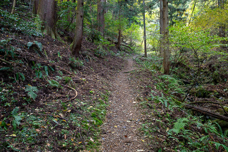
The trail started. No bear warnings! The lower sections were very smooth.
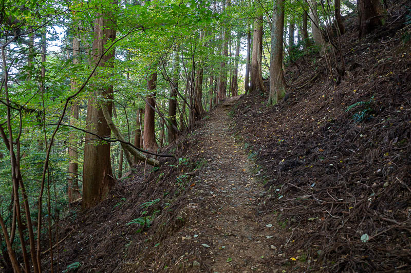
I saw 3 other people on the way up, but then I came down via the non preferred path and saw no one at all.
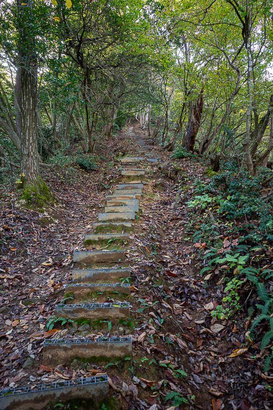
This way up has some steps, but it would not last.
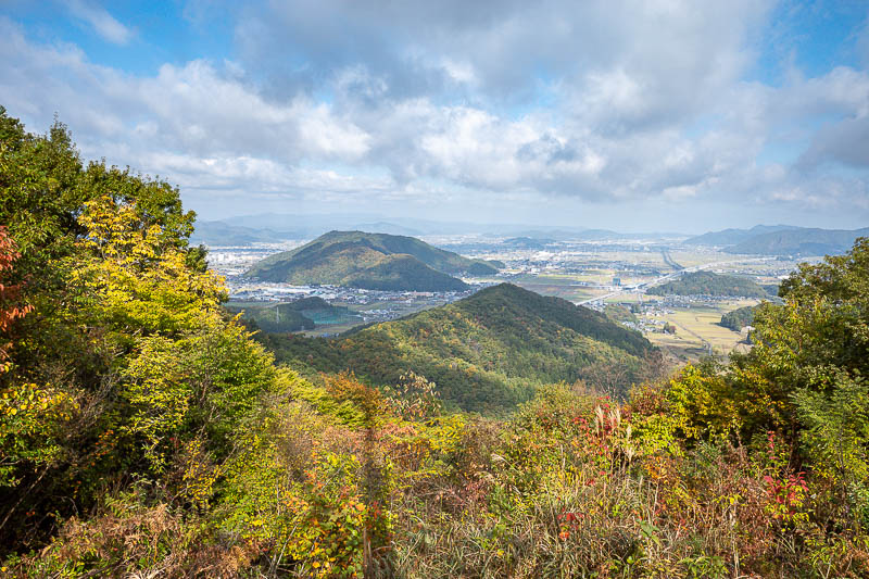
First view of the day. There was a bit of fog around so I made sure to get some shots from lower down. At this point the summit was still in fog.
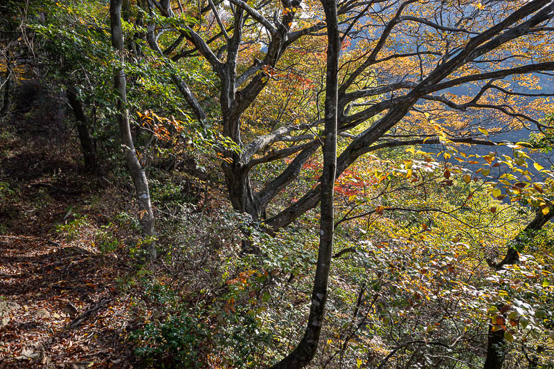
Very colourful again today.
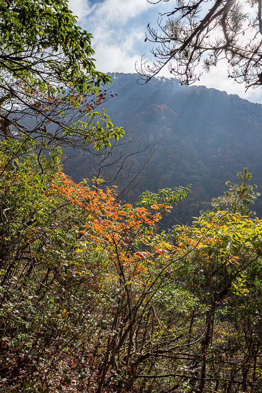
The summit is now clear of fog.
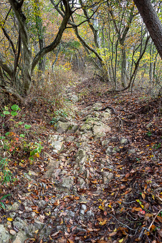
The last km or so to the top was all steep slippery rocks like this, often with a much appreciated rope. It was slow going.
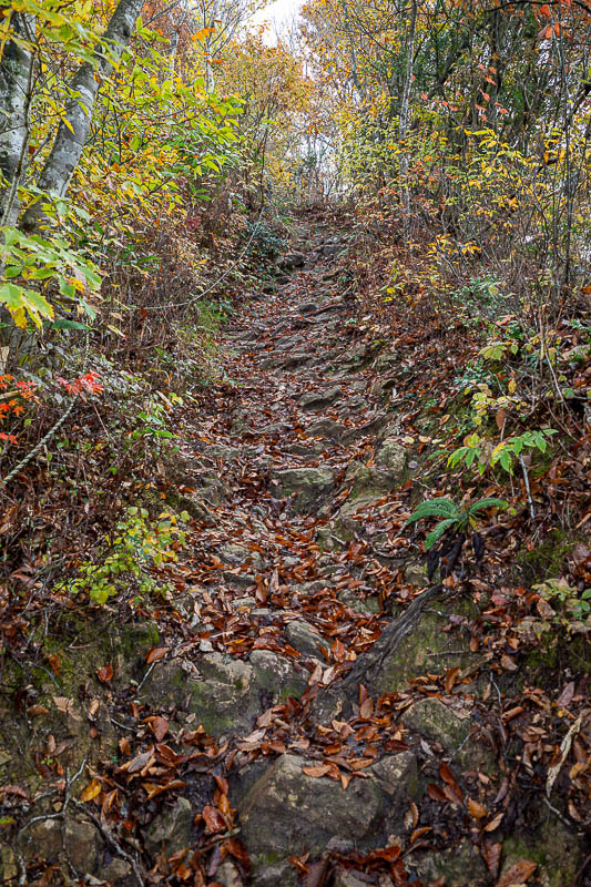
You can see the rope here. Very steep.
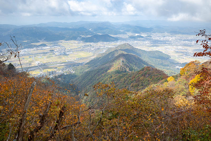
Next view, nearly at the top.
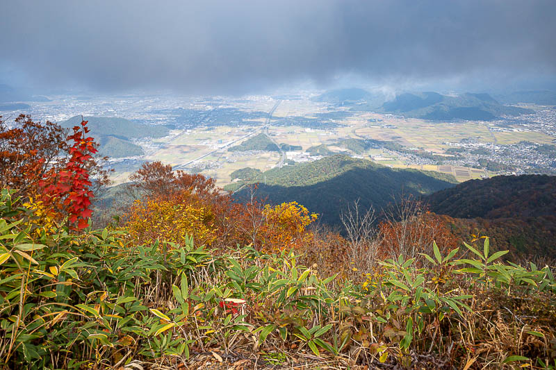
Summit view. I am almost in the cloud.
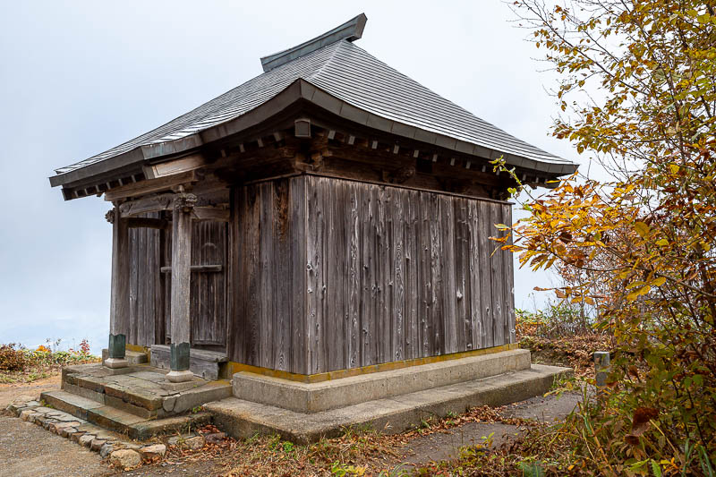
There were actually a few little buildings around the summit area. Unlike yesterday I had somewhere to sit and eat my calorie mate BLOCK.
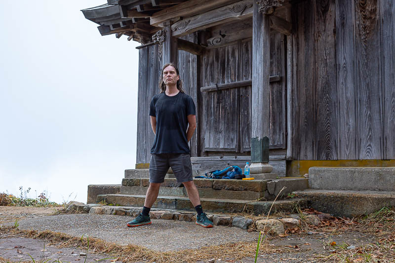
Here I am. I love these Uniqlo shorts, I will buy 3 more pairs.
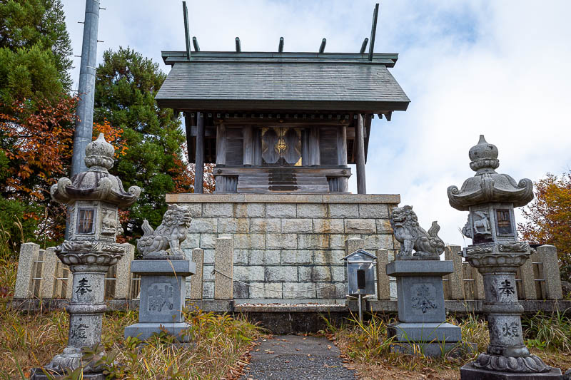
Summit shrine.
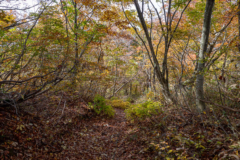
The path down was lonely, but no less colourful. Also no less slippery, a lot of the time there was a rope.
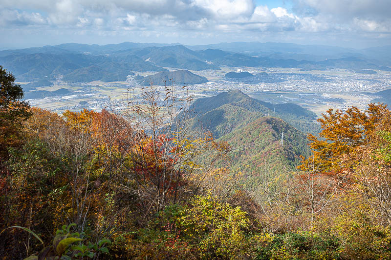
Similar view on the way down.
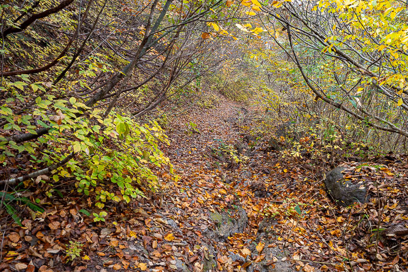
This looks leafy, but slippery rocks await underneath.
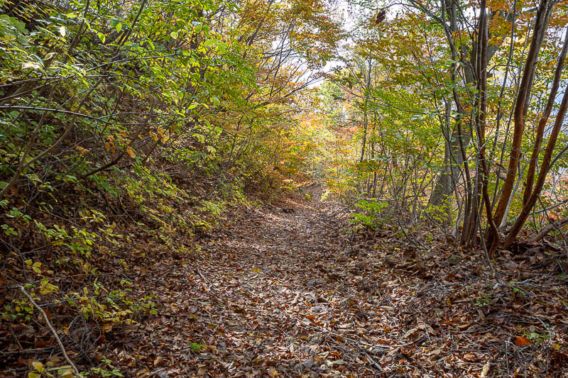
Nearly back to the woods.
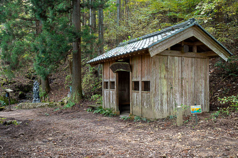
Another rest area. No other people, but plenty of signs that this hike is generally popular. No spider webs.
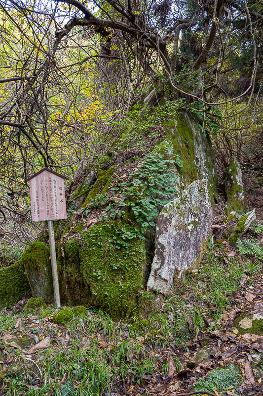
Random rocks were sign posted.
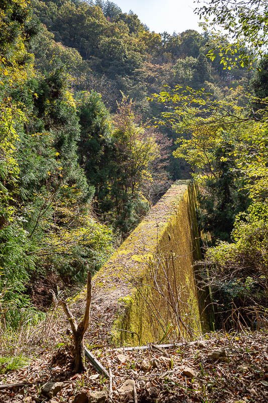
You know you are almost at the bottom when the flood control things start to appear.
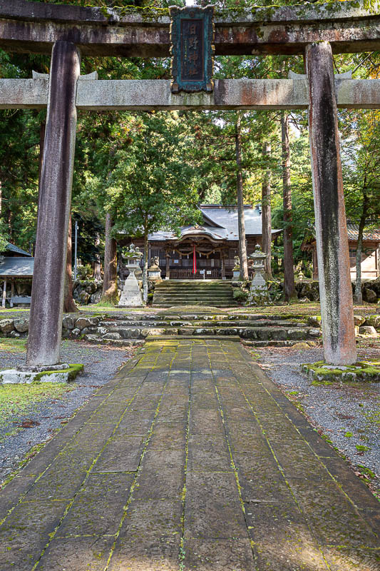
Bottom shrine. The slipperiest of all paths was a flat section along here. I did not fall over all day, but almost did here.
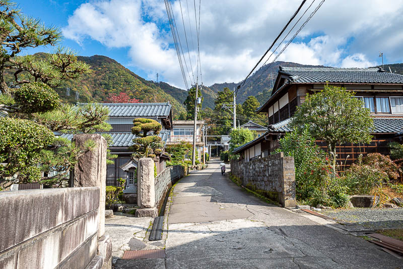
Looking back at the mountains, the old lady you can see here had no teeth but seemed very happy to see me. She had an excited conversation to herself with me.
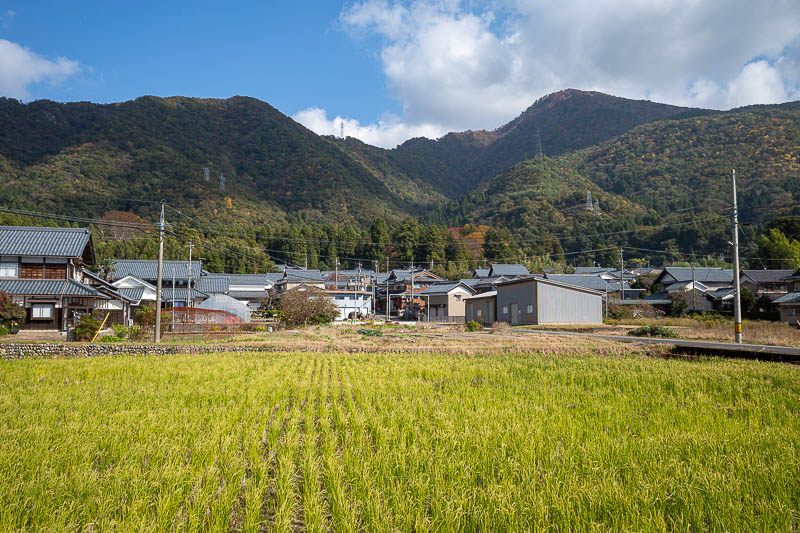
Nice view of today's small mountains, now to check when the train comes.. ok time for more running.
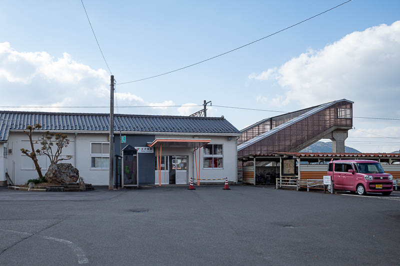
I made it back to Oshio station with time to spare. I should point out that today's trains and buses all took IC card.
After 2 hikes in a row, I guess tonight will be a shorter outing, but I guess that was probably going to be the case in a small town like Fukui anyway.