29 April 2023
I out sweat Taiwanese people 10:1
Hiking Jinmianshan from Wende MRT station
Time for the first hike, a short hike, in the heat. Clearly I need to acclimatise because I was sweating rivers. My gusset filled with sweat on the first climb. Meanwhile the locals have on long sleeves and and look cold. I have not really noticed such a large variation in my ability to force salty water out of my pores compared to humans with slightly different DNA previously.
As for today's hike, it was a Saturday, also I am probably still tired, so a shorter less popular hike was in order to avoid crowds and avoid dying of exhaustion.
It was only 2 hours, but very sweaty. I started my route from Wende MTR station, walked past a lake which has a public pool where apparently someone released a cobra as a joke that was a news story for weeks. Cobra's are not native to Taiwan either.
The hike is famous for the instagram view of the Songshan airport (domestic flights and charter flights to the mainland) with Taipei 101 in the background. The view today was of course, pollution. I stared at my photos for a while, lightroom did not enjoy the skies at all, need more dynamic range damn it! What the hell am I even talking about at this point?
Also the internet in my room is weird, super fast, but then drops out, and at the same time my bluetooth mouse starts glitching. I am being bombarded with an EMP weapon! It is the only feasible explanation.
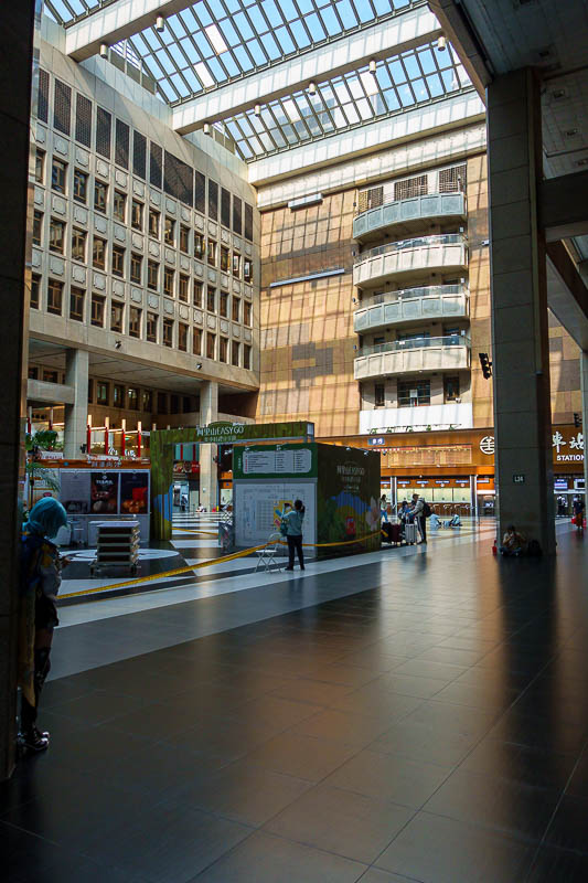
My day started walking underground to the Taipei main station. Here is the main hall. It is vast. A few homeless guys have made it their home.
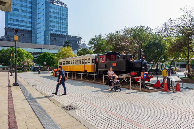
I had to go outside to find my train.
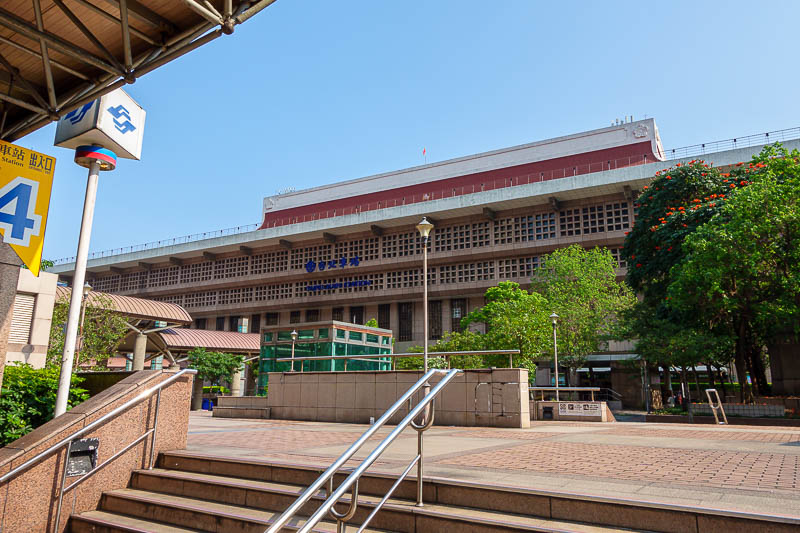
Here is the outside of the station, it is much bigger than it looks here, perhaps from the other side, so more pics of that another time.
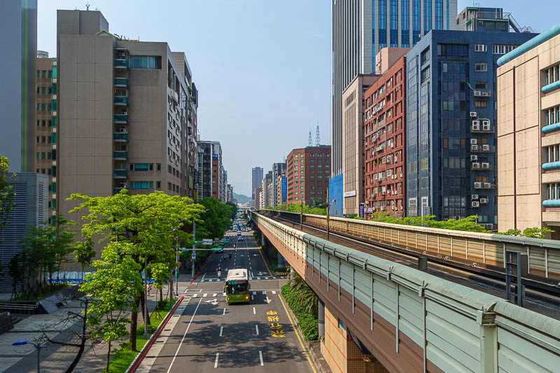
I had to change from the subway to the overhead tyre monorail thing. I have taken this photo before on a previous trip. Sky looks blue from here still.
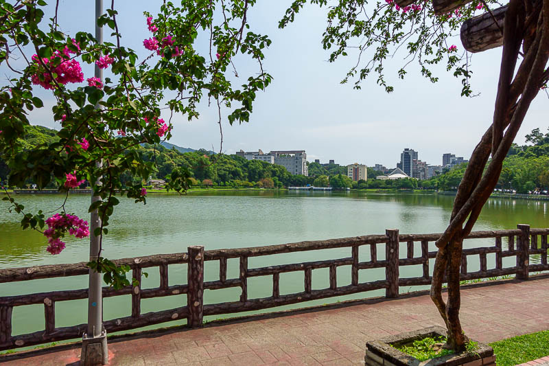
My hike started at the lake, nearby the famous cobra pool. I did not see the cobra.
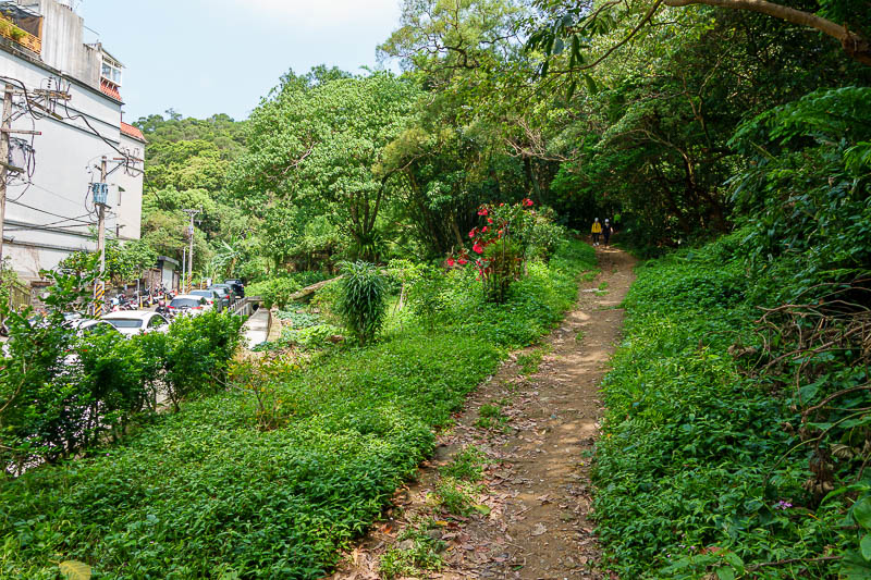
I had chosen a less popular route to go up, longer, easier, and the more popular shorter rock filled rope climbing course to go down. The way up still had people, but not too many, they way down had thousands.
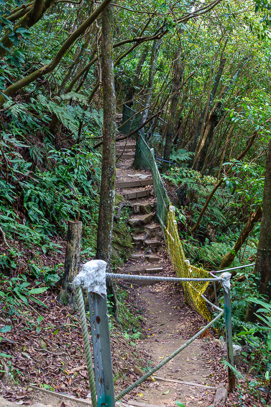
Much of the path today was landscaped like this, but then occasionally there were dangerous bits with no ropes or markings of any kind, plenty of small children were out hiking so I am surprised they do not finish it properly.
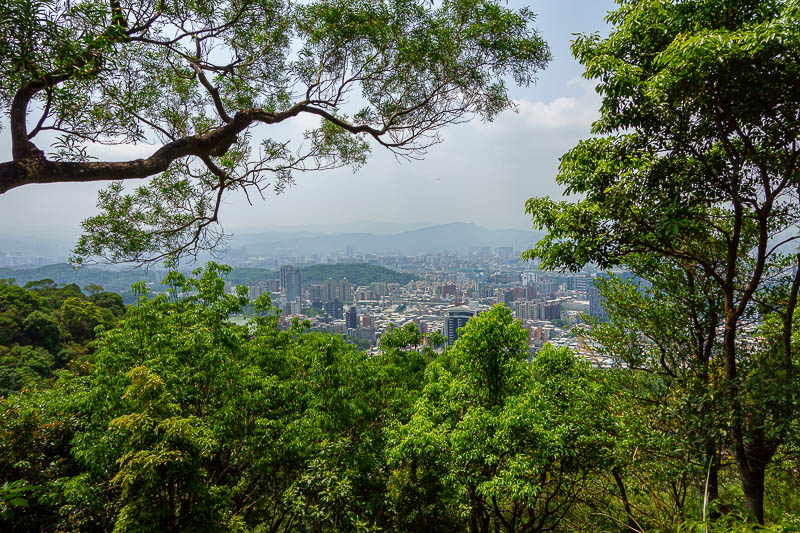
There were quite a few view spots, not a great view, not high enough, and a bit polluted.
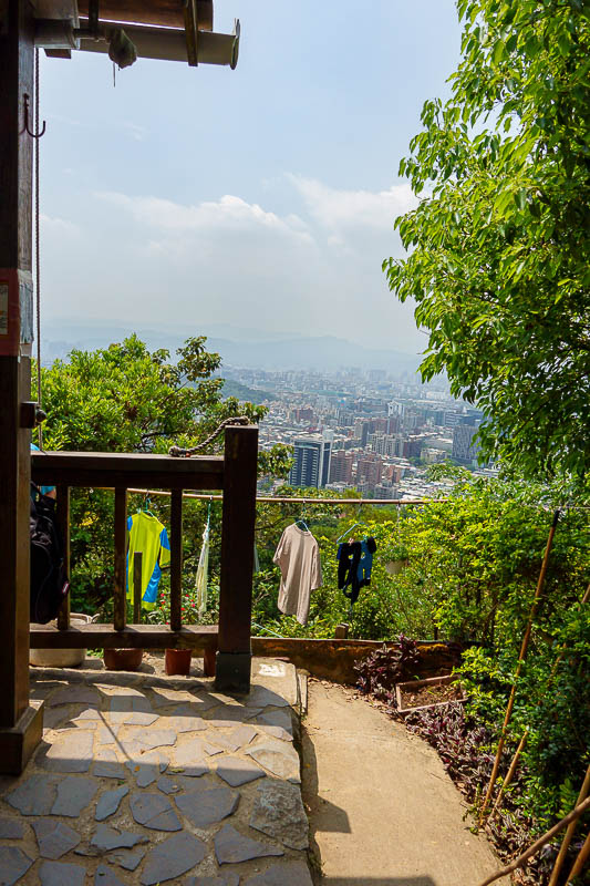
The locals built a lean-to half way up to smoke and play cards. People were keen to ask me if I needed directions, despite my sweatiness. I did not need directions. Old men like to take their shirts off and do a few stretches for the ladies. I joined in.
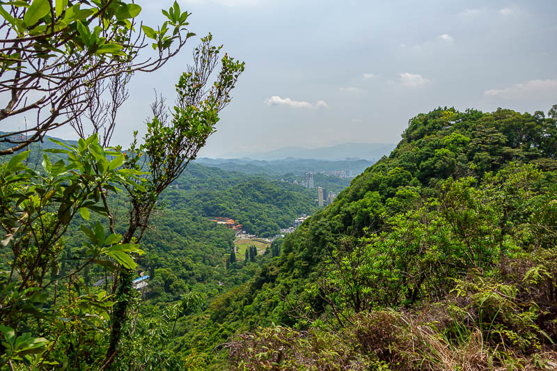
More view in another direction.
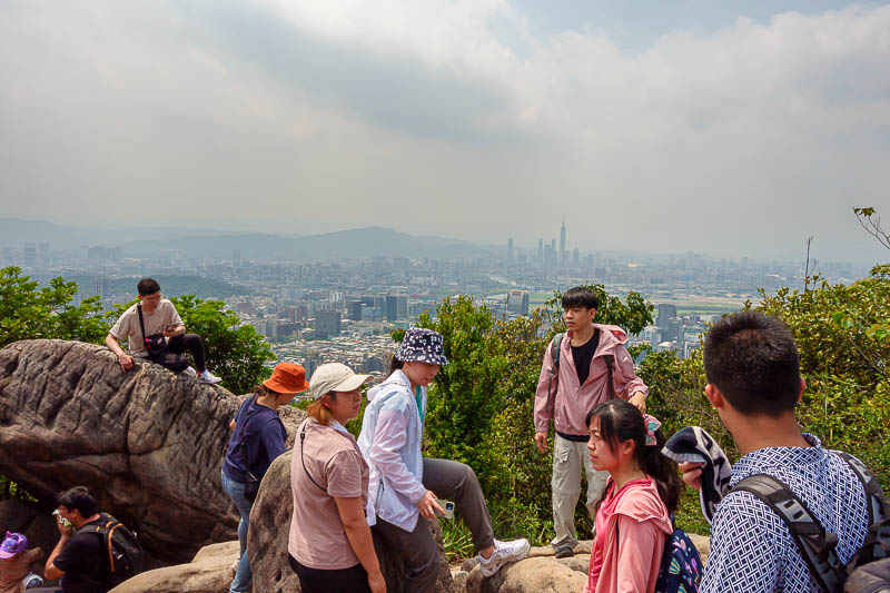
Here I guess is the top. The instagram spot. I think a lot of photos are also taken at night. There were too many people for me to climb up to the best spot to see all of the airport so I moved on.
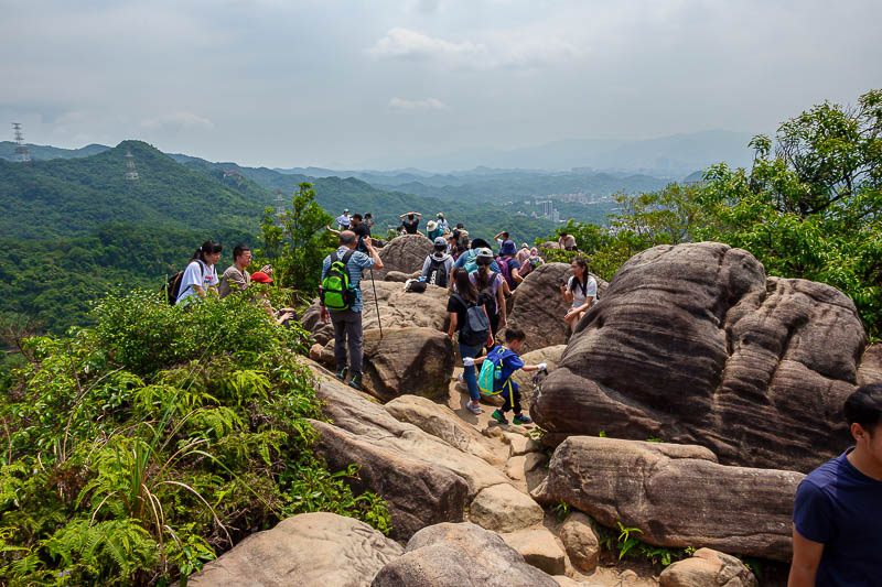
Very busy.
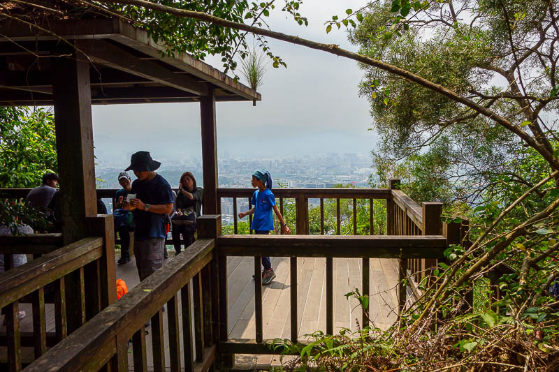
There are lots of viewing decks below the rocky area.
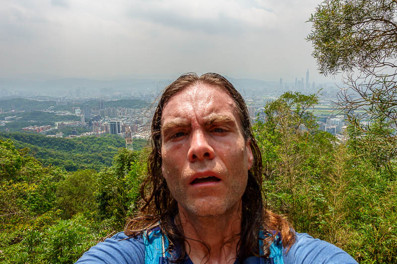
I stopped for the shot. That is a vein on the left side of my forehead. Impressive.
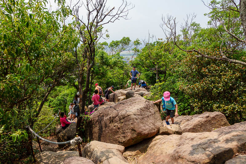
Small children, rocks and ropes. There were some kids who could barley walk climbing up the rocks.
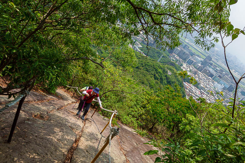
Crooked picture so I dont plummet, also for effect, I am tired of straightening horizons. Actually I probably pressed the shutter when I did not mean to.
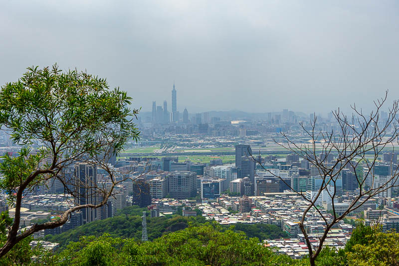
Almost back down. More of the airport visible here.
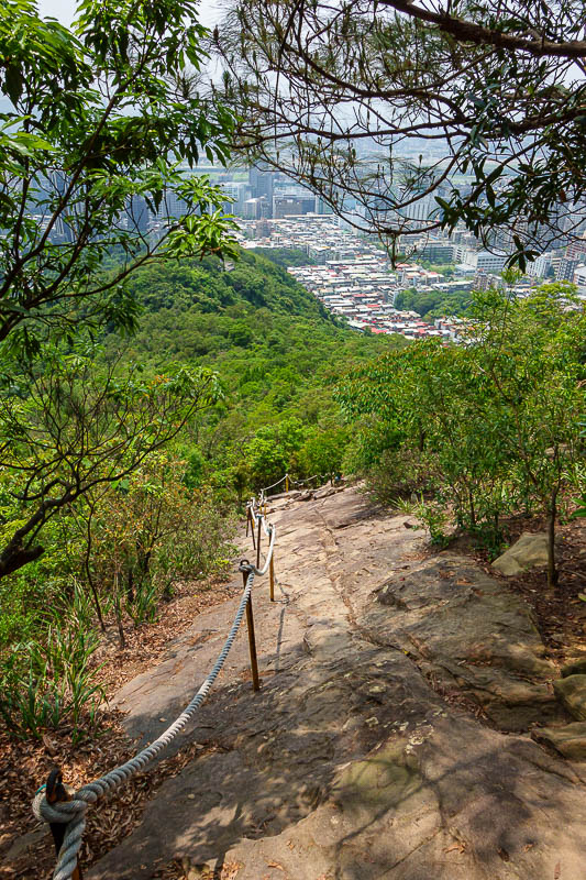
But still more ropes. Actually got this little bit to myself.
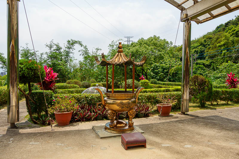
At the bottom is a temple, more of a shed with this incense burning area. Nice garden though.
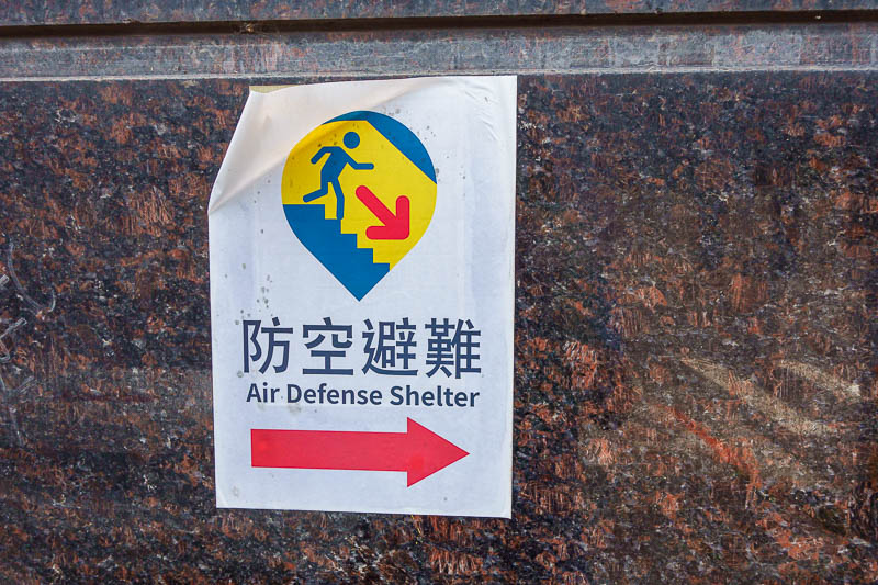
And for my final pic, a variation on the tsunami shelter. It seemed to be some guys basement. Perhaps a variation of the candy van.