17 May 2023
Declining fitness
Dajianshan trail from Xizhi station
My super fancy Garmin watch is angry with my. My vO2 max has declined! This is the ability for my blood to transport oxygen around my body. Sadly, no amount of hiking is the same amount of fitness benefit as actual sustained running. This might also partially explain how I somehow get fat on holidays despite eating 1 meal a day and exercising for hours at a time in the heat, but I suspect that is a lot more to do with the food.
So I should run more on my hikes, so I did that today.
Getting to my hike today was refreshingly easy, subway to the end of the line, change to the slow train, go two stops. No chance of getting mad at a lack of bus.
It was then about a 2km walk to the start of the trail, but on the way back I discovered there is a stone step path that goes down a lot further through various temples that I somehow missed on the way up. Surprisingly most of the journey up to the start of the trail along side the road actually had a footpath. And I urinated in the car park of an abandoned bowling alley for +1000 points. OK time for the pics.
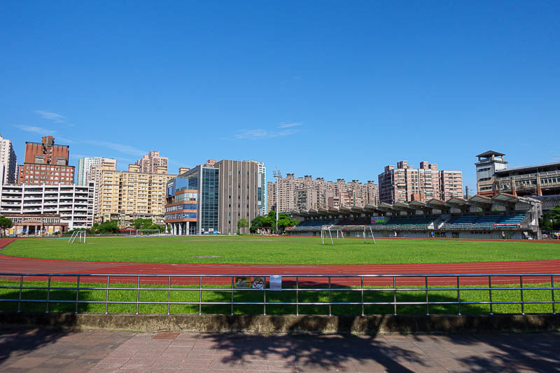
After getting off at Xizhi station, I thought about running a few sprints around the track. Seriously. But since I had just drank 2 litres of water, I decided against it.
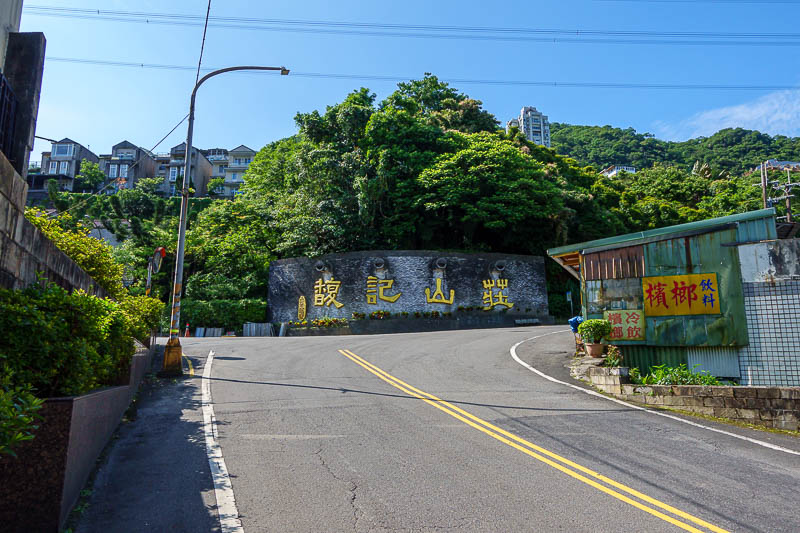
There are some housing developments as you go up the hill. The gold sign is the name of the area I was trying to get to, so I was on the right track.
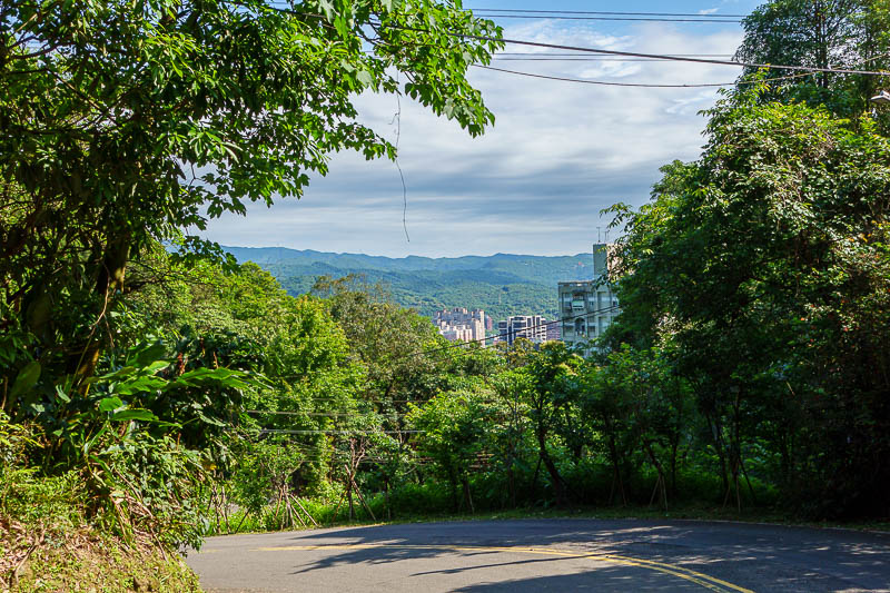
The road was very steep in places. I was sweating a lot just on the road bit.
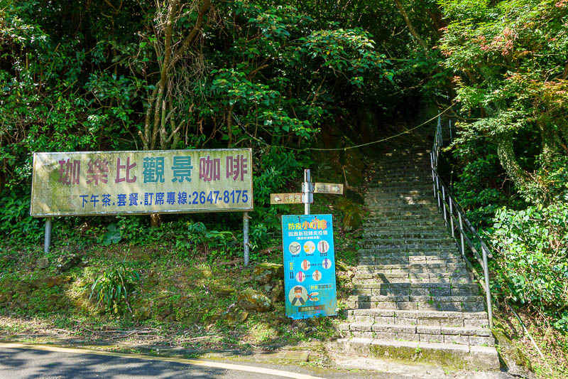
Here is where I joined the trail. As I mentioned above, I think there is an alternate way that joins up a bit further where you cross the road near a temple.
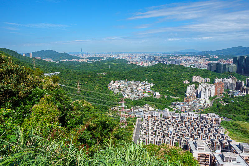
Weird housing development. Today I am east of Taipei 101, which you can see in this pic.
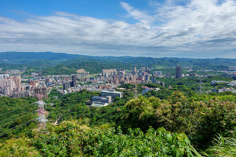
Nice clouds. Down there is Xizhi station, probably on the left of shot, where I had walked up from.
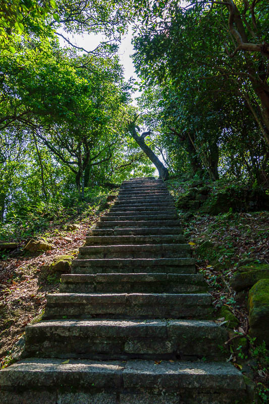
The first part of the hike was all steps. The steepest steps of this trip so far. A woman with her dog was putting it through torture making it go up the steps against its will.
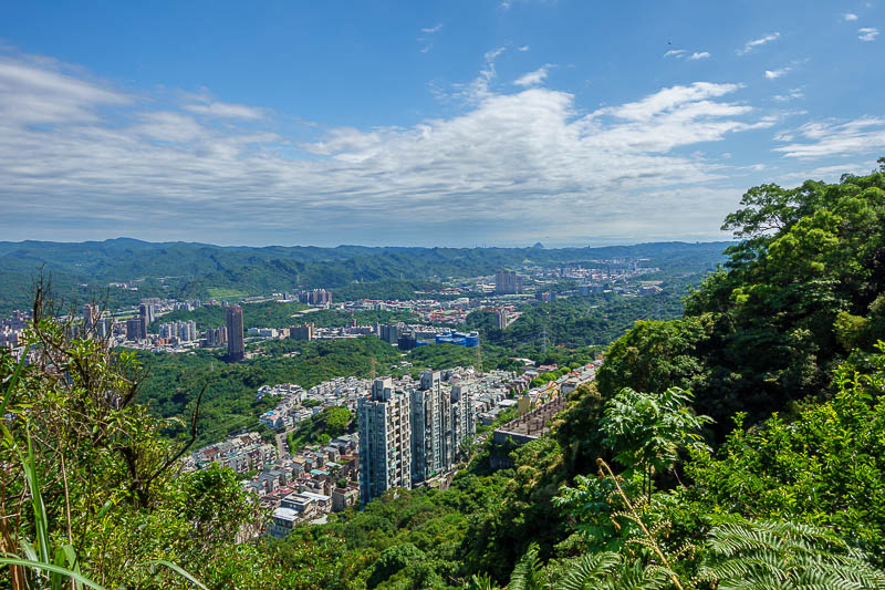
Similar view, this will be a theme, a lot of similar view shots today because I was thrilled with the clear sky.
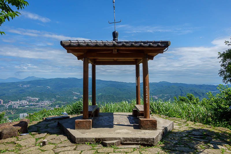
This spot marks the end of what is called Dajianshan scenic area, and the end of the stone steps. But do not worry, many trails continue on from here!
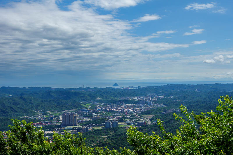
This view is a fully zoomed in shot down to Keelung, where I was 9 days ago. I took photos of that little island on a smoggy day. I can also see the chimney's at the power plant I walked past.
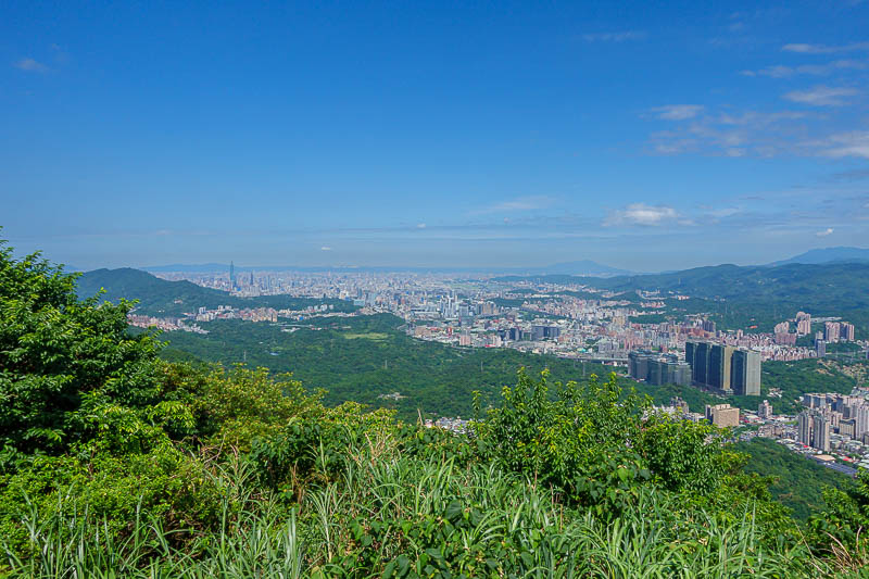
Another similar shot...
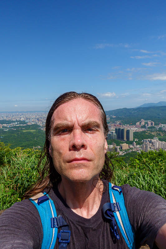
And of course, my big head. Sadly I could not find a spot to pull off the stance today.
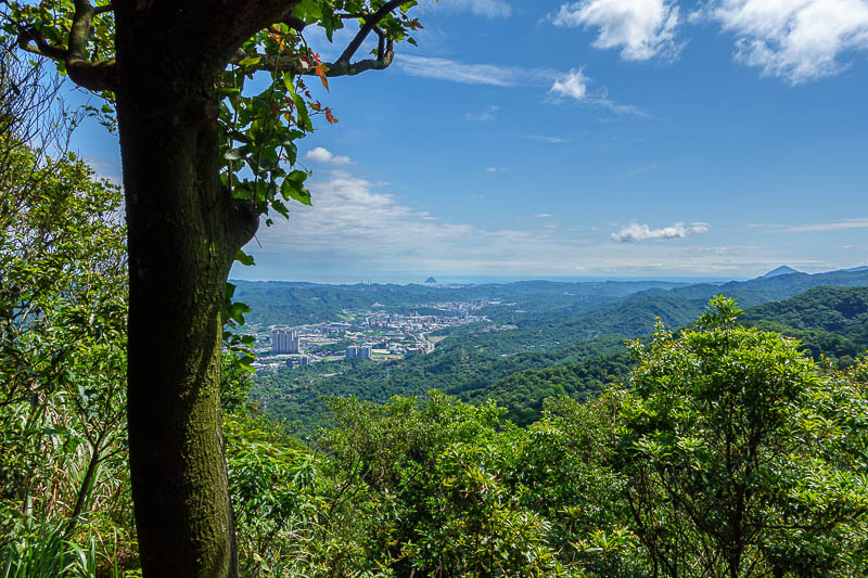
Zoomed out shot towards Keelung. I feel as though I could walk there.
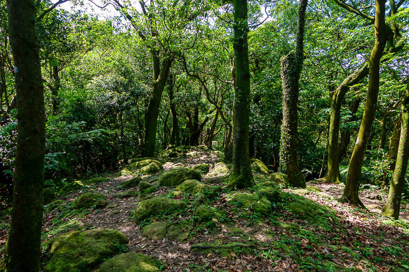
After the top of Dajianshan scenic area, the trail got a lot more interesting.
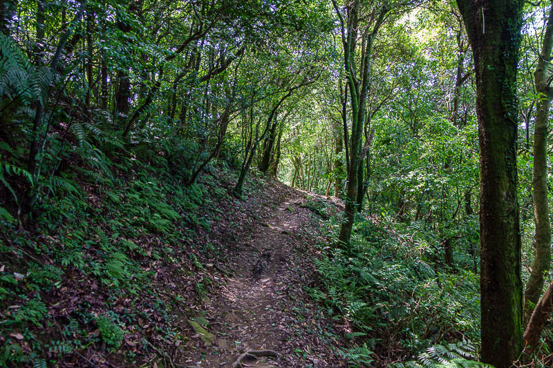
Parts of it were nice and smooth, making for good progress.
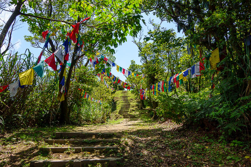
Before too long I arrived at the end of the trail, at Sifenweishan. Prayer flags but no temple. There are of course more trails beyond here, but you have to go along a road for a while, further away from any kind of train.
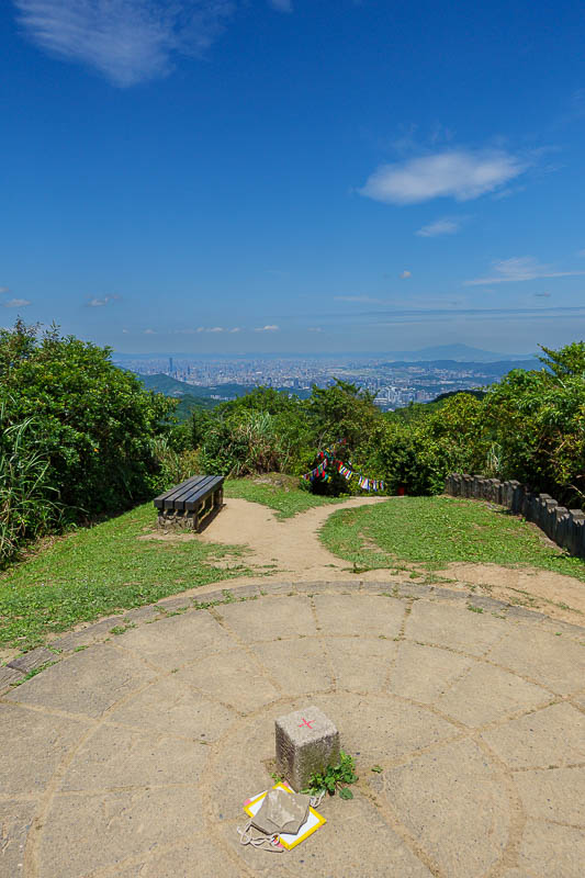
The summit area has a little park, as it is quite close to a road. The view is actually better from the earlier lower down parts of the trail.
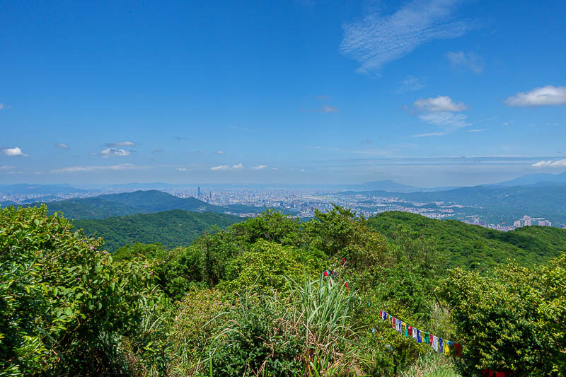
Wide view with prayer flags.
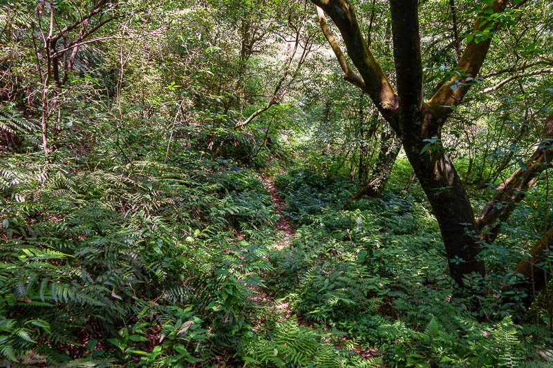
Unfortunately, I was thwarted today. I originally planned to go down this path, to a waterfall where a road ends. The trail was marked on the map, but it was very badly over grown. I decided to turn back and come back down basically the same way I came up. I think that is the first time I have had to do that on this trip.
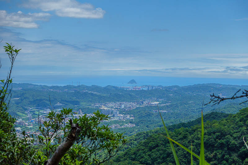
One last view towards Keelung.
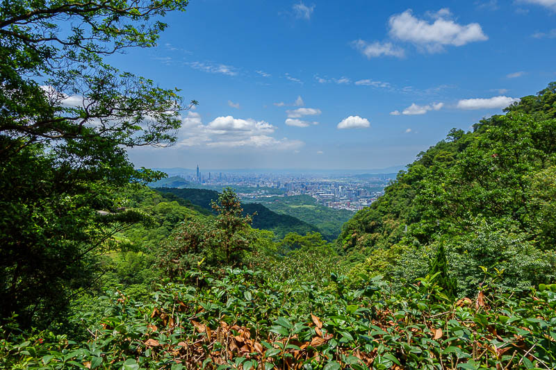
Almost last view back to Taipei.
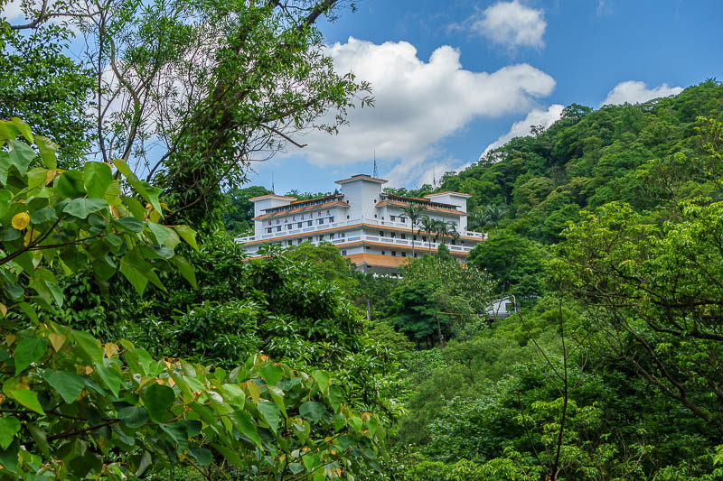
I made a slight detour on the way back and came down through that temple. This brought me back to a different road, but then I found the alternate trail. So kind of a loop trail today, but not really. Also, it was about 5 hours, 16km station to station.
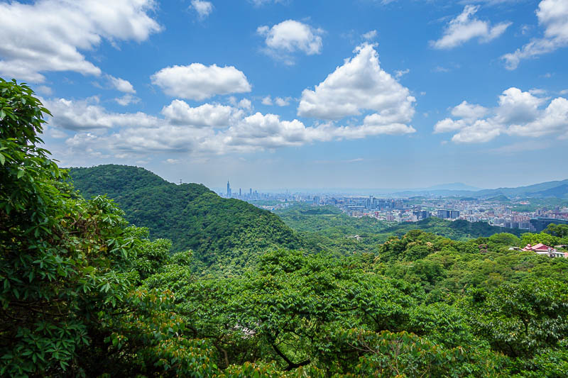
One more pic due to the nice fluffy clouds. Thats all for now!