19 November 2022
Why not both?
Bomunsan and Sikjangsan
As I think I mentioned, today was a hiking day, but I did not want to go to the national park as that is a bus ride and it would be too busy on a Saturday. So instead, I had to pick from two smaller mountains to climb over, then I just thought to myself, why not both? That turned into 19km and 35,000 steps. Good times.
There were a few challenges along the way that I shall explain with the photos, of which there are too many again today, to make up for yesterday.
Weather is still fantastic.
Subway story time, I managed to offend 2 old ladies. I had a seat next to me, 2 old ladies got on, I stood up for them, they must have assumed I was getting off at the next station, they sat down. Soon they realised I was not getting off, and they got offended and tried to make me re take the seat. This was a test, I was not going to fall for it! They stood up and kept almost falling over and demanding I sit down. So my only option was to walk through to the next subway car. If I had of sat down, I would be on Korean tv, rude sketchy looking foreigner makes elderly war veteran stand up for her on subway.
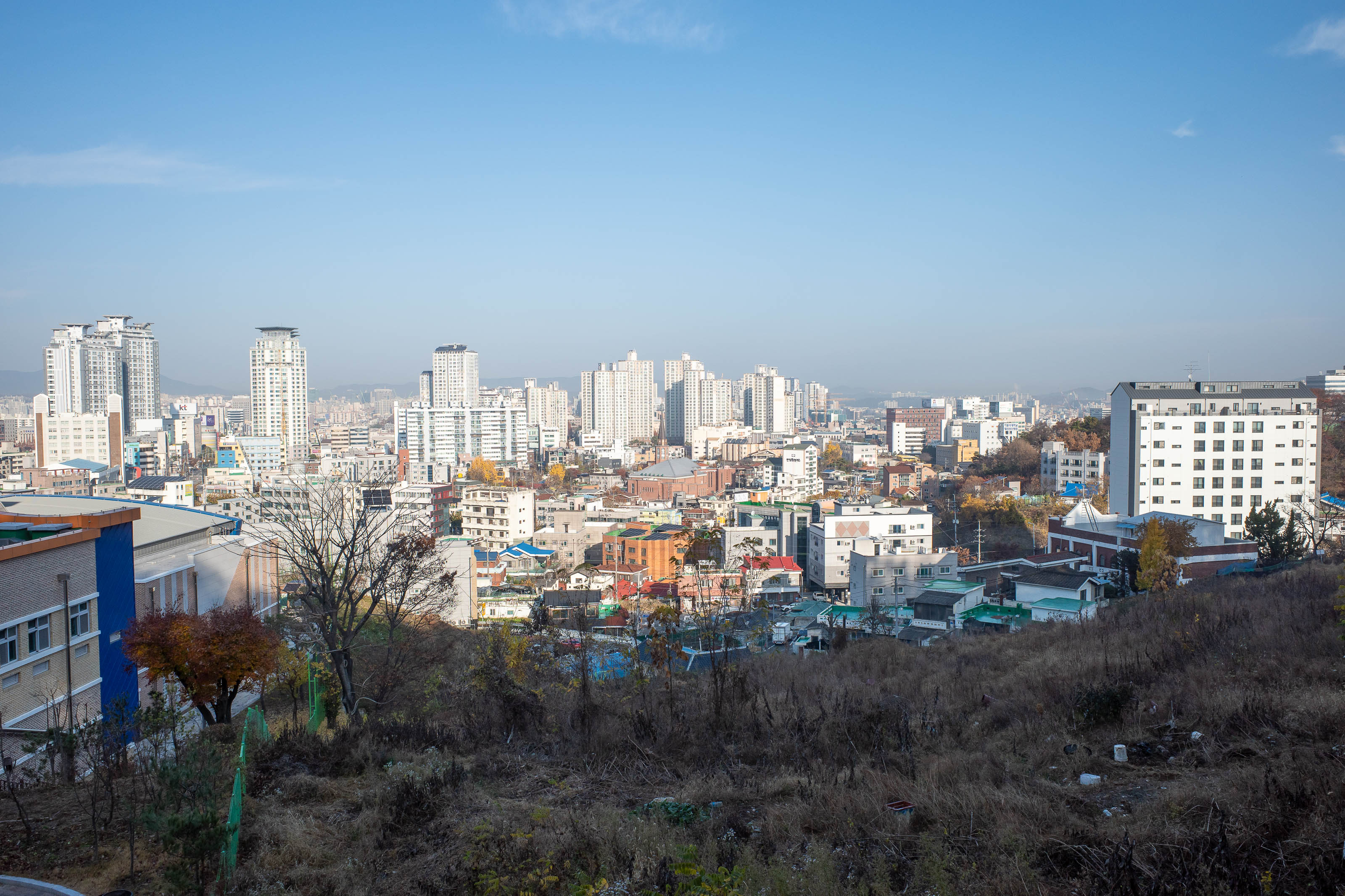
I chose a starting point, one of 50, from near a subway station. It had signs, it was on the map, it also had signs saying private property keep out (I translated using my phone). I went through this mini farm anyway and walked through cabbages and farmer rubbish to get to here.
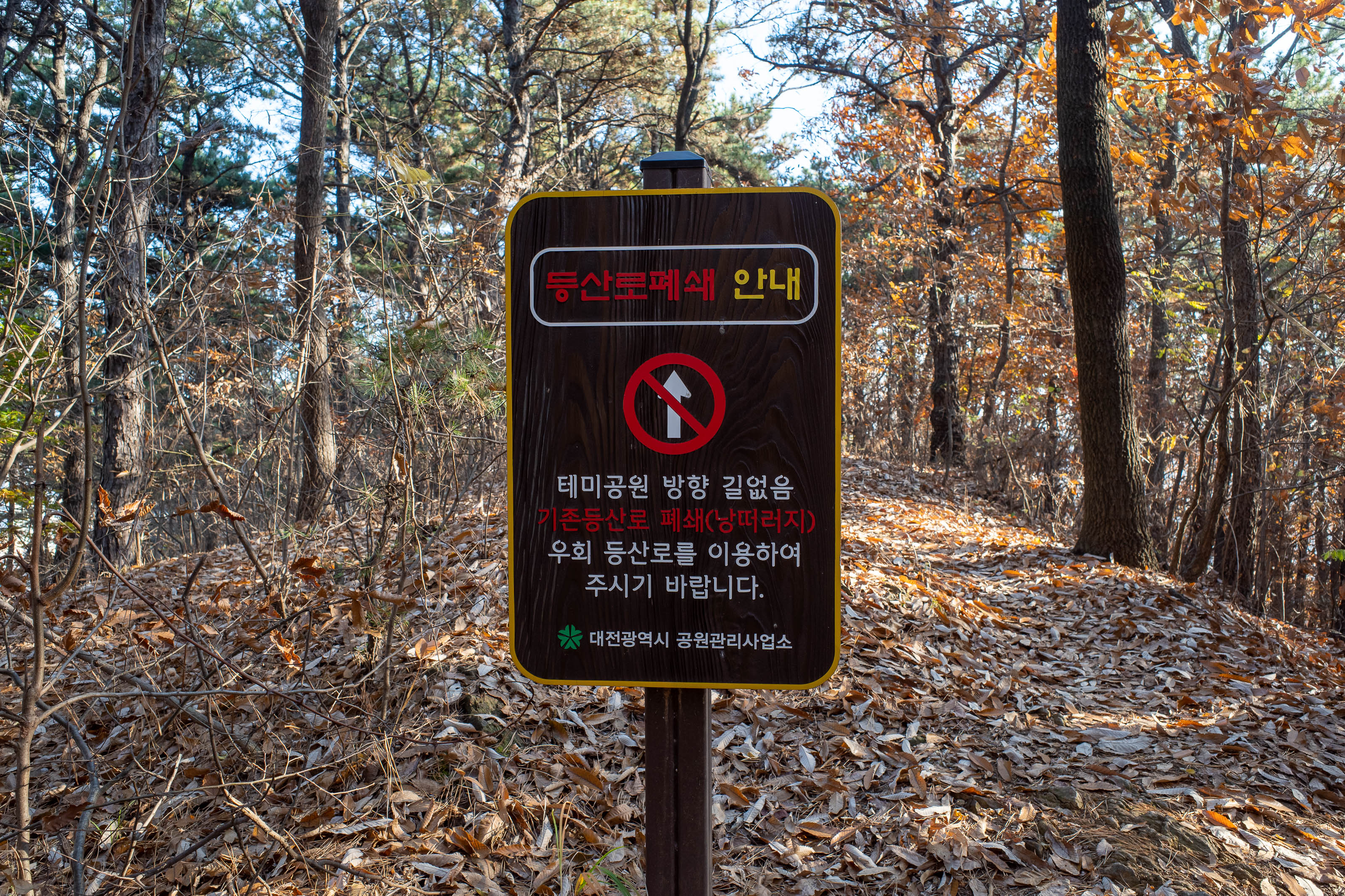
This sign says the way that I came up is no longer a hiking trail. Too bad the signs pointing up to here were still in place.
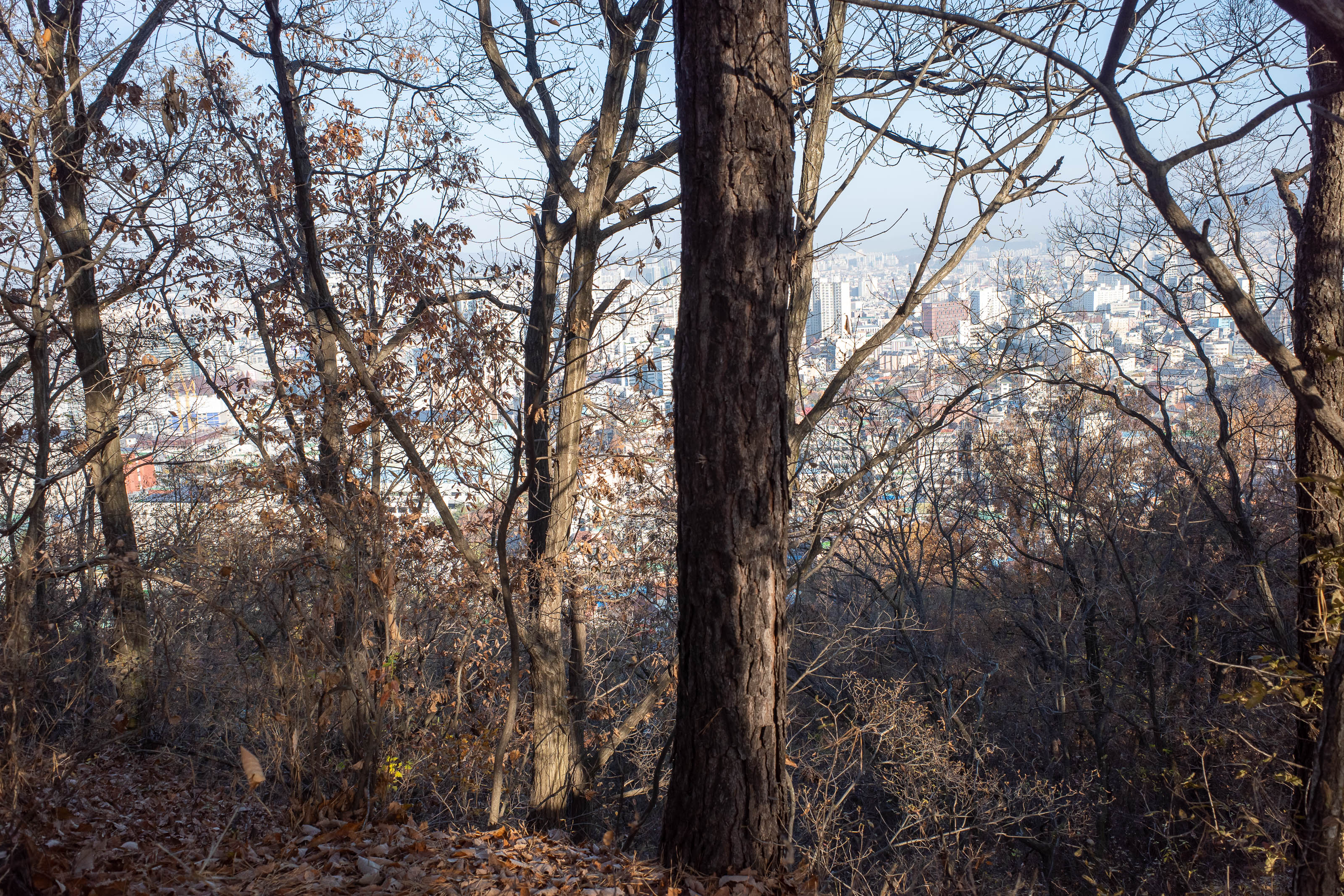
Bomunsan was the first hike of the two. It is very popular, and there are some roads going to different bits that you can avoid if you want. I painstakingly looked at my map to avoid the roads. Good views of the city for most of this hike even if it was through the trees.
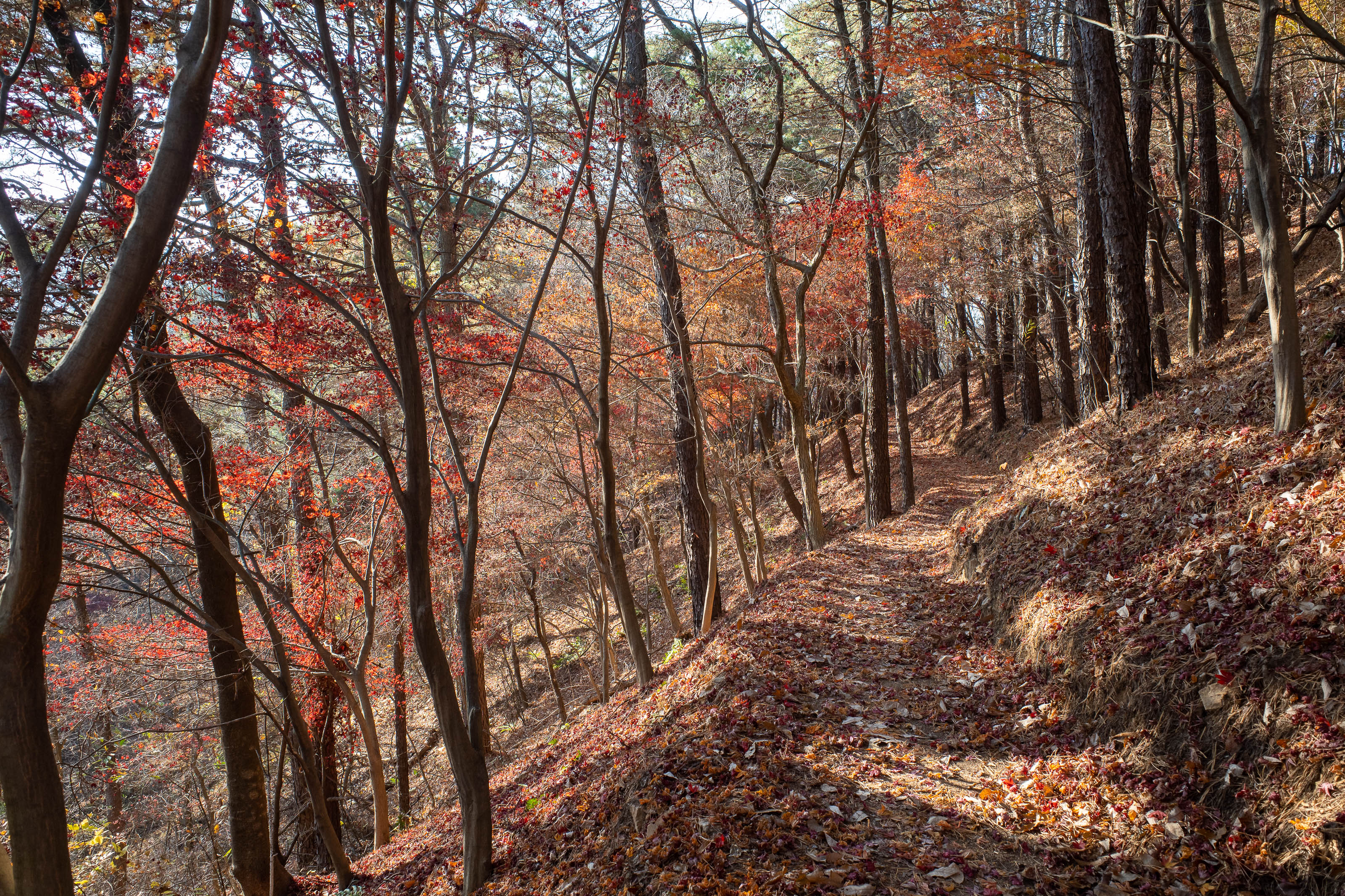
The actual trail was not too colourful today, mostly just brown and pine. Here is a rare glimpse of colour.
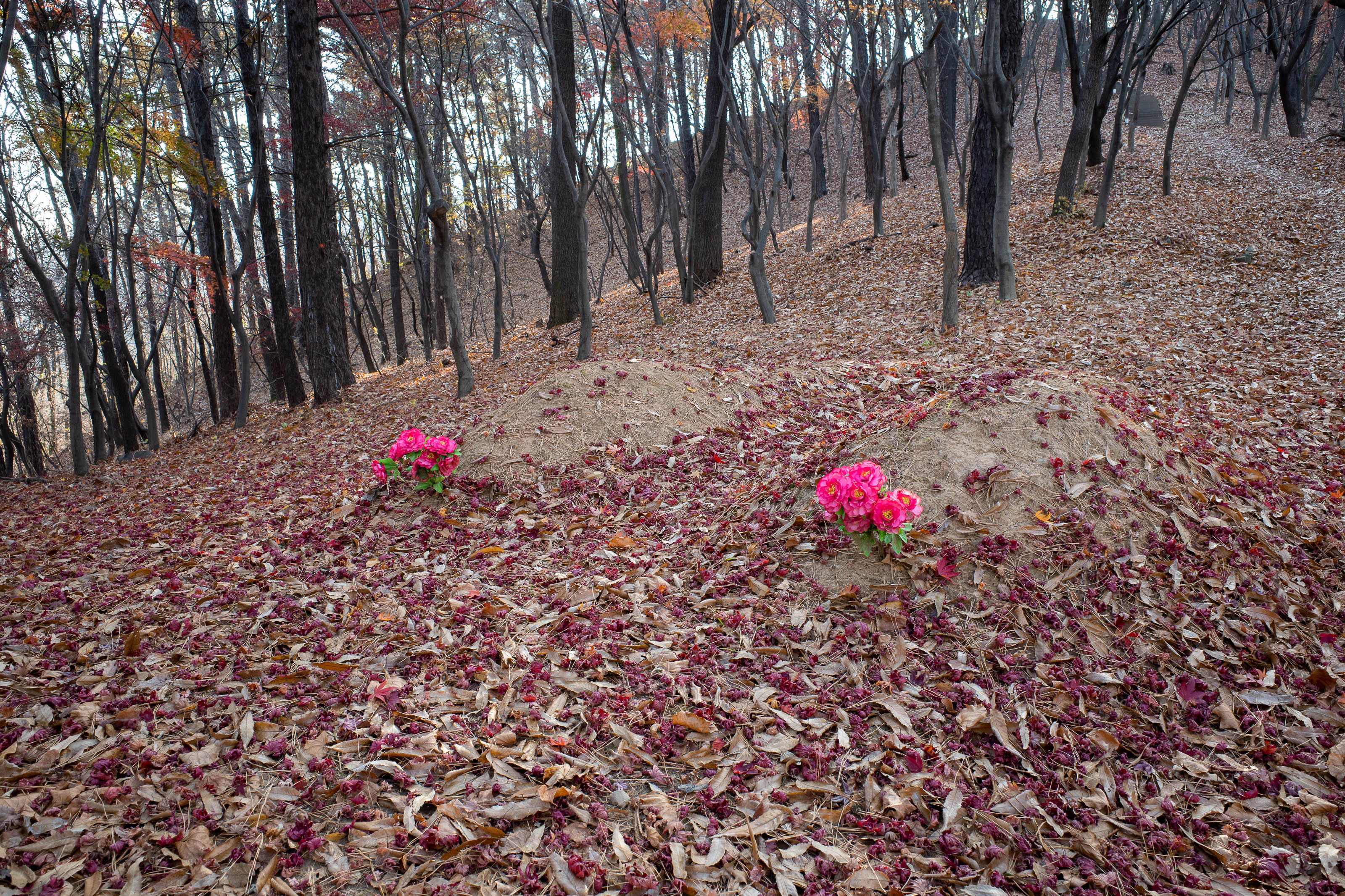
Hmm, I thought all these graves in the forest were ancient historically significant sites. These 2 look like they were buried yesterday. And in a kind of weird spot with no view. So my pro tip, if you need to dispose of a body in Korea, just head up the nearest hill and cover them in a bit of dirt and shove some plastic flowers on the mound.
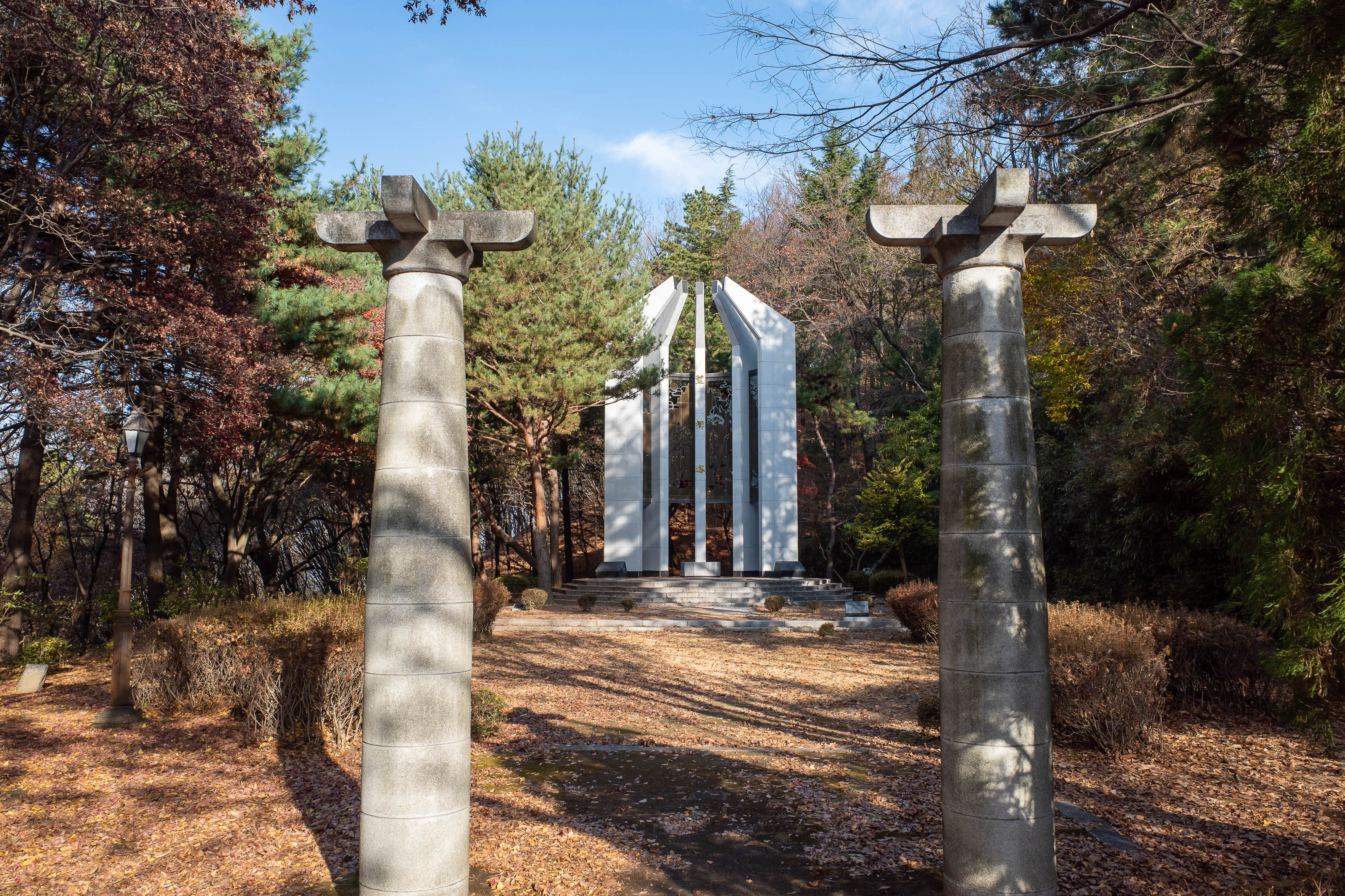
I crossed the road at this point. I do not know what the monument is, so I will go with, martyr.
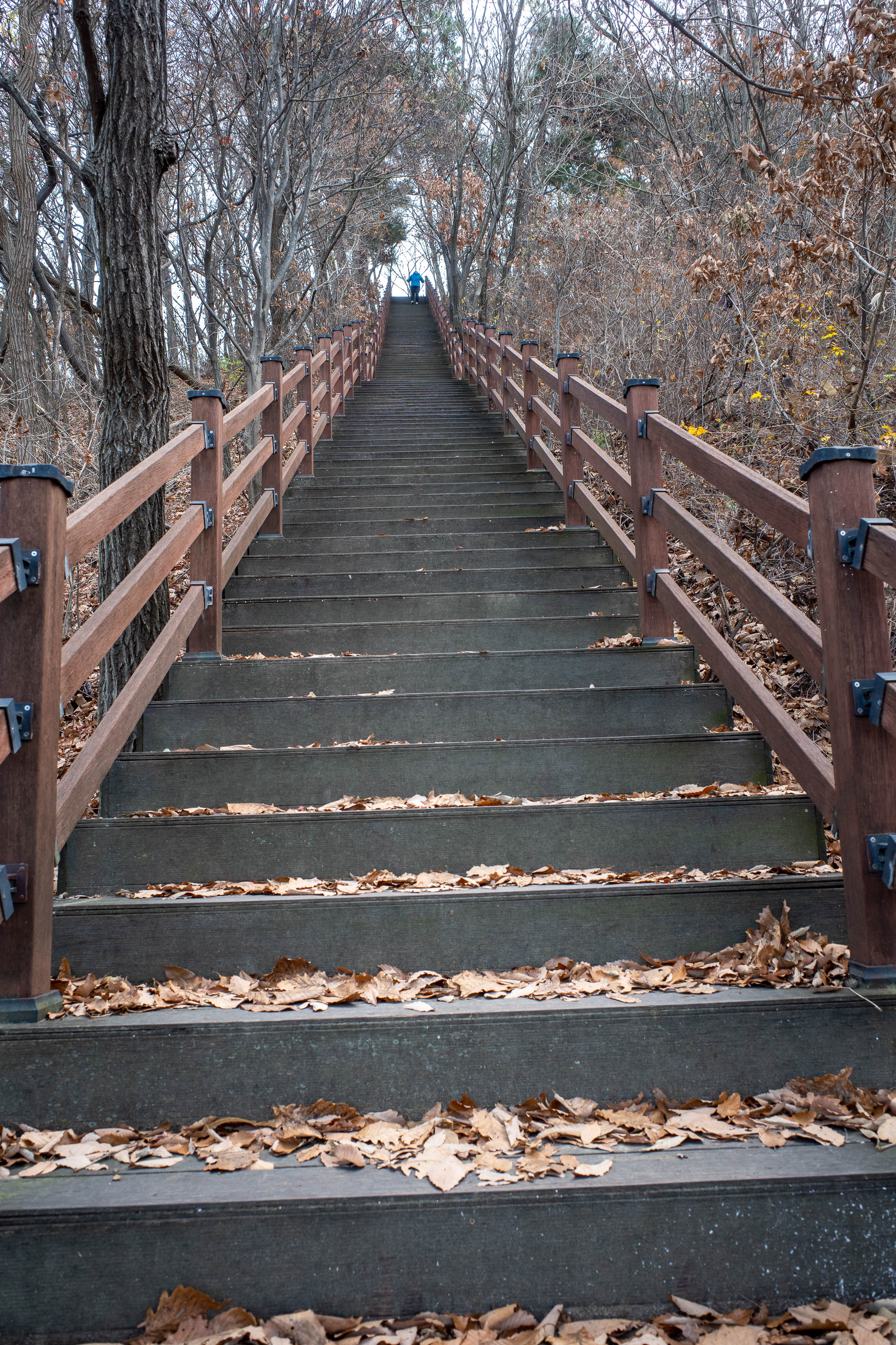
Bomunsan had many long stair cases, depending on the trail you selected.
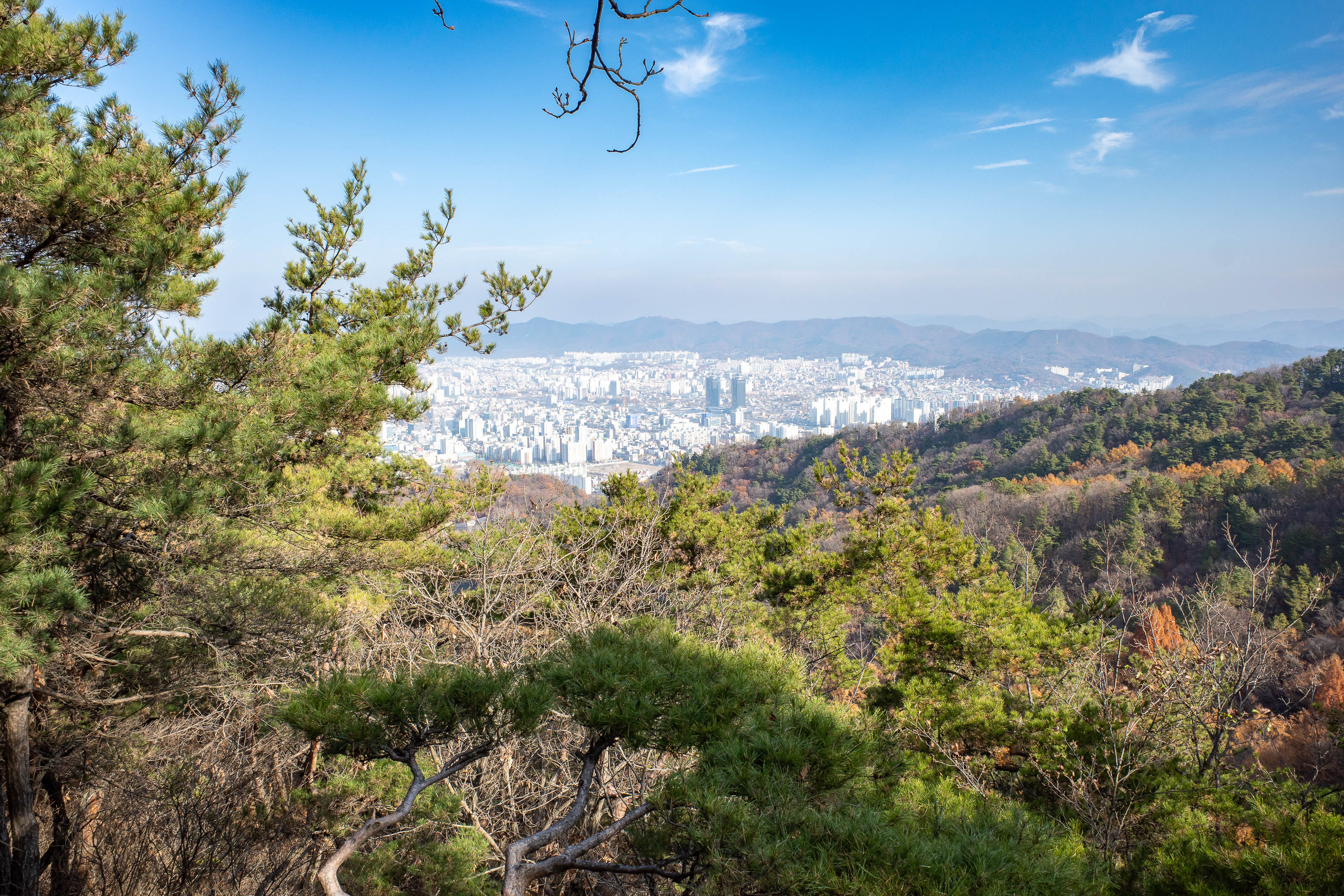
First view, much better to come.
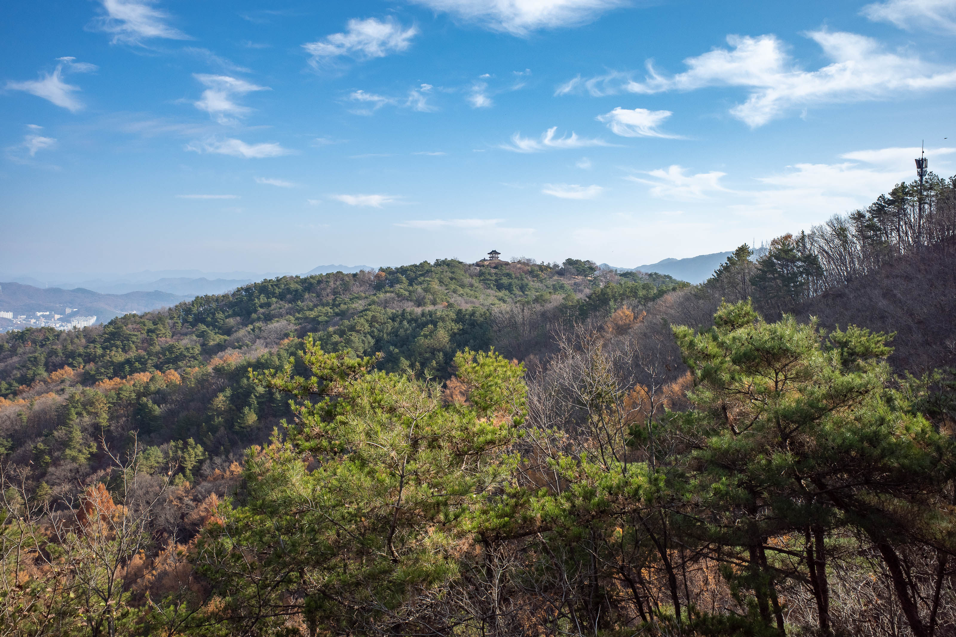
My next target is that little pagoda over there.
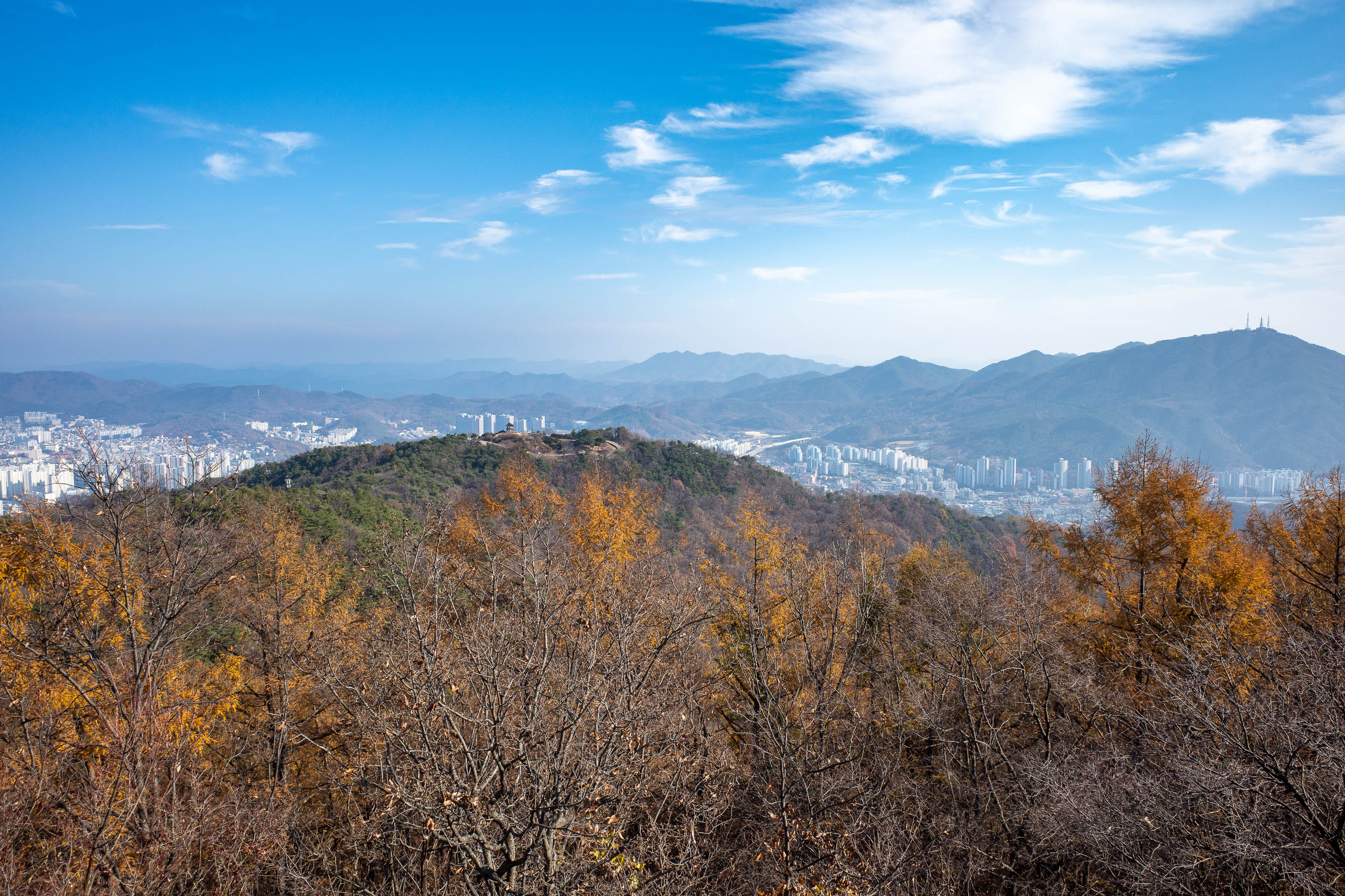
Here you can see mountain number 2 on the right in the distance, Sikjangsan, with the antennas on top. More antenna photos soon.
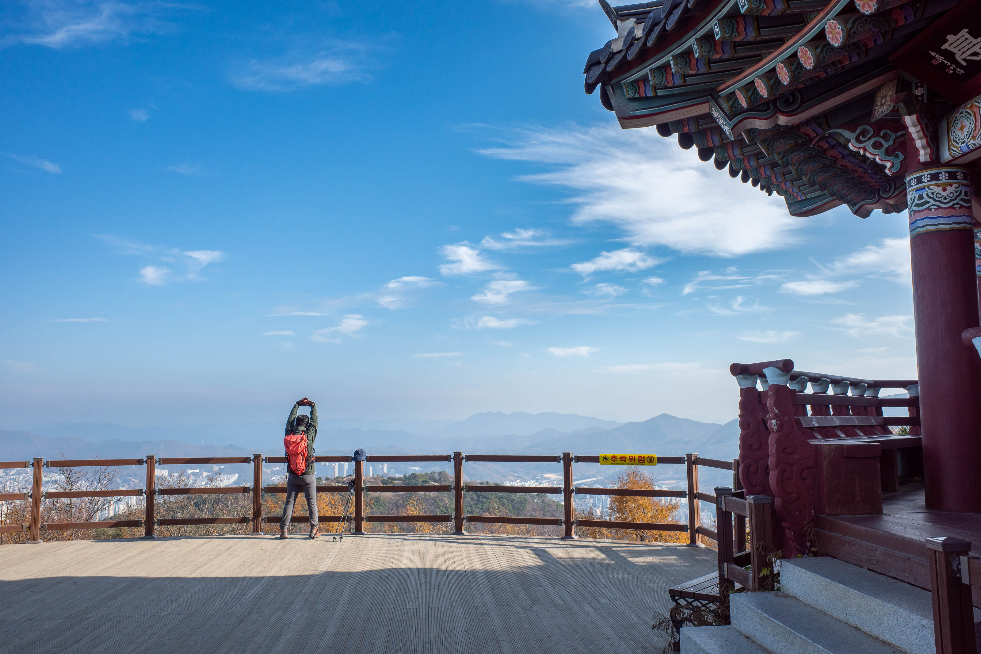
This guy was screaming for some reason.
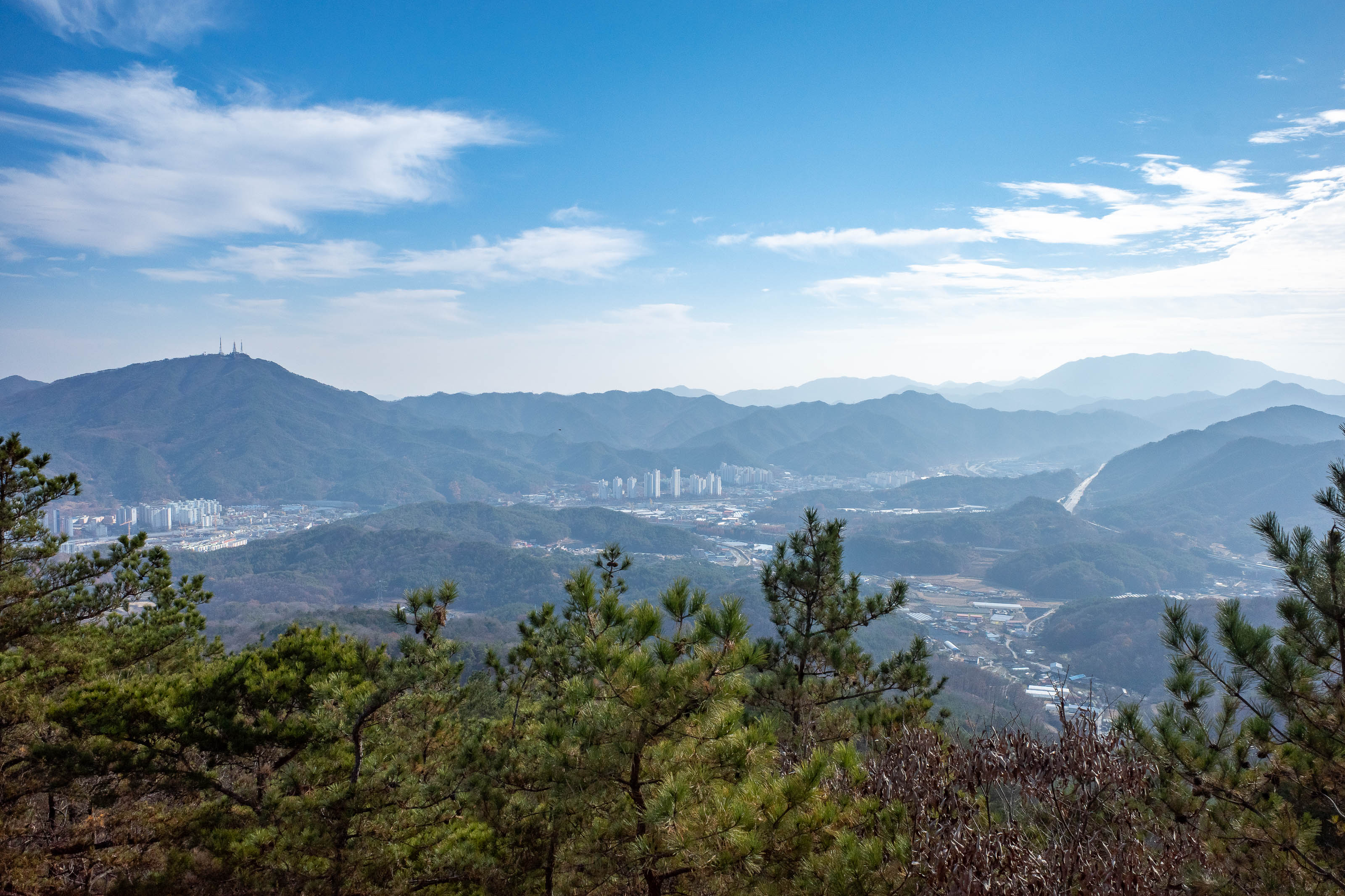
Nice view further up the valley, all mountains. This is nowhere near the national park which is on completely the opposite side of Daejeon.
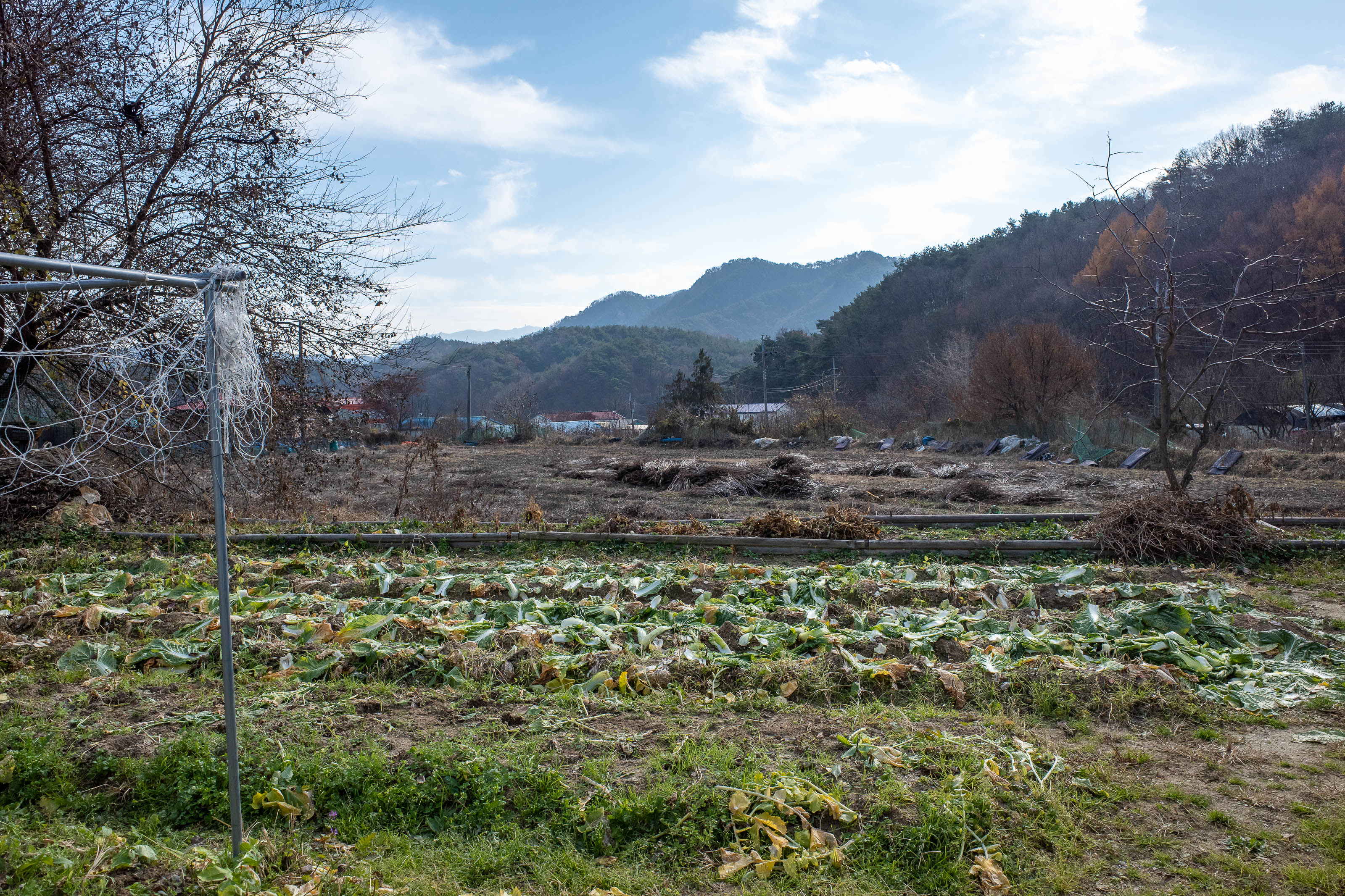
I had selected paths down to get me from Bomunsan to a point fairly close to Sikjangsan, only to find the paths were closed for re vegetation purposes. So instead I slid down some leafy steep cliffs into this farm area.
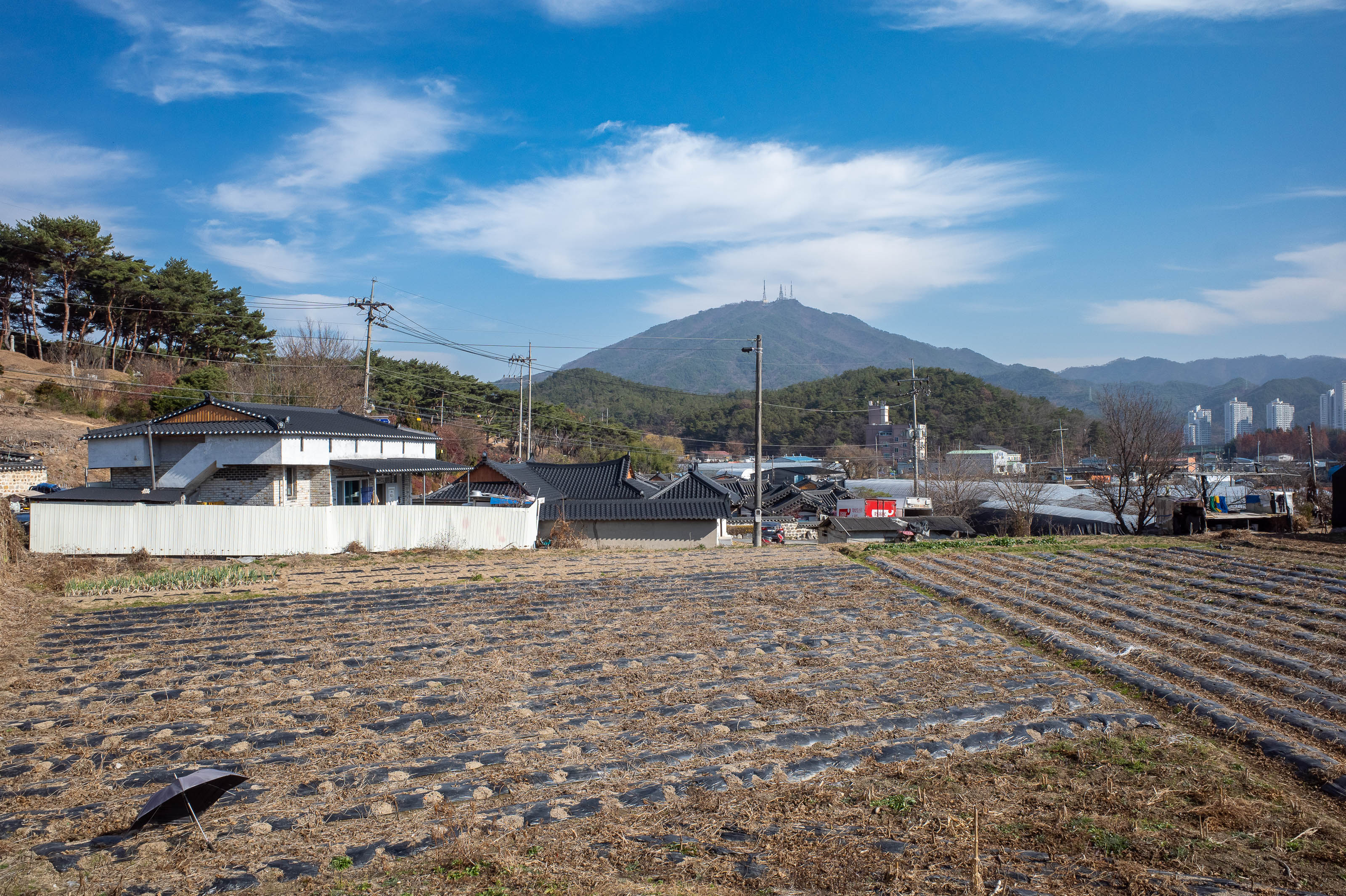
It was now a couple of kilometres to a start point for mountain number 2 of the day.
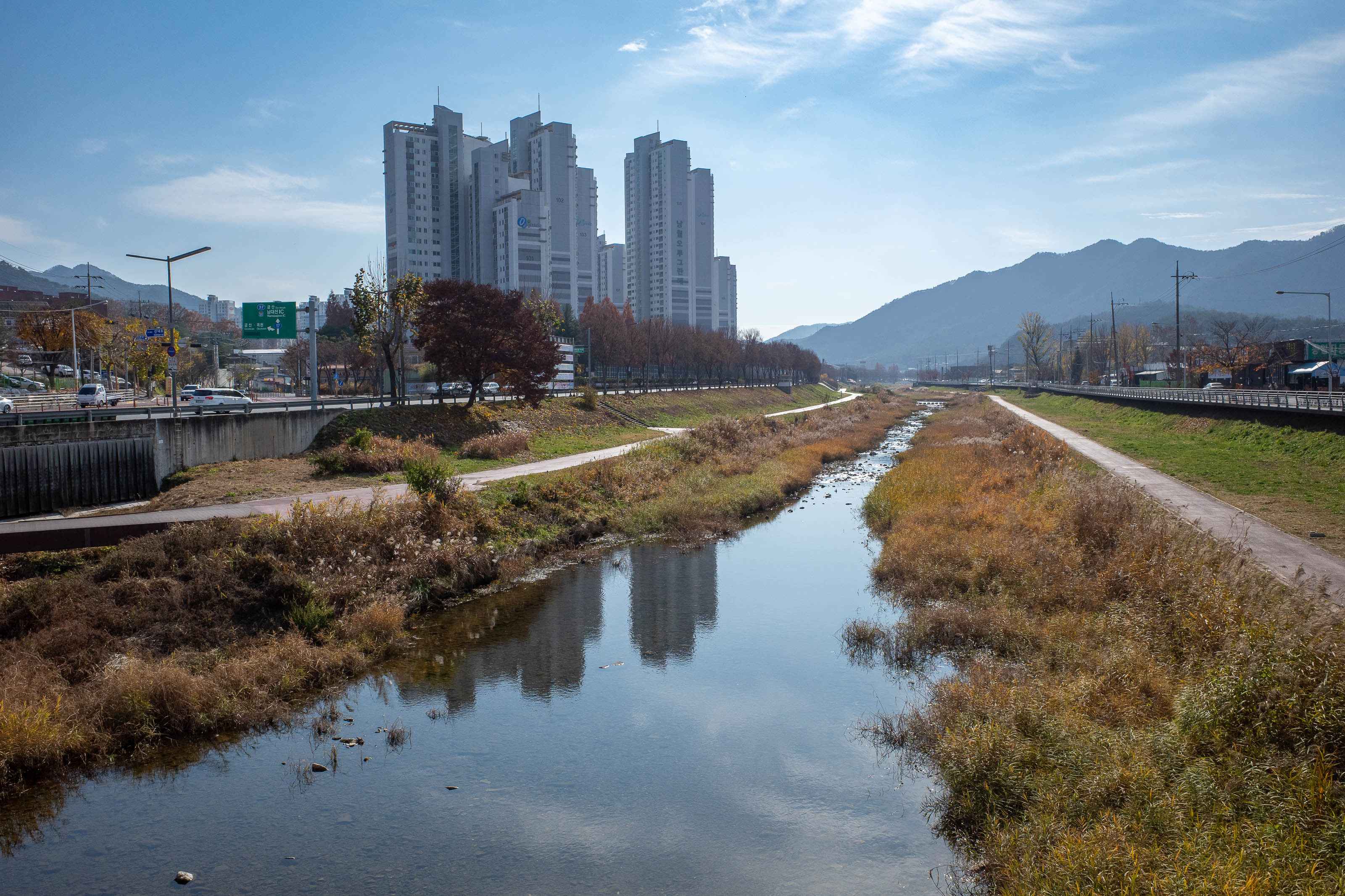
However, I did get to cross over a nice stream, always a highlight.
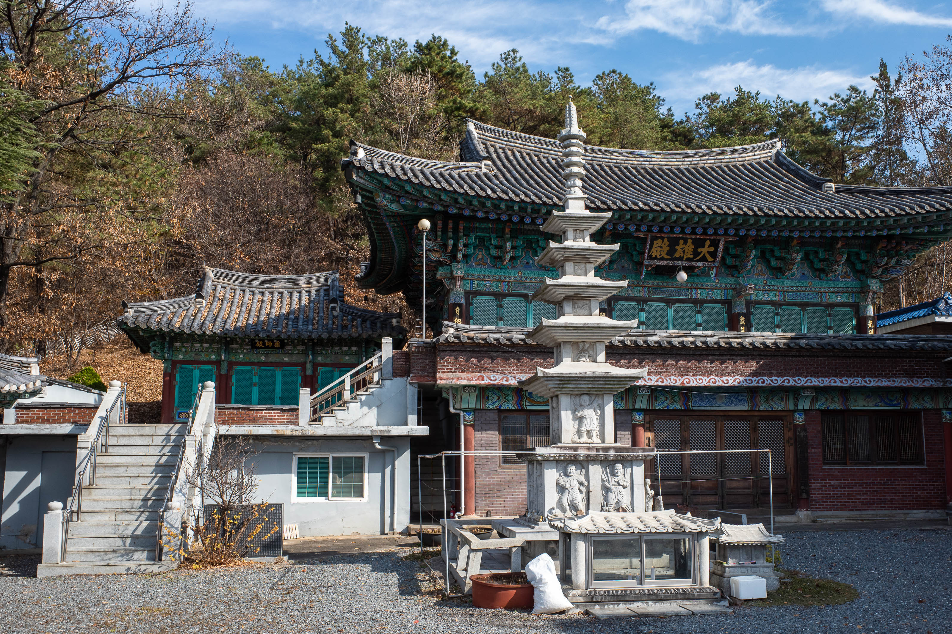
My path up Sikjangsan started at this shrine. It will not be the last shrine.
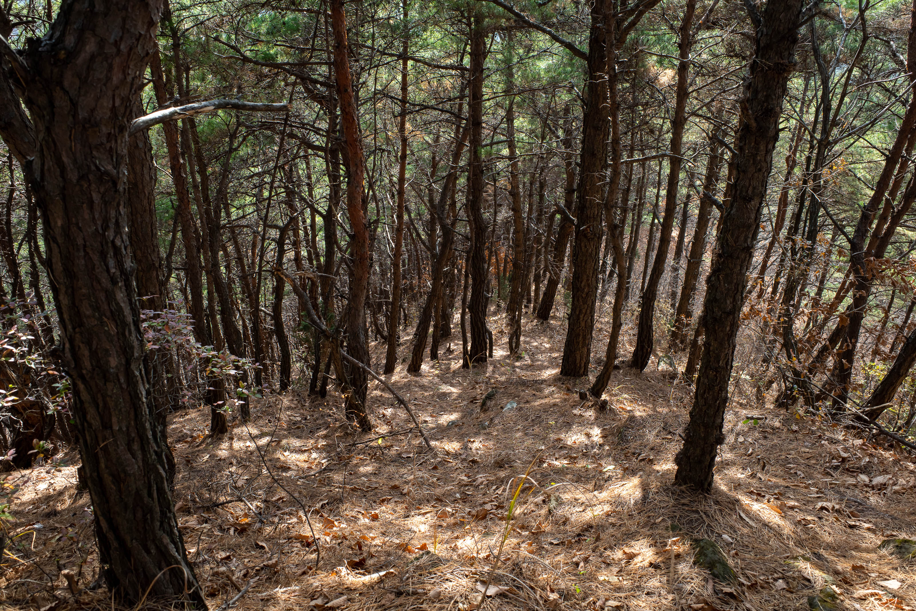
My chosen path was steep and unrelenting, and I had it all to myself. It was hard going!
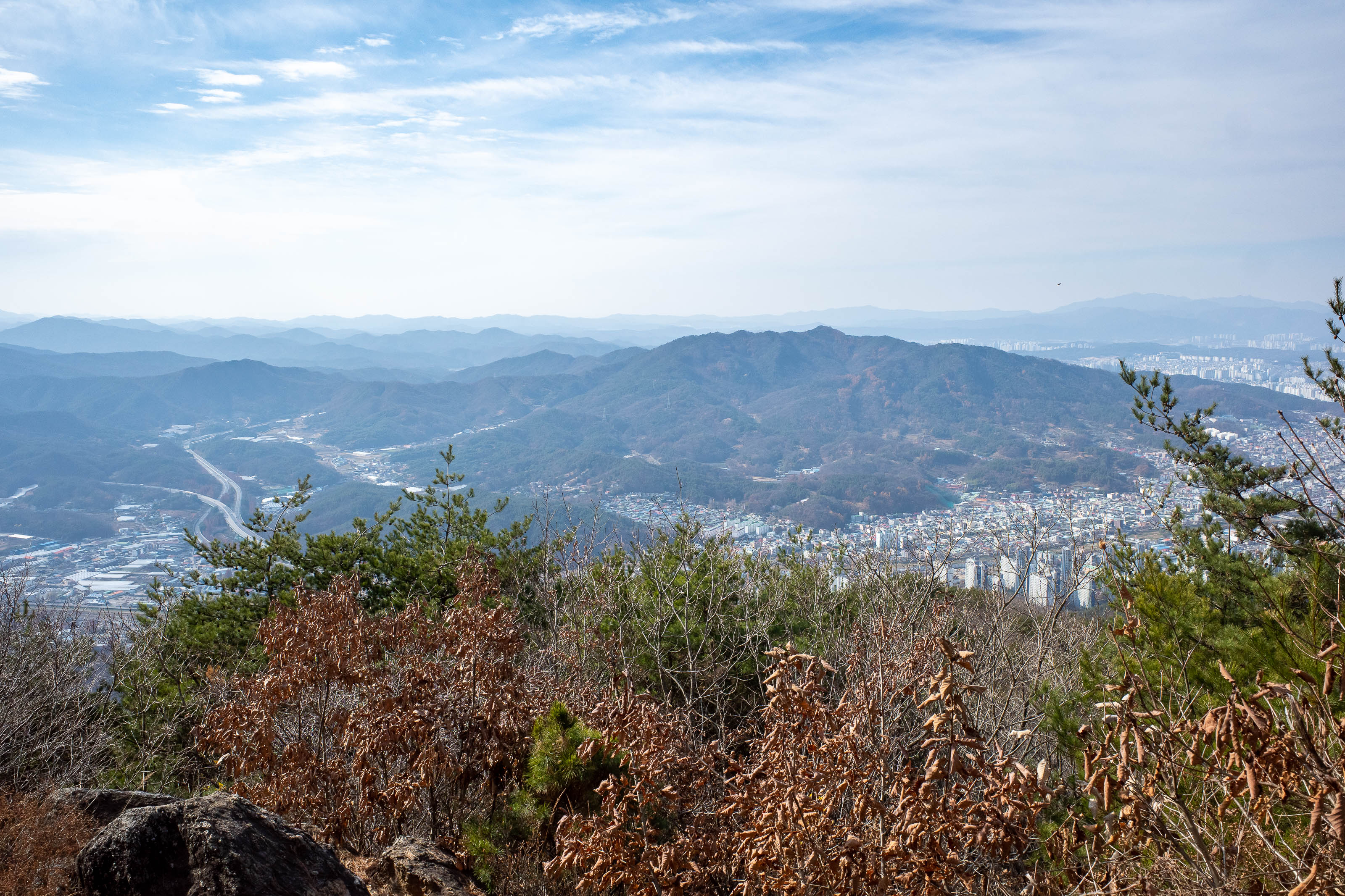
Getting near the top, that is Bomunsan that I had just come up and down across the way there. I am talking like an old person.
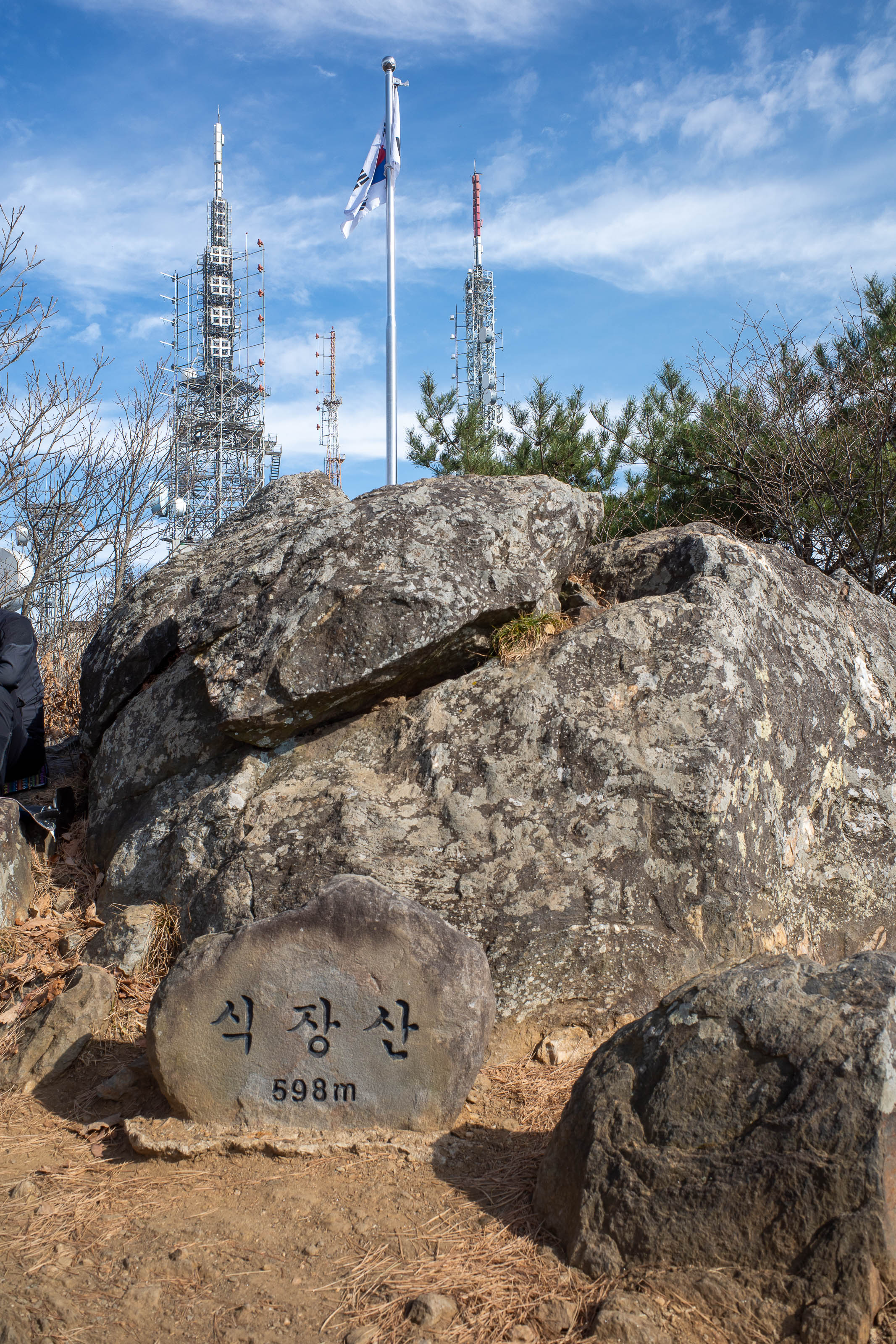
A Korean flag flanked by the national monuments of Korea, giant antennas on top of a mountain.
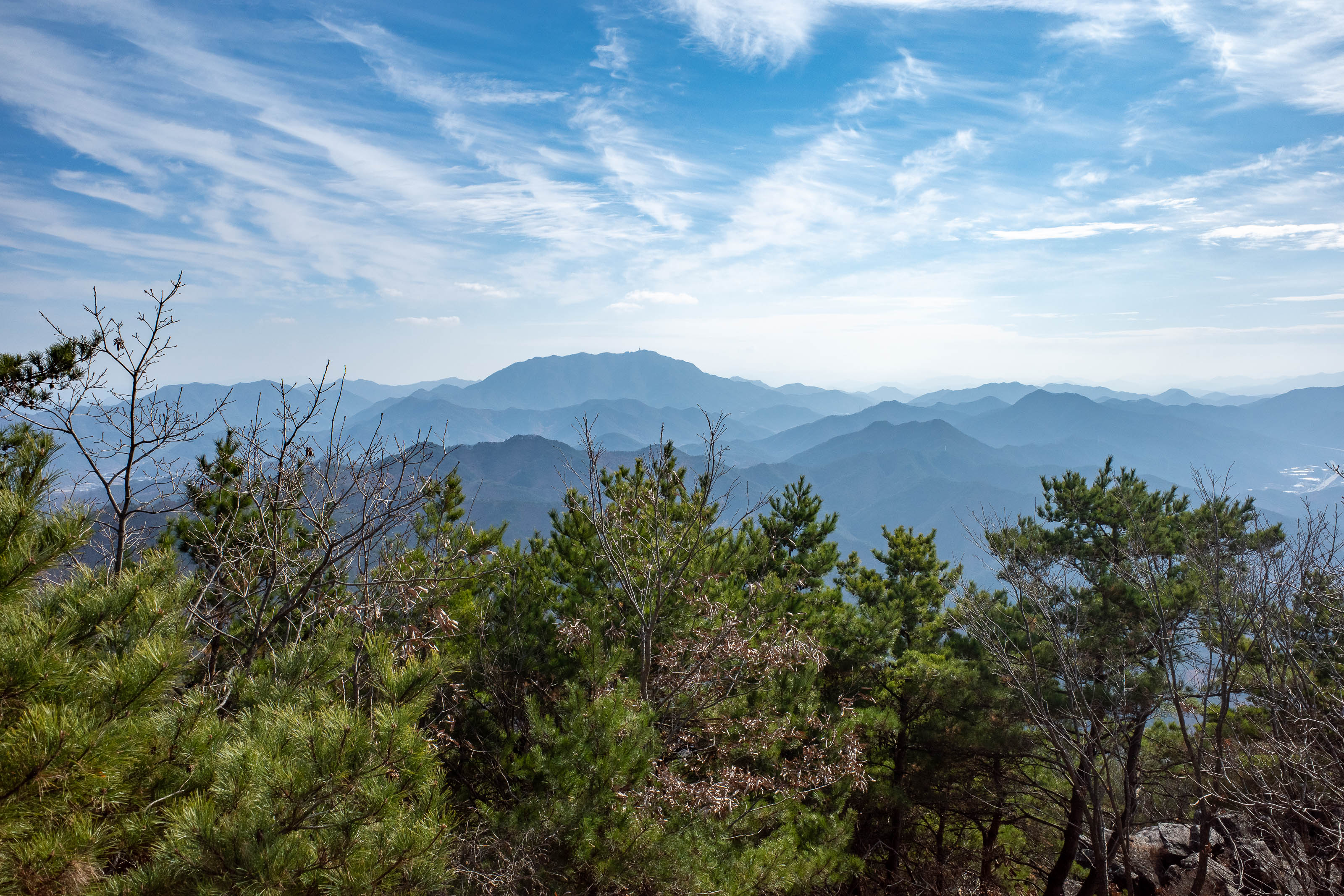
I believe this is also called sunrise peak, or sunrise observatory.
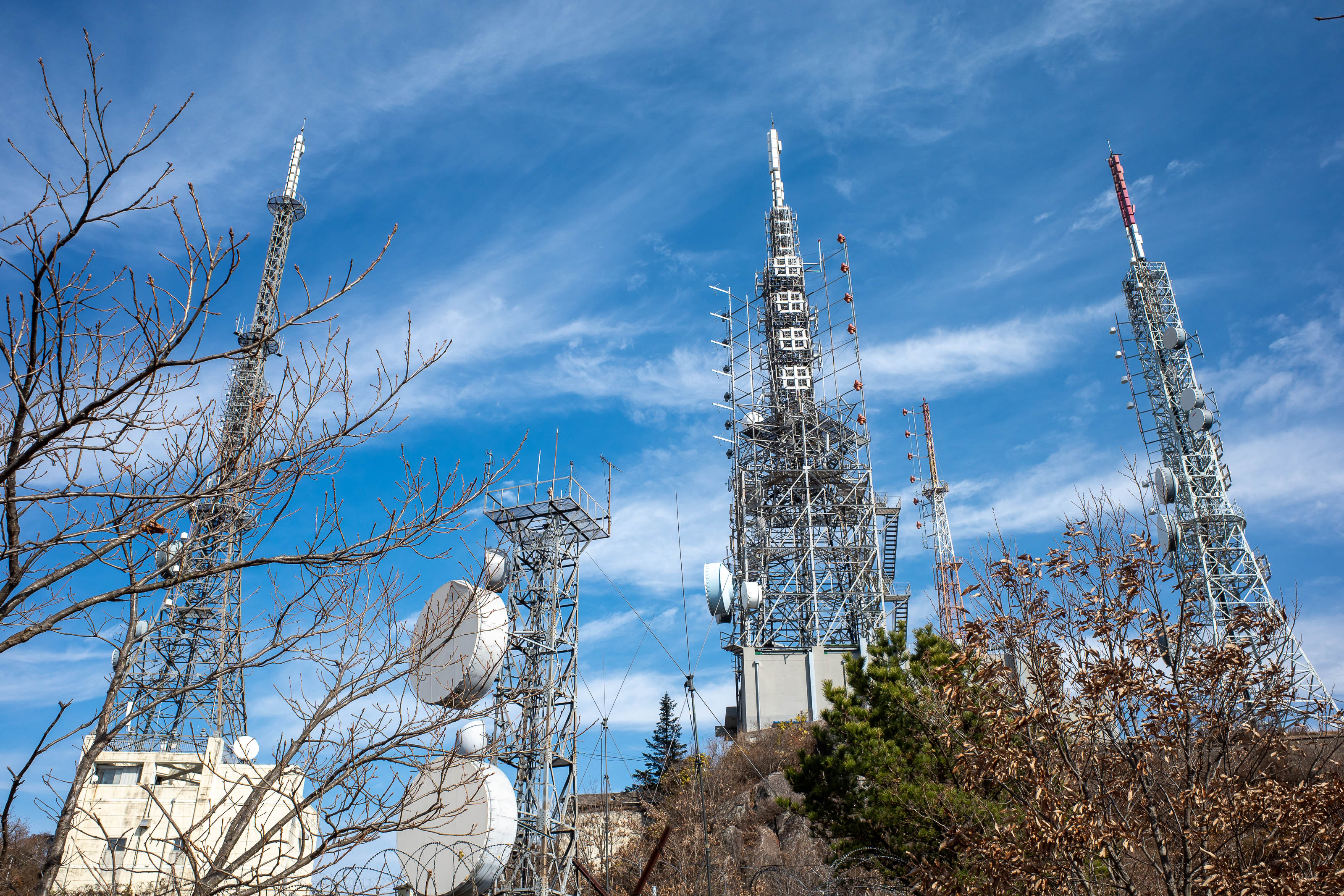
All off limits. Military related.
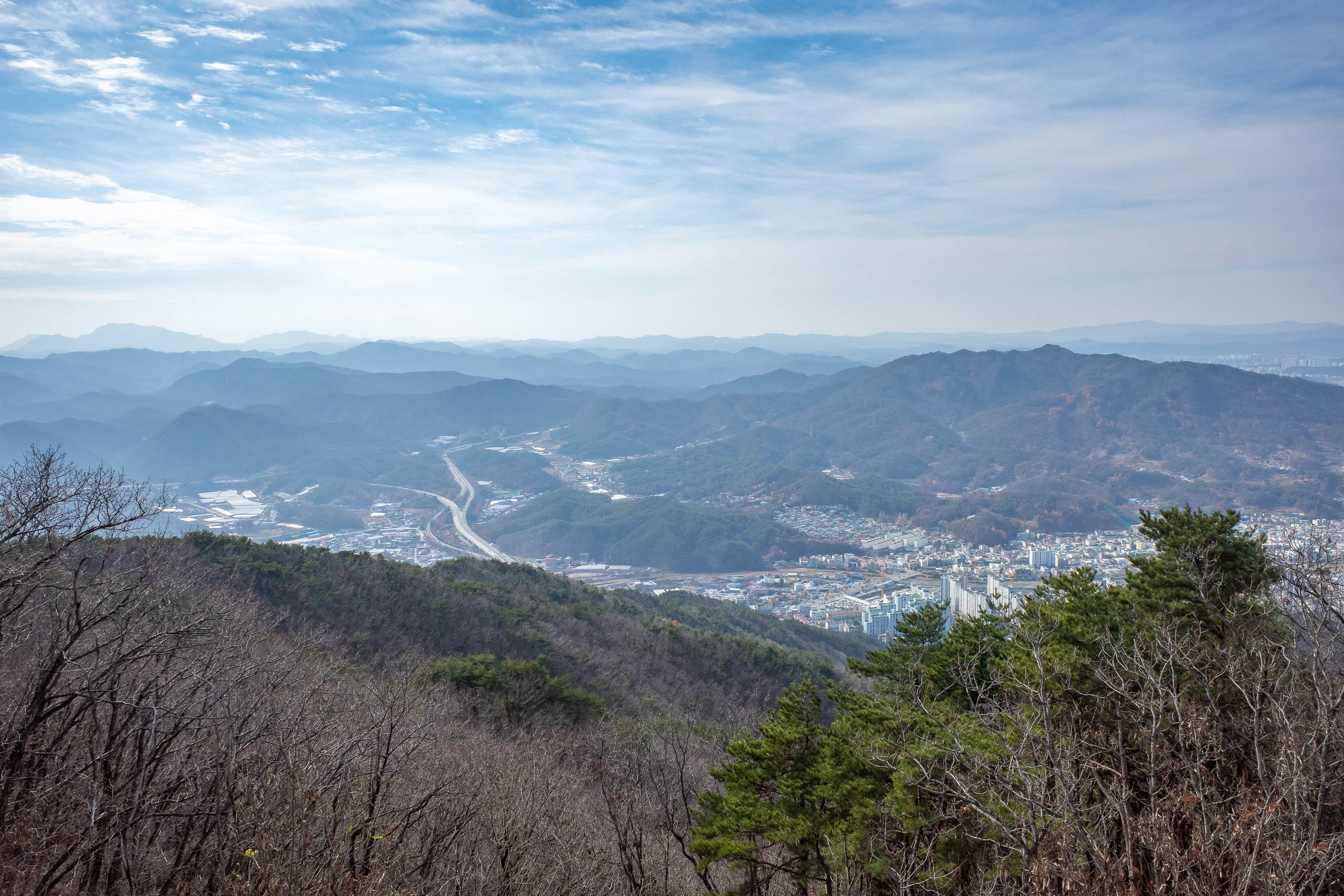
First view from sort of the top. I suspect the antennas are the real top.
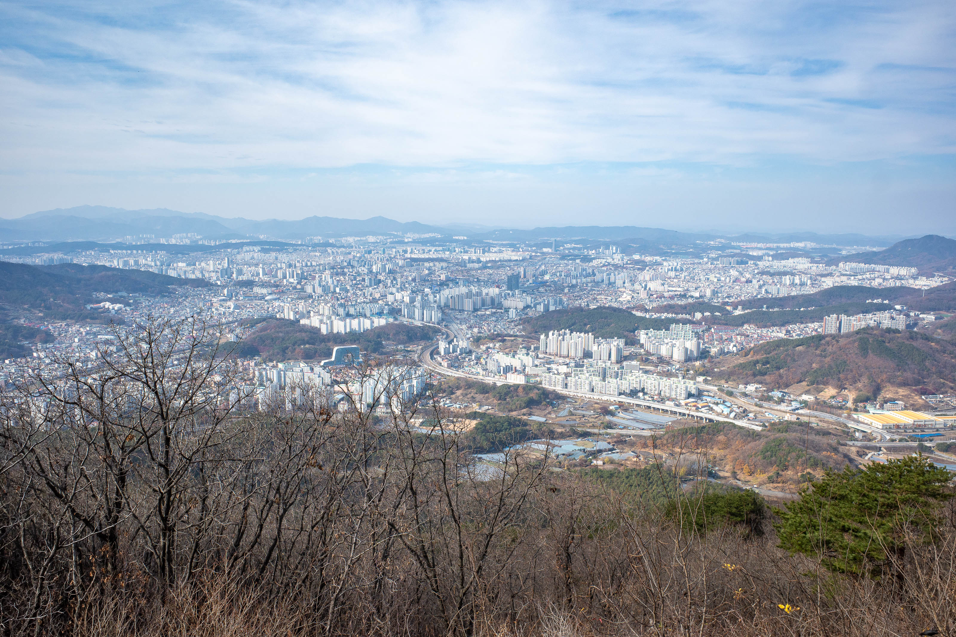
'One of the views of Daejeon' is how this view was advertised on the Daejeon travel website.
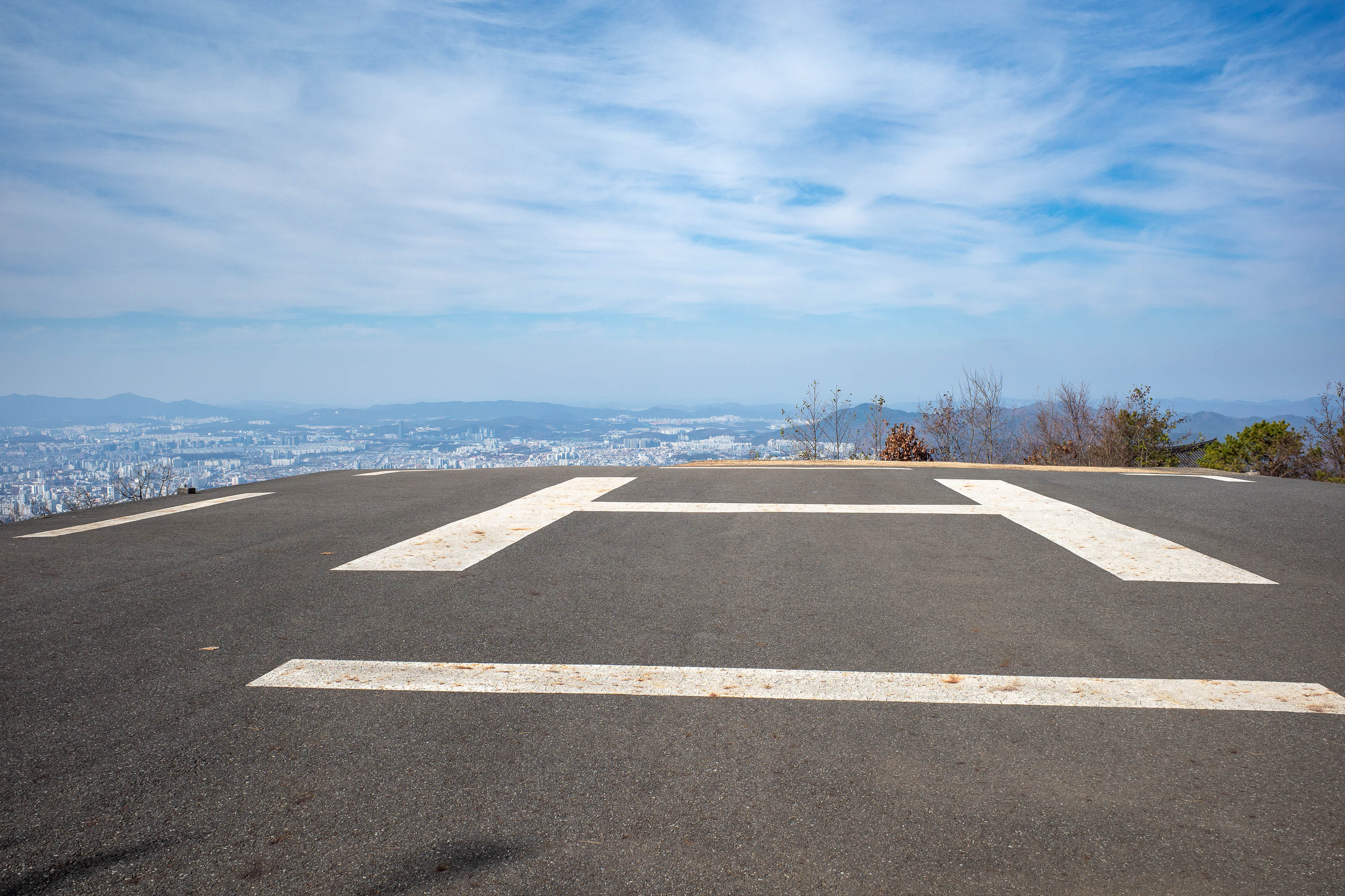
A serious helicopter landing area.
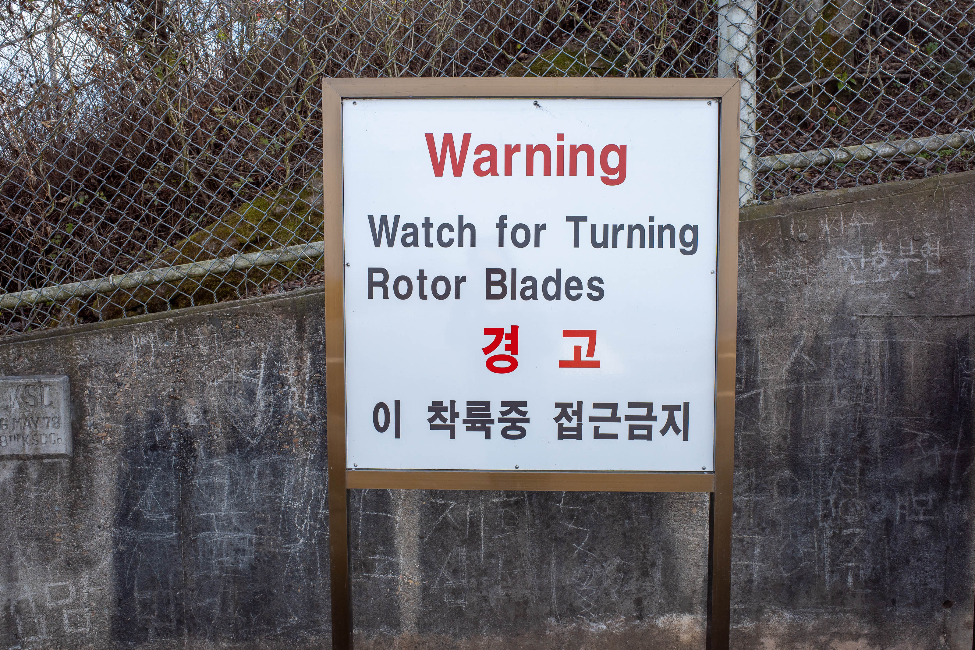
I am kind of disappointed there was no helicopter.
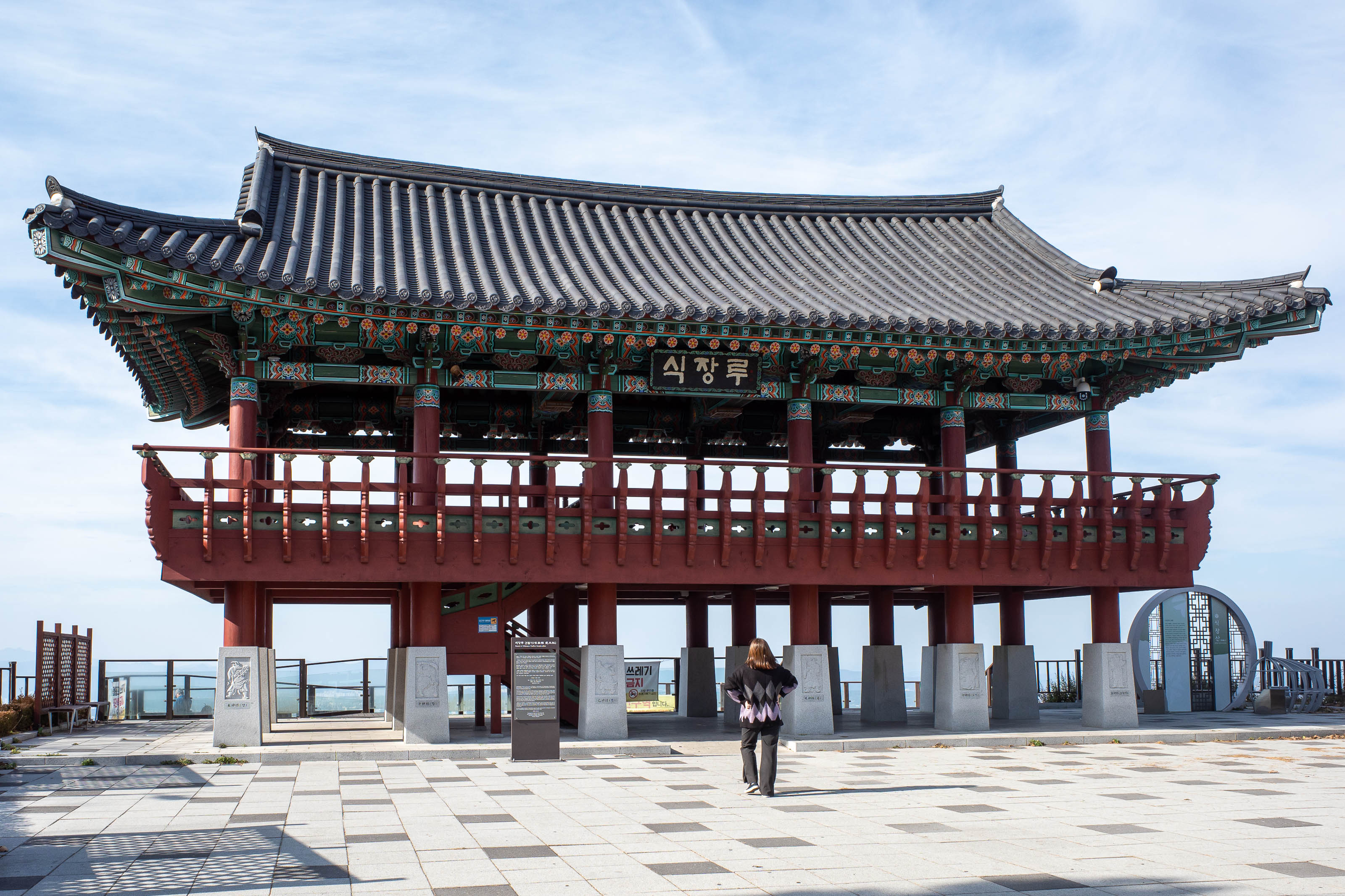
There is a road nearby, I suspect people come up here for the night view.
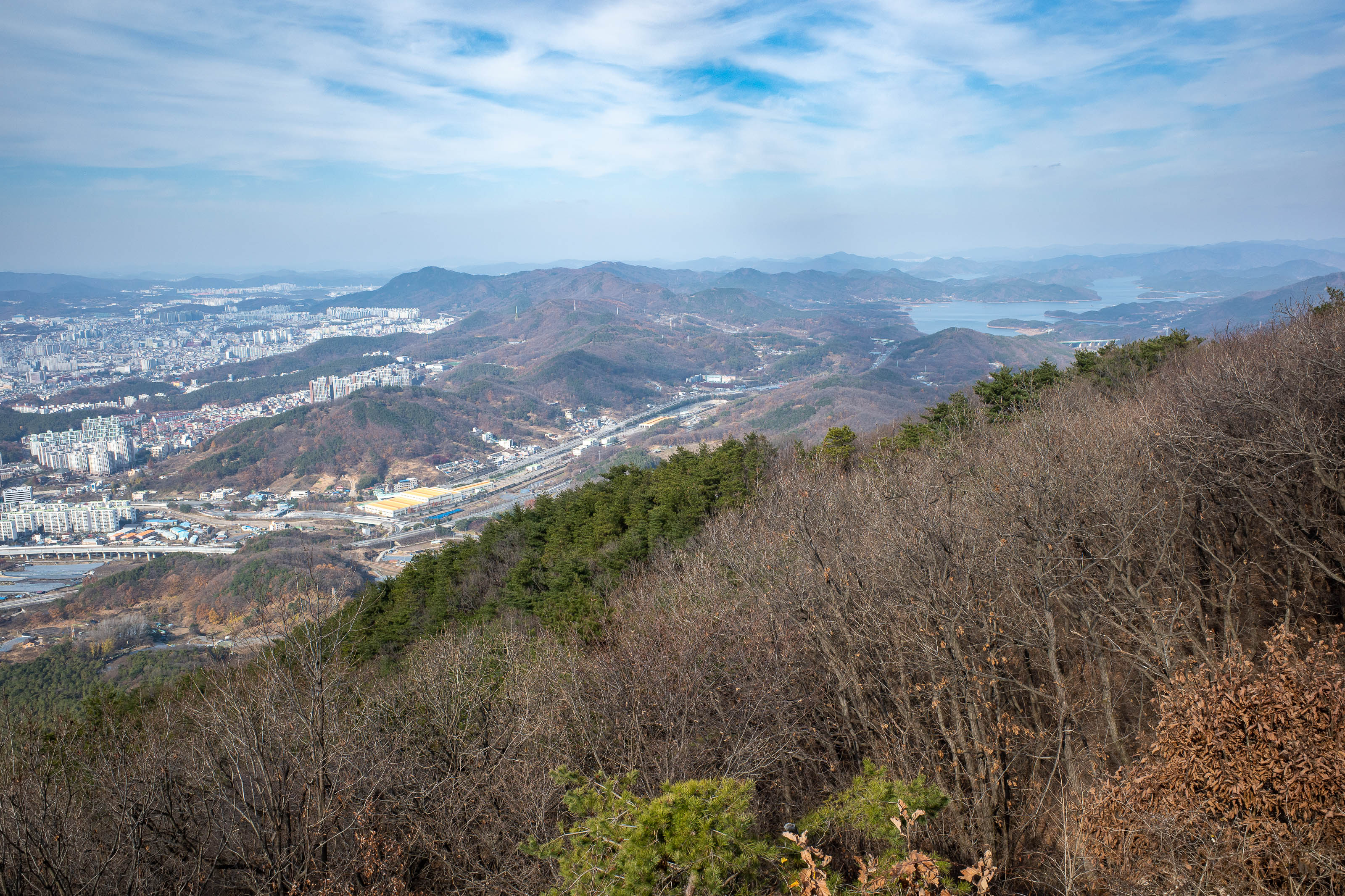
View in another direction, that lake looks interesting... Somewhere in those hills is the pilgrimage clay road I walked a lap of last time. I did it with shoes on, once a year they flood it somehow and do it in bare feet.
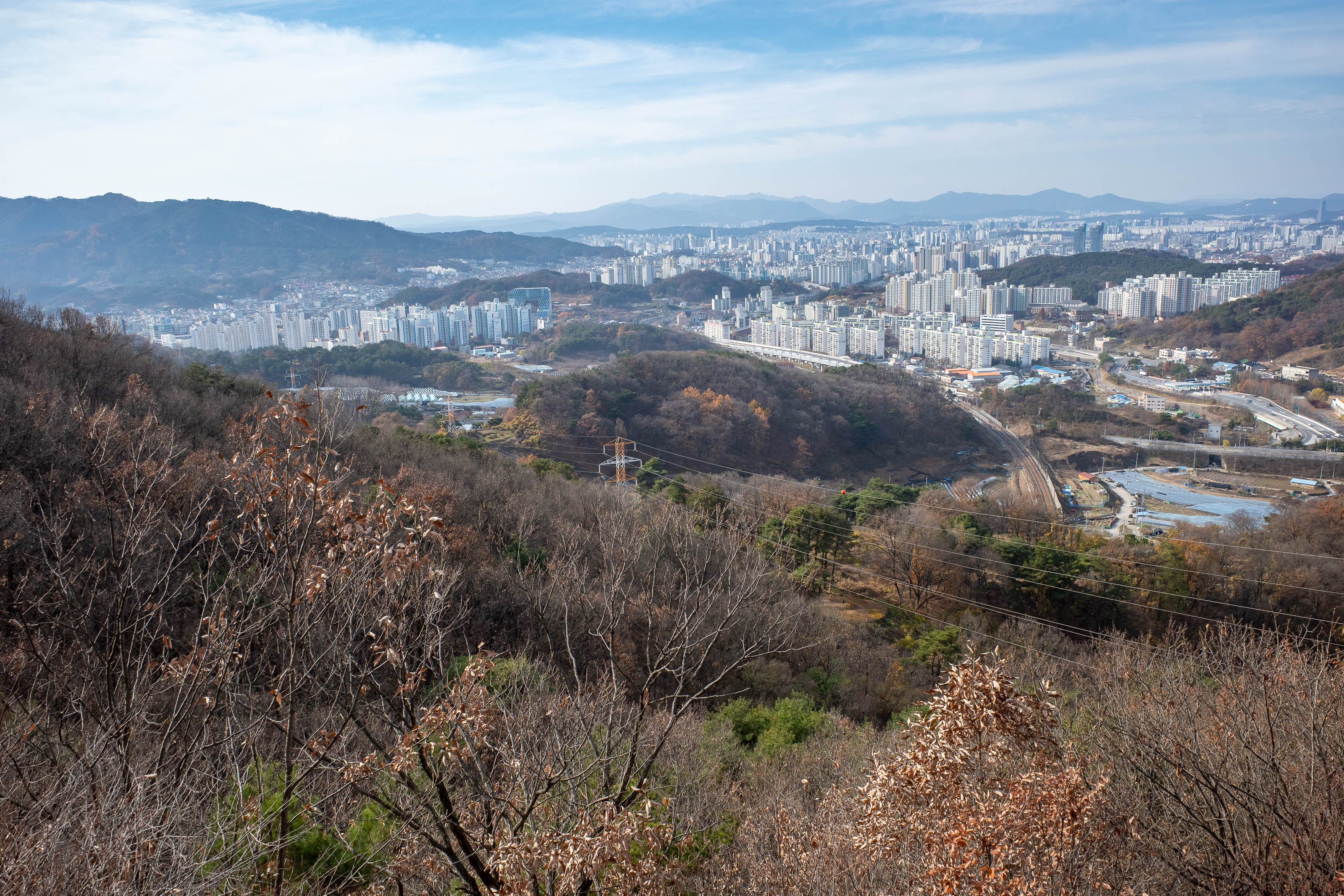
A view from lower down. I did not go the way I planned, I ended up using some forestry tracks because the trail I wanted seemed to no longer exist.
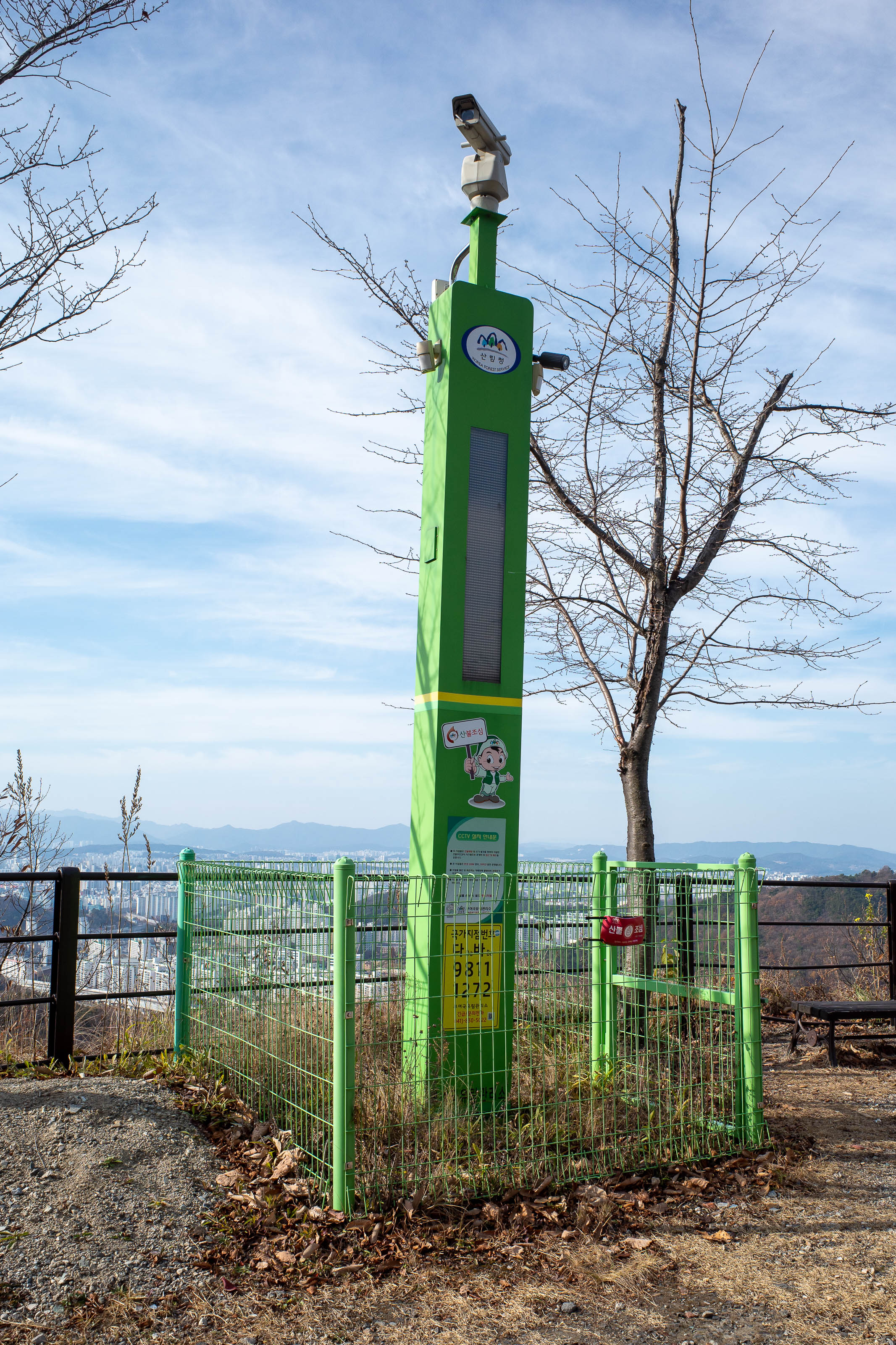
A remote forest fire detection robot. It speaks to you as you go past. I can neither confirm nor deny that I urinated on it.
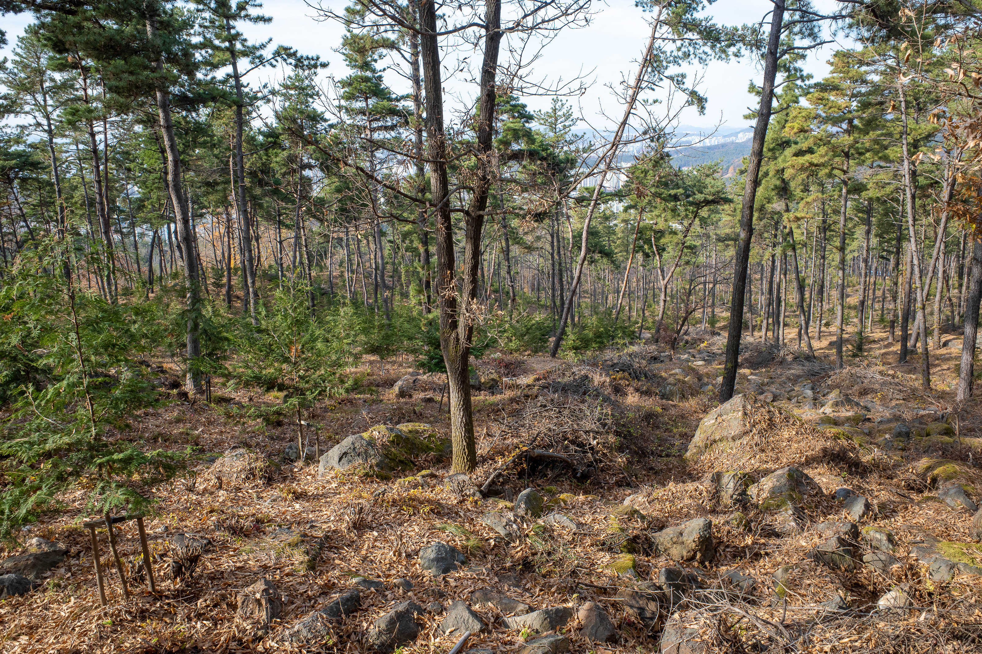
My path down went through some baby forests.
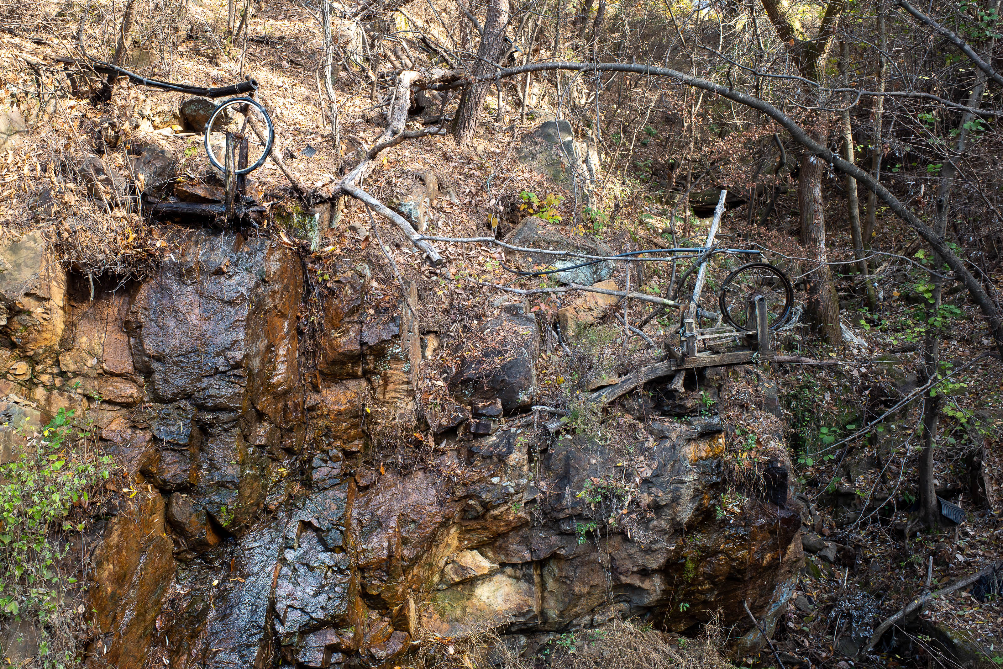
Water wheel world signalled that I was getting close to another shrine / temple.
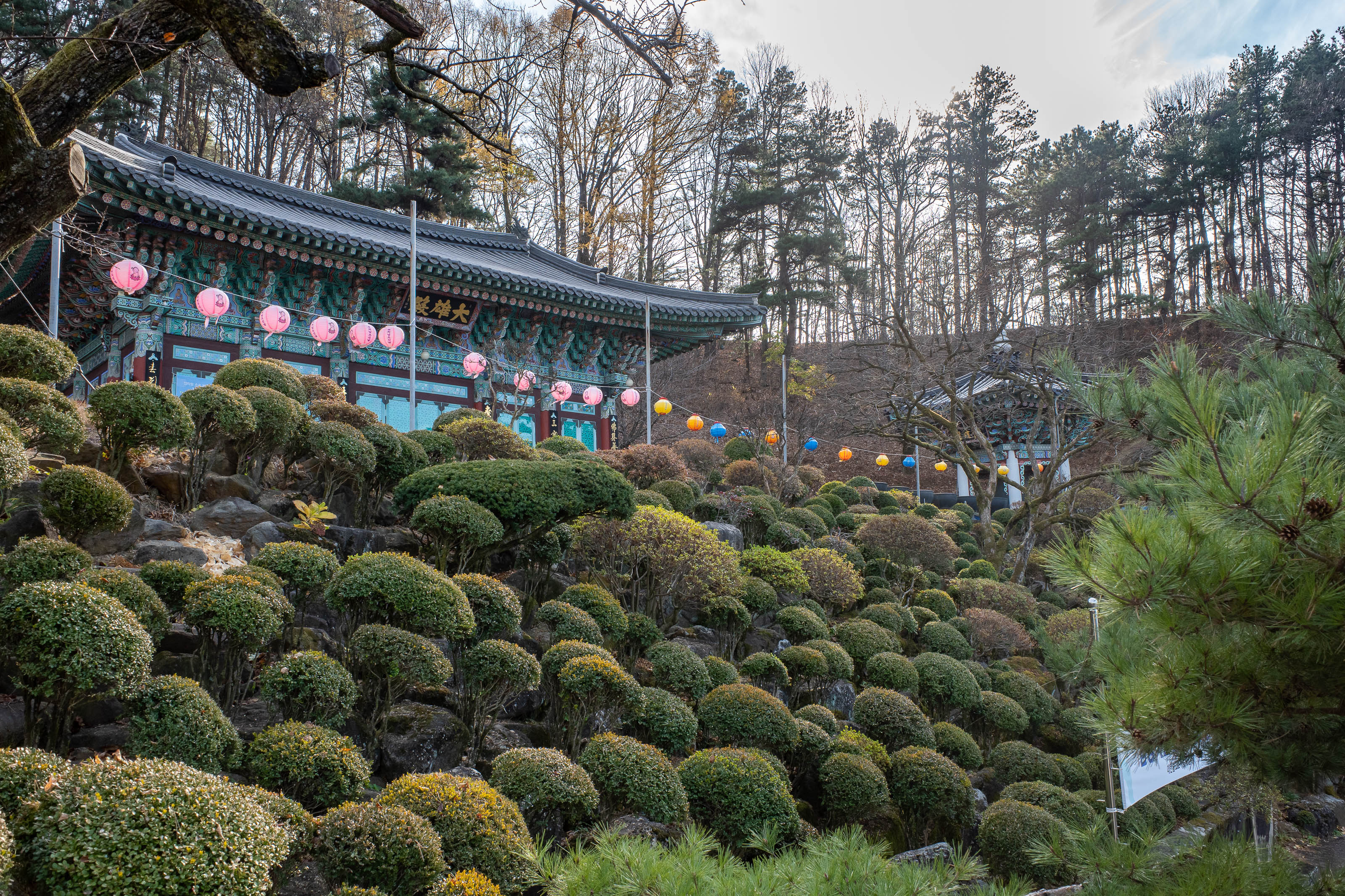
Lower shrine.
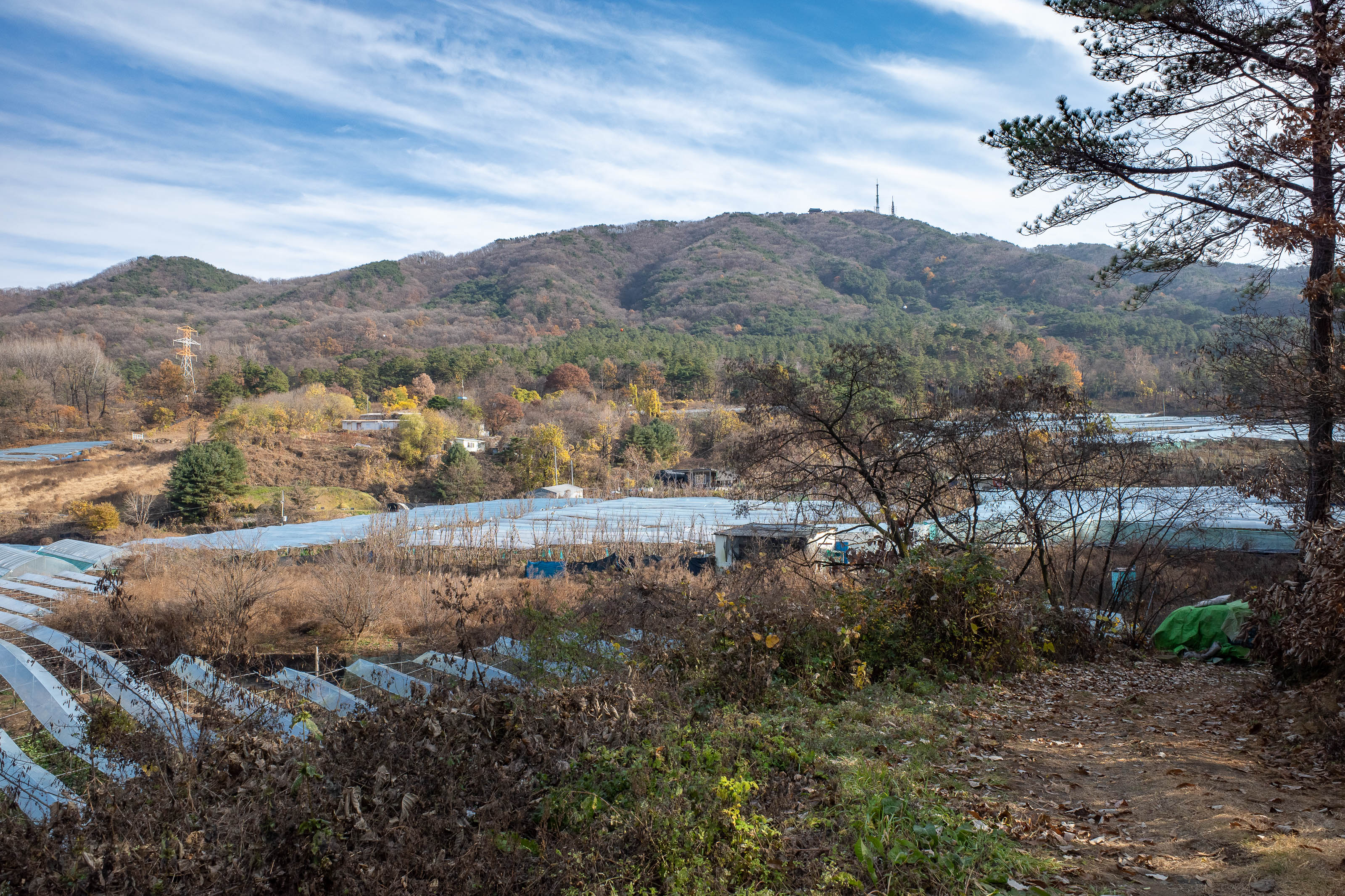
And for my last photo of a long day, a view back up to the antenna filled summit of Sikjangsan.