1 April 2026
To the observatory!
Yebongsan and Ungilsan from Paldang Station
Today I went to a hike I have done twice before. Once in spring, once in autumn. It looks better in autumn, everywhere does. The view is amazing, but not today, today it was very grey and at the end, it even got a bit misty. Still it is a great hike and very convenient, starts and ends right near different stations (Paldang and Ungilsan). There are choices of different trails and I think I went down a different one this time compared to last time, but possibly the same one as the first time. OK I better do the stats and get into the grey dead photos -
28,400 steps
1,231m vertical ascent
5 hours 16 minutes
1,534 calories burned
14.16km station to station
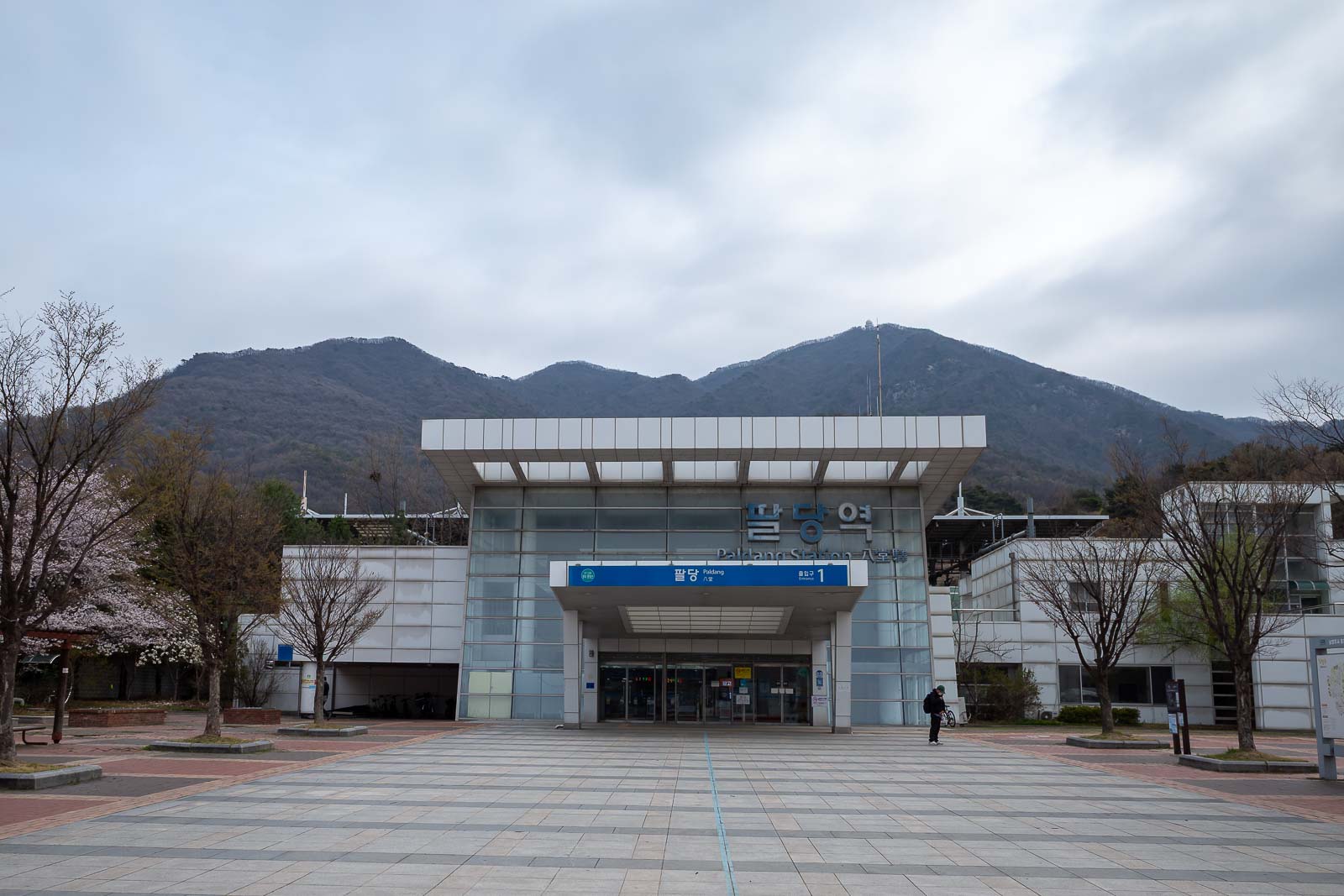
Paldang station. The actual trail starts very close to here. Be warned, there is no convenience store, so get your supplies before you get on the train.
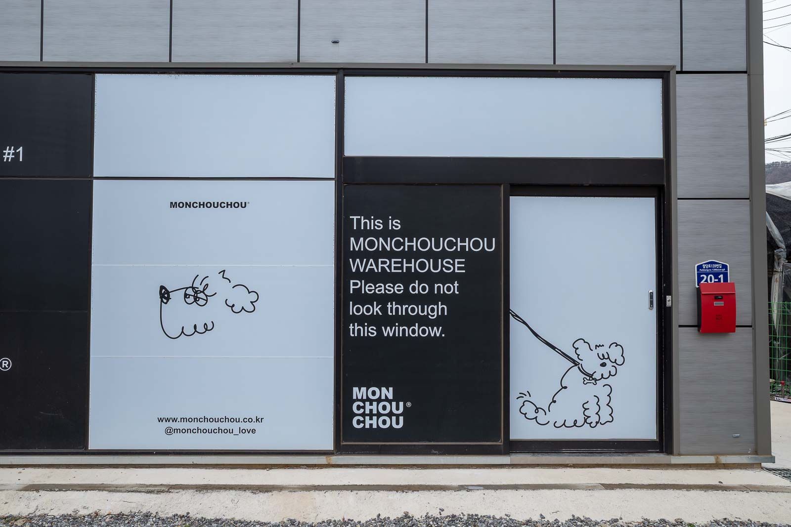
I really wanted to look through this window.
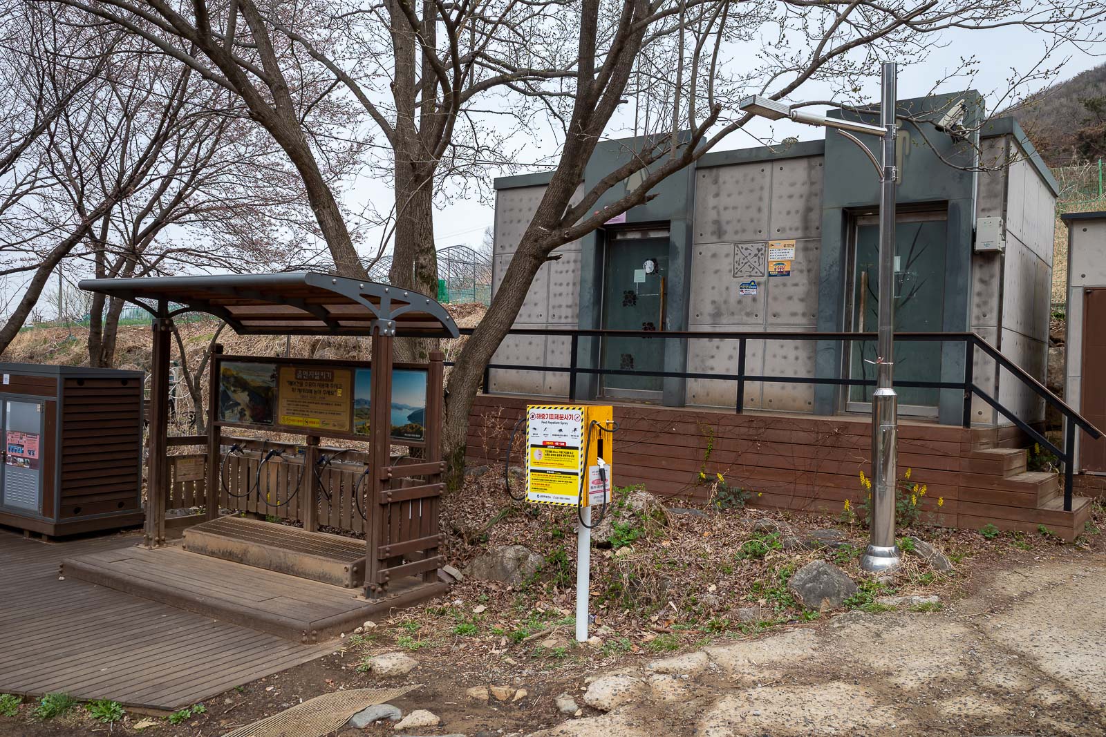
The public toilets and shoe blowers clearly identify that this is a well known hiking trail.
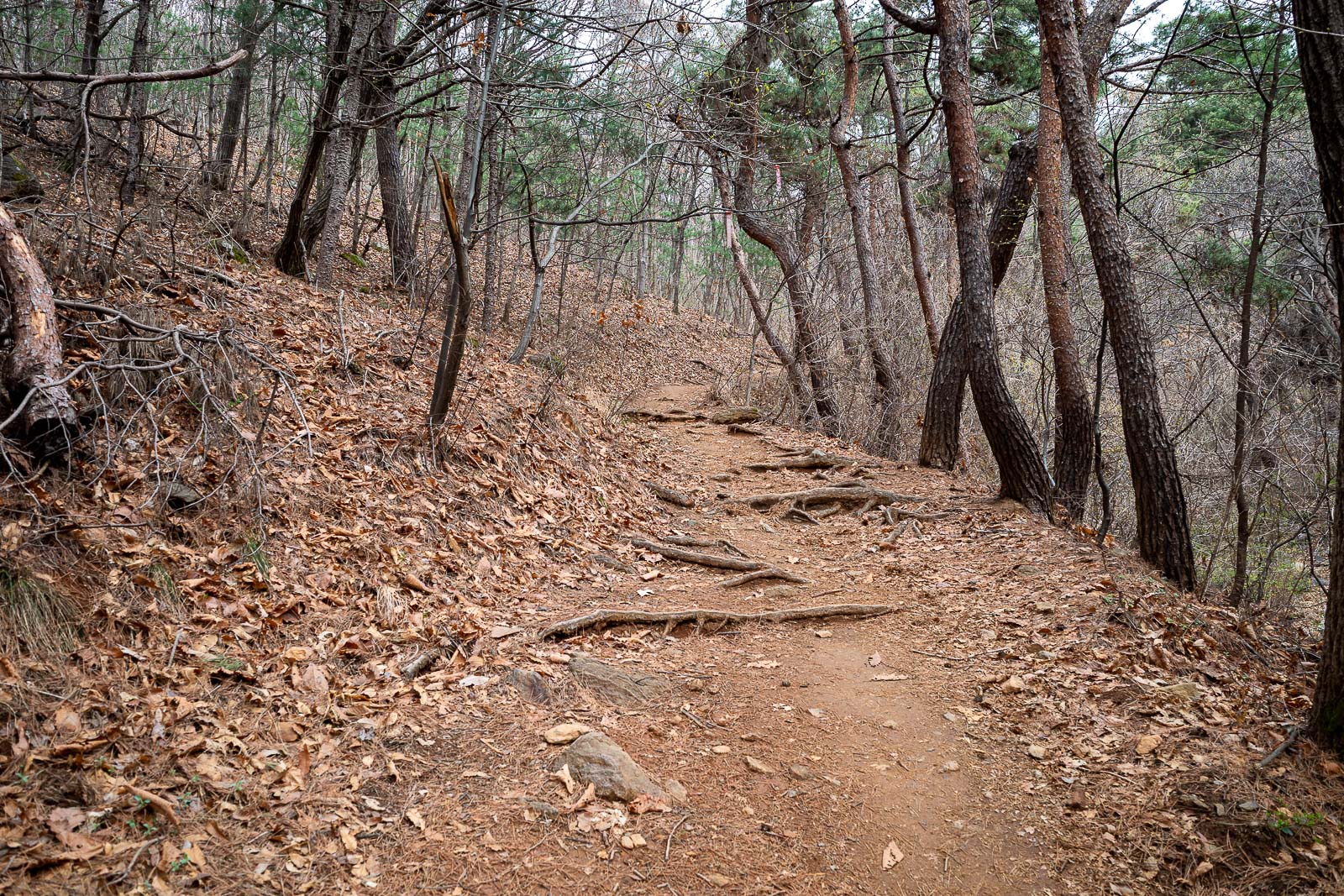
A few bits of greenery in the trees here, but still lots of dead.
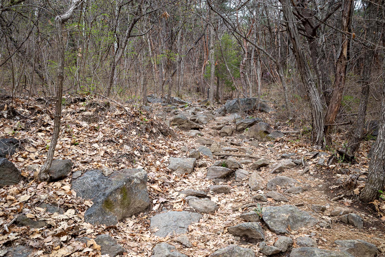
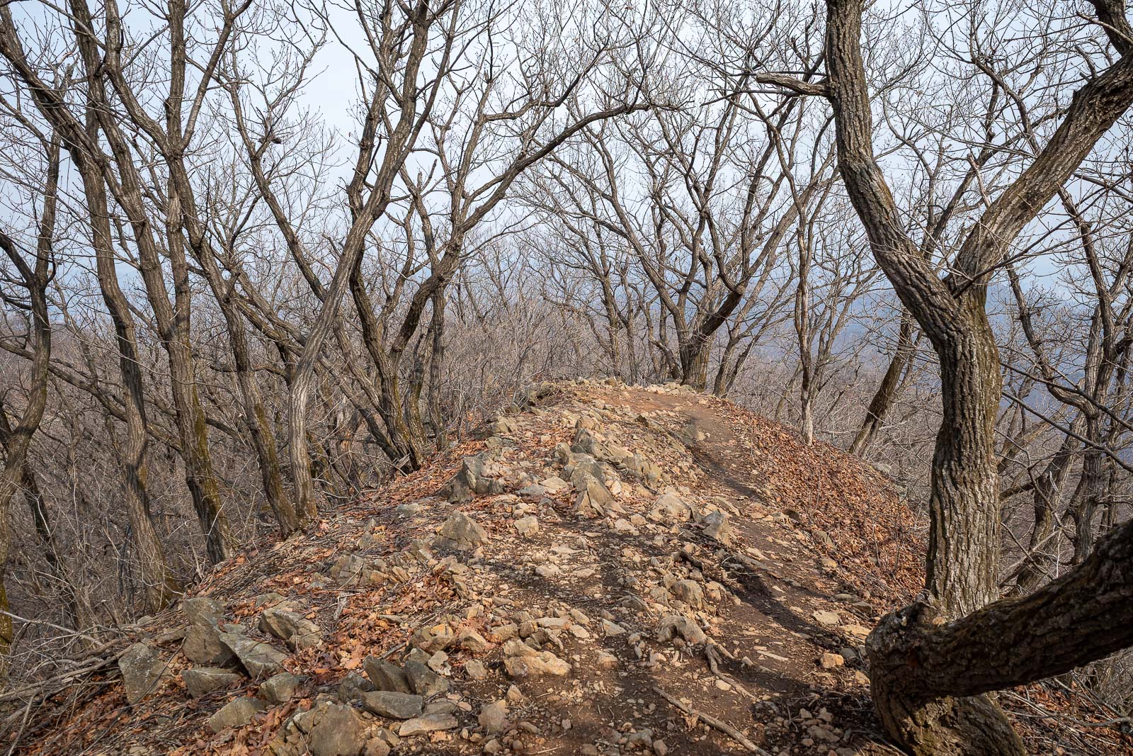
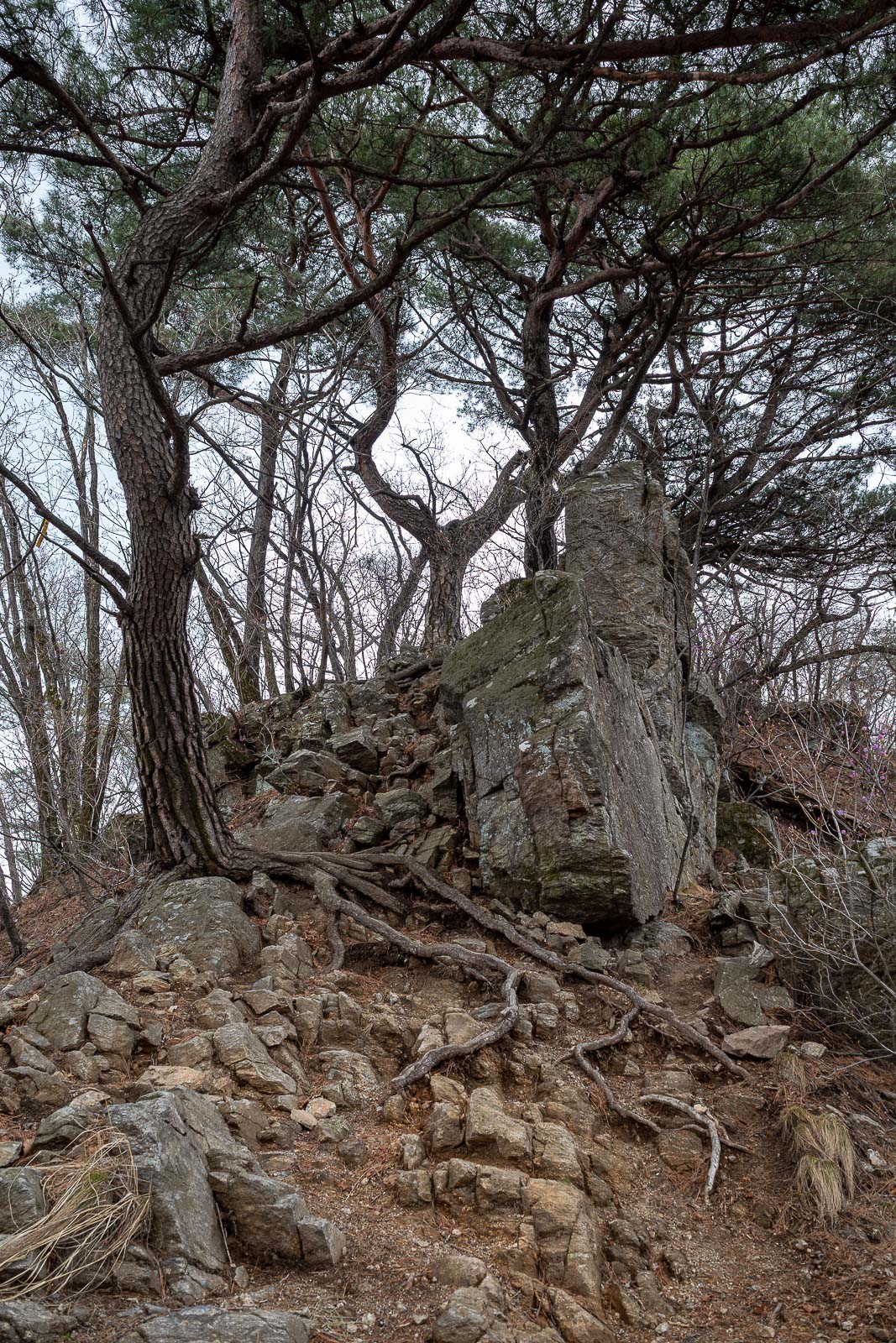
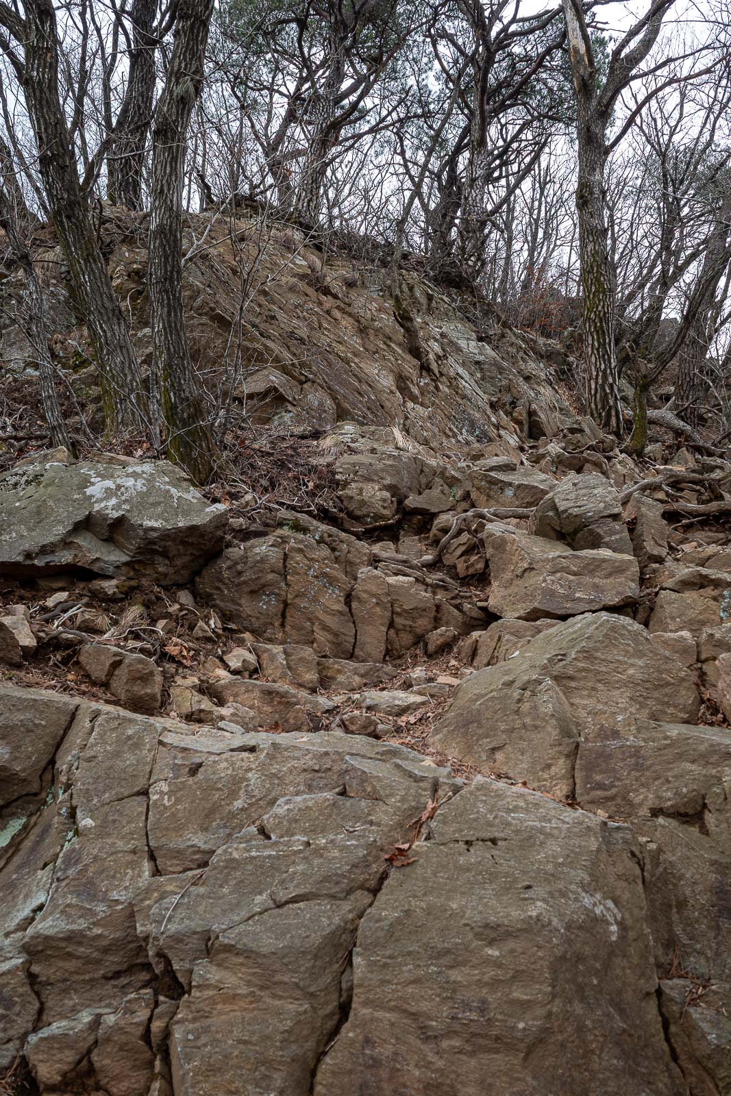
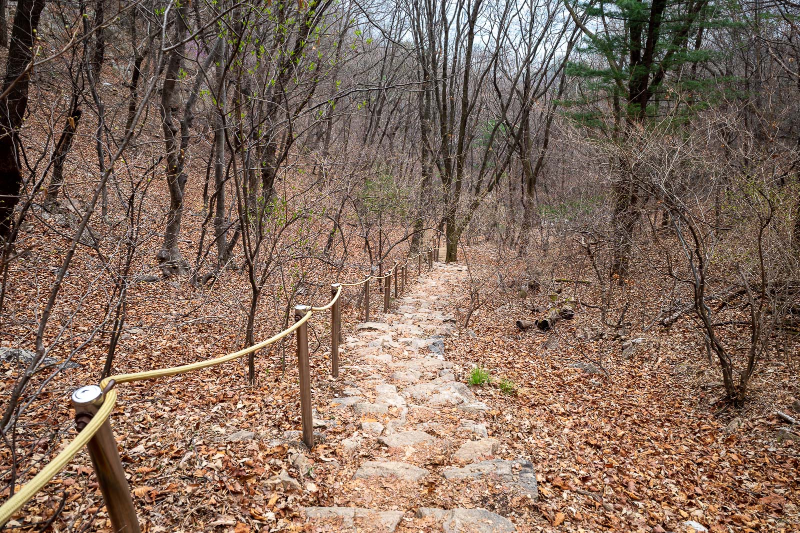
Rocks started. They would persist most of the day.
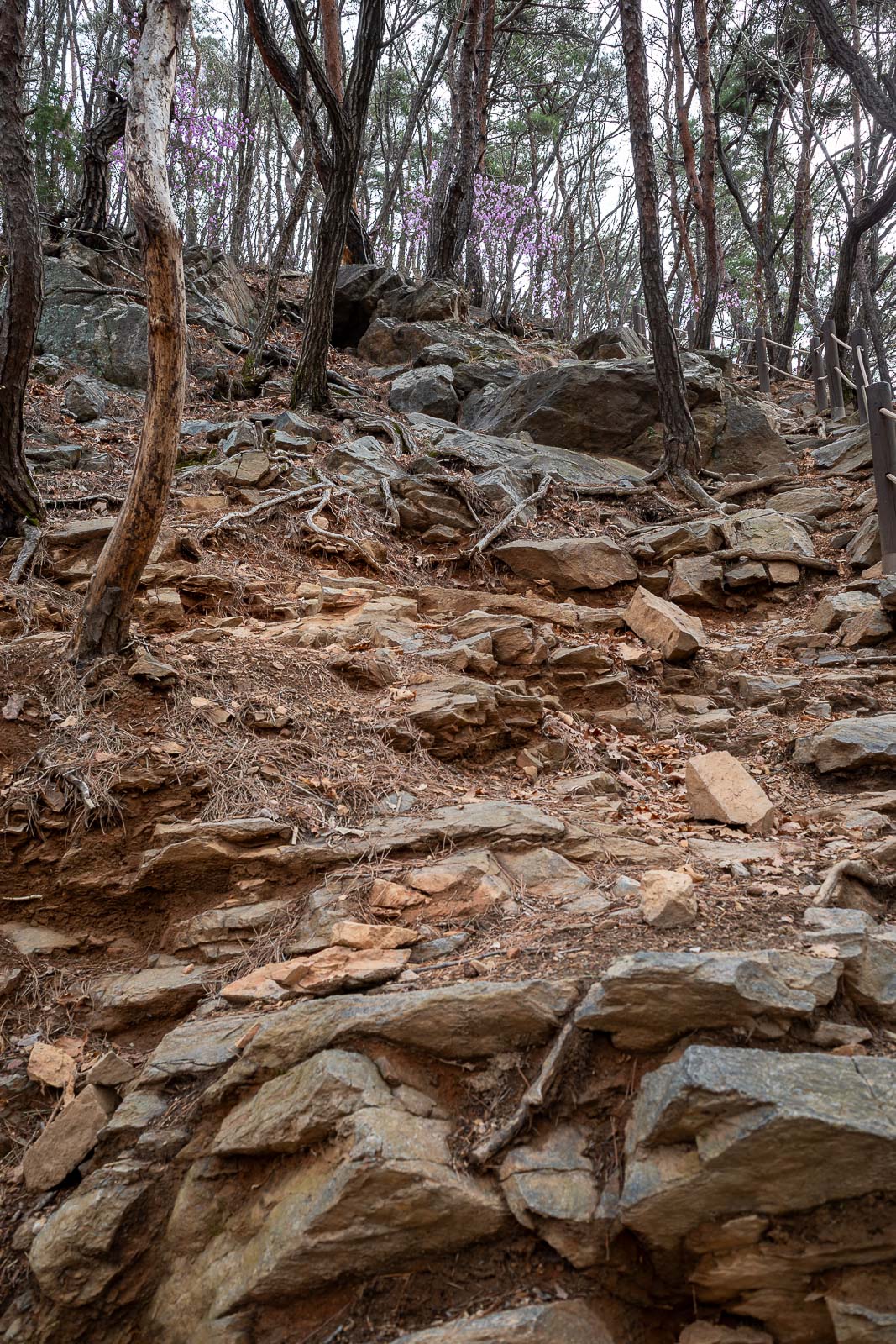
Lots of rocks.
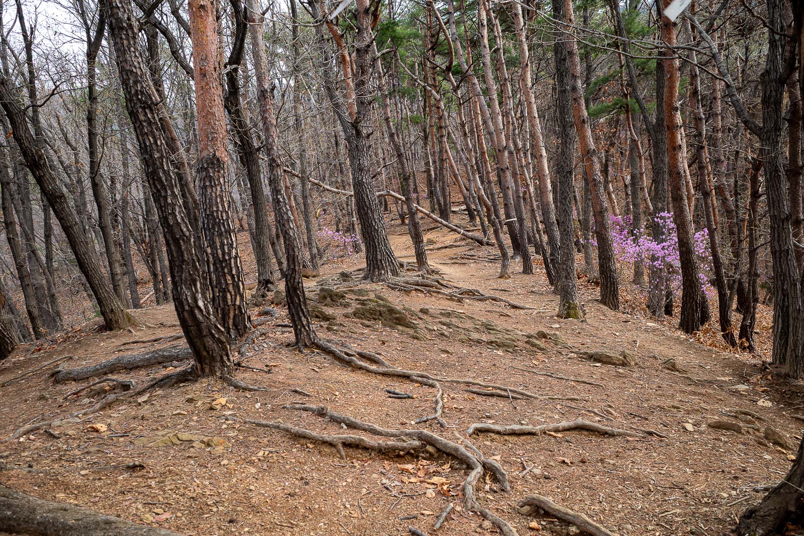
Here you can see the purple flowers that are part of the spring hiking experience in Korea.
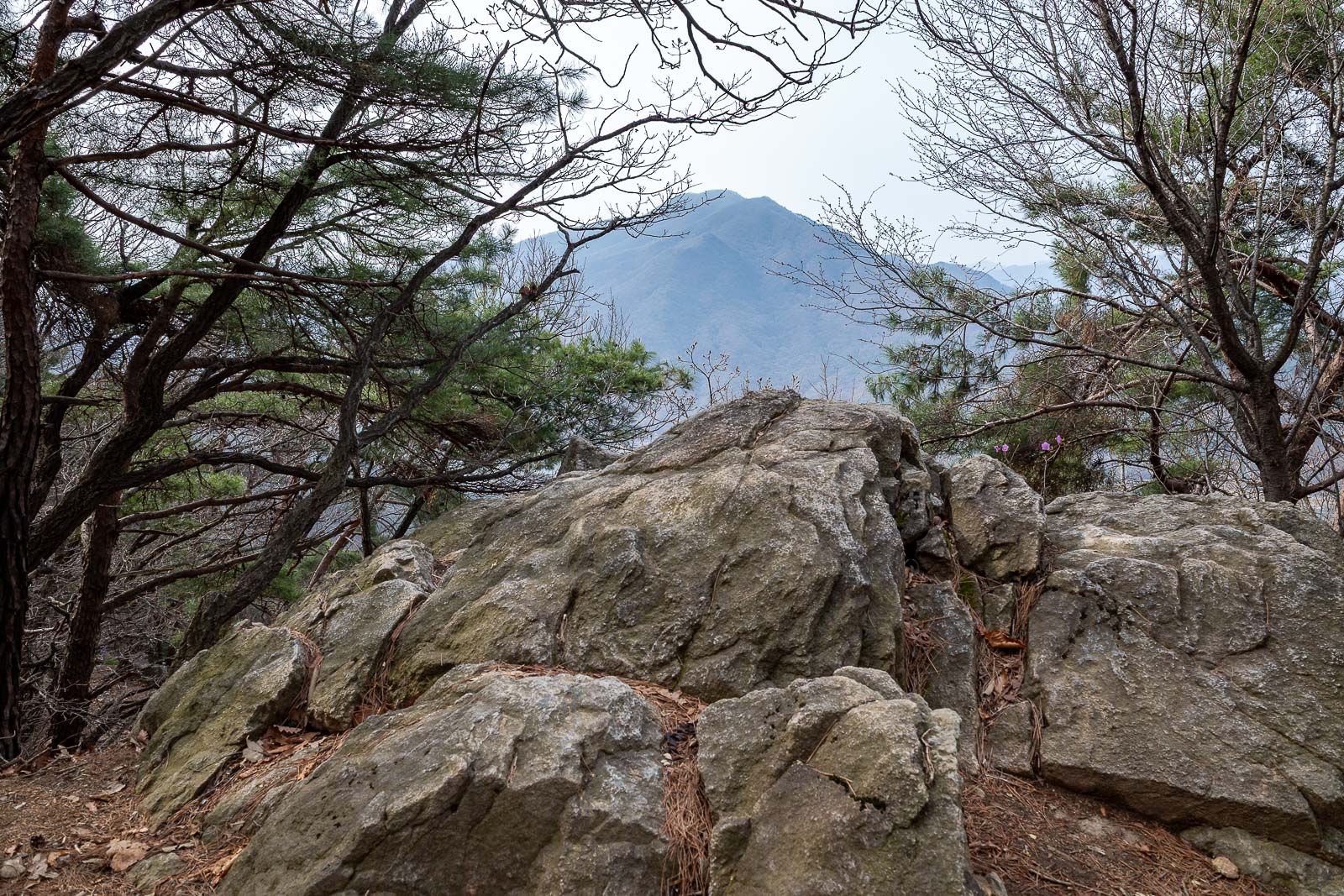
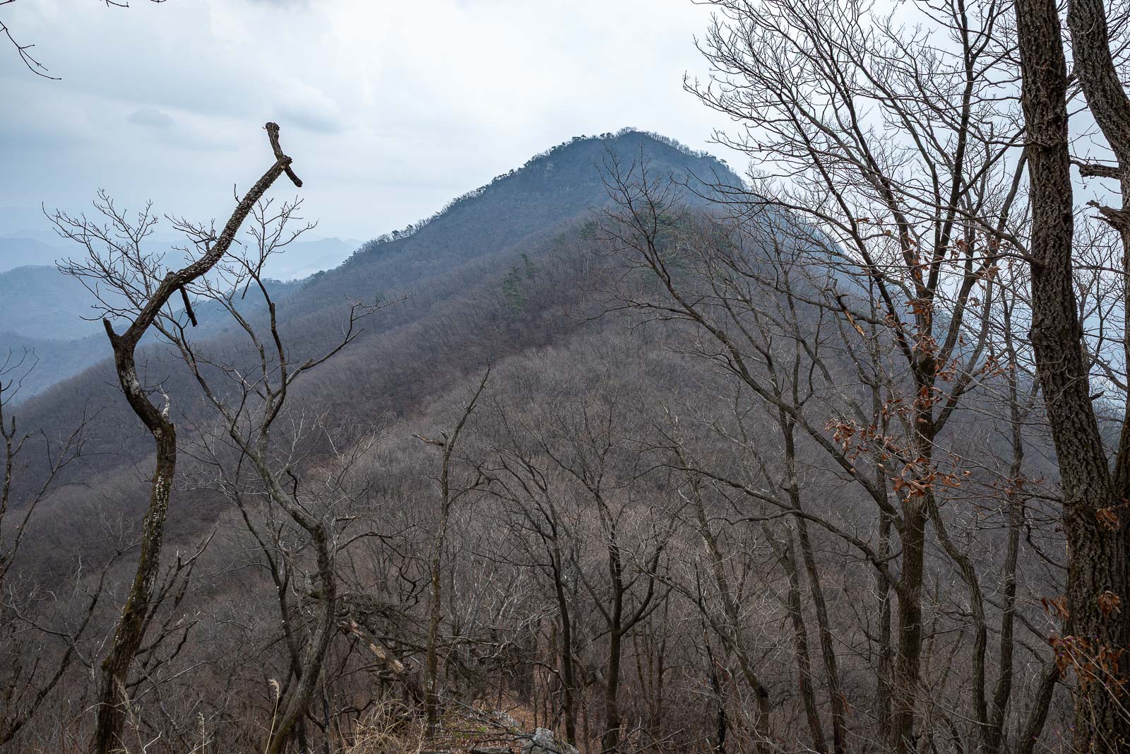
That mountain is across the Han river, I have climbed it before, you will see it again shortly.
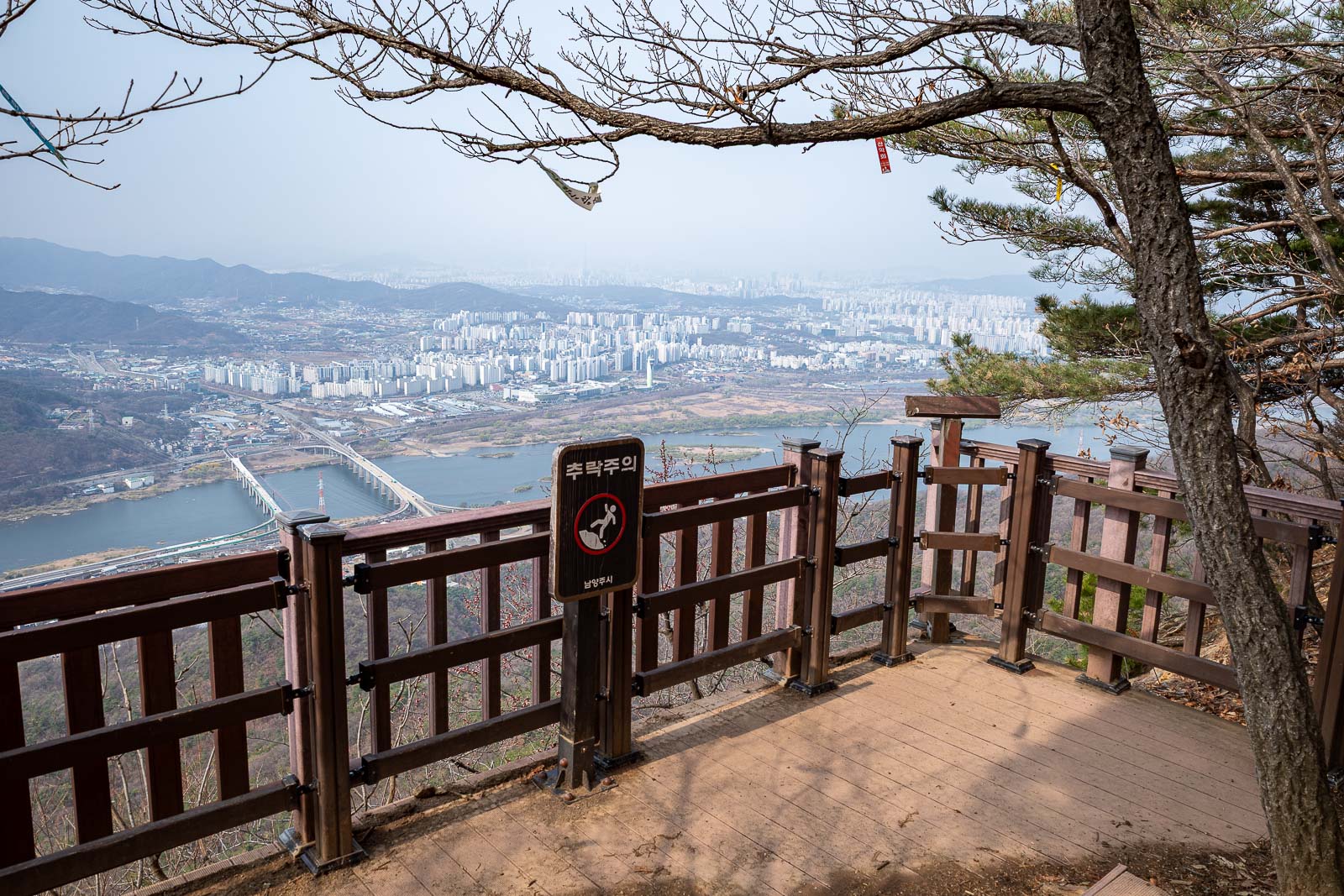
First view point. I have walked over one of those bridges when I started this hike from a train line on the other side of a river on a previous visit... there is a convenience store on the other side.
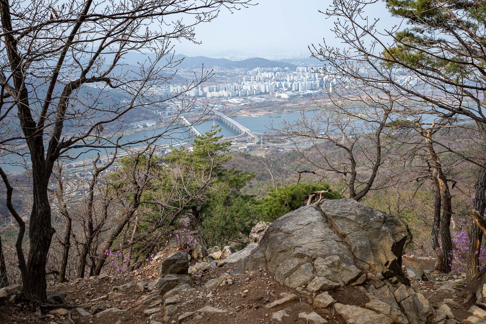
Probably the best view point of the day, I have definitely taken this photo twice before. Still decent visibility at this point.
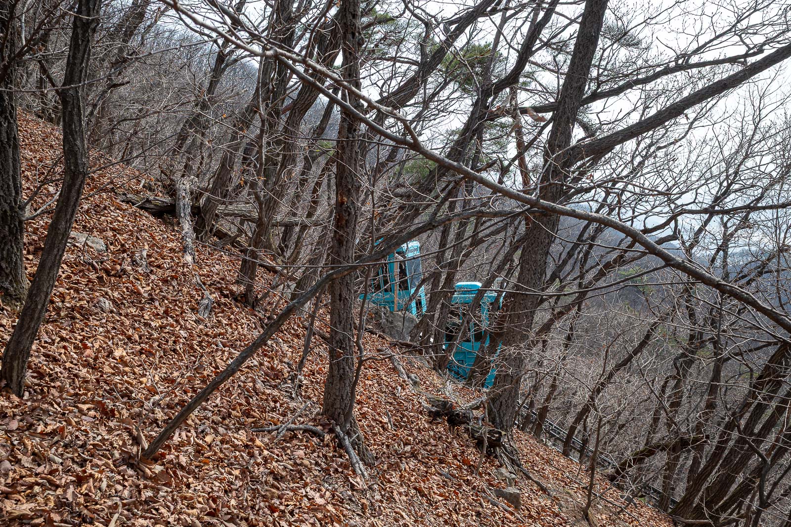
The observatory which you shall see shortly is in use, this tiny battery operated cable car or funicular railway presumably takes scientists up and down from somewhere.
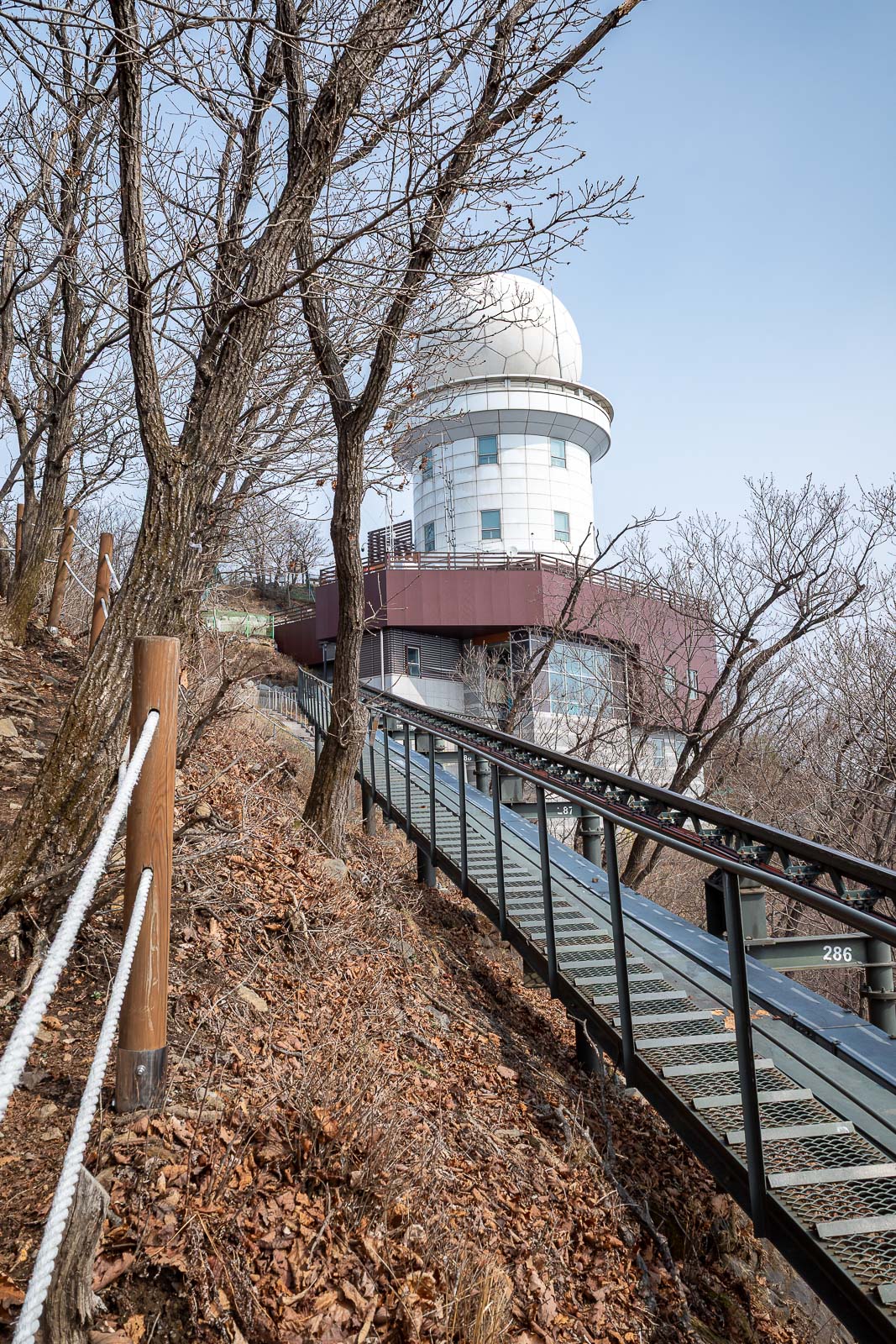
Behold, the observatory!
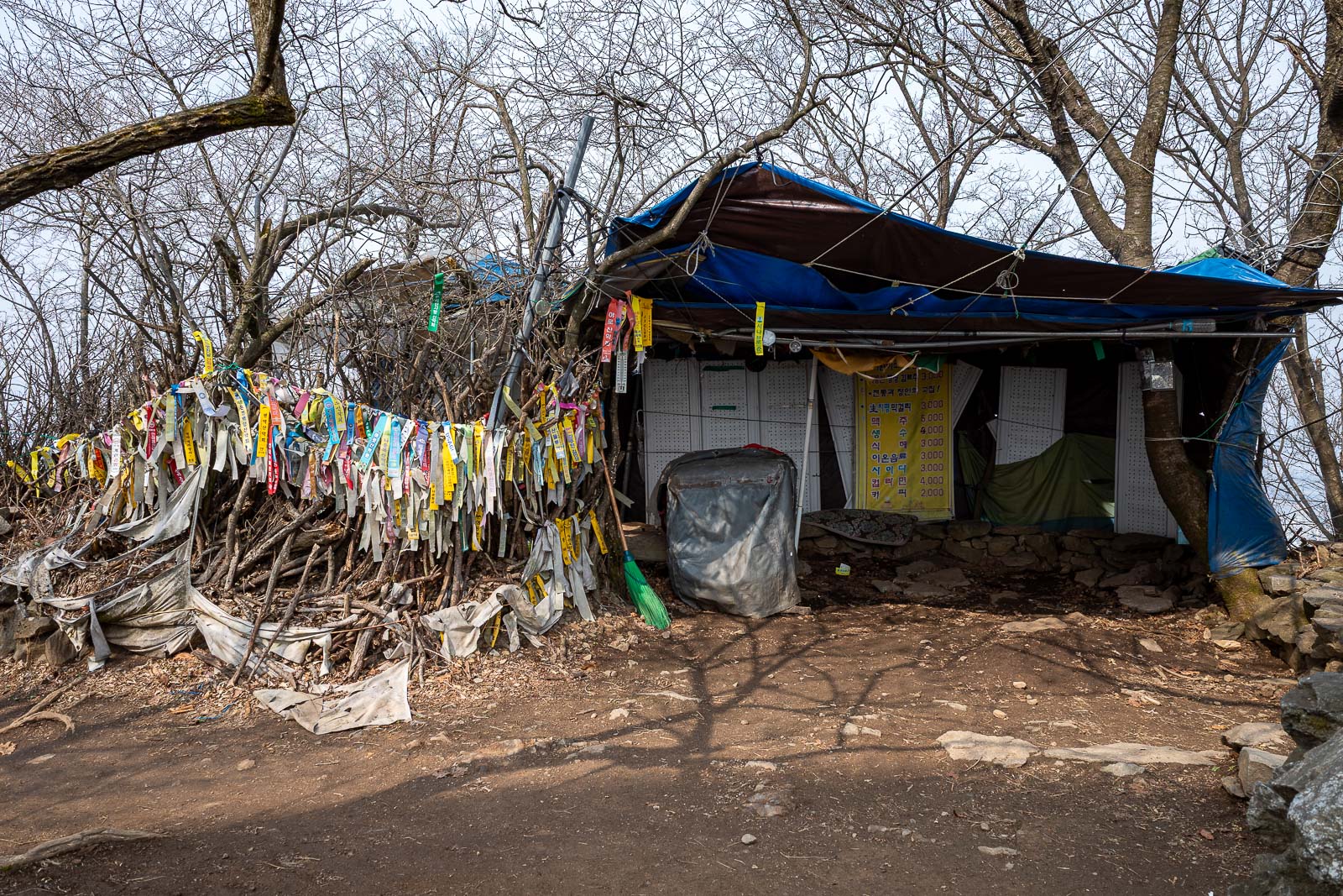
The summit area, and all the hiking club flags. I think on weekends an old wizard sells ice creams inside the tent, possibly transported to the top by the scientists.
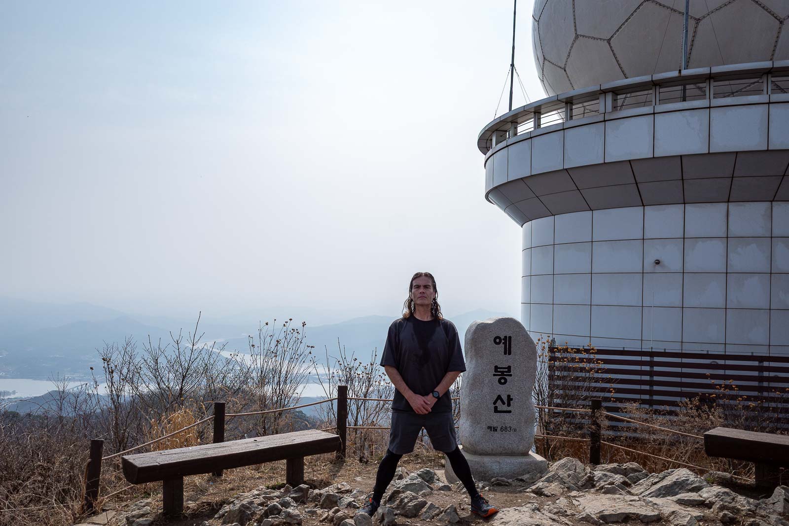
This is the infamous spot where I noticed one of my cameras had huge dust spots, which ultimately destroyed that camera. Also, I am not sure why my hands are in front of me, stance shots require hands behind back.
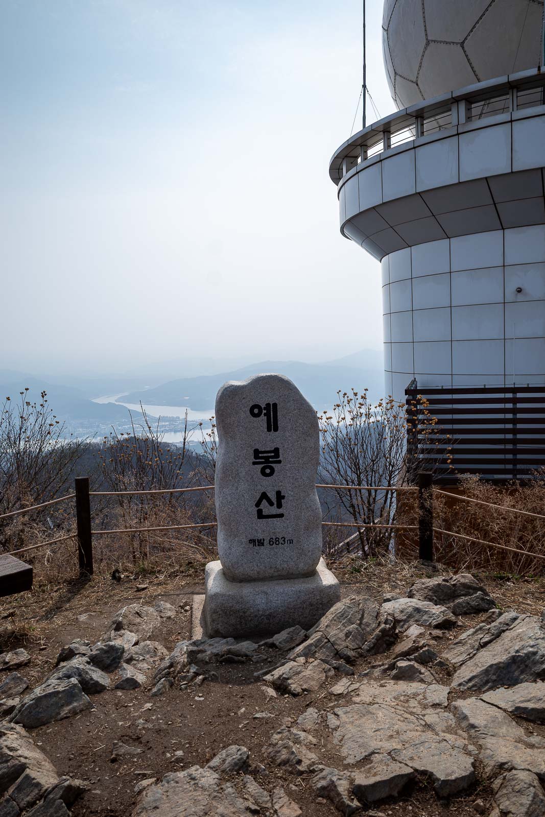
Same shot without me. There was one other guy at the summit briefly, he went down again, weak.
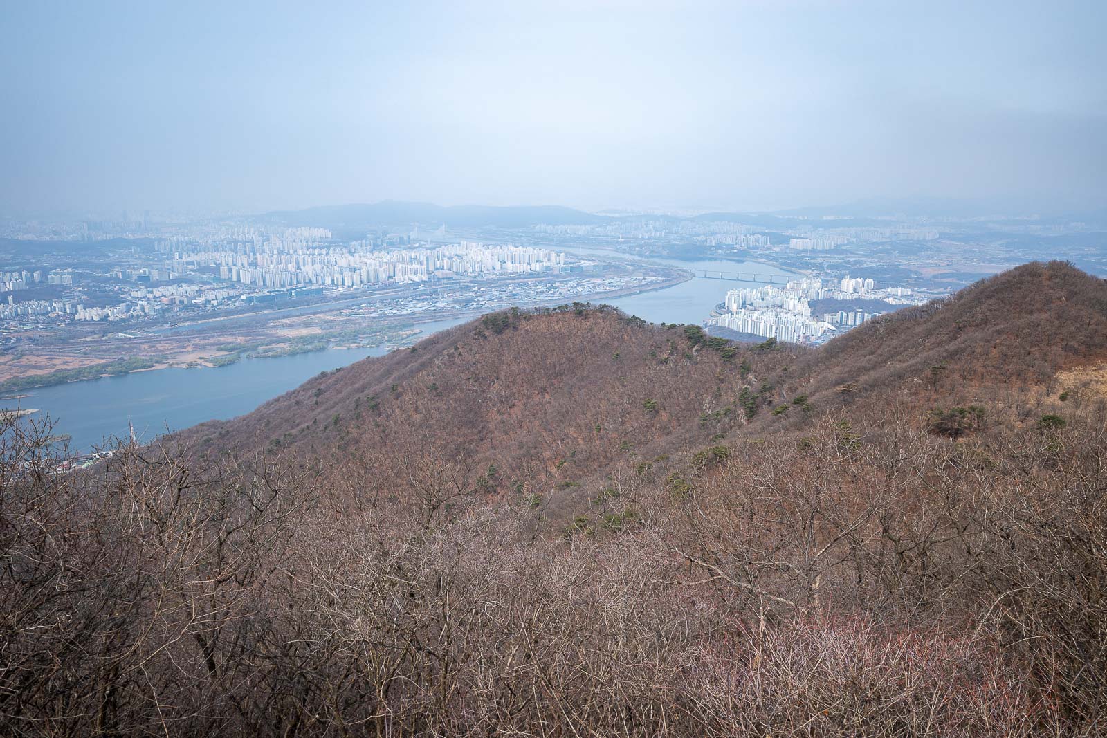
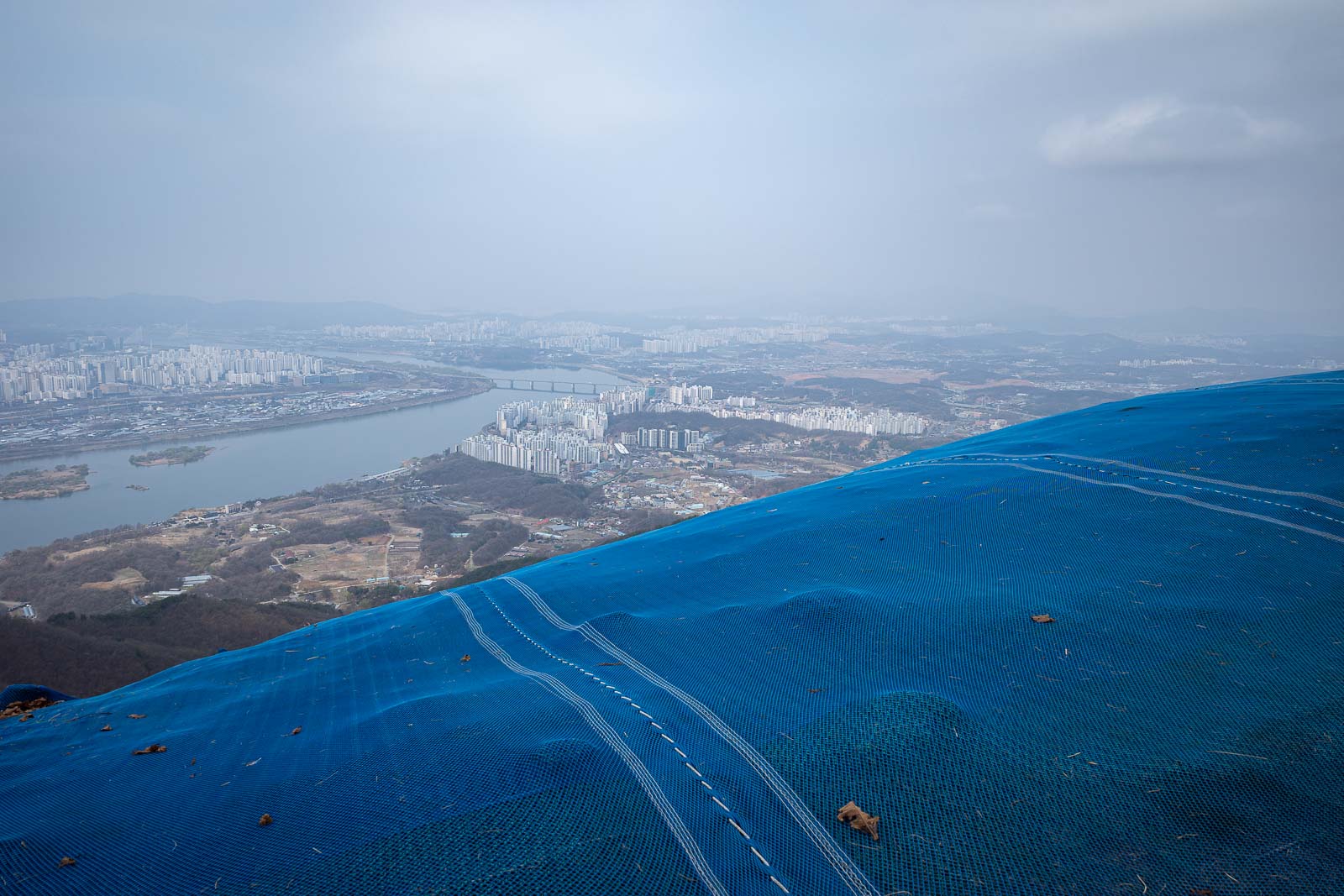
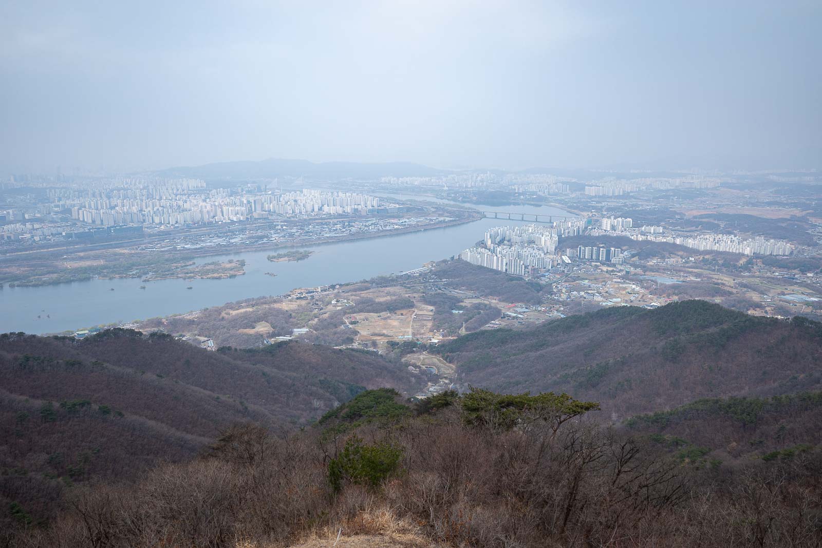
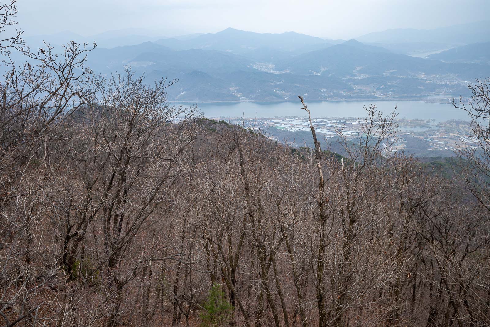
Looking back towards Seoul.
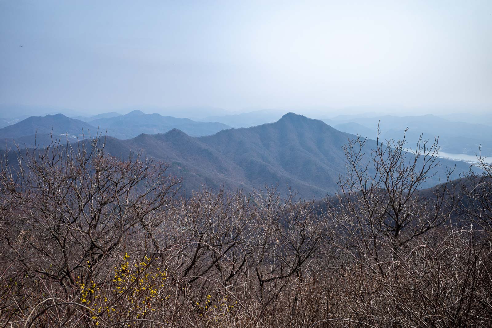
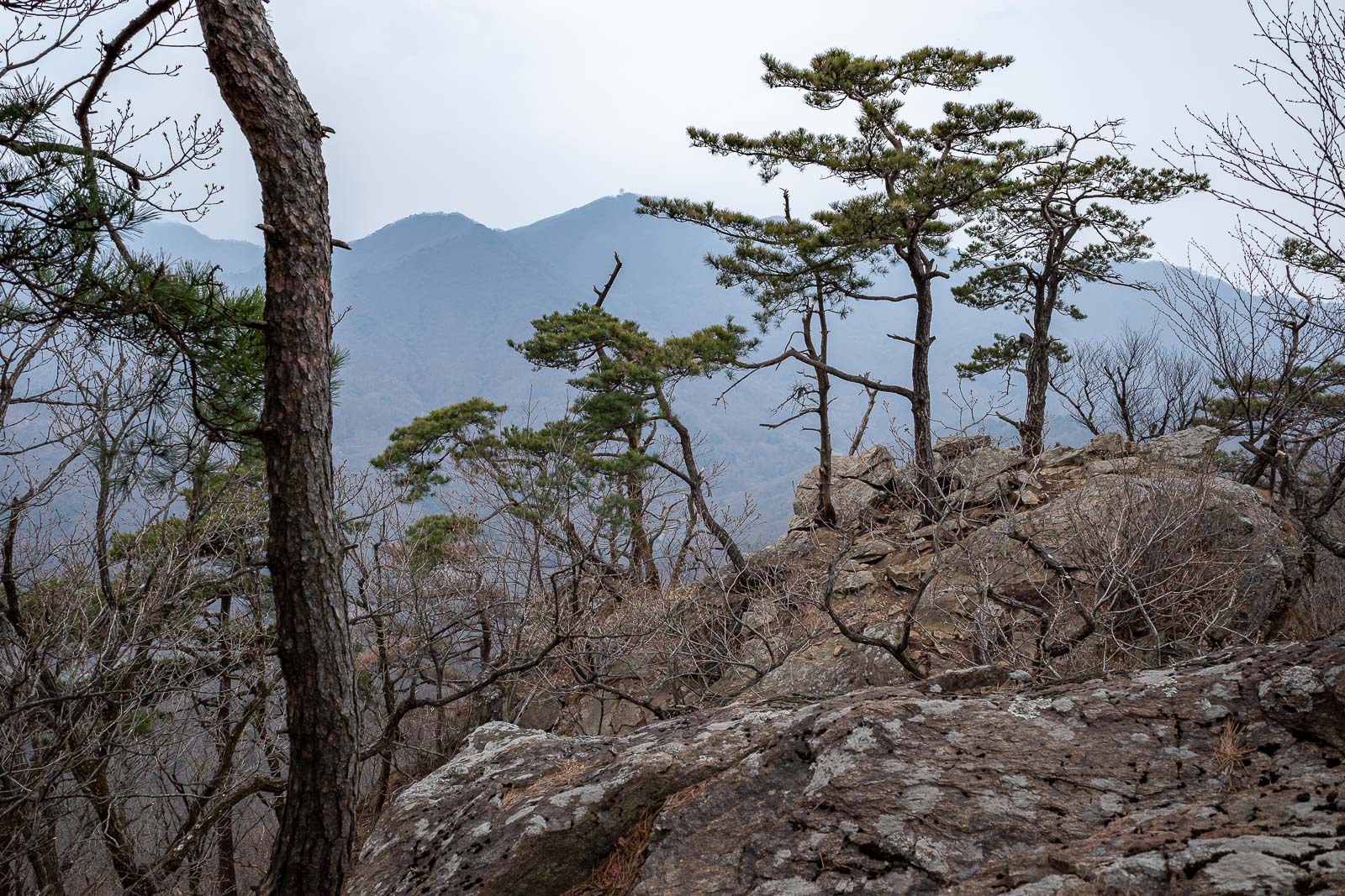
I shall continue along all of those ridges. The haze is making for a strange twilight.
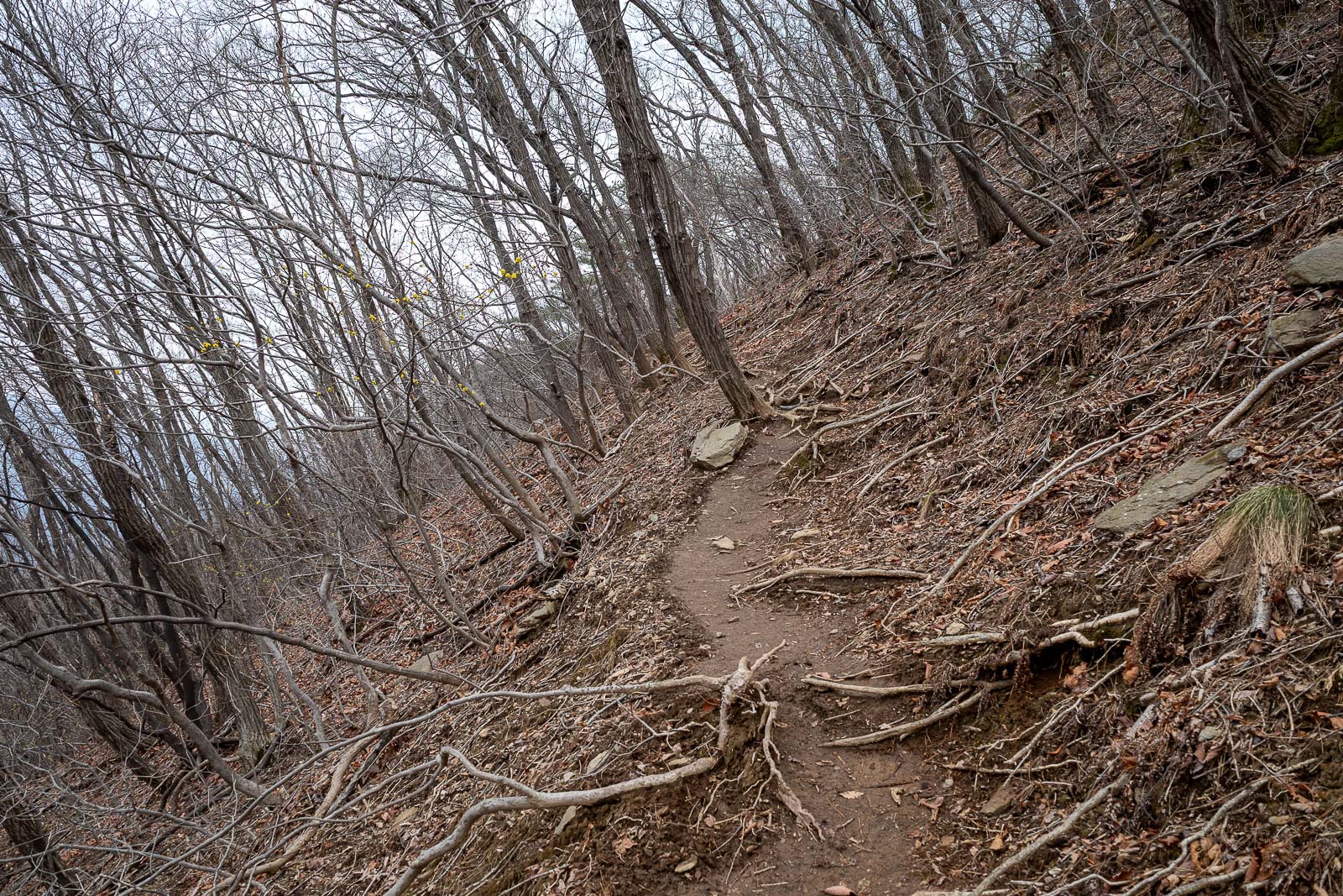
Last time I briefly took the wrong trail and had to double back, no such mistake today.
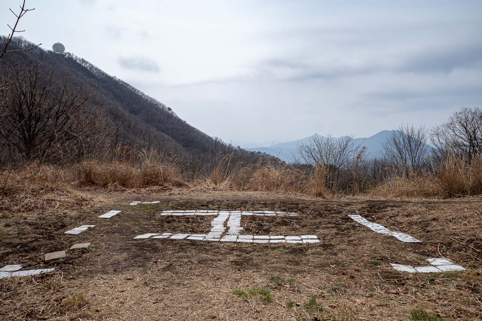
The first opportunity for me to get rescued by a helicopter. You can see the observatory here too.
This is a hang gliding launch point. When I arrived here the first time I did this hike, I was surprised by this. There is a strange dirt road that comes up between the mountains to here, it is not on the map.
I launched myself to take this photo. Getting darker and a bit misty.
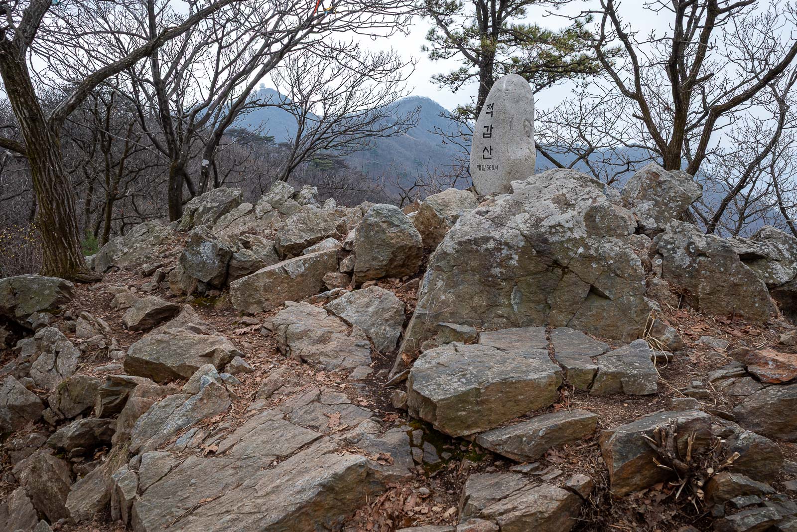
Next peak, no view, lots of rocks.
Believe it or not, probably the only dangerous part of the hike, the slippery brown muddy bit is on a bit of an angle, my foot slid sideways a couple of times.
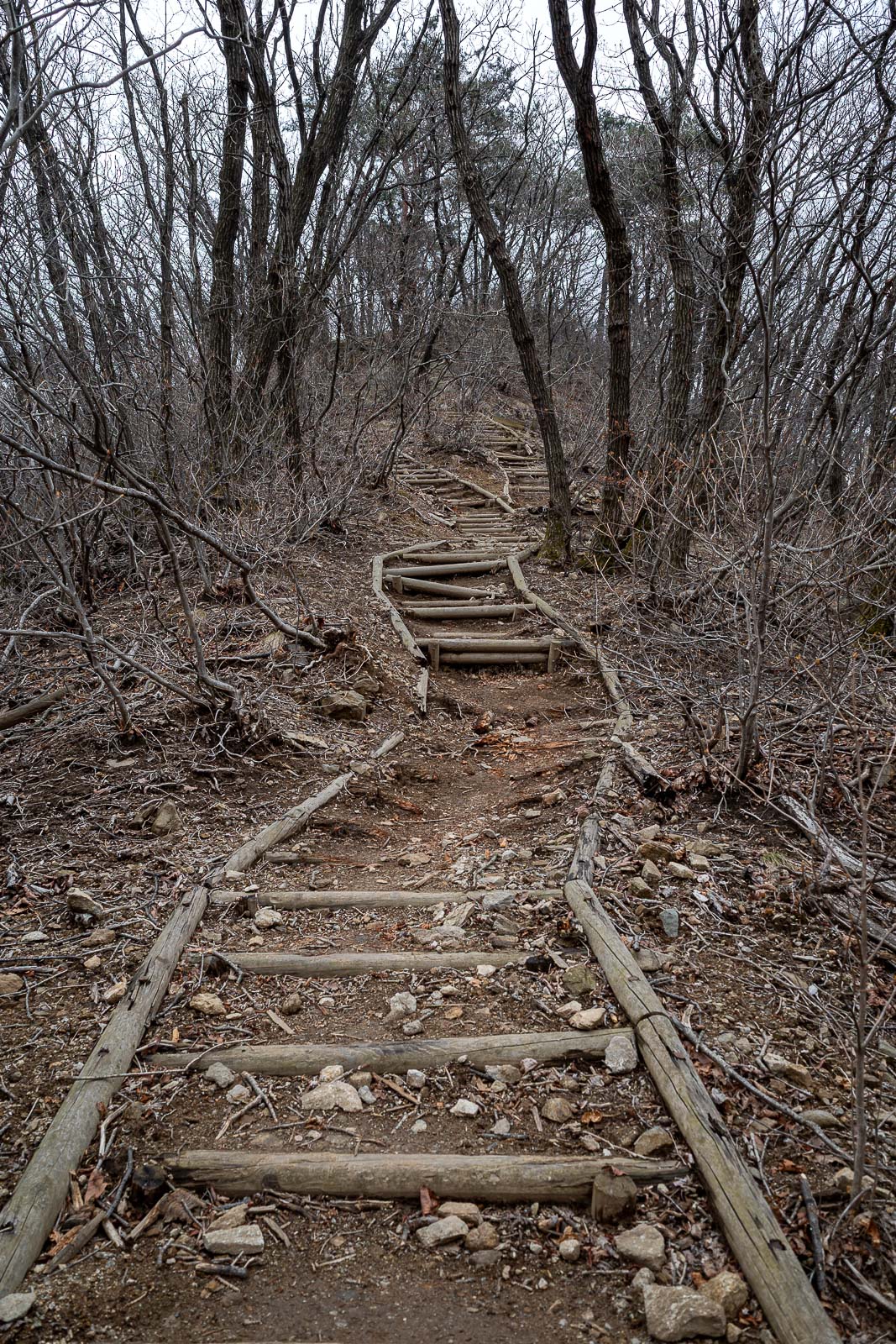
This staircase has seen better days.
The next and final peak.
Things got a lot rockier.
The final ascent is very tiring.
Squint and you can see the observatory, near the end of one of the branches, far away.
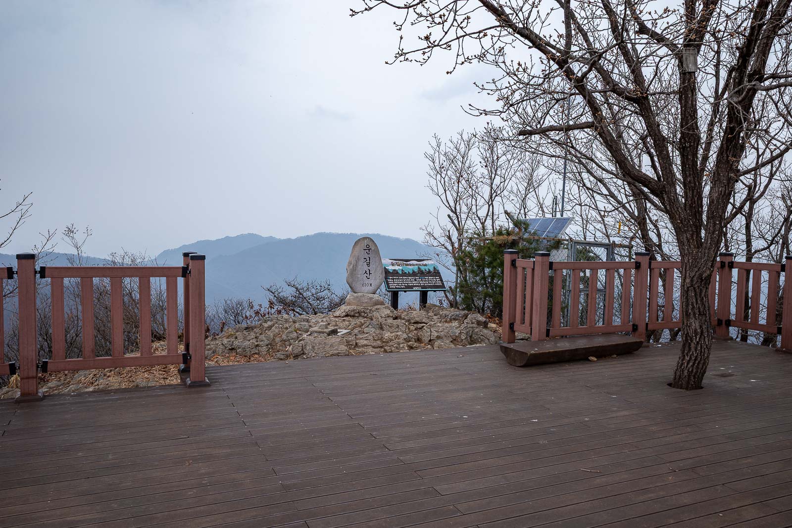
Final summit, with a big deck. A lot of people come up to here and turn back, the path between the summits I saw no one at all.
Now I will go down there.
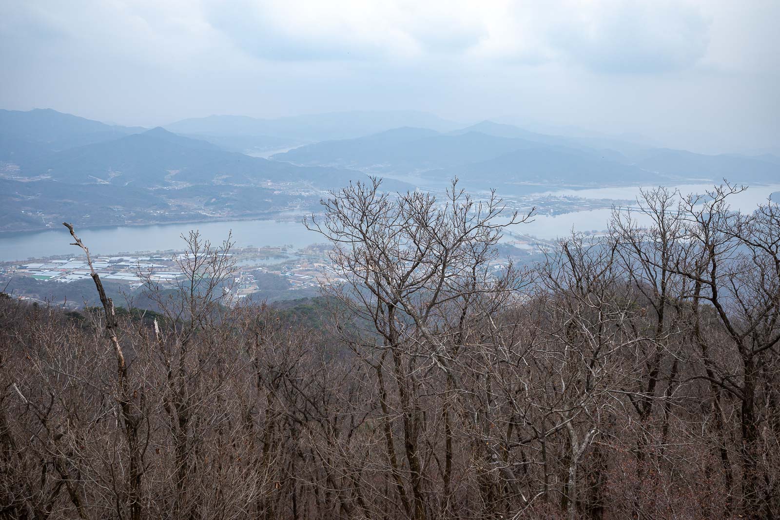
I have a great shot of this view on a clear day, not a great view today.
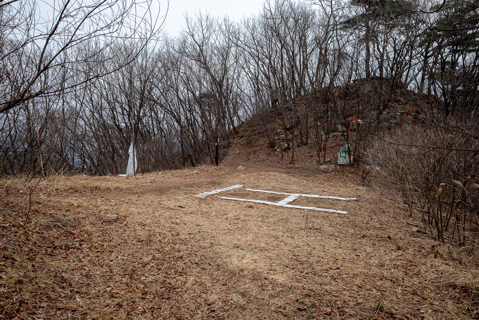
Last chance to get rescued.
Right near the end and a rocky staircase appeared.
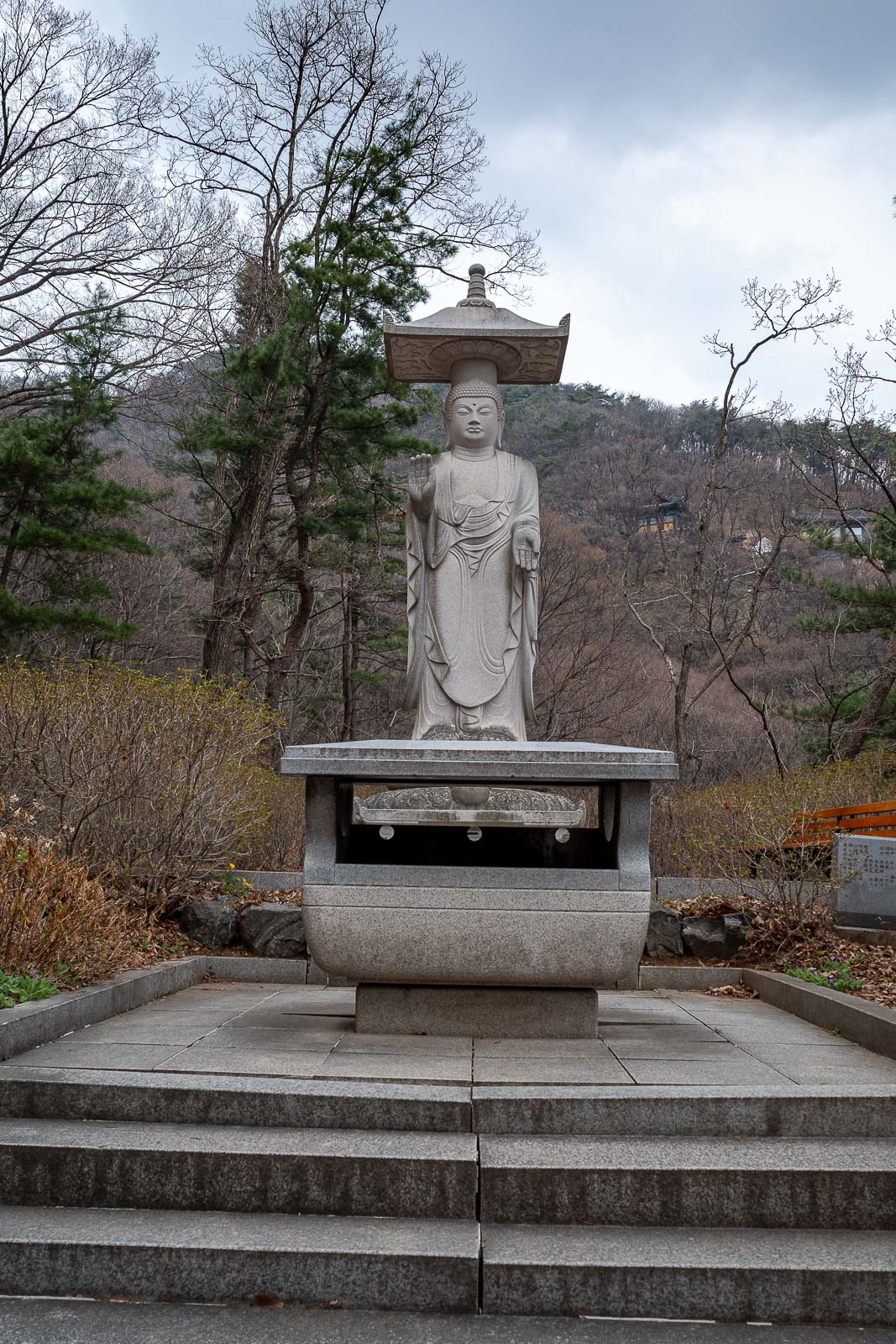
The friendly skinny Buddha signals the end of the trail and the start of a road back to the station.
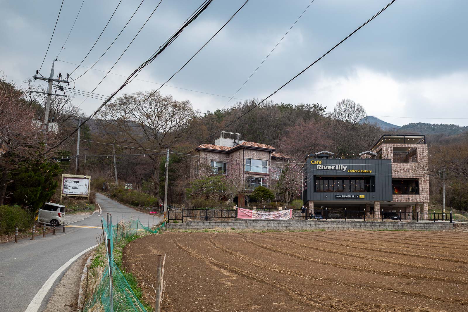
There are a few cafe and holiday house type places around the bottom.
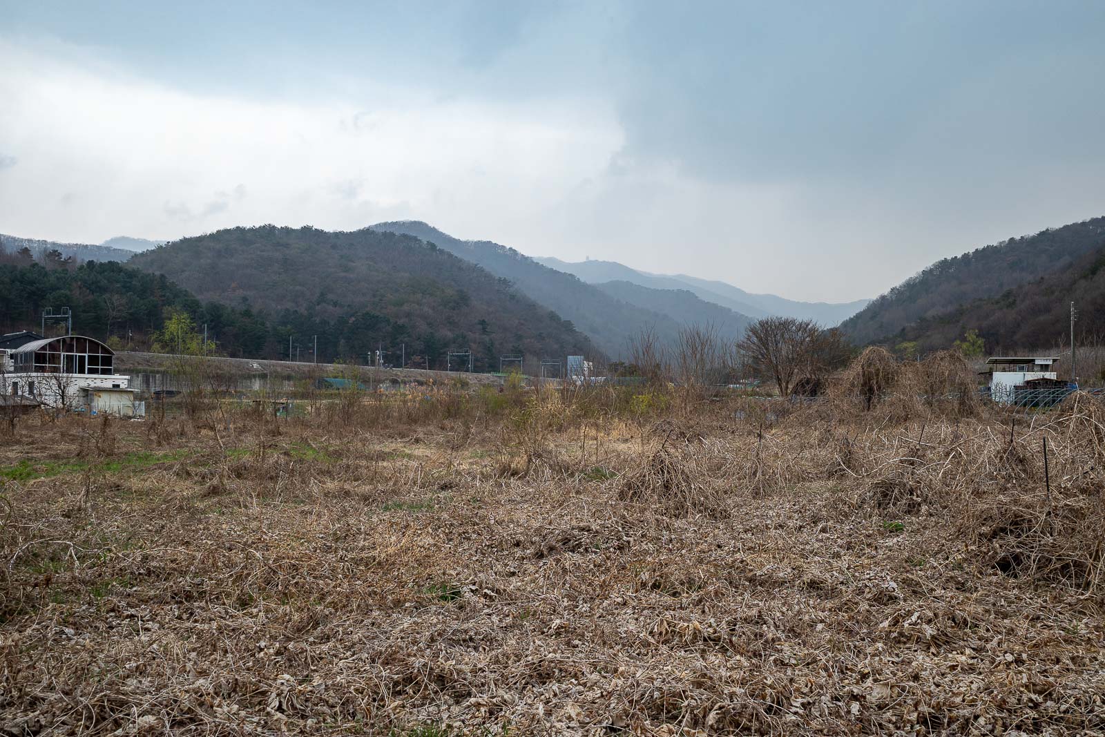
I have taken a photo here in autumn when the field was full of crops. Those are the mountains I climbed along today.
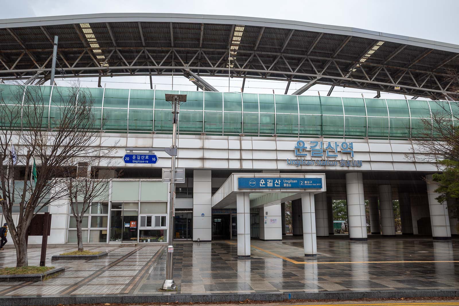
And finally, I was back at Ungilsan station, just as a very brief rain shower passed over. A medium sized hike today.