30 March 2026
Longer and in reverse
Soyosan from Soyosan station
First hike. I have done it before. However today I did a slightly longer loop and in the reverse direction to last time.
My last visit to this location was 26 November 2022, it was Autumn then and much more picturesque. Today it was dead and brown. However, as you know by now, time for the stats.
11.53km - longer than I expected
4 hours 31 minutes
857m vertical ascent - more than I expected
1,300 calories burned
20,900 steps
Also by popular request it was about 18c today, which is a temperature, this means nothing to most people who do not understand what centigrade or is it celsius means? And also lunch which was 3 muesli bars that were buy 2 get one free cost about $3 AUD, that's Australian dollars, which means about as much as paying for things with coconuts or dogecoin.
Now for the very brown pics.
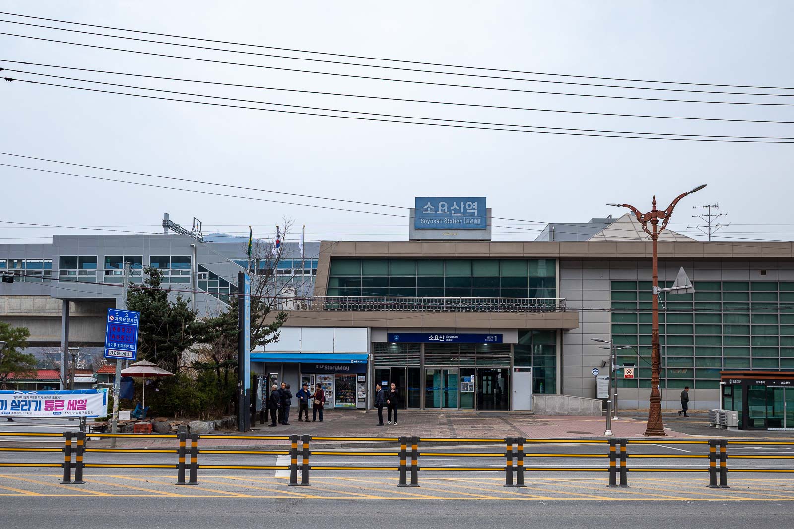
Soyosan station. Very near the end of the line. Almost 2 hours north of Seoul - and yet still part of the metro.
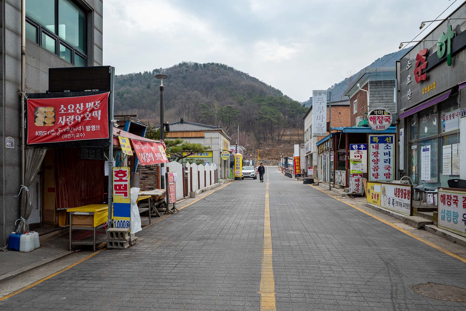
The streets between the station and the hiking area are lined with restaurants targeting old people, however there are a couple of convenience stores nearby too.
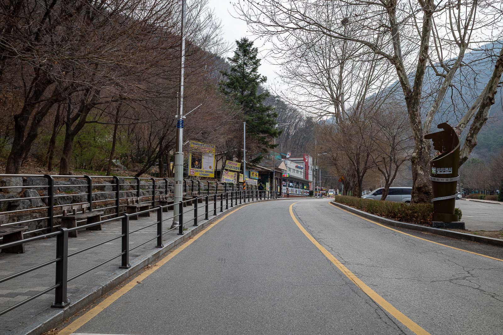
This road, which I will come back down later, heads up to a cave and waterfall area. I instead started on an unmarked trail off to the left of this spot. I missed it at first but followed an alltrails map for 'Soyosan extended loop'.
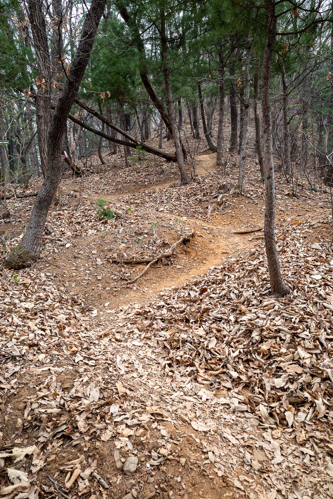
The very start was hard to spot, but it soon became a real trail. I think there were actually some stairs a bit up the road leading to this part of the trail at a more official starting spot.
The first rest spot, just a few hundred metres from the start. Everything is dead.
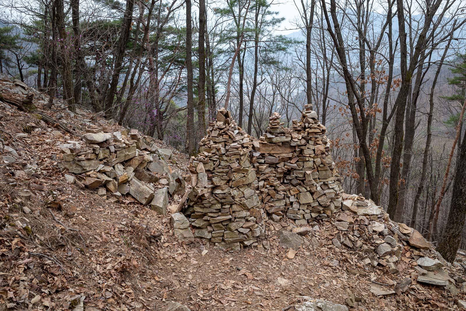
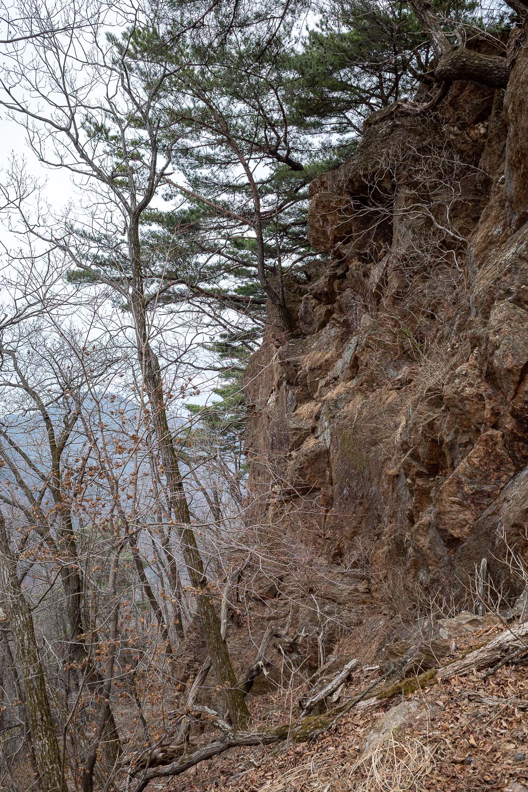
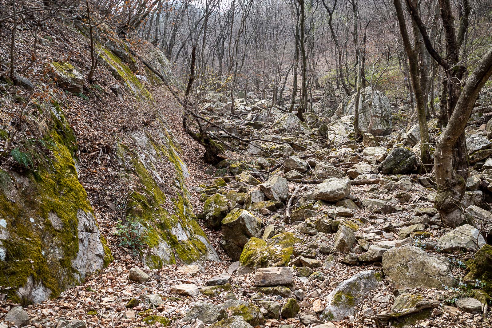
Lots of rock piles today, some bigger ones will be seen later.
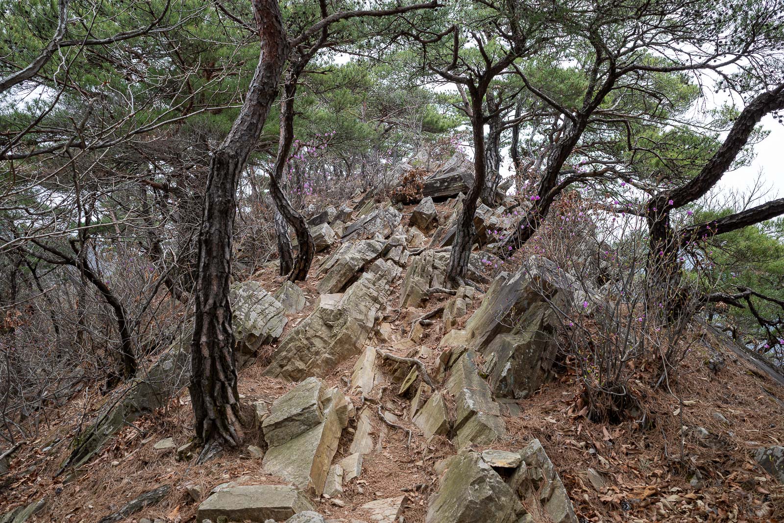
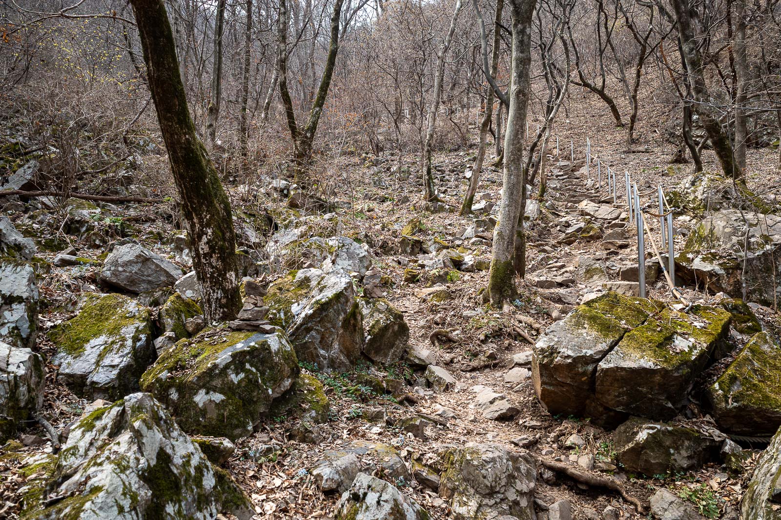
This sort of rocky trail is typical of hiking in Korea. Rocks sticking out at a 45 degree angle.
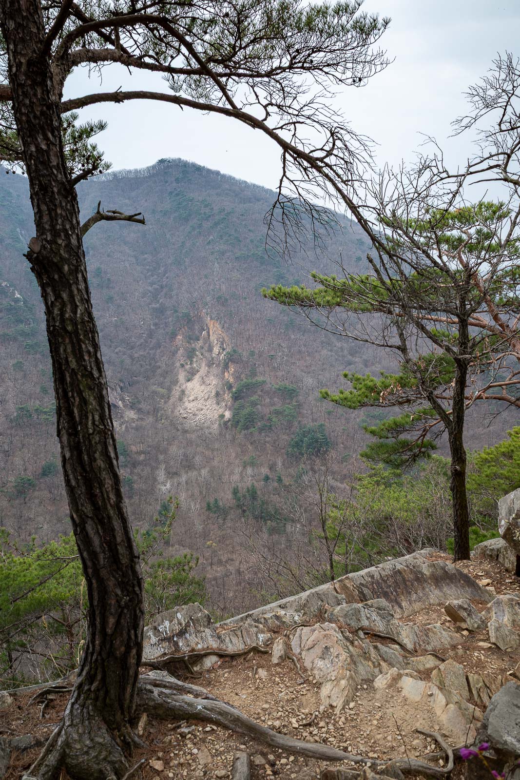
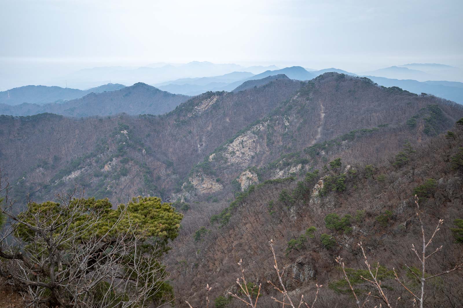
Today I will around to that ridge. Very grey today but no rain.
Here it is again, but vertical I did not mean to include this photo.
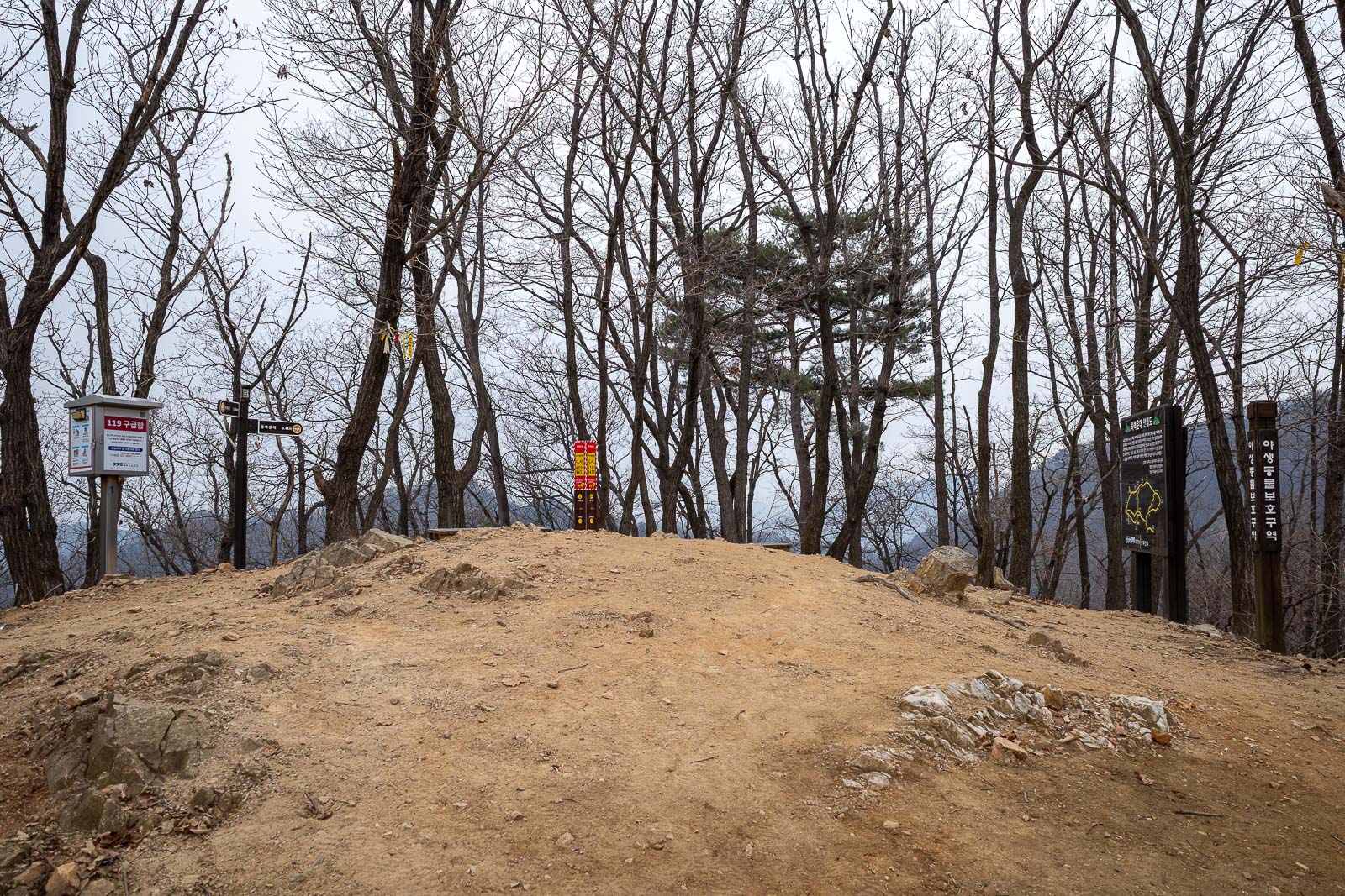
A summit of sorts. No view.
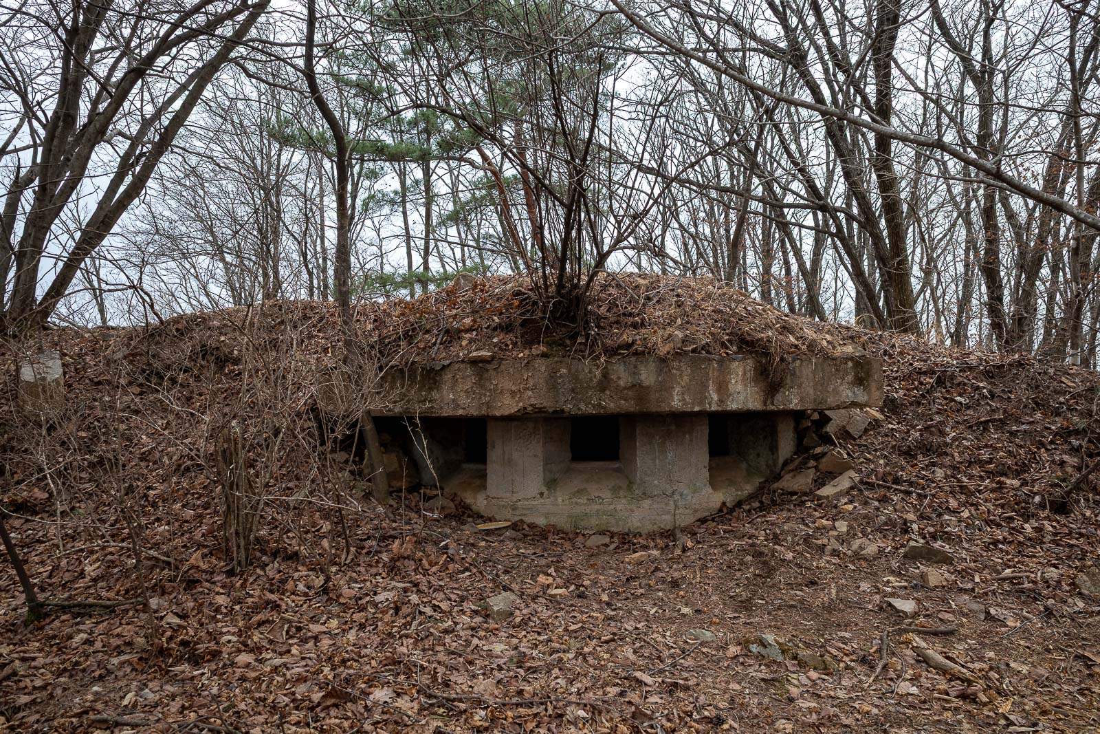
There were 3 spots to take cover and shoot Iranians today. The valley over the back of the mountain is a live firing range for the Korean army, so there was a constant barrage of gunshots keeping me company.
One of a few rocky outcrops, bigger than it appears in this photo.
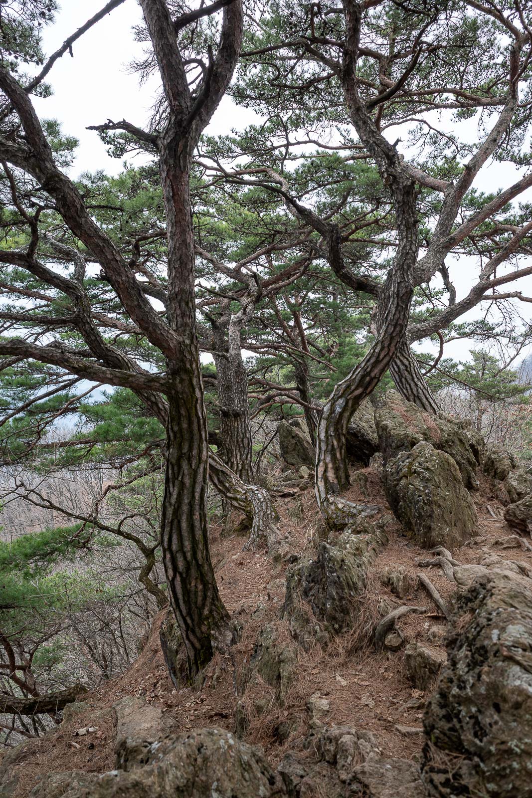
More rocks and trees.
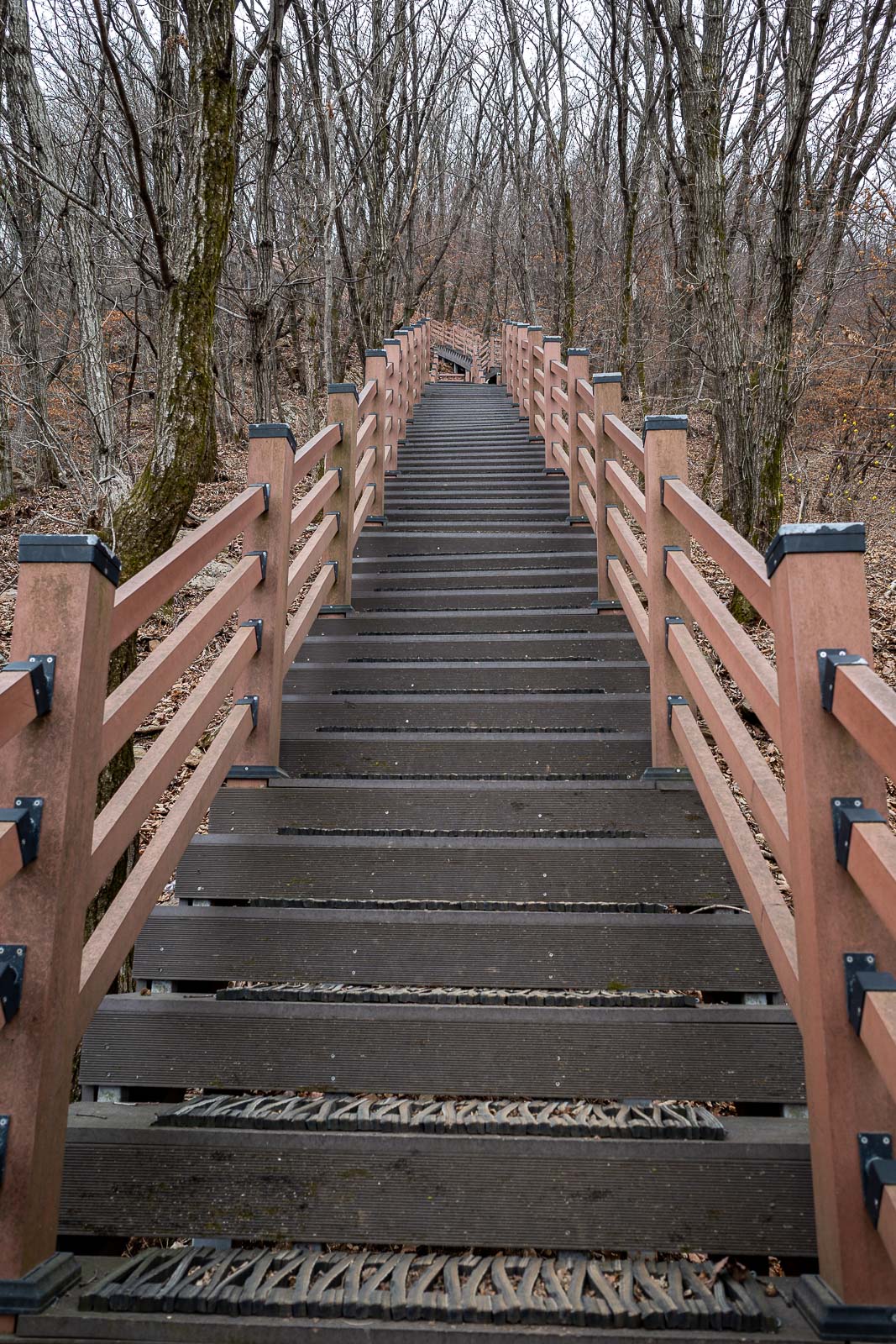
I have now joined the more popular part of the trail, which means there are now stairs on the steep bits. I am not really a fan.
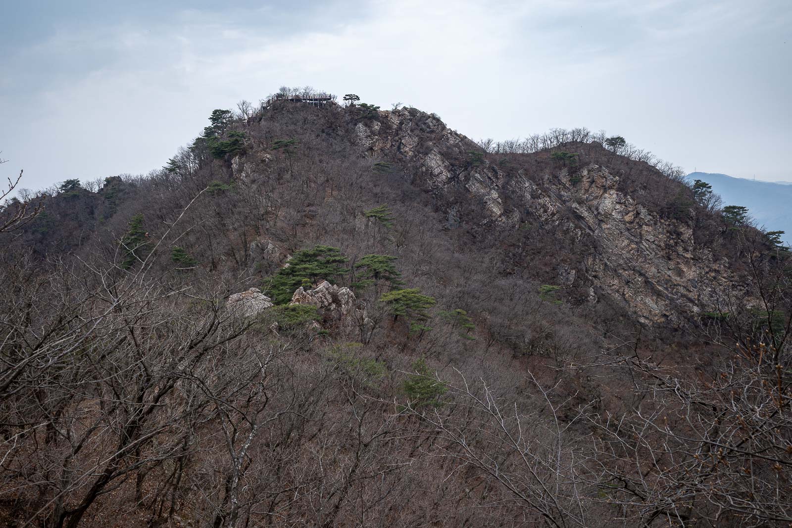
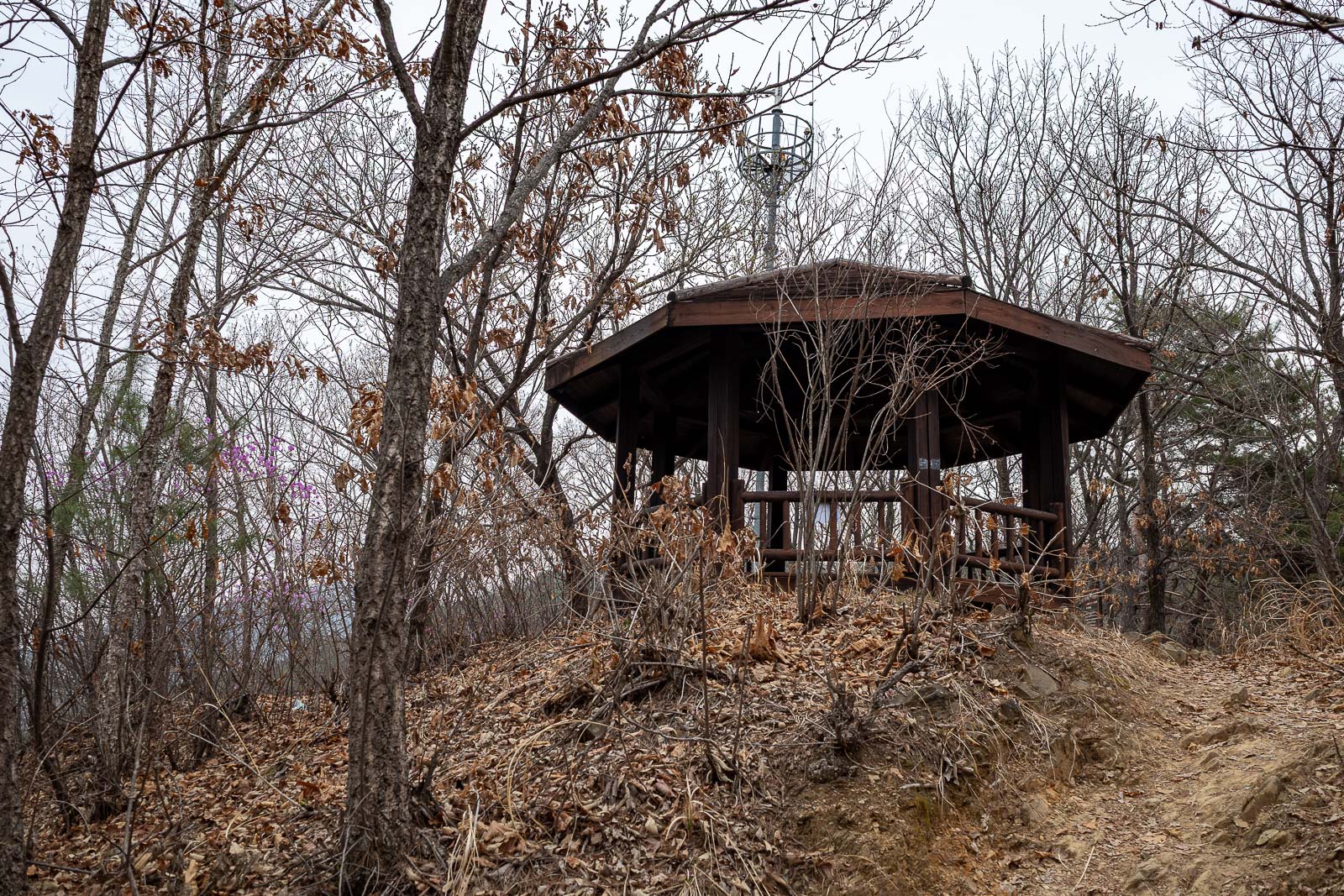
My next destination. There is a deck up there which you shall soon see.
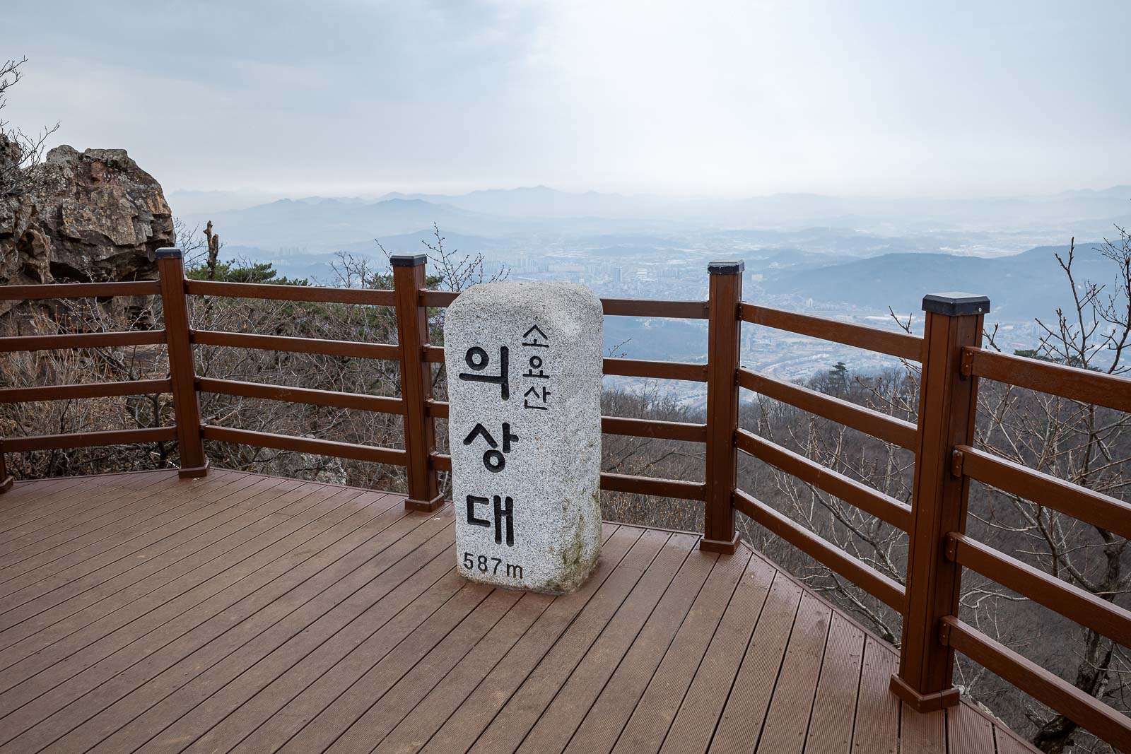
The highest point of the day. Not very high really.
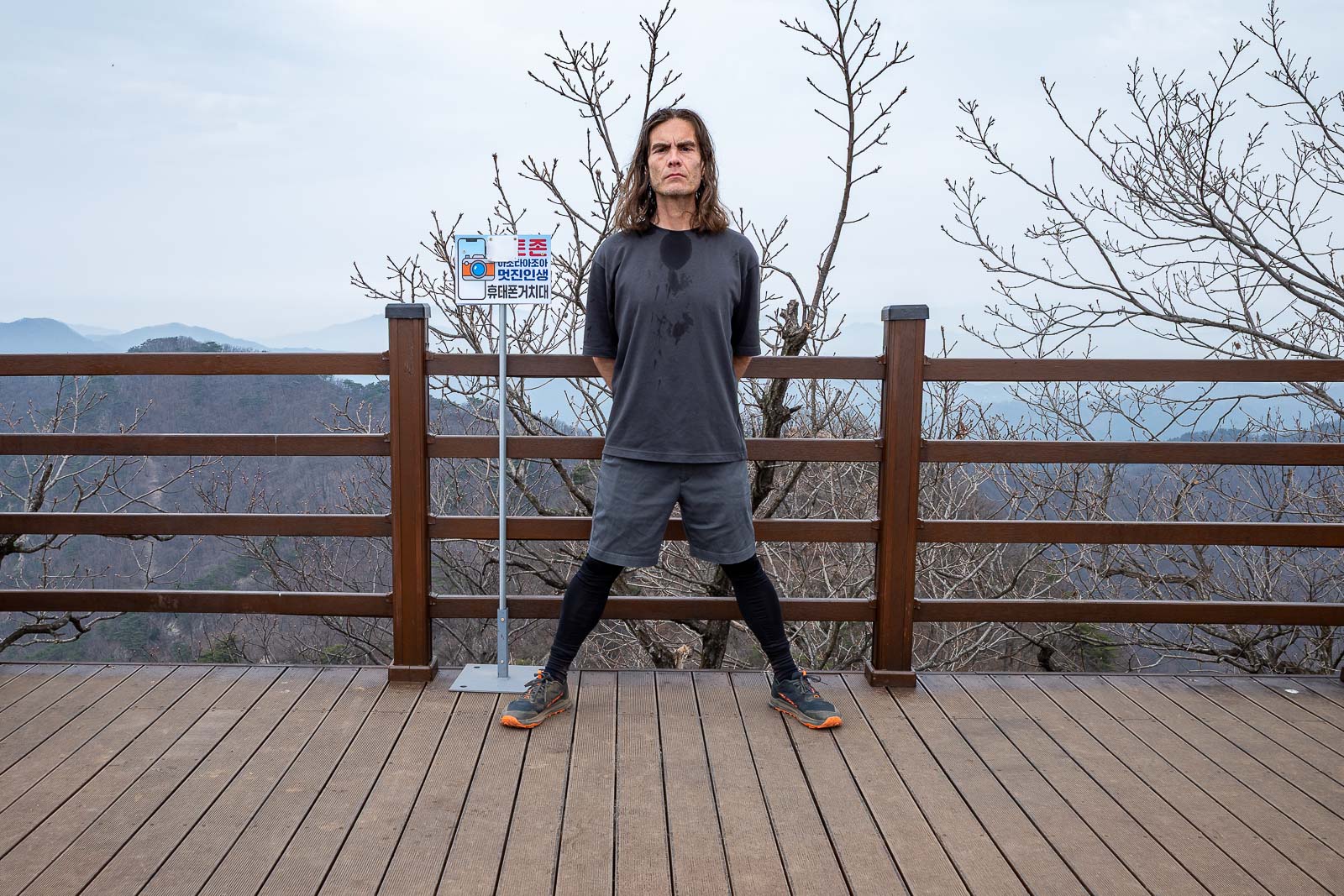
First stance. I have new shoes.
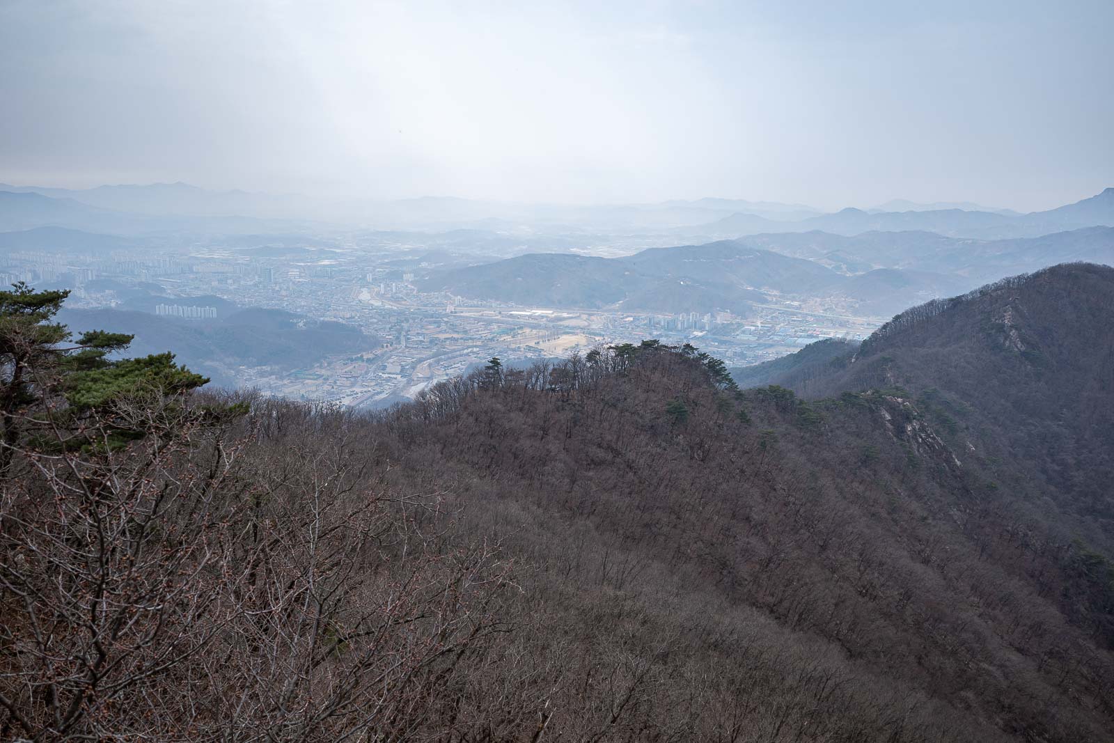
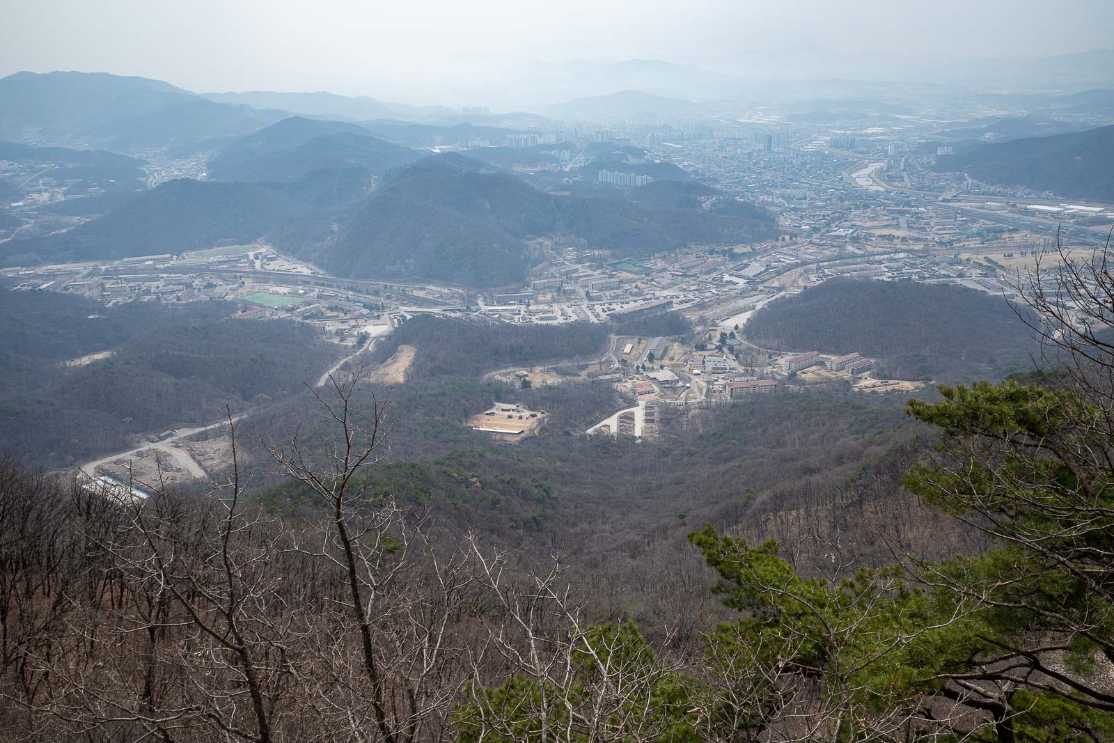
Back that way is Seoul, but it is a long way away. I am not sure how much of that is cloud and how much is pollution. It got slightly sunnier later so some of it is cloud.
Plenty of mountains to choose from in Seoul.
You cannot go down that way.
More view.
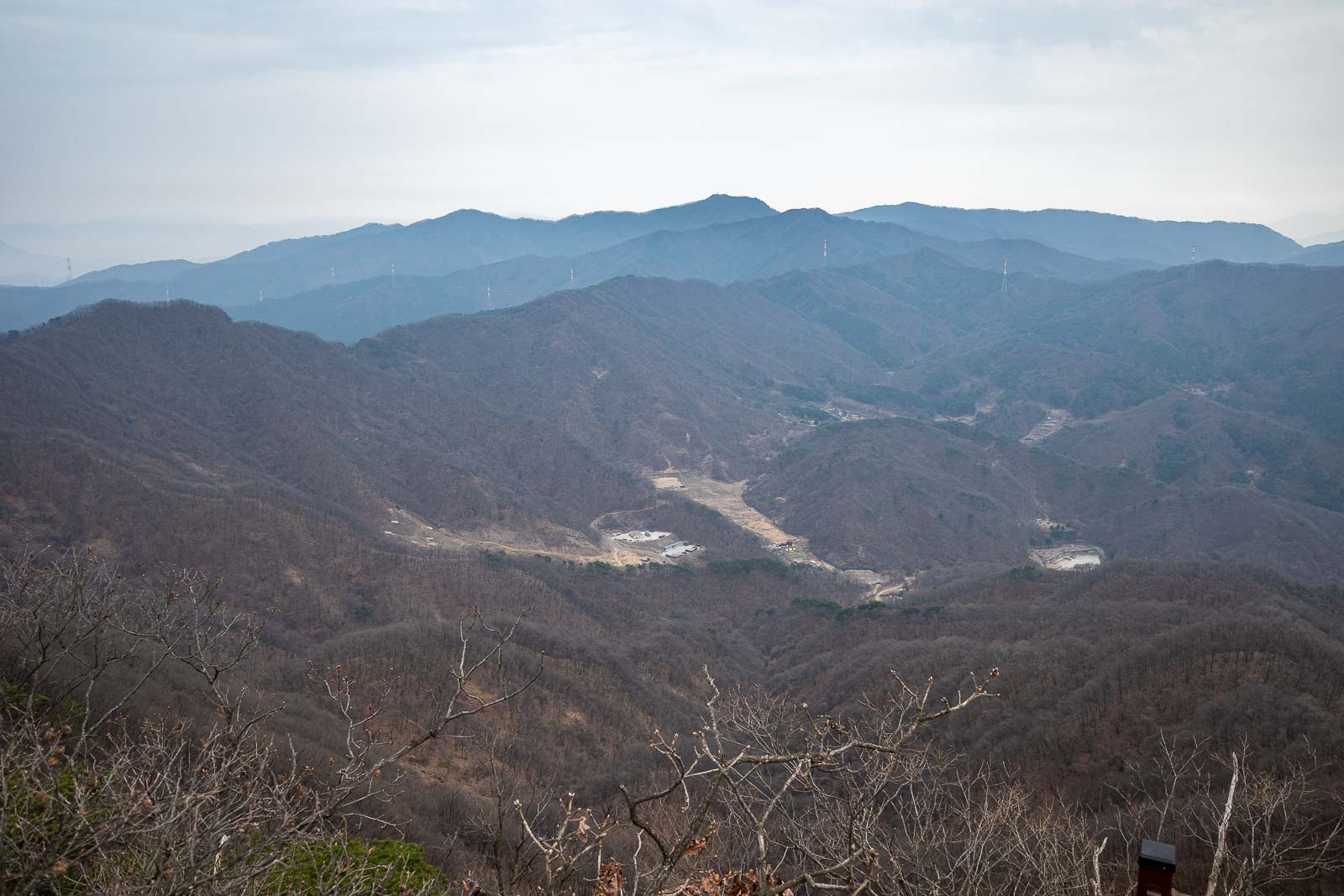
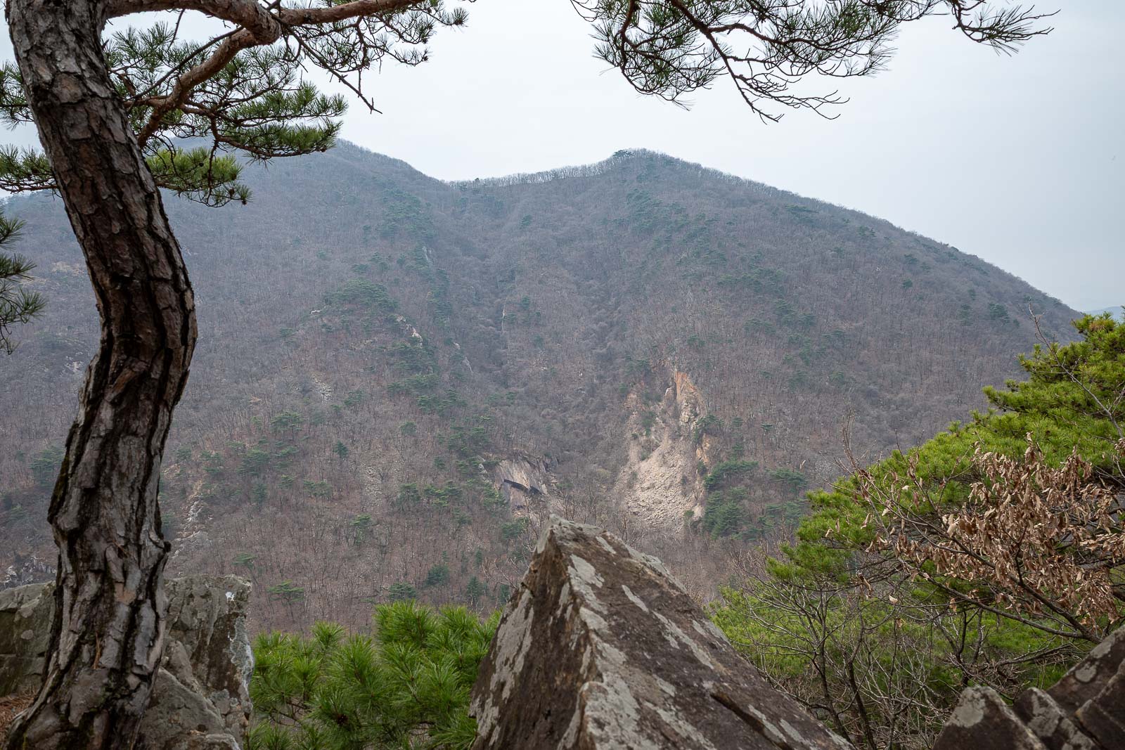
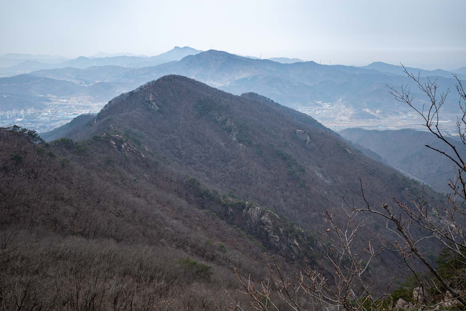
Down there over the far side is the army live firing range. I will be seeing some of those mountains in the distance up close in a few days time.
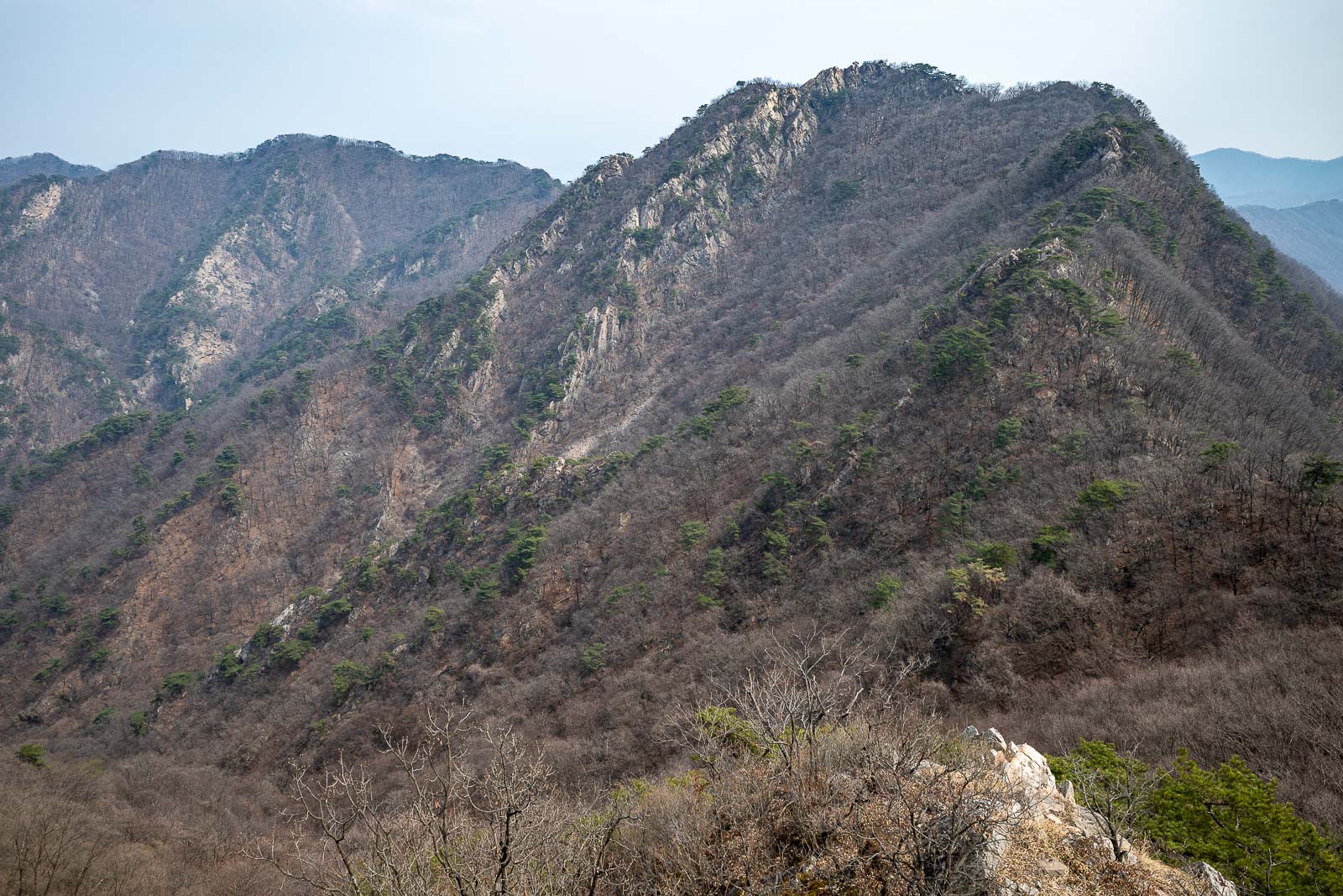
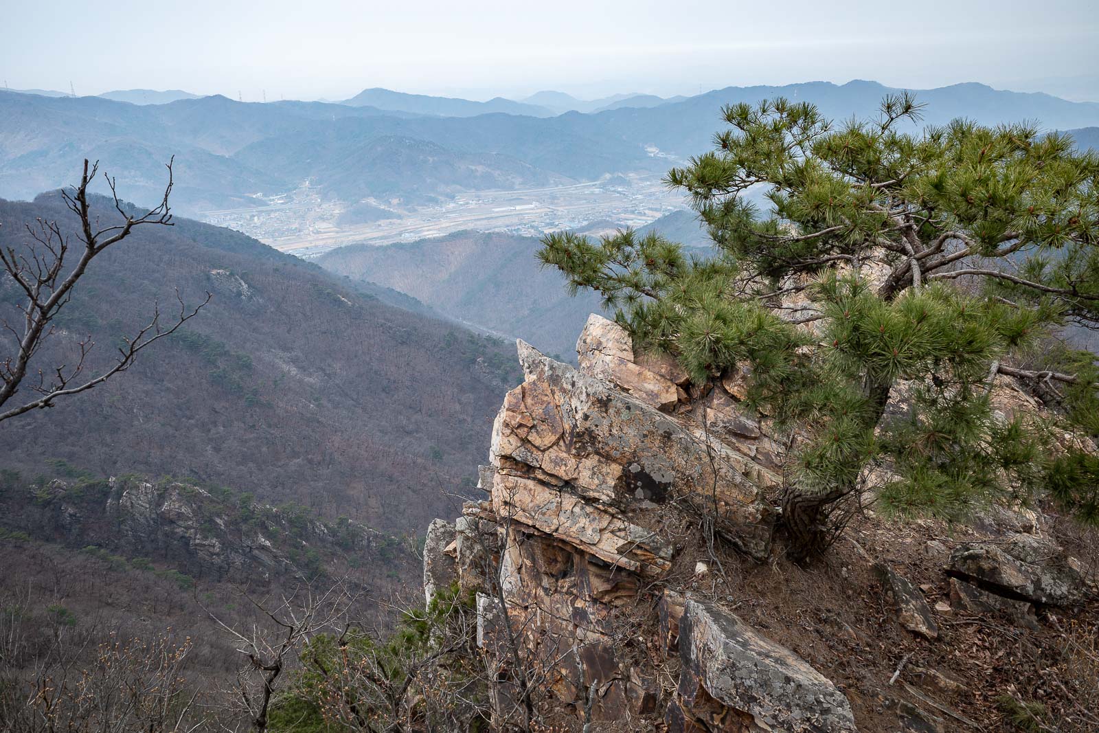
Some time later, and this is looking back along the ridges I had come along. Clearly a bit sunnier now. Most of the grey is pollution.
Down there is a major army base, lots of tanks.
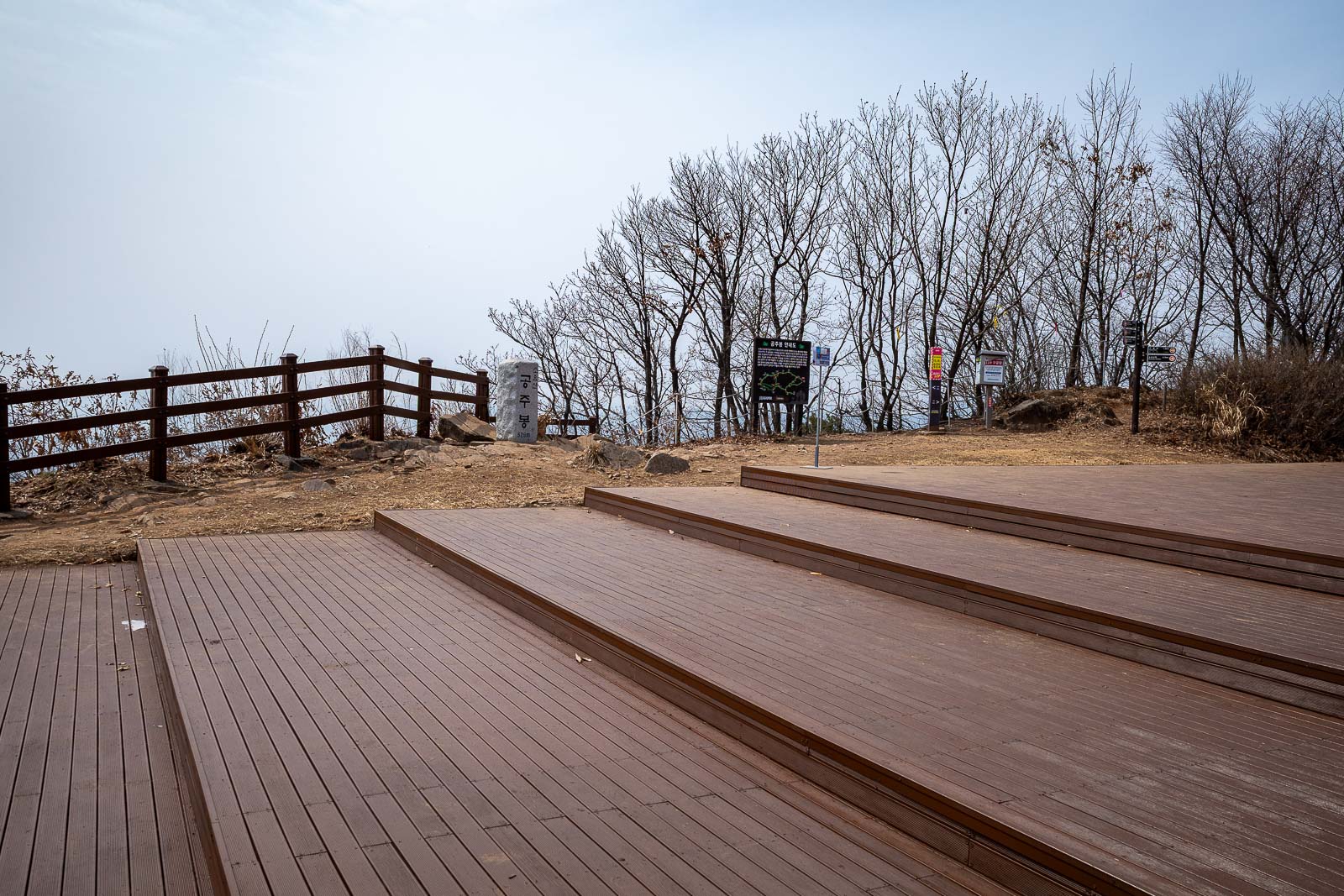
Final deck of the day. It is large. Today I saw only 2 other groups of people.
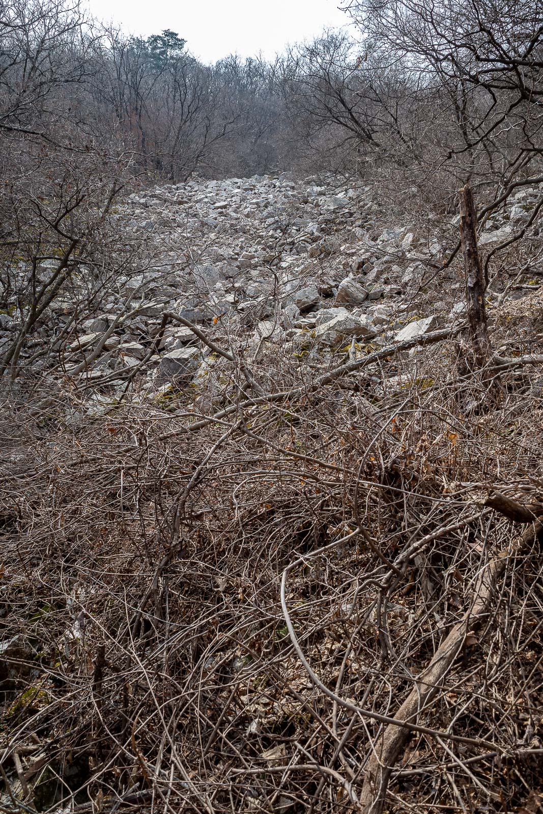
This is actually looking straight up at a rock flow of some kind. I think I saw it across the valley in one of my earlier photos.
Nearing the bottom now, a brief mossy area. I remembered this part from last time, where a small black goat followed me up the hill.
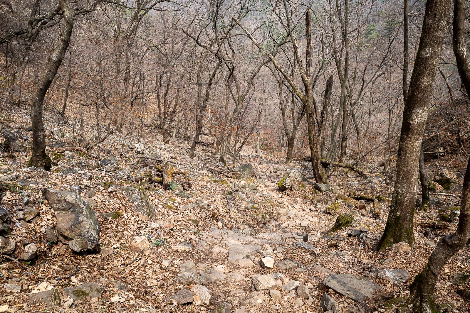
A lot of rocks and dead looking trees. This will be a feature of all hikes on this trip.

Larger rock piles mentioned earlier. I wonder if they ever collapse and kill people?
Last photo before I exit back onto the road.
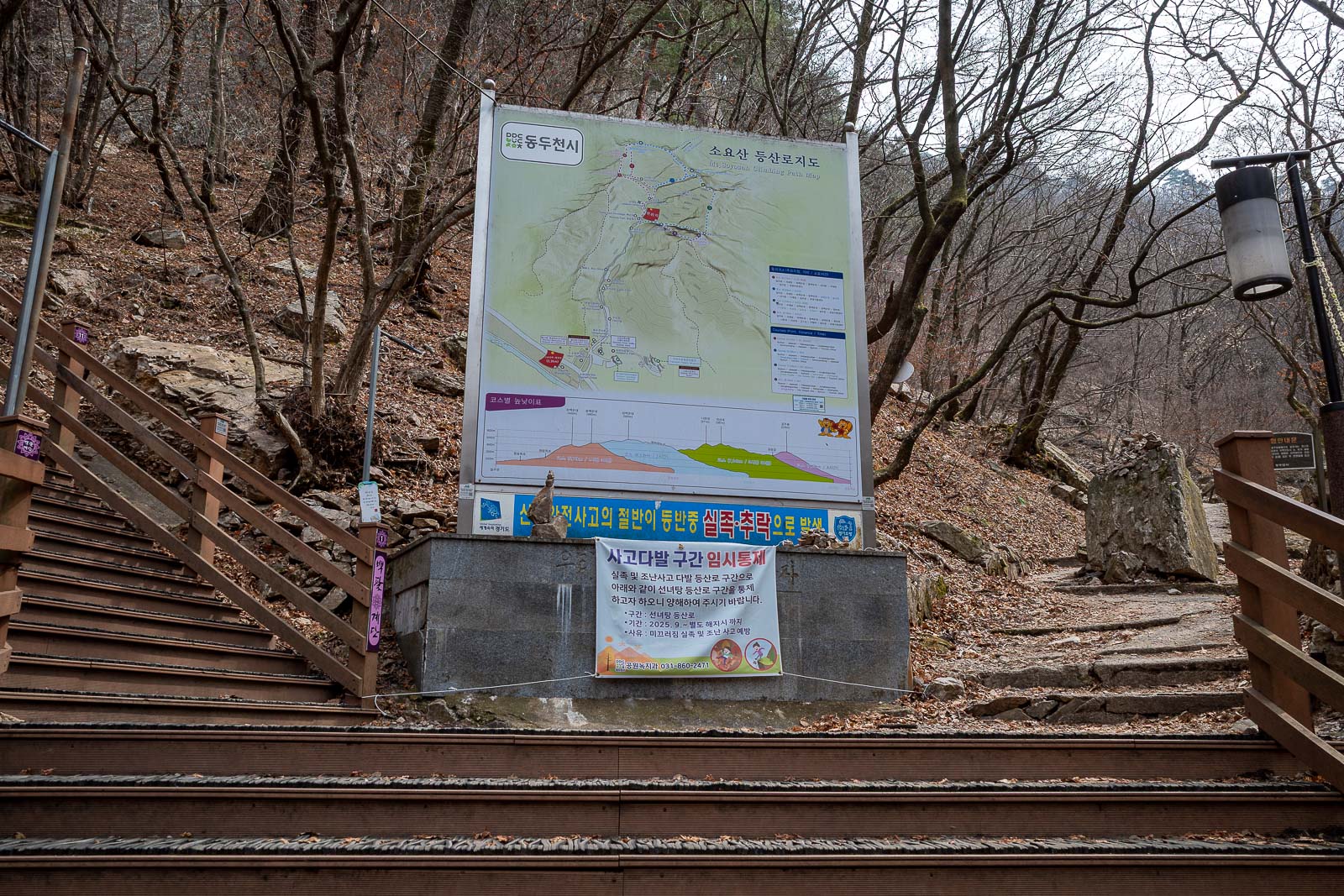
This is the main start point, but I started at a non main start point, so I did not get to see the start point sign until now.
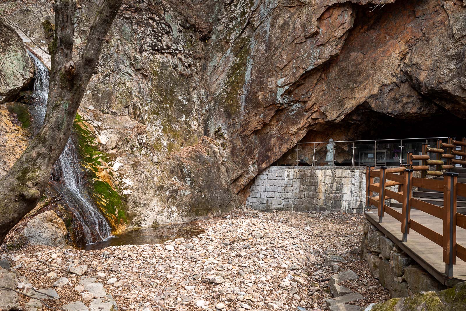
Apparently this cave and waterfall is what brings so many people here. It is rather underwhelming.
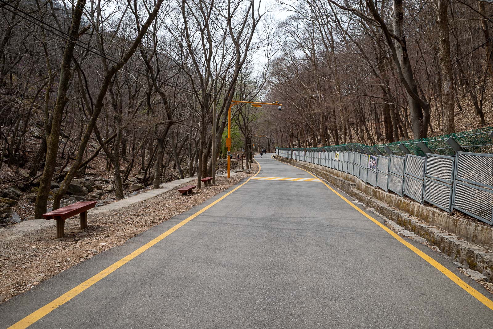
It is then time to walk back along a long car free road to the train.
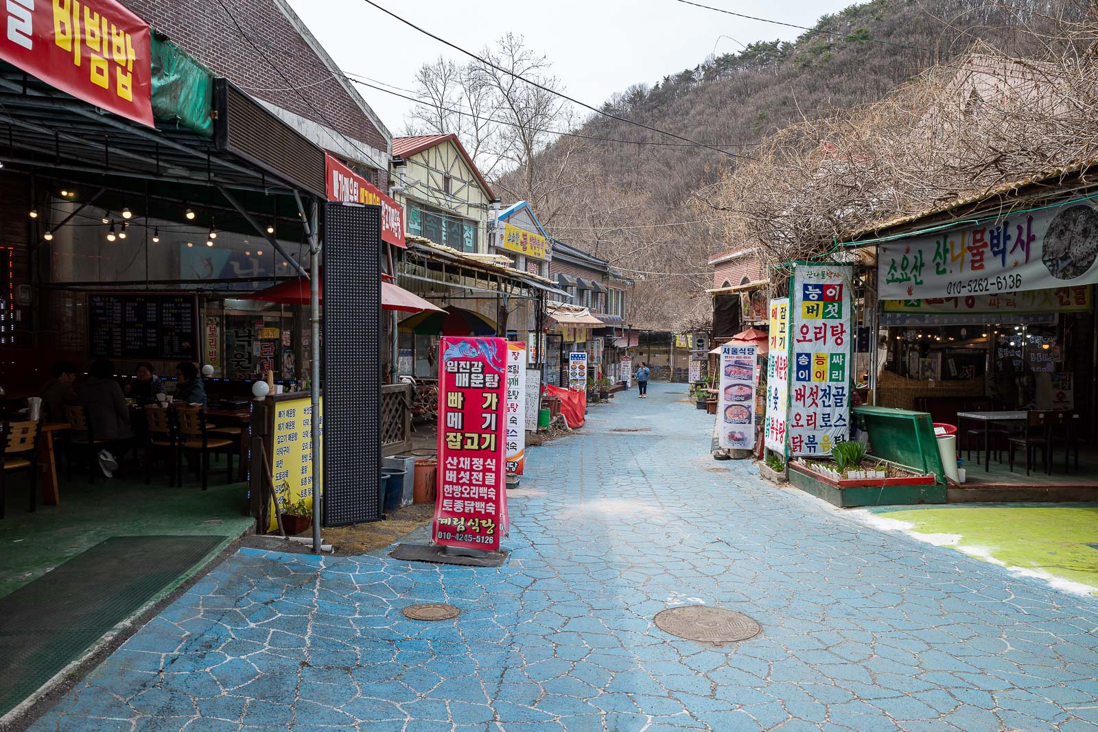
There are many restaurant streets if you are hungry for something no one under the age of 80 would ever eat. Some were even open.
And so that was the end of hike #1, a shorter lower hike, that was very brown.