20 April 2026
Korean flag appreciation hike
Gwanaksan from Sadang to Gwacheon stations
If you are a fan of the Korean flag, today is the day for you.
This is my third time doing this hike, it is the first mountain I ever climbed in Korea, back in 2011, it is also probably the most popular hike in all of Korea. If I were to recommend one hike for people visiting Seoul, it would be this one.
It is apparently now so popular that cool Korean christian university students are using it as a tinder / grindr alternative every Saturday - just like that Bondi running club in Sydney. So I guess if people actually read this, they would probably want to go on Saturday.
Anyway, it was grey and cool today, but only rained very lightly just as I got back to Gwacheon station. I took too many photos, even after culling, so I better get to the stats -
21,000 steps - I did a couple of small detours to view spots
11.19km - short today
4 hours and 32 minutes
807m vertical ascent - some ropes involved
1,198 calories burned
Note that there are many ways to do this hike, including trails that are completely stair filled, I chose a rocky trail with ropes deliberately.
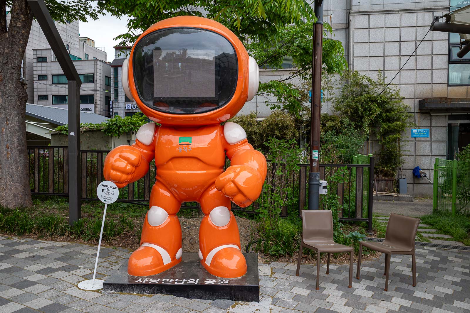
The hike starts basically still in Seoul at Sadang, where you can find everything you could possibly need, for example, the station has 2 Starbucks on opposite corners.
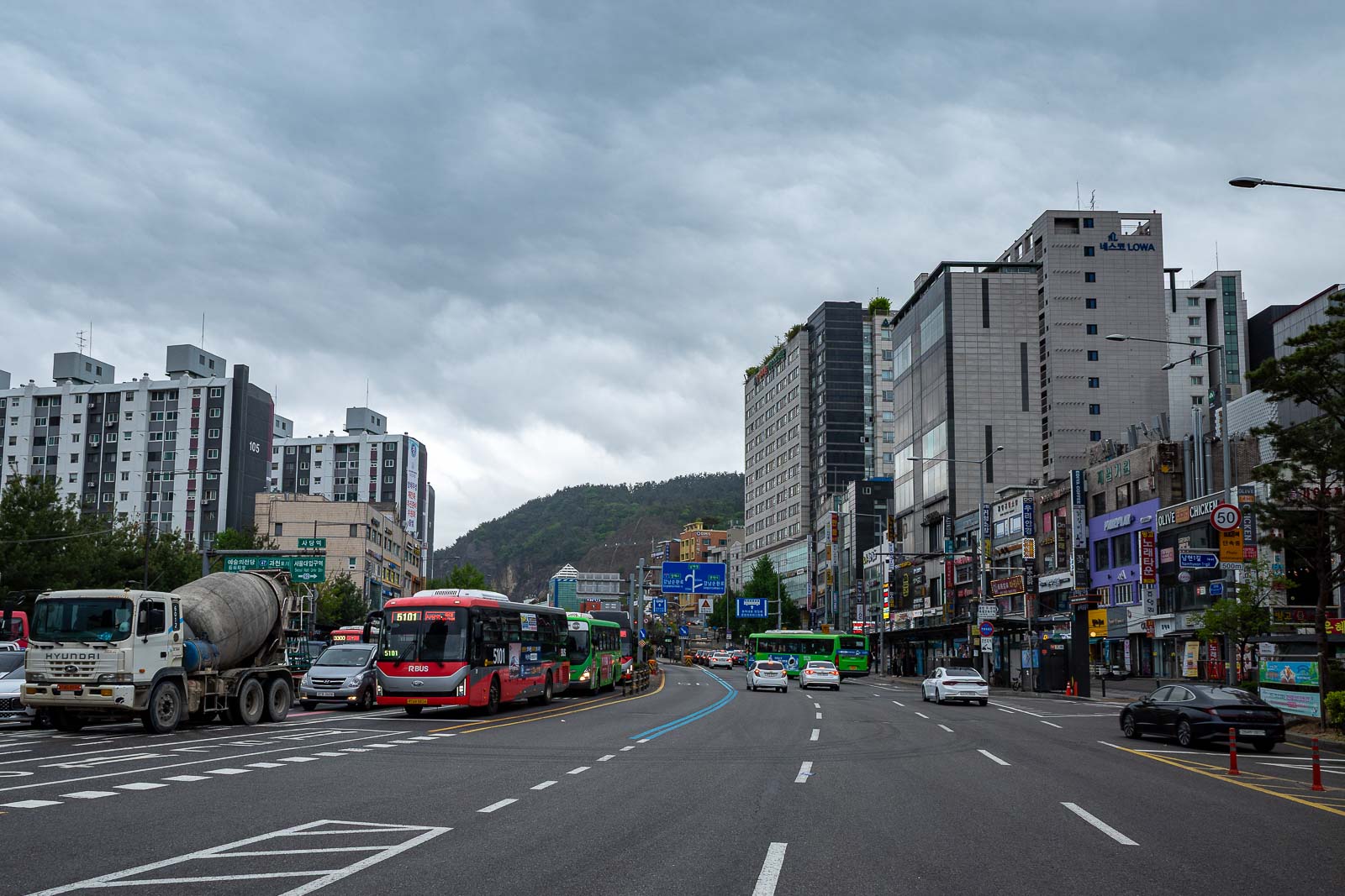
It is only a few hundred metres from the station to the edge of the city. Nice grey skies today.
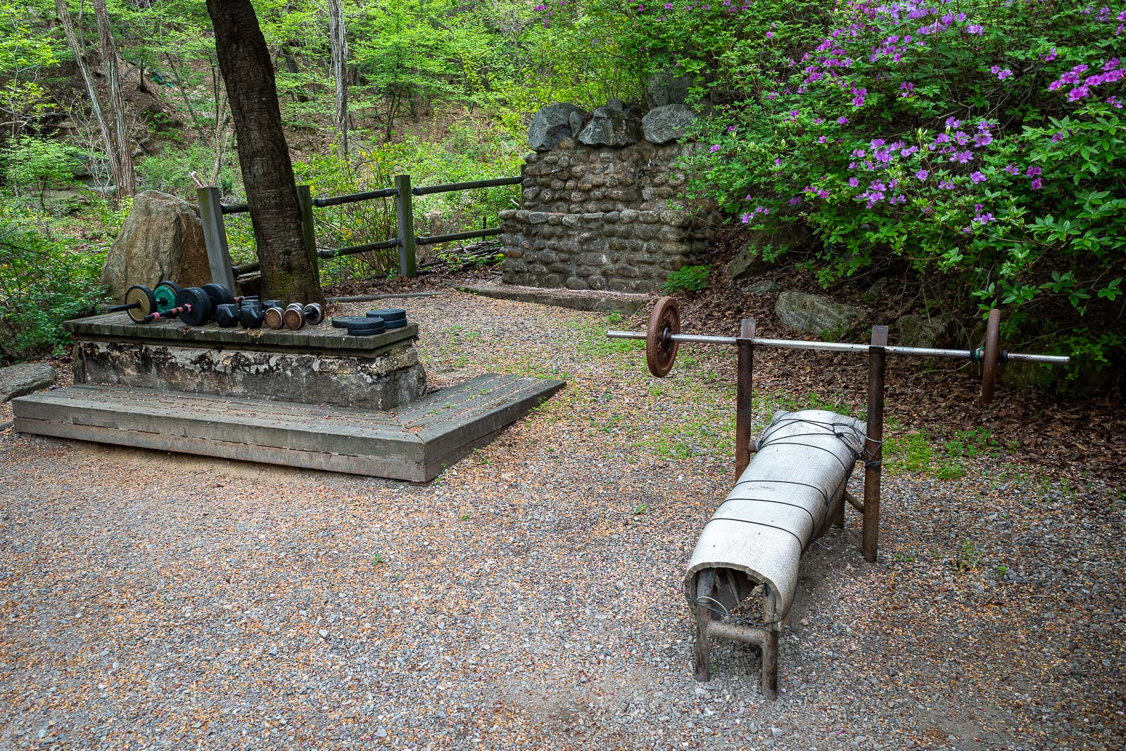
I decided to stop and go beast mode and check my gains.
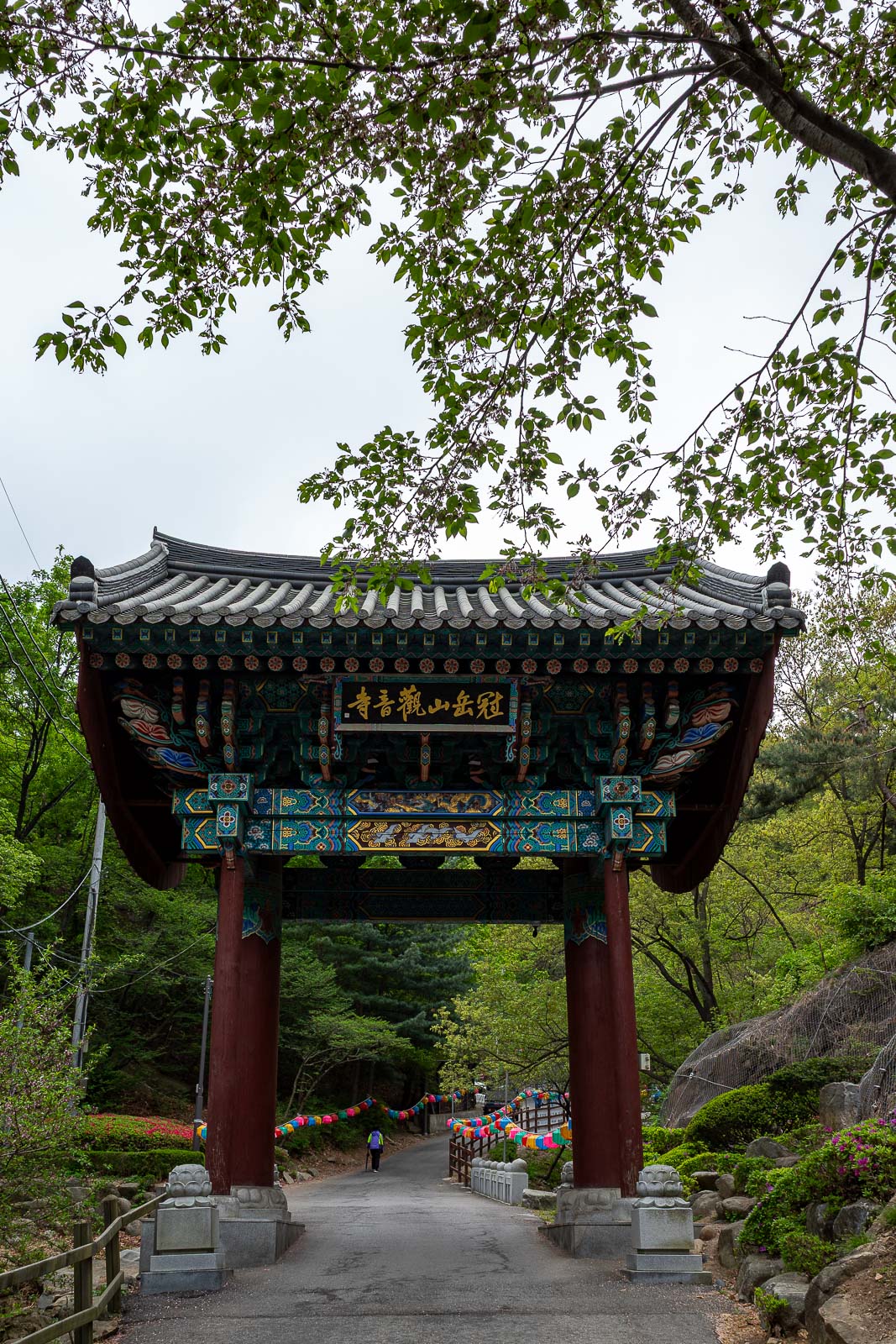
My path goes up to Gwaneumsa temple, where the distorted prayers were ringing out across the dark skies.
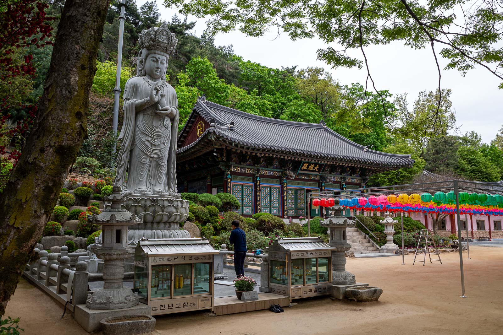
Nice area, nice photo, nice statue.
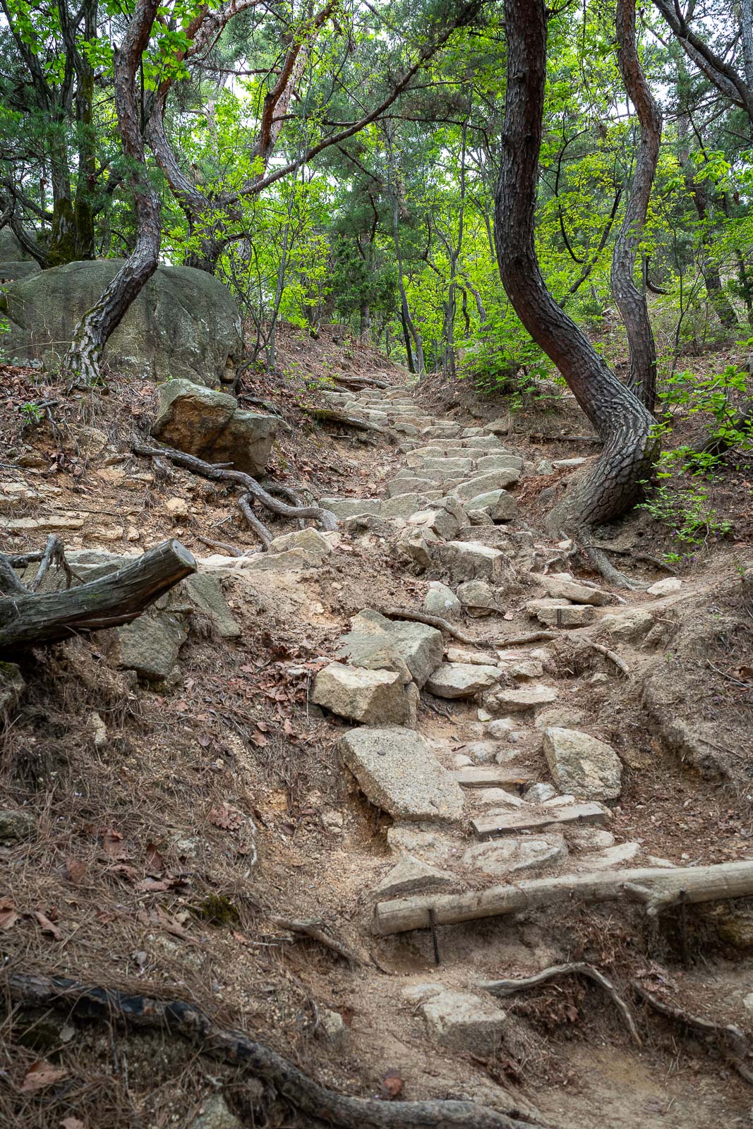
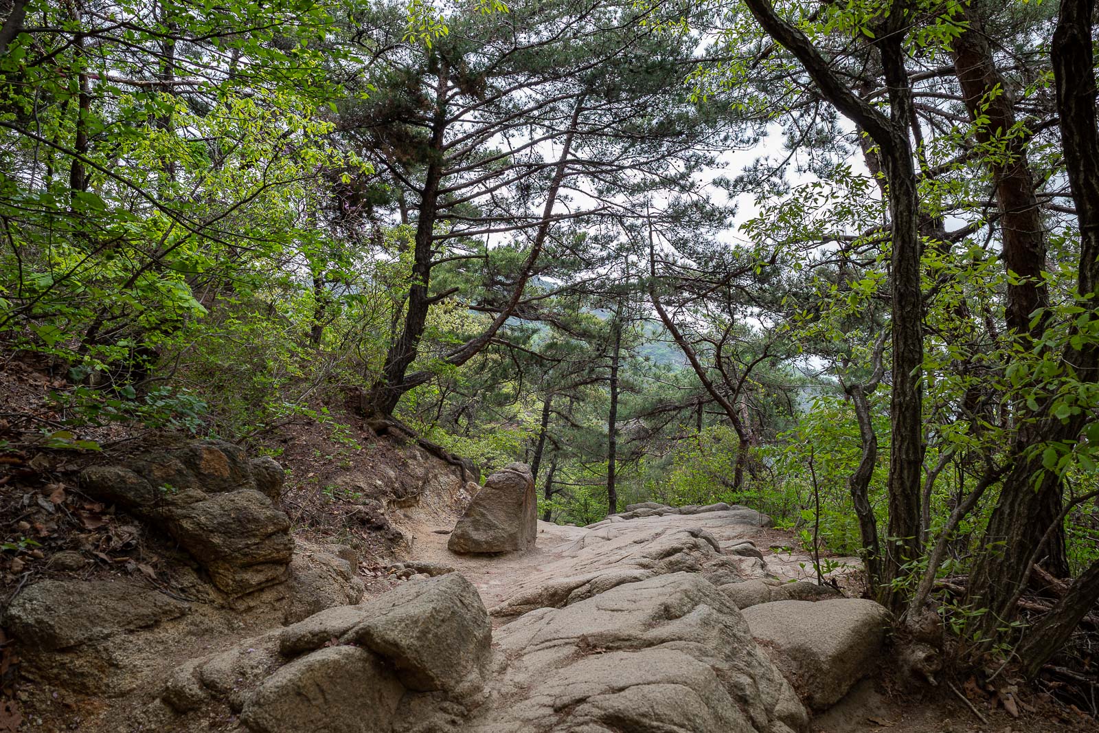
Time to hit the trail, the first part is probably the hardest, there is a nearby staircase trail instead if you prefer.
But then you would miss out on the huge rocks.
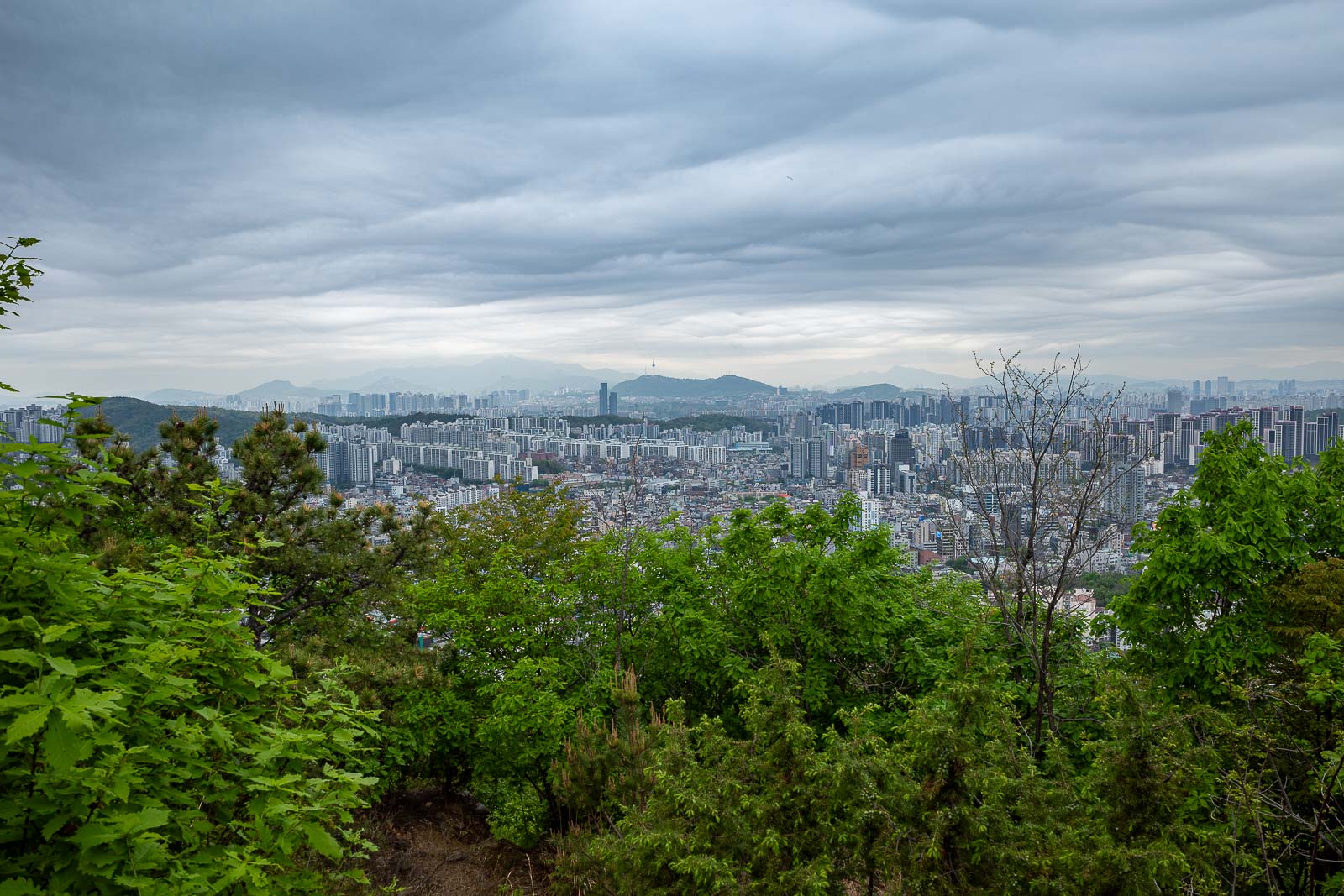
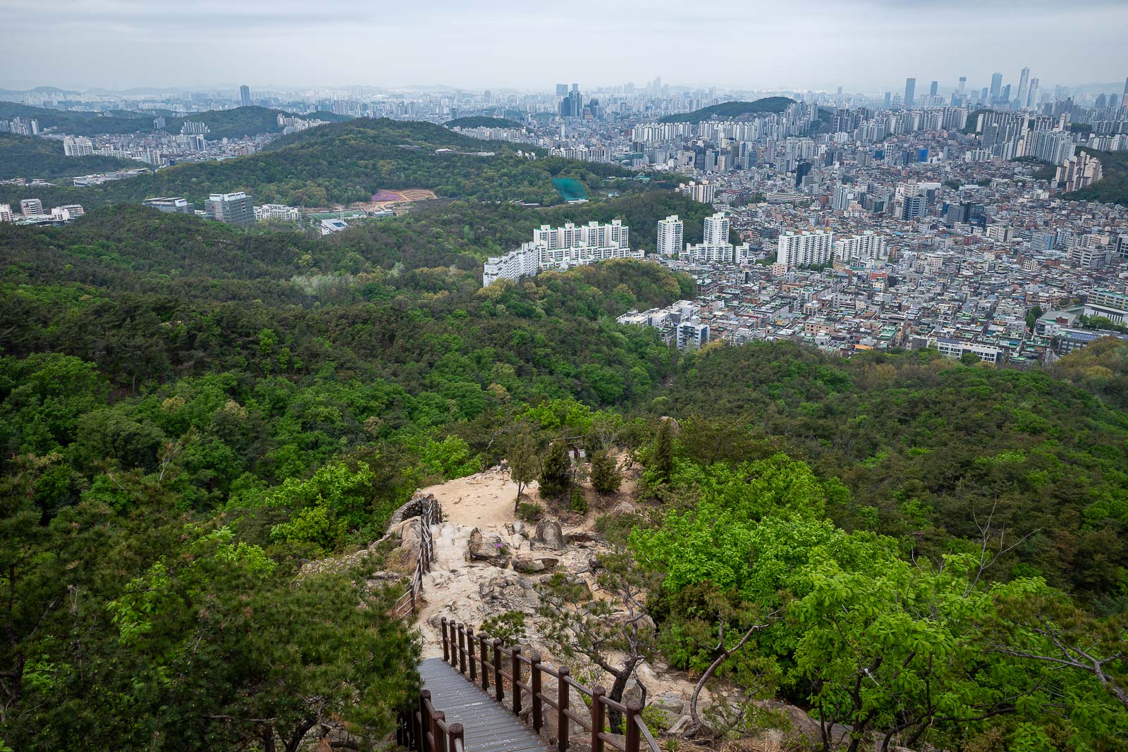
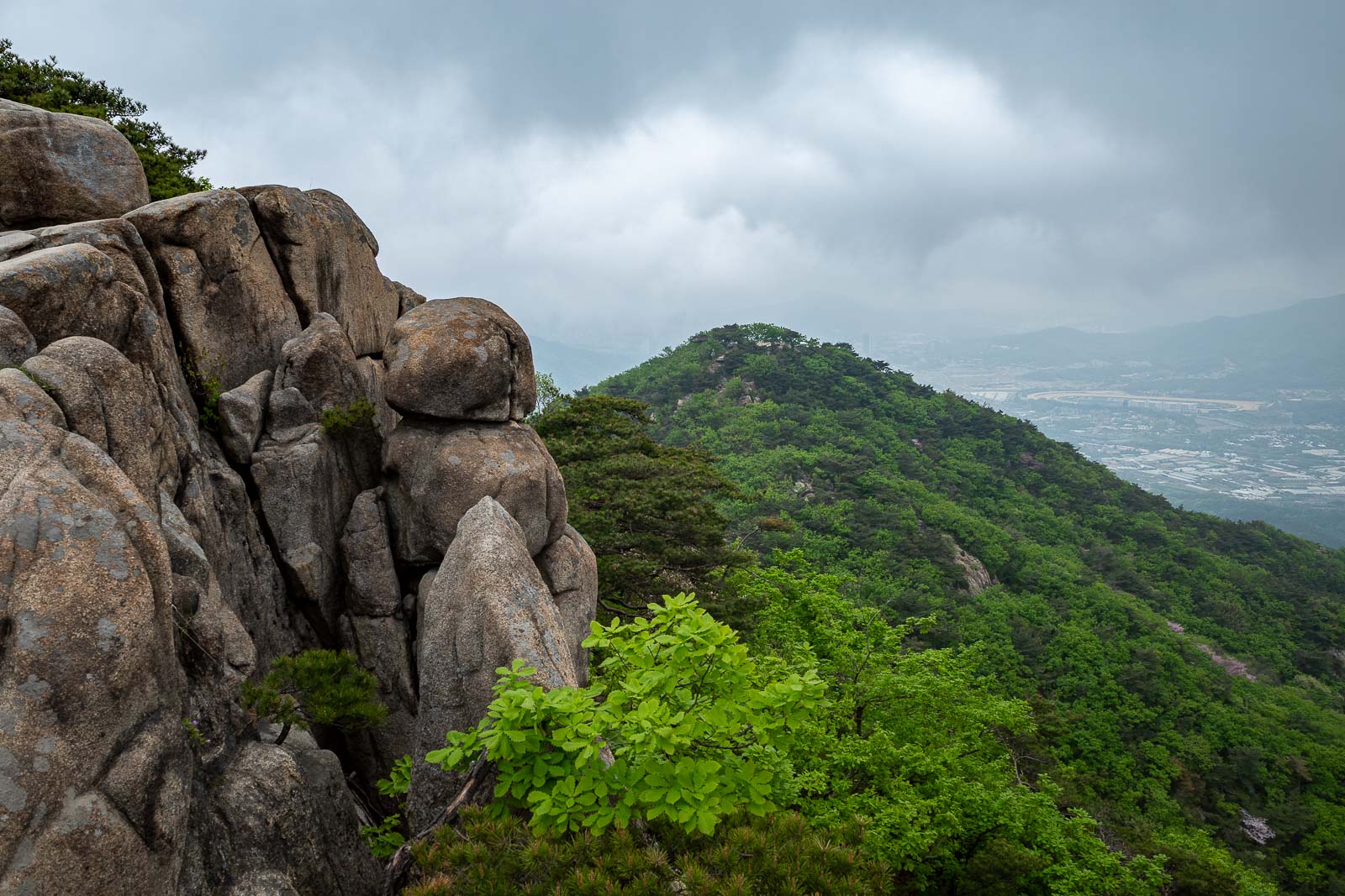
Lots of view spots today, and they start almost immediately.

More early view.
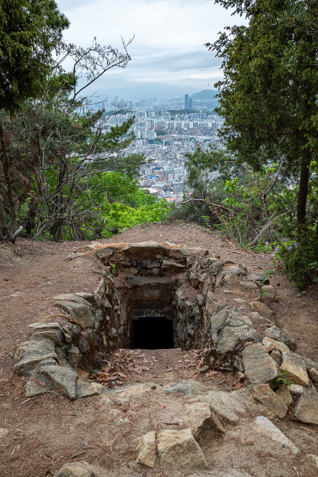
There are a lot of old military positions on this trail, and some of them appear to not be closed off. I did not go in, there are snakes in Korea, they all live in there.
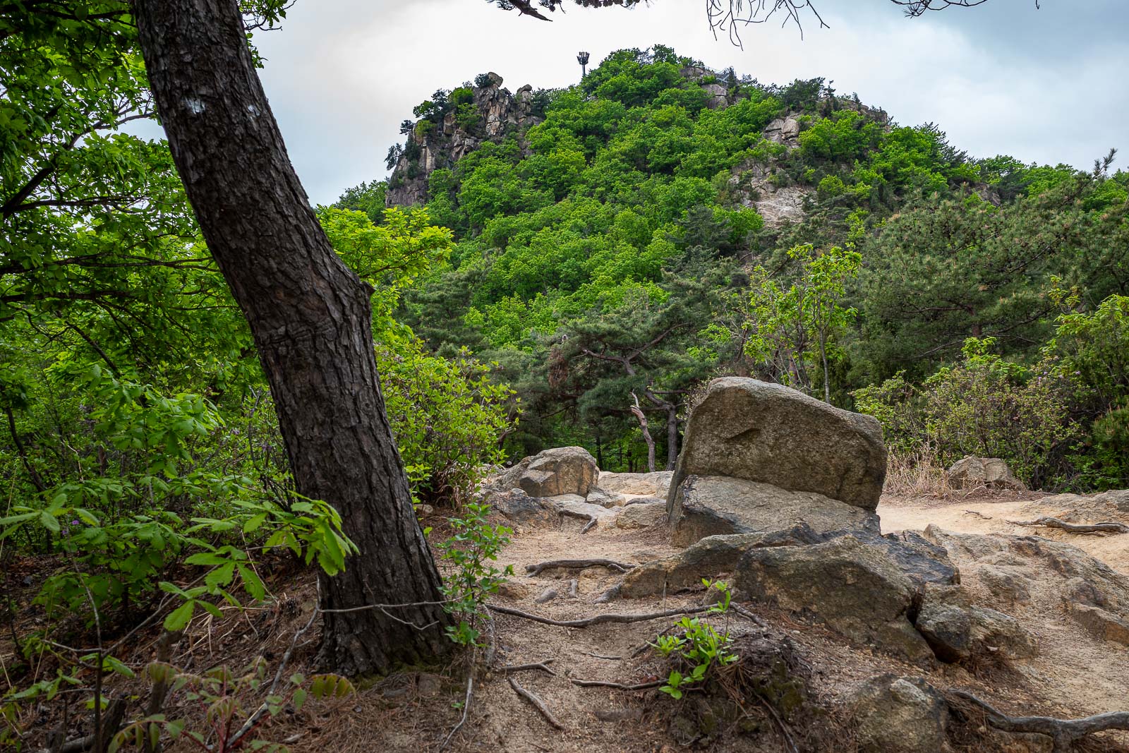
First of many minor peaks is up there.
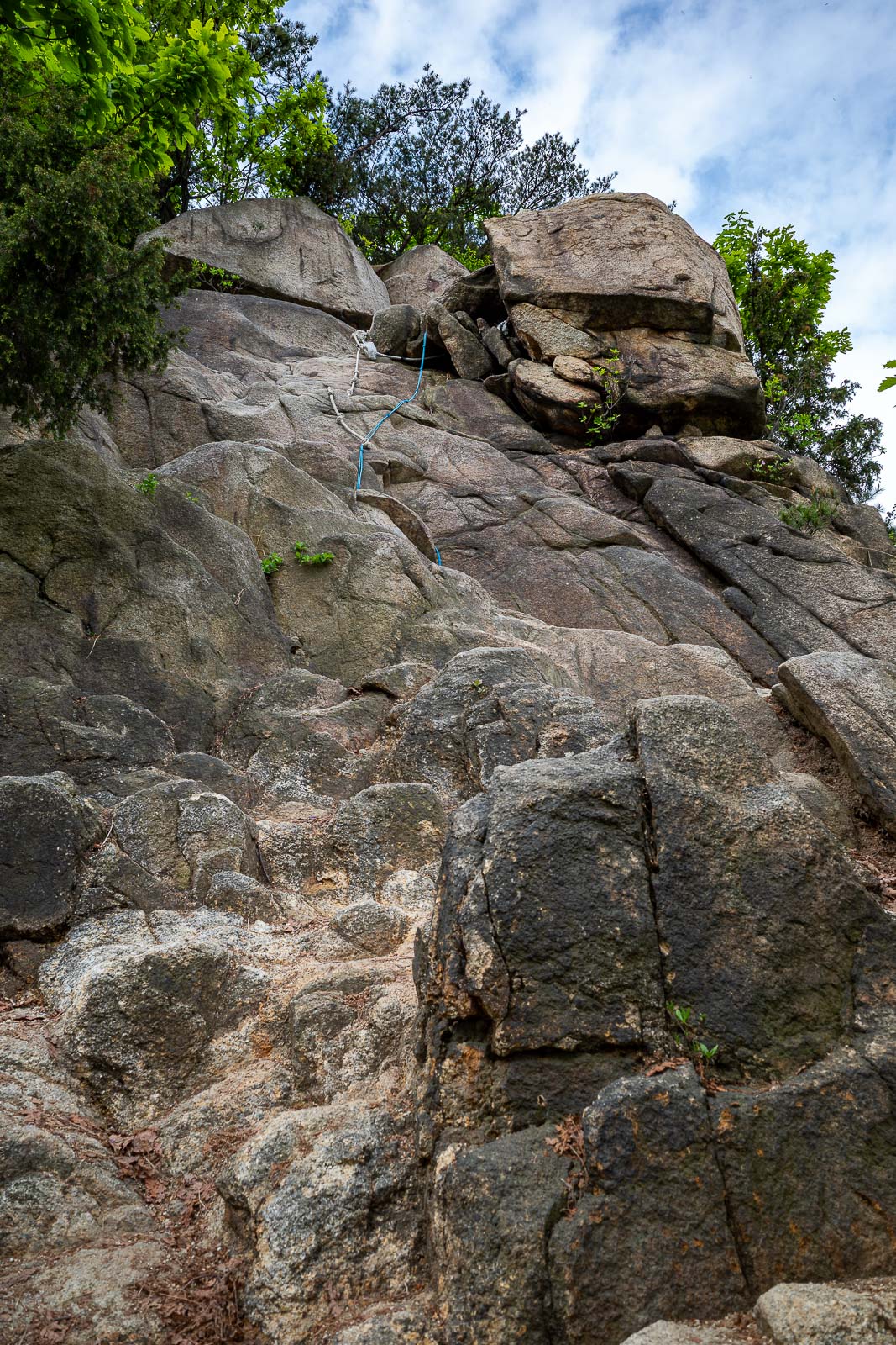
Time to hang off some ropes!
Only via the ropes can you get to this first Korean flag spot.
Next view, and here you can see some stairs. There will be a lot of stairs from this point on.
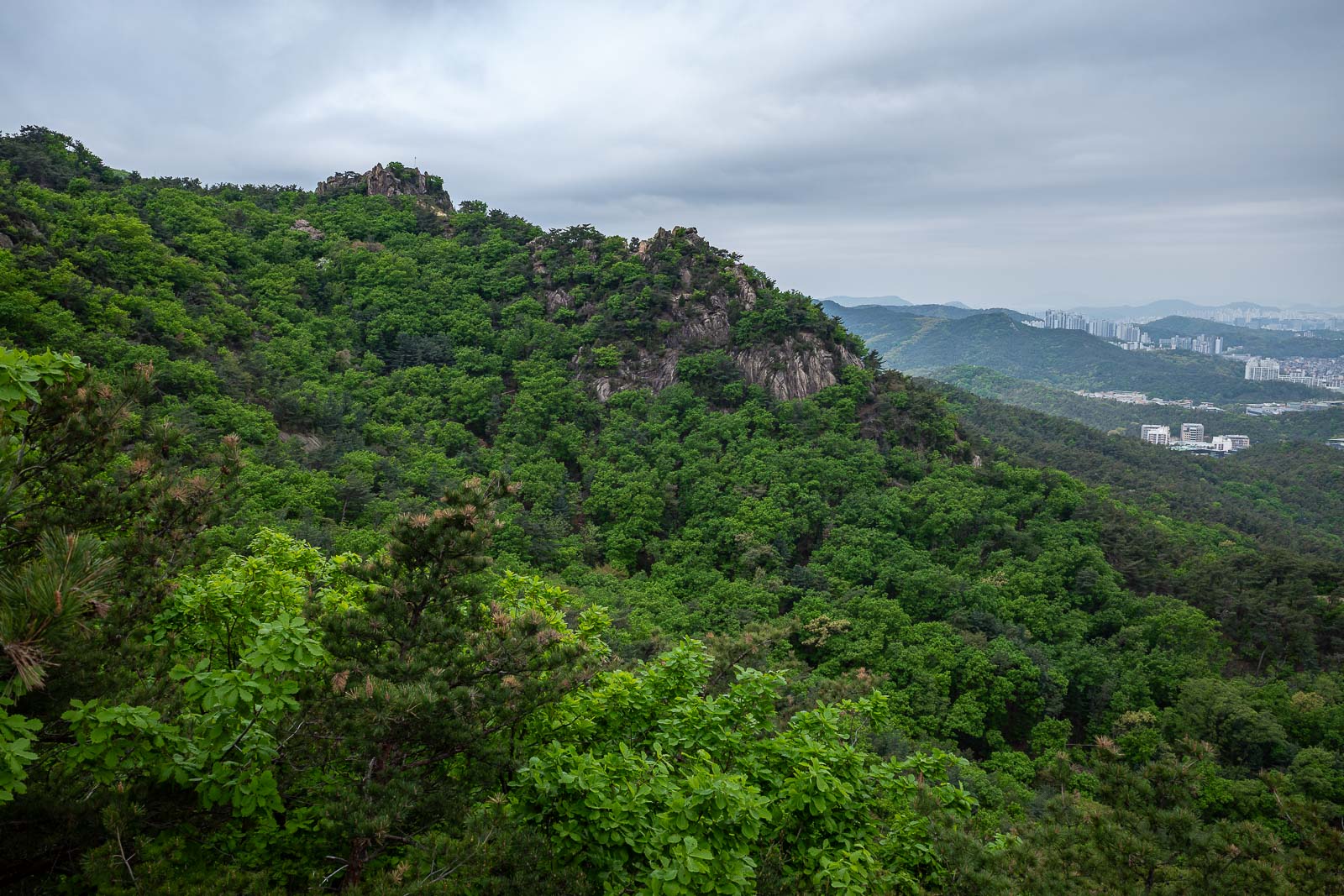
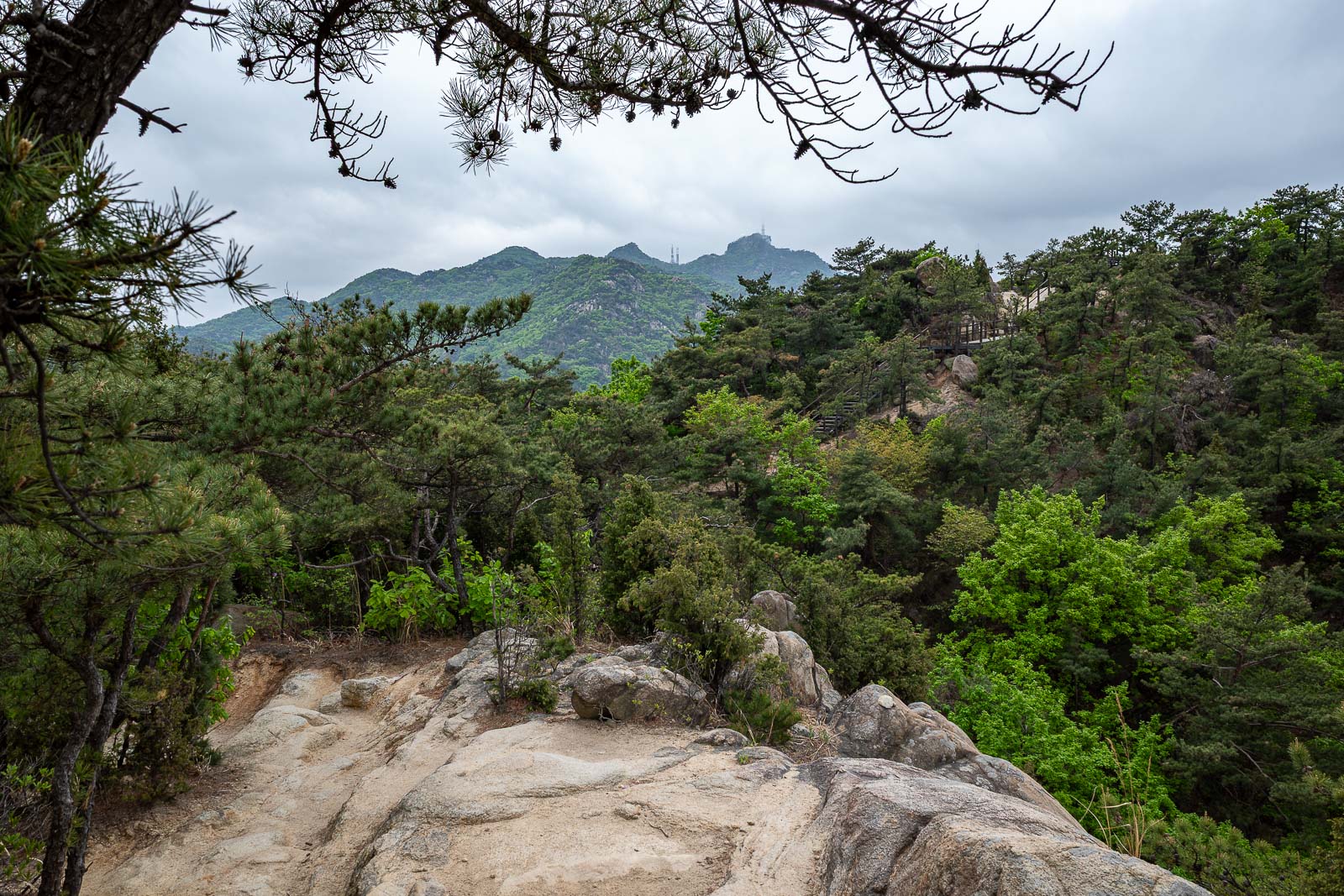
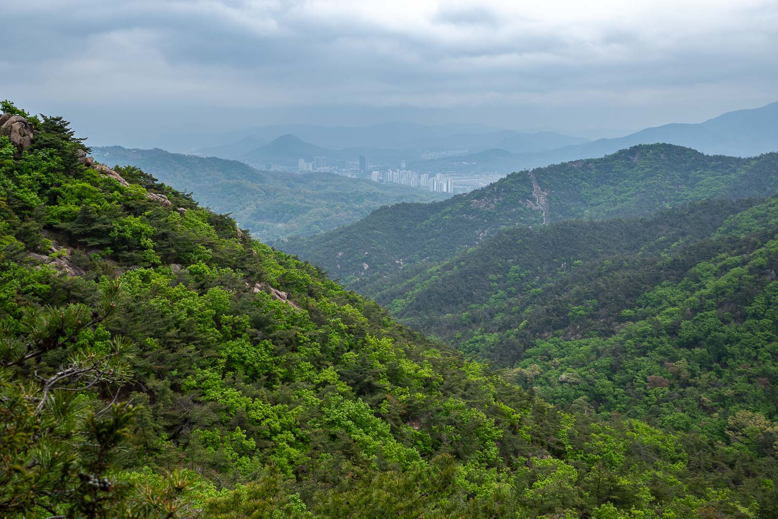
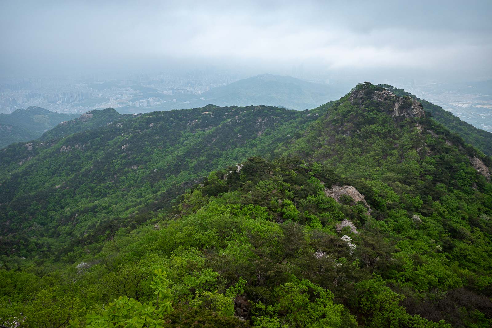
Nearly every ridge has a trail.

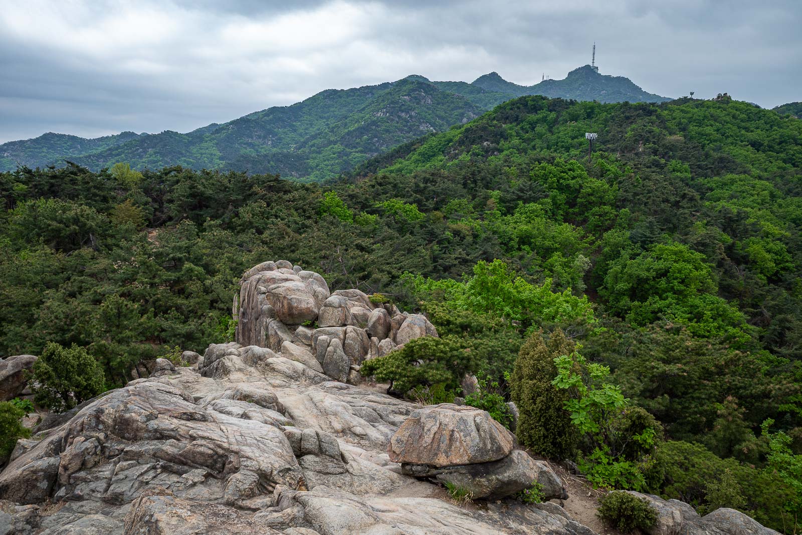
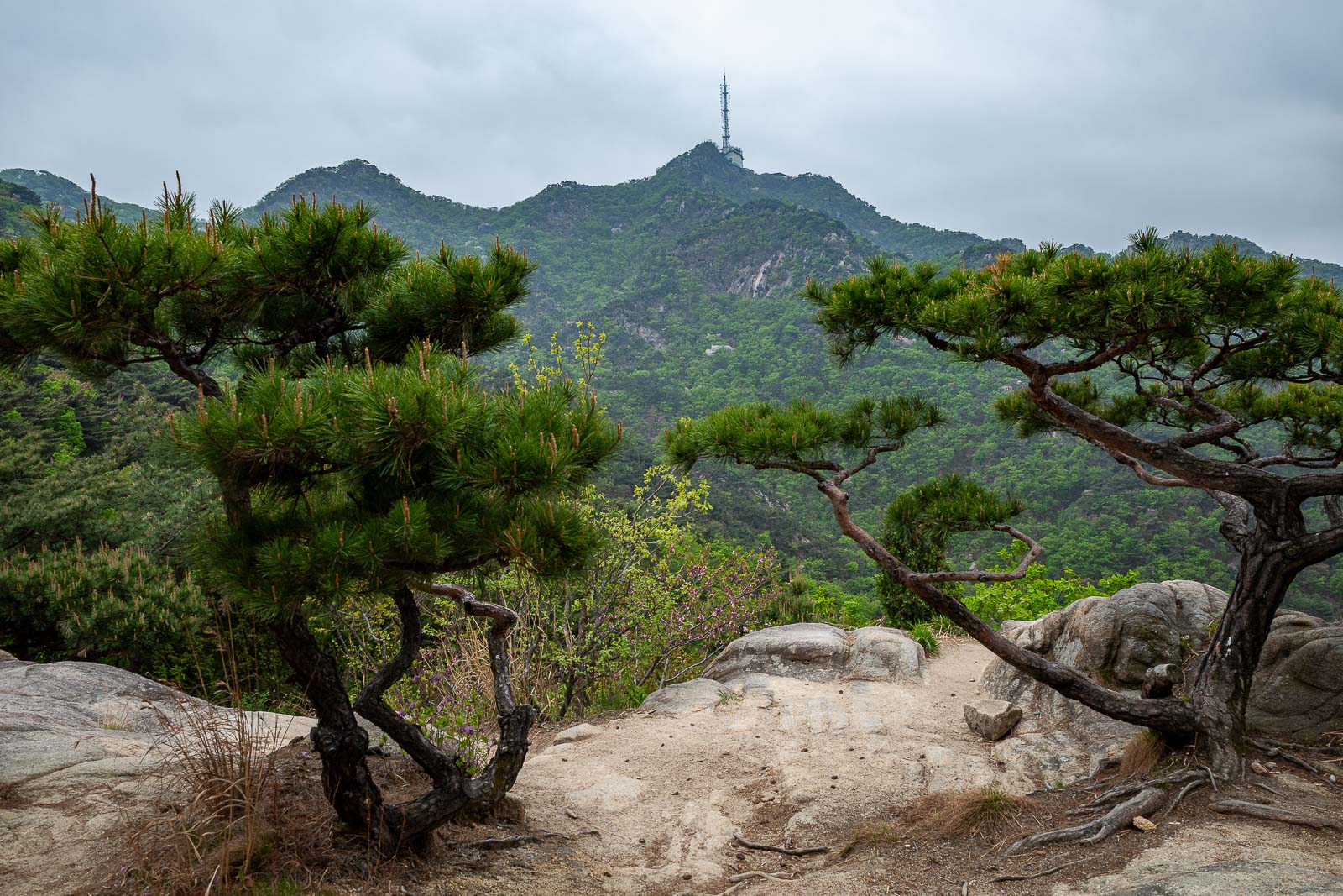
Some more ridges, with stairs visible, and if you squint, you might see the antennas at the eventual destination.
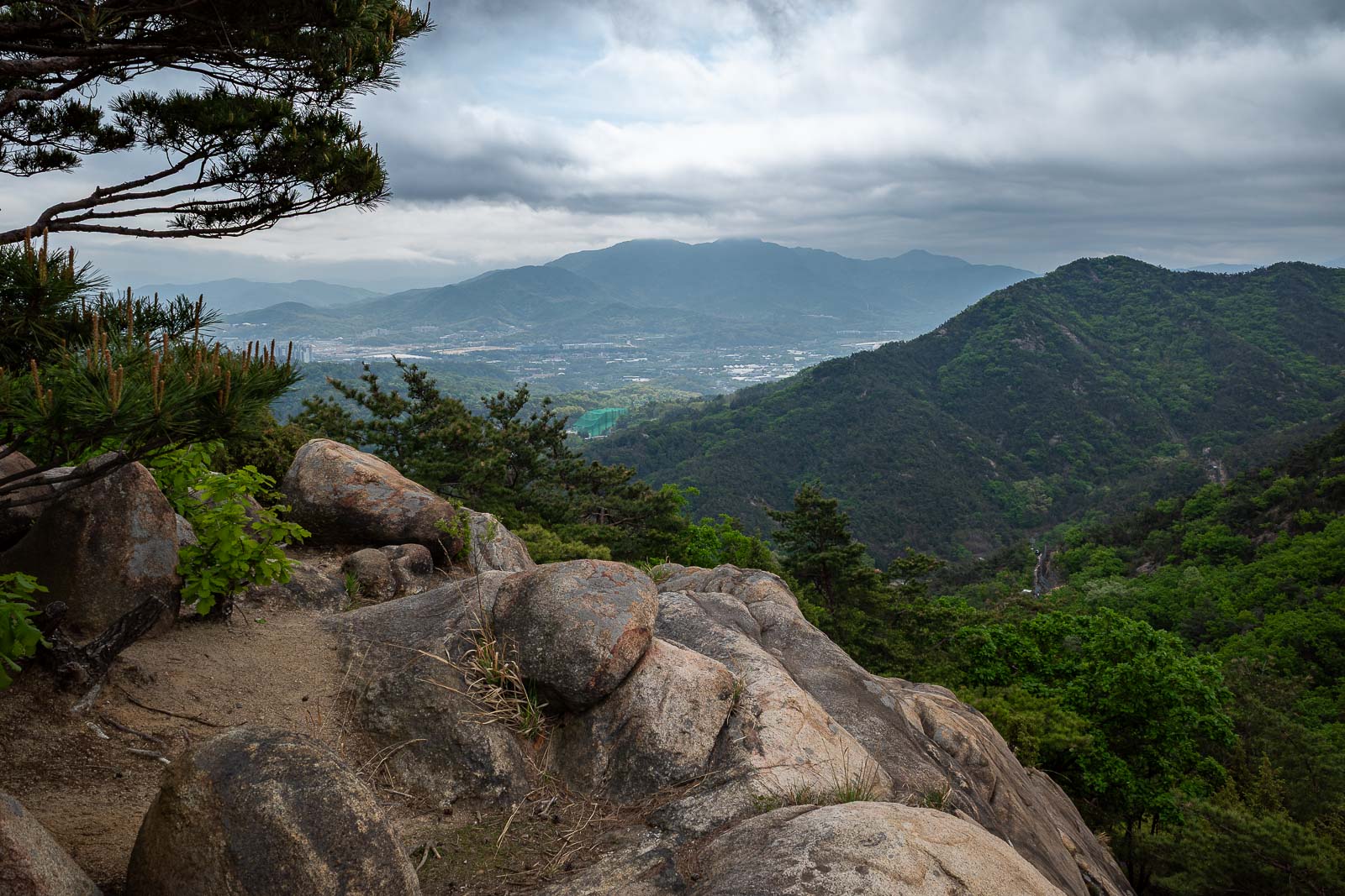
The next mountain over. I think I have probably been up it.
Back in the direction I had come from, lots of stairs.
I was in no hurry today, so I took time to enjoy the scenery.
First of two of these today, stay tuned for my shocking realisation!
I had climbed along those already.
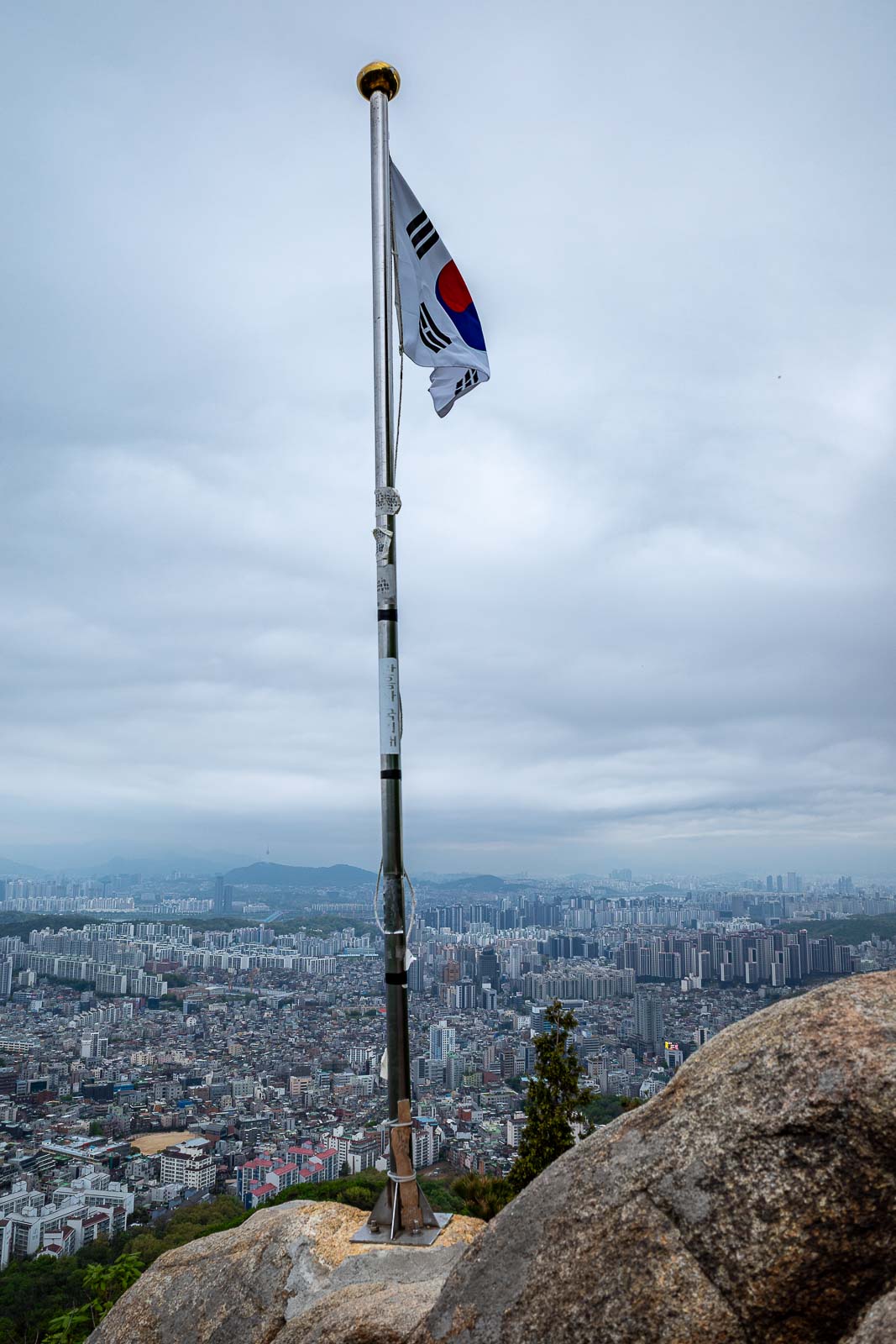
The next flag is the most famous flag, it is marked on the map.
The rocks up to the flag are not slippery, but it is a bit vertigo inducing.
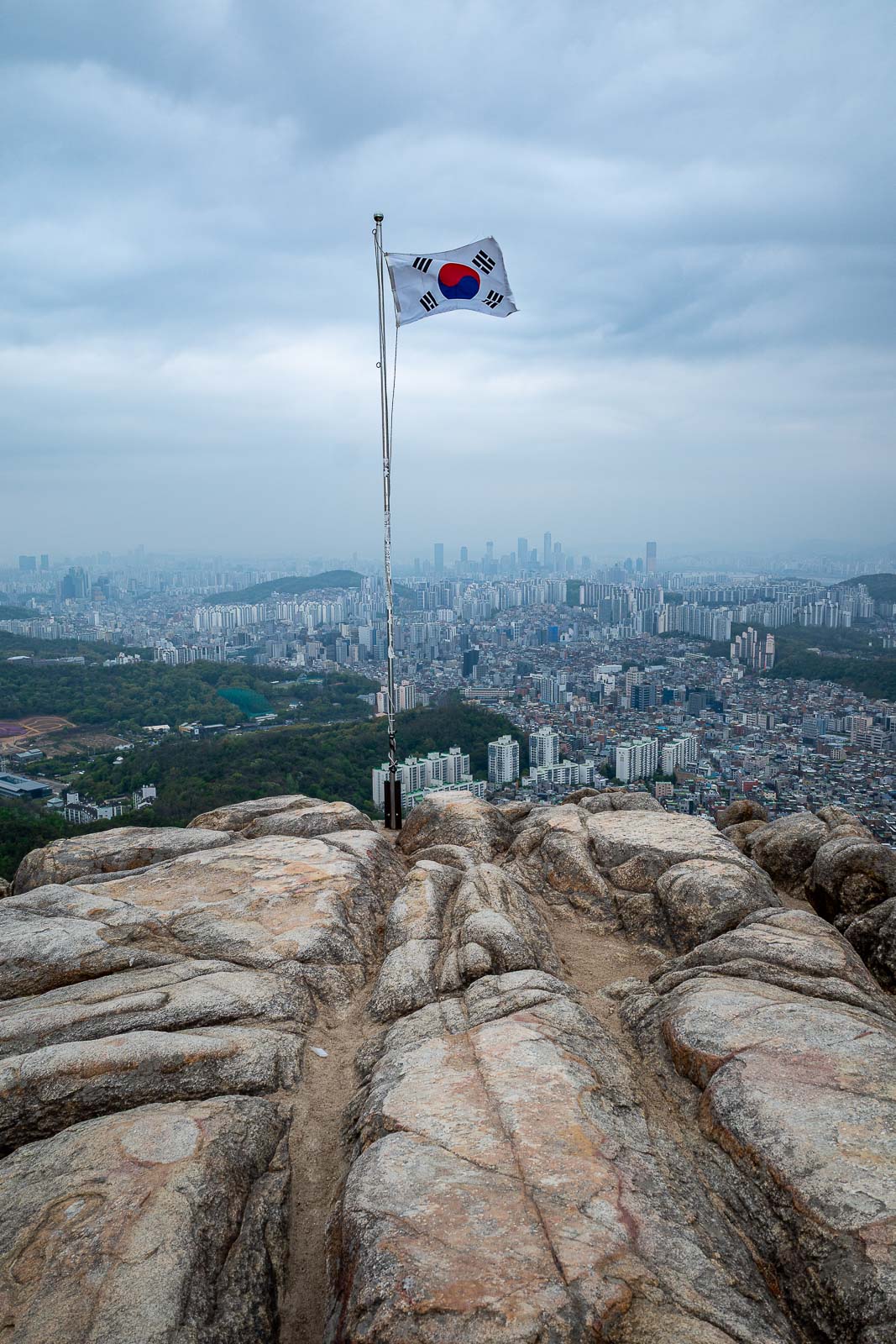
Bonus flag shot. There is still one more flag.
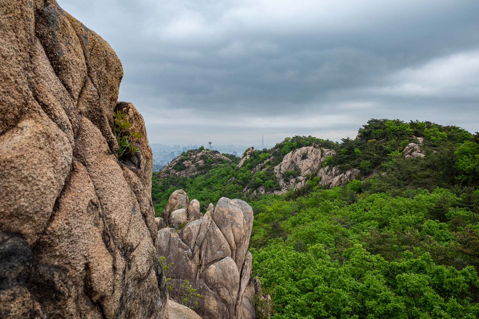
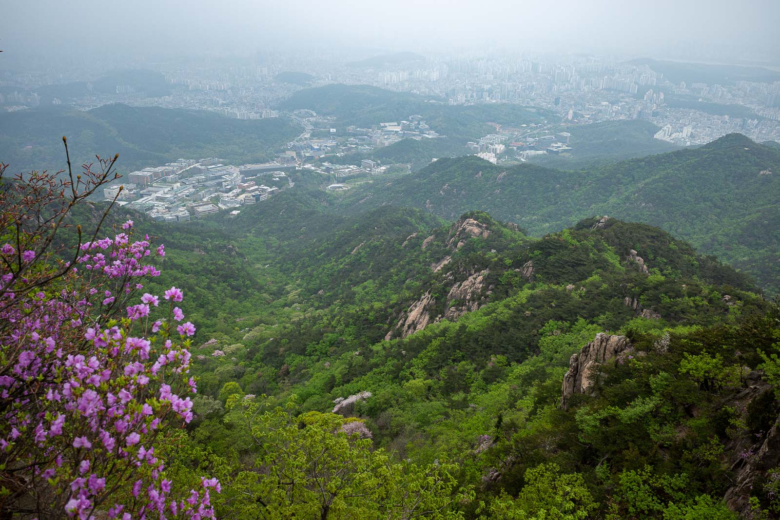
When there were not stairs, the ridges were very nice, good tree cover, but also lots of view spots.
Cloud getting thicker.
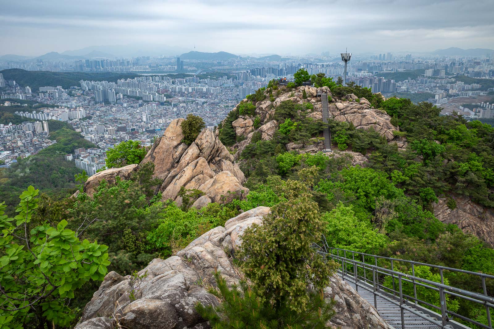
Getting closer to my destination, but there's still some steep sections to come.
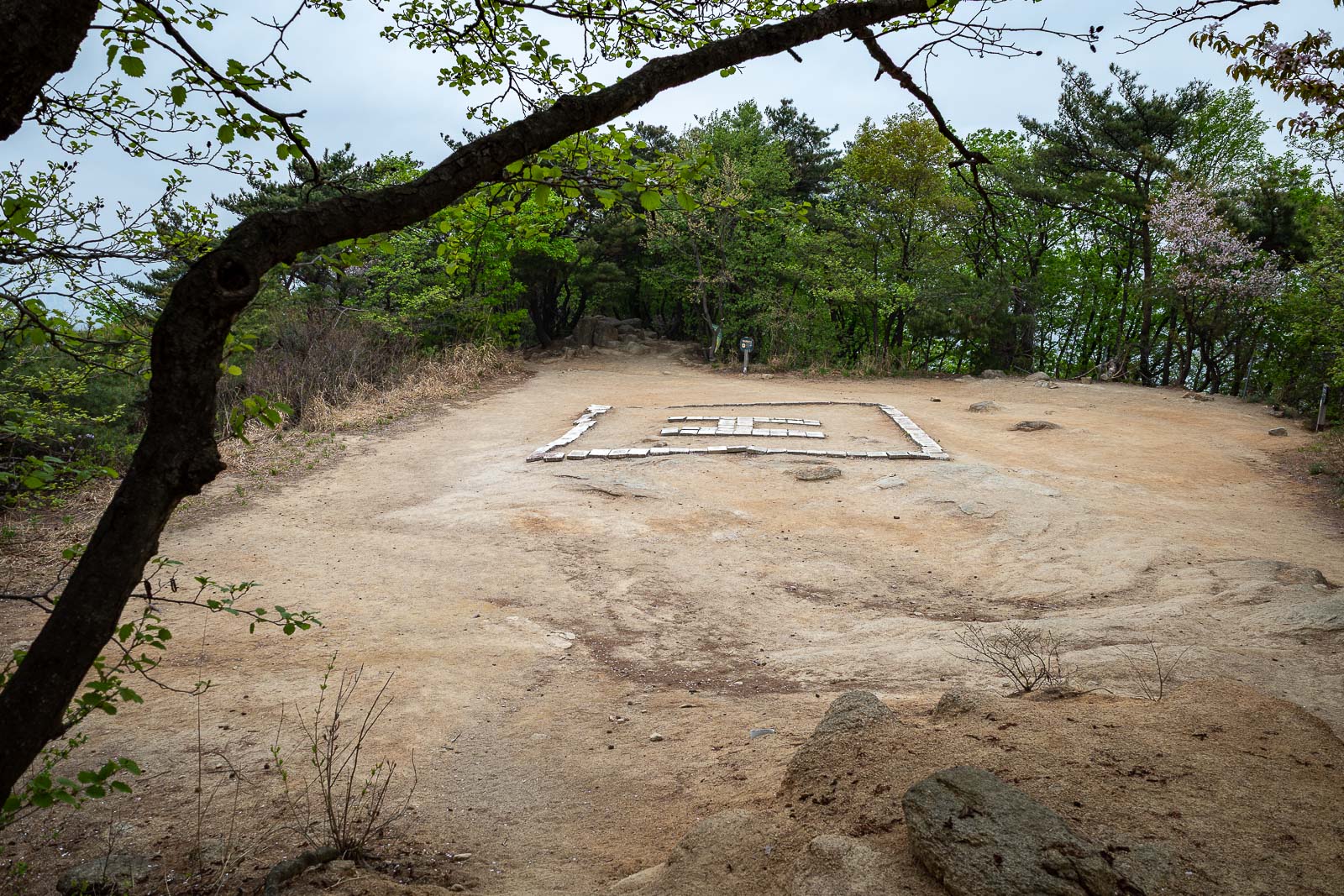
2nd helicopter spot, and I looked at it and thought ok, maybe a small helicopter could land here, then I realised... they do not actually land here to rescue someone, they just winch you up from here. All this time I thought Korean helicopter pilots were cutting trees down every time they landed on an H in the forest.
Still one more ridge between me and my destination.
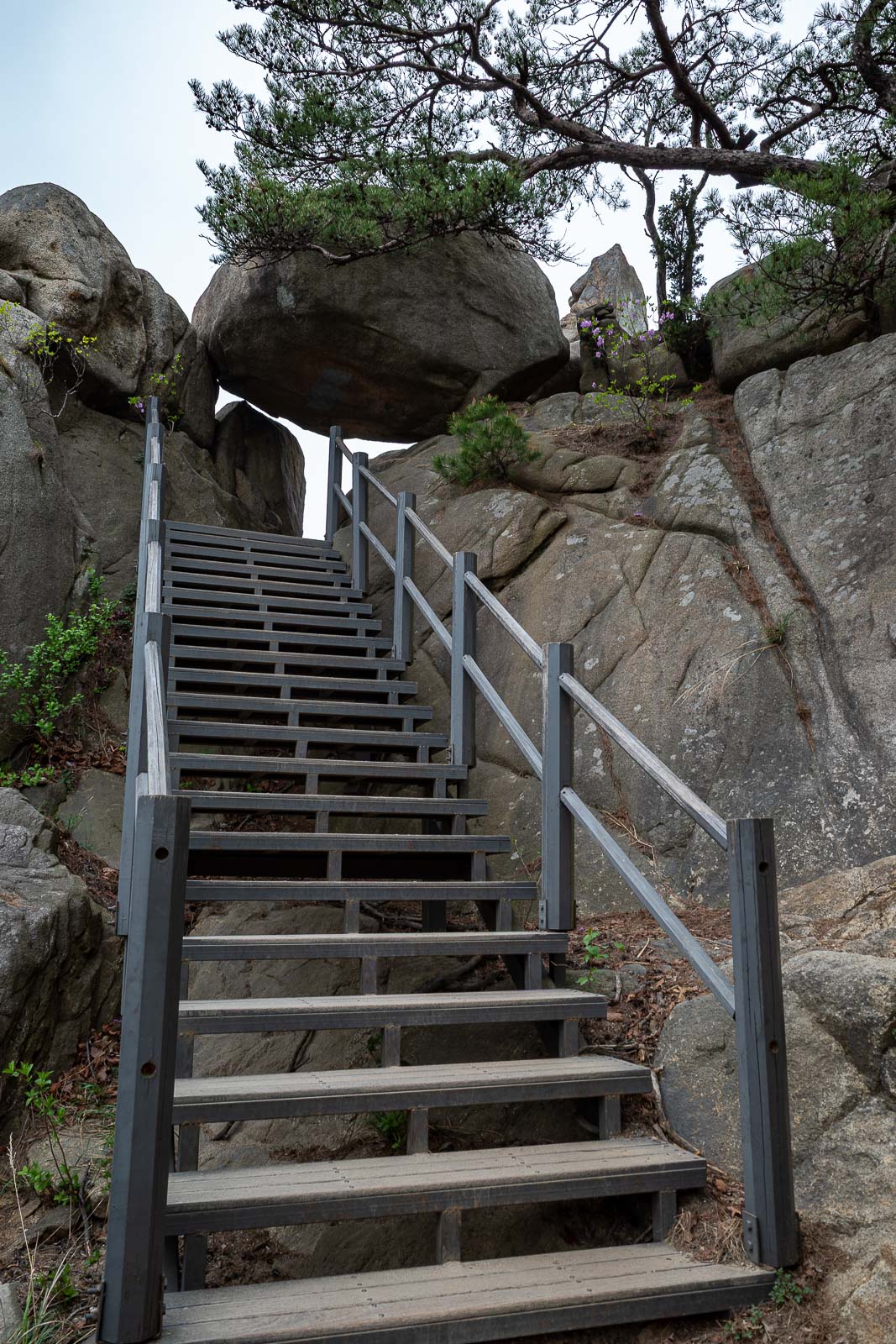
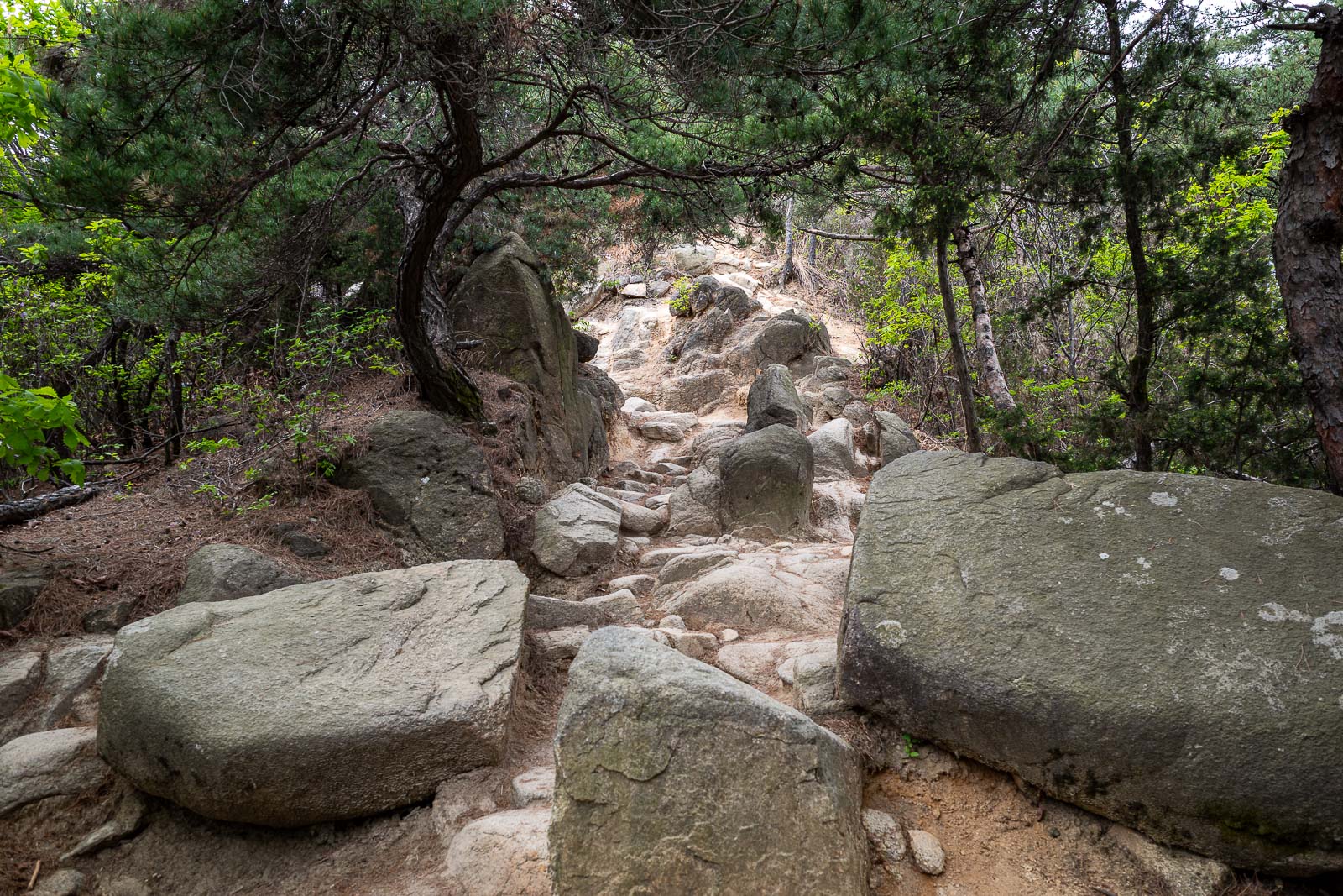
I think this staircase is new, I remember climbing up here before, and I can see where ropes used to be attached.
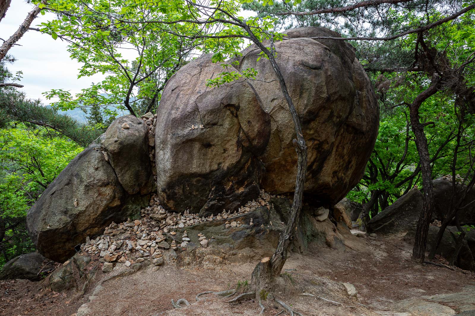
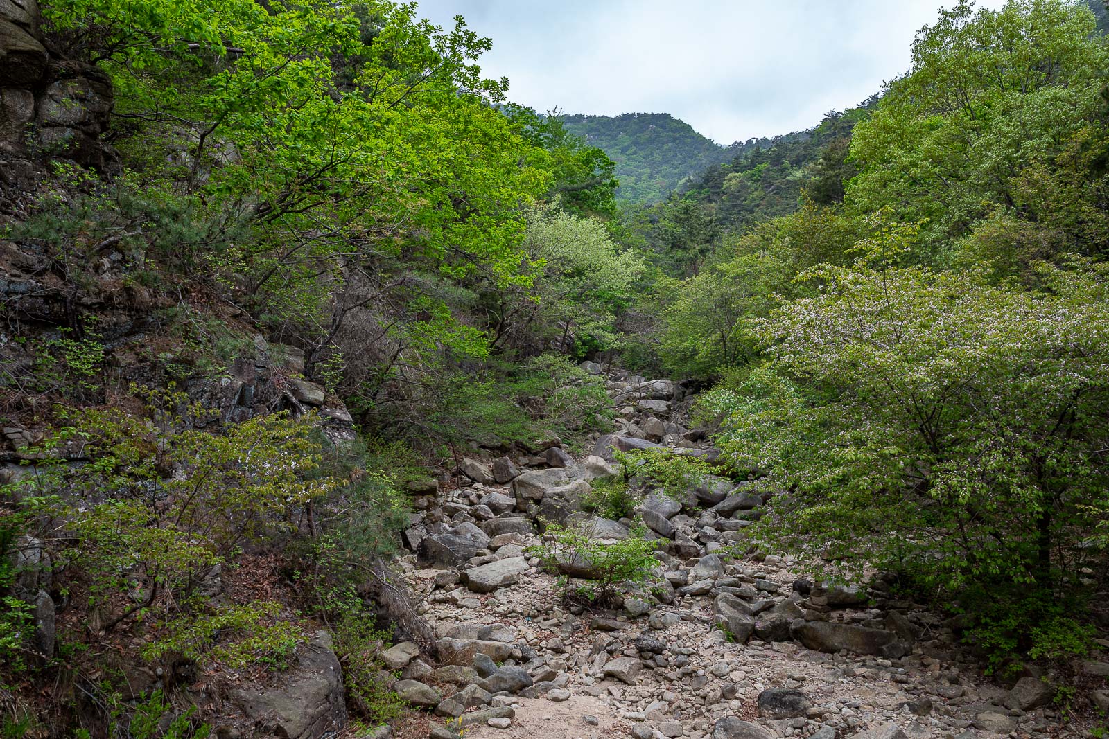
So many great rocks today.
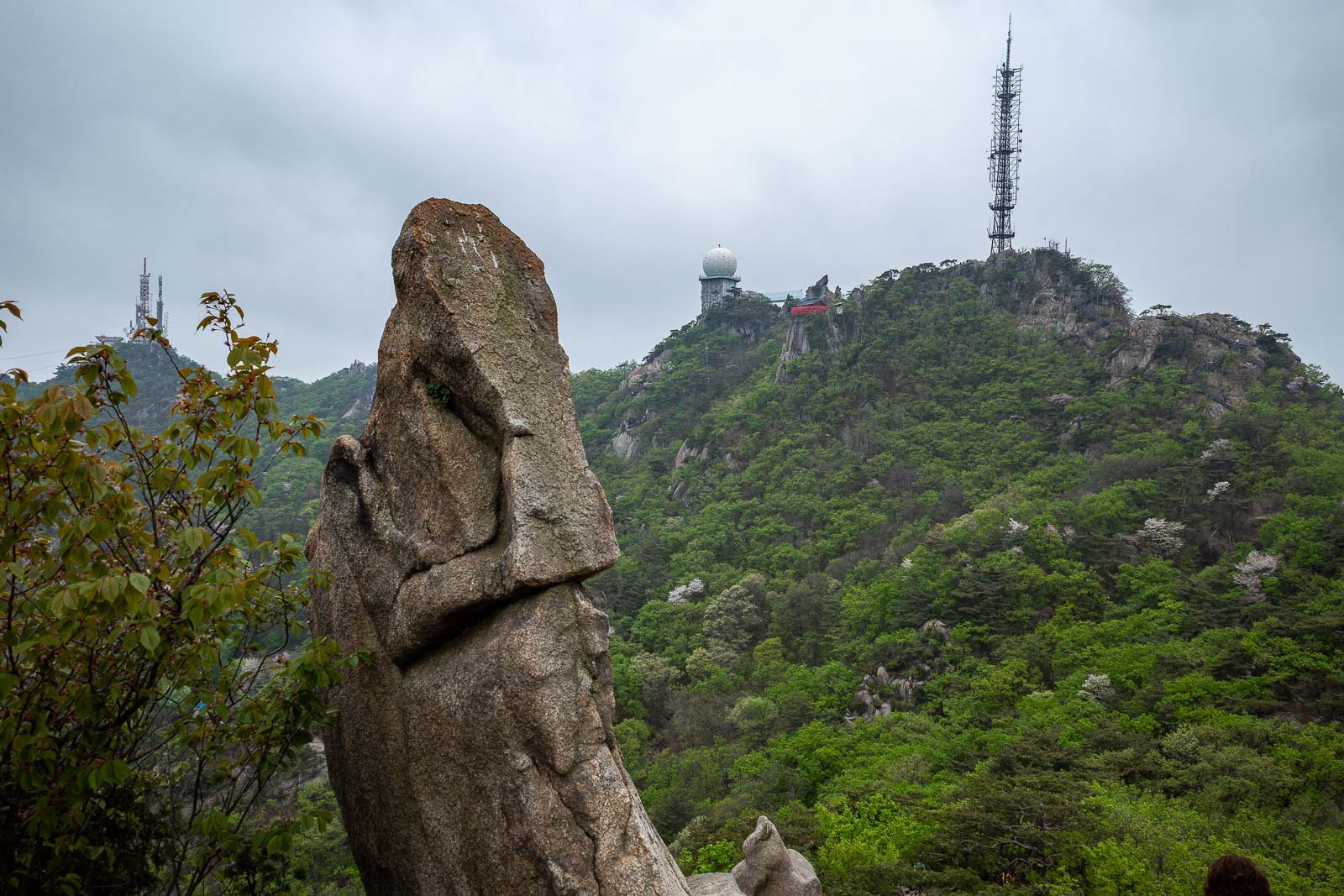
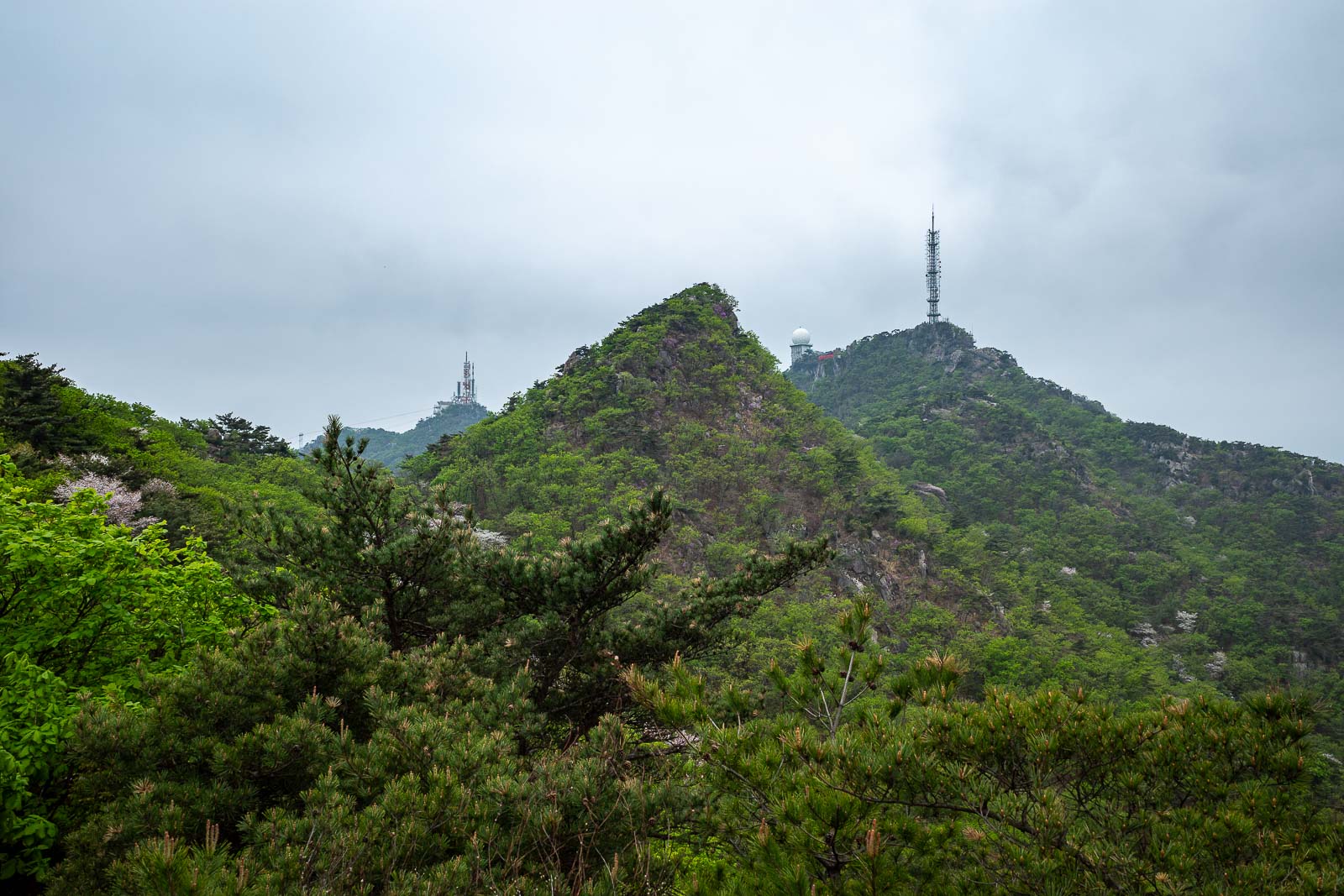
The golf ball tells me parts of the summit will be off limits. Also I can see a temple there - red bit to the right of the golf ball.
Still not raining, a lot of photos today.
Almost at the top.
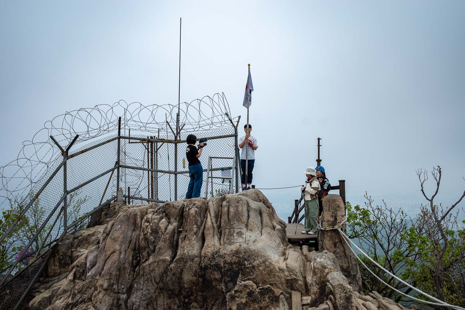
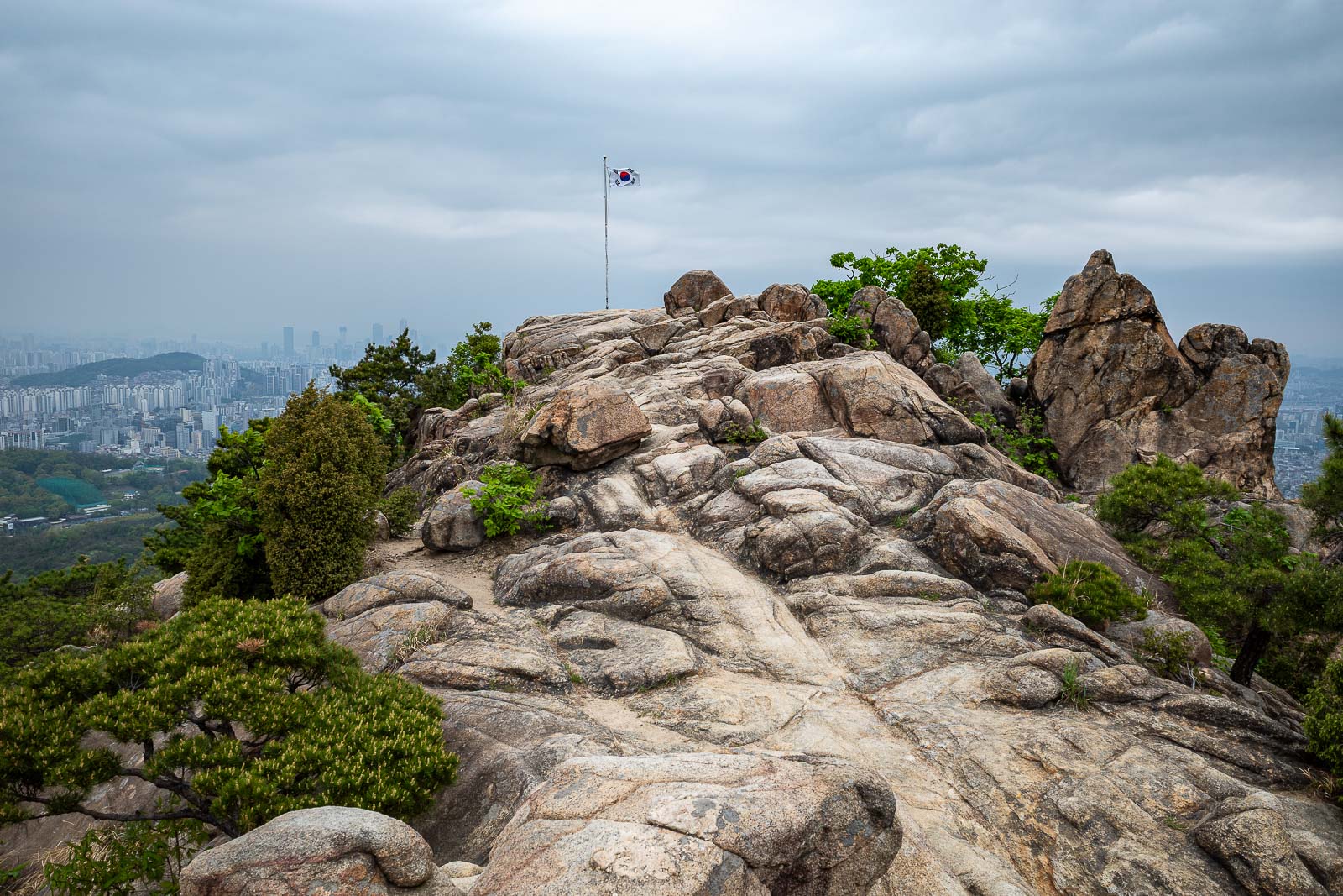
Behold, the summit, with a Korean flag and barbed wire.
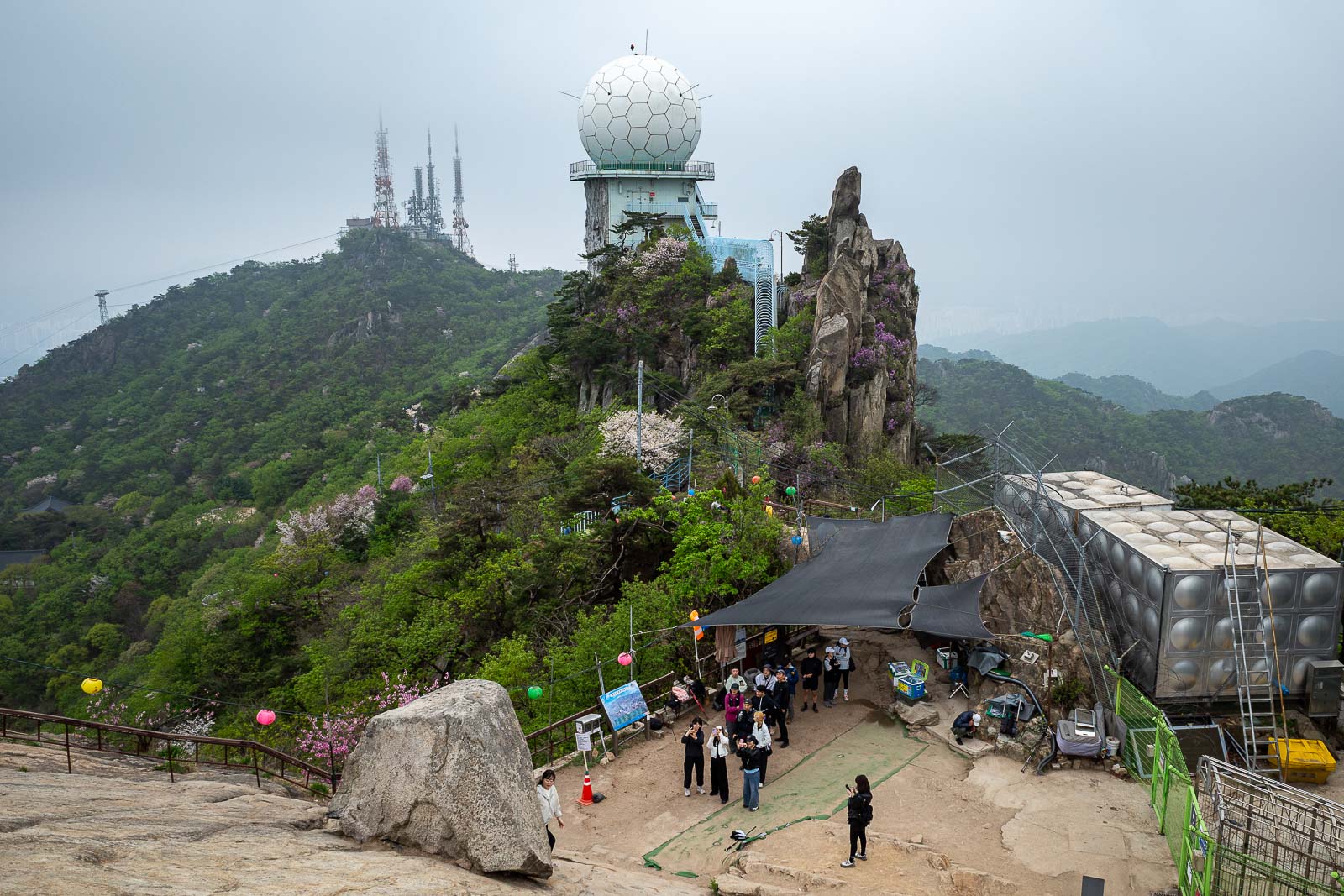
The summit area is very busy with a lot of construction. There is a cable car but I do not think it was operating today. You can see one of the cable car pylons on the left going up to the distant antennas.
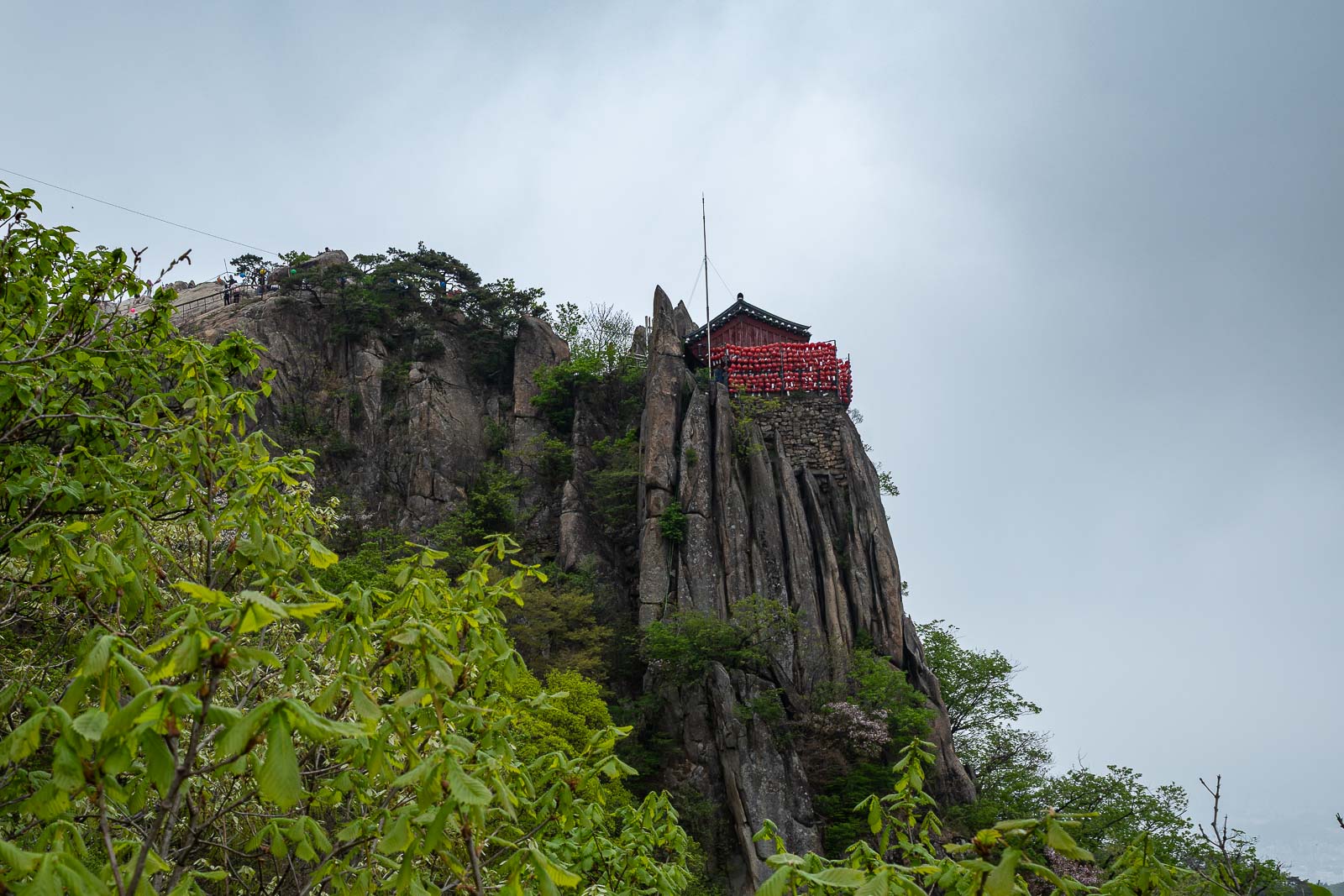
Best I can do for a photo of the temple on a cliff, I think it is behind a gate.
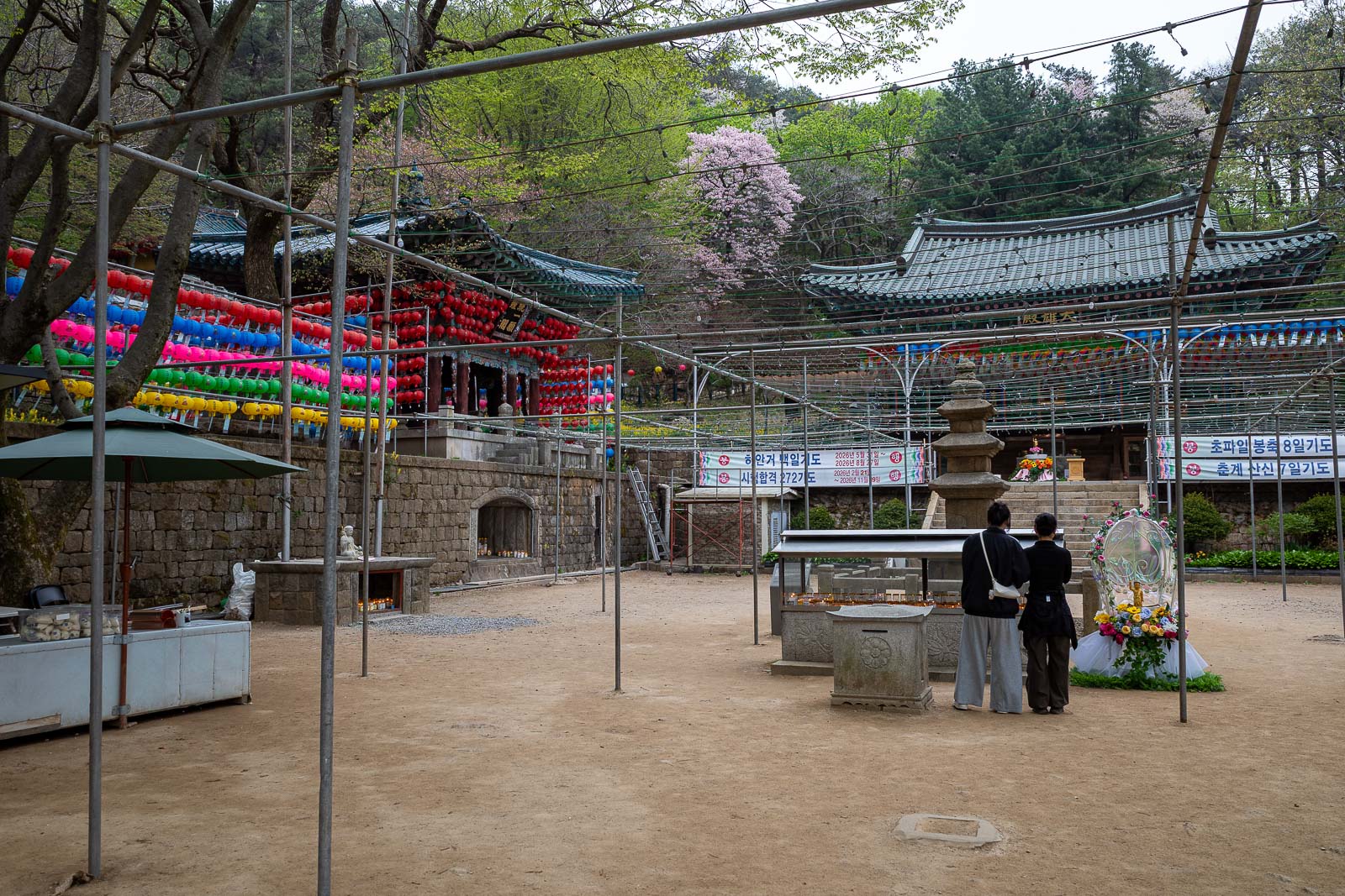
However just over the summit, there is a very large temple, impressive how large it is given that there is no road connected to it.
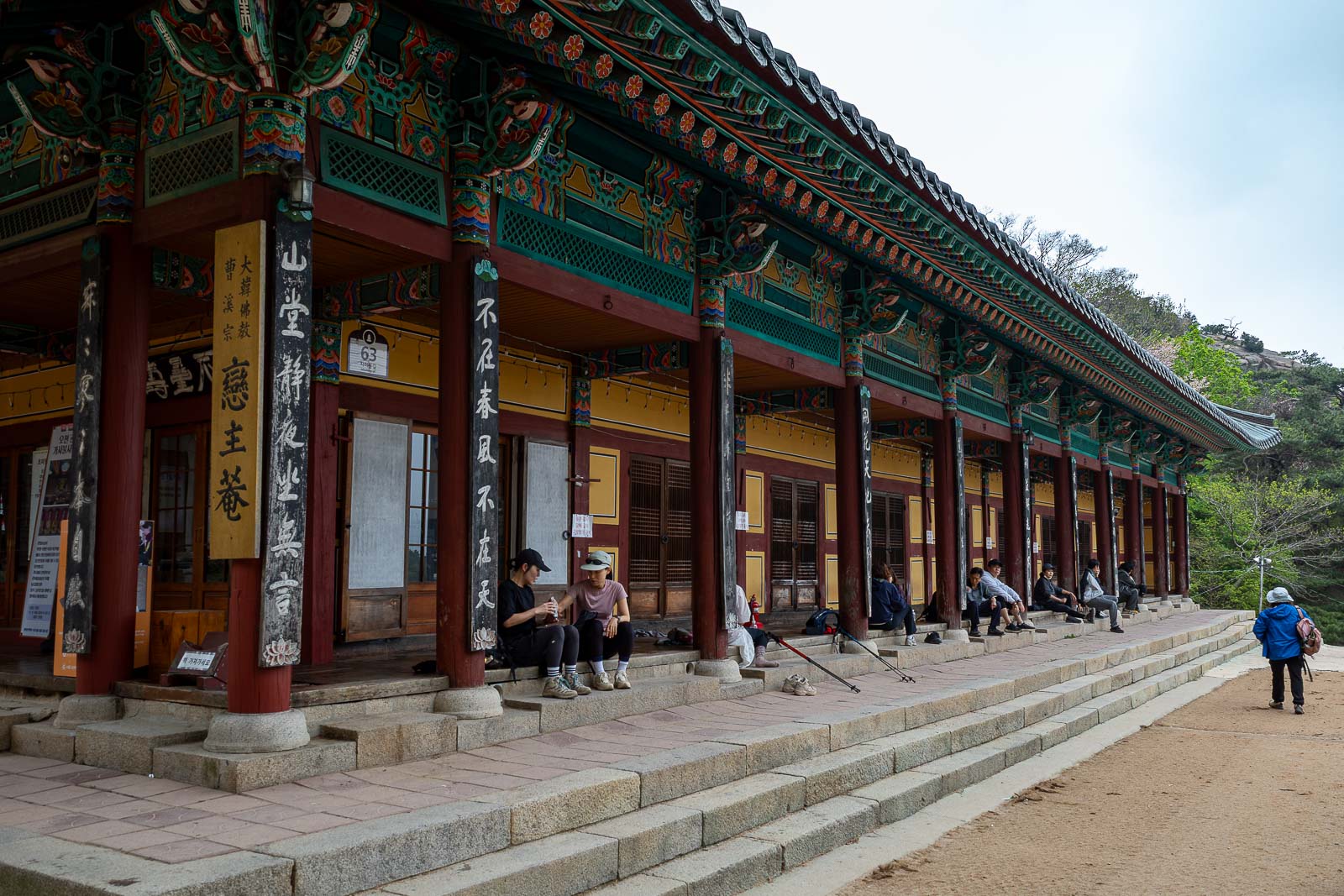
The priests sell instant noodles and provide hot water, all these people are eating temple instant noodles.
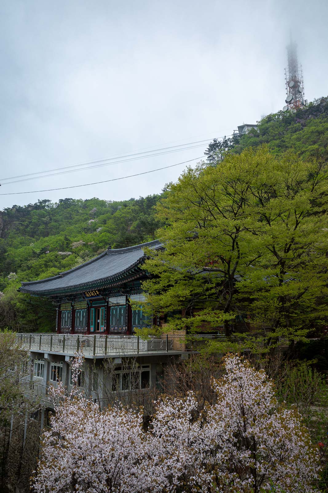
Antennas in cloud. This shows you how close to the summit this temple compound is.
The walk down the other side does not really have many views, but it is still a nice walk.
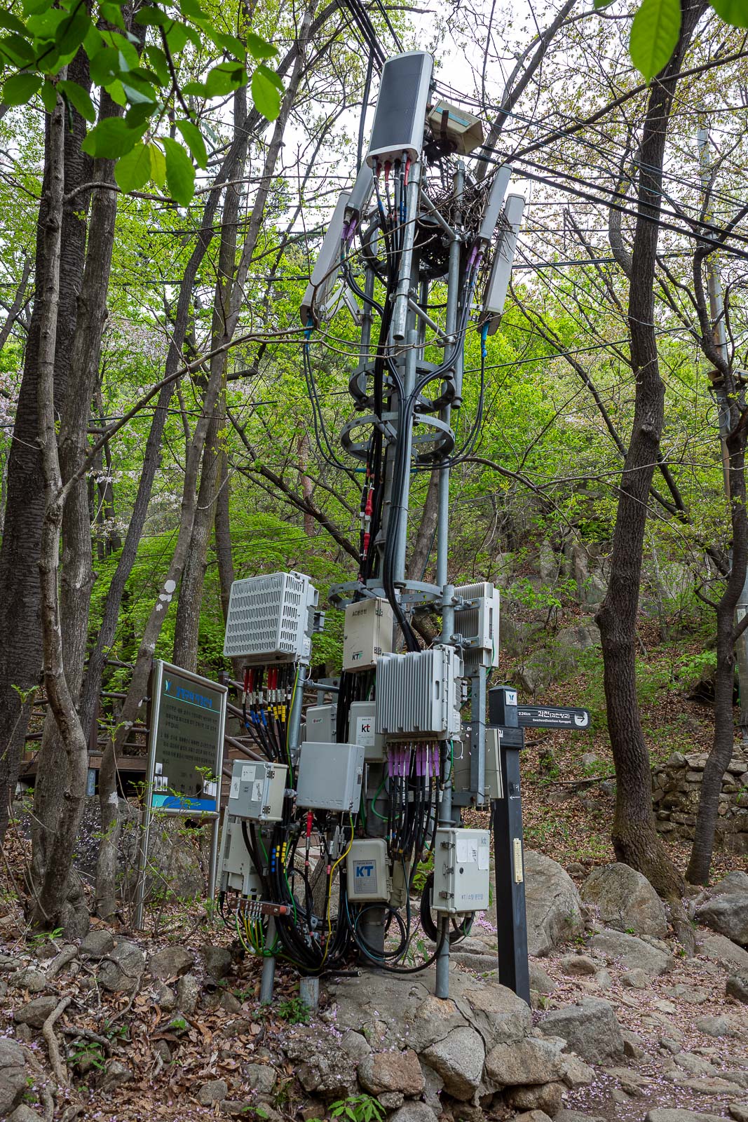
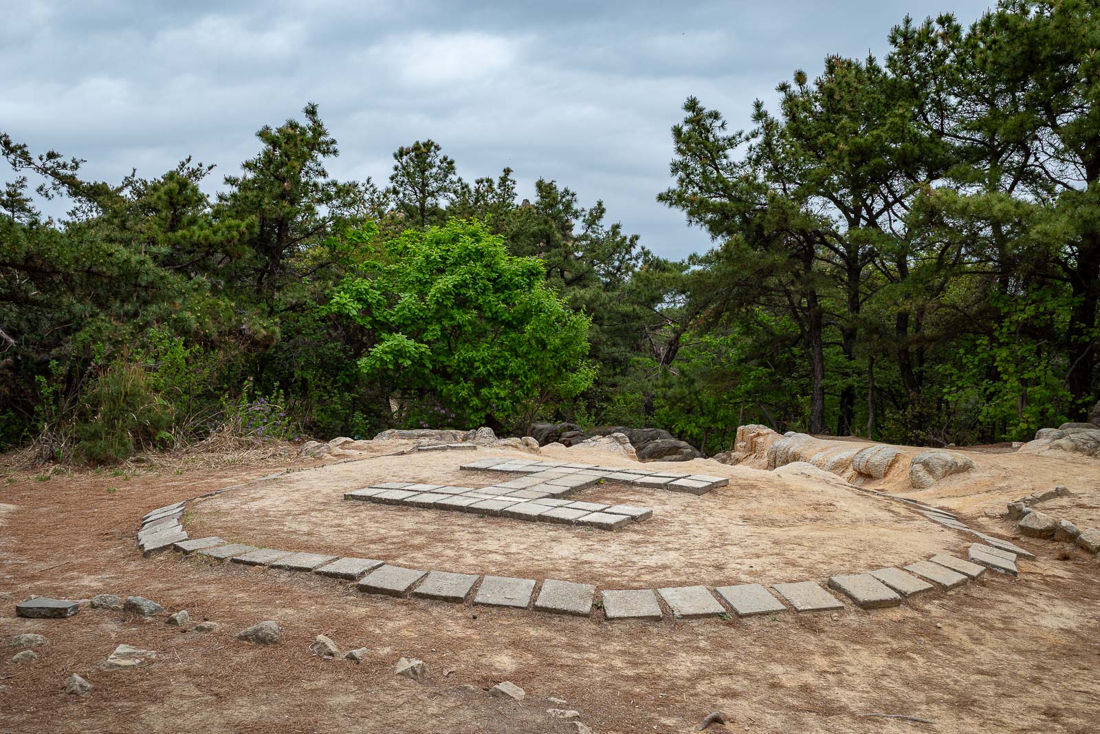
I am always amused to see things like this on a mountain in a forest.
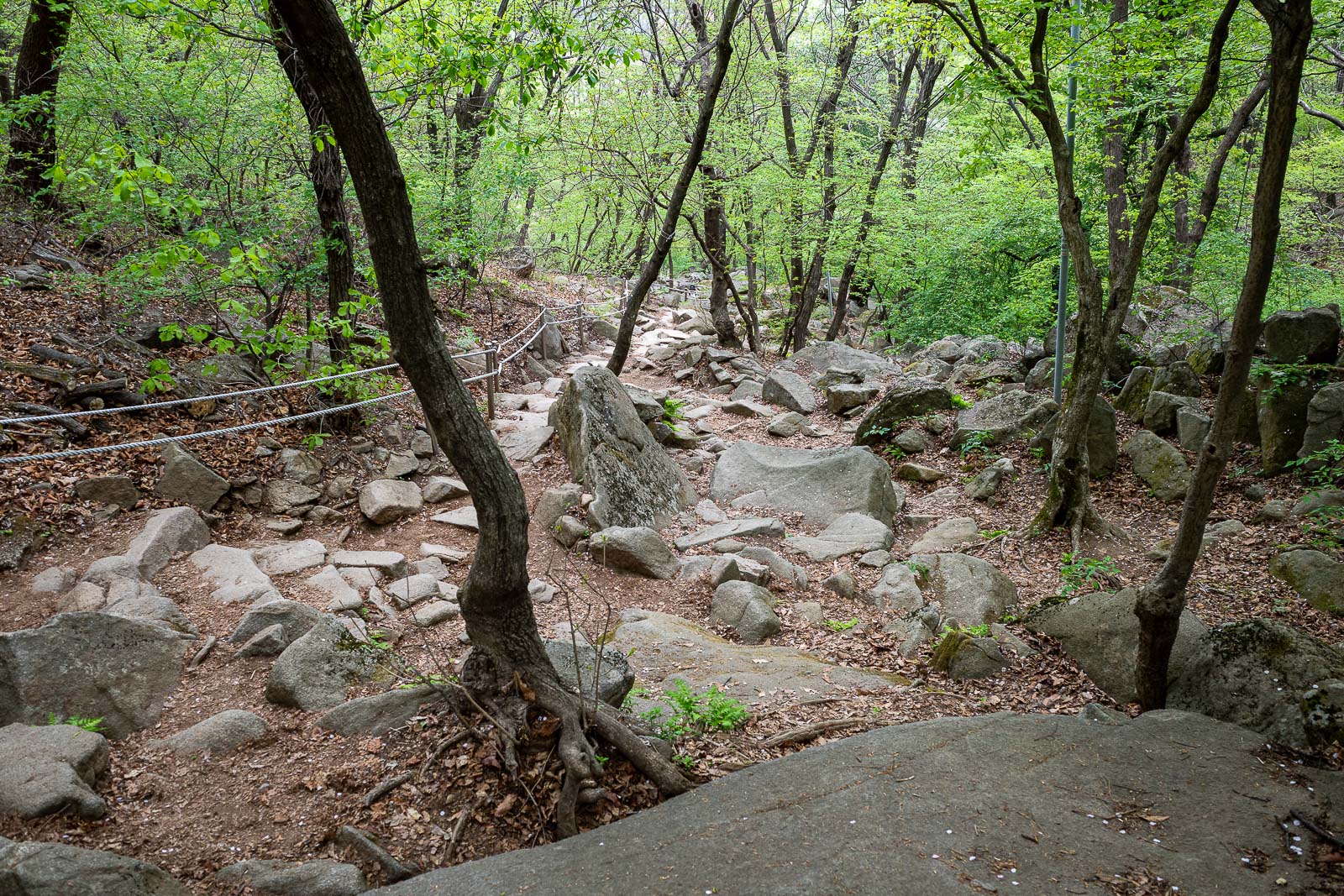
There are still a lot of nice rocks on the way down.
Nearly at the bottom, looking back up.
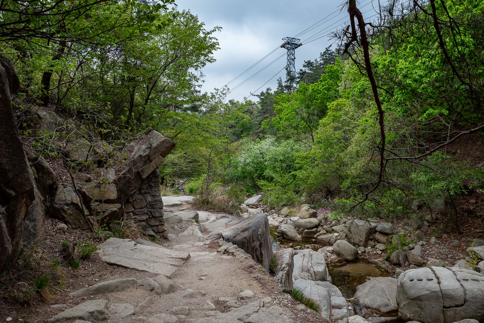
The trail ends at the bottom cable car station, and I am almost at it.
Eventually, a drain appears.
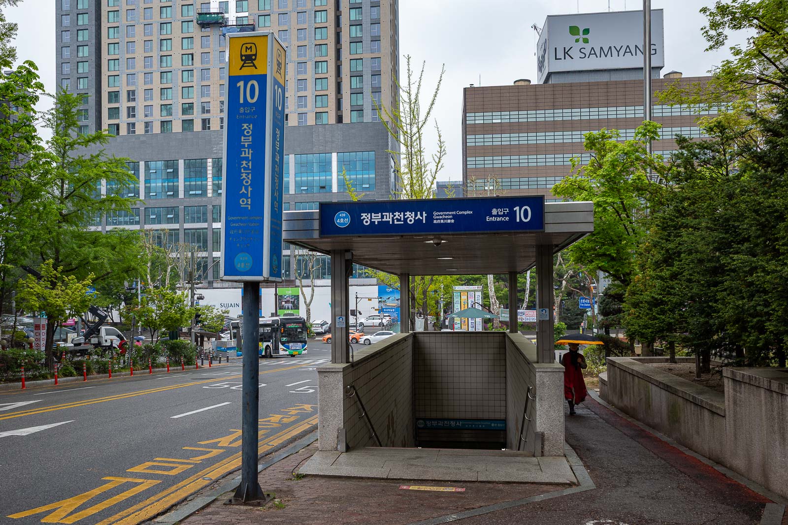
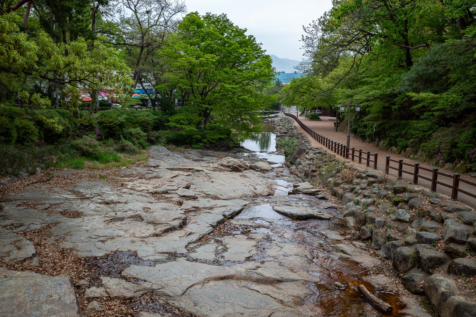
And after way too many photos, I even included one of my destination, government complex Gwacheon. There is another station very nearby called simply, Gwacheon, so take your pick. As I stood here taking this, the first drops of rain hit me, good timing.