24 November 2022
Rocky road
Dobongsan to Uijeongbu
Today I did a hike I have done before. Well, I have done the first bit before with the death defying hand rails and opportunities for plummeting.
Getting to the start point, at Dobongsan station, took a bit longer than I anticipated. First of all the train I was on just stopped and threw everyone off. It is a very long line so some of the trains do not go all the way.
Then I missed the next train as I was not sure if a limited express would stop where I was going, and then while I was figuring that out the all stops train went past on another platform. So this all added about 30 minutes onto the journey.
Once off the second train, and it is suburb all about hiking. All the roads leading up to the start point are lined with the usual North Face, Black Yak, Columbia etc hiking shops as well as cafes and old women selling tomatoes.
It was a weekday, I dare not go here on the weekend as it would be chaos which I will explain in the pics, but despite that, it was still pretty busy, at least at first.
Once you get past the hand rail rocky road at the top of the main peak, there are numerous options to continue on, and a lot less people.
The hike took just over 5 hours, but was not very far, only 14km, and only 25,000 steps. Obviously the climbing over the rocks with the hand rails takes quite a while.
I did all I could to cull pics, but there are still quite a few!
Minor update: if you want to see a lot more photos of handrails on Dobongsan, you can go to the home page, click search, click the tag for Dobongsan and have a look at my previous visit in 2015.
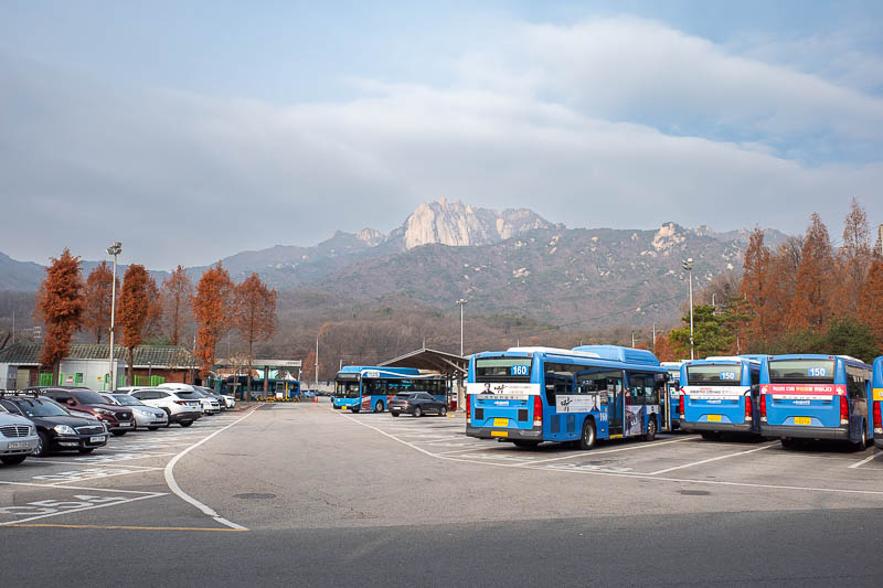
There is Dobongsan, in all it's rocky massif glory. It is part of Bukhansan national park to the north of Seoul. Dobongsan is in the northern part of the national park, but Seoul still extends a lot further north as you shall see.
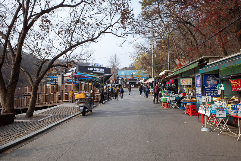
The roads up to the start of the trail are a hive of activity.
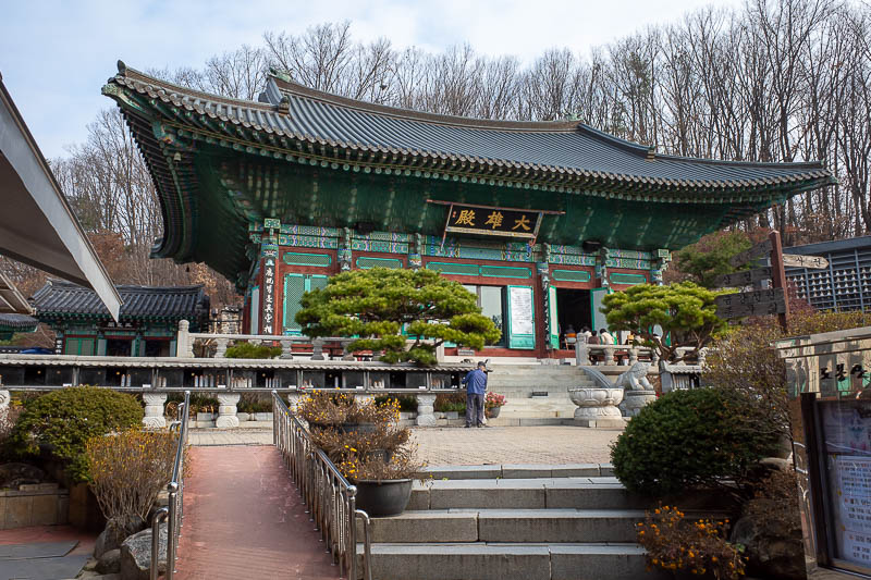
As expected, the shrine. There was none at the end of the hike today, but there are many hermitages all through the park. No matter how remote they are, they seem to have enough loud speakers and electricity to generate deafening feedback with the low throat rumbling screams echoing across the mountains.
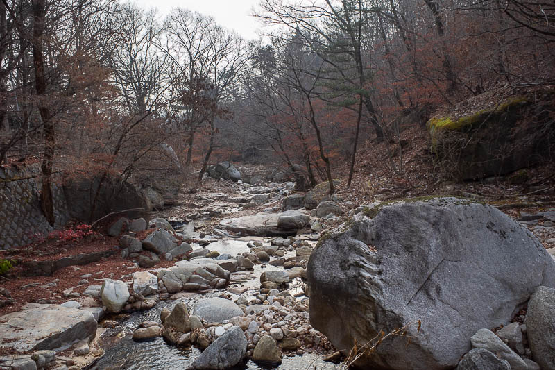
The first bit is a footpath alongside a stream. I do what I can to hide the fact it is a bitumen footpath.
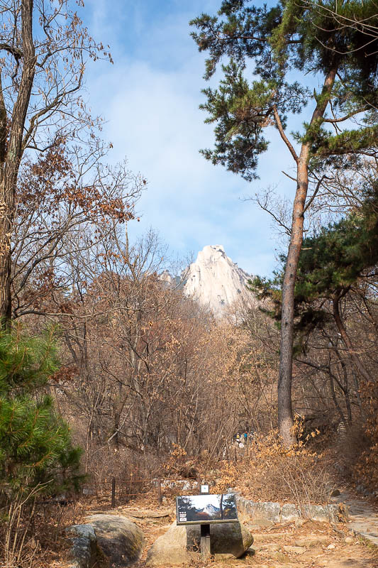
Part of the rock face sticking up. There are a lot of big rocks today.
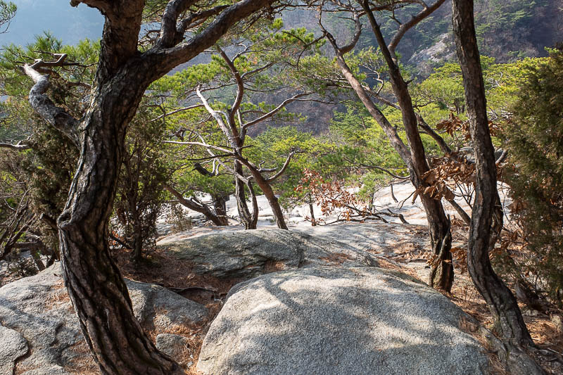
Here is a part of a rock I climbed up.
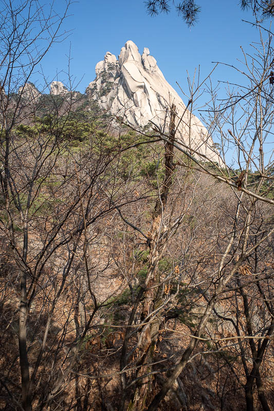
Getting closer. I am actually going up there.
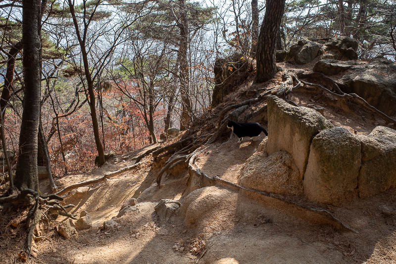
Look closely and you can see how lucky I am to still be alive. A small black panther was stalking me.
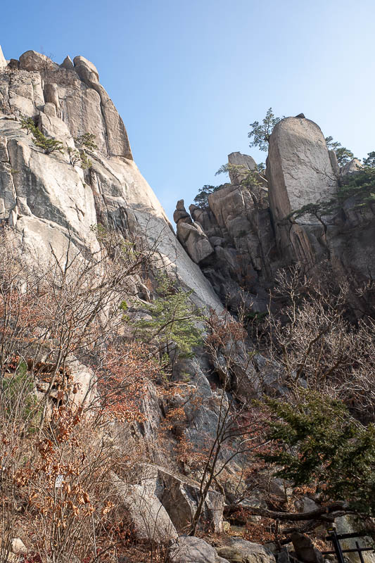
Nearly at the main bit.
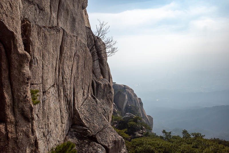
At this stage, probably already using the hand rails and trying to take a photo without getting them in the photo, and without falling.
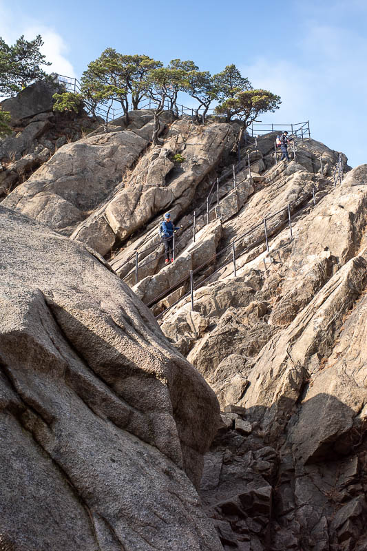
A series of hand rails to the top. Honestly, not that dangerous, it would be hard to slip as you always have 3 points of contact. Some of the gravel and leaf covered downward sloping rocky steps are far more dangerous.
I passed a girl on my way down one of the sections having a panic attack, sitting down, holding on with her eyes closed crying. She had 2 other people with her, not sure what you can do at that point other than get over it...
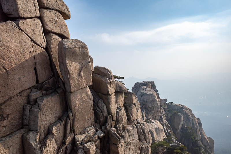
Some great rocky views, although Seoul was mostly covered in pollution haze. The hand rail sections extend for a few hundred metres, and often you are going down rock faces with metal pegs hammered into them, so photos are impossible. On the weekends, with hundreds of people coming in each direction, this would be... uncomfortable.
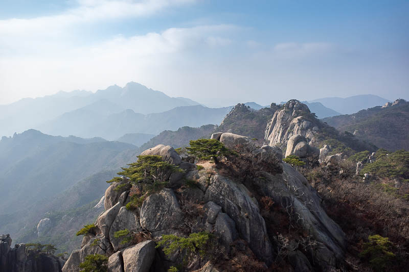
View number 1.
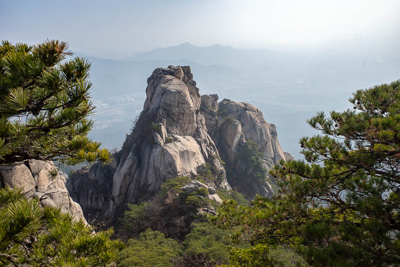
View number 2.
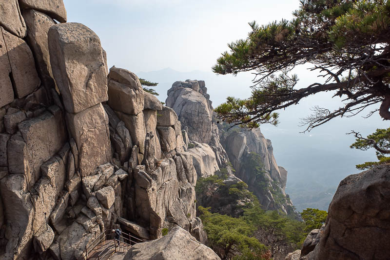
View number 3. I culled a lot.
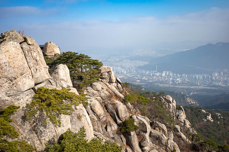
Seoul extends further north, of the left side of this pic, but it gets narrow between these two mountain ranges in the area of city shown in this pic.
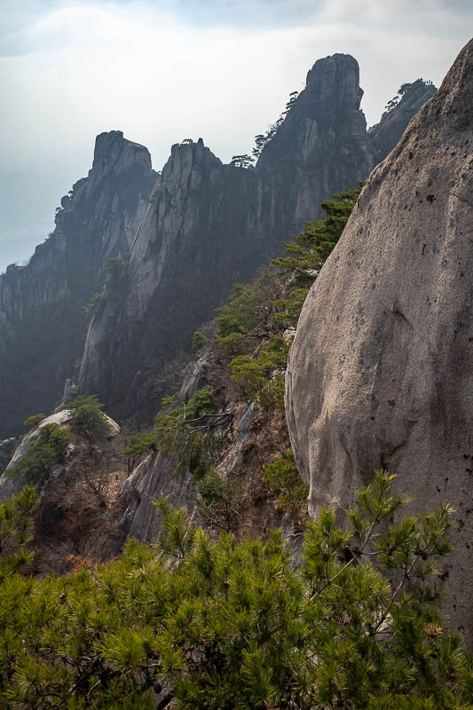
I believe I climbed over all of those using the hand rails. But I appear to have culled most of the pics that feature the rails. Today's word of the day, rail.
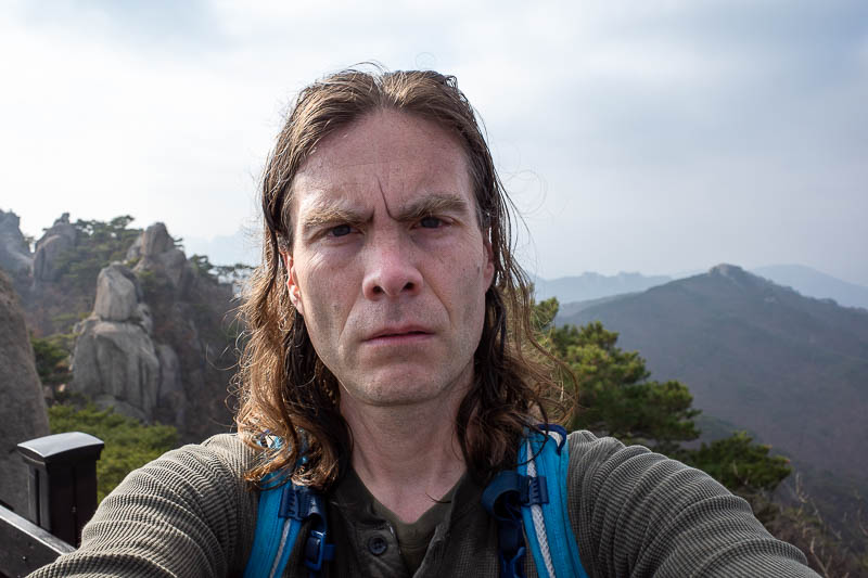
Time for one of these. Stance shot was not going to happen today, not enough flat area to put the camera down and stand far enough away.
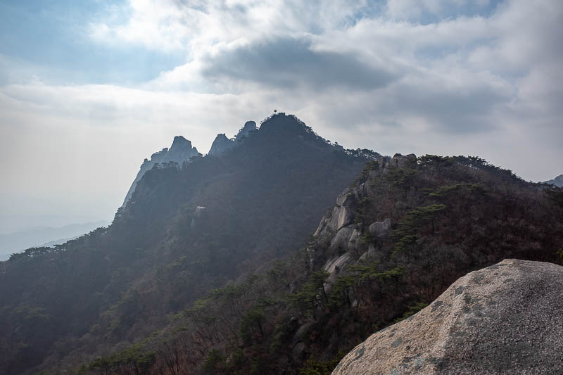
Looking back in the direction I came, most of the people are gone by this point. I realise now the most interesting bits I could not photograph as it was too dangerous to let go.
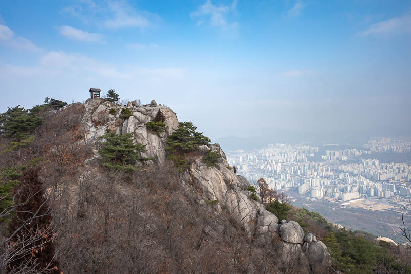
Next peak over has a little forest fire monitoring hut. If you notice a fire you basically have time to phone it in before you get burnt.
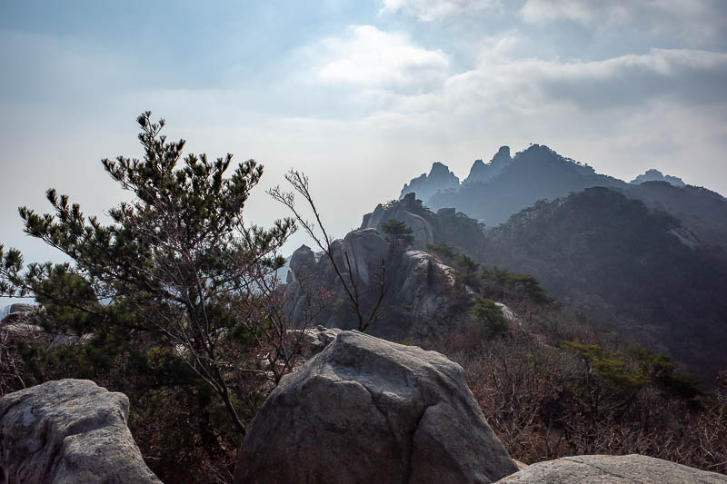
More view.
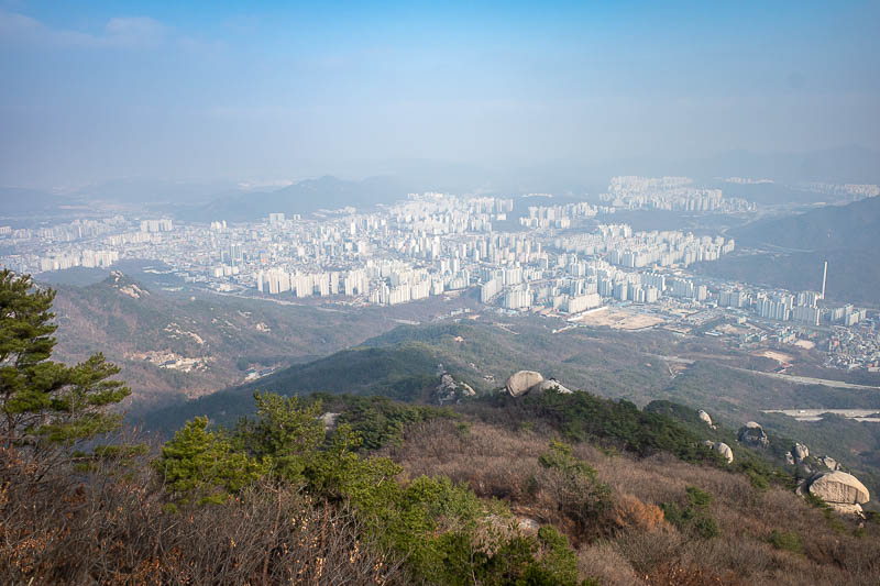
Northern Seoul beyond the divide.
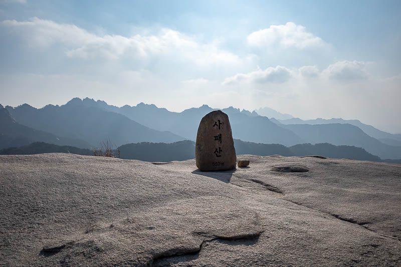
Last peak of the day. Not very high, but it was fun getting here.
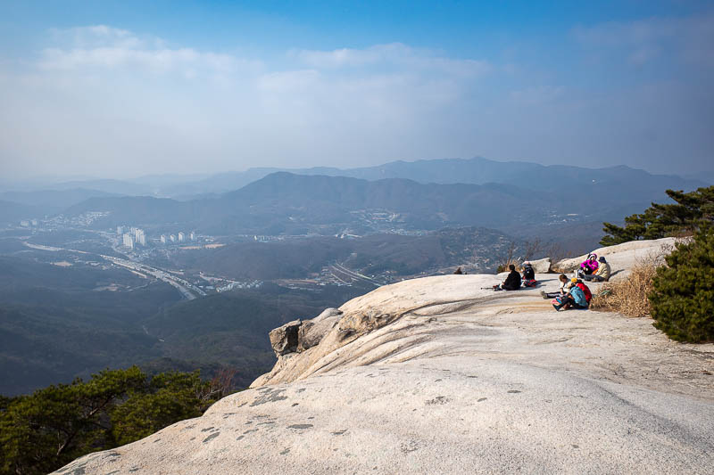
This smaller peak is at the very northern end of the national park, I believe it is called Sapaesan. I suspect most of these people have come up a direct path from a temple that I circled around to extend my hike. A grandma saw me go past and called me a handsome boy.
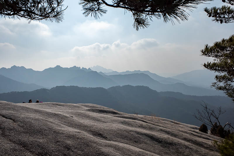
A bit more view from Sapaesan.
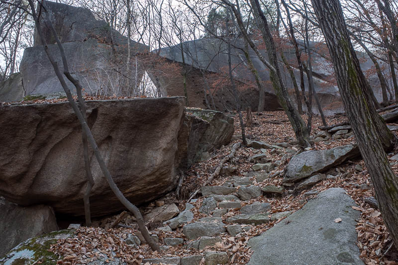
The way down had many giant rocks to go past, and the usual leaf covered paths. Not a lot of colour to gawk at today.
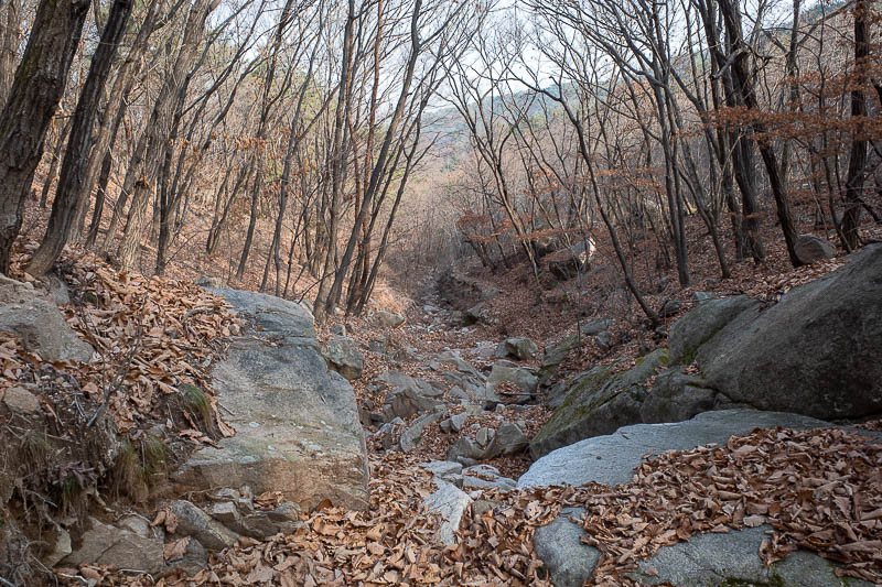
Nearly at the bottom.
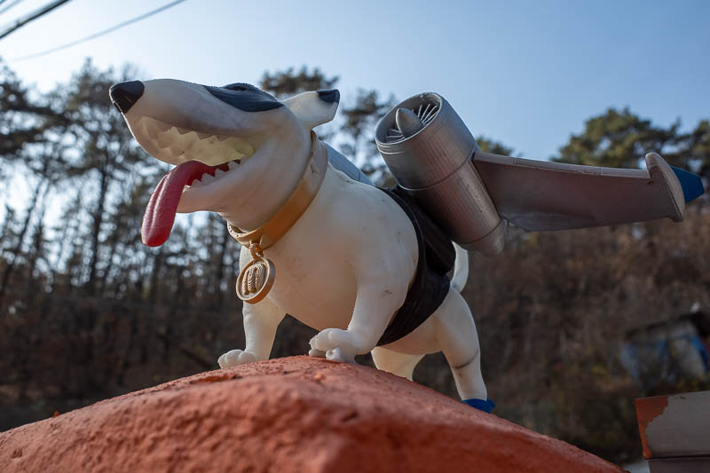
Instead of coming out at a shrine, I came out in a little street with bars and cafes, and a dog wearing aircraft wings with jets on them.
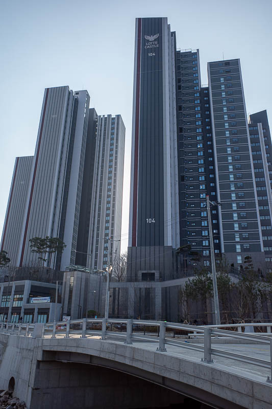
I expected to come out into some ramshackle mud huts. No, giant brand new, not even 'grand opening' yet apartment buildings.
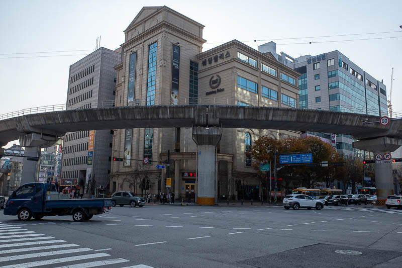
This area of Seoul has a monorail running a loop around it. Before now I thought it was a tram, I have never been here before.
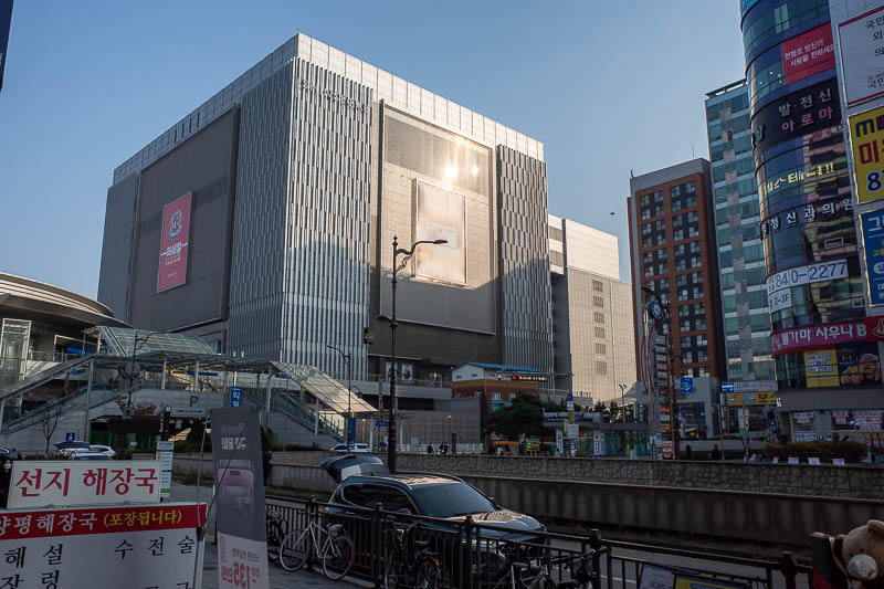
And final pic, I did not expect to stumble into a giant Shinsagae department store on top of the subway station at Uijeongbu. There was also a very large labyrinthine underground shopping mall that I got lost in looking for the train.
Usual warnings about tonight, I am unlikely to go far so the pics will be bland and in short supply.