9 November 2022
9 wrong turns before the start
Maebong and Cheonggyesan the long way
I have done the middle part of this hike previously, in 2019, which I named 'great hike with a crap view', the same was true today.
I approached the hike from a start point a long way from where most people start, to lengthen it. This was a mistake. I was trapped on the wrong side of a 10 lane freeway and I tried 9 different ways to get to where I wanted to be and all of them ended in barbed wire fences or roads you cannot cross on foot. Eventually I gave up on my desired start point and found a dashed line start point. My experience with dashed line trails is mixed, sometimes they are so overgrown you cannot use them, sometimes they do not exist at all. Today's almost did not exist, but a farmer helped me find a way to start, he was very amused, spoke no English, but when I pointed in the direction of the mountain and said 'Maebong' he got it, and escorted me through his farm, with his dog going crazy at me the whole time.
Of course I should have strangled him, because the smoke today was horrific, the worst I have ever seen, and him being a farmer is the cause. This more than the chosen hike was the cause of the crap view, there actually were a few spots with a great view, but instead of view there was only smoke.
So I took too many photos of the path and a few of a bad view. Scroll on!
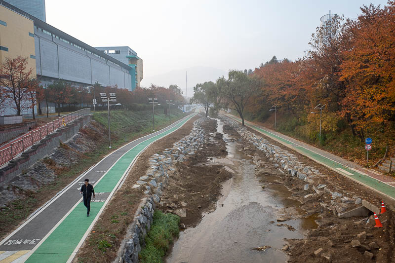
I got off the subway and thought I will just walk along this drain to the start of the hike. It went under some freeways. It never went under the freeway I needed it to.
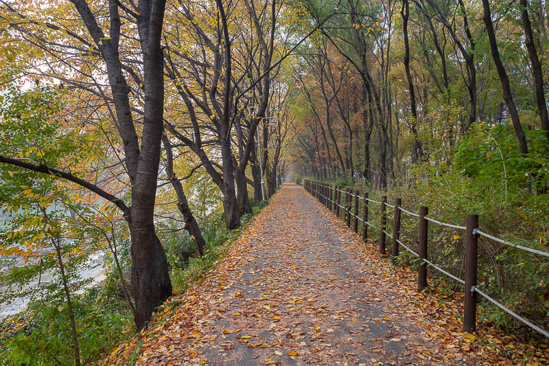
I doubled back and went along his trail. It seems like it will go to the mountain surely. No.
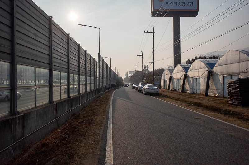
You can see the freeway and the impassable wall next to me here, and farms to my right. This was after I found a way under the freeway, via what might mainly be a drain, but was being used by farmers to drive tractors through. It was over 6000 steps for me to get to here before I even started.
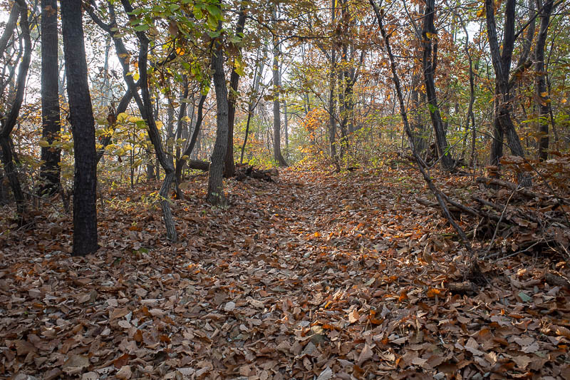
Behold, a path, and lots of leaves.
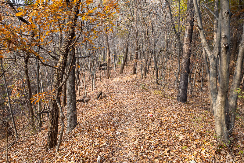
Lots and lots of leaves. But a rarely used path all to myself.
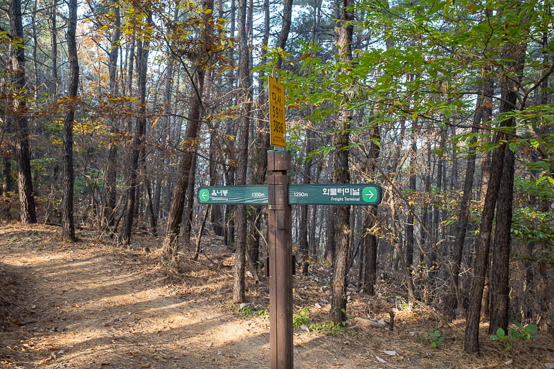
After enjoying my own special path I got to the main path. The sign was a relief. I did intend to start at the freight terminal that sign is pointing at, but I never found a way to get to it.
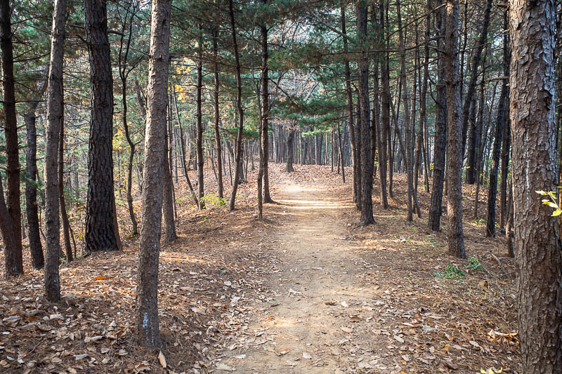
This is actually a national park, and so this main trail was very well trodden. No more chance of getting lost today, I skipped for a while now that I had regained my confidence that I was properly on my way.
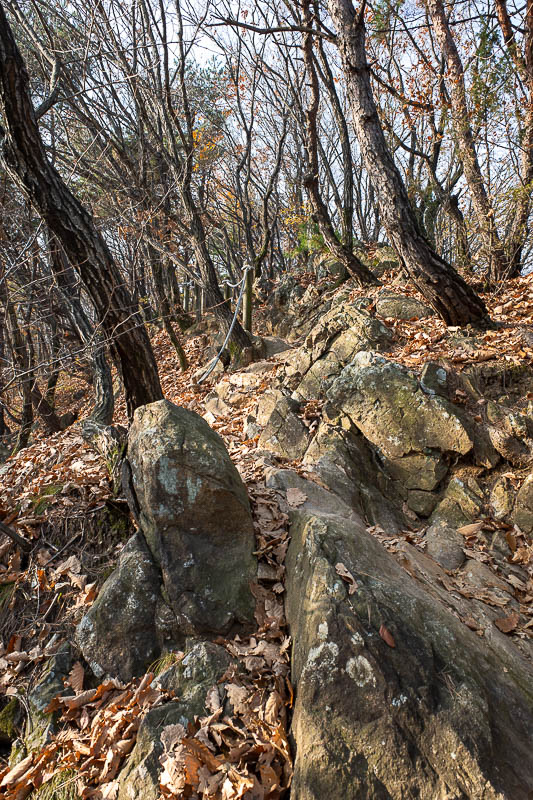
The rocky bits were few and far between. As I mentioned, I started quite far from the main entrance to the park, so it was still a proper trail rather than forest bathing path.
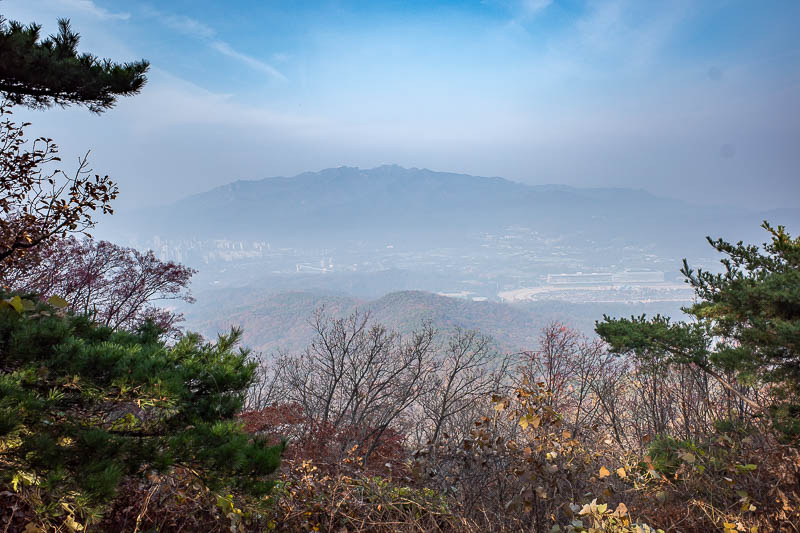
First view might be the clearest of the day. I did what I could to see through the smoke with the dehaze slider in lightroom.
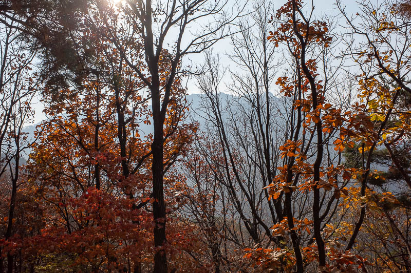
I would be going up to those peaks, and beyond.
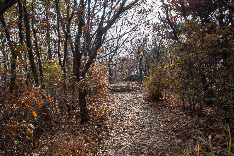
Just a random path photo because I like shooting photos into the sun.
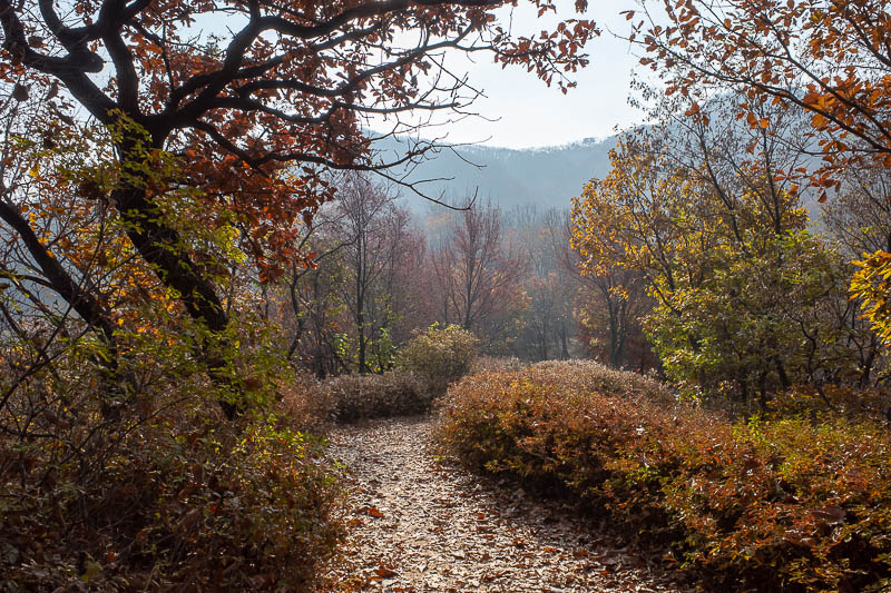
This section is very near the main gate, and it is very developed, hedges! This is the bit that I did last time I was here, I remember the hedges.
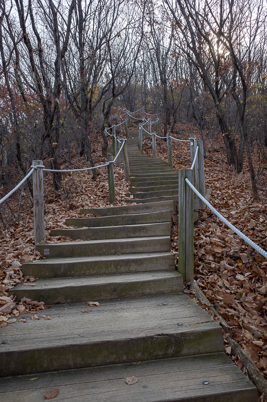
This section also has stair cases wherever there is an incline, it will soon be apparent why....
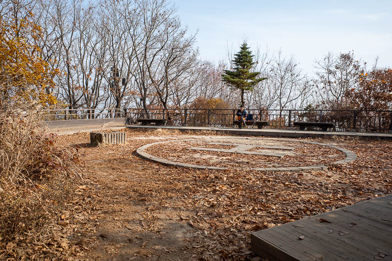
This peak has no view even if there was no smoke, I remember that from last time.
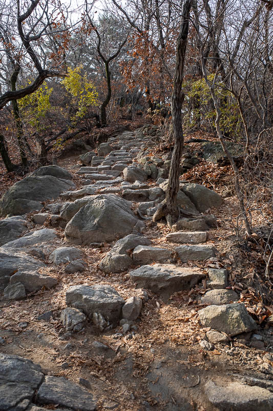
They have cut proper steps into the rocky bits.
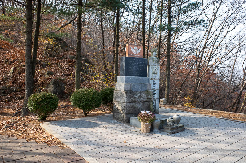
And here is why it is so well developed, this is s memorial to a paratrooper plane that crashed and killed 54 cadets here in the 1980's. It is possible that is why this area is a national park?
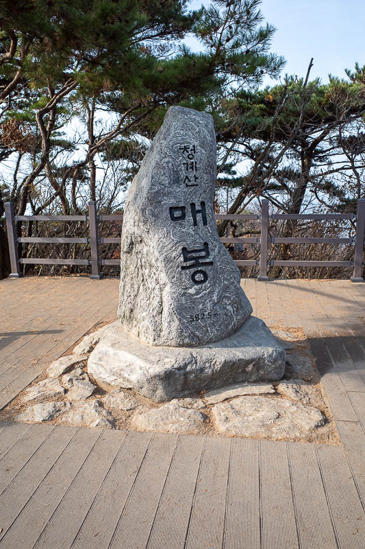
This peak also has no view.
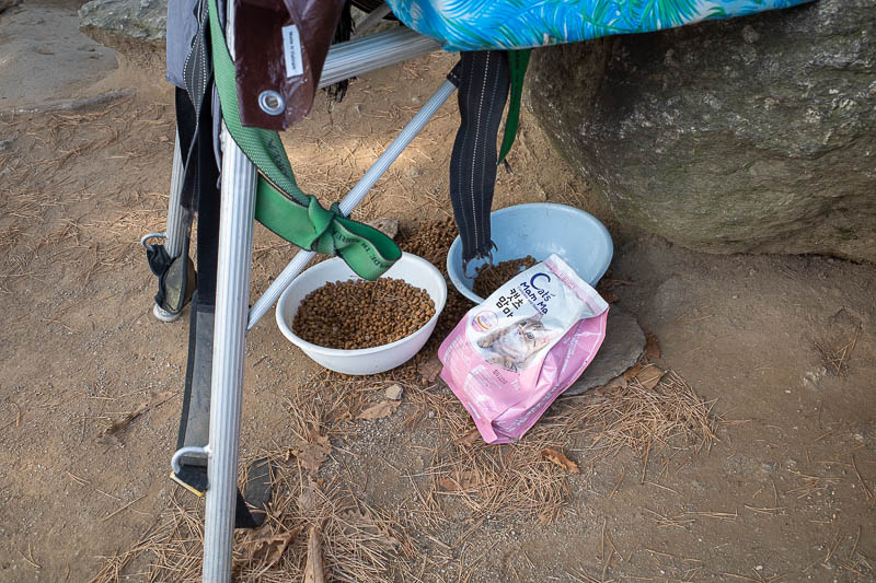
However there were cats, and someone feeds them. I could hear them but not see them. I don't know what they were complaining about, they have more food than they could ever want, and there are thousands of tiny almost flightless birds and lots of chipmunks if they get bored of regular cat food.
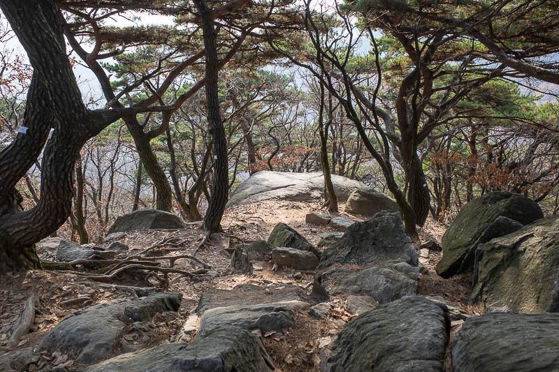
Maybe photo of the day. I had my first bottle of water here.
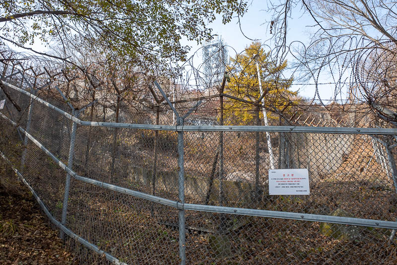
The next section and the tallest peak of the day are military installations. They do not like you taking photos, don't tell me what to not do!
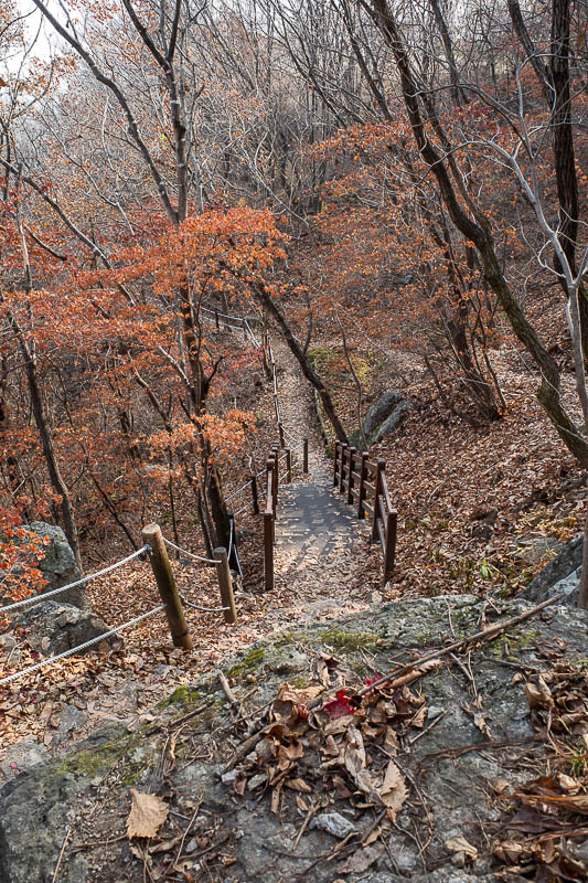
The detour around the army post is very picturesque.
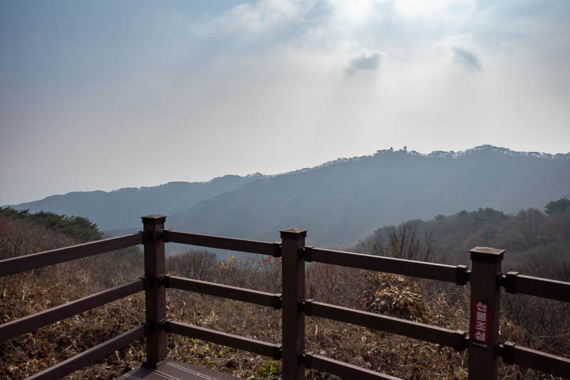
The absolute worst view of the day, which is near the highest, but most off limits point of the day.
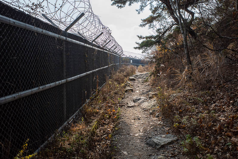
Some more army base. I took the same photo last time.
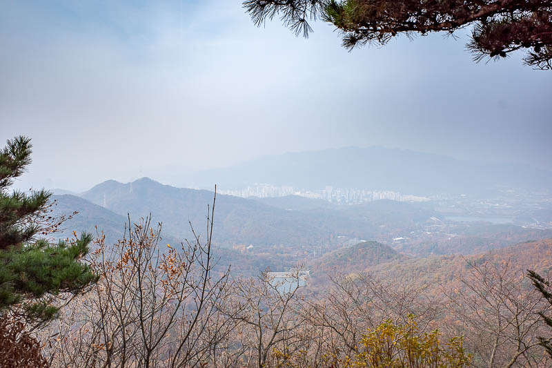
OK, now I am back to areas I did not hike last time, as I did not see this view last time. On a day without apocalyptic smoke dystopia, this would be a great view.
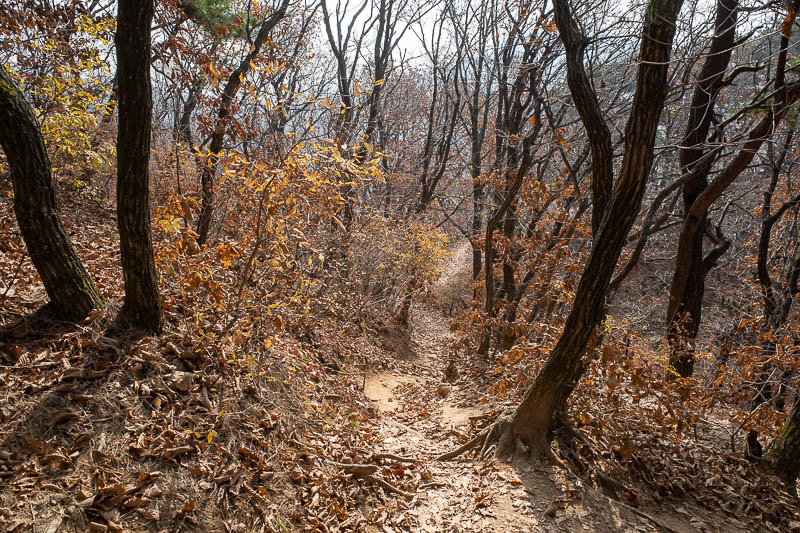
The path became less developed again, but there were quite a few people. This was a long undulating section without many big climbs, and no rocky bits that required scrambling over on all fours.
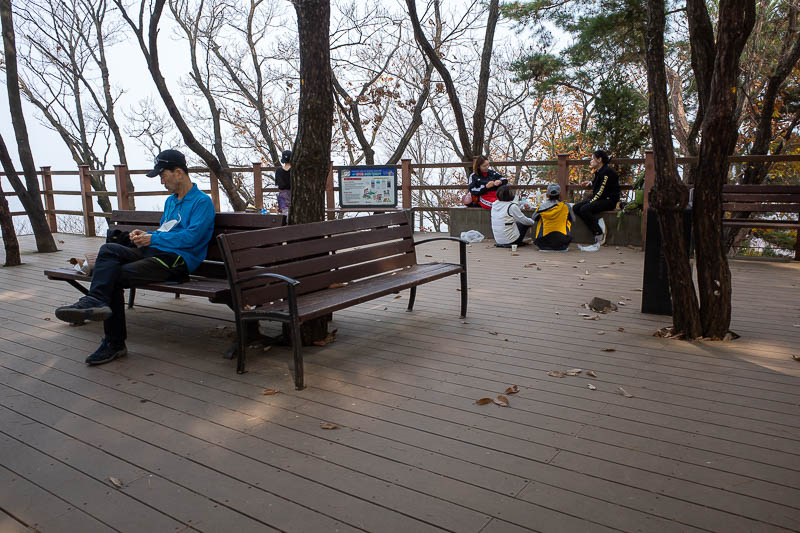
I then rejoined a more popular part of the trail, and it became developed again. Here you can see a lonely old man, and a group of housewives. These are the two types of people you see on hikes on weekdays all across Korea.
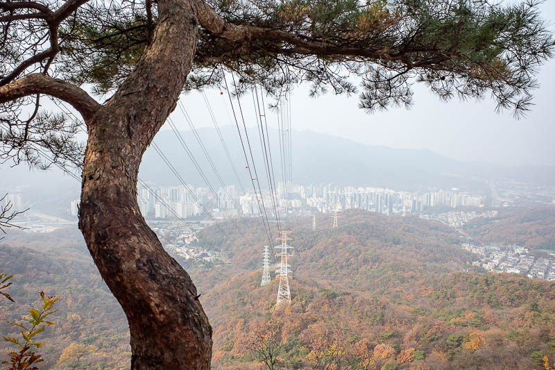
Power lines make an otherwise ruined view bearable.
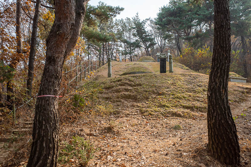
The DESCENT DOWN went past many tombs such as this one.
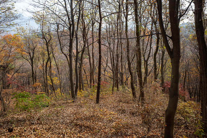
As is often the case, the lower down bits were more colourful than the mostly dead more exposed upper bits.
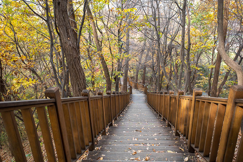
Very near the end here and it becomes a grand staircase. Just below here is the 'Seoul Grand Park' where the zoo is, and also a forest bathing area. Which despite it's name, has nothing to do with water.
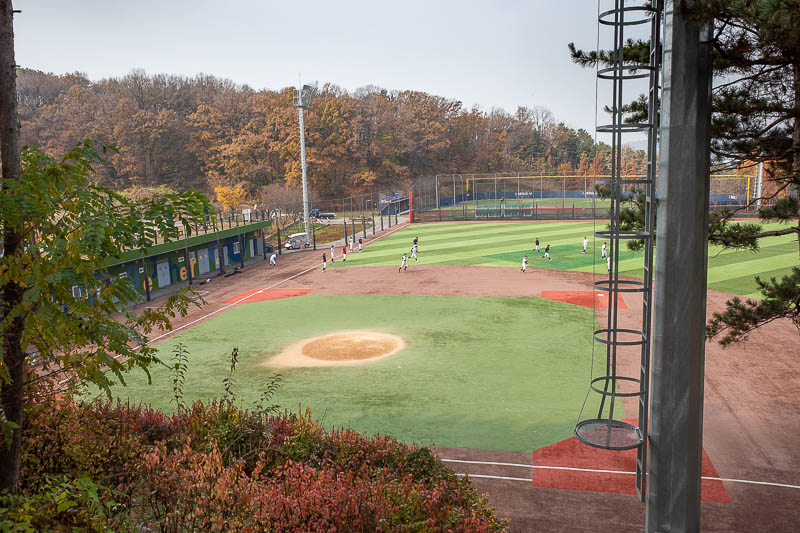
Last pic for the day, the path let out into a lot of baseball fields, this was presumably a professional team practising, they had a bus painted in team colours nearby. Perhaps one day when it is not smoky I will need to do this hike for a third time!