14 April 2026
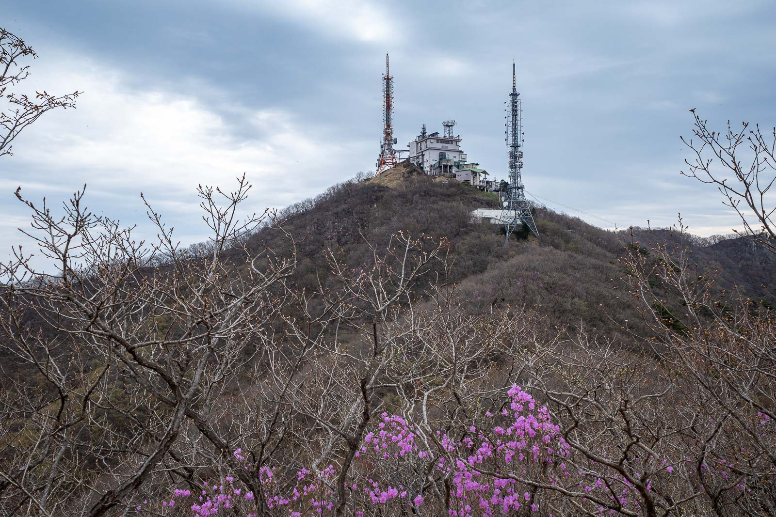
Antenna maintenance
Moaksan via Geumseonsa
Shorter hike today, but not quite as short as I expected.
Grey weather and lack of fog meant the view was not as good a a couple of days ago, but none the less, still pretty good.
Jeonju has no subways, so it is all bus to get anywhere, and today was very easy as there are 2 bus routes near my hotel that go to where I needed to be as their last stop. The stop is called Jung-Indong with both numbers 89 and 420 buses taking about 45 minutes to get there from central Jeonju.
As for the stats -
21,000 steps or there abouts
11.15km
4 hours and 11 minutes - but I did not go hard
817m vertical ascent
1,147 calories burned
Mentally prepare yourselves for antennas.
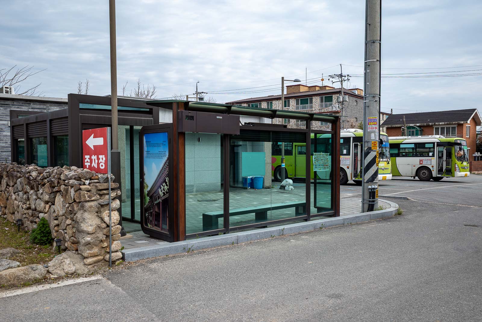
As I mentioned, stay on the bus until the last stop. There is a convenience store near by. The last stop has brand new toilets too.
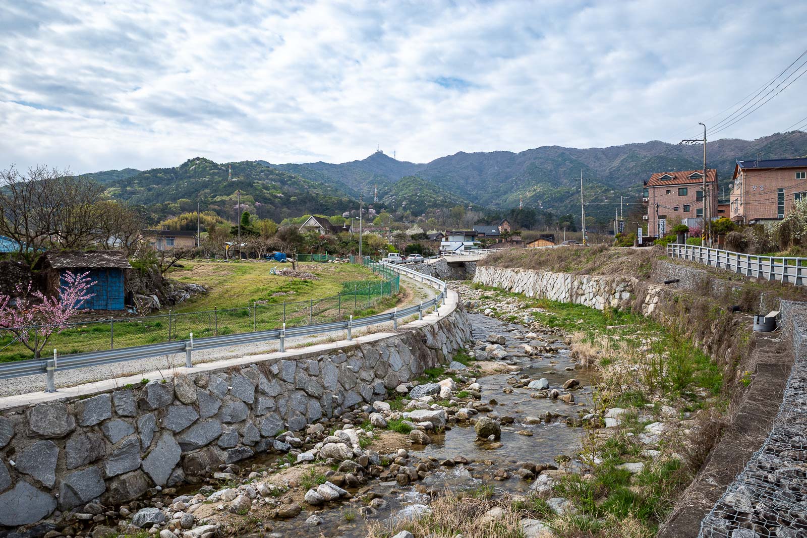
The mountains are not too far from the bus stop, they look further away from here than they are. There are a lot of glamping campgrounds in the area.
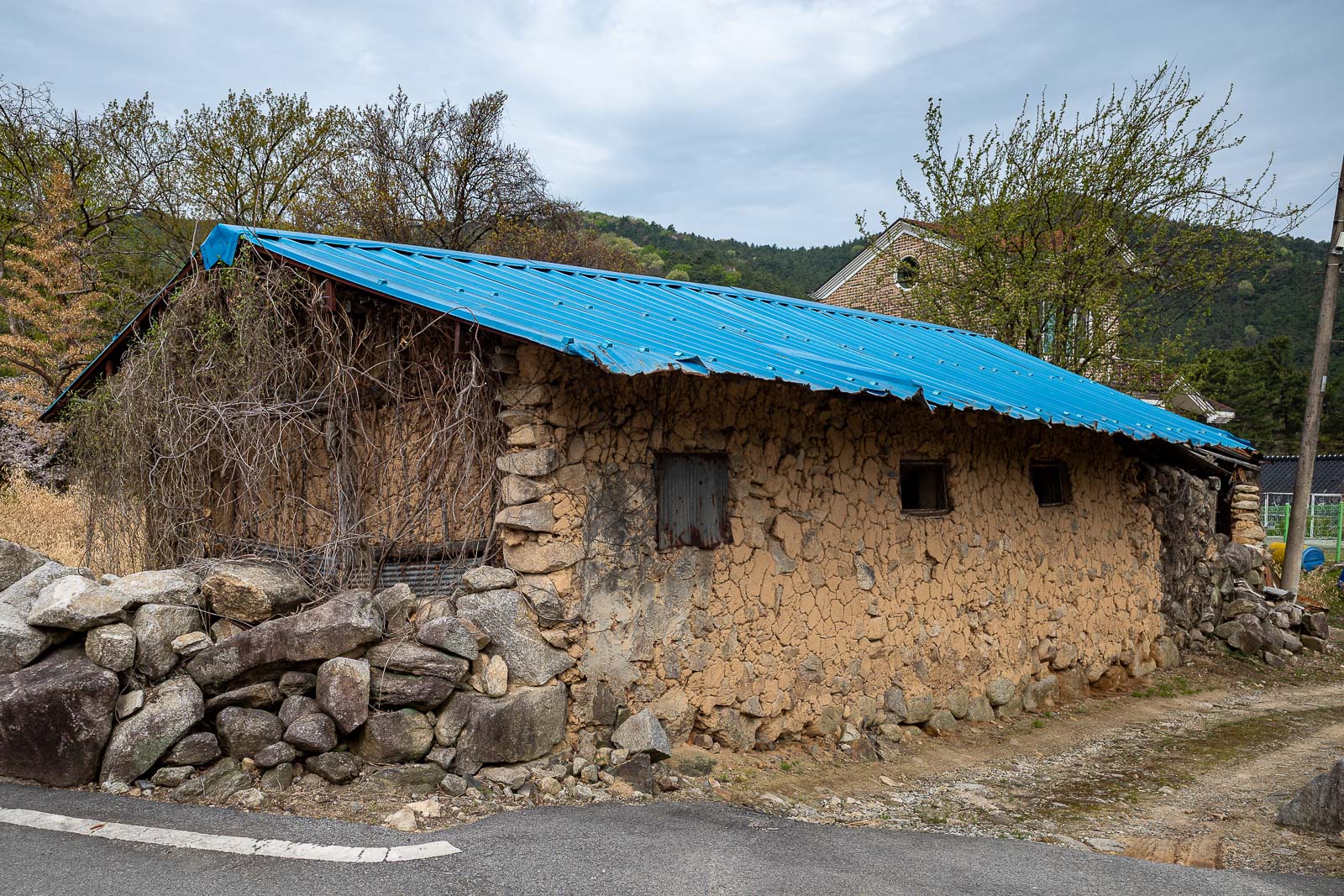
I could have just put this photo and said it is like being in a 3rd world country, but other than this one building, there were many air bnb's and cafes around.
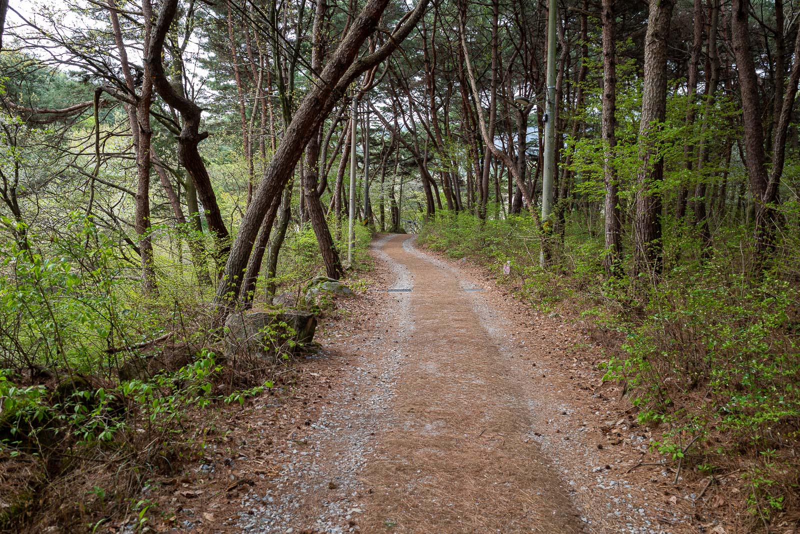
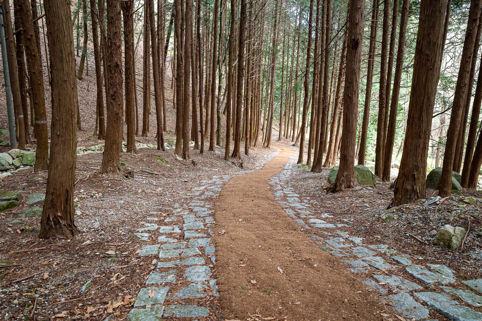
The fist third of the 'trail' is road with hessian bags up the middle, which made for quick progress. There were a few old ladies heading up to the temple.
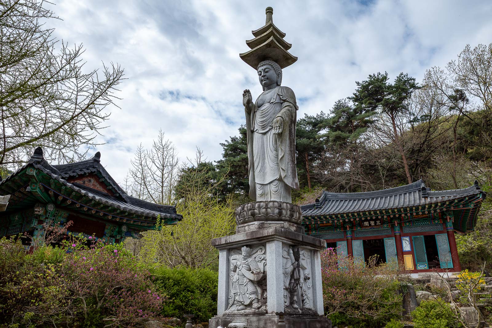
Temple number one features Buddha with a pagoda hat. Fetching.
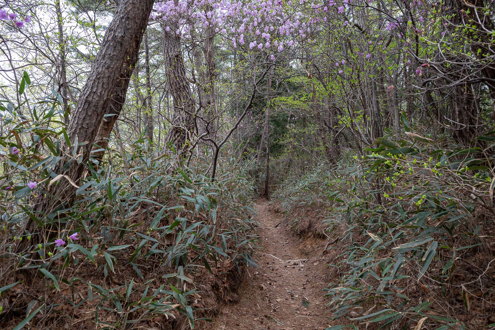
A nice wooded area, I was appreciating the shade as it was probably 23 degrees (celsius/centrigrade/metric temperature unit that is not kelvin).

Temple number 2 and Buddha has lost his hat!
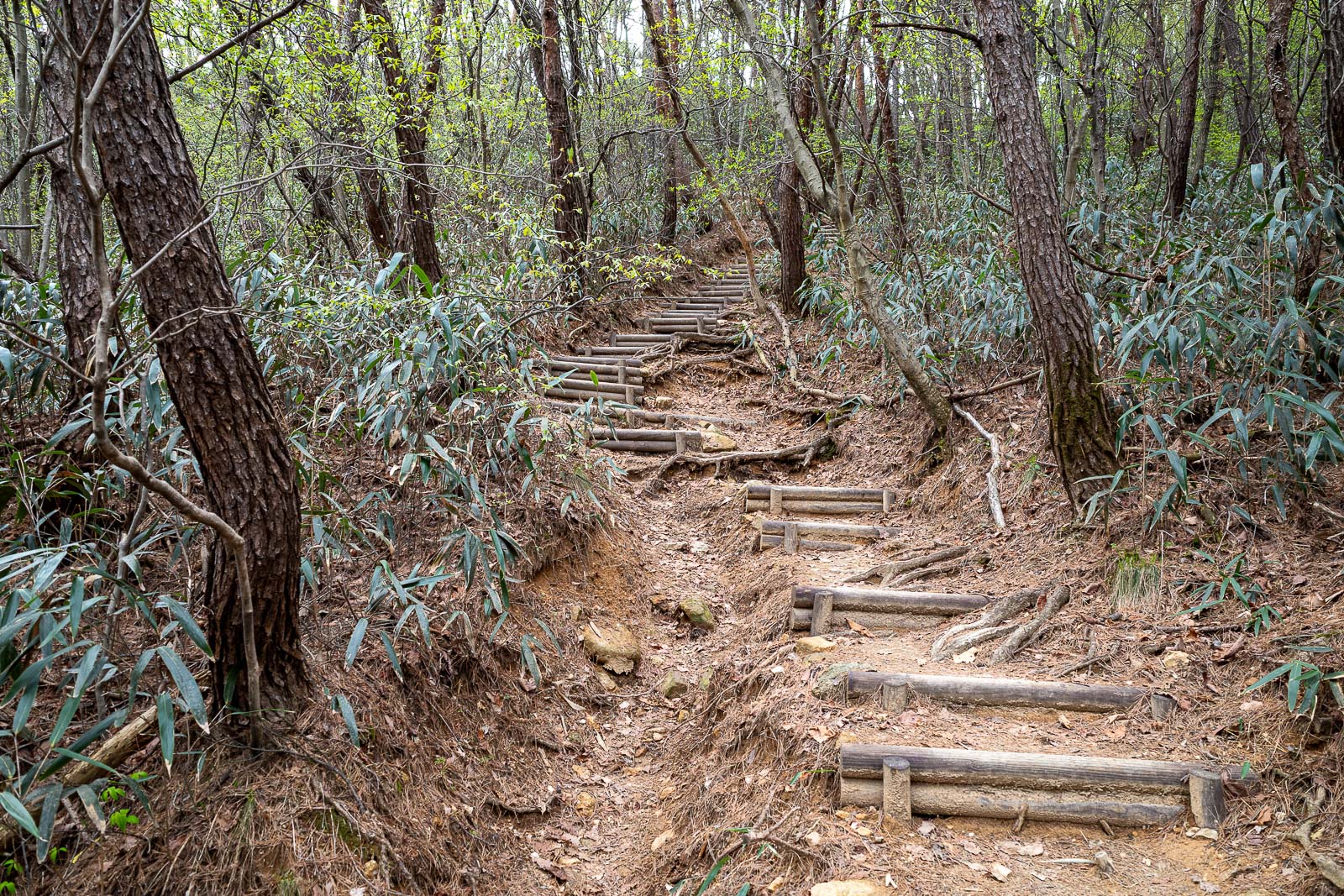
After the temple, the path got more trail like.
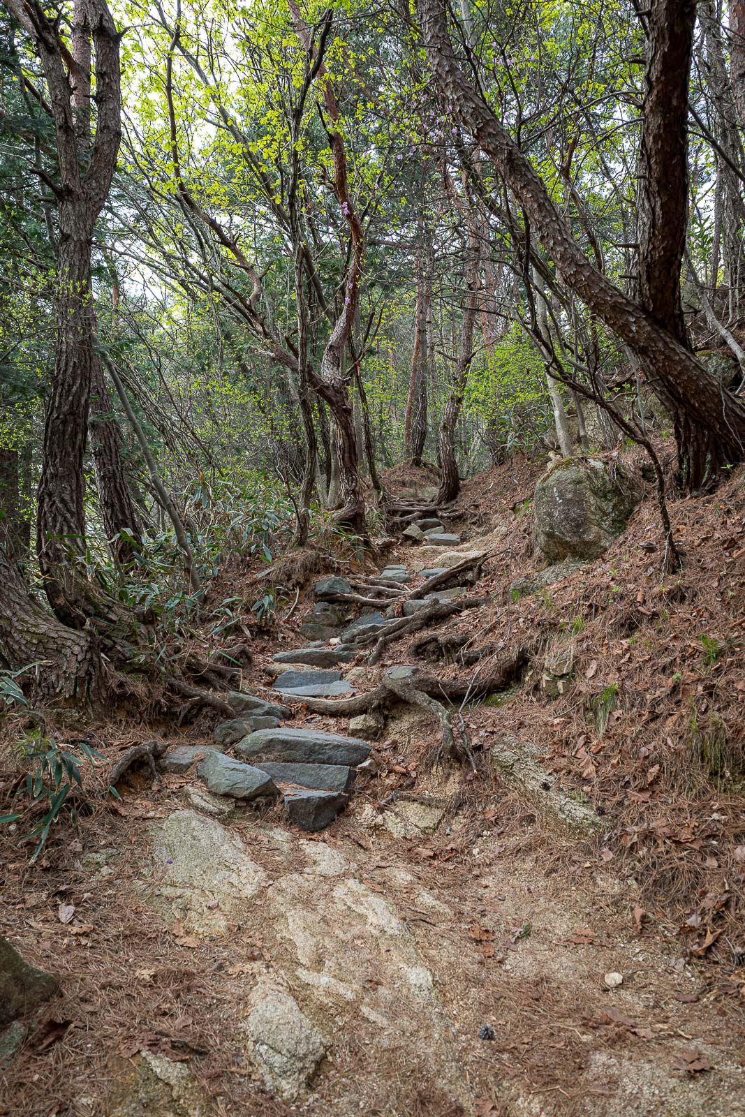
Eventually, there will be rocks.
Parts of it were quite dark.
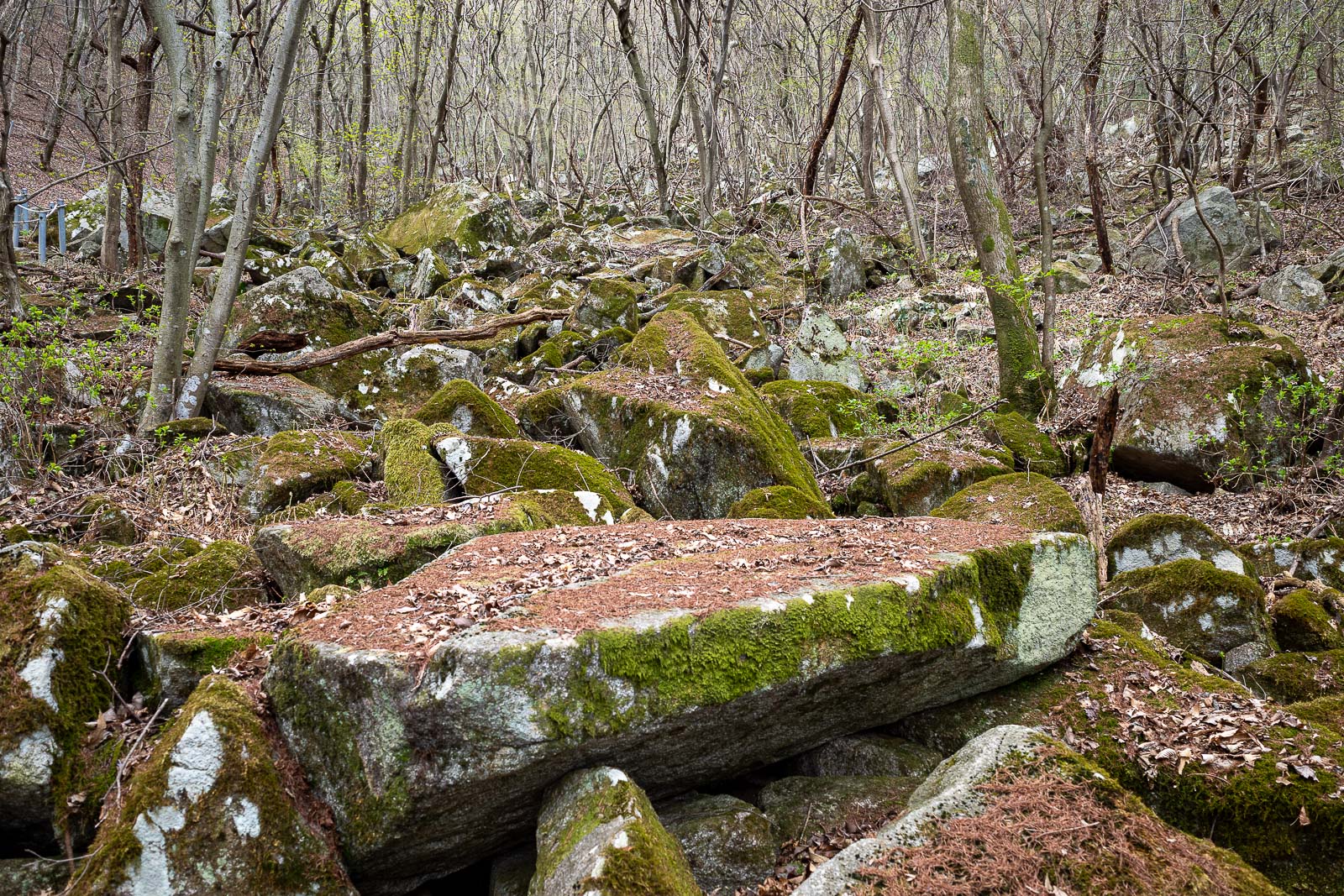
Sea of moss is always appreciated.
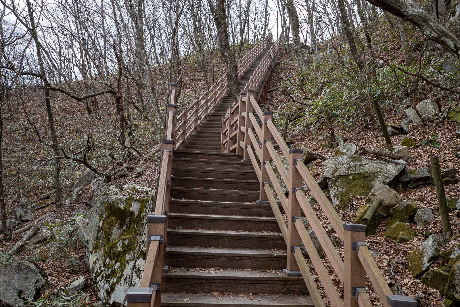
But also the odd staircase - strange colour in this photo for some reason.
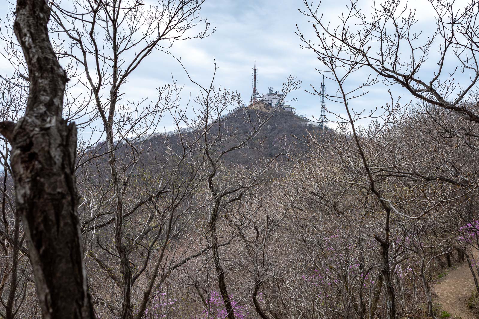
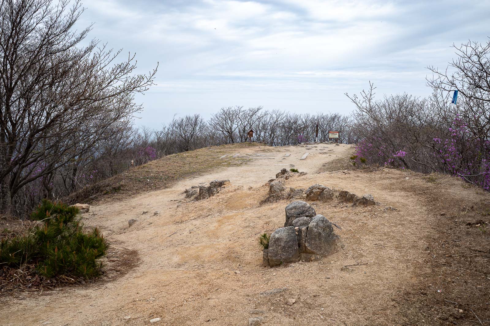
My destination came into view.
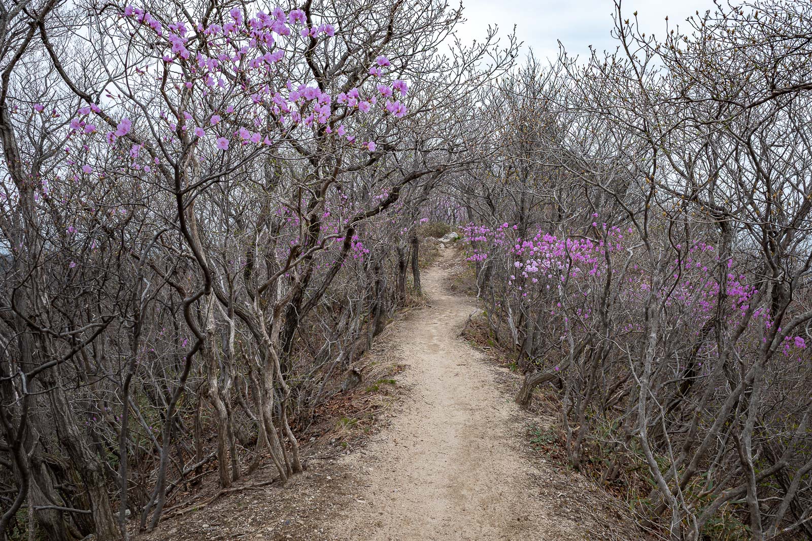
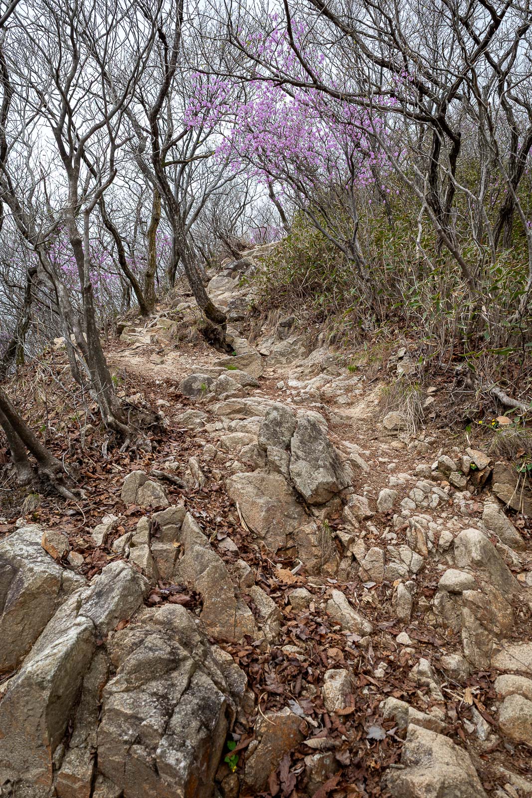
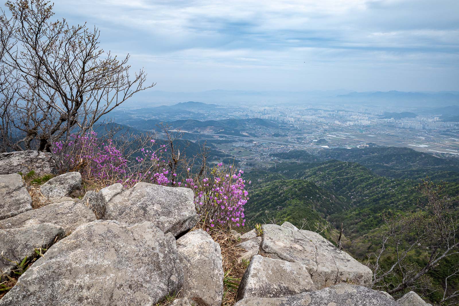
The ridge was all but dead except for some purple.
No helicopters today, but there were fighter jets above the clouds circling a lot of the time, adding to the serenity.
Getting closer.
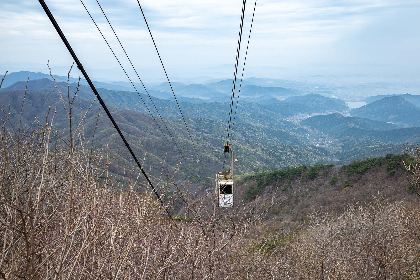
I stood taking this photo and the cable car passed what seems like 1 foot above my head. It really took me by surprise. This cable car is actually not for the public, only for the workers who fix the antennas.
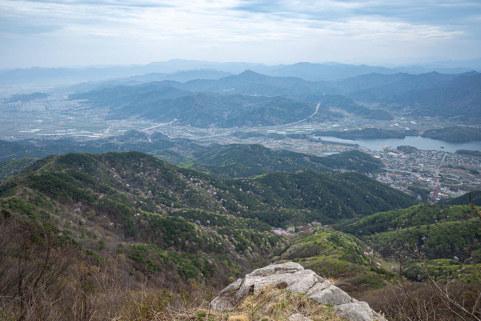
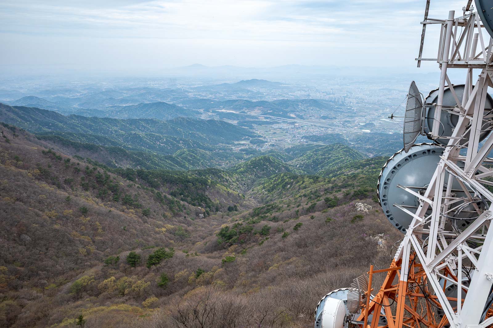
View time, Jeonju is around to the left.
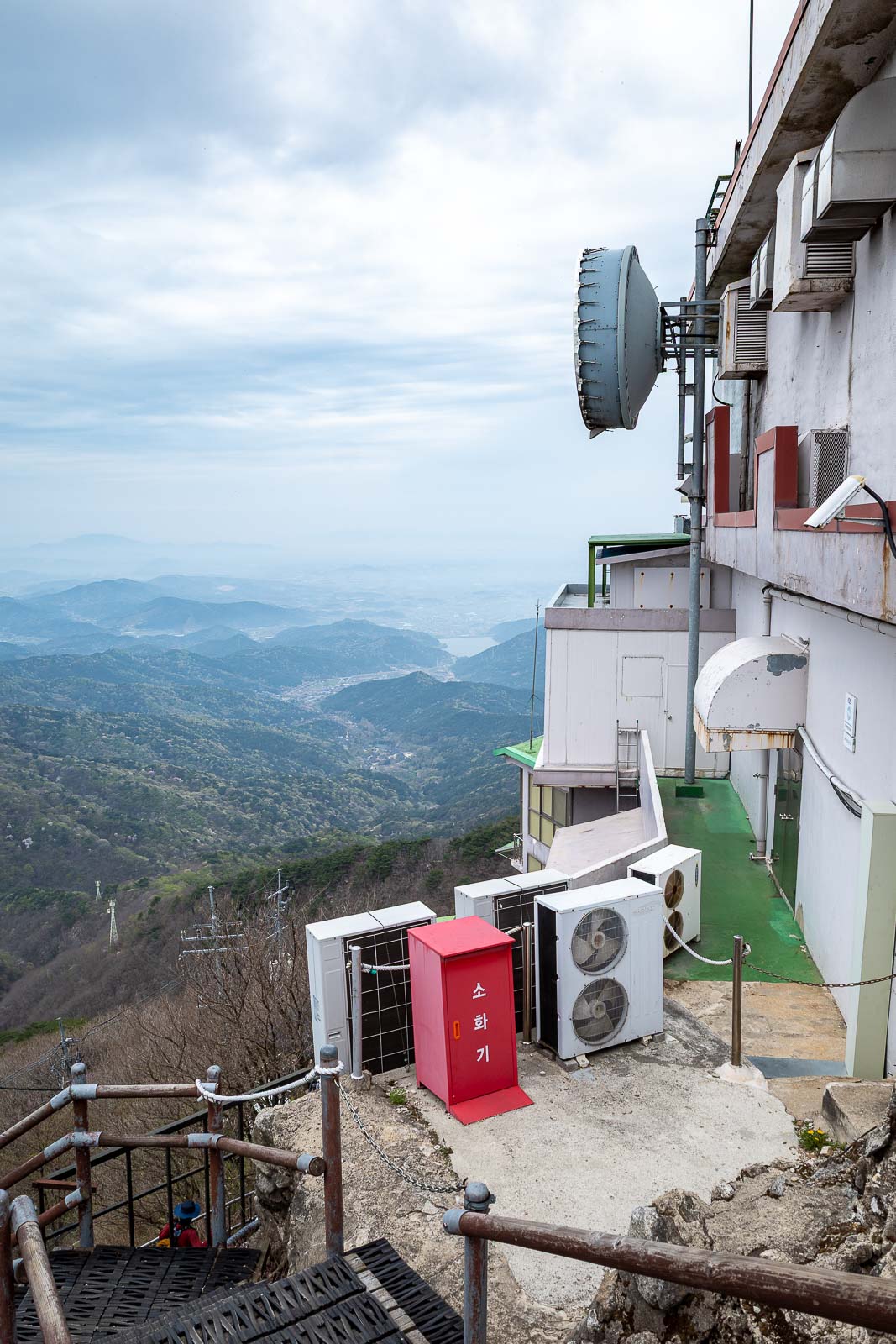
Random other direction, you are allowed to climb all over and on top of the buildings at this summit.
However, there are signs saying not to take photos, which I largely ignored. Antennas are serious business.
It is still an official summit area for hikers, you can see the view point and map in the bottom right, and where I am standing had the binoculars on a pole for people to gawk through. There are 3 ways up to this summit and some are much closer to a car park.
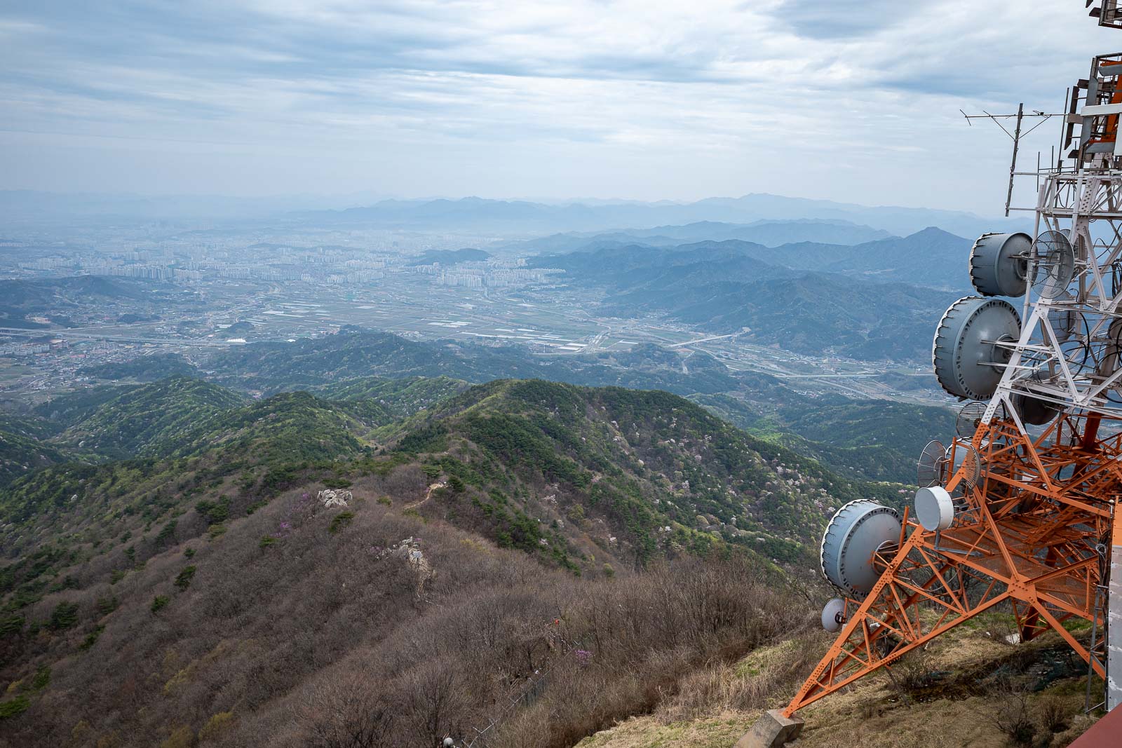
Jeonju in the distance on the left.
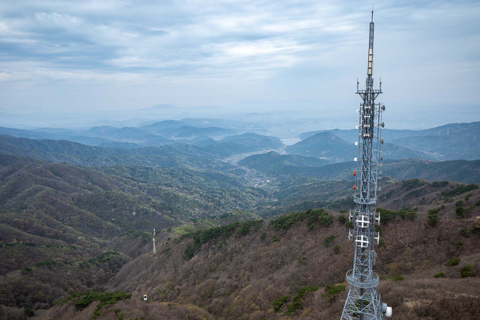
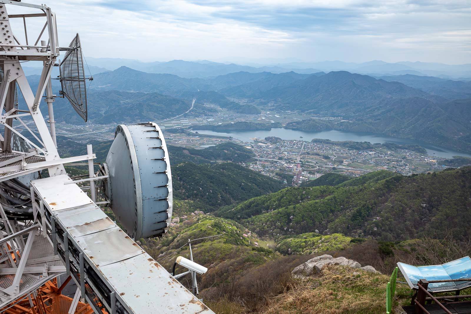
Bonus antenna.
I decided to go down the way I had come up, as it was longer, and I knew there was a bus at the bottom.
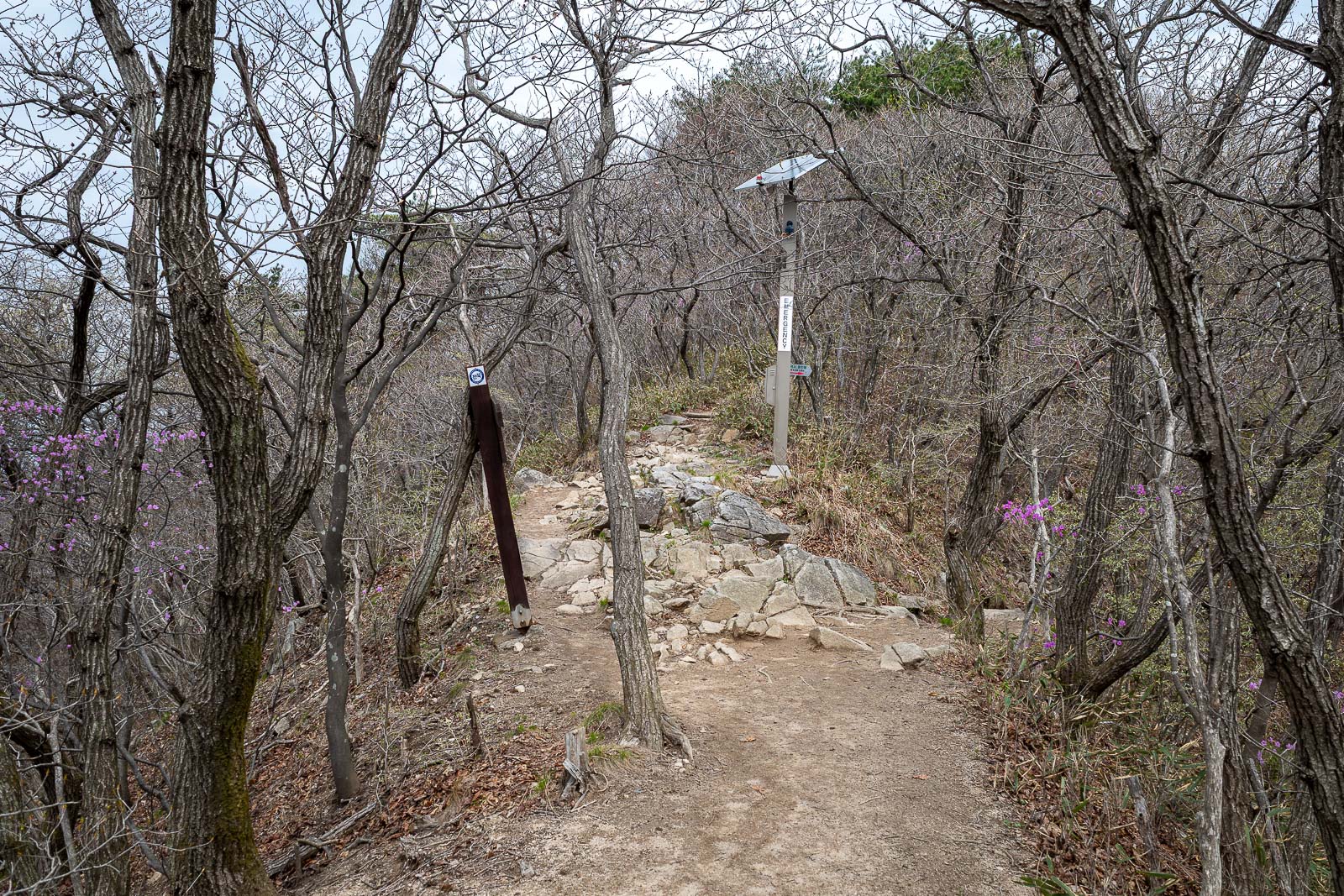
But first this junction tempted me. No other people on the trail, but still an emergency phone and defibrillator.
I followed a detour trail to an alternative summit. I was glad I did.
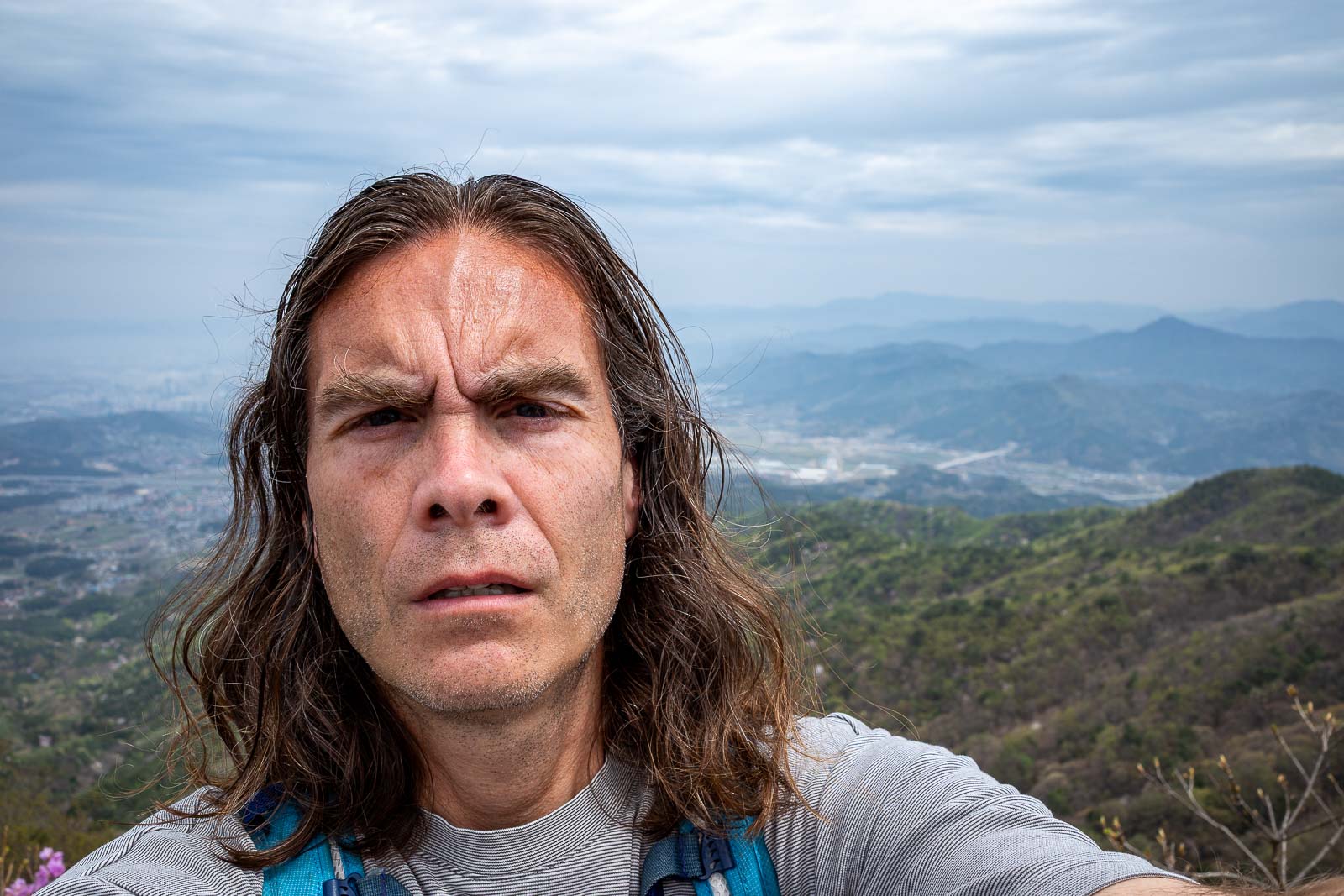
This meant it was selfie time. A pretty good one too. Wonderful hair today.
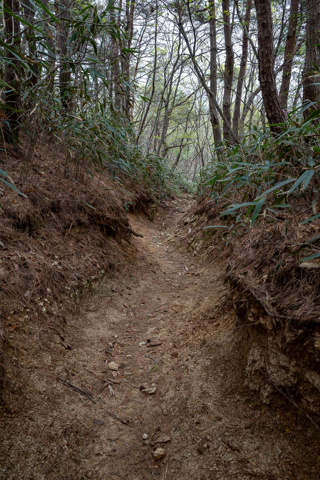
Time to head back through the dark forest.
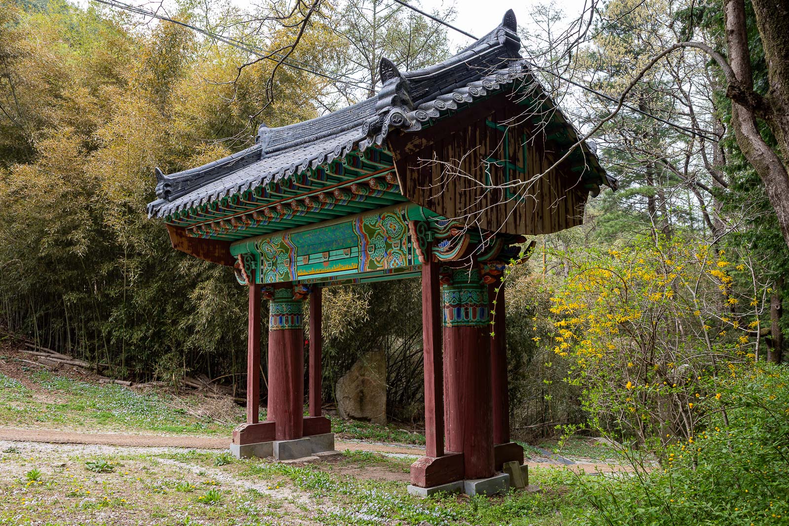
The gate to the temple area let me know I was back at the hessian path to the bus.