16 April 2026
No bus then no trail
Godeoksan from Daesong-dong
I had plans to go to a mountain called Gyeonggaksan from a bus stop at Jowol village. I stood at the bus stop and waved as rural bus 201 approached, and it did not stop. The next one was in 4 hours. So that was the end of that. I had to find a new journey, which would now need to be a hike without a hiking trail map in the app that I use (alltrails in Korea).
I settled on Godeoksan, as it was close and the bus journey had non rural options both there and back from roughly where I was standing.
Then I got off the bus, and using Naver maps, had 3 paths to choose from to head up. I chose wrong. The path I had chosen took me to private property with a no entry sign. I entered anyway, and could not find a trail. So I had to double back, and eventually, I found the real trail. Persistence, I have a lot.
Stats time -
4 hours 57 minutes - all stats include the dead end false start
1,059m vertical ascent
1,687 calories burned - 27c today
16.46km
31,500 steps
Not too many photos today, most of the trail had no view.
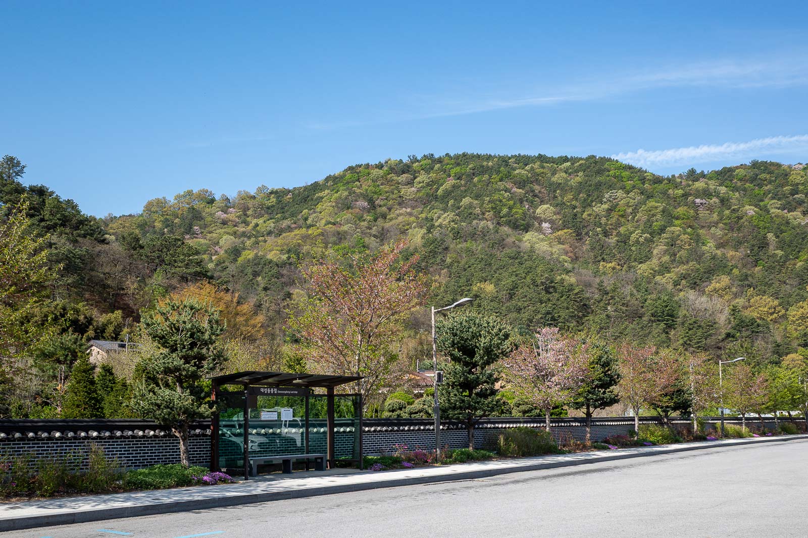
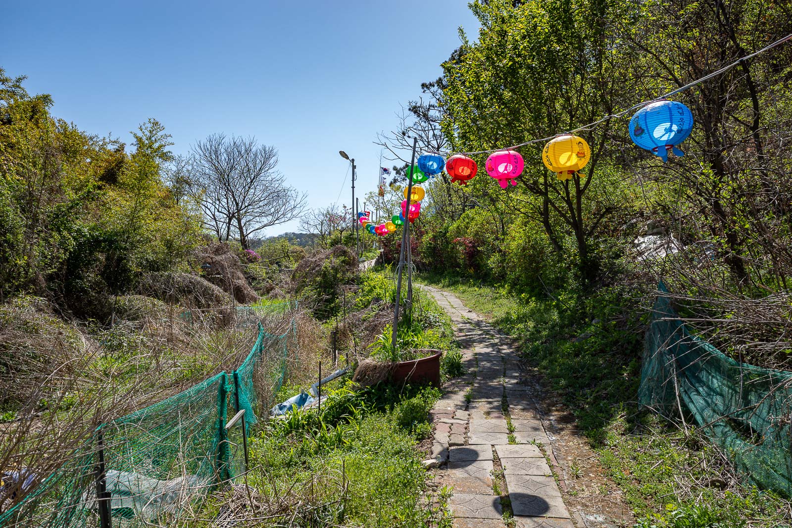
Here is my bus stop. Well not the bus stop I originally planned, my replacement bus stop, last stop on route 110.
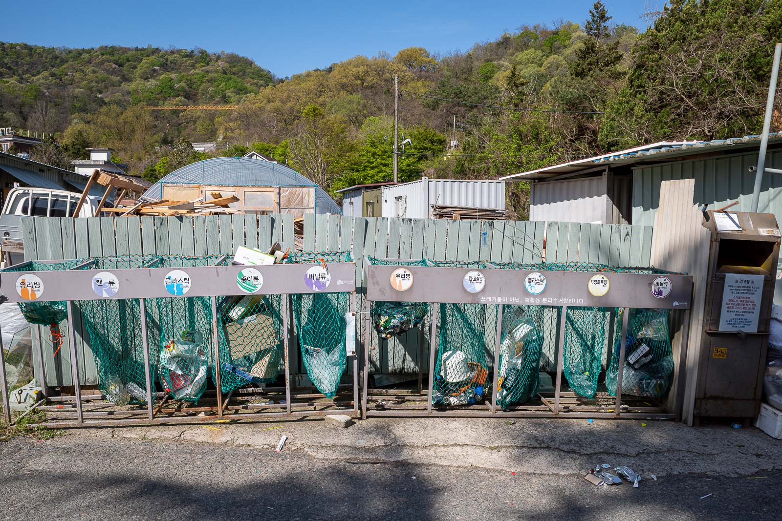
You have to separate rubbish into 10 different bins. Good luck. In Australia and the UK there is a riot currently over introducing a 3rd bin.
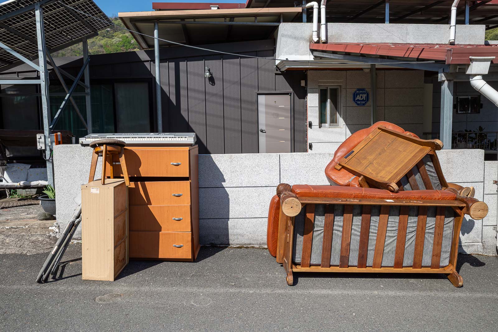
Hard waste collection, anyone want a Yamaha keyboard?
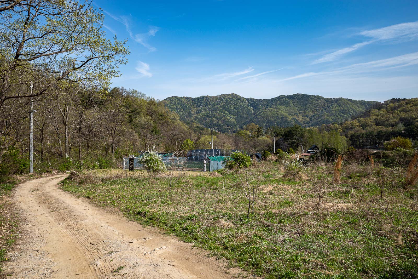
The wrong path lead me up through farm lands. Lots of dogs barking.
After doubling back at the dead end, here is where I found an actual trail. Well I still was not quite sure at this point, but if you are looking to do this hike, I guess, you need to find this area behind the bus stop.
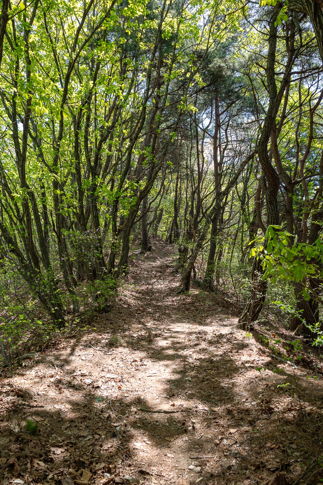
Once I got to here, I knew it was the right trail. Almost looks like Autumn too.
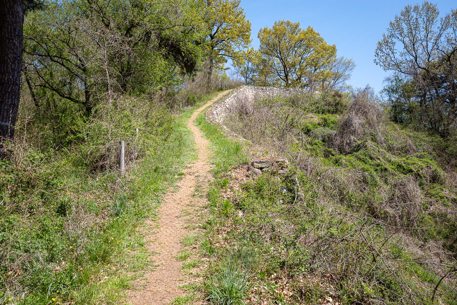
As it turns out, this is a fortress wall, and so it is indeed the right trail. I made another brief detour to walk along the wall, but the trees were all too tall so there was no view.
Now I am finally heading in the correct direction.
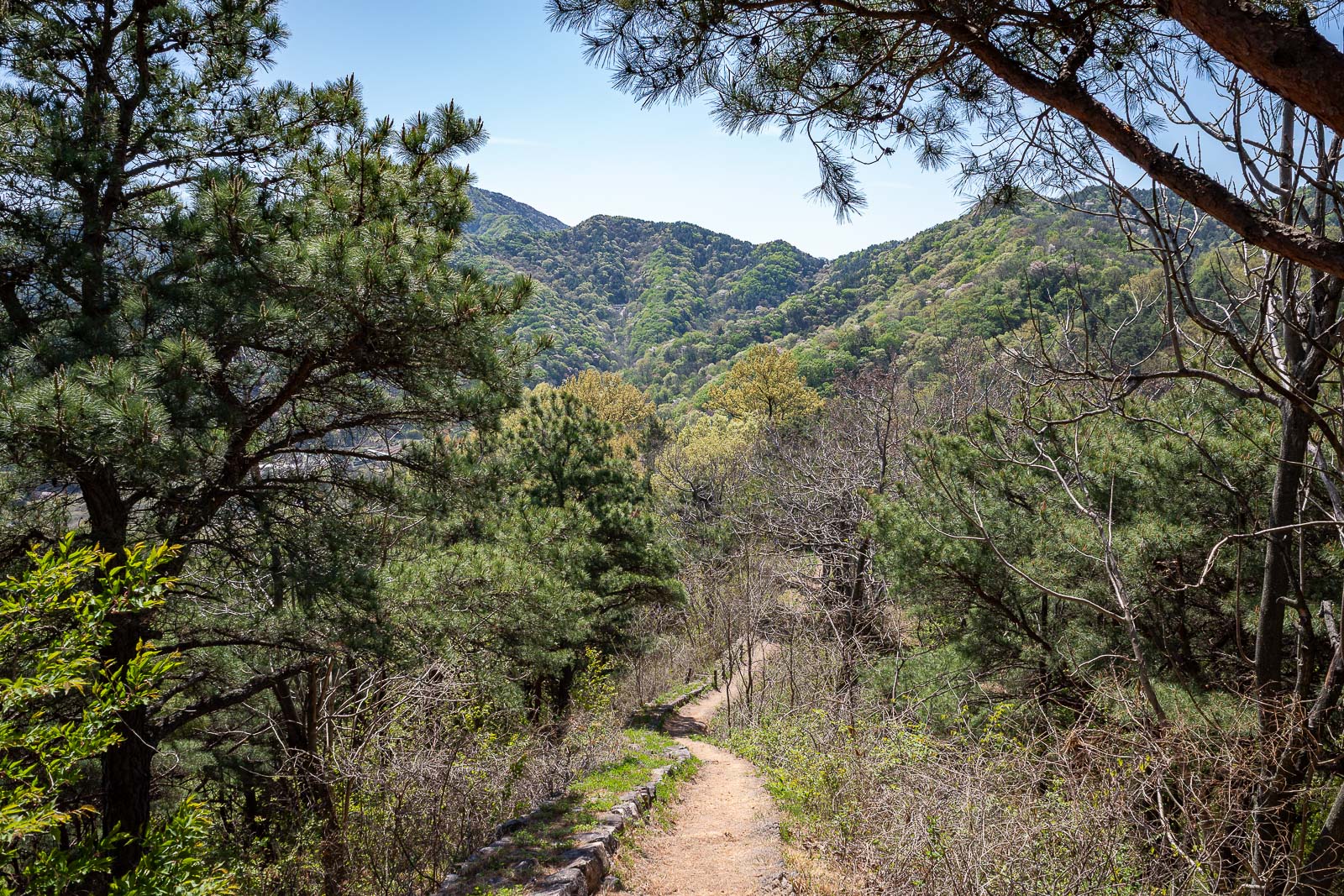
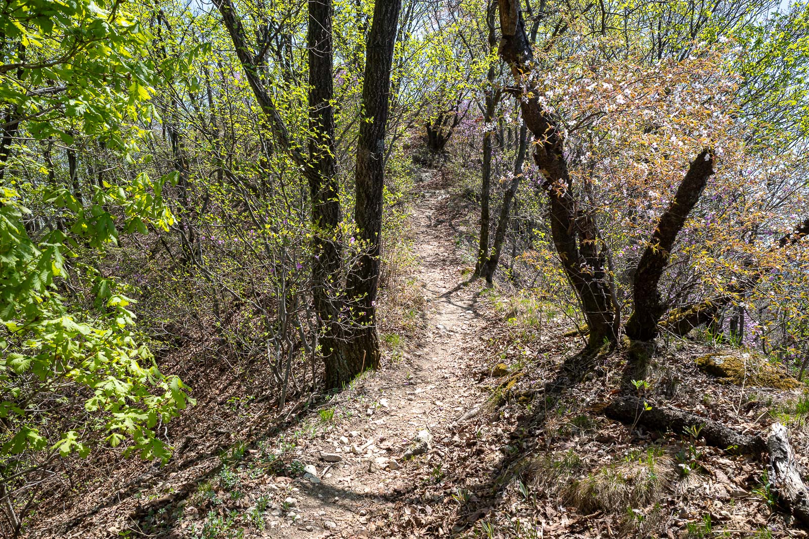
This was the trail for nearly the whole hike. Shady, but no view.
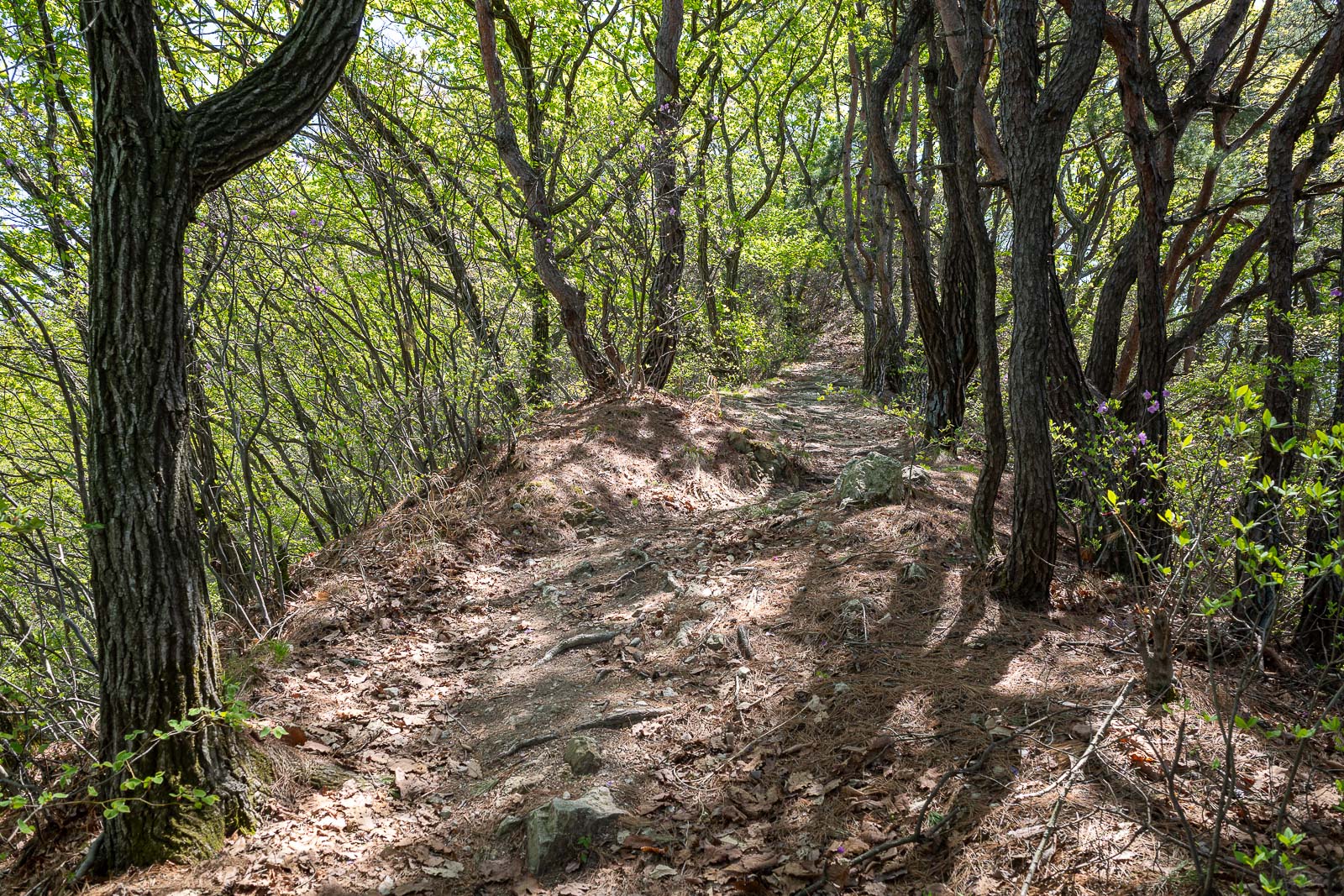
As you can see.. it looked very similar for a lot of the way. Not too rocky.
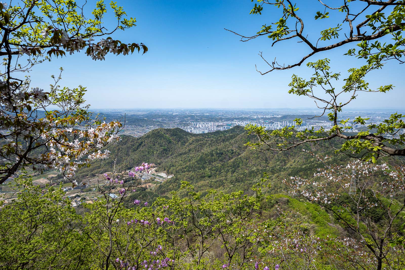
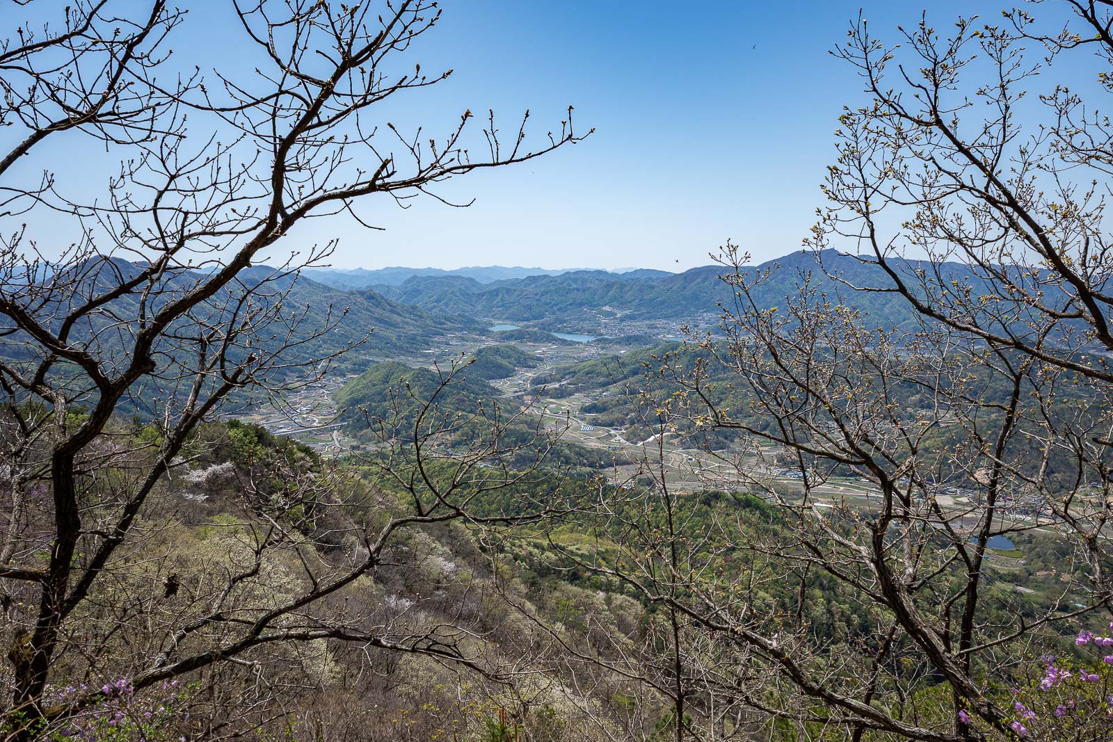
First view. Jeonju is bigger than I thought.
That ridge is the direction I had come from.
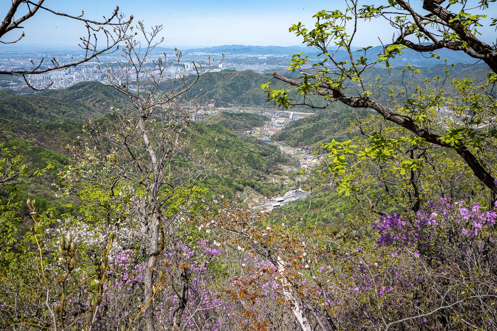
Almost at the top. Blossom time.
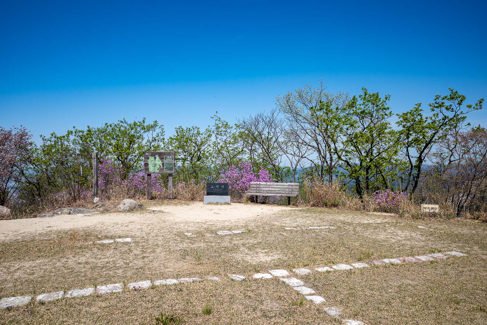
The summit has a helicopter landing area, but almost no view due to the trees.
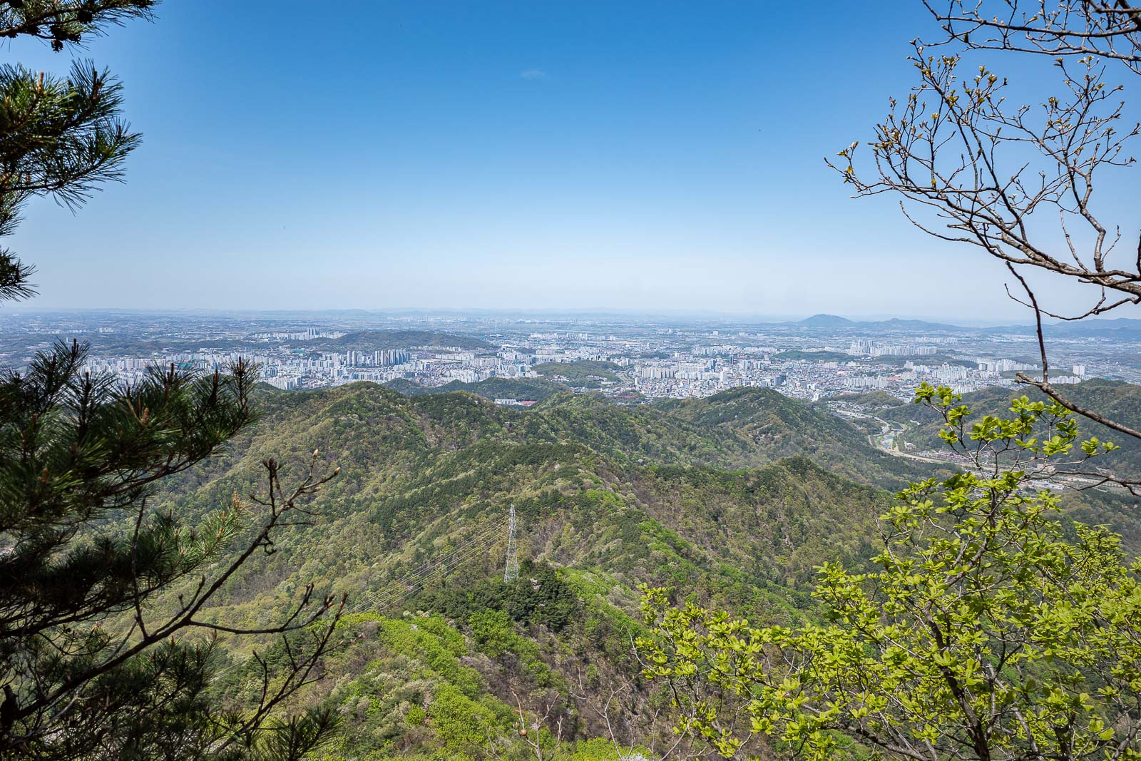
I think the peak 2/3 to the right of this photo was my original destination today, but I was going to climb it from the far side. Bus said no.
Time to head back down.
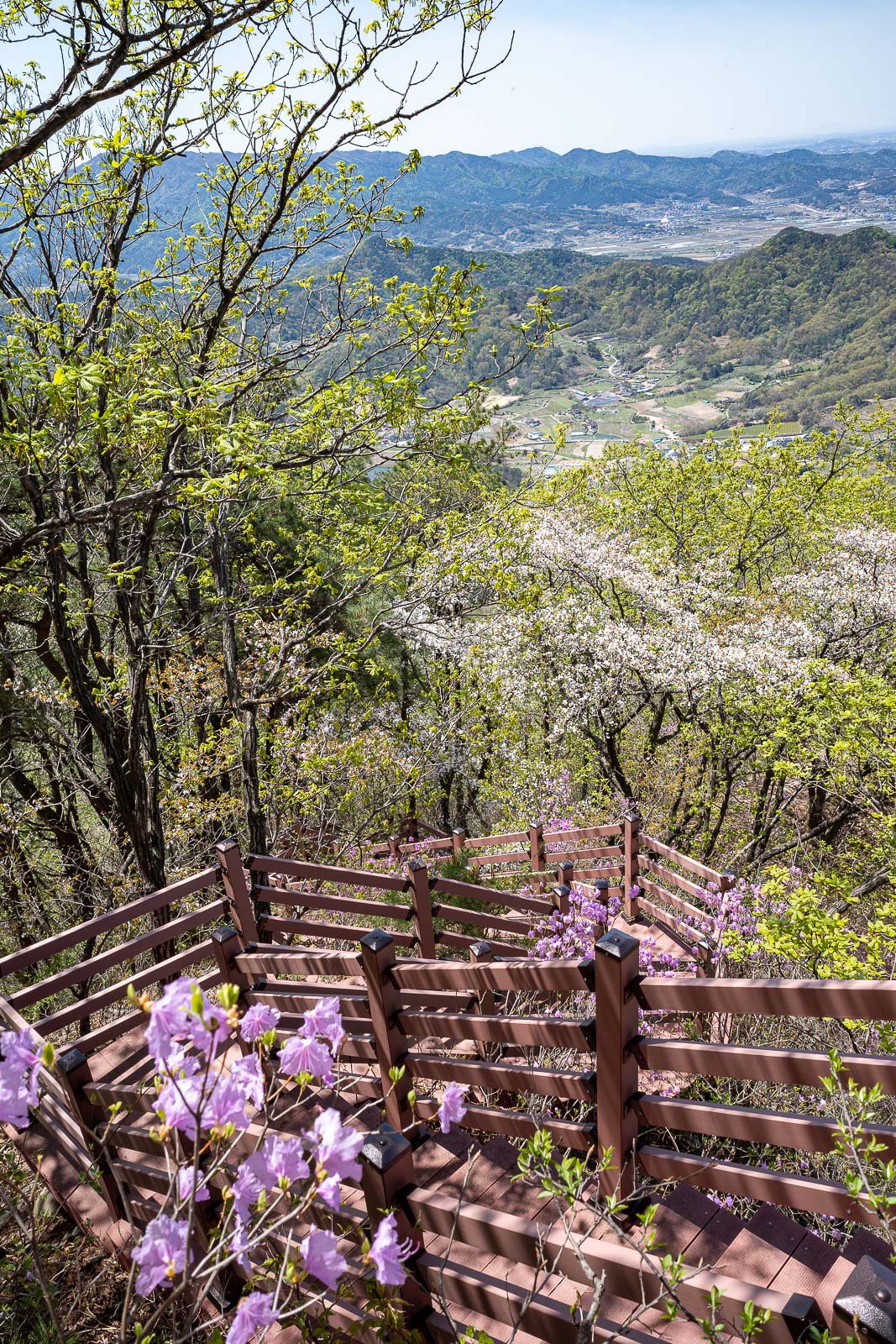
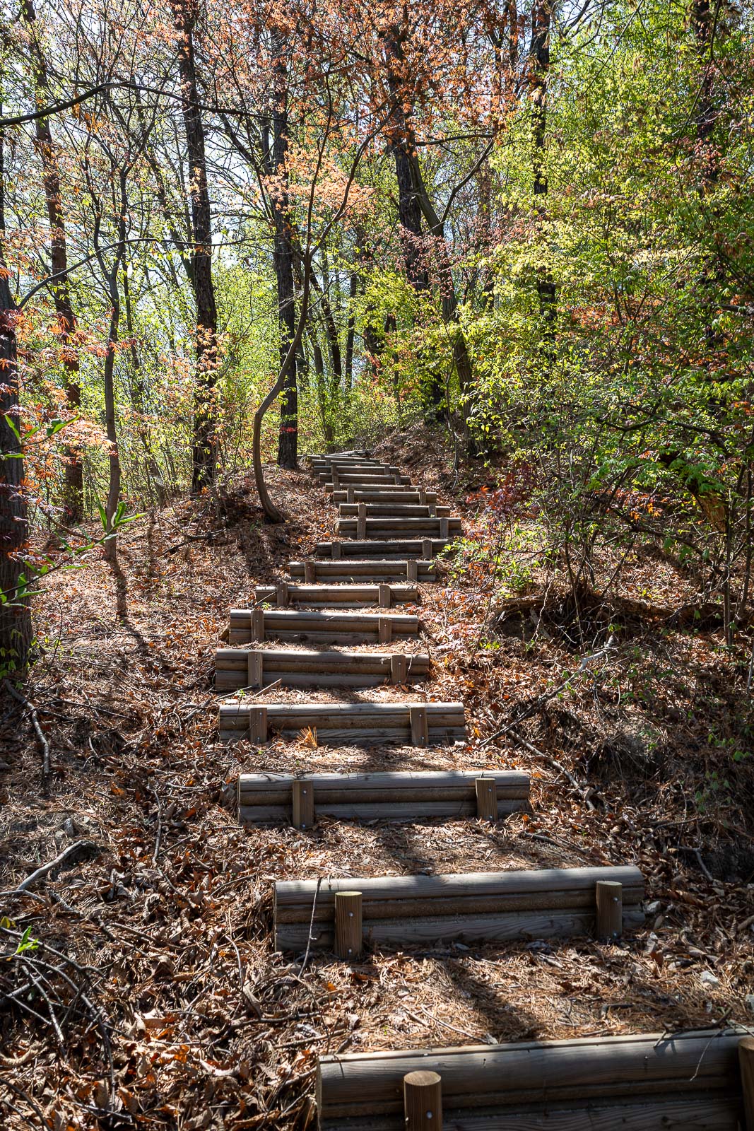
Not a lot of staircases today, this one near the summit was probably the only one.
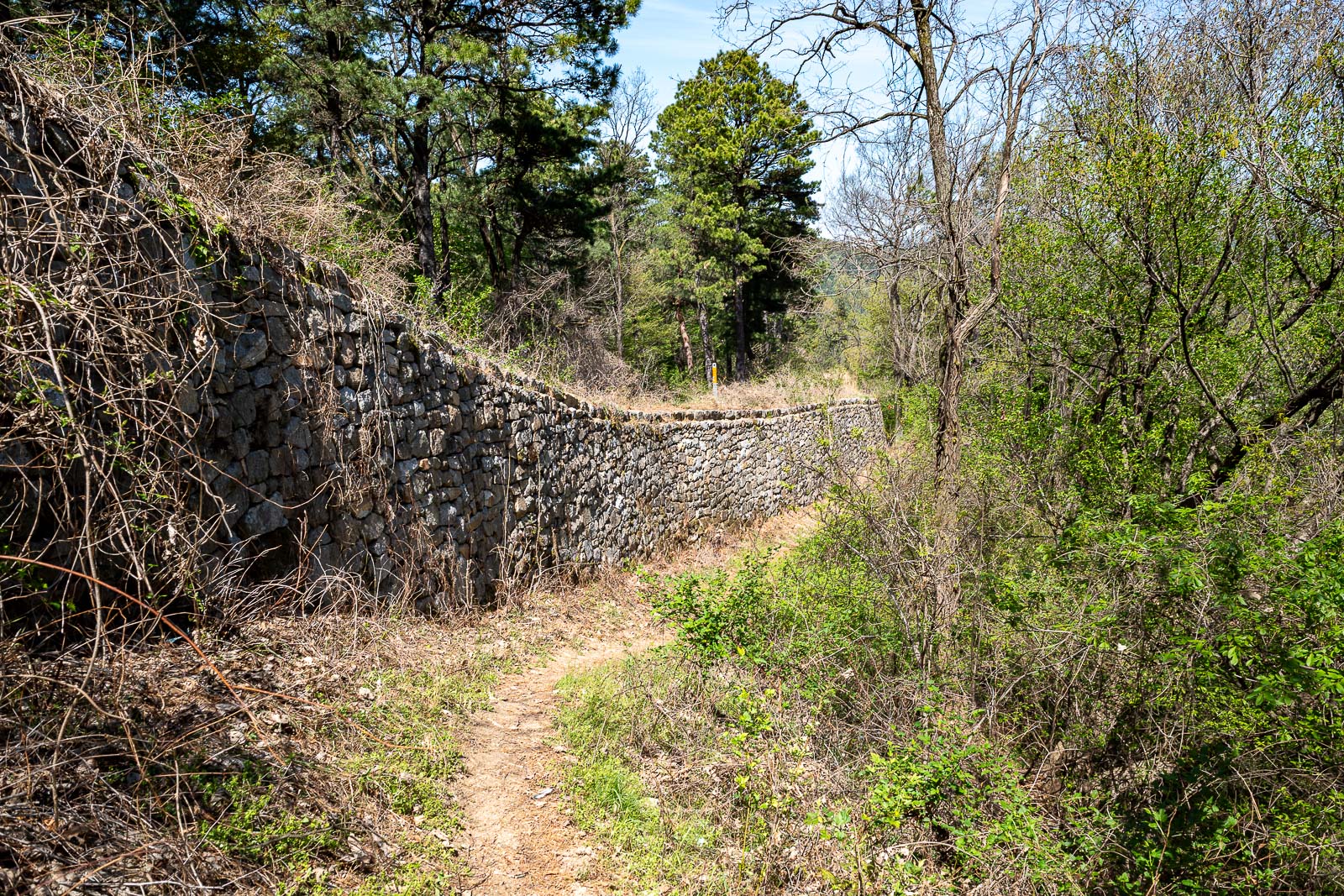
On the way down I walked along the bottom of the wall instead of along the top.
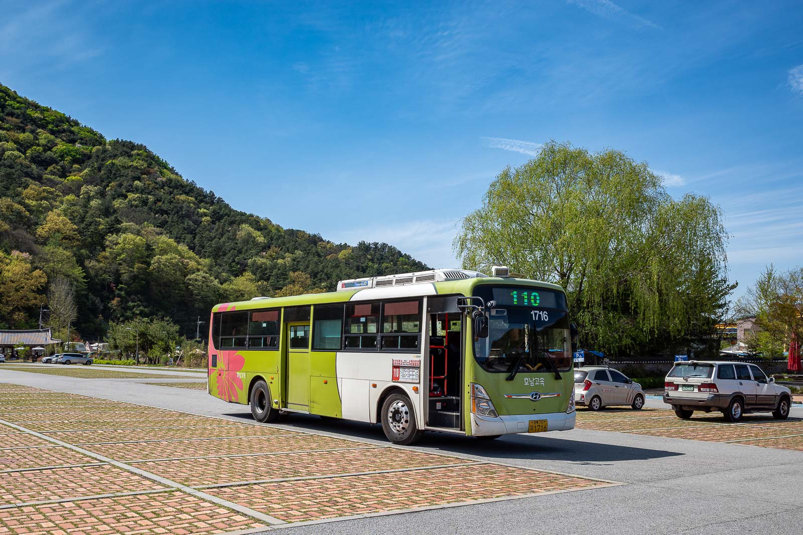
After the earlier bus debacle, I was thrilled to get back to the bus stop and find a personal electric chariot waiting for me.
So in summary, I managed once again to make a short hike into a somewhat longer one.