21 November 2022
No fog this time
All the trails of Gyeryongsan national park
I have been here before. Last time I was here, it was raining, foggy, misty, wet and there was no view at all.
I just did a re read of that day to prepare me to type this diatribe.
Getting to Gyeryongsan was really fast and easy, last time, which was pre the existence of the Naver app on my phone, I remember that extensive bus research was required. This time I click a spot on the map, press the 'to' button and it gives me about 10 options for how to get to the location. It took 33 minutes including the subway and change to a bus.
The view from the bus window on a freeway overpass with the dawn sun was great, but I was standing up on the bus so no photo from a moving bus.
Once I got off, I remembered I was exactly where I got off last time, and only then did I plan which trails to take. What I had forgotten is the main trail starts behind the paid area of a shrine, so I had to pay to go hiking, $3, which is expensive for a shrine! Last time I started on a different trail to avoid that cost. Also this is the only paid shrine I know of in Korea?
Before too long I was at the top, it was very steep, a 1 in 3 incline for a lot of it.
Since it was still early, I re-planned my route to go further into the mountains, double back a bit, and then see if I still wanted more. I did! So then I went on a looping course back past where I started, which was very technical and took a really long time.
All up today's effort was 6.5 hours, 29,000 steps, 19km, which is a pretty slow pace that reflects the technical elements on the way back requiring plenty of dainty footwork. There was almost 2000m of climbing which is the most of any hike on this trip.
Too many view photos, many redundant, but I liked the view.
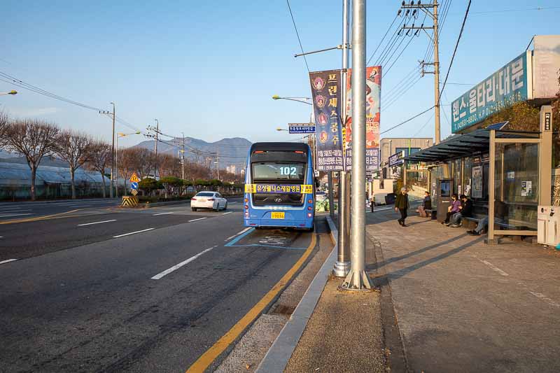
I changed from the subway to the bus at the National Cemetery station. Which appears to be on the edge of town.
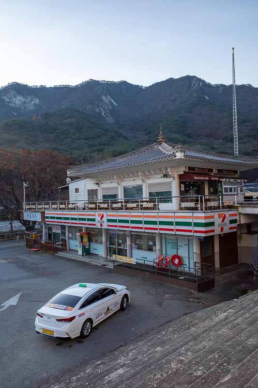
Stay on the bus until the end, and then go and buy water and muesli bars from the conveniently located 7-eleven. I was having flashbacks to my last visit.
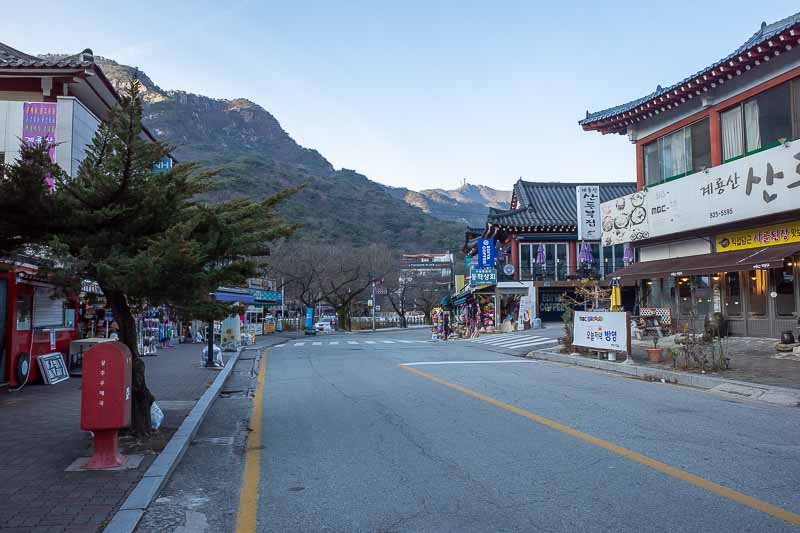
There are a huge number of shops and a lot of hotels and what they call pensions which I think is some kind of time share arrangement.
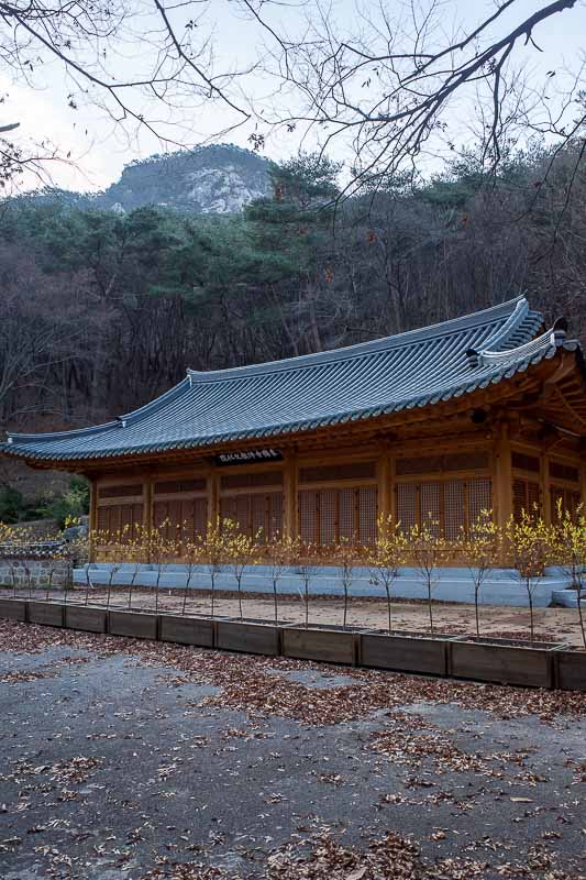
I suspect this was a cafe. It was just before the gate to the paid area of the shrine.
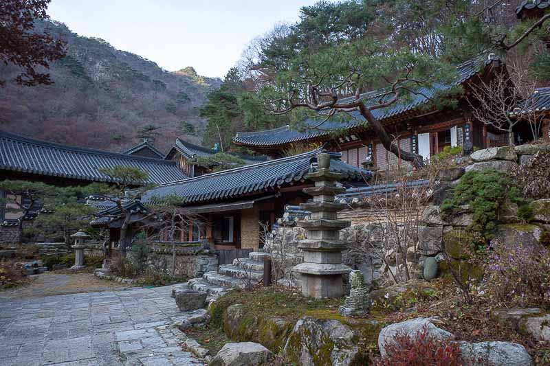
Actually I think it was a hermitage not a shrine or a temple. There it is in any case.
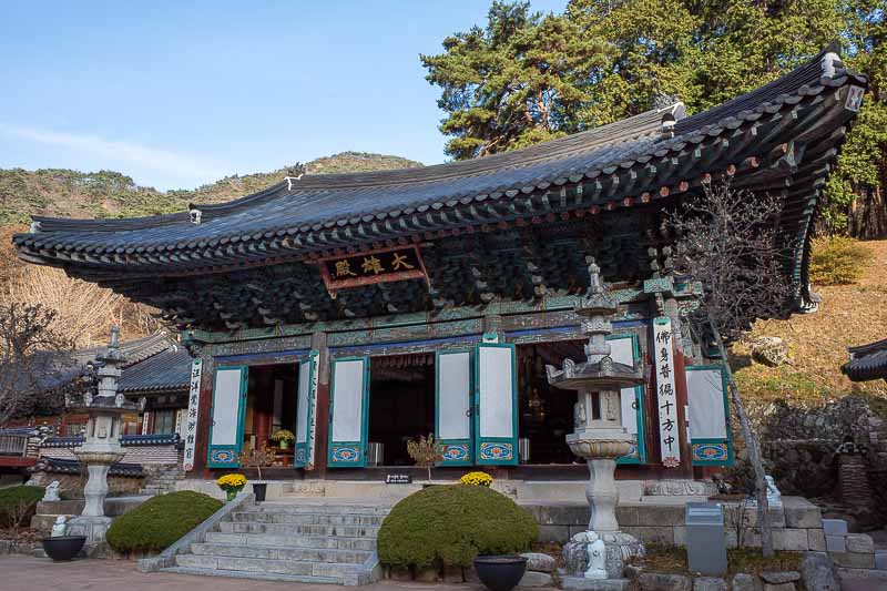
A bit more. The sun was still coming up over the peaks. Cold in the shade.
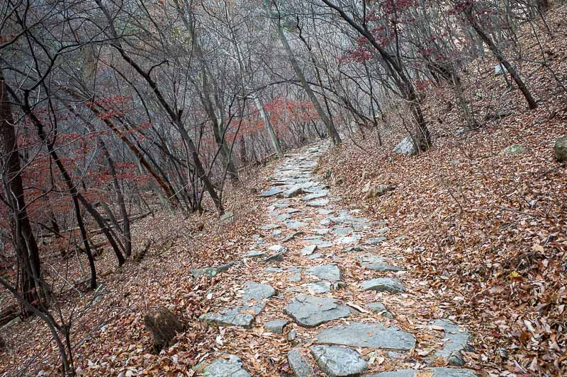
The early on path was very well formed.
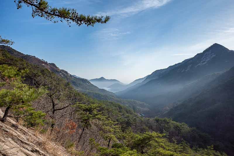
First view of the day is a very good view.
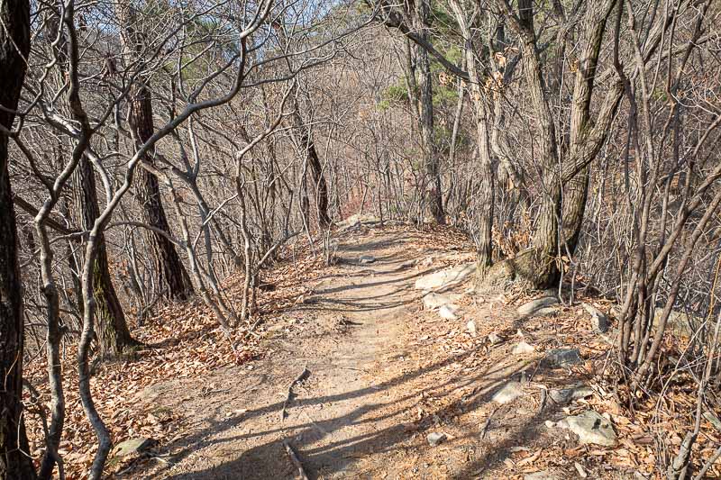
The path became the familiar dead and brown, but at this point not too leafy.
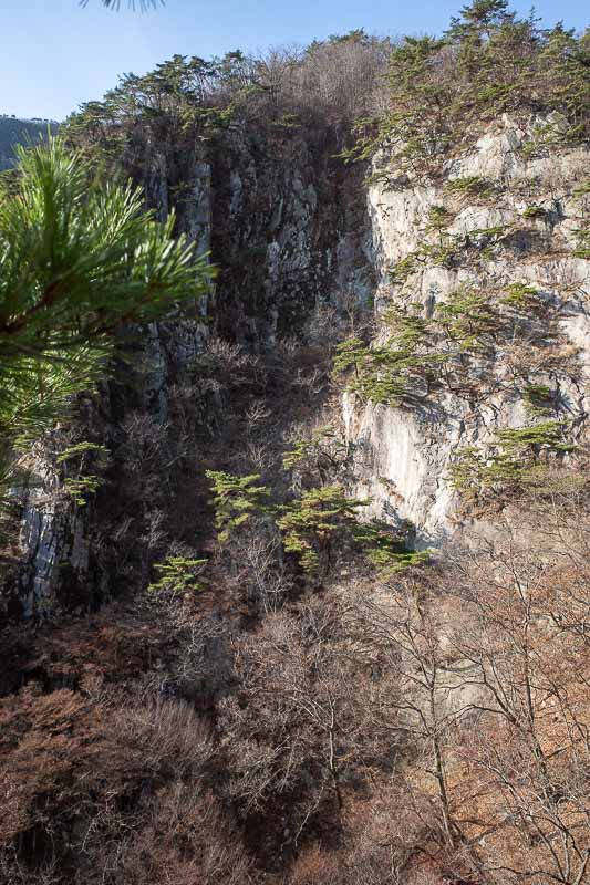
Signs suggest this is a view of a waterfall. Not at this time of year.
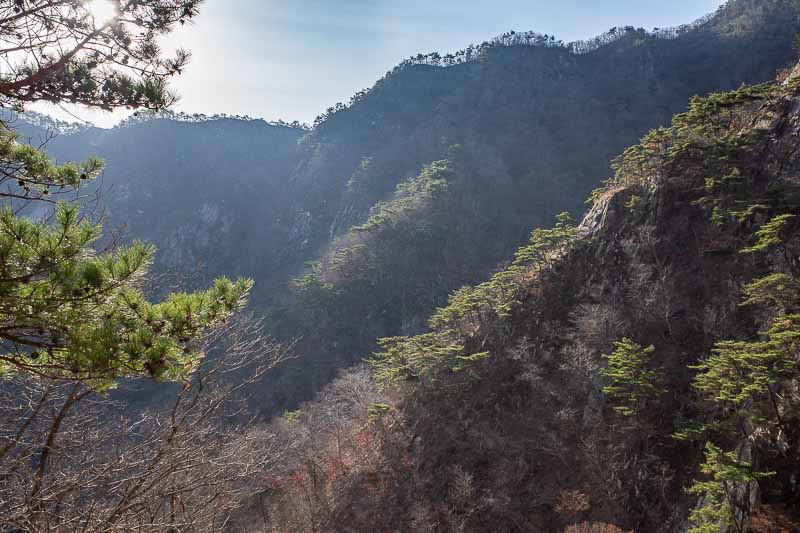
Some more view of mini pine trees on cliffs.
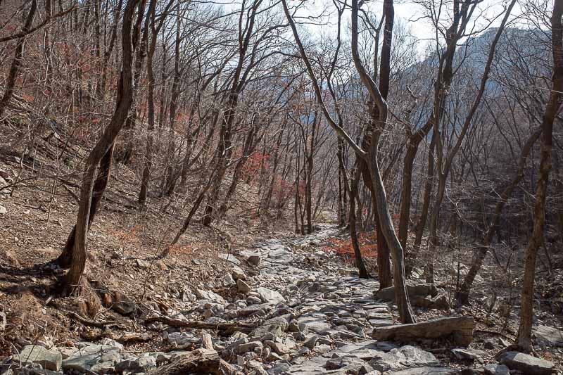
Great rocky path, but soon it became a very steep climb.
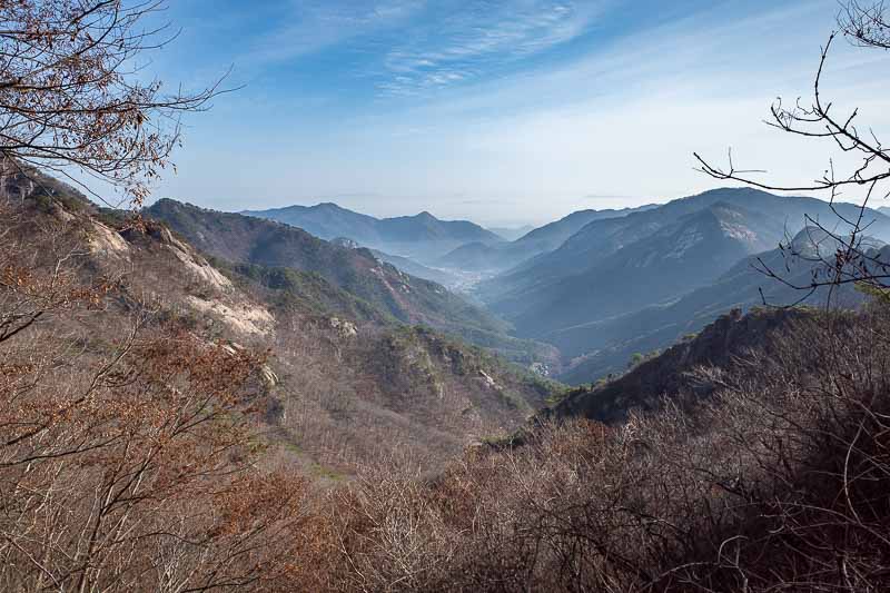
You can see the village below where I got off the bus.
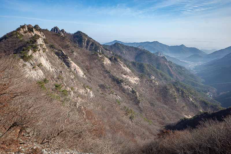
Later on I would go over those peaks on the left, I will call those the technical part of the hike.
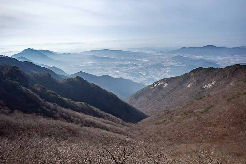
Near the top now as I am looking down the other side. Farmers are doing a lot of burning again.
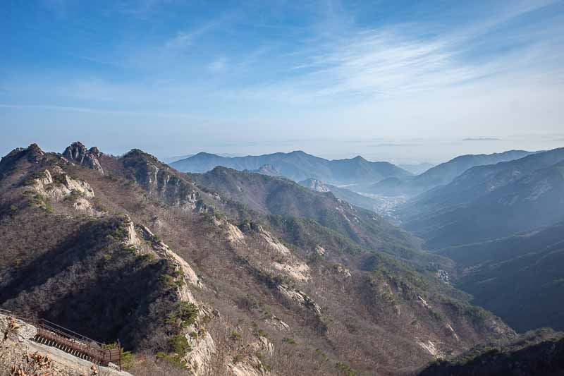
View back towards the village from the top.
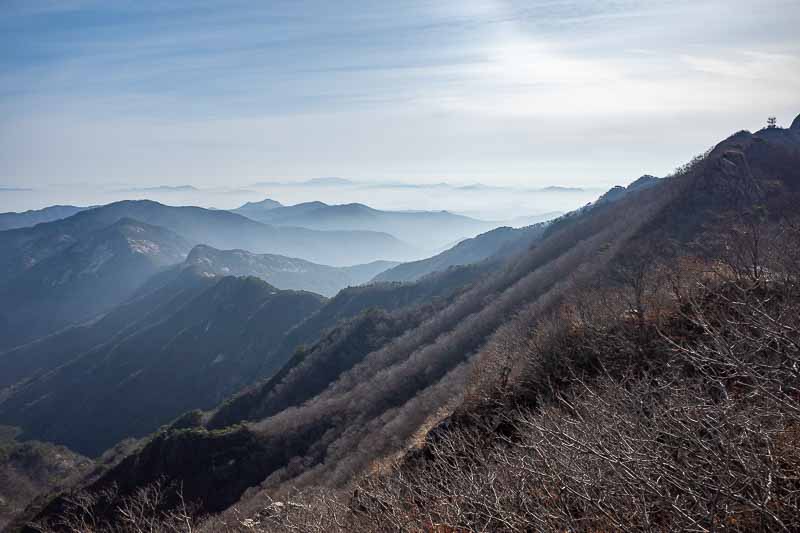
And another view a bit more to the right.
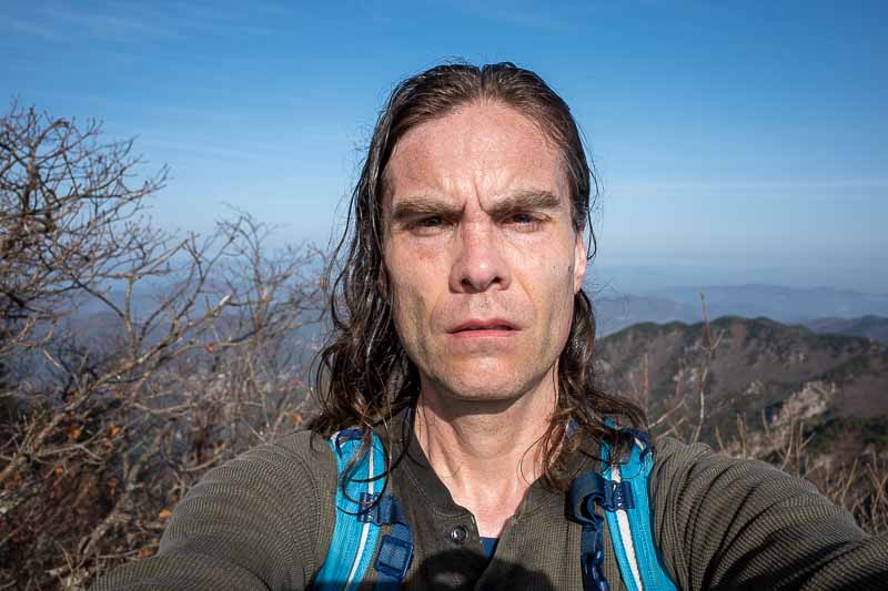
Not bad, but I have done better. The sun was bright.
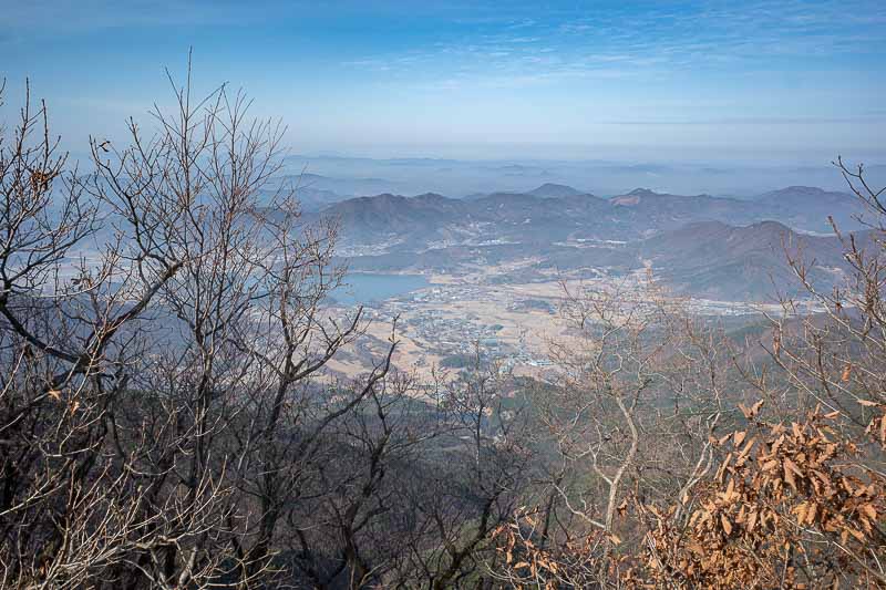
At this point I am heading over to a bonus peak, from which I would double back. I could hear a lot of kids yelling and screaming. Up until this point today had been very quiet, no jets. There were other people up to the main peak but no one across to here.
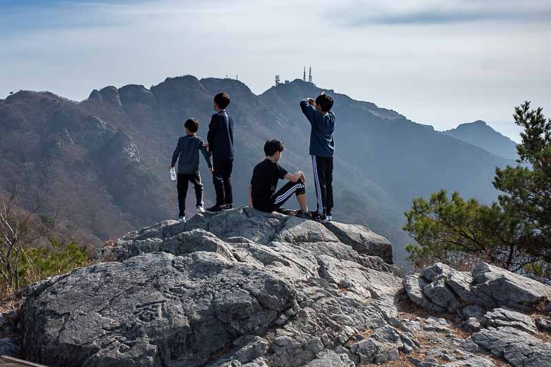
There are at least 4 ways up to the higher areas of the park. These kids came up from a different one to me, and were now screaming at 100 or so other kids still coming up that path. I doubled back fast to avoid them.
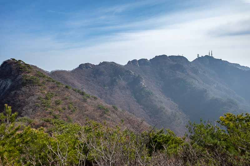
A view back towards where I came from. I will now head back to peak number one on the same path, which no one else seems to use.
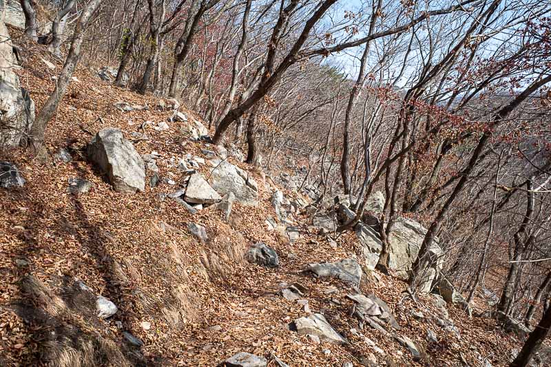
The lonely path between peaks was rocky and leafy. But progress was still relatively fast.
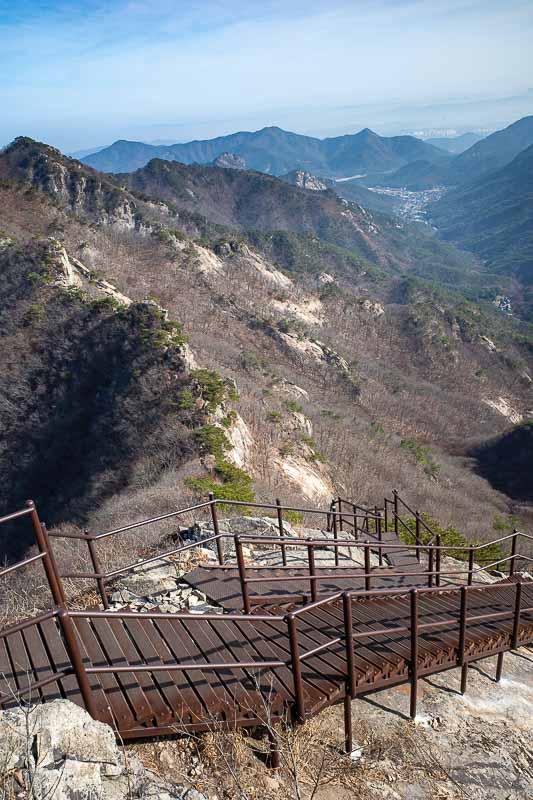
Back at peak 1, and it was time to loop around to the technical bit. First, A staircase down.
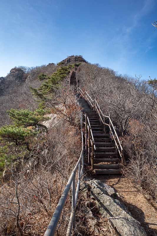
It was a long staircase. There were still a few people on this bit as it is an alternate route back down to the hermitage from the start of the day.
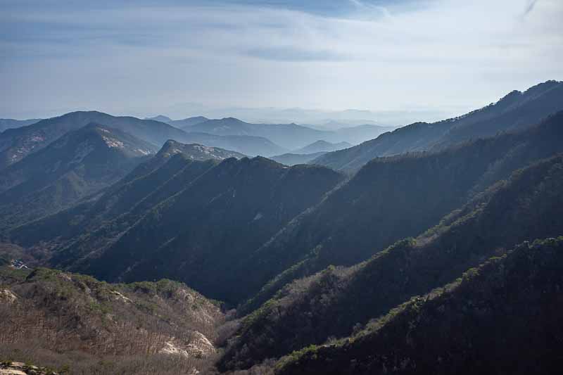
The view was often on show.
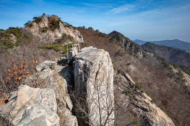
These bits were rocky, but mainly had stairs where it would have otherwise been hard climbing.
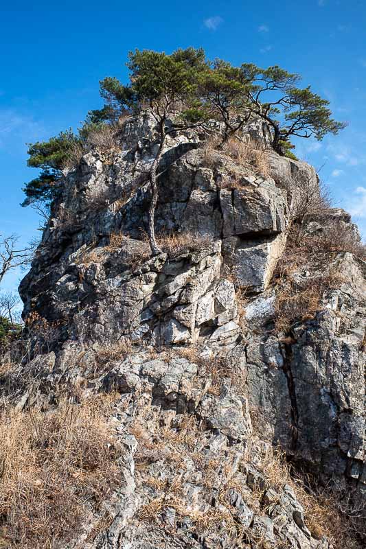
I think last time I was here I walked along this path in the other direction in the fog.
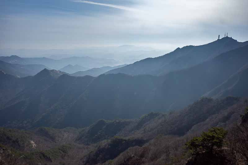
Time to check on the view... again...
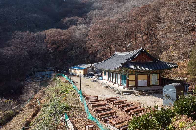
I definitely remembered this from last time. I came up past it from the car park. This time I will loop back up again.
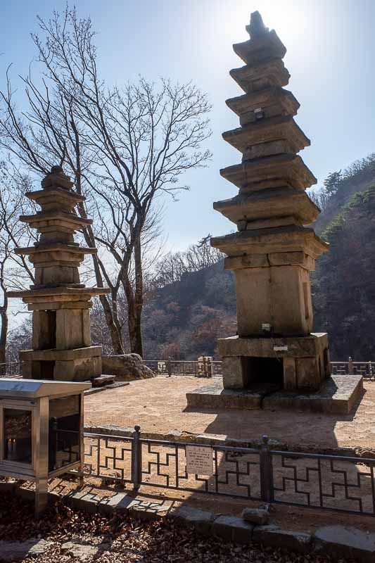
These were a great photo in the fog last time. No fog at all today, it was hot at this stage.
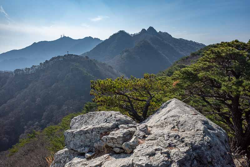
Now I was on the technical section. No more stair cases. Just rocks to clamour over.
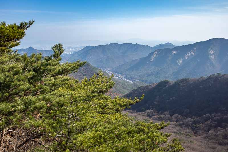
Village below, I was walking along a ridge around it. Sometimes crawling.
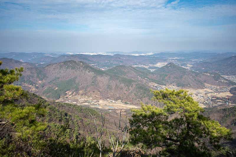
The view down the other side. That city in the distance is not Daejeon, it is the new government capital city area called Sejong, where they plan to move the government to from Seoul. Apparently the plan is not going well.
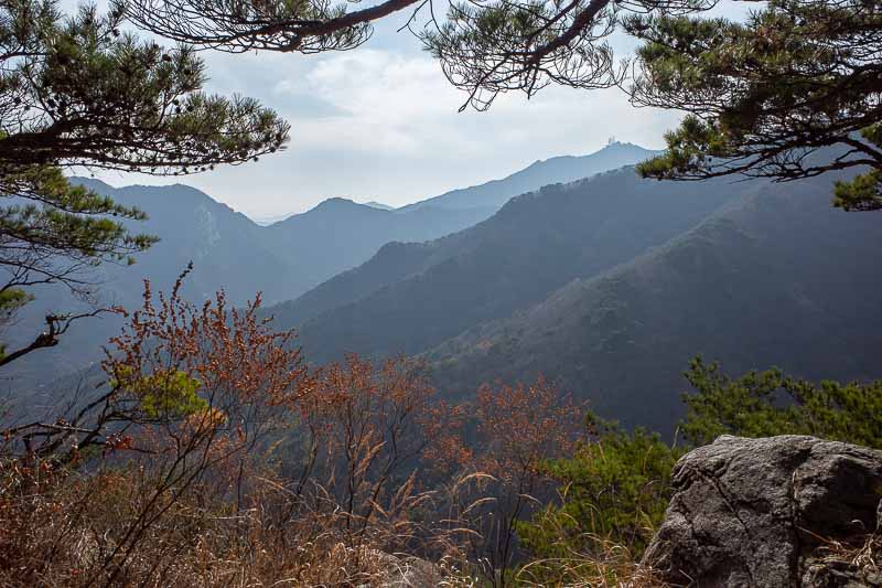
A framed view.
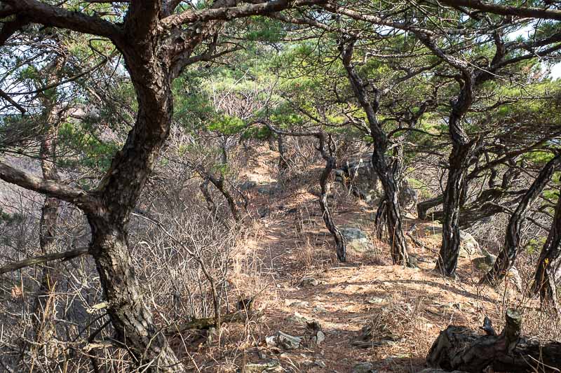
A piney view. I did not really do a good job of capturing the tricky section.. which went for about 2 hours.
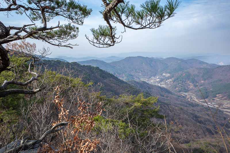
Final view before heading down.
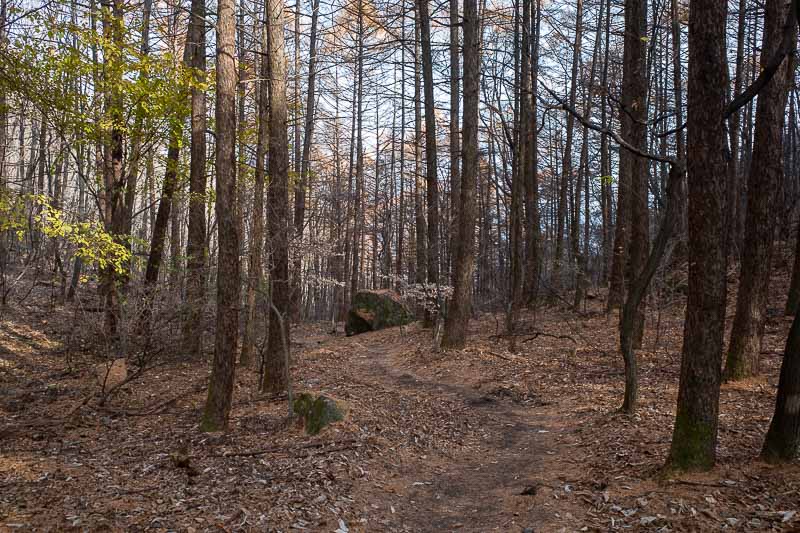
I was thrilled to get down to a valley that was soft under foot instead of rocky.
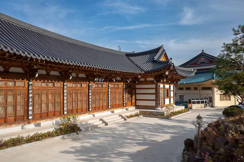
And predictably, I popped out of the forest into another shrine. They were burning something that smelled terrible, dead bodies perhaps.
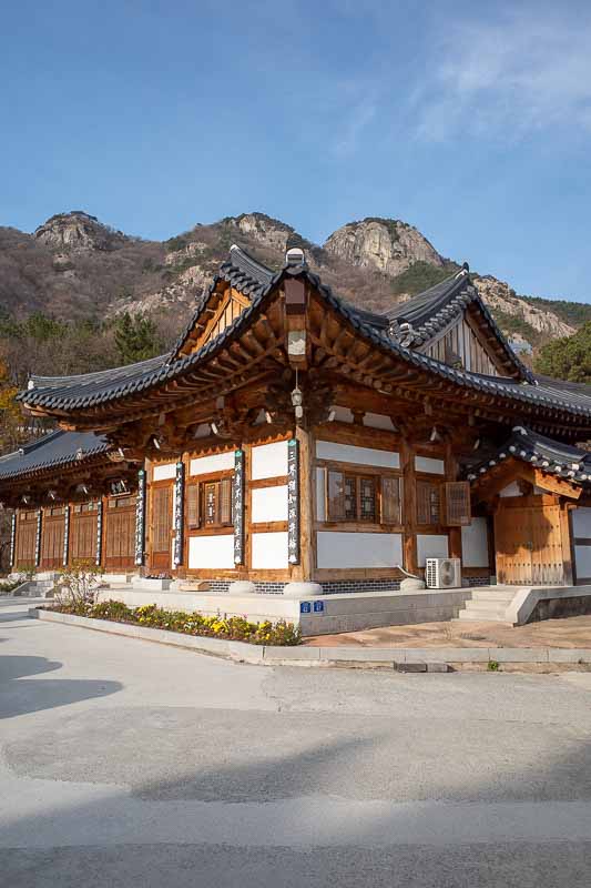
The 3 technical peaks behind the shrine.
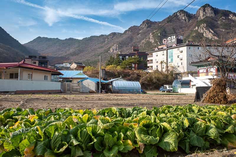
Last photo, cabbages, hotels, the three technical peaks, and the higher less technical peaks with stair case access further to the left. That was a lot of photos. Tonight's outing will be brief.