7 April 2026
I have hit rock blossom
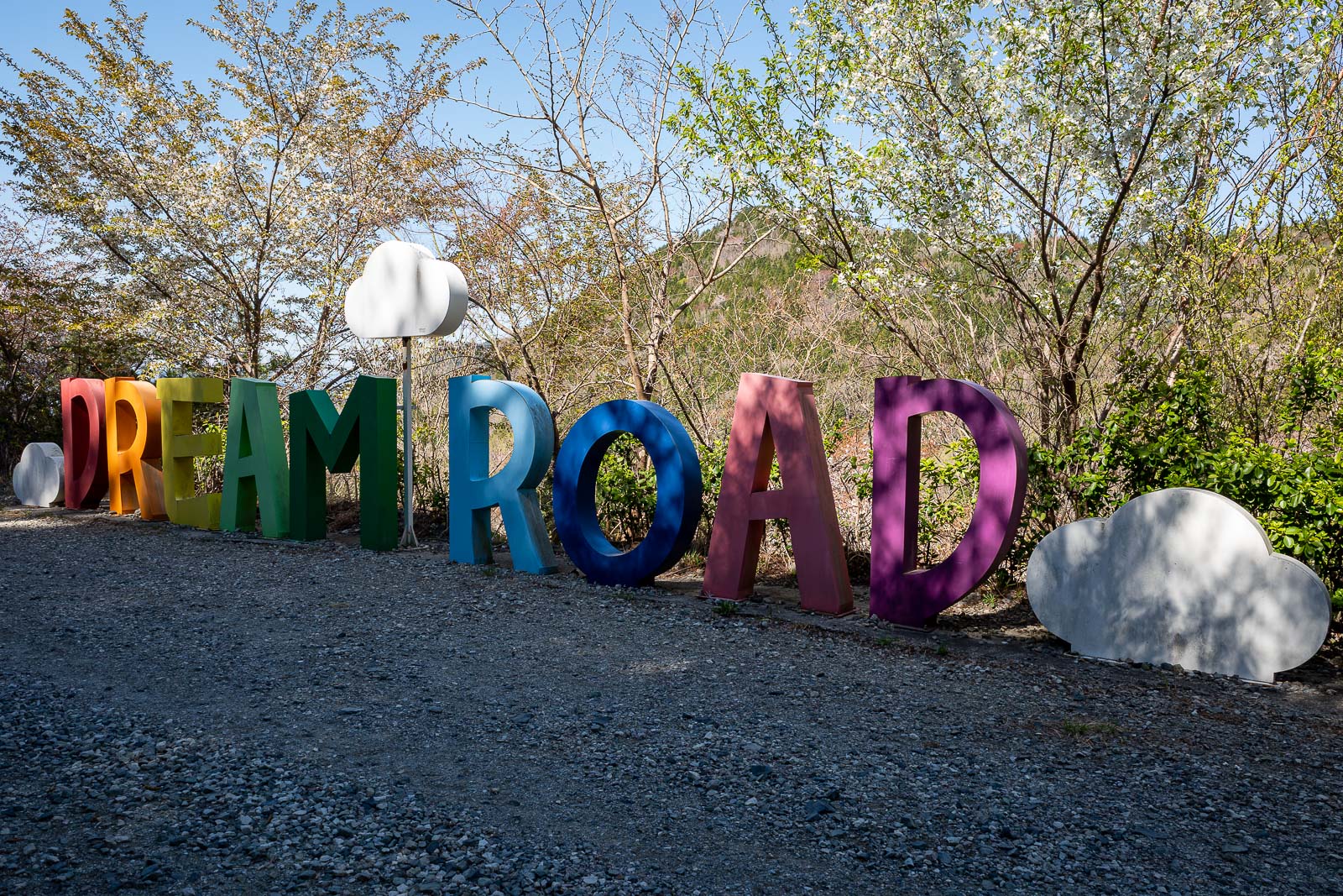
Jinhae dream road
Finally a clear day, just in time for the small easy hike with all the best views.
It took 2 buses to get to my desired starting point, but you can start this hike from almost anywhere, including the Changwon side as you shall see.
It stayed clear all day too, probably because of the strong breeze, strong enough for me to leave a long sleeve shirt on all day.
Now for the stats and then a huge number of very similar photos -
25,000 steps
14.45km including the temple detour
5 hours and 2 minutes
1,031m vertical ascent - more than I thought
1,145 calories burned - not many!
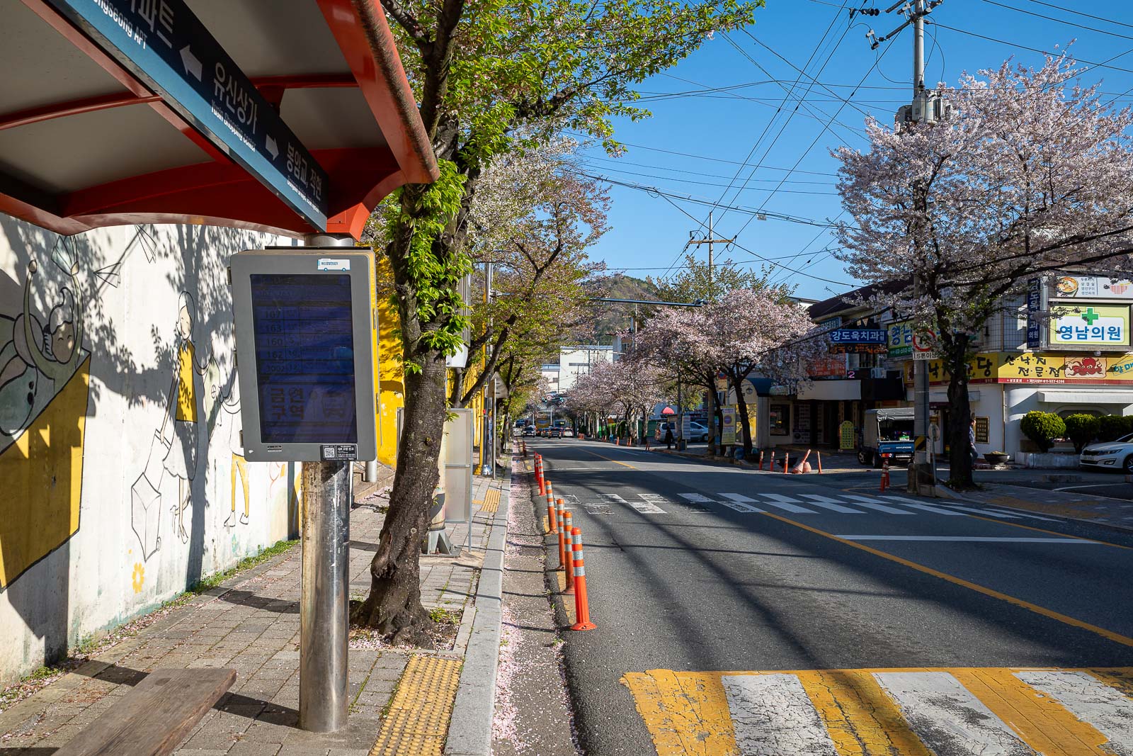
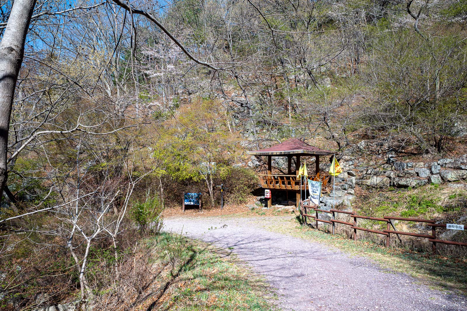
This is where I changed buses. I do not really know where it was other than it was right on the edge of a very large industrial area. I only had to wait 5 minutes for the next bus, with the digital sign on the bus top telling me all I needed to know.
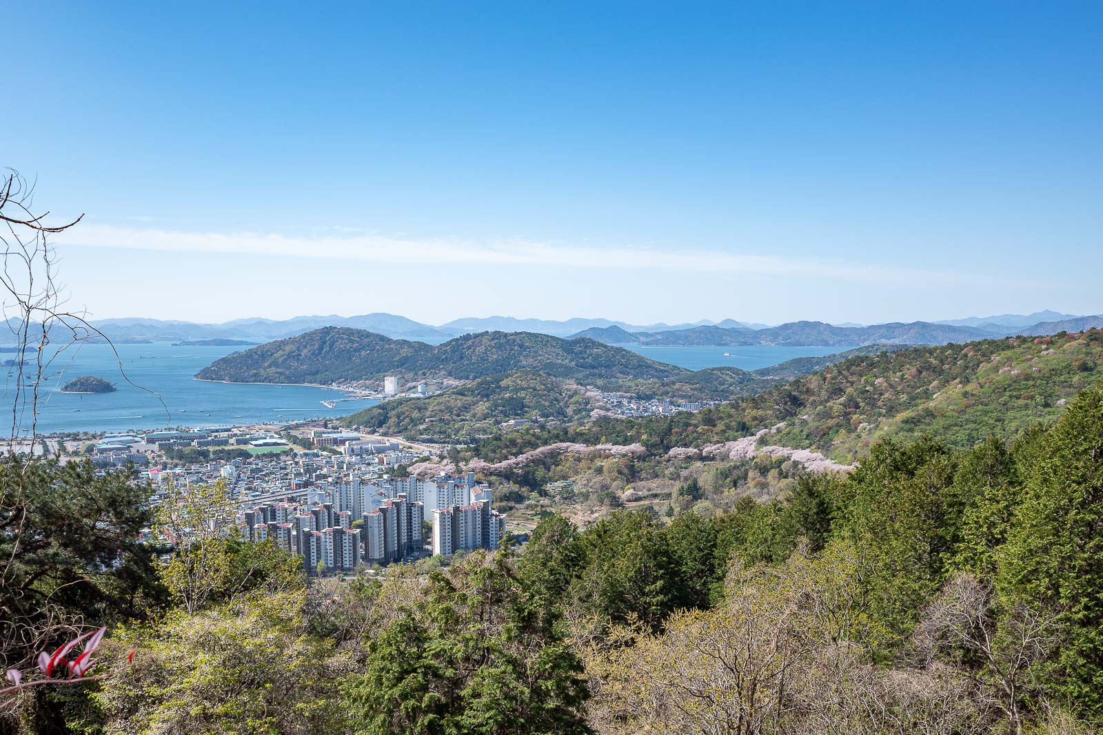
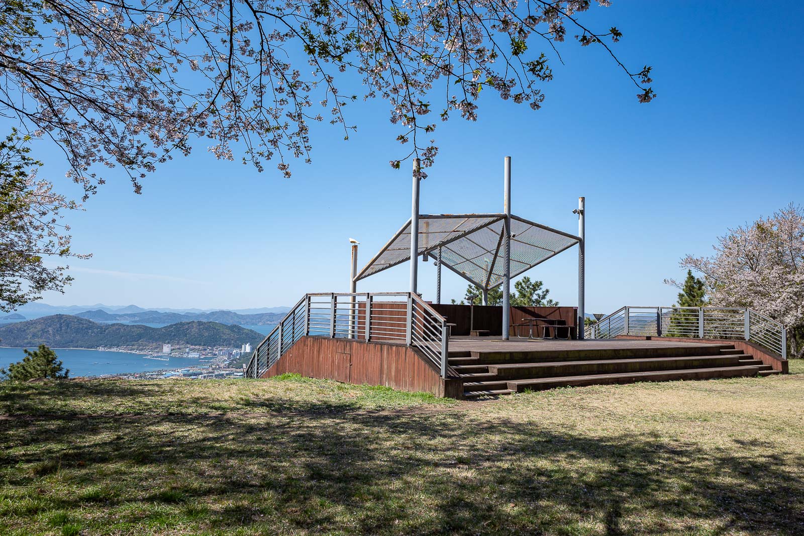
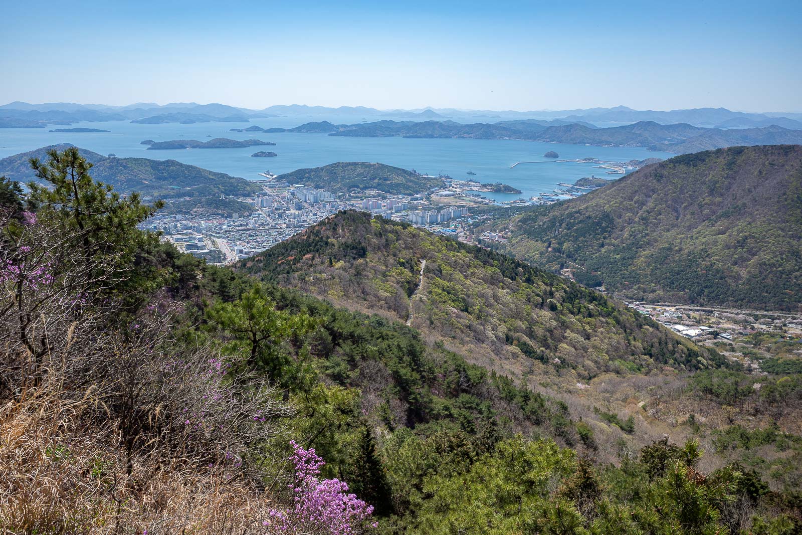
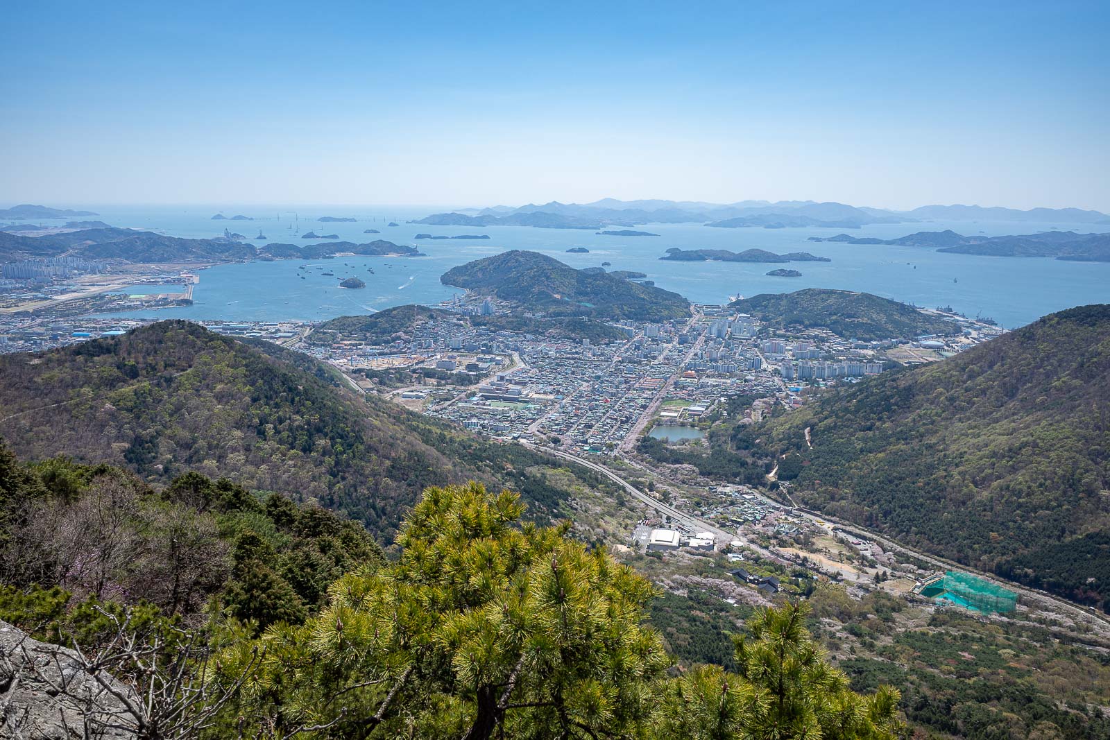
The view was excellent right from when I got off the bus.
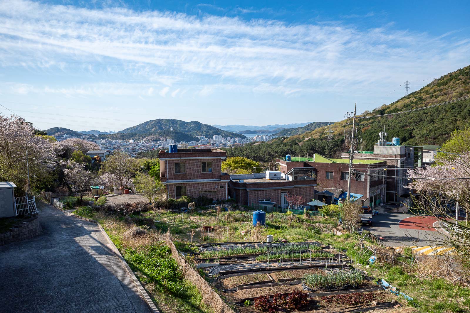
My starting point on the map is labelled either Jinhae civic centre or just 'rest stop', however there are a lot of statues and things around, including this one of a robot handing a baby to an alien astronaut and a nude woman.
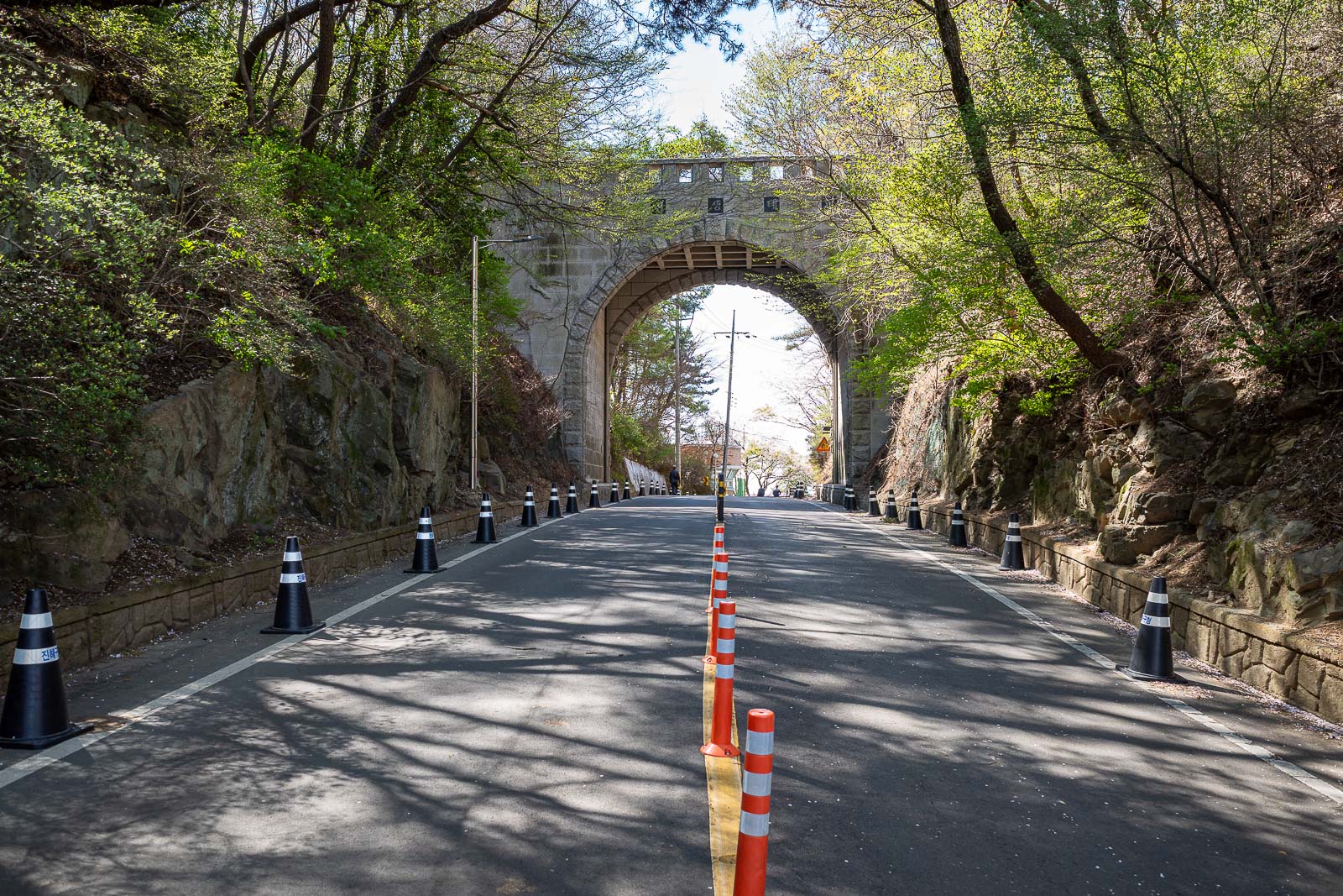
The first bit of the hike was up to a temple, and is a very steep road of sorts, but a road no normal car could go up without ruining the clutch.
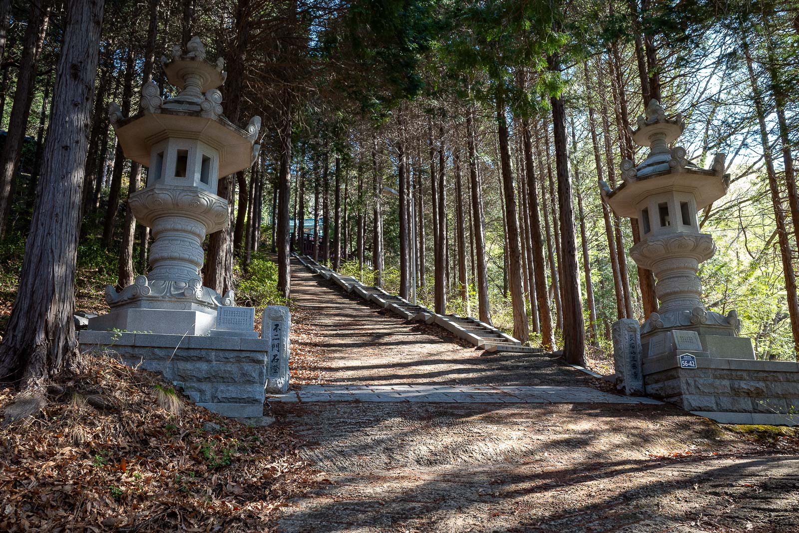
It gets steeper.
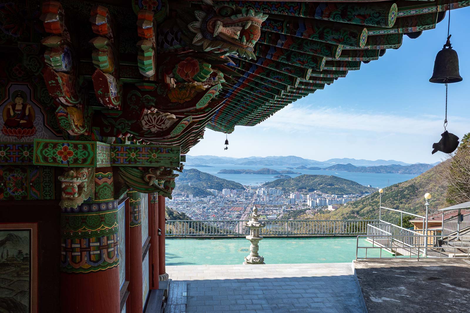
So much steeper, but now I am at the temple area. Technically it is not on the Jinhae dream road trail, but I decided to make a detour.
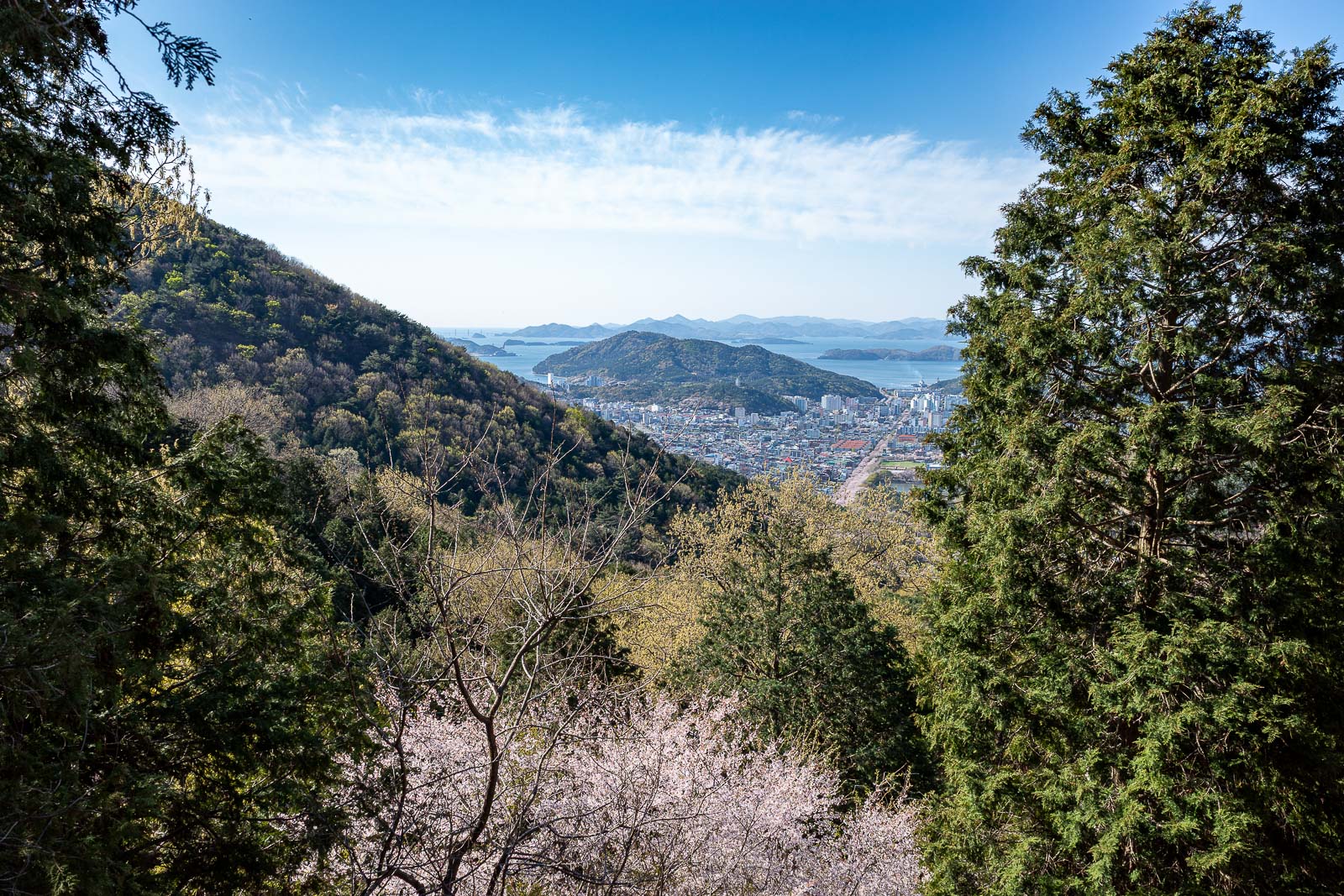
Nice view, a very large amount of more view coming.
The line down the middle of the view is all cherry blossom trees.
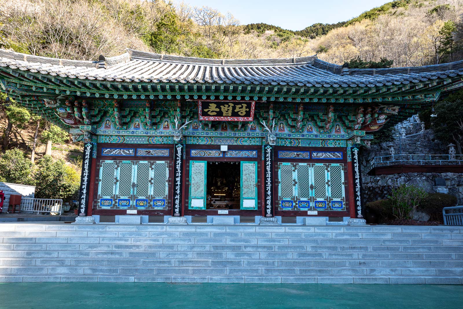
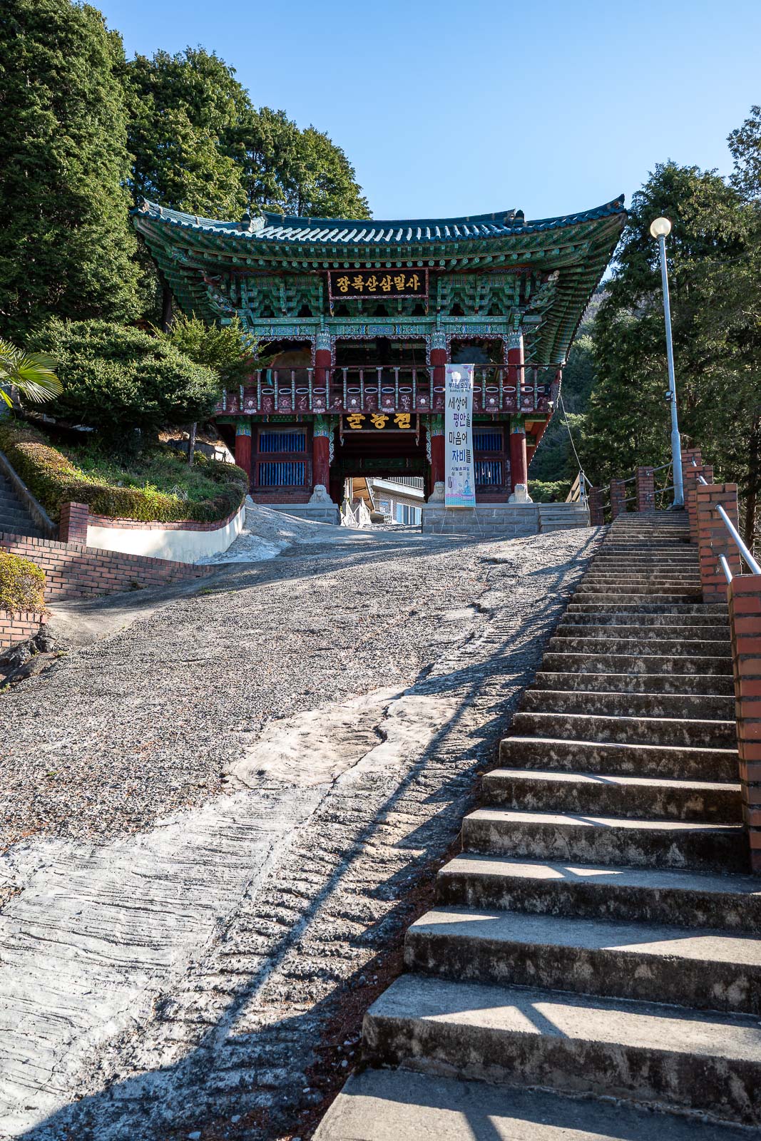
Here is the temple. Very strangely coloured.
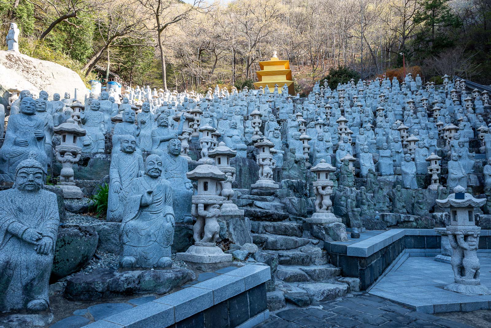
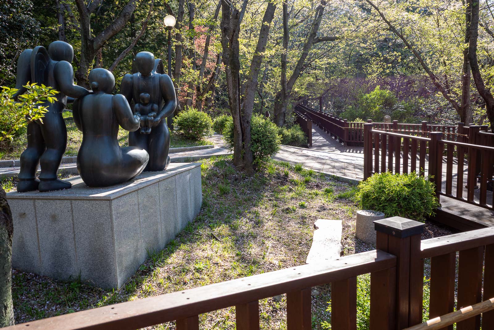
I was then faced with a sea of statues. I think every single one is different.
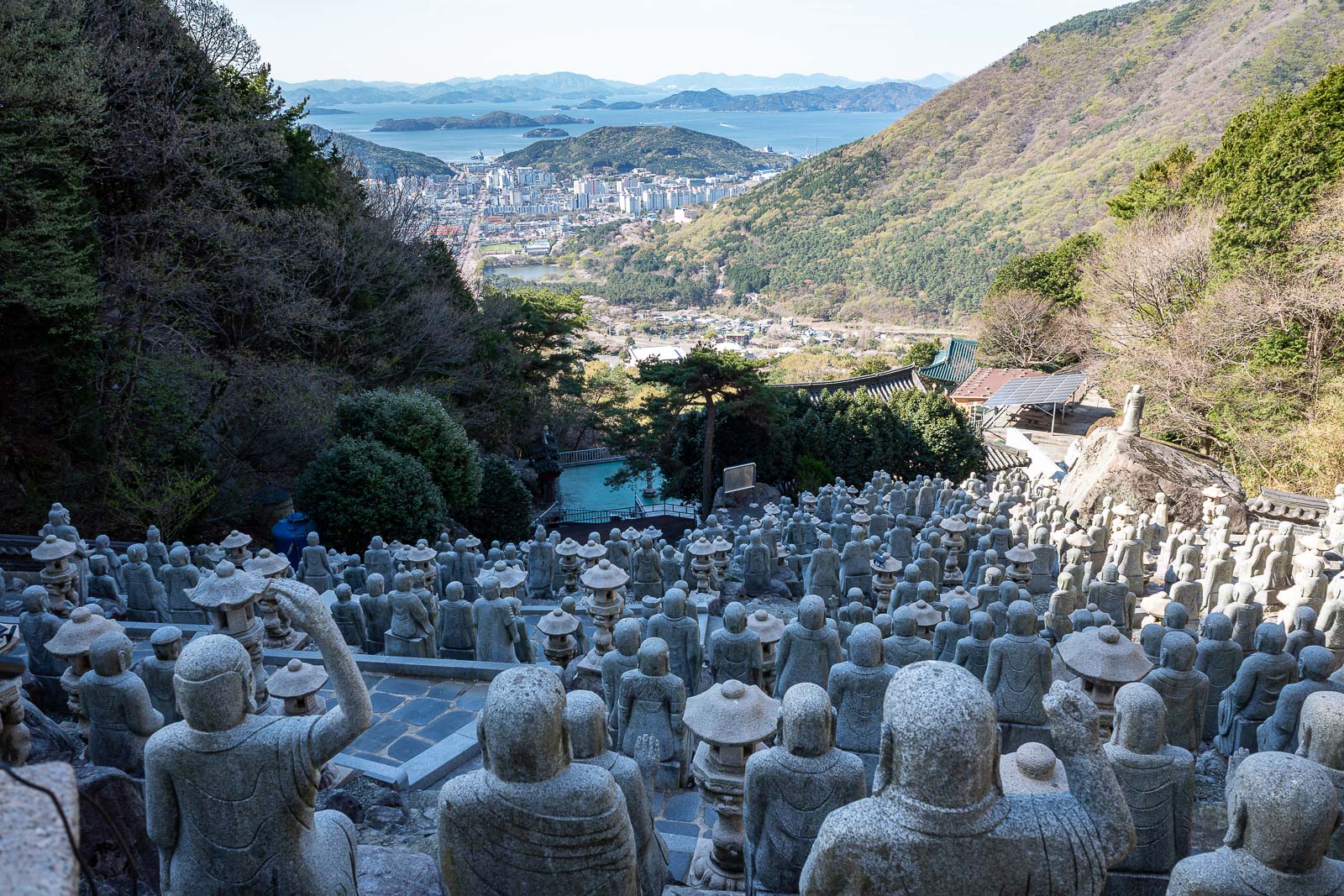
There is no way out the back of statue land, so this is wasted effort to get up here to take this photo.
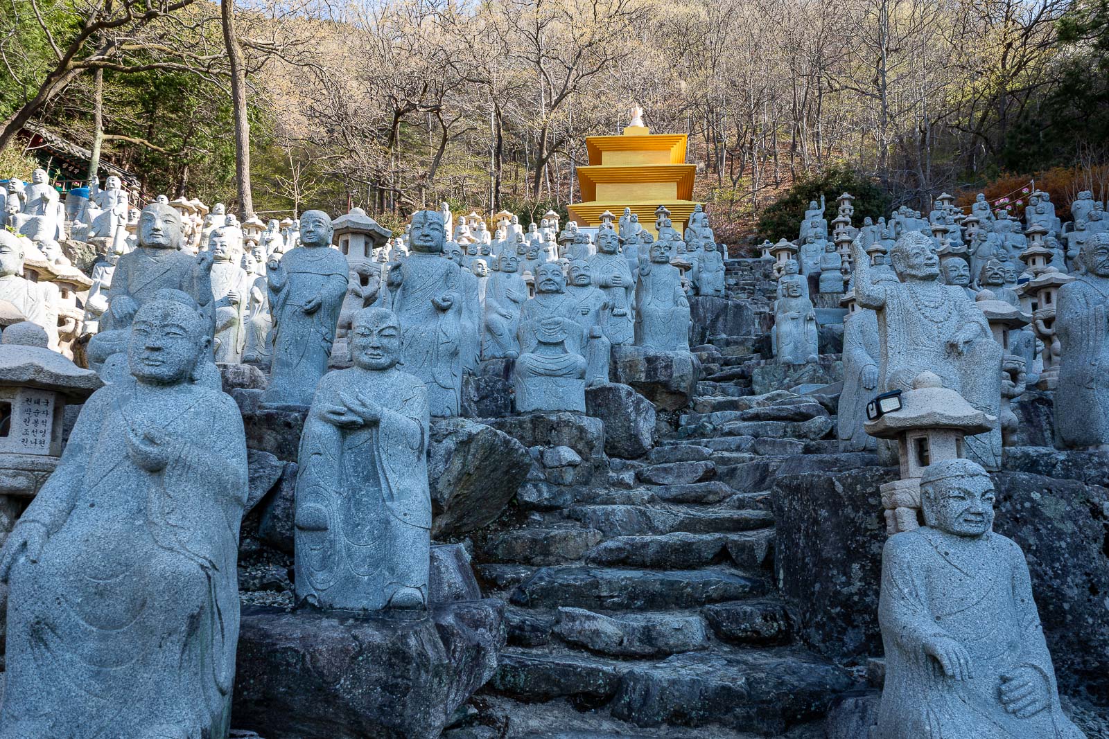
OK, one more of the statues. I was surprised to have the place to myself.
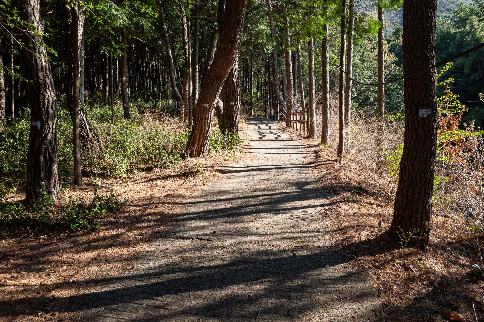
Time to leave the temple area and get hiking.
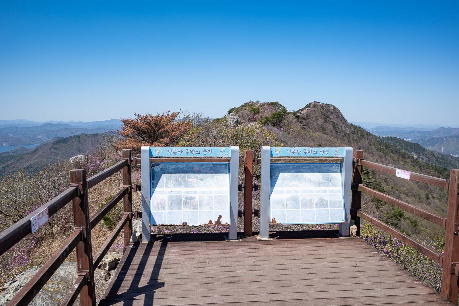
First third of the hike is the heavily promoted Jinhae dream road, which looks like a road as you can see. You will not get lost, there are numerous opportunities to head up a rocky cliff on other trails, I resisted... for now.
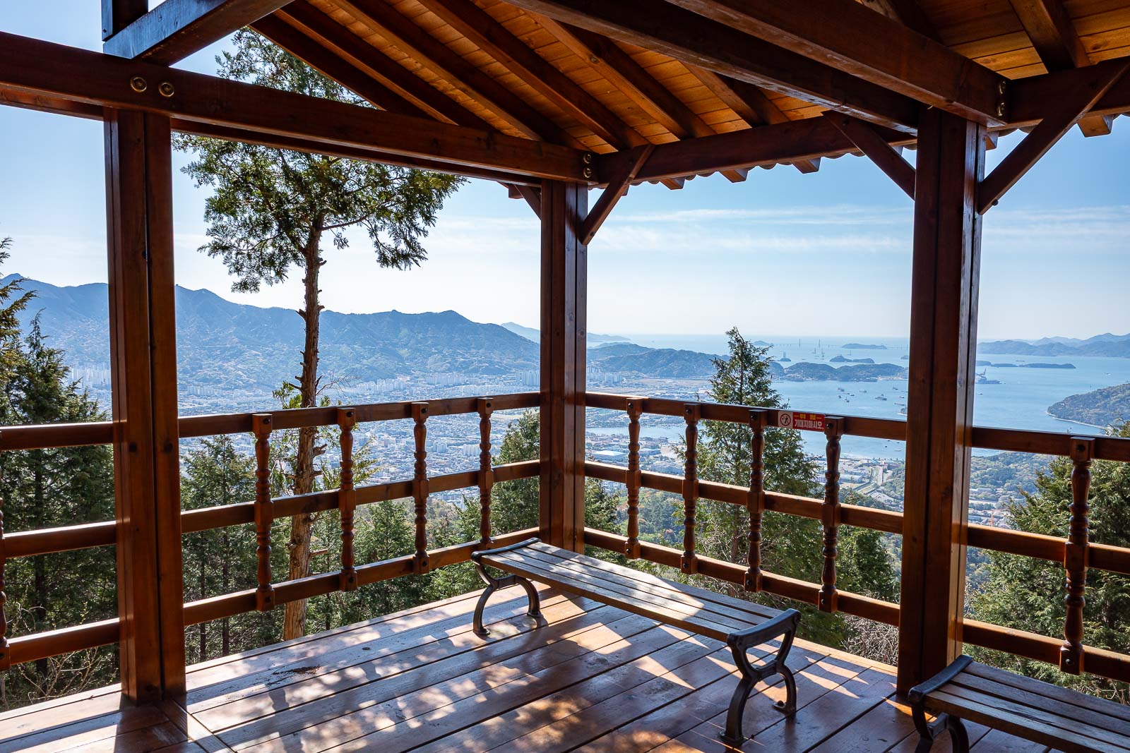
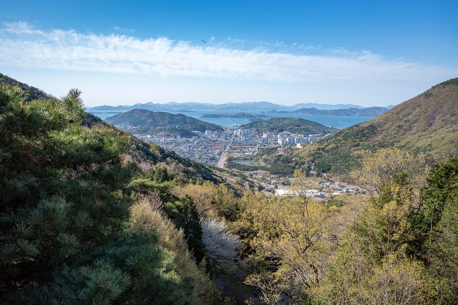
There are many spots to stop and take in the view.
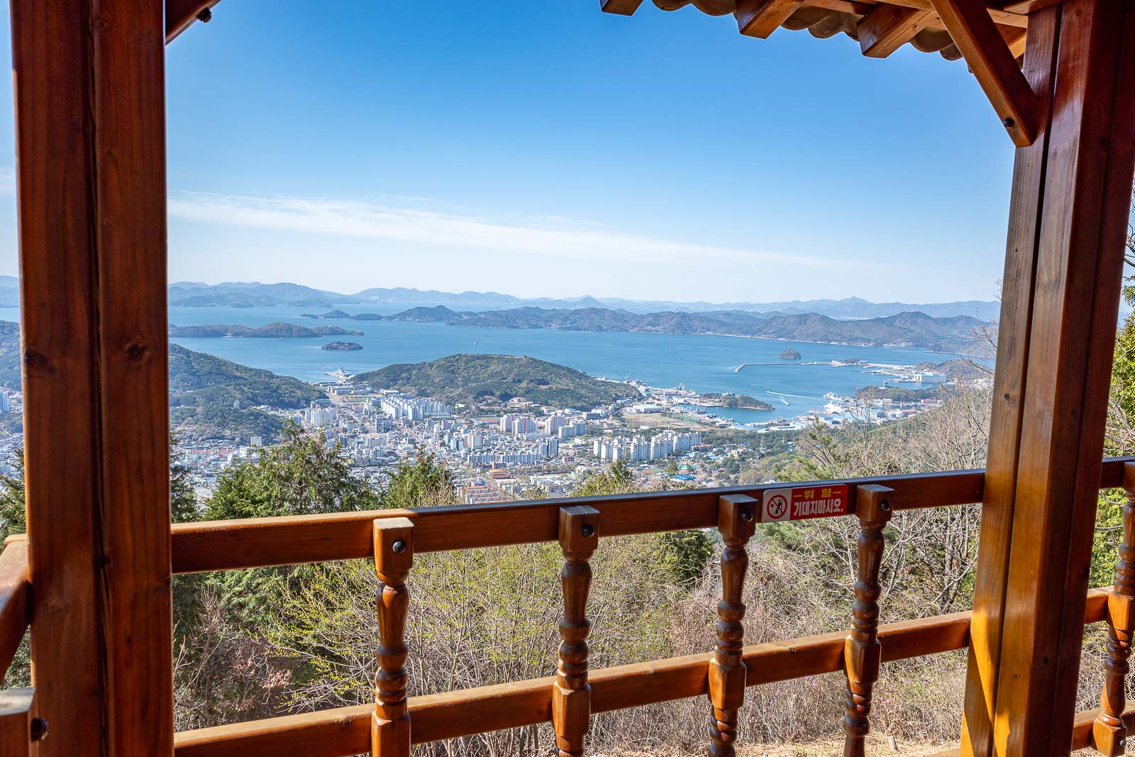
There is view in every direction too.
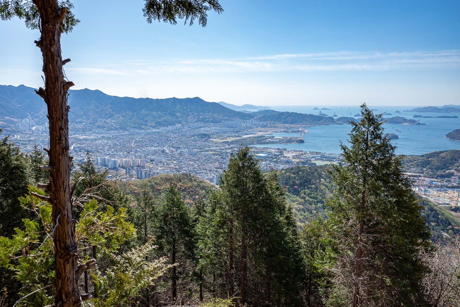
Down there is an air base and a navy base, you will see more of it soon.
The path along here is not really a hike at all.
Just in case I thought I was on the wrong road.
I was really enjoying the relatively smog free skies.
After climbing up quite high at the start, I actually then spent a couple of hours going down hill.
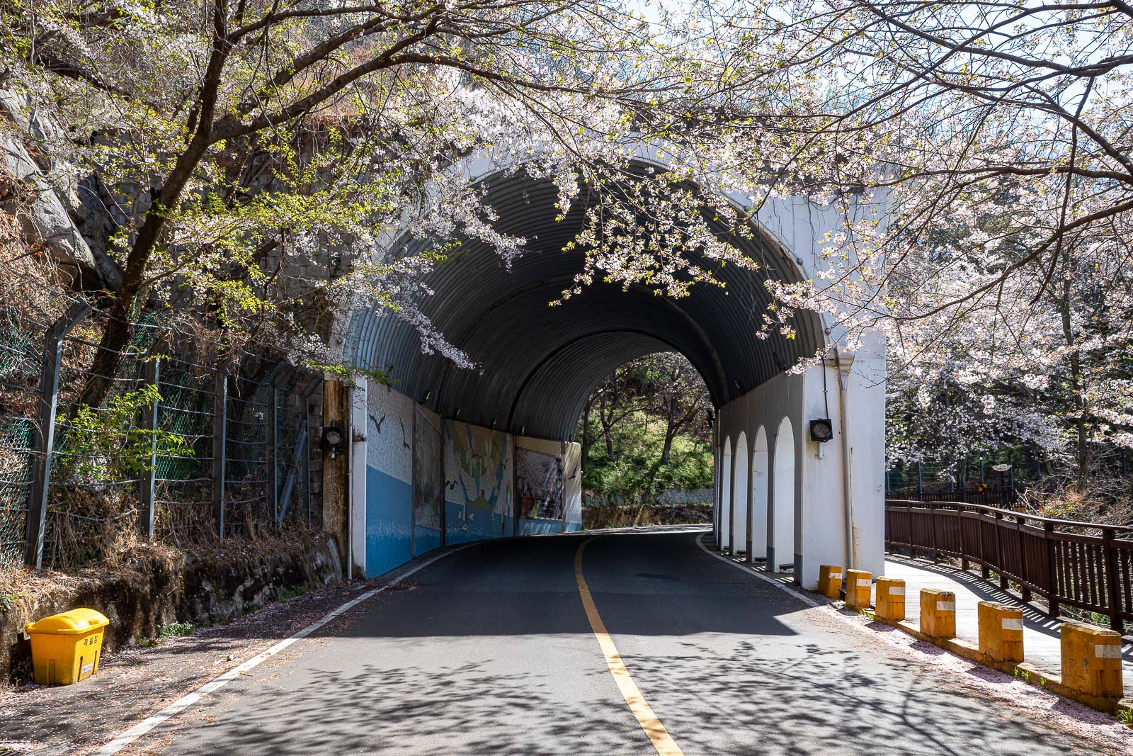
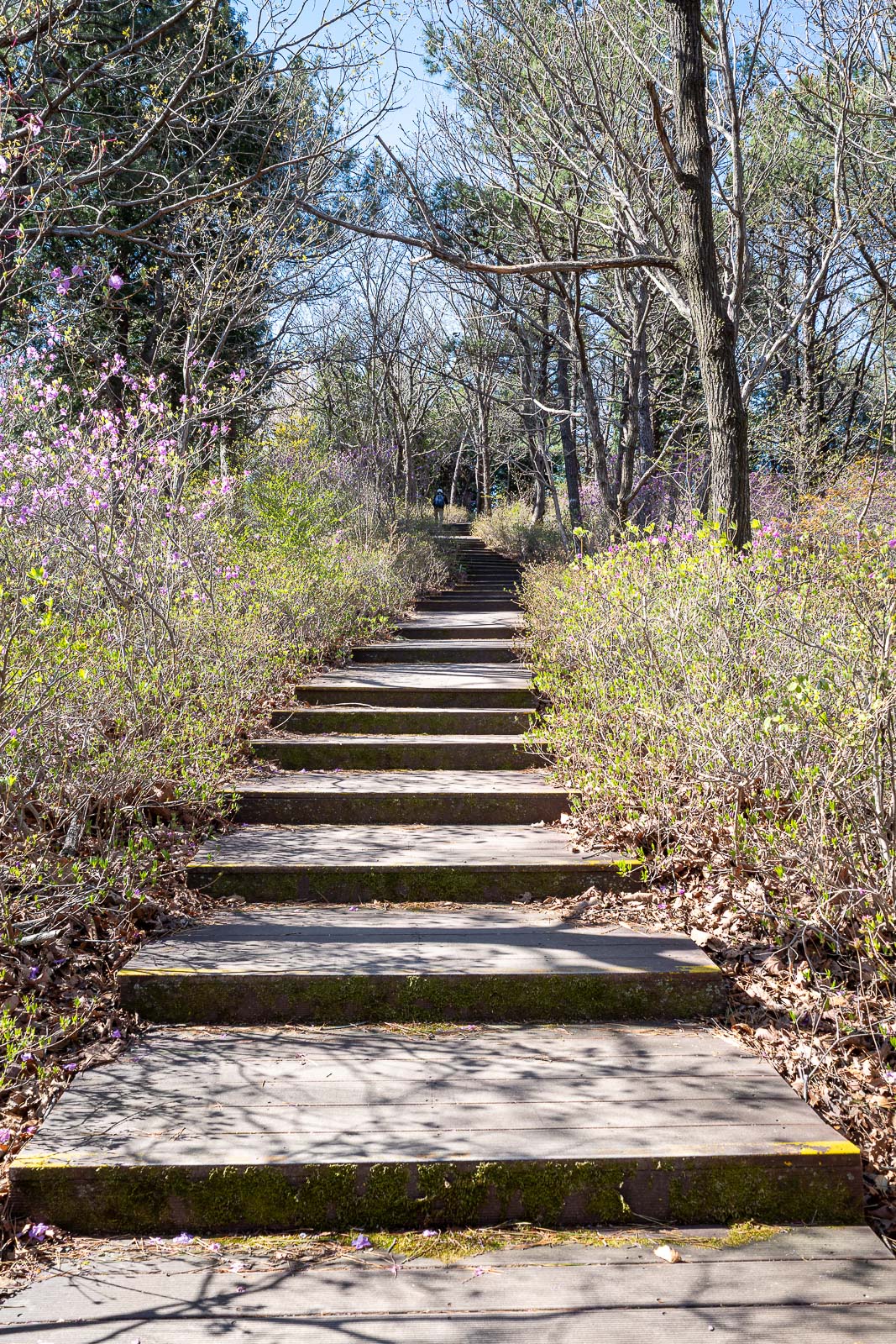
And then I rejoined the actual road for a few hundred metres. There were a lot of people walking along the boardwalk here. I enjoyed the landslide cover over the road.
There are blossom trees planted everywhere.
So many blossoms.
This is the point where I will about face and head up a real hiking path. As there were a few stairs to get up to here, no one else walking along the blossom filled boardwalk bothered to come up here.
I went back down again to find my hiking trail.
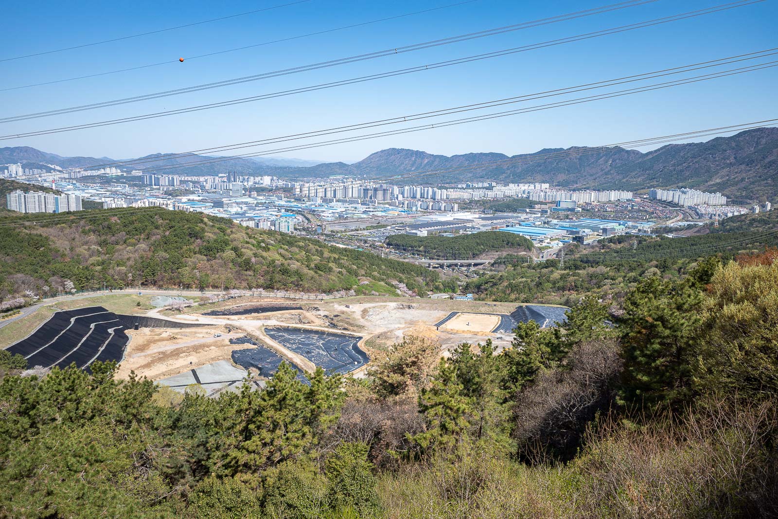
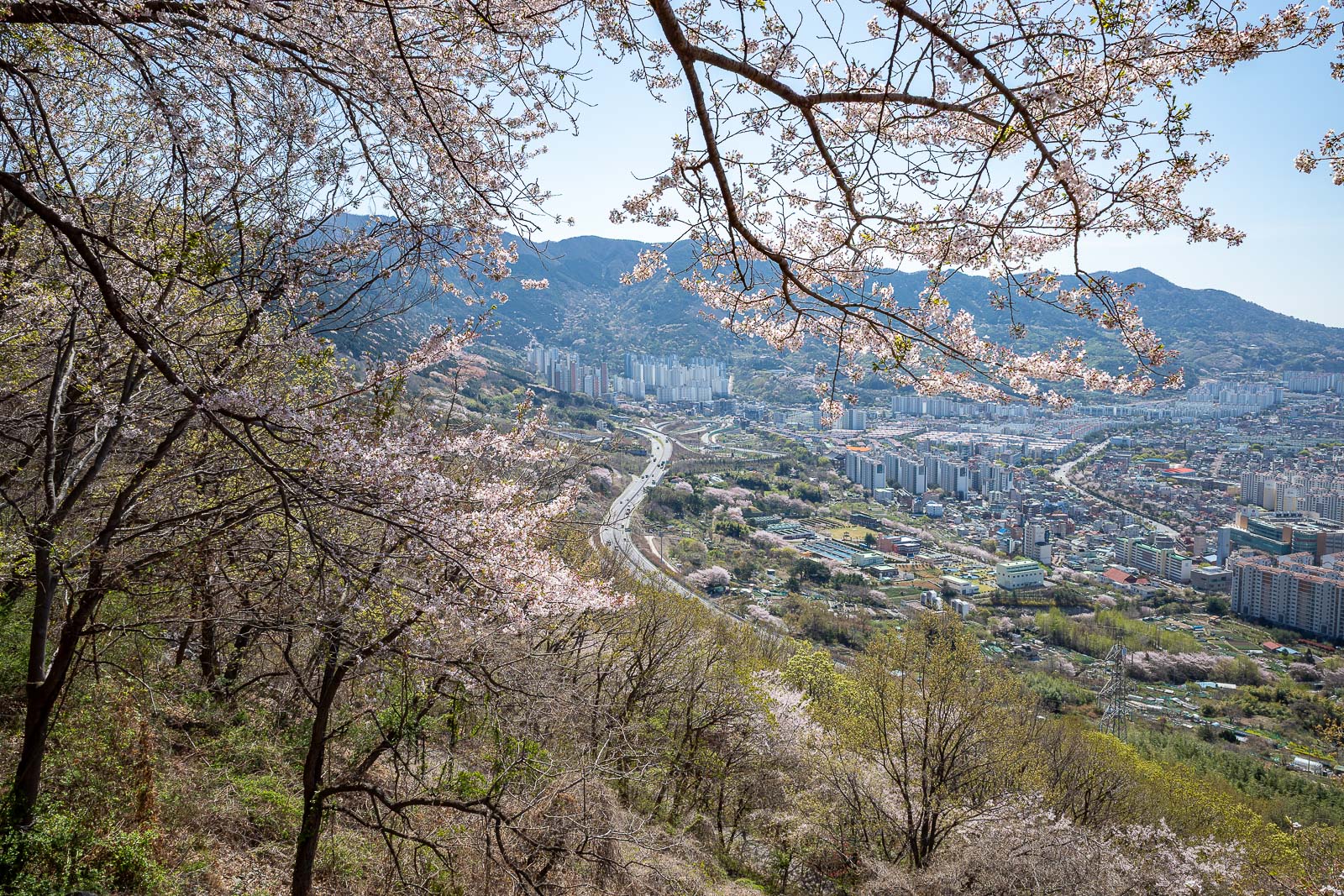
This is looking back in the direction of the main part of Changwon, where my hotel is. That looks like a rubbish dump. That would be an interesting choice.
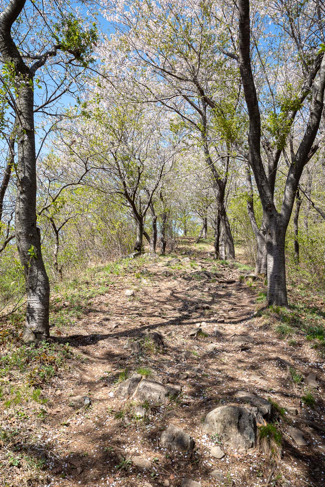
It may be a hiking trail, however there will be a lot of blossom filled trees.
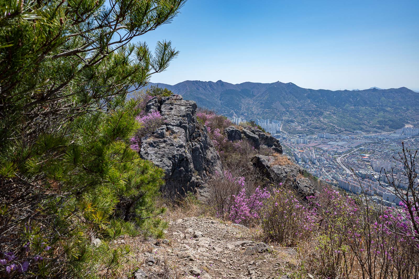
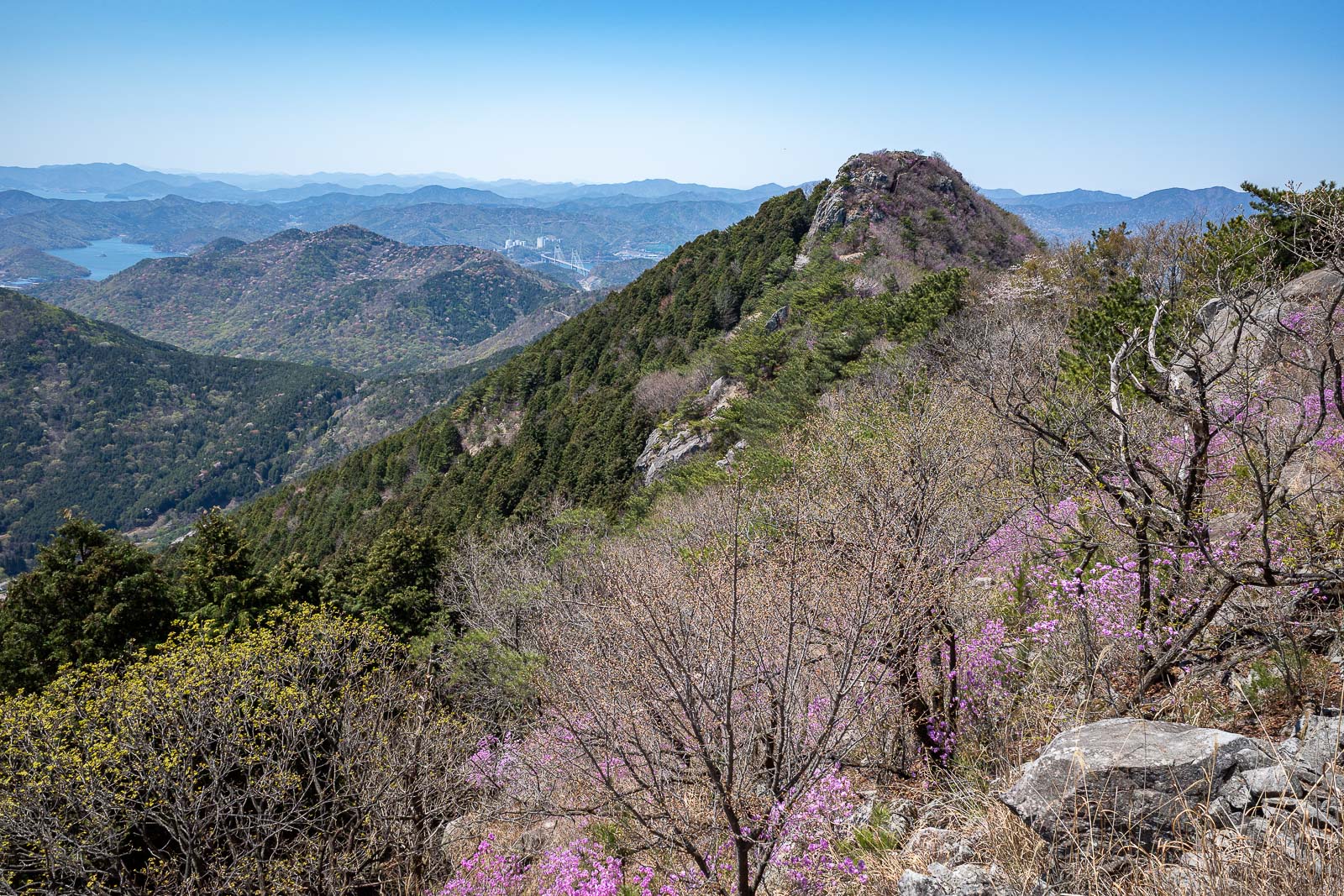
The trail started to get great. That is the direction from where I had come.
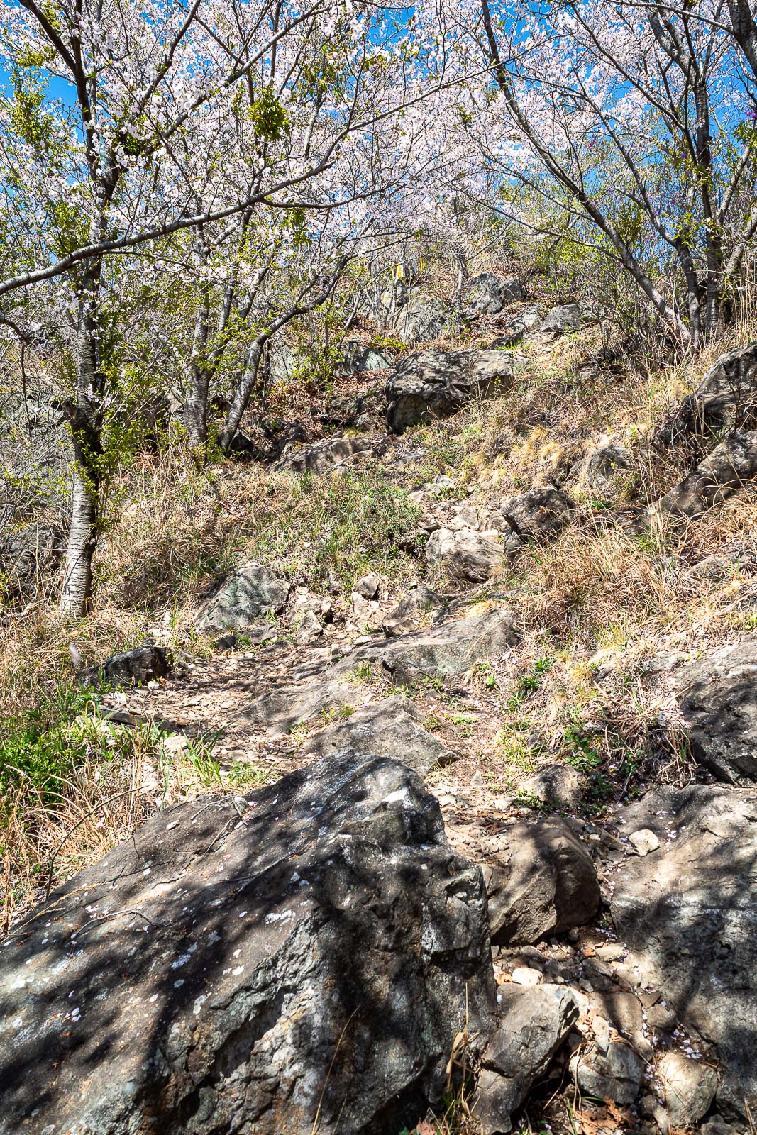
Parts of the trail where very rocky.
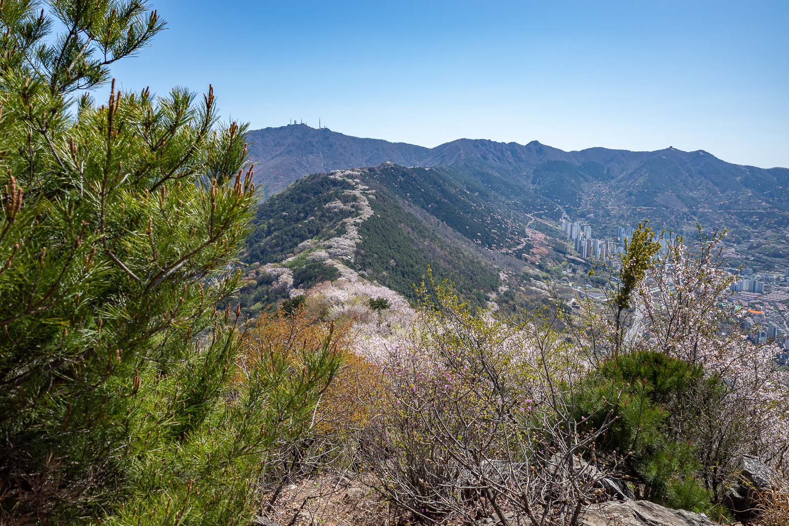
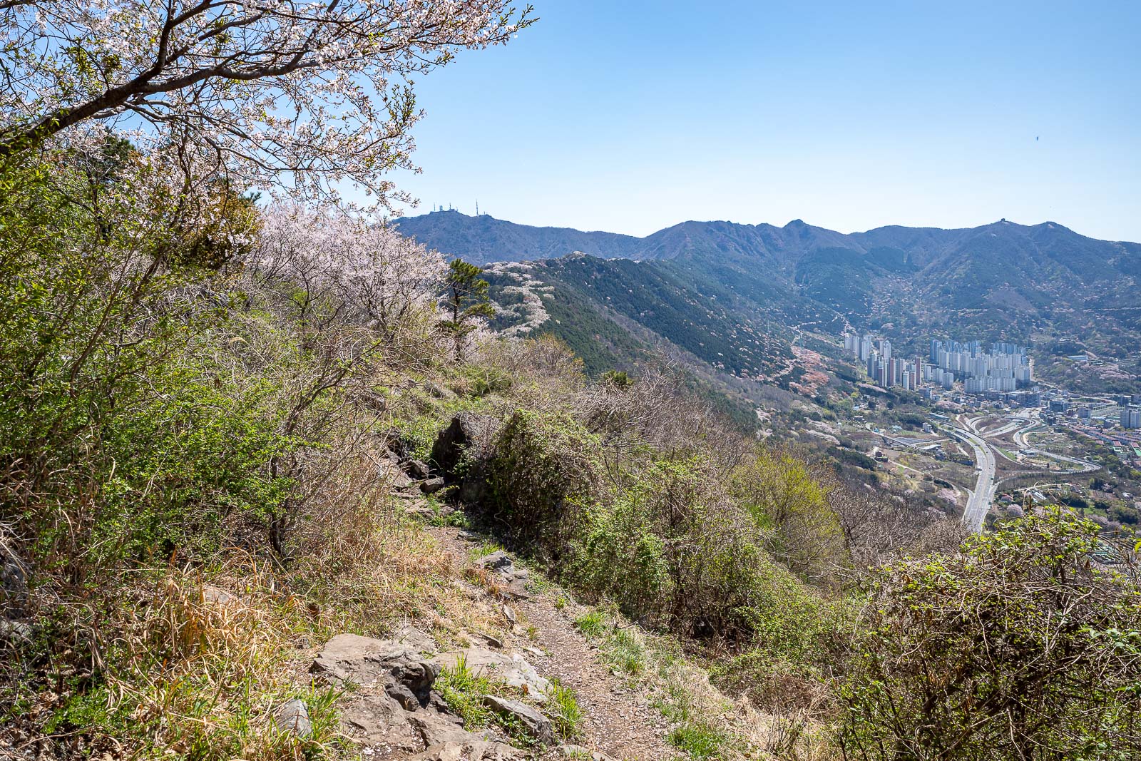
Here you can see the ridge full of cherry blossom trees, like a skunk stripe.
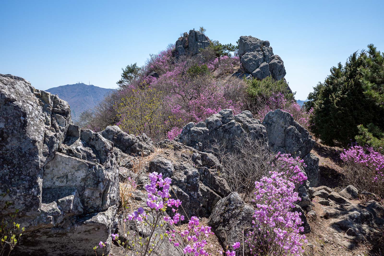
Almost the same pic, in the far distance you can see the communication towers on the top of the higher mountain from 2 days ago.
This is a summit of sorts, although the mountains do not seem to have names on the map.
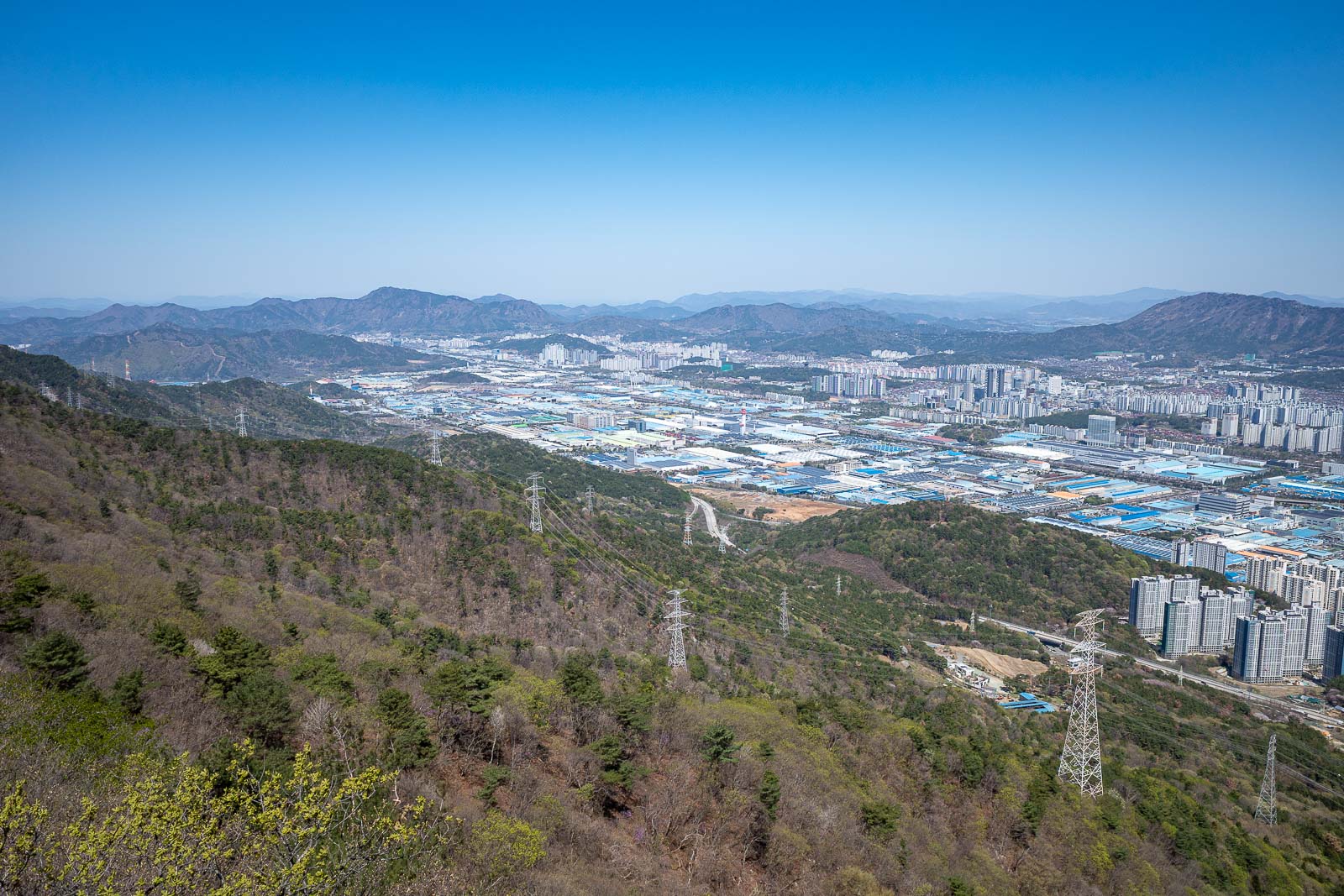
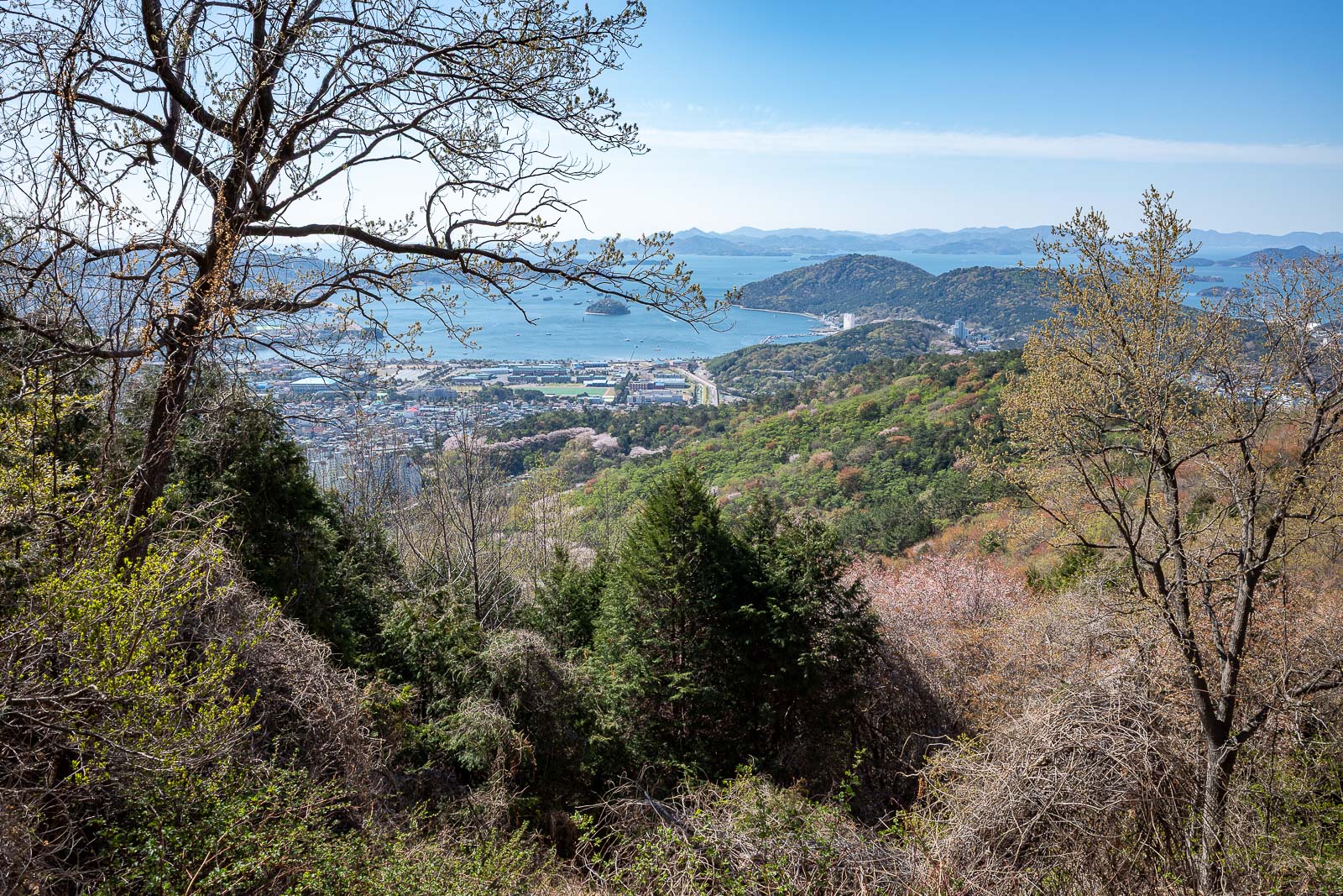
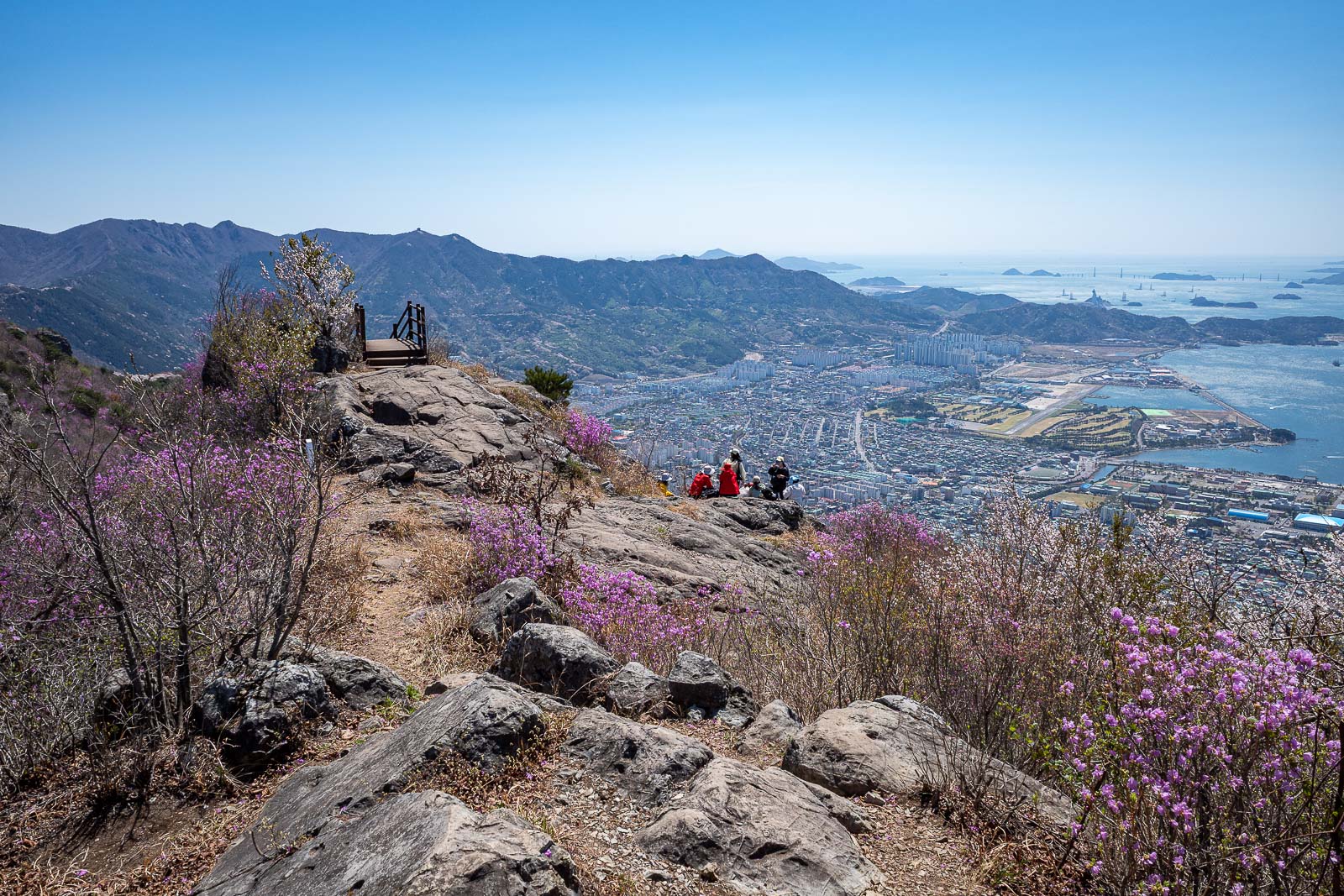
Changwon is still there, but a large industrial area is between me and my hotel. I could walk down that way but there are still much more exciting bits of the hike to come.
The runway at the airbase is surrounded by golf course on both sides. It may actually only be for helicopters these days, does not look long enough for aircraft. The military seems to like a runway for helicopter operations.
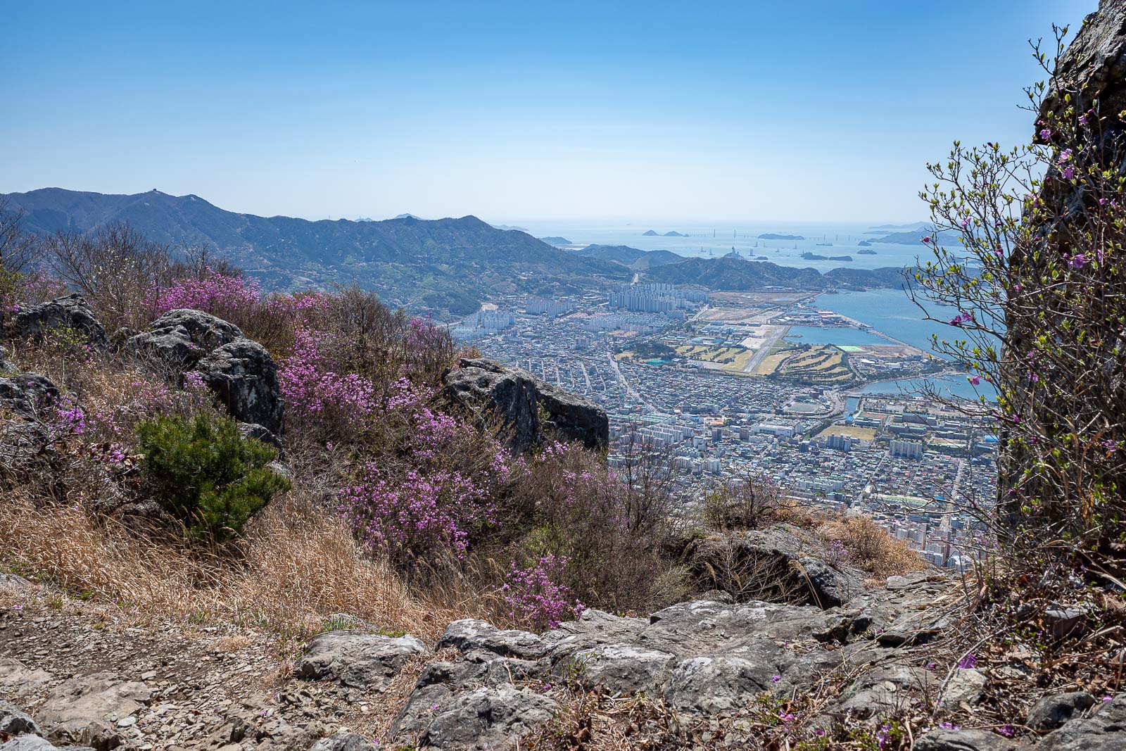
The ridge was rocky and purple.
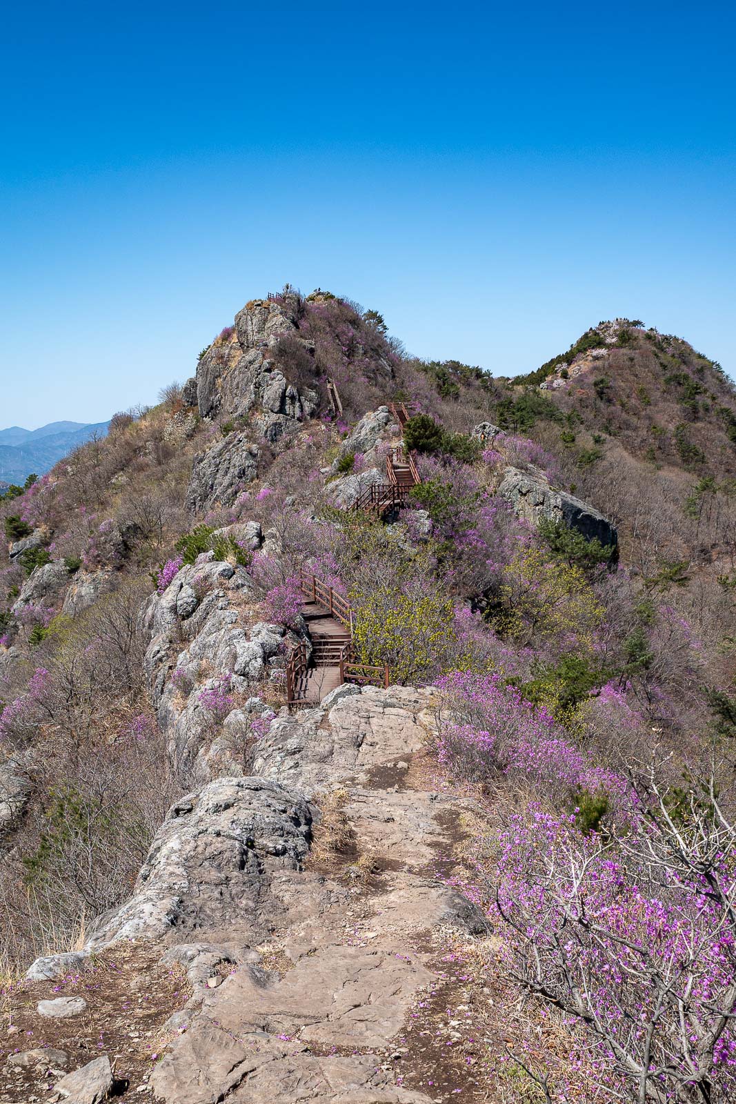
I will continue in this direction, you can see wooden staircases if you squint.
There was a steady trickle of other people today.
Nice rocks.
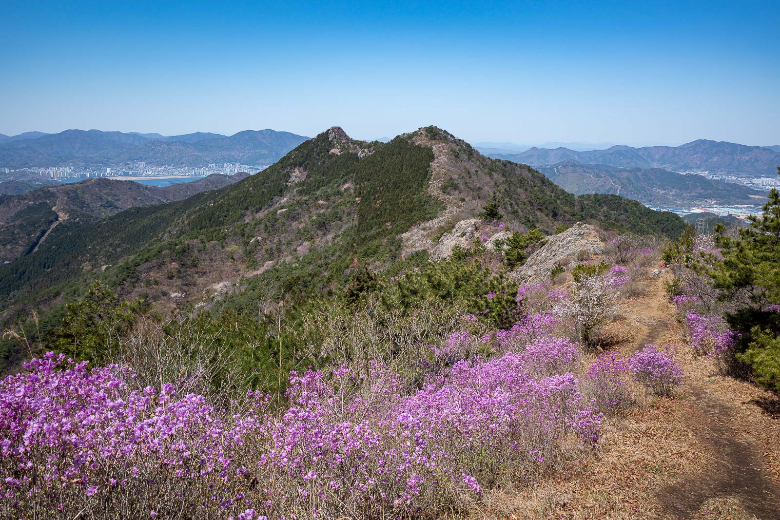
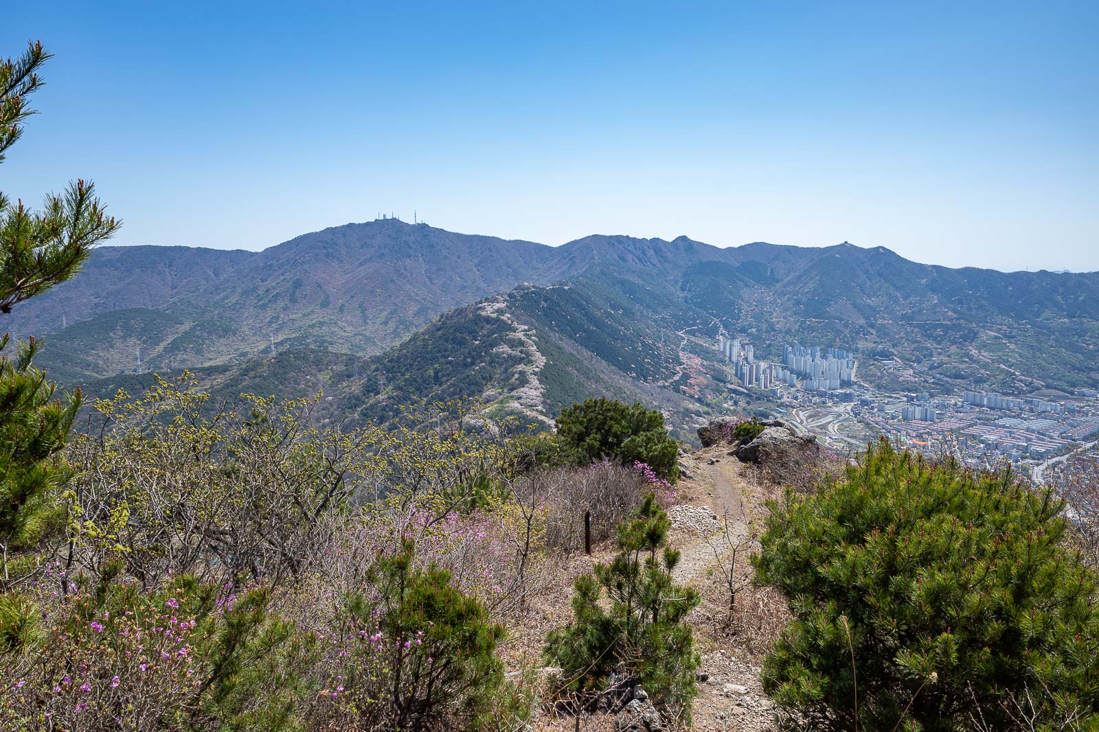
I could have gone down to the left at this point, but I was having so much fun I decided to continue to the next 2 peaks in the distance.
Probably another way down there, I will ignore it and keep going.
That will be my final peak of the day.
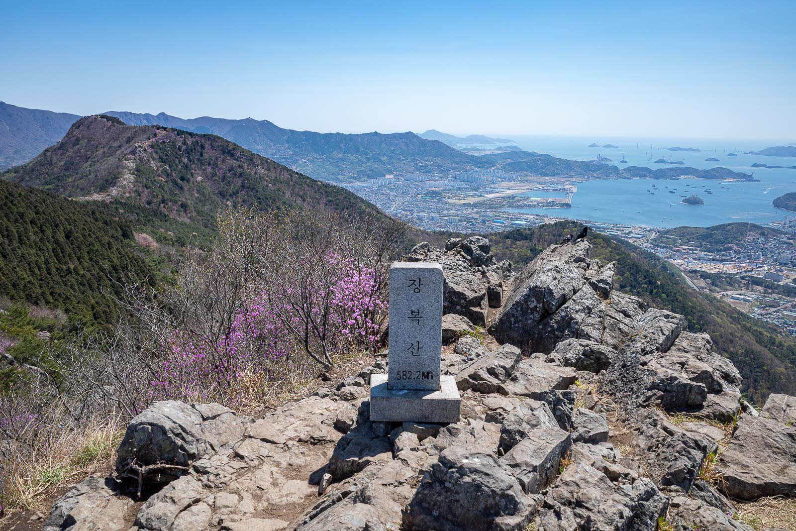
A peak marker, I guess it does have a name, I just don't know what it is.
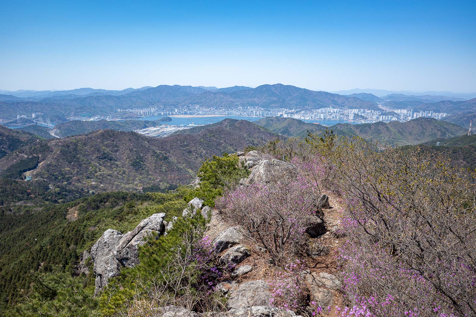
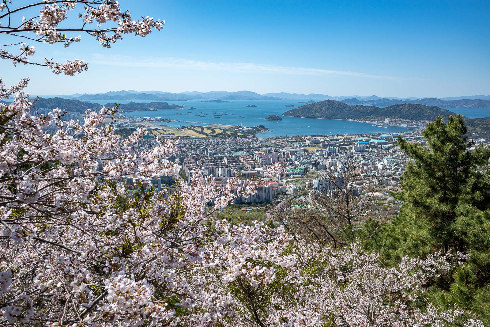
That city area in the distance is the fish market where I was yesterday.
My path down went straight down here. It was hard to follow and very steep.
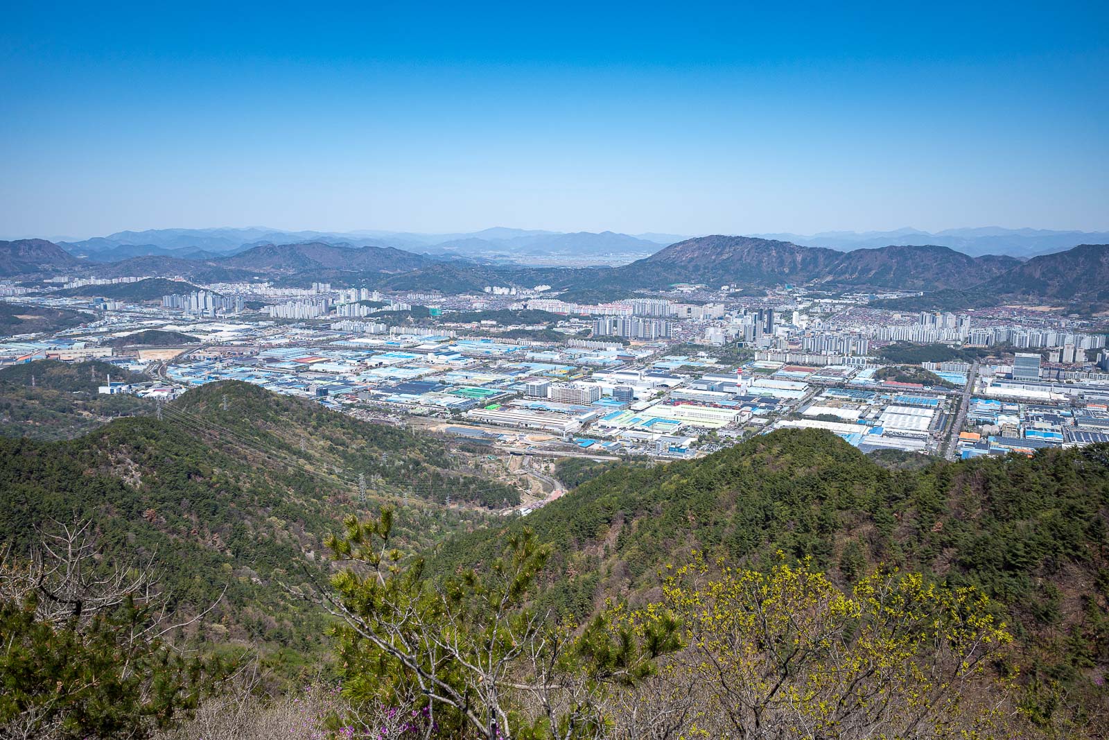
Right before embarking on the steep trail down, I briefly studied the map to see if I should just walk back to Changwon. I decided against it because walking through the industrial area would be boring, and result in too much sun.
So that is what a hike with a clear view looks like in Korea.