10 November 2025
Shrines then surprise danger
Osayama from Kotohira station
Today was a bit of a surprise.
First of all, I took a different train line in each direction, and both the JR line and the private Kotoden line took IC cards, on Shikoku, amazing.
Then I expected to be in kind of in a small town, and then ascend a concrete staircase to a shrine, wander around the top, turn around and come back, without having done too much of a hike.
Well it was a big town, with a huge amount of mostly Japanese tour groups, the walk up to the shrines was indeed a concrete staircase, but then I continued on past the shrines on a poorly maintained somewhat dangerous hiking trail, for hours. It was great.
I also took too many photos, a record for this trip.
So.... we will now do the stats, then a lot of photos, and by we, I mean me -
27,500 steps
15.37km
820m vertical ascent
5 hours and 1 minute
1,198 calories burned - still not enough!
Exiting the station at Kotohira, and I was surprised to find it to be a sizeable city.
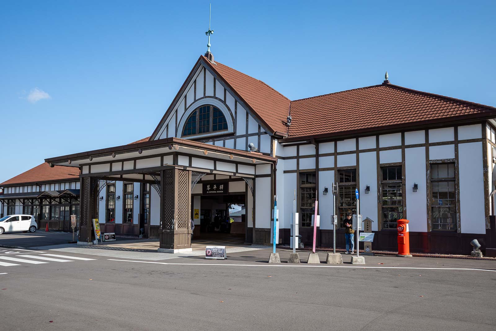
I went to Kotohira on the JR line, here is the station. There is a 7-eleven inside, and I stocked up there, but there is no need as there are numerous other convenience stores around.
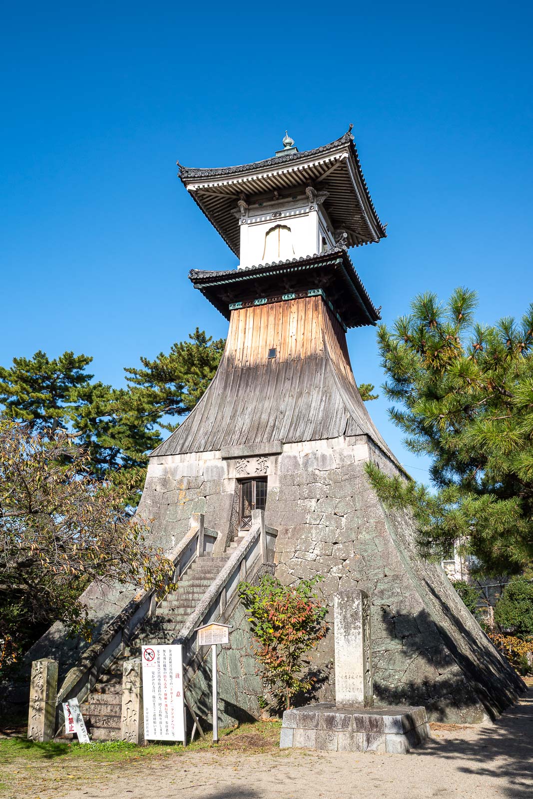
Here is a giant lantern. It is right near the Kotoden station, which I will use to get back to Takamatsu. I do not really understand what this would have lit up when it was used as a lantern.

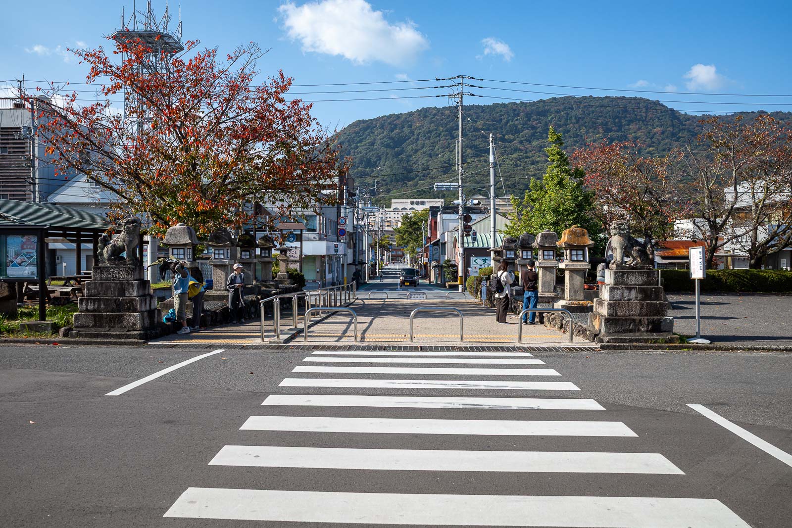
A city with random gates for no reason. There will be a lot of gates today.
Great weather today.
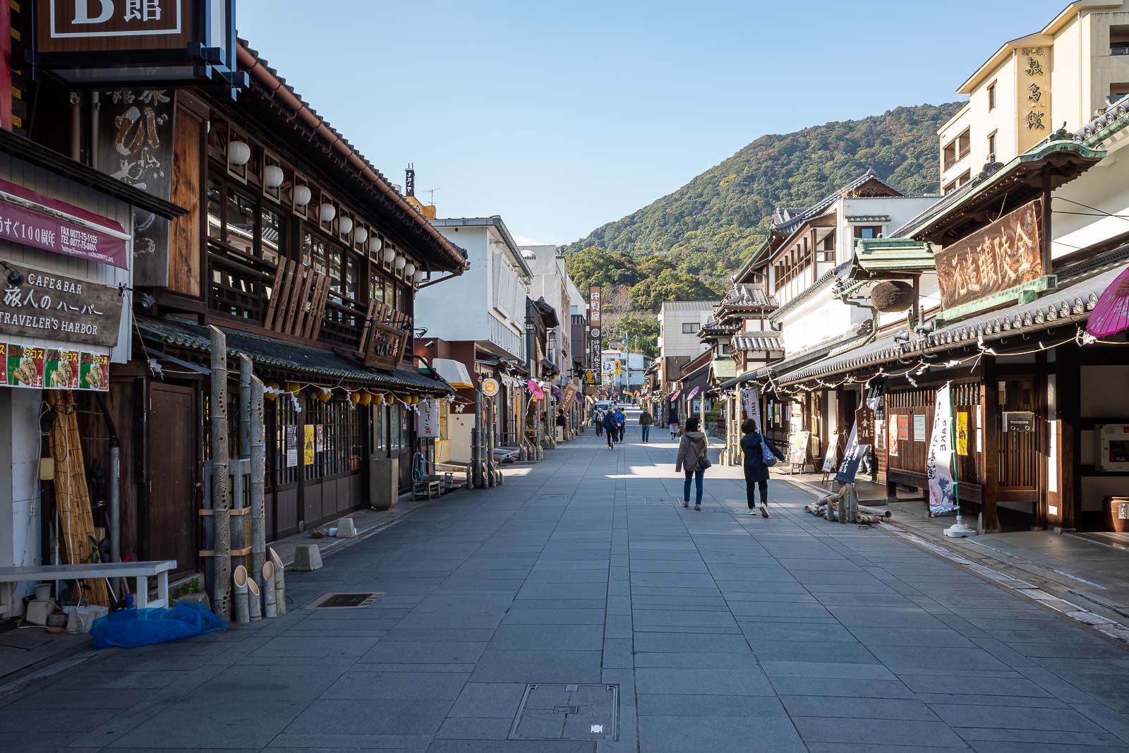
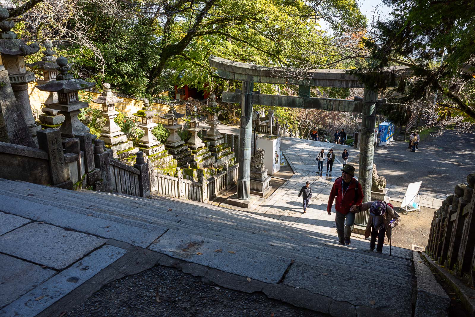
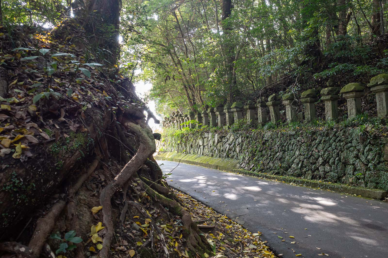
The path up to the start of the staircase is a tourist extravaganza.
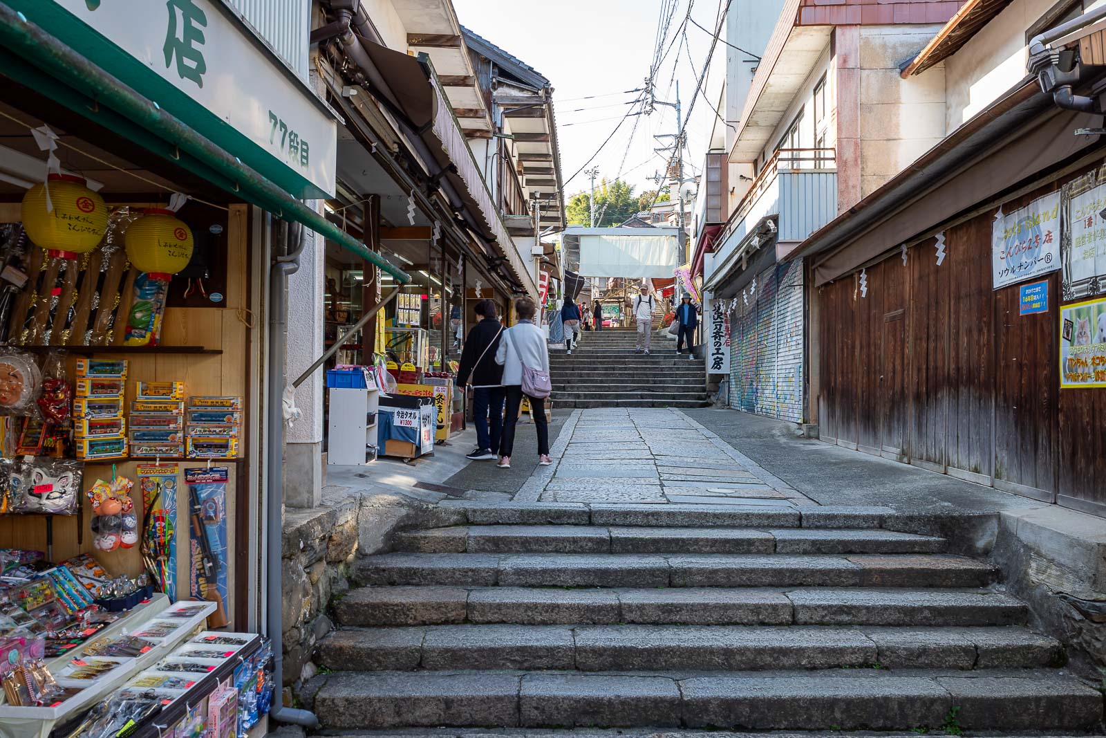
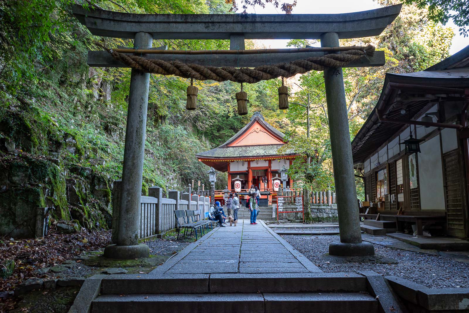
The stairs are a big deal apparently, people buy a stick and get stamps etc. I believe there are several hundred to the top shrine.
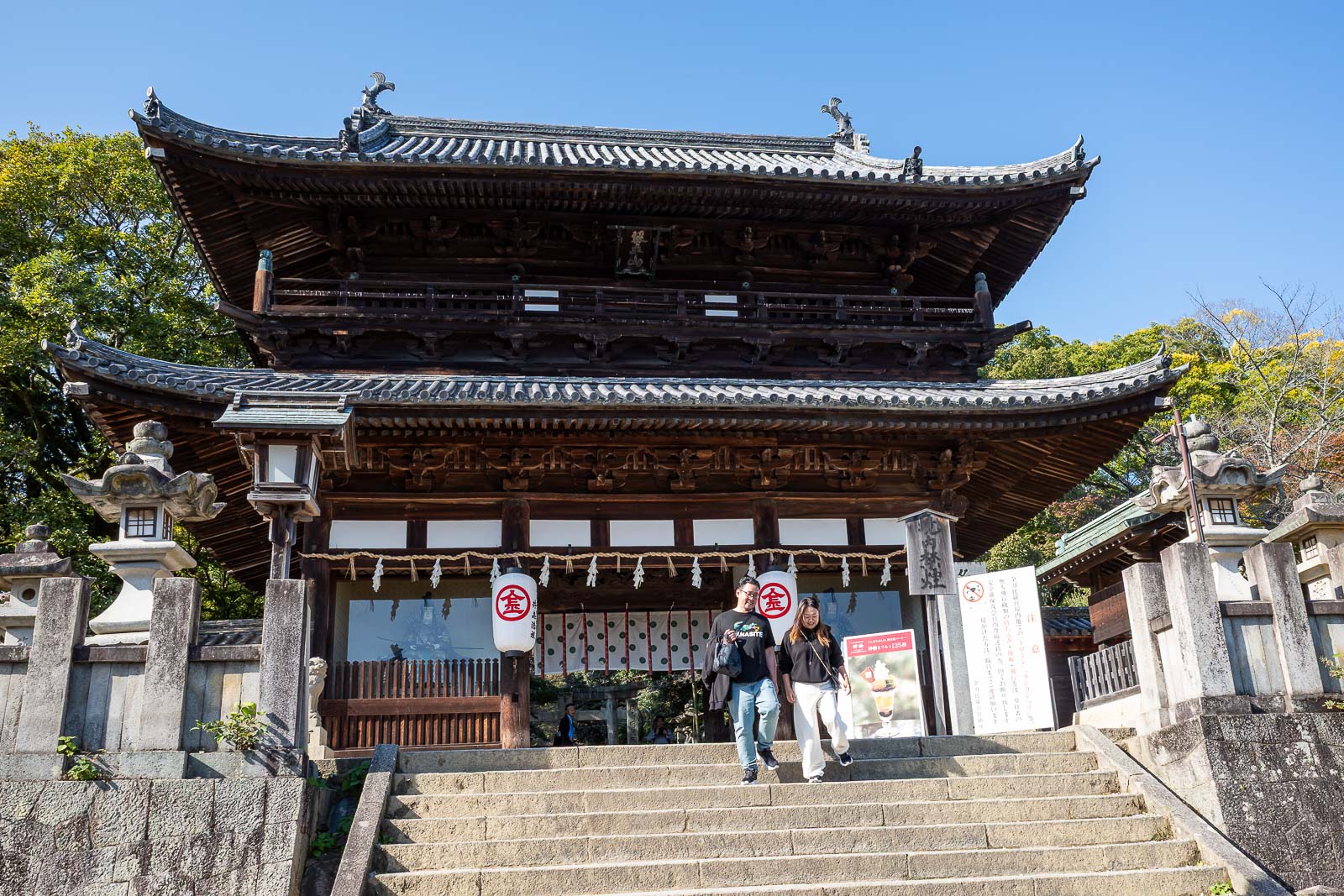
First shrine, well probably not, but first shrine photo.
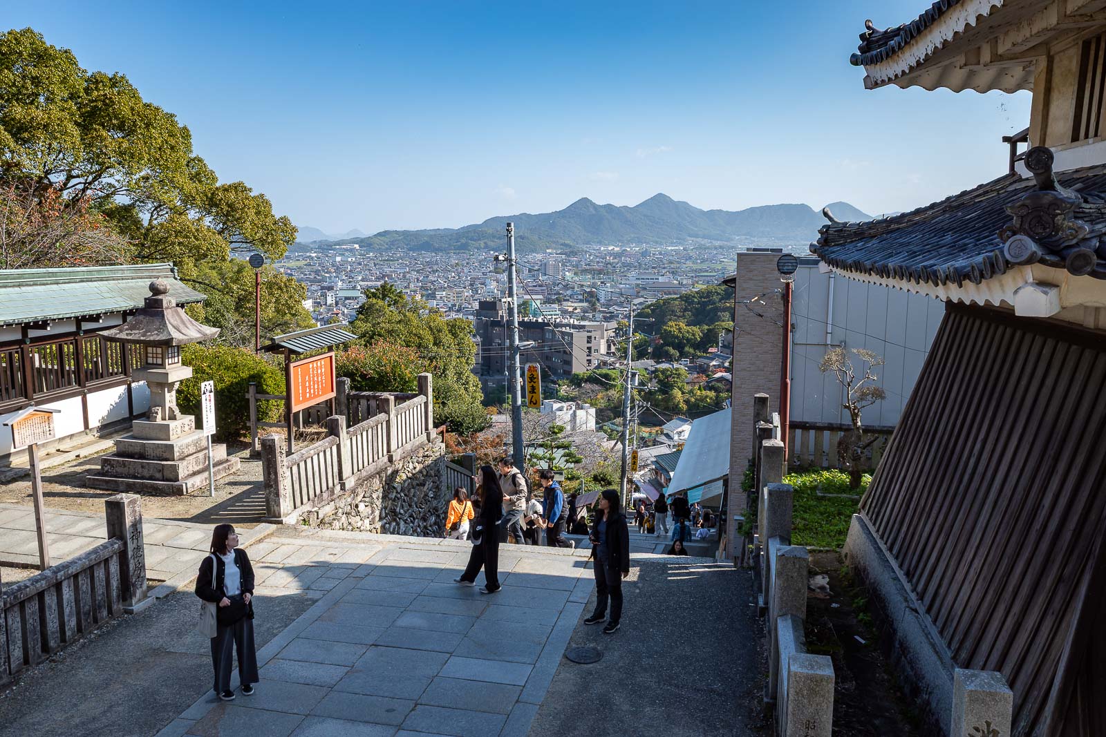
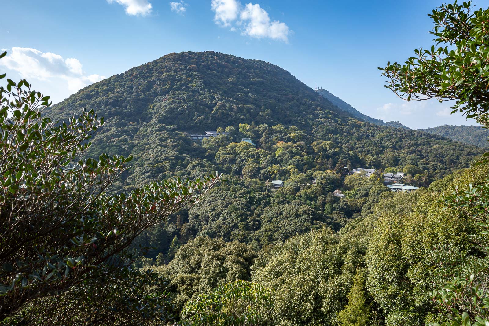
An early view. There will be a lot of views today.

More gates.
There was a mix of ages, but mostly Japanese people as far as I could tell. I am constantly shocked at how unfit younger people are these days. I blame uber and scooters.
I am standing near a public toilet, there are numerous in the shrine areas.
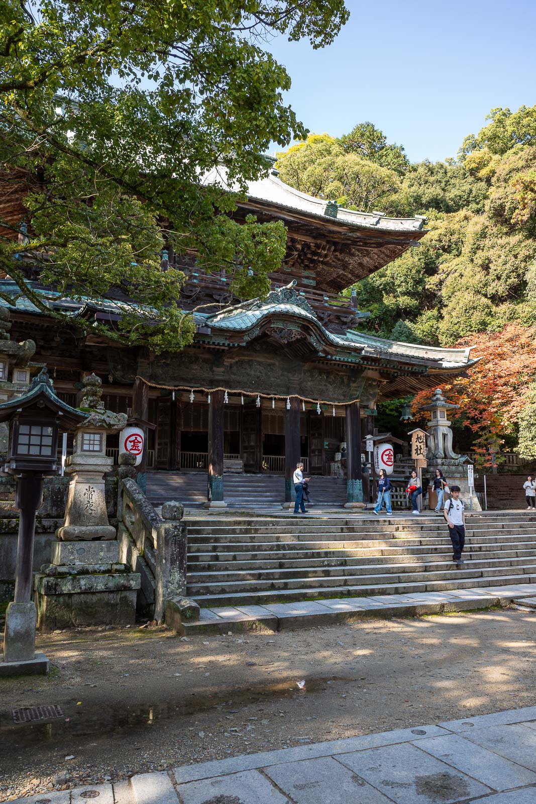
The next shrine was rather difficult to get a clear photo of.
But wait, more shrines. This one was doing a changing of the guard ceremony. That's what it is isn't it?

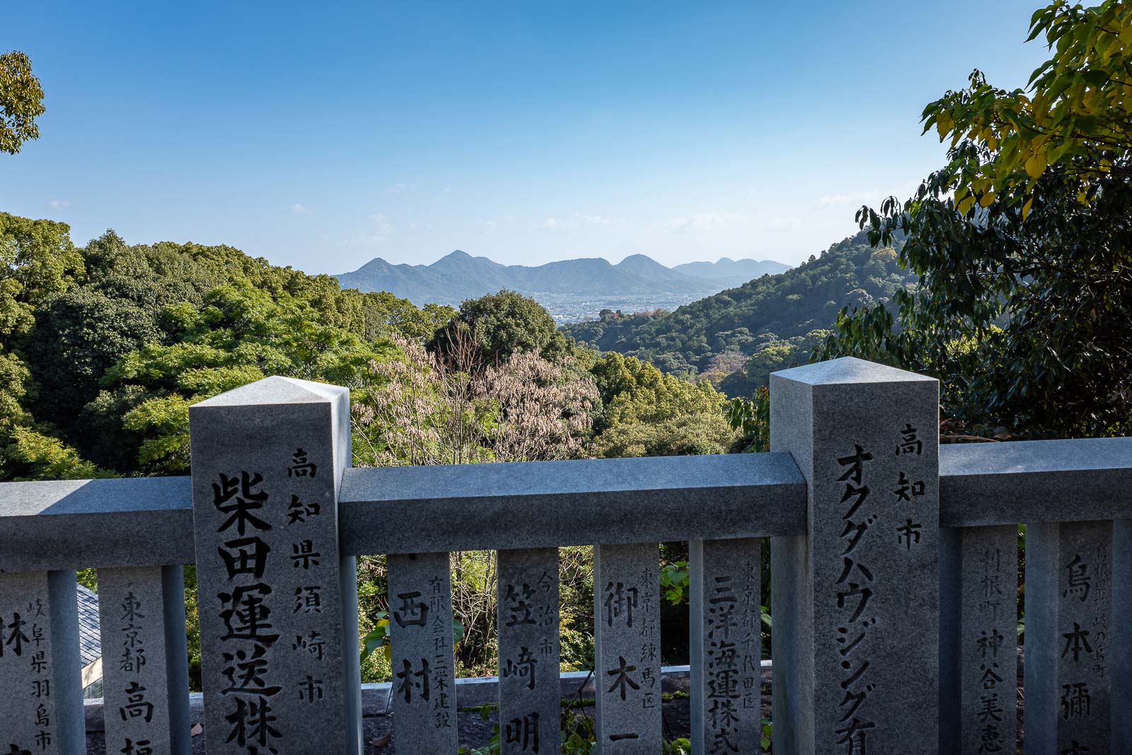
I like those little mountains that stick up in an otherwise dead flat landscape. You will see a lot of these little mountains today.
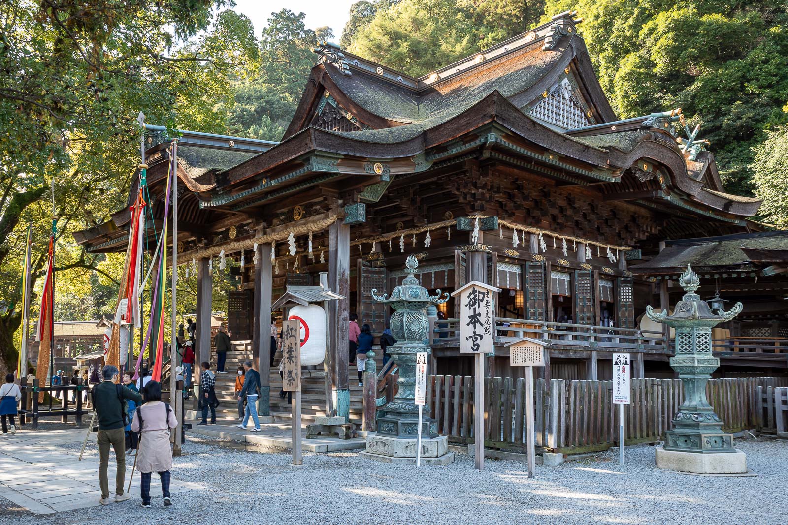
Top shrine. The crowds had already thinned out by now. Finding the actual hiking trail beyond here requires a map or local knowledge. You have to back track slightly, and they have hidden it, there is just one small hand drawn sign. Yamap is your best bet, I needed it today.
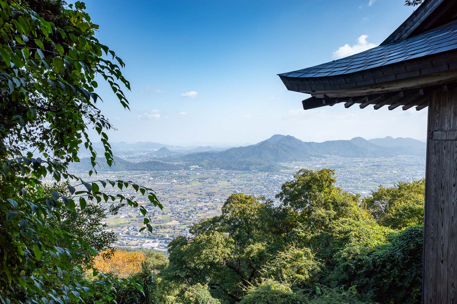
OK, one more view before I leave the concrete stair cases and shrines behind.
A view from the hiking trail, but soon, dark forest.
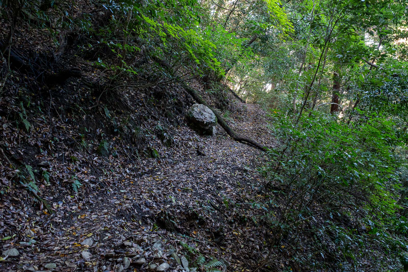
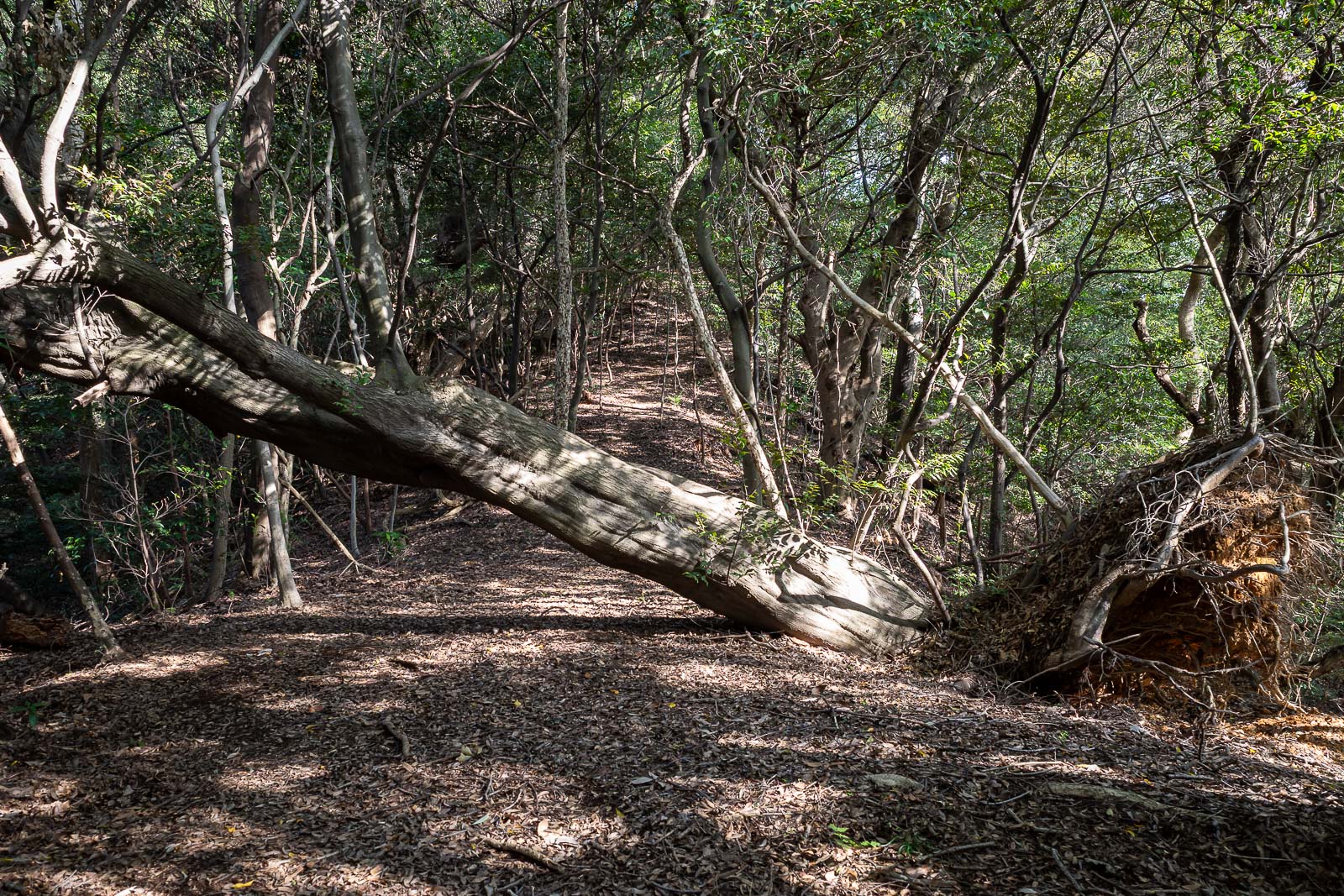
At first, after a landslide enforced roped detour, the trail was well defined.
It even came to this nice area with seats and what the map claims is a waterfall.
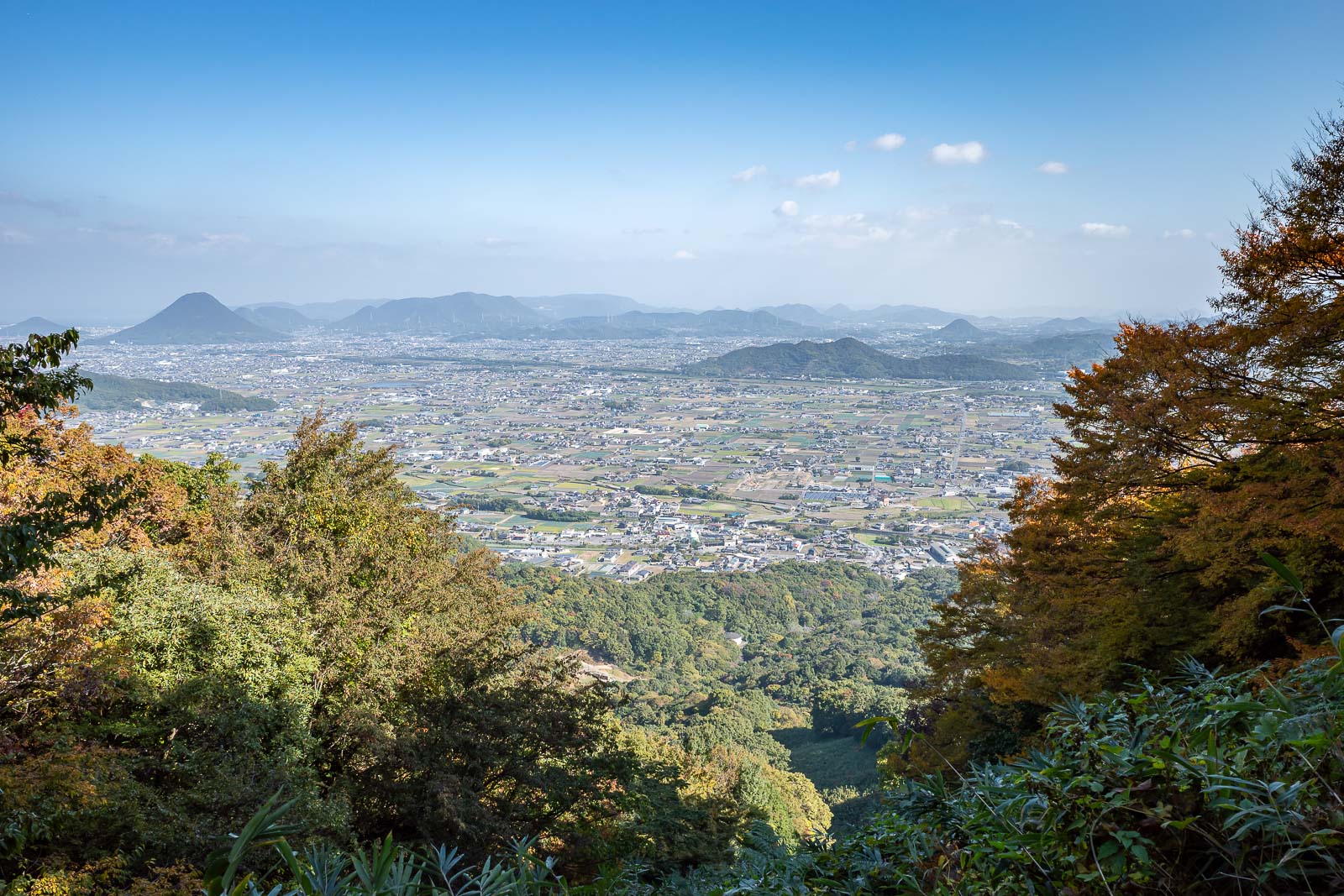
More view from a gap in the forest on the side of a steep mountain.
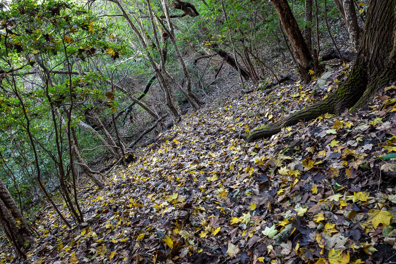
I cannot really convey it properly in photos, but large sections of this trail were on a 45 degree angle to the hill, muddy and slippery, with my outside foot constantly sliding a bit, and the risk of falling and sliding down a muddy hill.
I was relieved to leave the dangerous part of the trail behind me (for now!) and emerge at a road at the far end of the mountain range.
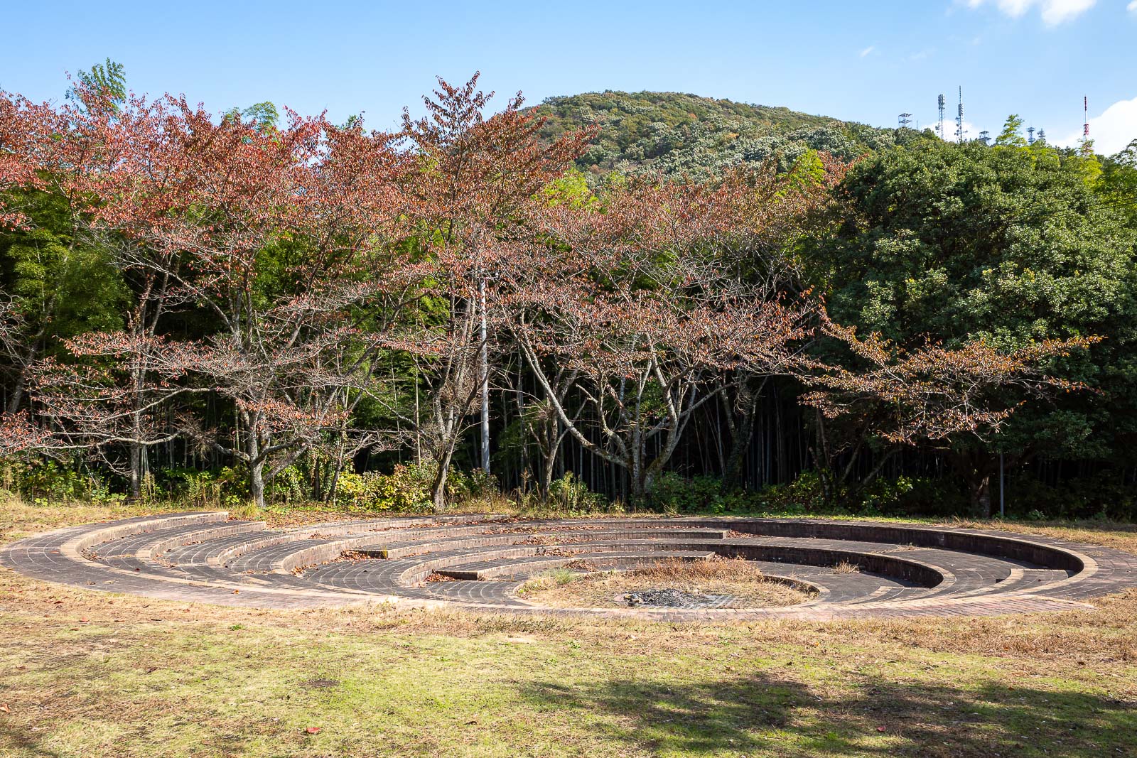
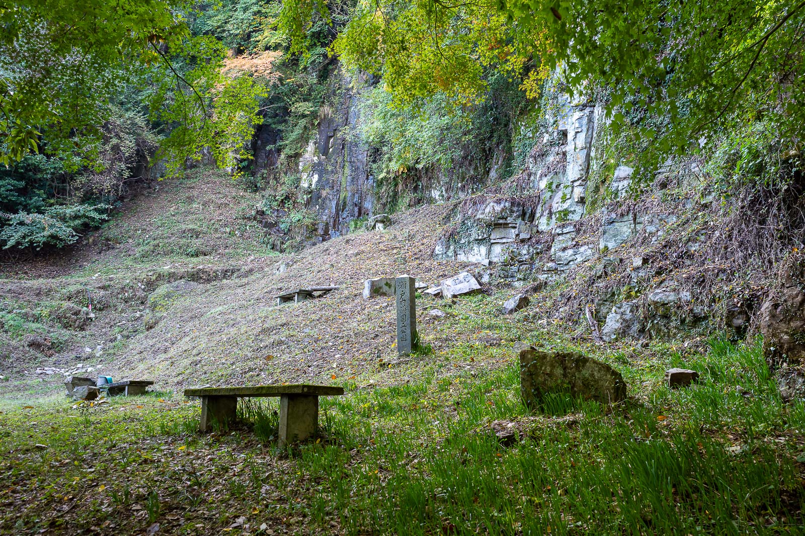
Looks like some kind of sacrificial altar, but according to the map, it is a camping area.
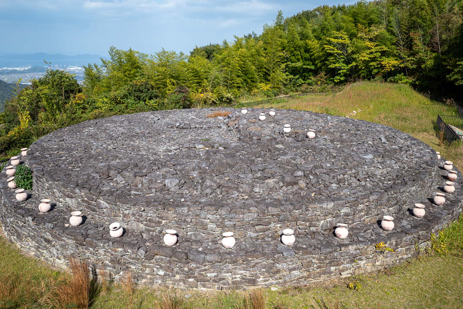
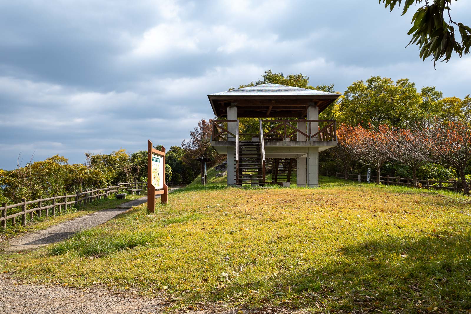
Except... this is an ancient tomb. I have never seen anything like it before. The sign showed ancient half naked Japanese people dressed like Egyptians.
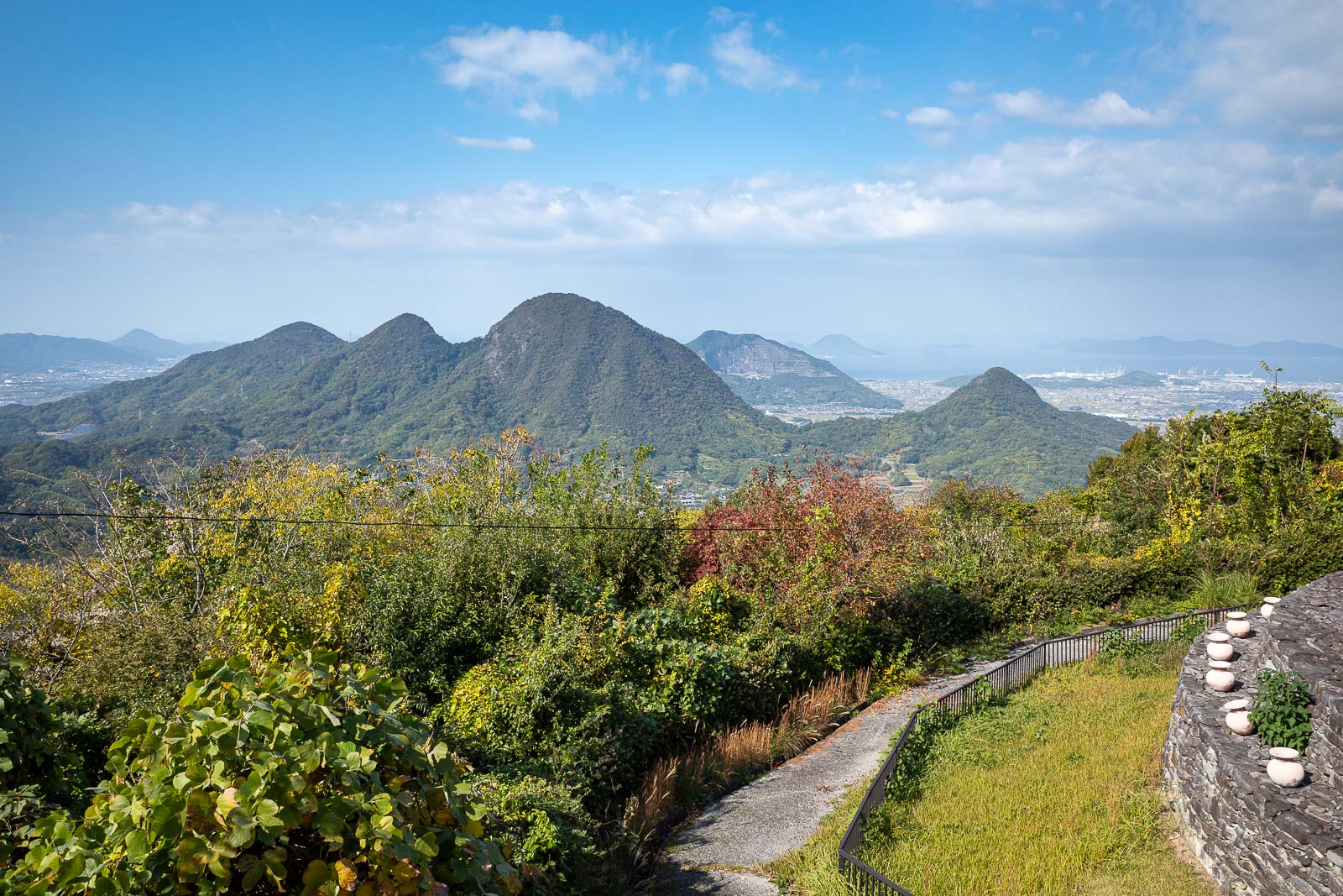
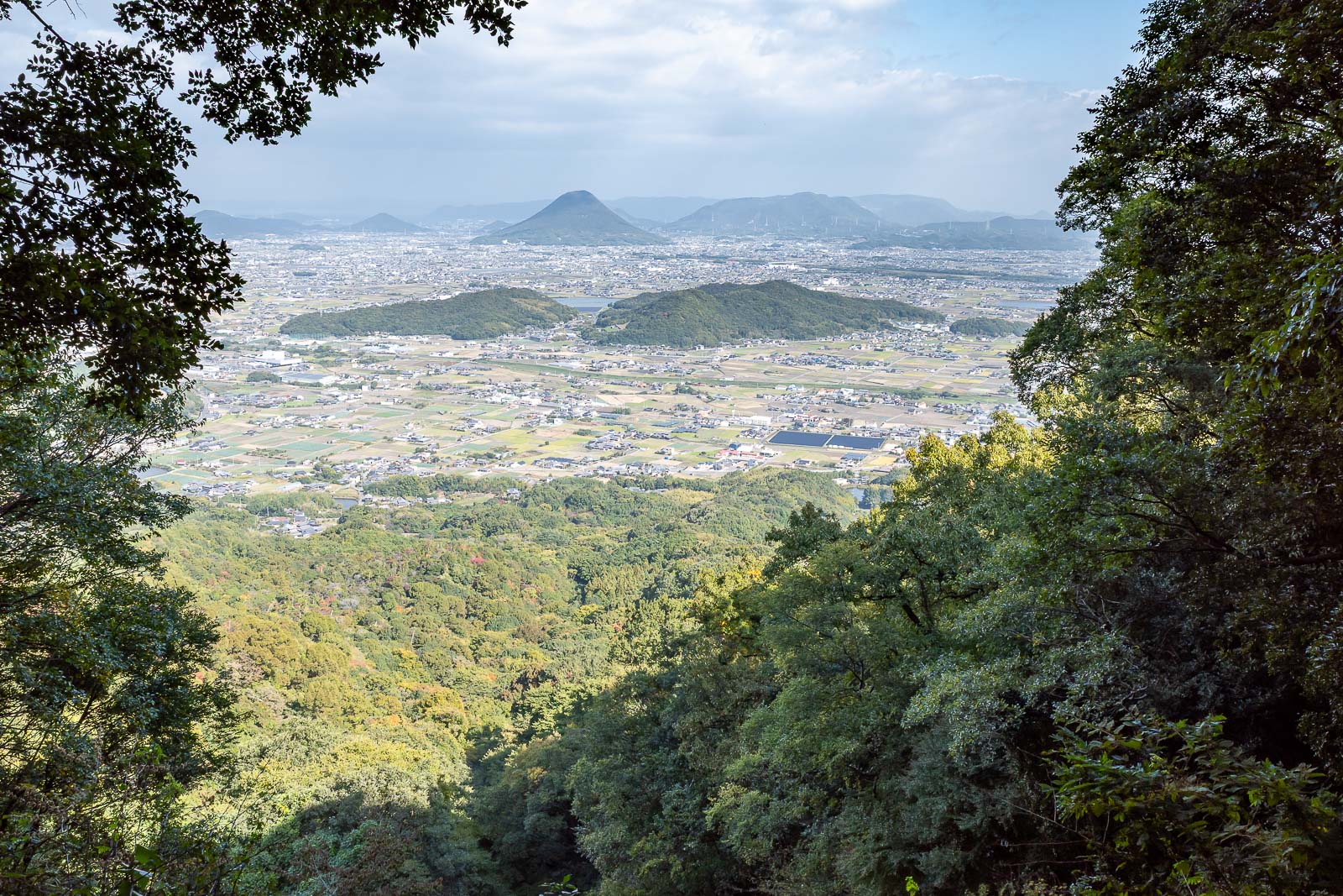
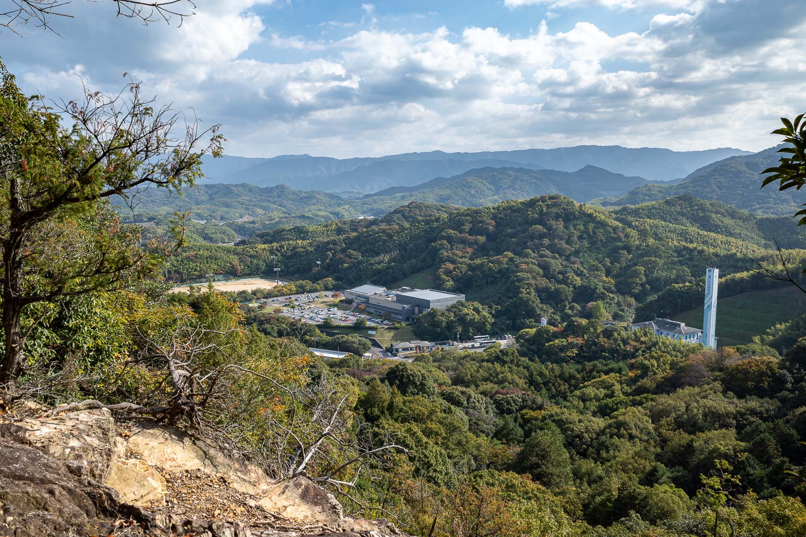
There is a viewing platform for the tomb, but the view of the mountains below is also great, mildly spoiled by the wire.
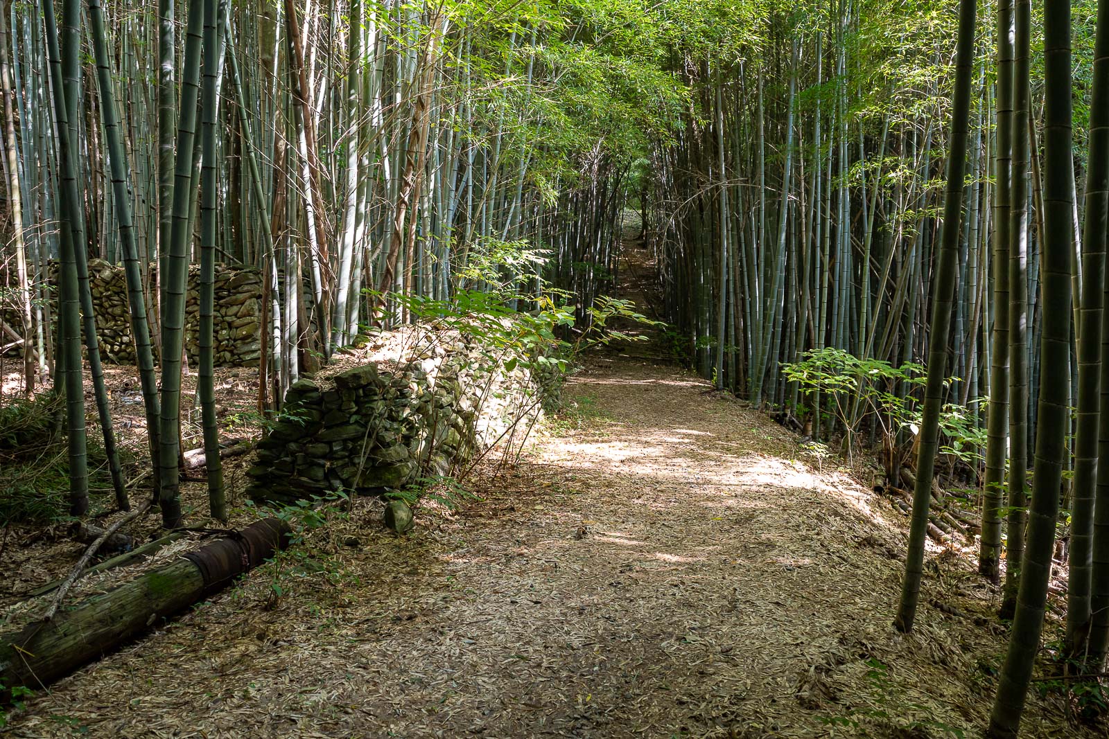
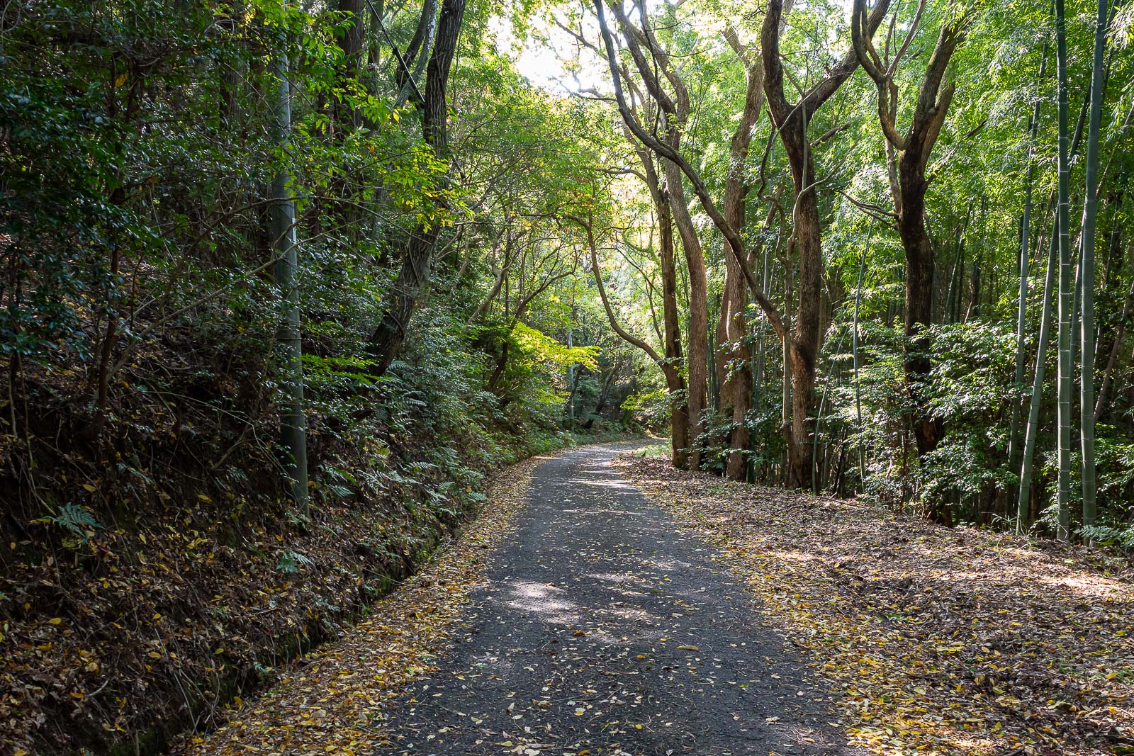
My path then took me back through some bamboo, with ancient walls hidden within. I will now head up the central ridge of the mountain range.

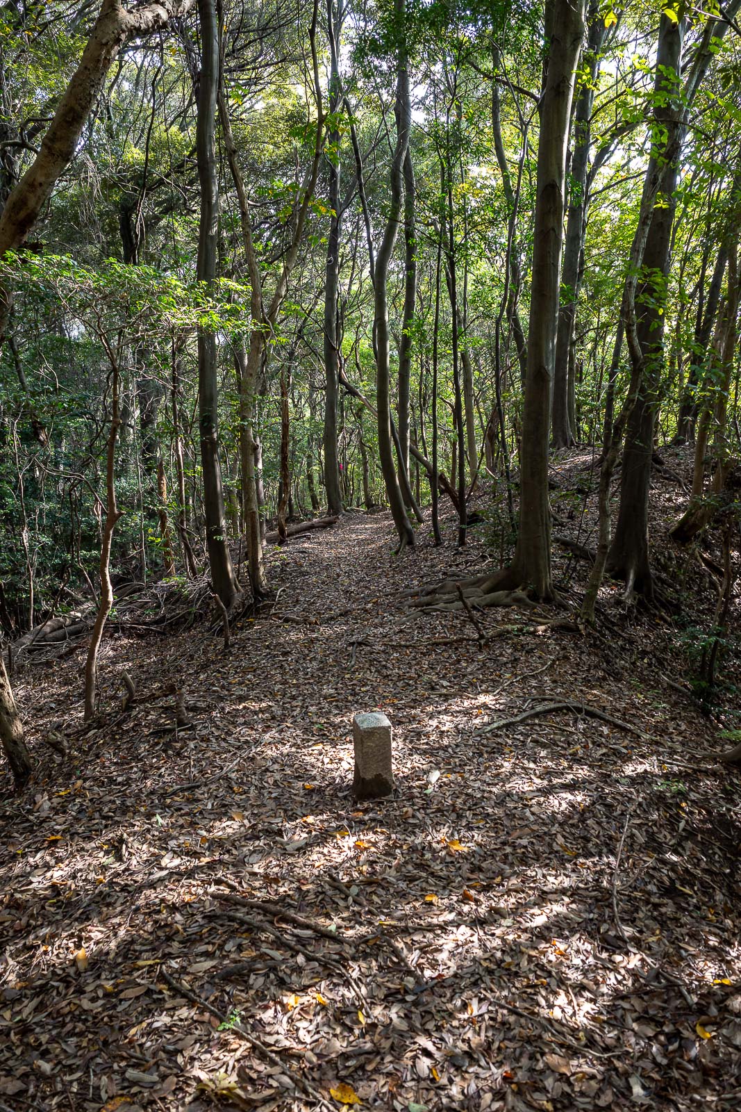
Nearer the top the trail became more of a garden path.
Here is the top. No other people. And I saw almost no one beyond the shrine stairs all day.
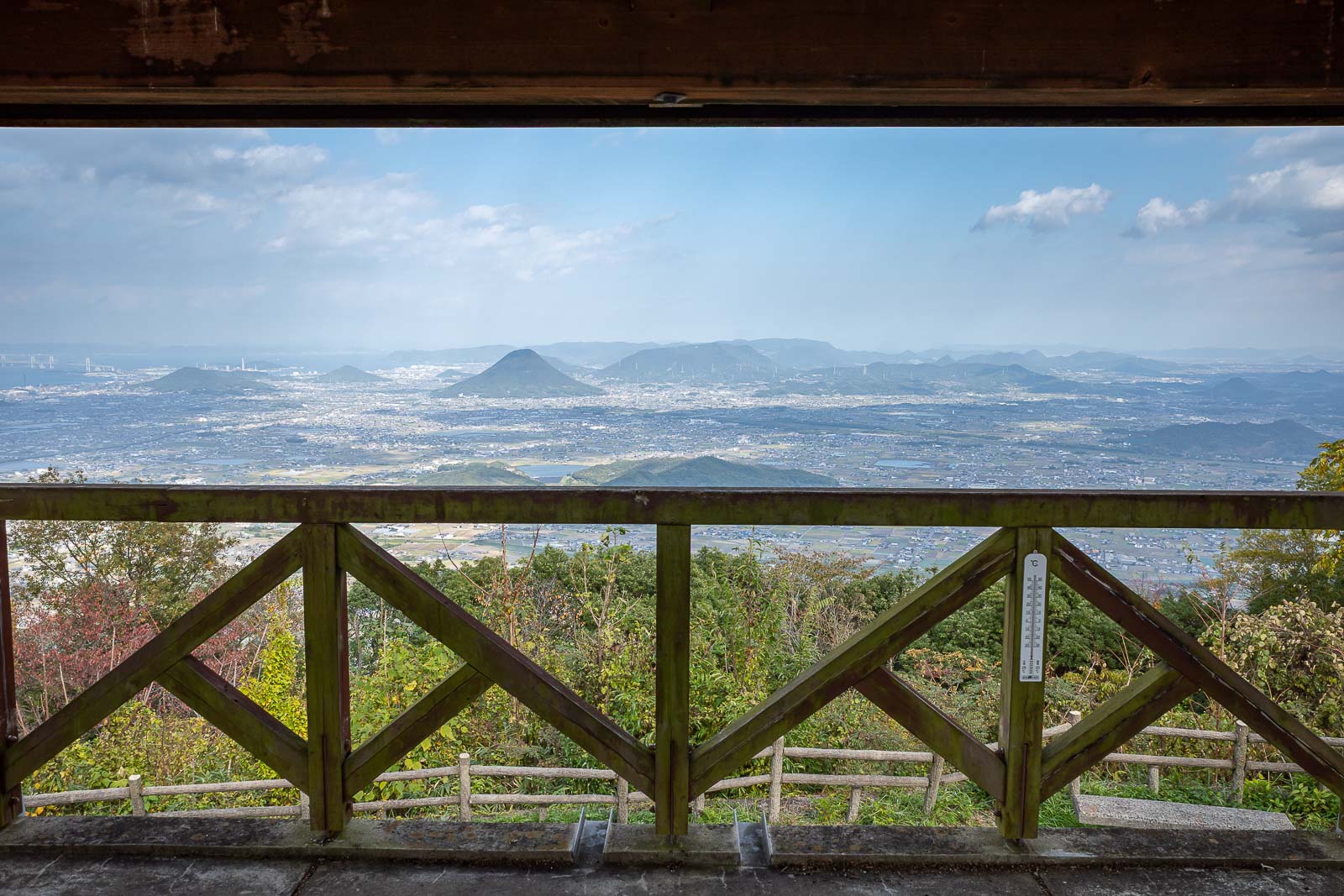
The view from the top, with a bit of the viewing platform.
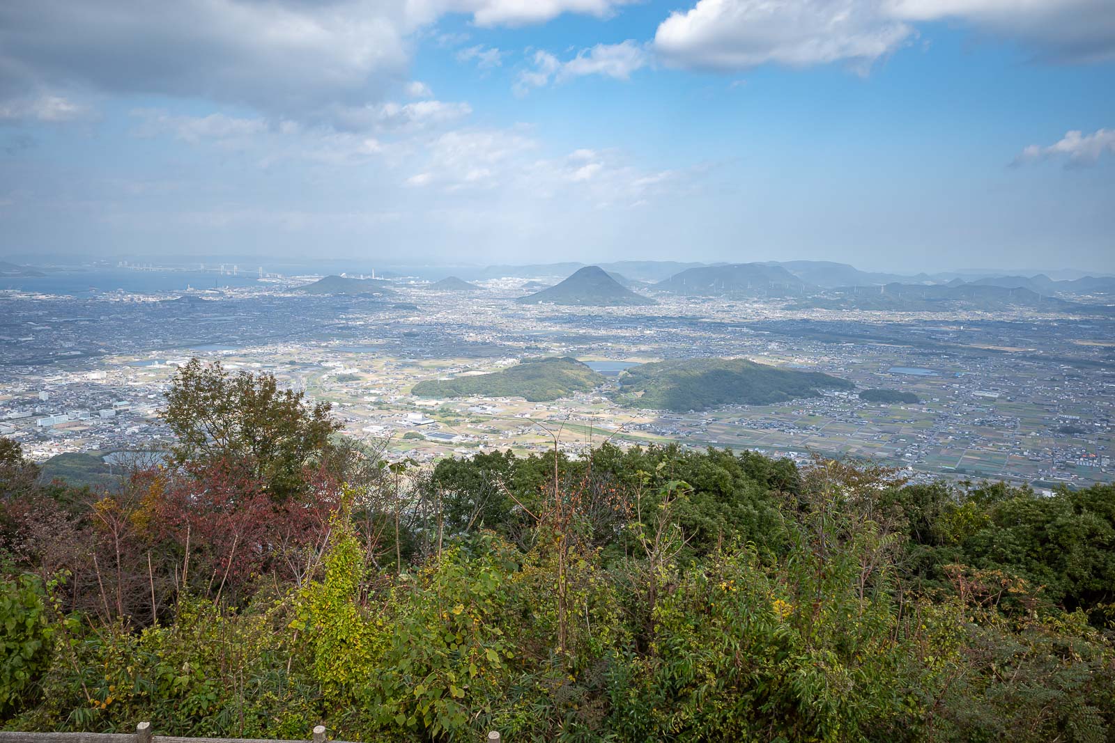
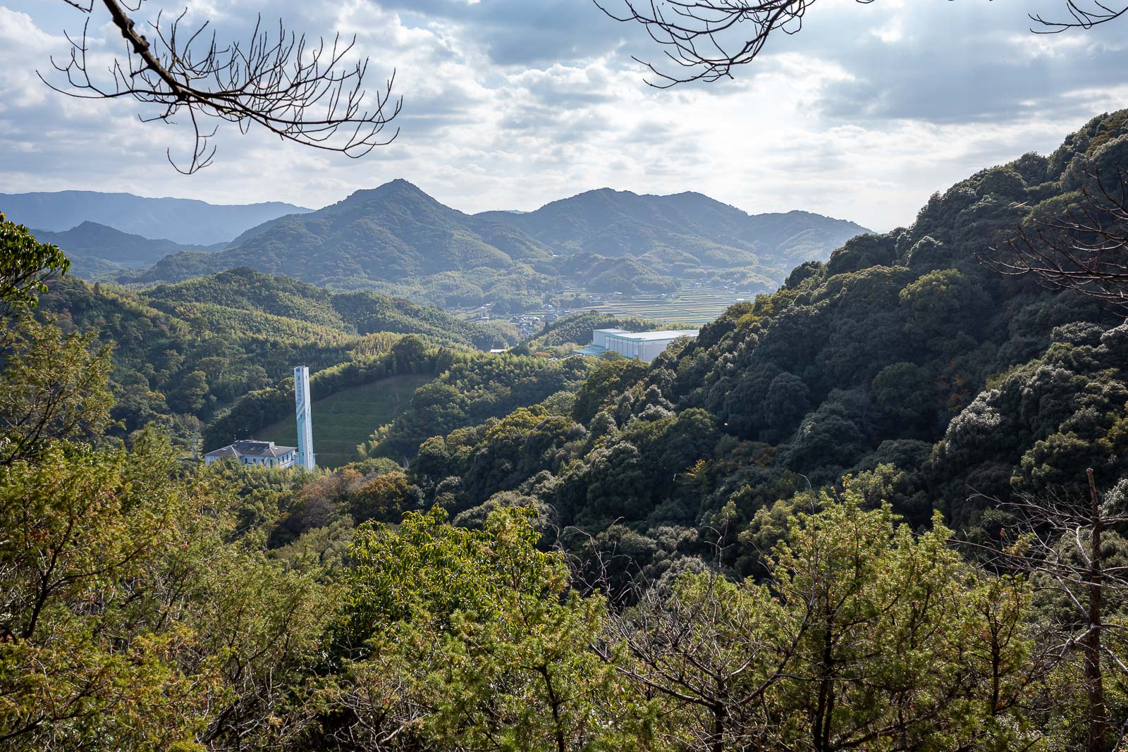
Same view, no viewing platform. The light was not great in this direction, also a lot of smoke.
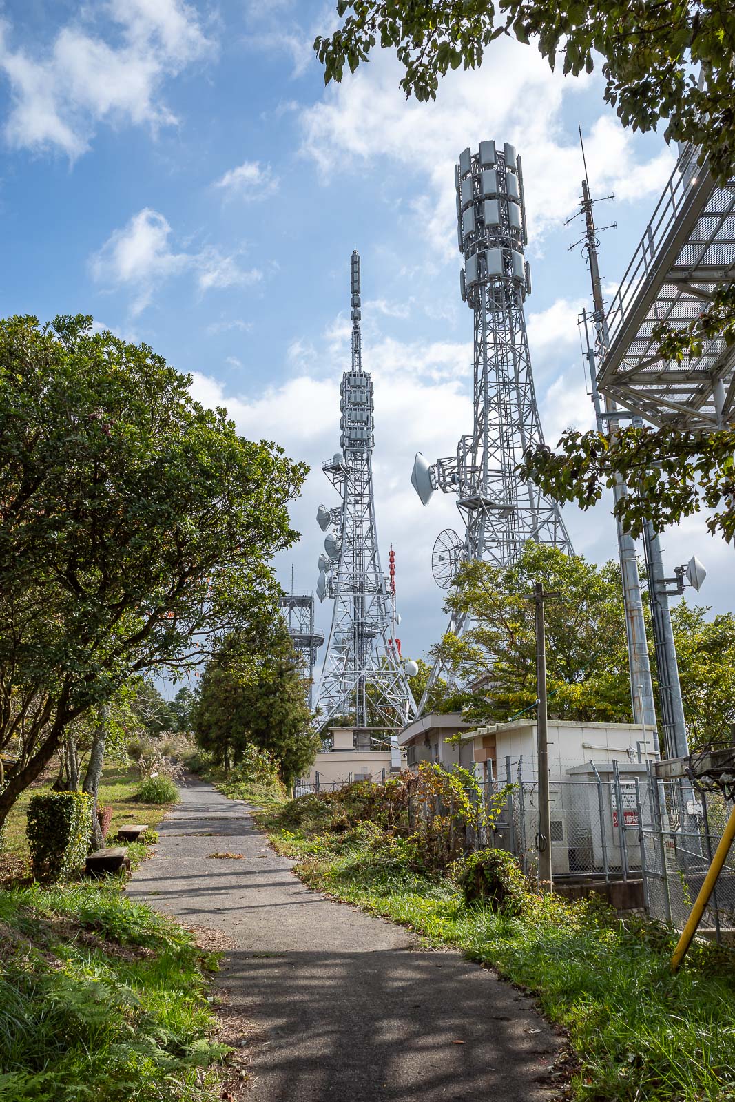
Right at the top is the usual array of communications equipment, and a road. There was a giant fence with barbed wire on this road, more so than usual.
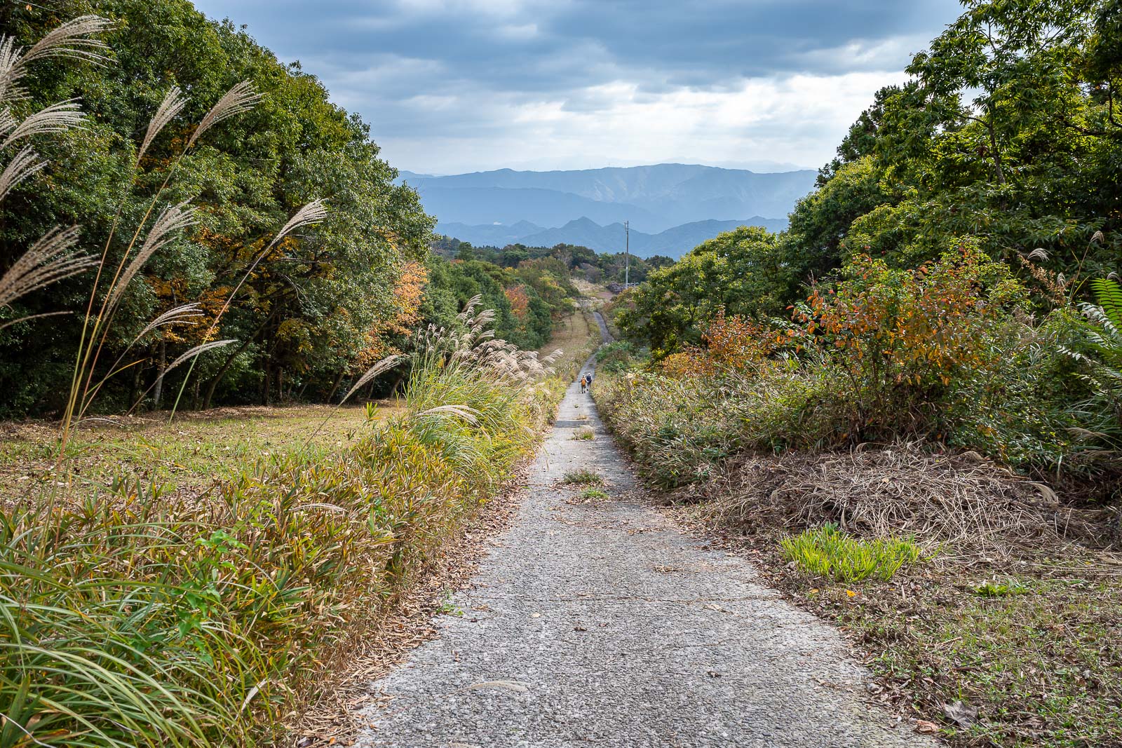
The start of the way down was also a road, quite unusual, a cleared area on the left of the road. Also here you can see the only 2 other people I saw all day.

Weird how they cleared this area for seemingly no reason.
Eventually the concrete road became more of a 4wd track. Fast progress along here though.
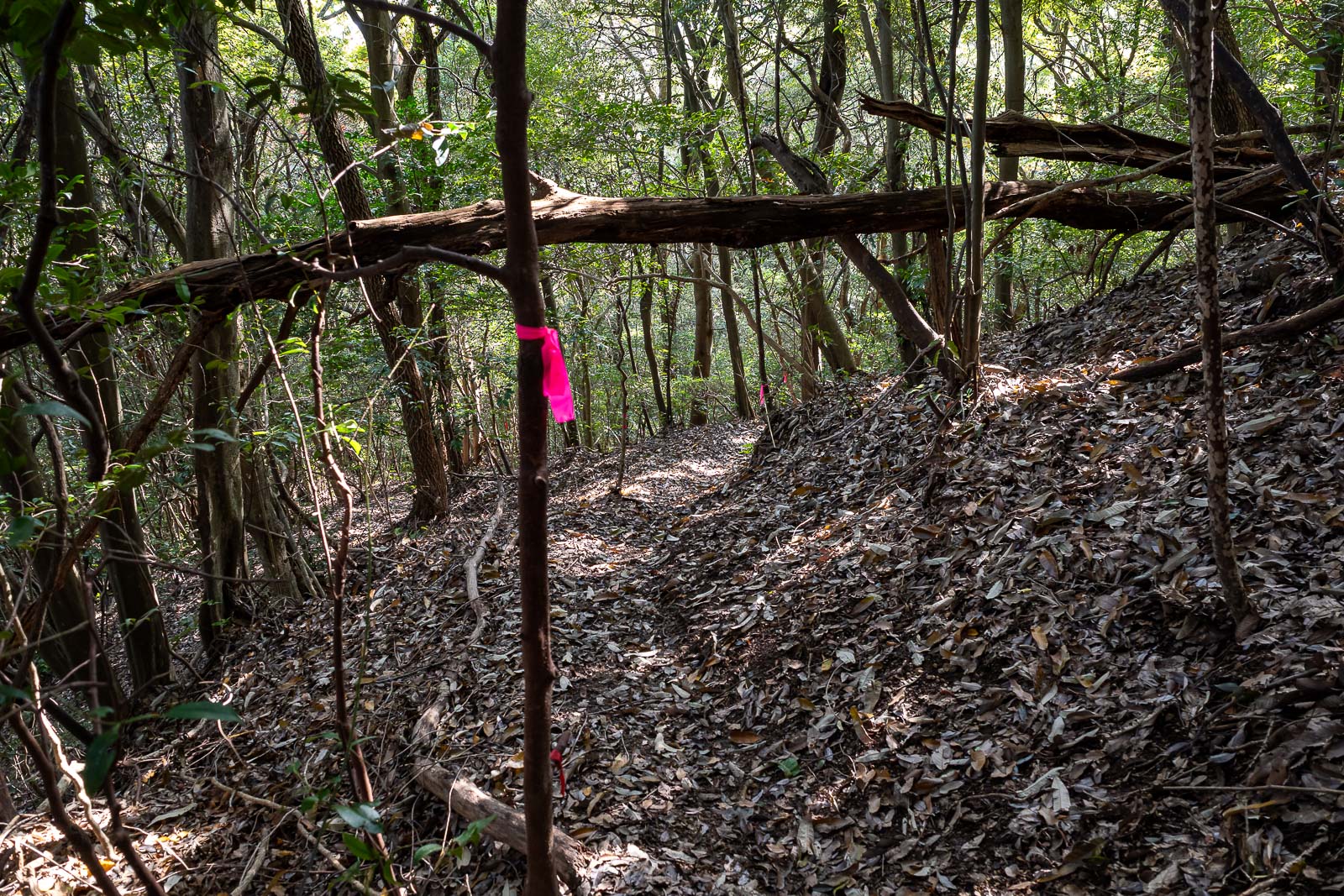
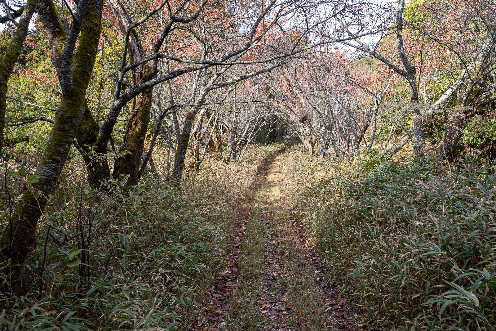
But then I was back on muddy slippery poorly marked trails, follow the pink ribbons.
It was a long descent, with a lot of hanging onto trunks and half sliding down. I was happy to get to this point.
Then I crossed another road and...
Time to go back up again. However this bit of the trail was a lot less muddy.
Nice view in a different direction. I saw pigs near here! Apparently they are dangerous but they seemed quite small to me. I urinated here to assert dominance.
Nice clouds and view.
That is the mountain I half slid down following pink ribbons.
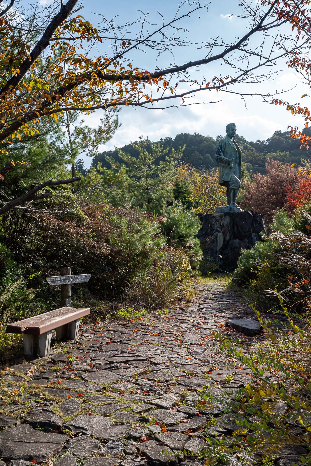
Almost at the end, and it is a giant statue.
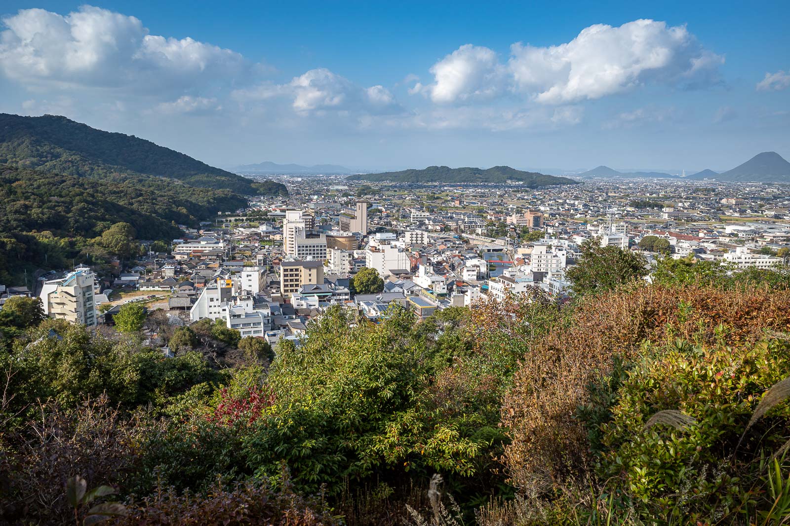
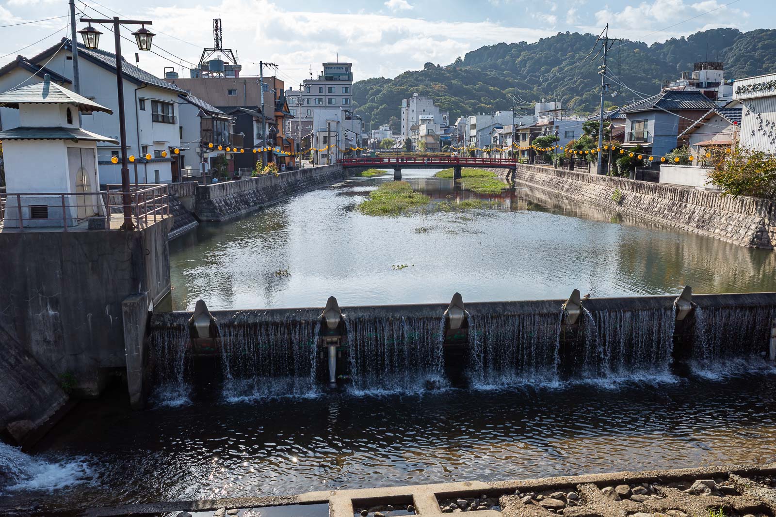
Behold, the rather large city of Kotohira.
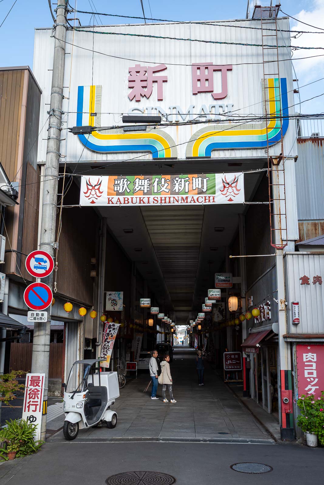
It even has a small Shotengei.
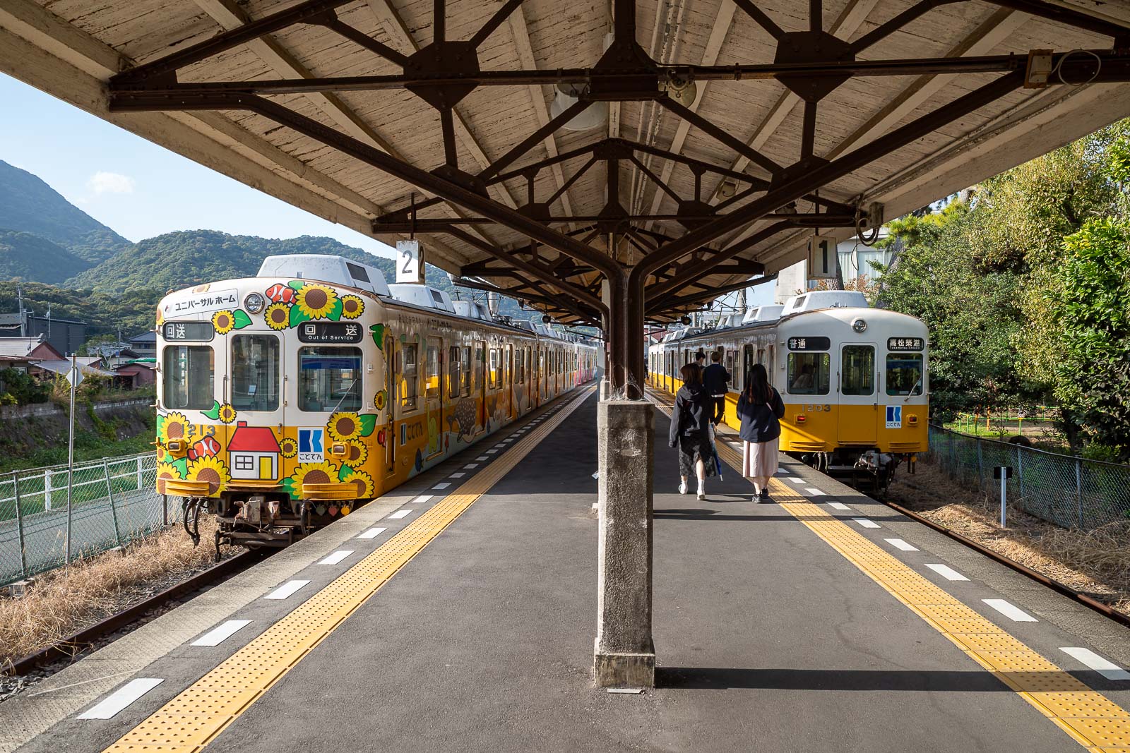
I ran through the city to make this train on the private Kotoden line, made it with 5 minutes to spare. Although trains to here are at least every 30 minutes, so it would not have been much of a wait. The ride back was an hour.
It took me ages to type all this nonsense about all these photos, so there probably won't be too many more tonight!