15 November 2025
Bear mountain
Kumayama from Imbe to Kumayama station
Another great hike today. More great weather. Today's mountain literally translates to bear mountain. I saw no bears. I also saw no other people other than on the summit shrine area that you can drive to. This was very surprising as it is a Saturday.
The trail was great, the first half had spiders, the second did not. Lots of excellent views that I shall attempt to describe below.
Now for the stats -
28,500 steps
16.44km
1,492 calories - first half was hard
940m vertical ascent - felt like more
5 hours 23 minutes
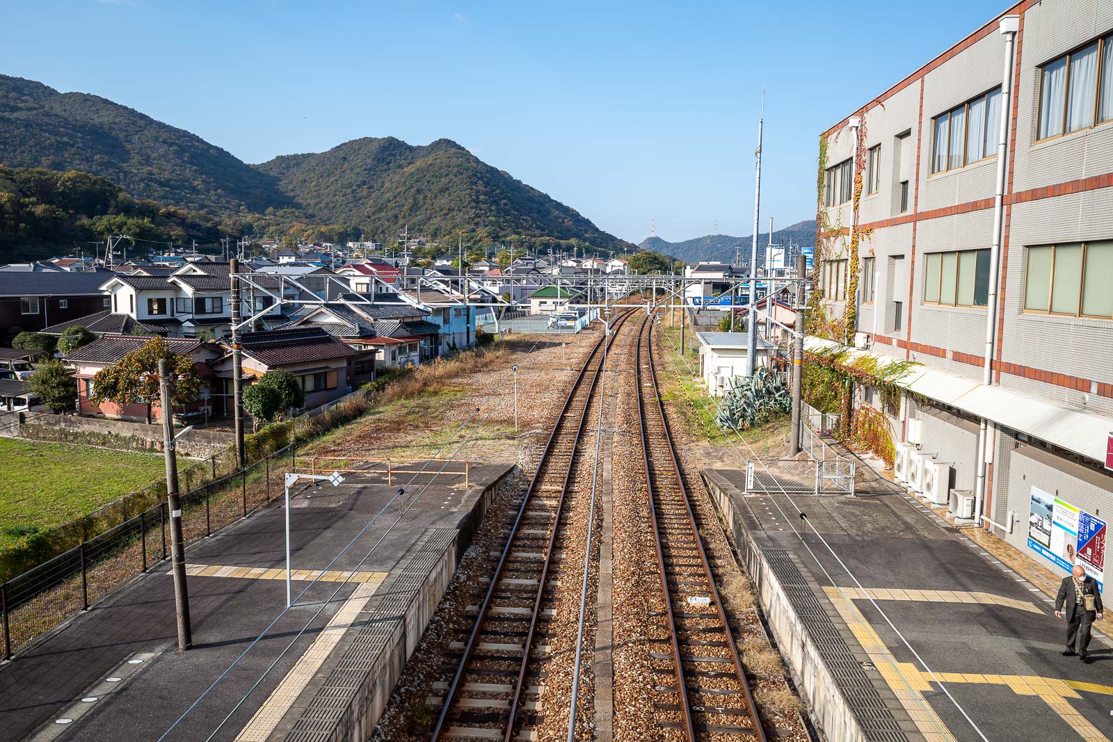
Here is Imbe station. Only 30 minutes from Okayama. There are 2 convenience stores nearby.
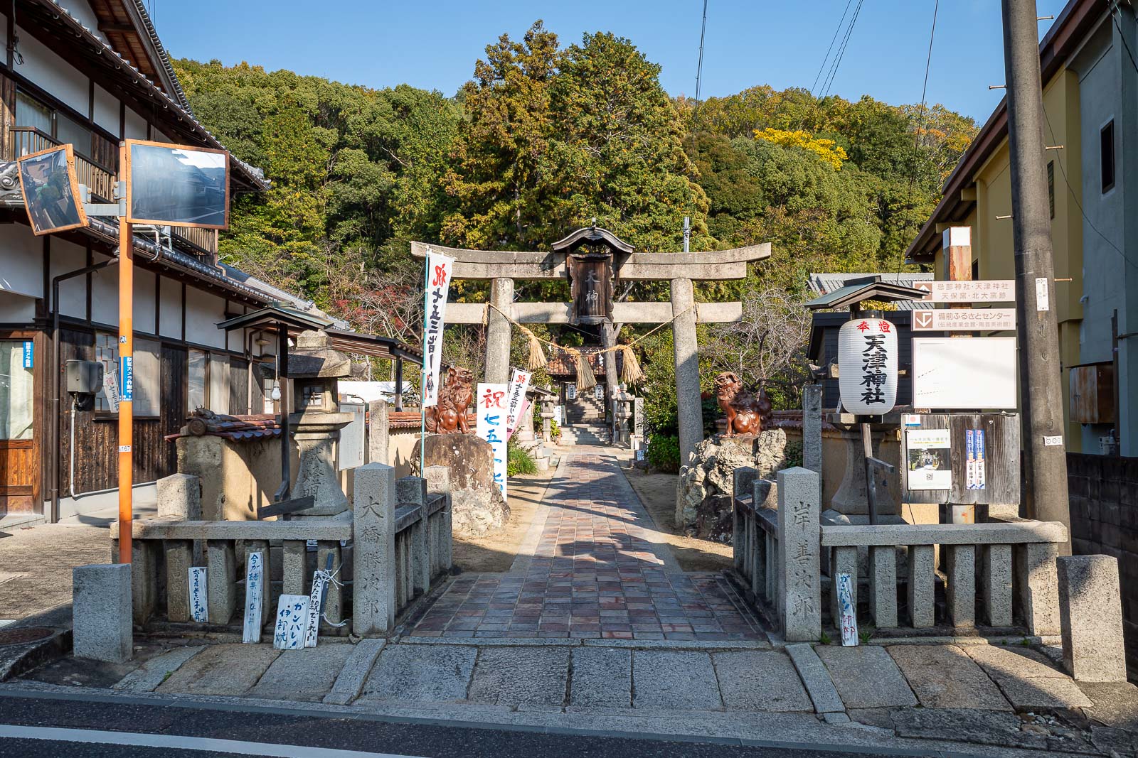
The start of the trail I used is very close to the station, right behind this little shrine area. Between the station and the shrine is a street filled with pottery shops.
Immediate views, immediate blinding sunshine. Also smoke.
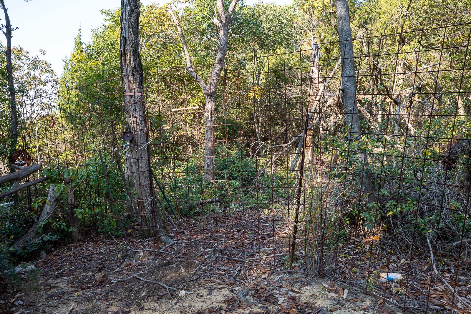
A few hundred metres in is this fence. I guess it is to keep wild pigs out. You can untie the cables and let yourself through. I double checked my map which has a heat map of recent activity to make sure people go through the gate at this spot, they do.
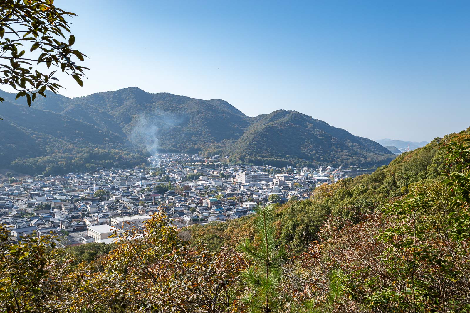
Low down view was already good.
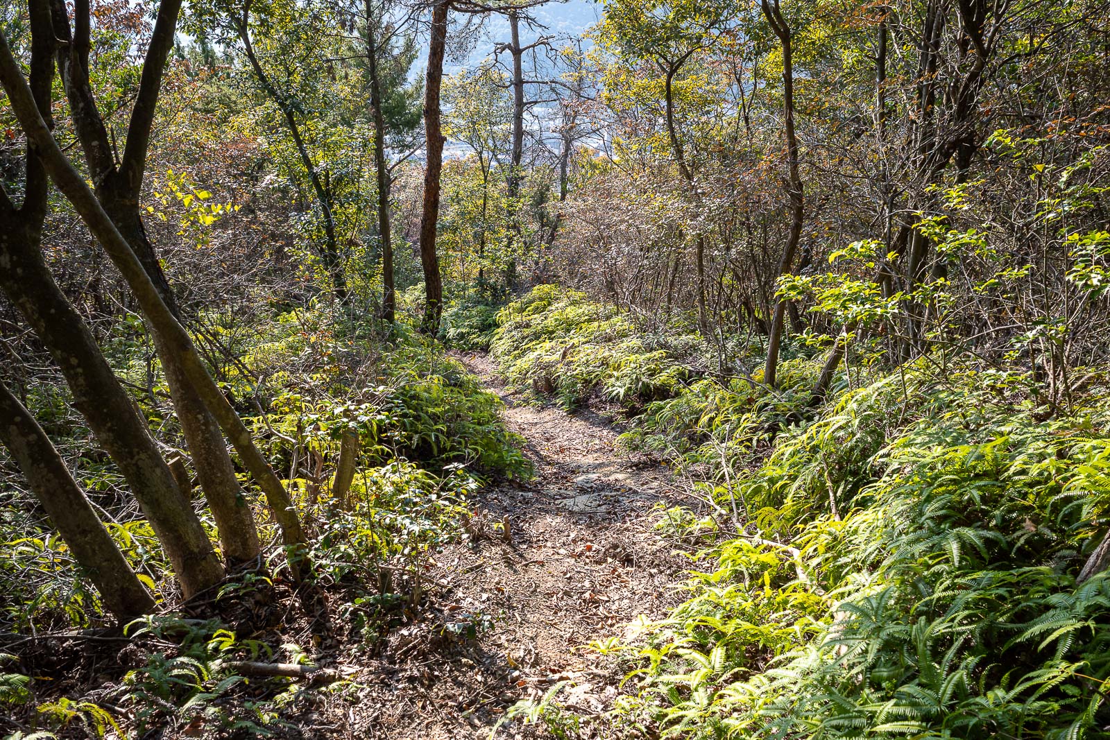
Looking back down towards the town along the wonderful but very lonely and spider filled ferny path. I knocked at least 10 spiders down.
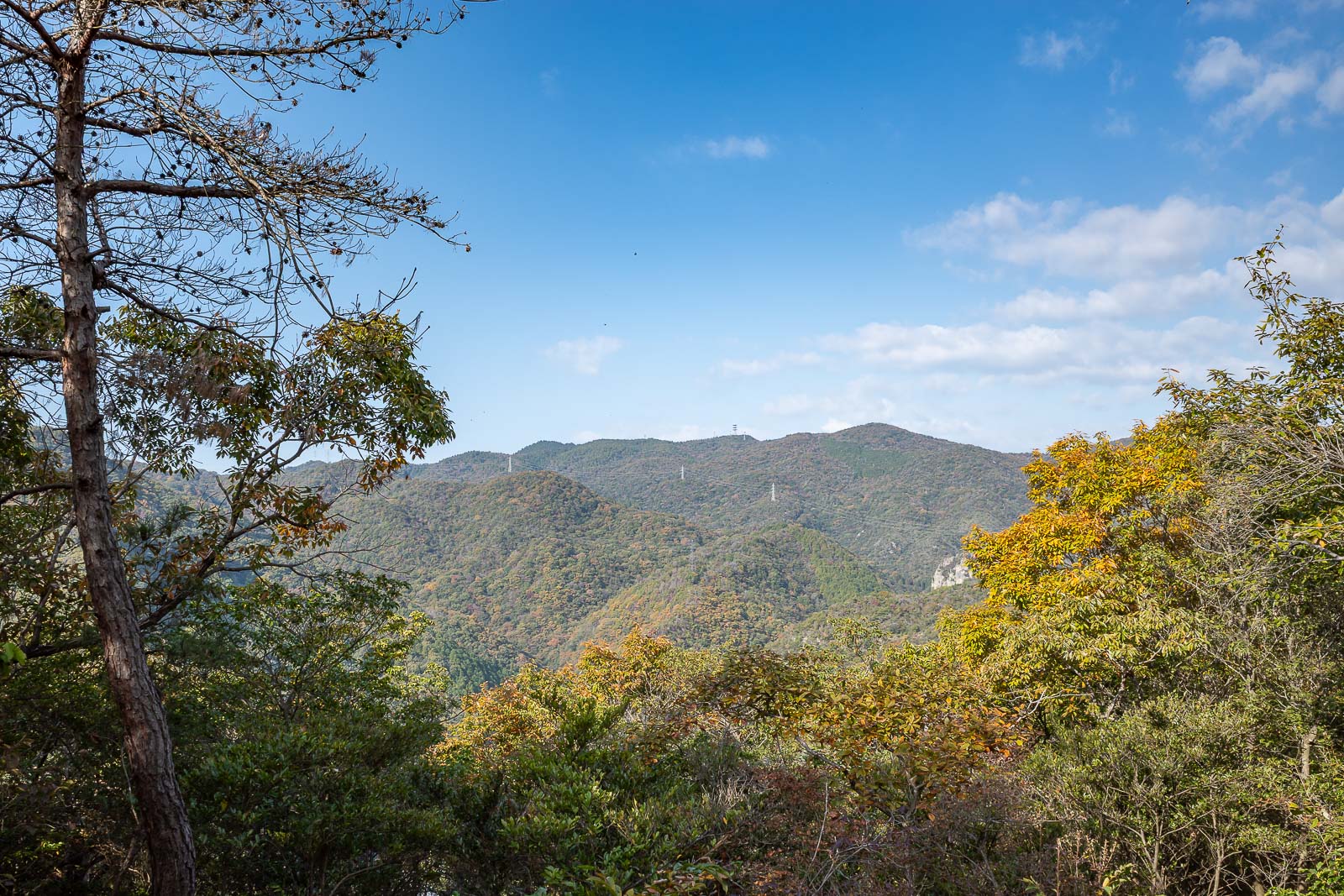
Squint and top centre of this pic you will see a communications tower that is the half way point of this hike.
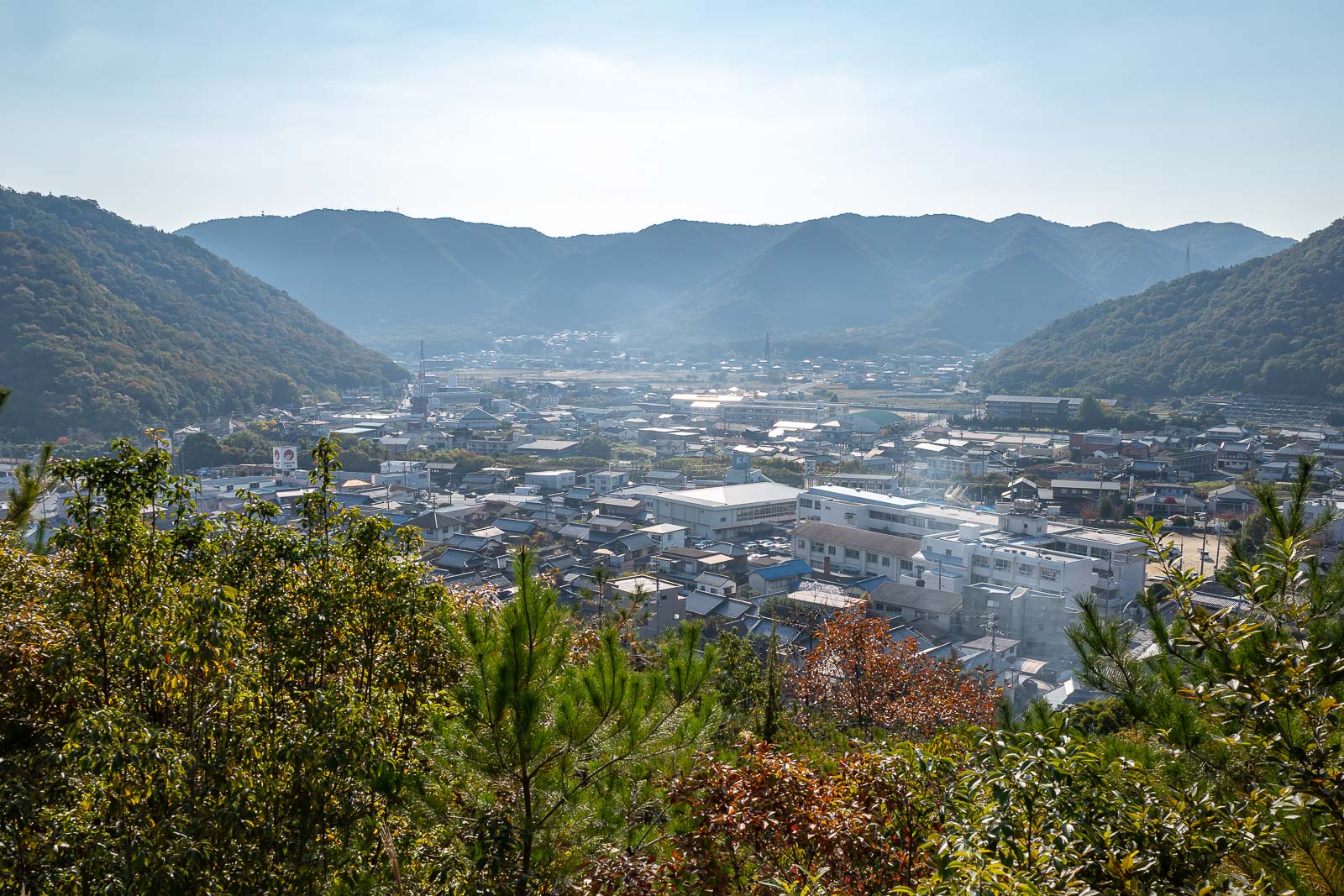
So many great views today, I really like when the mountains come up out of the flat farm land. The Shinkansen track can be seen here.
The view in the other direction features solar cells.
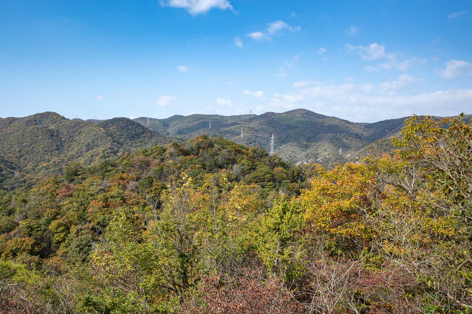
Lots of power cables today, sometimes they provide the only view spots.
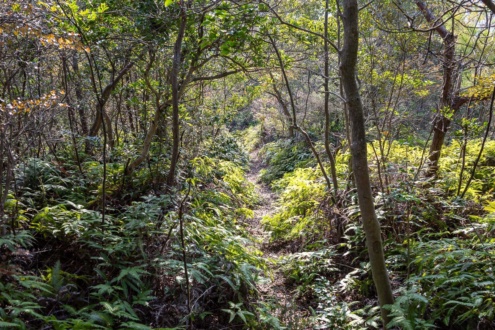
This part of the trail appears to be rarely used (based on the spiders and overgrowth), but it is very nice the whole way.
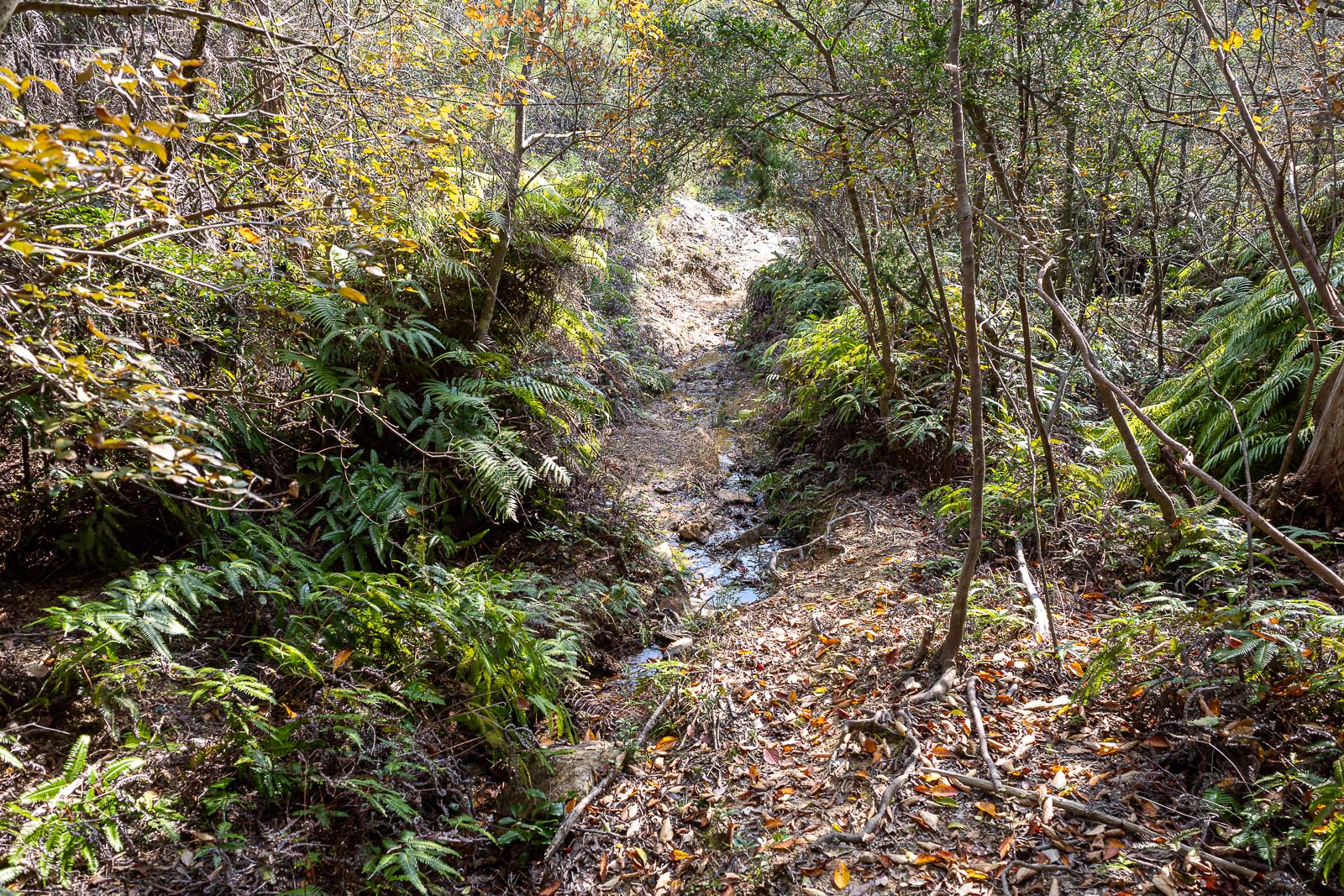
Parts of it were sandy and wet.
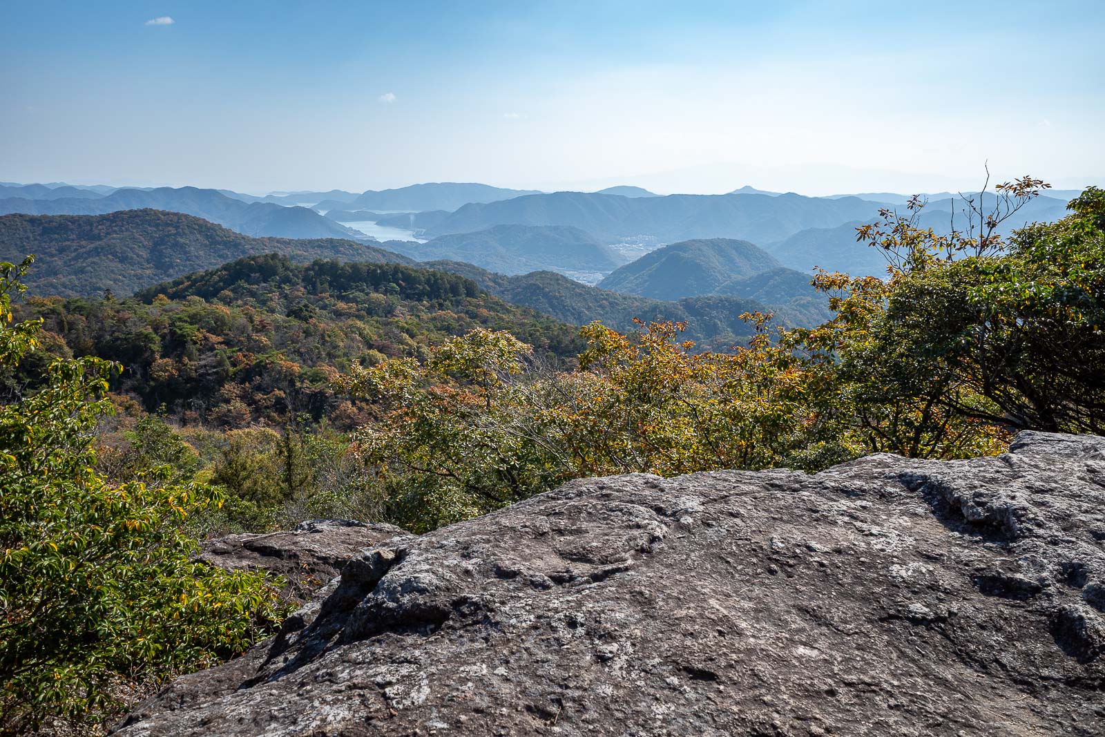
First giant rock view, it won't be the last.
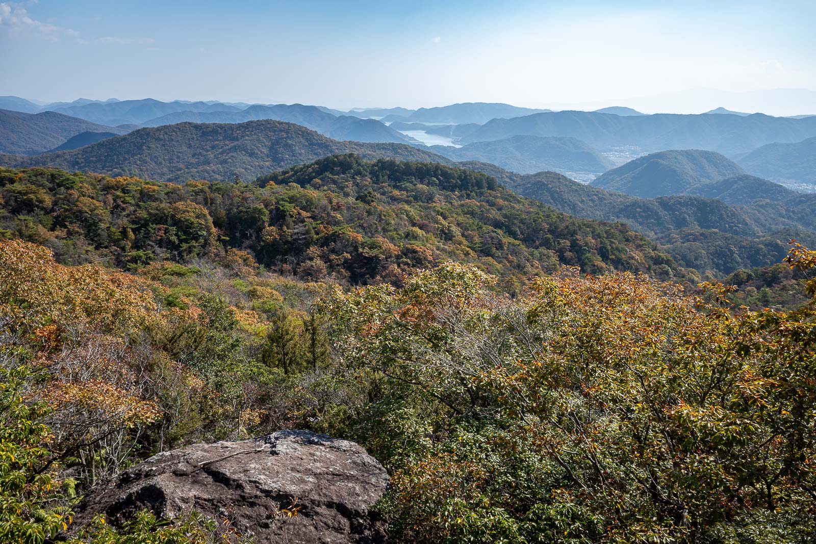
Very similar to the above pic, but I was really enjoying the view.
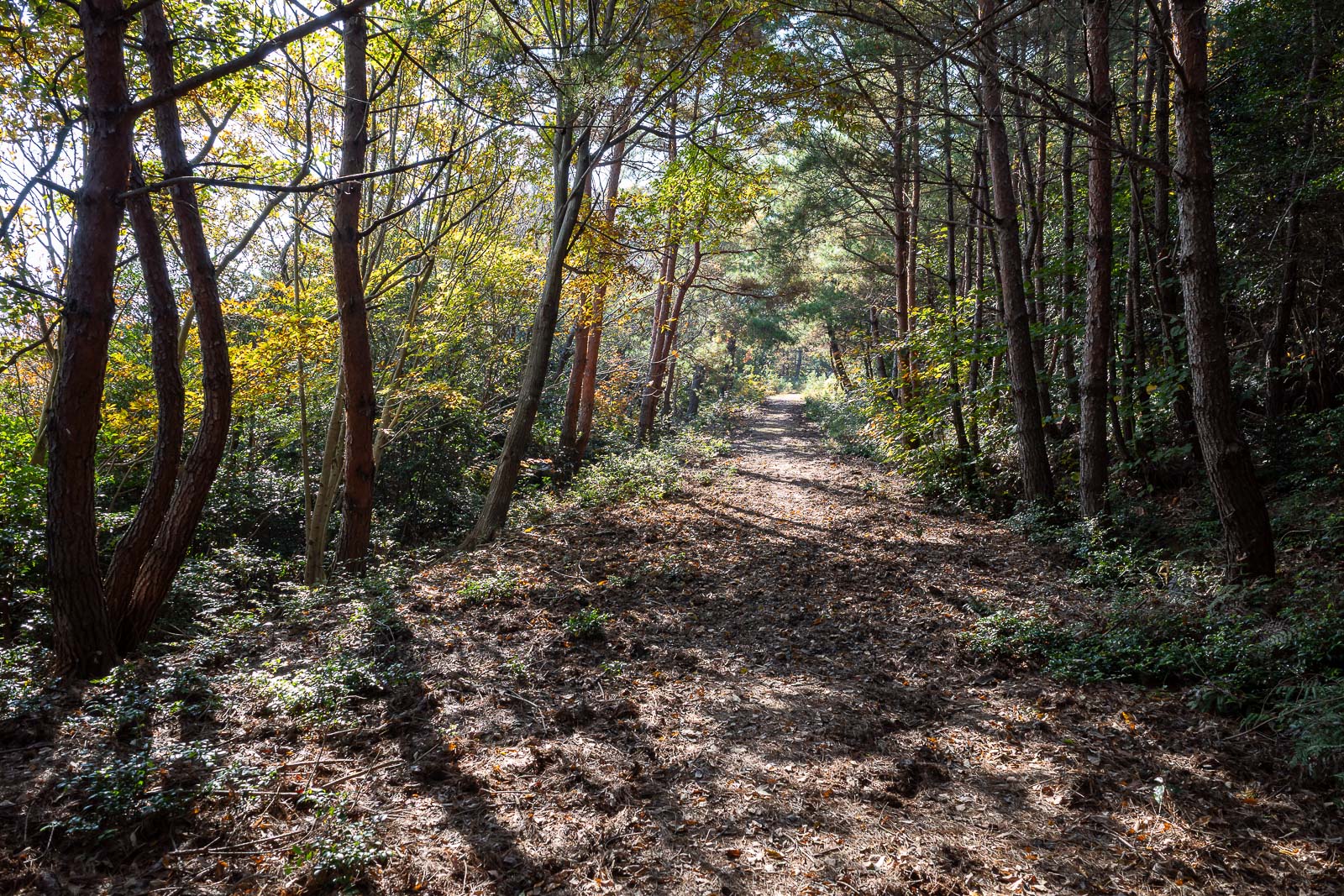
After 2.5 hours, and at the top of the ridge, the path opens up to more of a forest trail, and then right near the shrines, an actual road. It made for much faster progress.
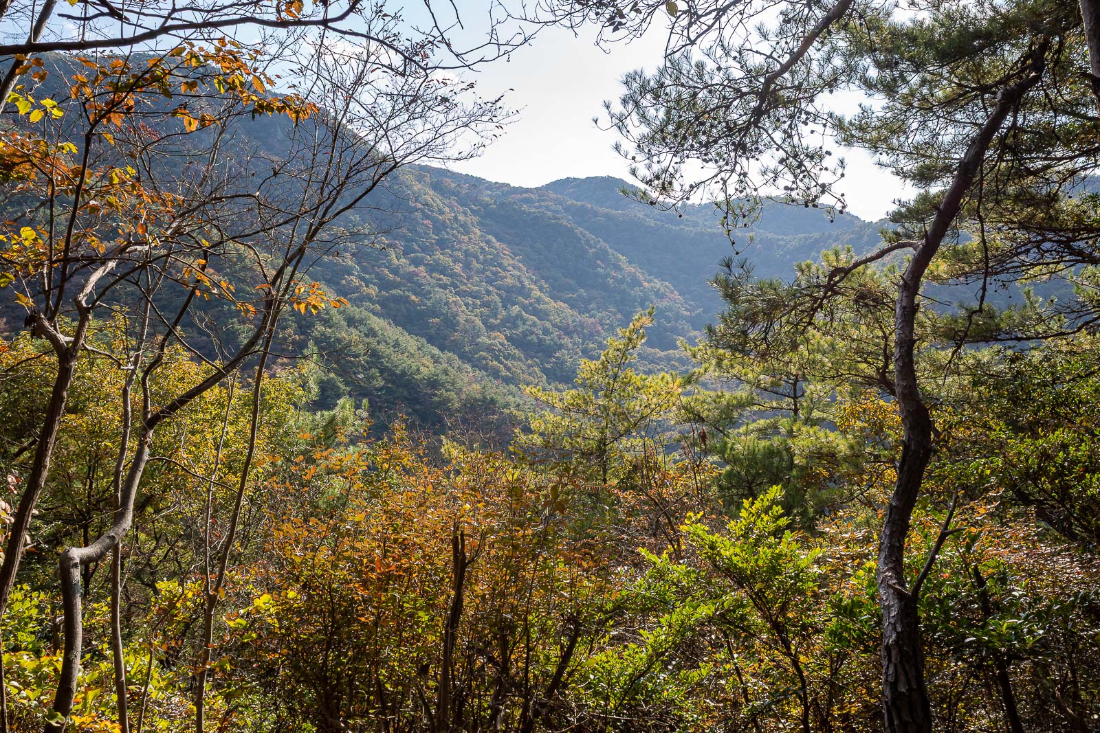
But still more great views, which just get better and better.
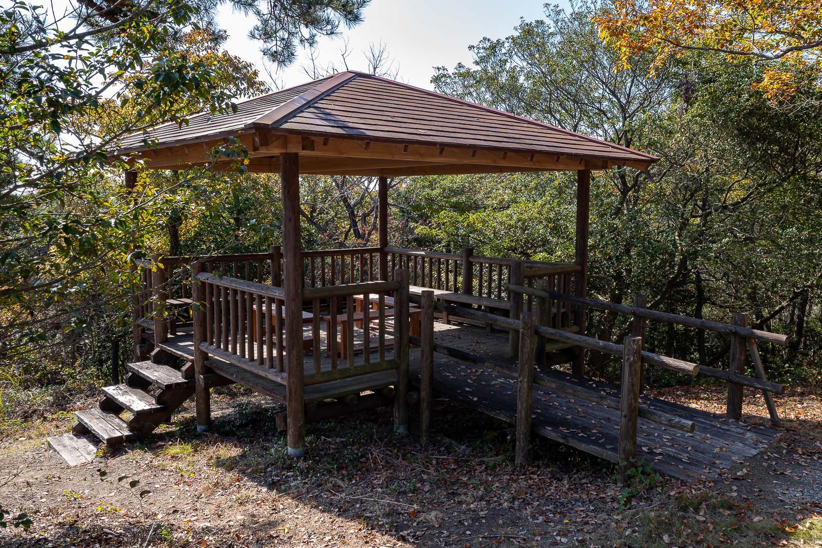
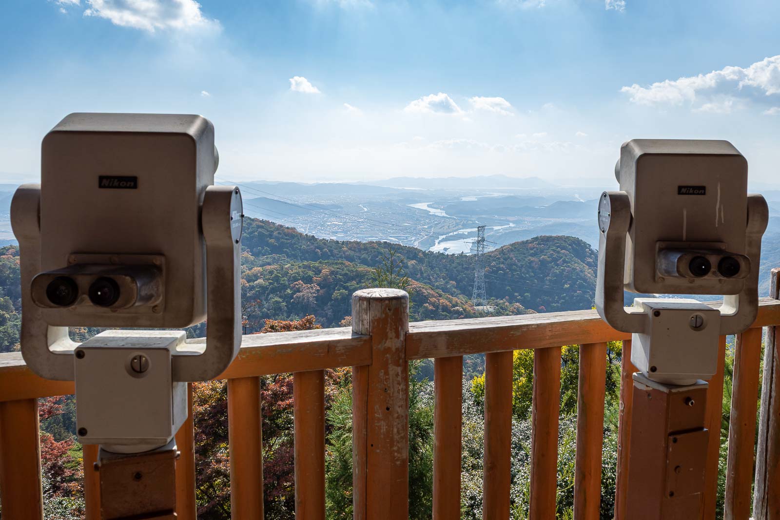
I had still seen no one at this point, even though there was view furniture around.
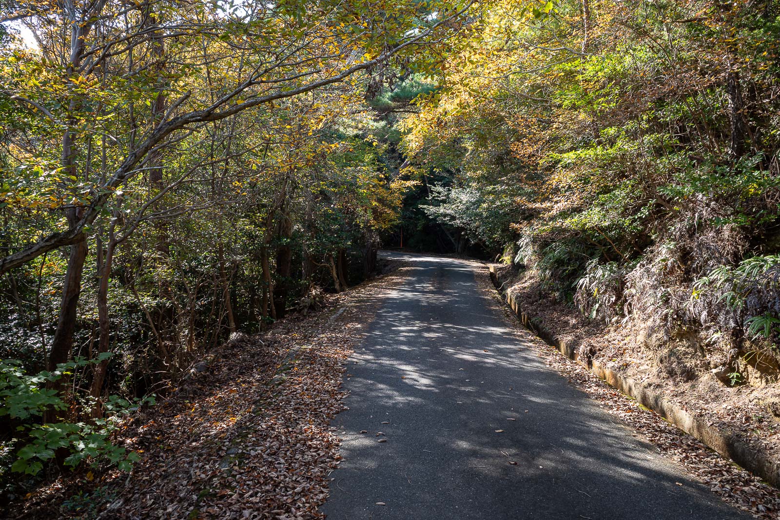
Behold, the road. Still no other people.
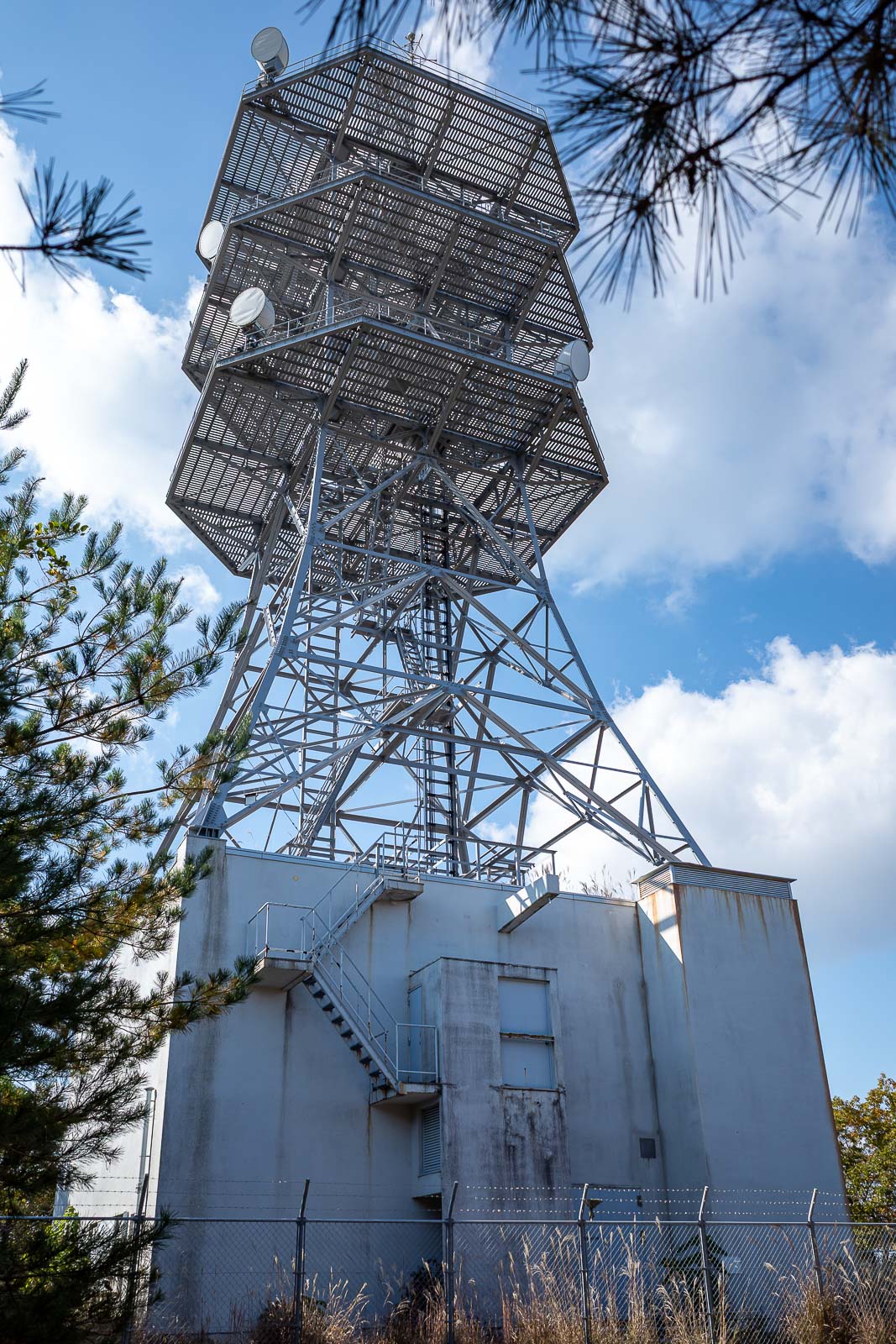
Here is the comms tower I mentioned earlier, which is at the highest point of today's hike, which admittedly is not very high.
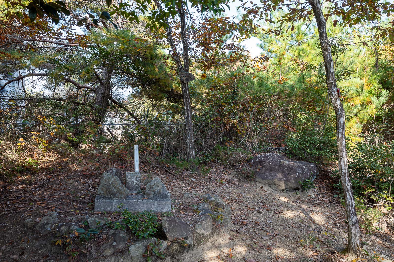
Terrible photo, but it is the summit marker of the highest summit of the day. No view from the summit.
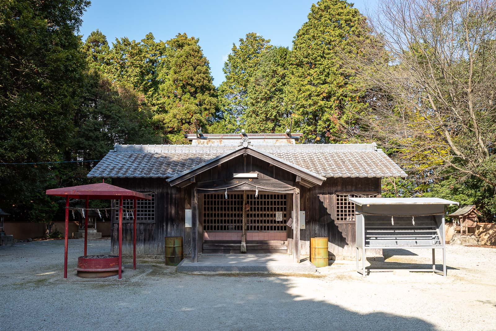
Not far from the comms tower, down the road, is the shrine area. 44 gallon drums are an interesting addition.
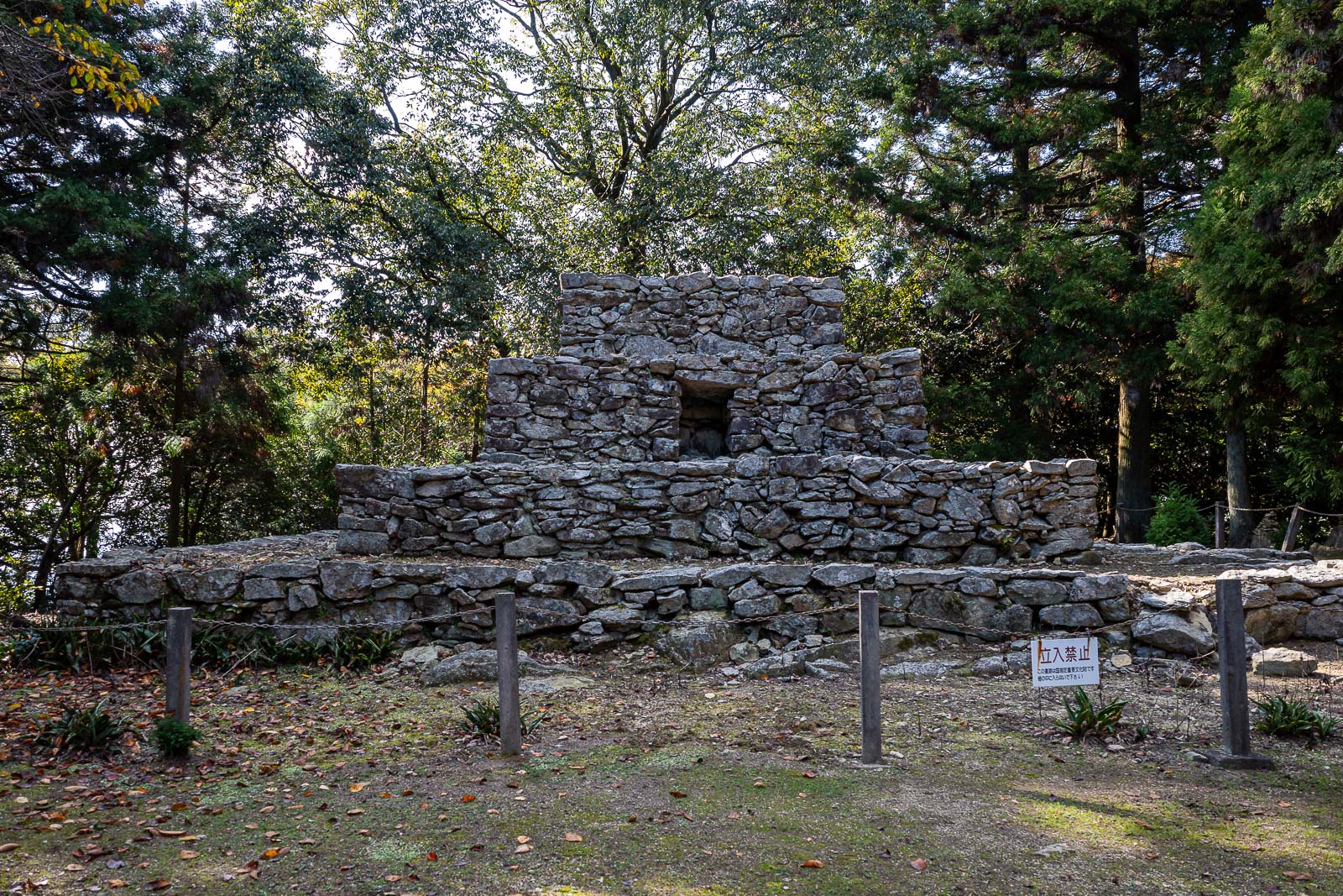
The reason the area is well known and has a road up to it the public can use are these ruins. There were a couple of cars around here.
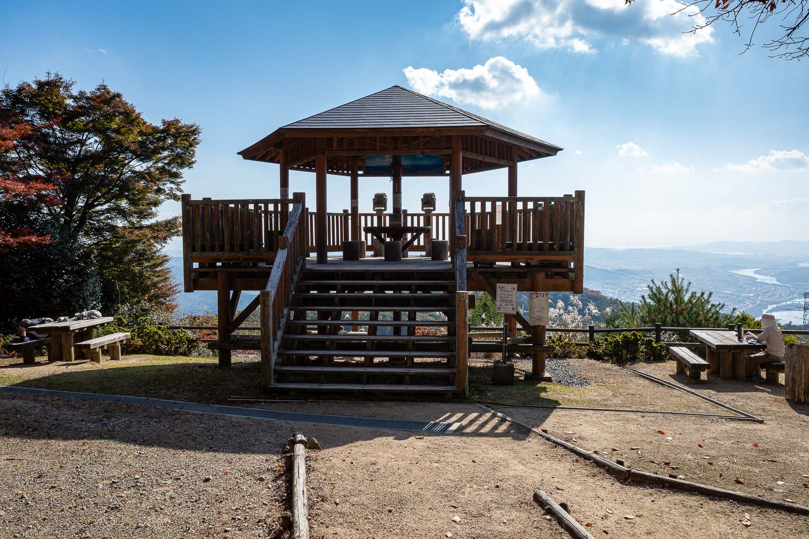
And at the nearby view spot, here are the only 2 other people I saw all day. Lady on the right and a guy sleeping on the left.
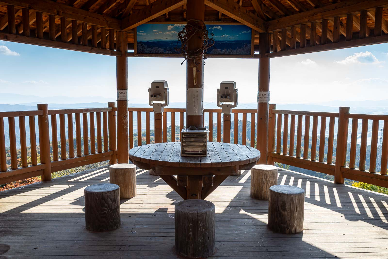
Now I will approach the view.
The view of the view.
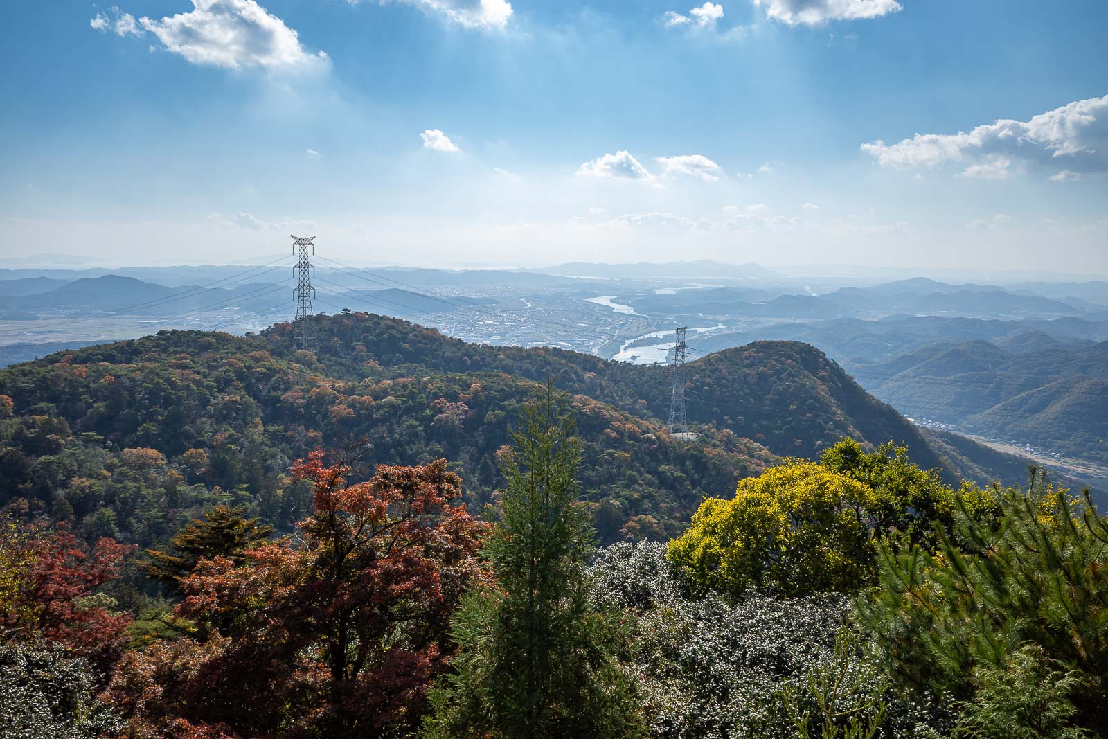
And just the view. Someone cut down the power pole things.
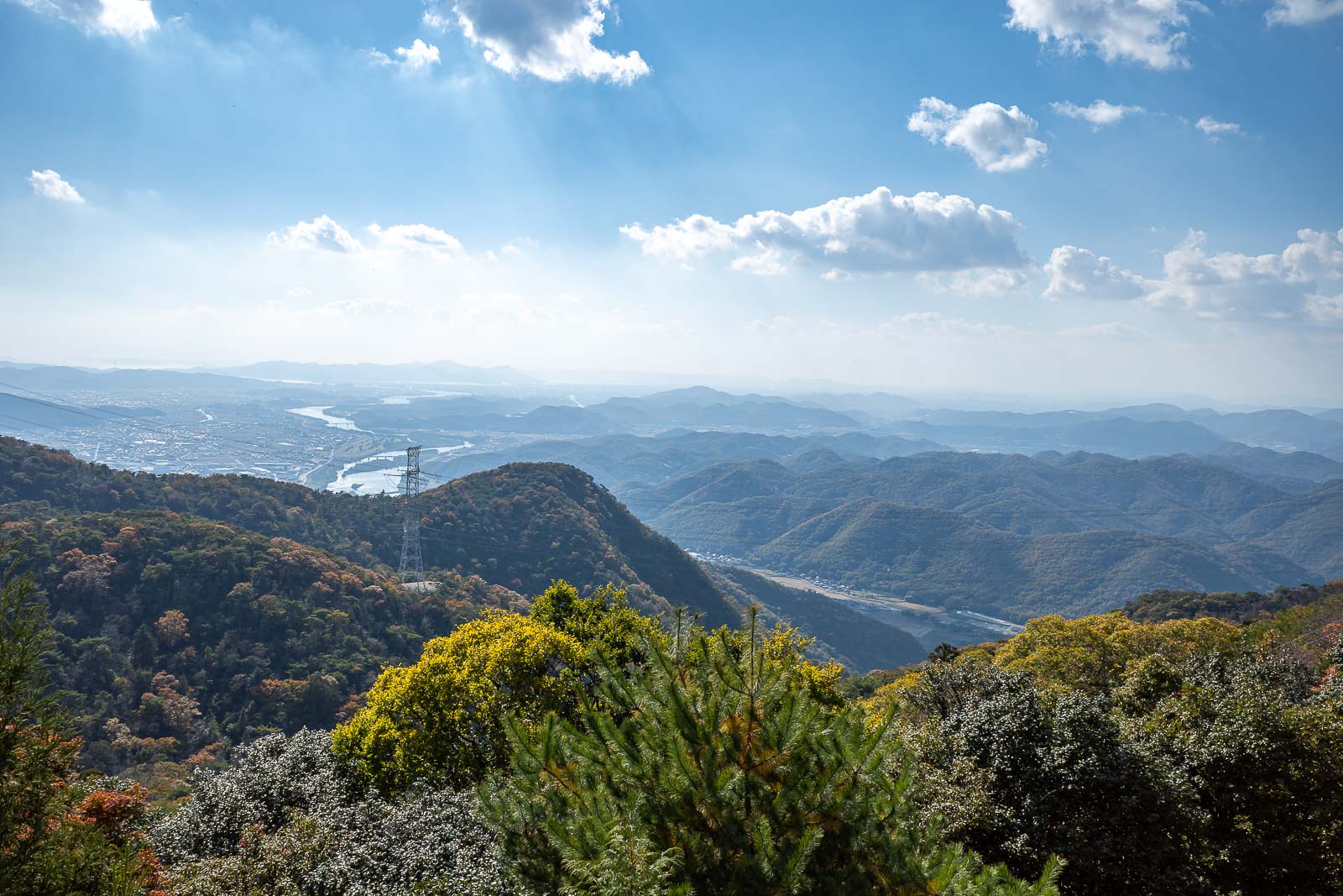
Similar shot, but the clouds are interesting with the wispy bits hanging off them.
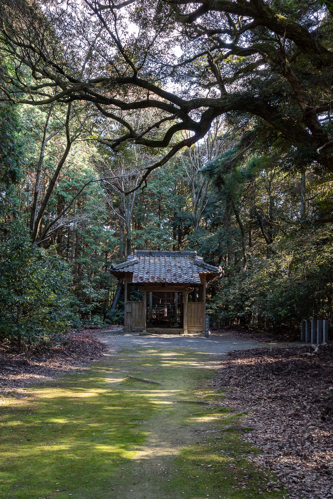
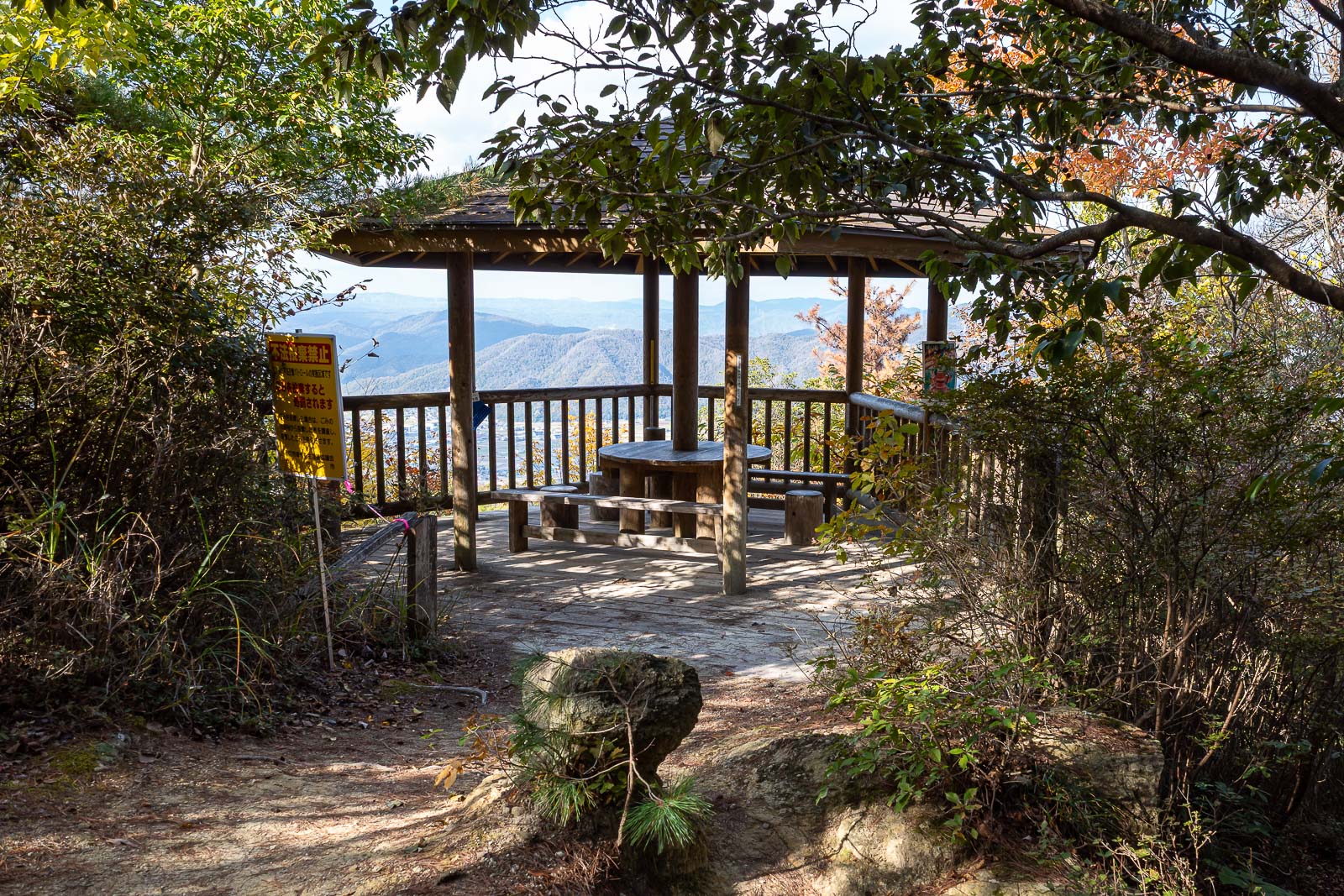
There are a lot of little structures around the top, and a few designated culturally significant trees.
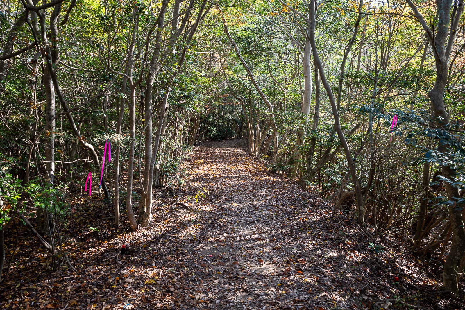
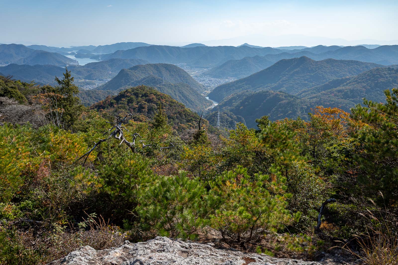
I continued north in the direction I had been travelling all day to go down the far side of the mountain range. This side is much more user friendly, no spiders, wider path, ribbons.
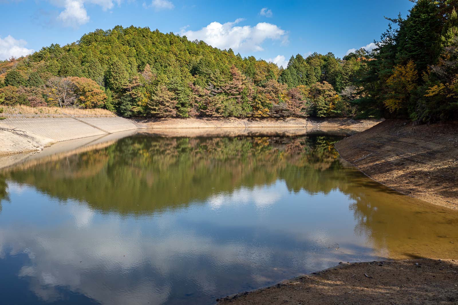
This reservoir was hidden, but I found a trail. About a 10 minute diversion, possibly not worth it.
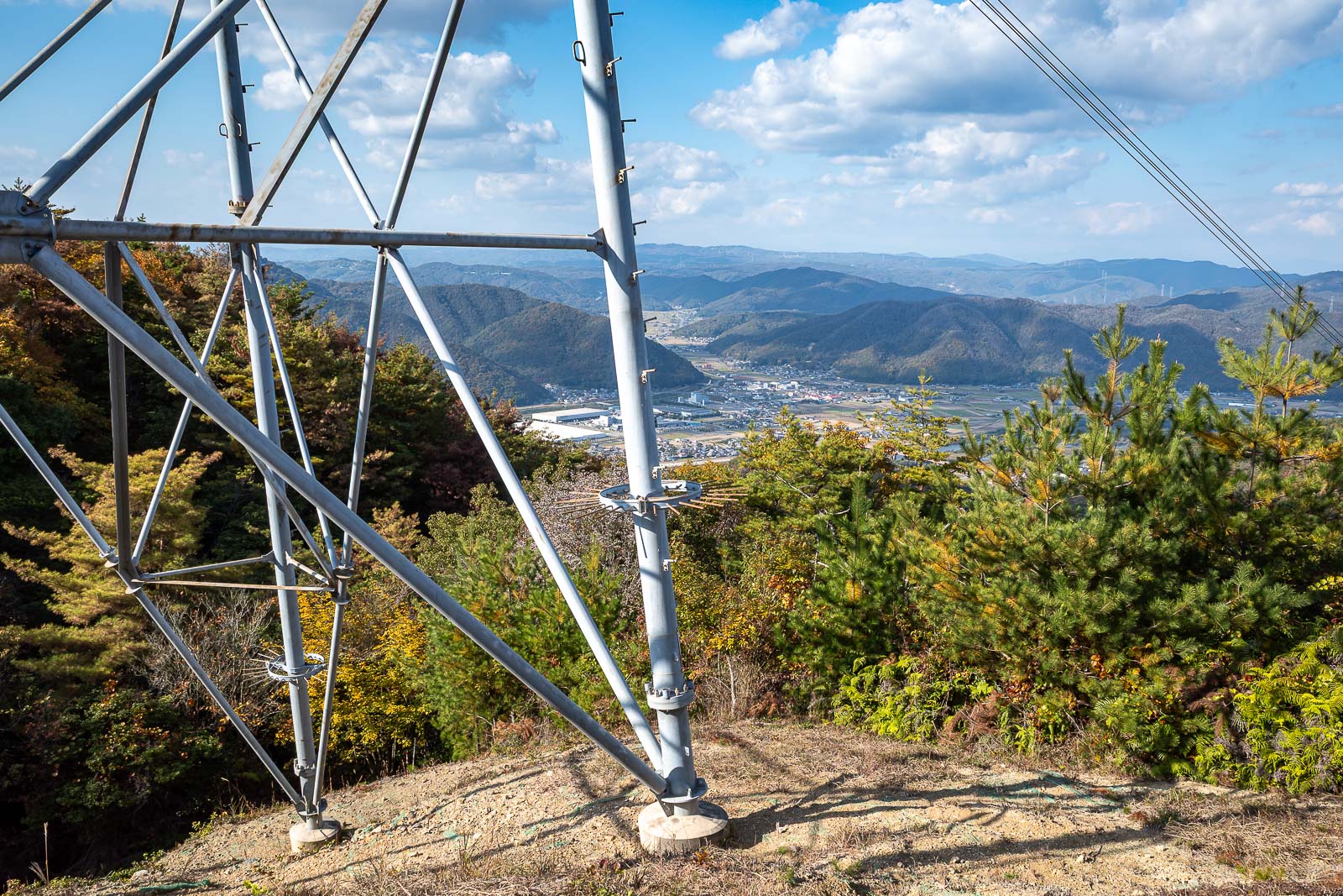
There were limited view opportunities on the way down. In this spot I could not even find a view that did not feature a power pole. What are these poles called? Pylon, high tension tower... none of them are great words for giant electricity thing.
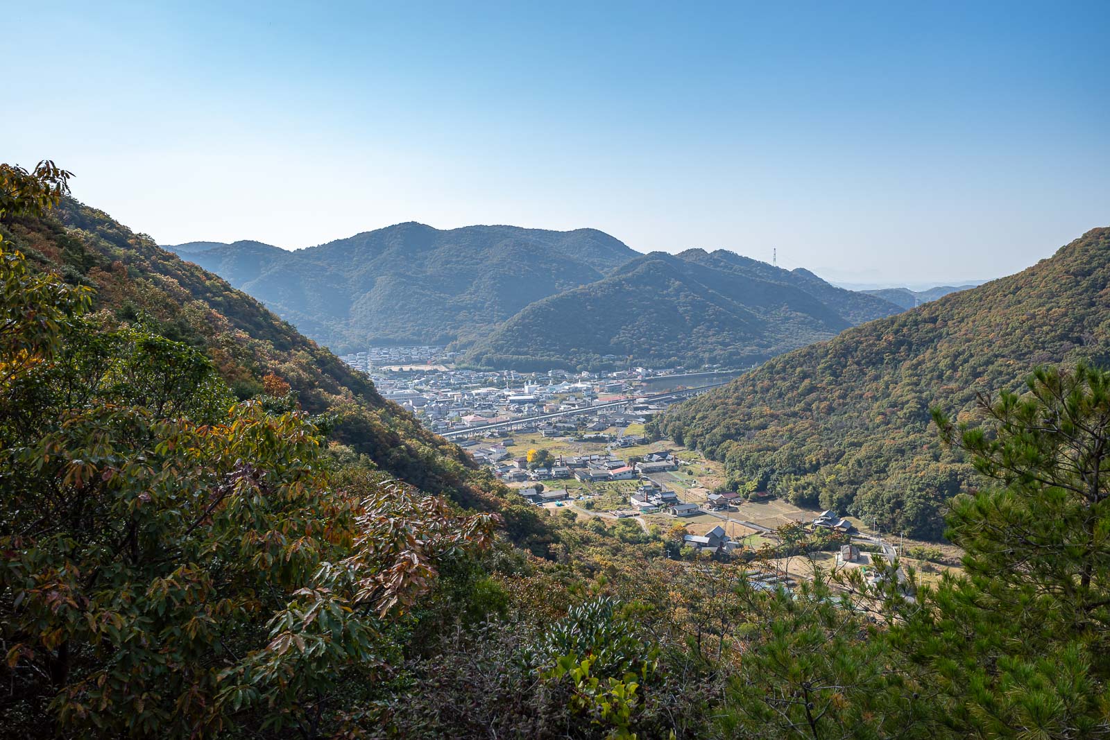
Over half way down and finally another proper view spot. By the way, there were no other people on the way down either, I guess everyone drives up. That cannot be true, the path is too well maintained, it was amazing I saw no one on this side of the trail either.
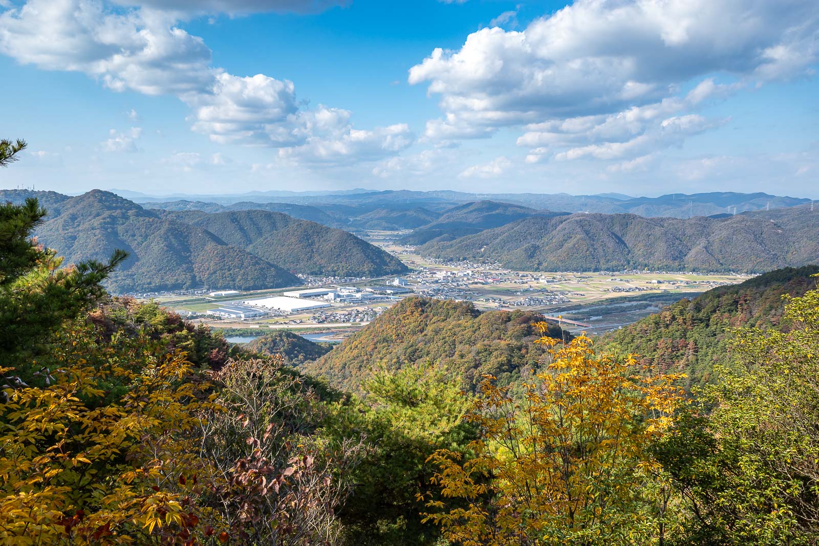
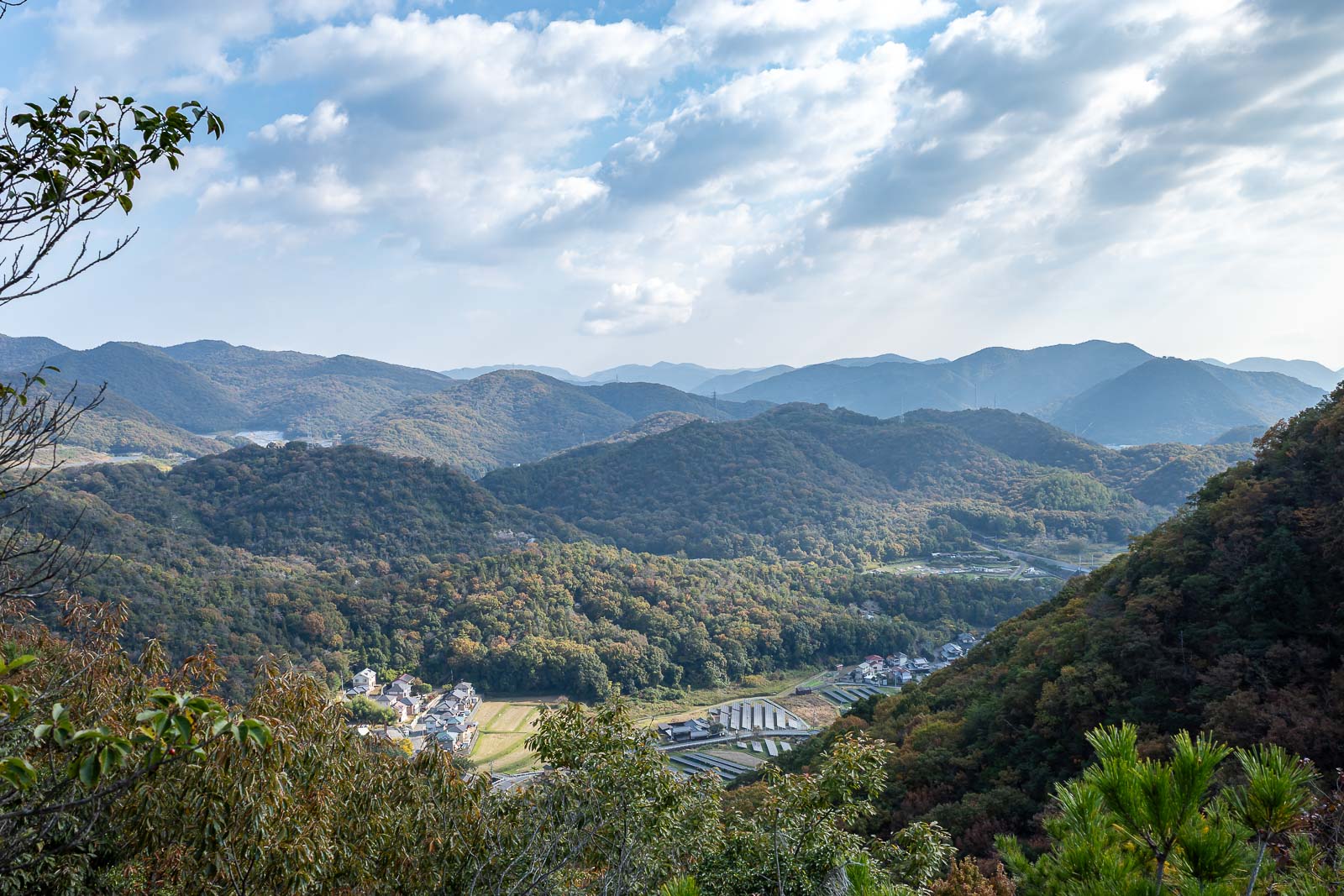
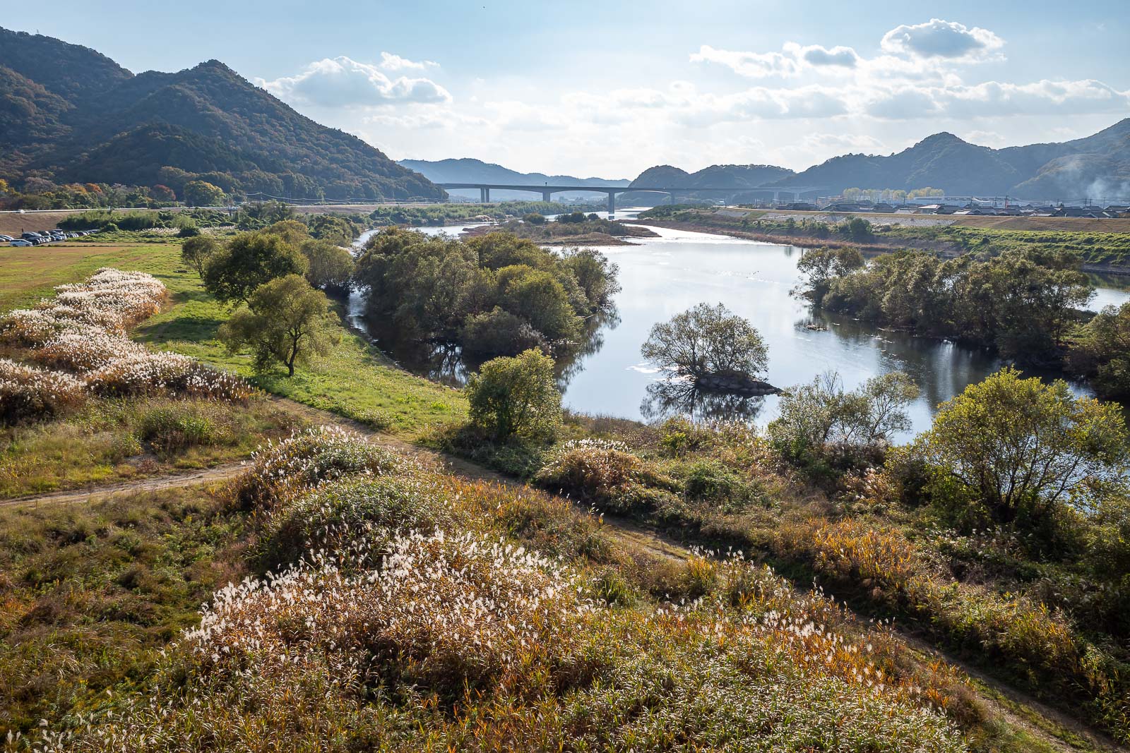
It is a close run race, but I give this one view of the day. I like the valley and the clouds seemingly leading up the valley.
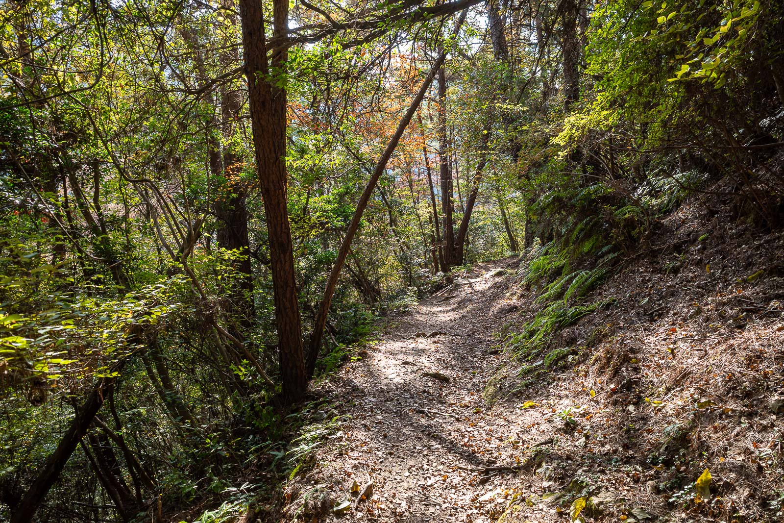
The trail down was really great too.
I guess I came down from up there somewhere.
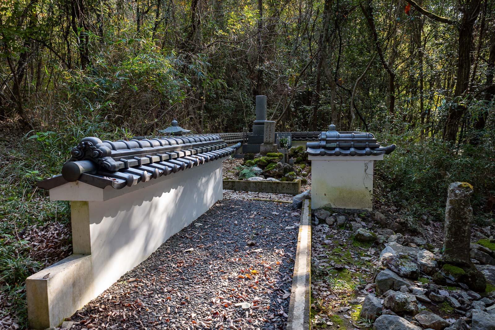
The graveyard tells me that I am approaching the end.
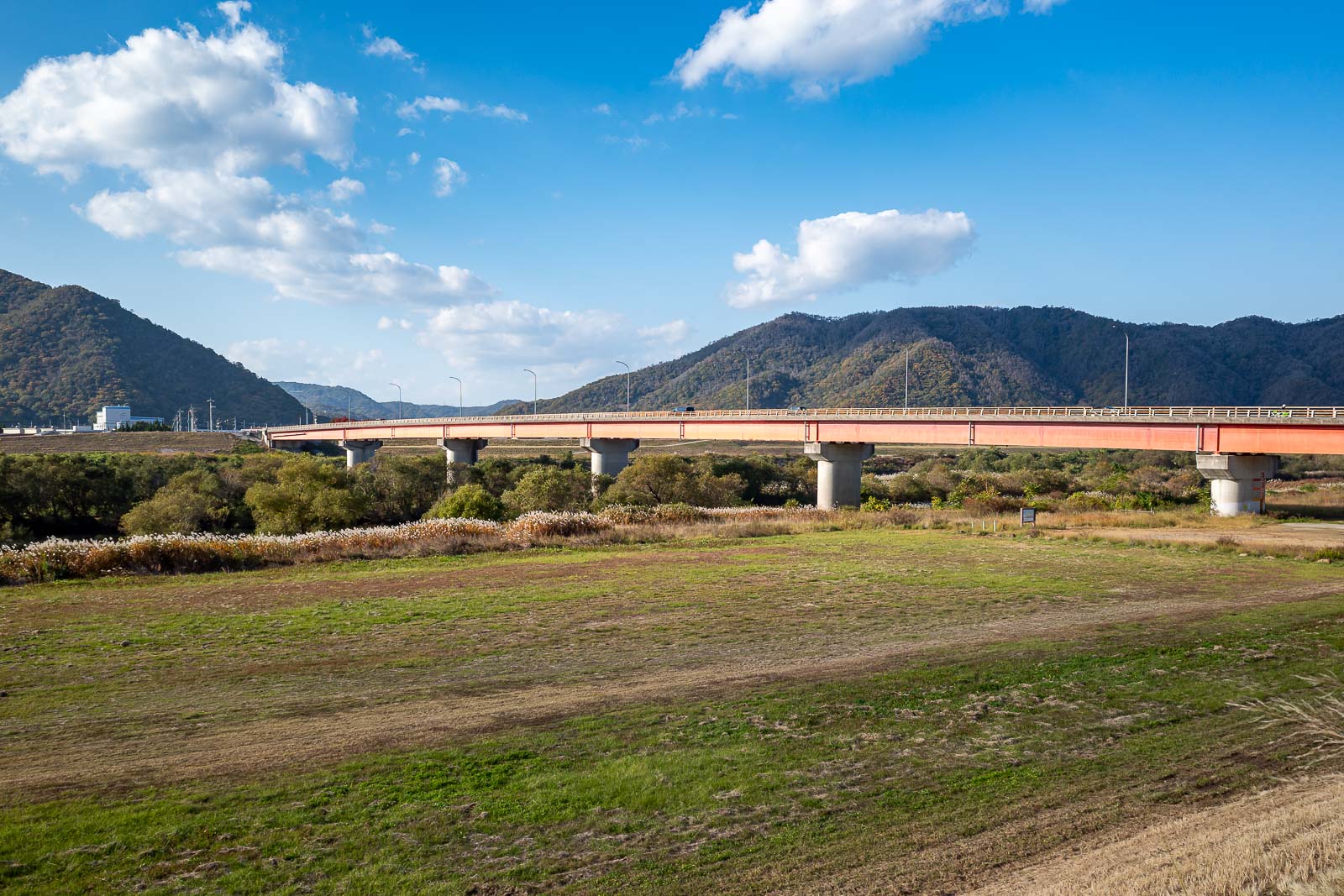
I was about 25 minutes too early for the train, so I had time for some view shots from the valley floor. Here is the red bridge you can see in earlier shots.
Great view from the bridge too. A shame about those cars on the left, I tried cropping them out but then it removes the nice vegetation on the left too.
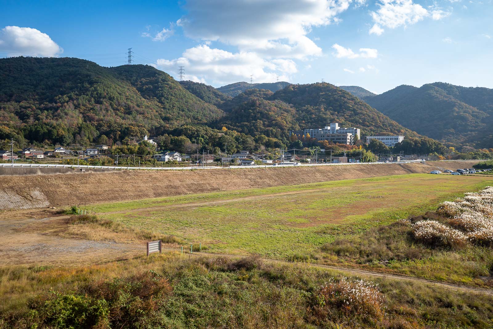
Finally, a view of the various small mountains from today. The big building on the right is a high school, there were high school kids in uniform on the 30 minute train ride back to town from Kumayama station, even though it is Saturday, because that is what Japan does.