2 November 2026
Revisiting the mystery pole
Mount Yahiko from Yahiko to Iwamuro stations
A lot of photos today so not much text.
I have done this hike before. I did it slightly differently this time. It rained but I did not really get wet. I had to run at the end. The scenery was great.
Now the stats and then a lot of pics -
29,200 steps - including a 5km run to the train at the end
16.02km
4 hours 58 minutes - slow because it was wet and slippery
896m vertical ascent
1,419 calories burned - extra burning due to the running
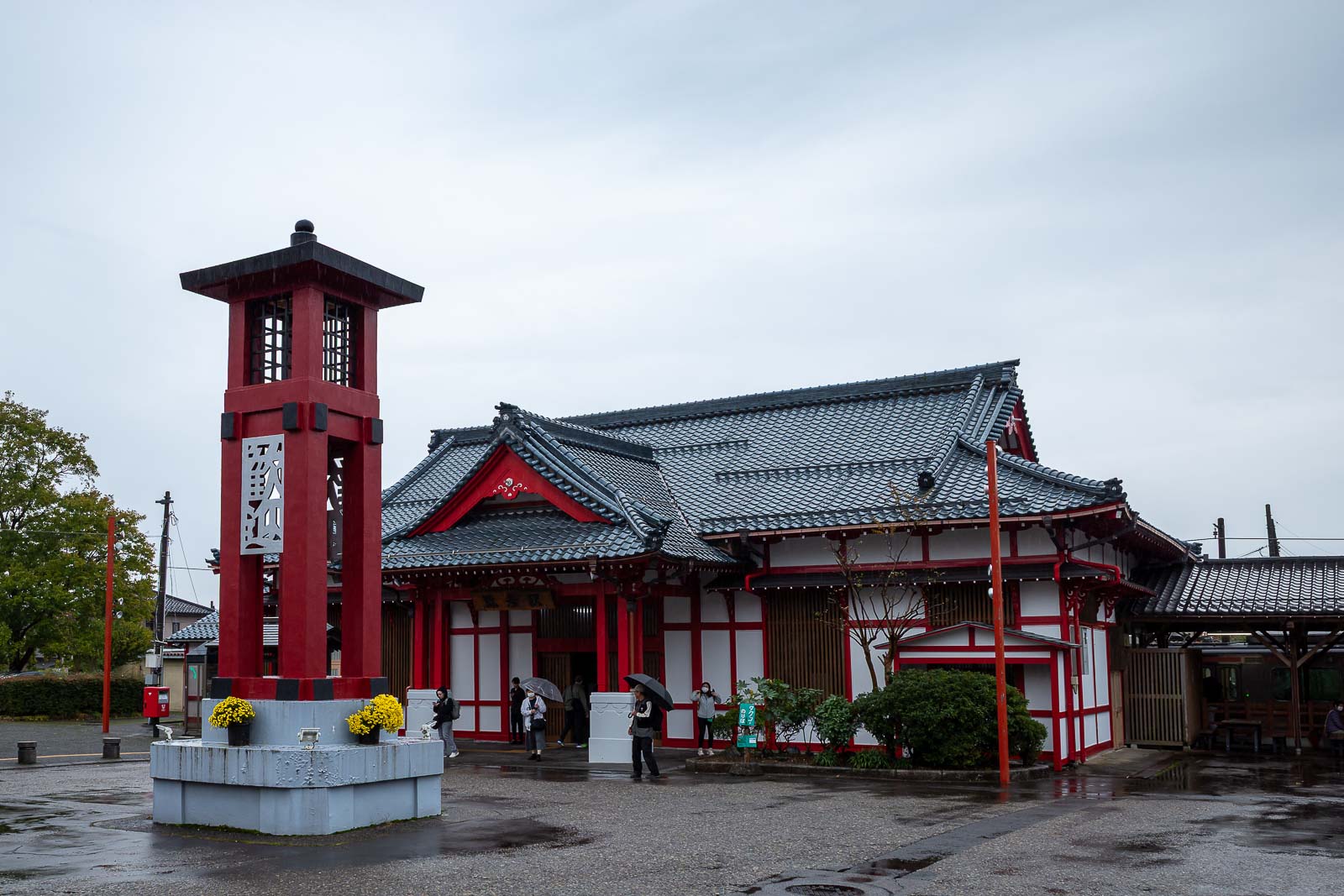
Getting to Yahiko station takes about 90 minutes including a transfer at Yoshida station, there are no early trains so it was a late start for me.
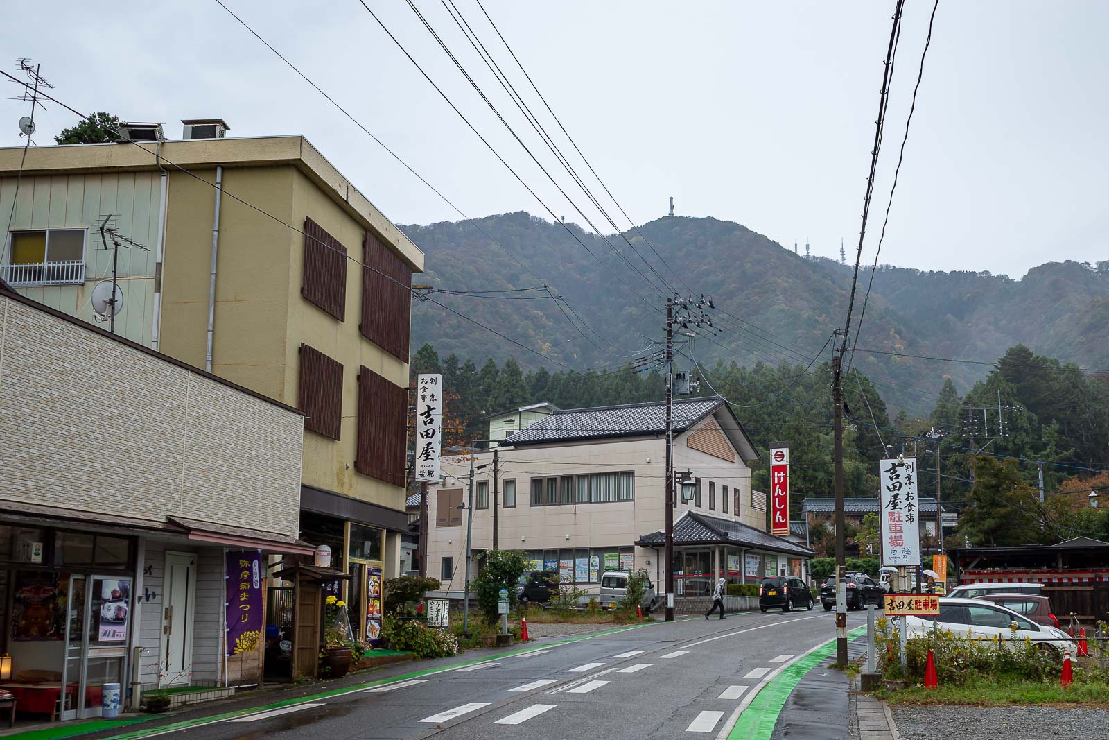
The streets around Yahiko are kind of shriney and traditional. There is a convenience store near the station, I missed it and so bought some biscuits from a bakery and drinks from a vending machine.
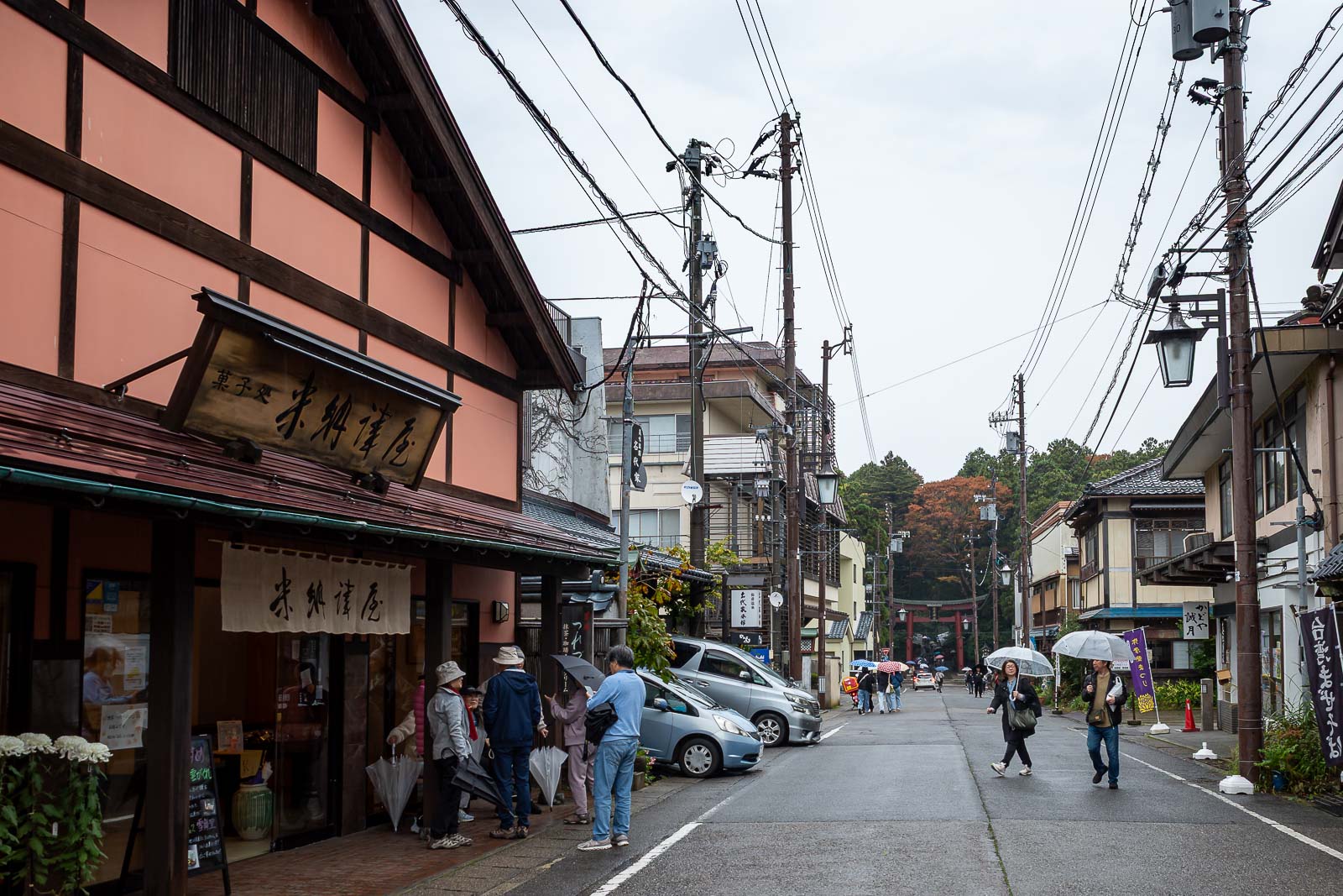
Getting closer to the shrine. Quite a lot of tourists around, with umbrellas.
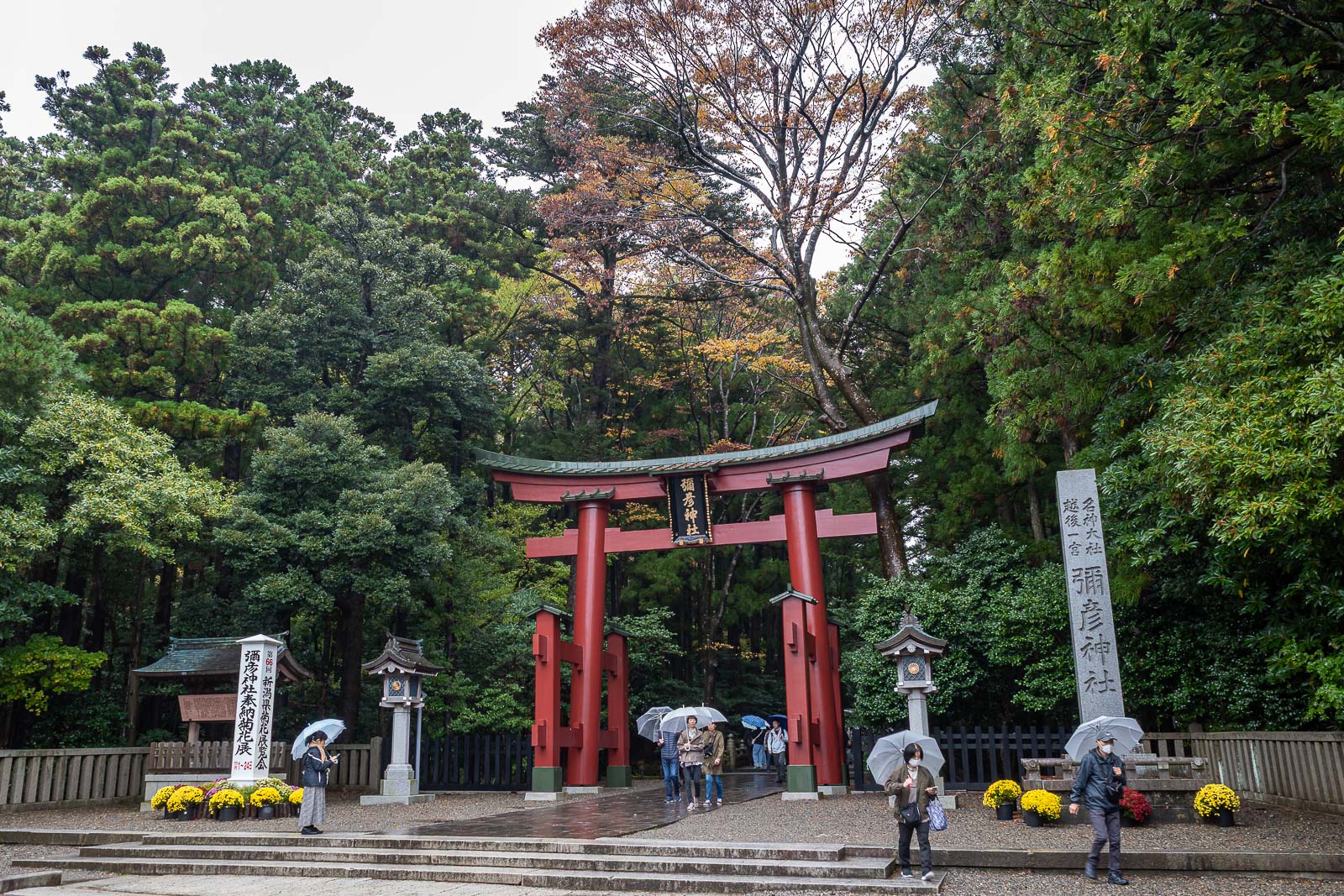
Time to get my shrine on.
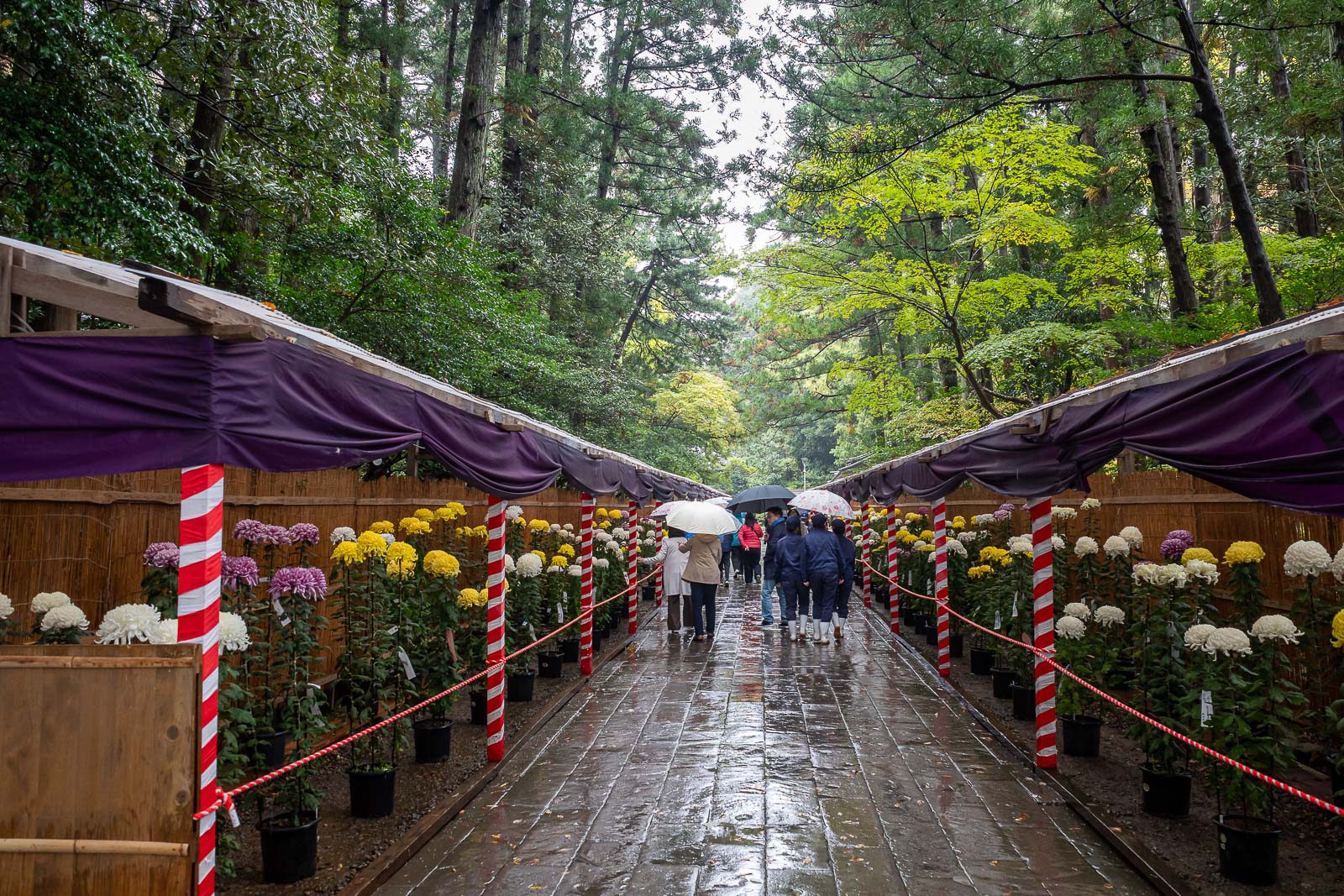
I remembered this flower lined path from last time.
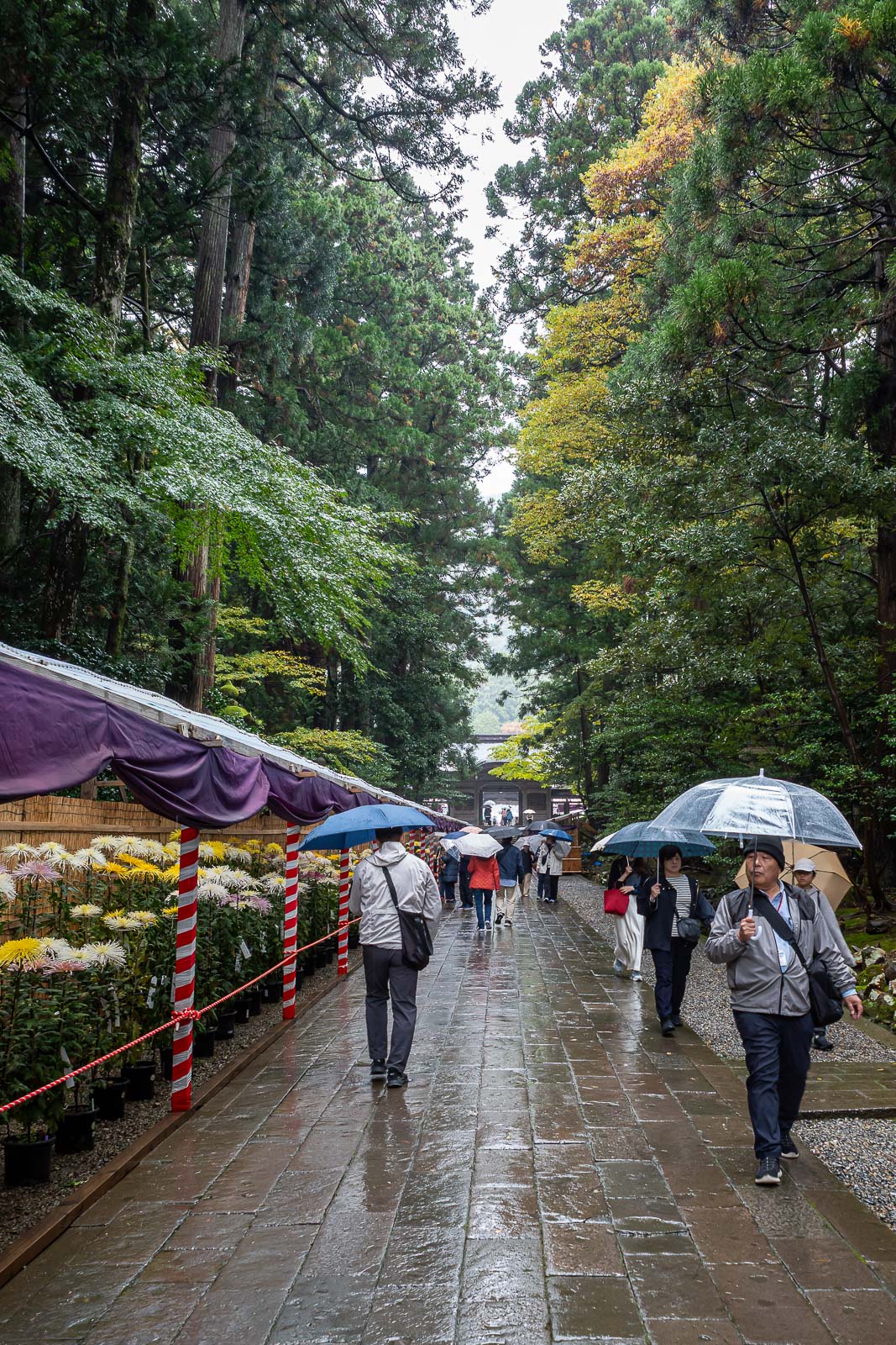
It goes around a corner. Great trees, good shield from the light rain.
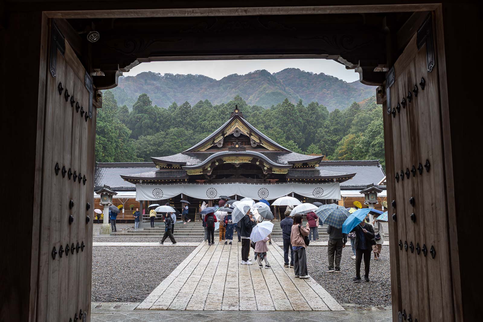
The shrine, and tourists.
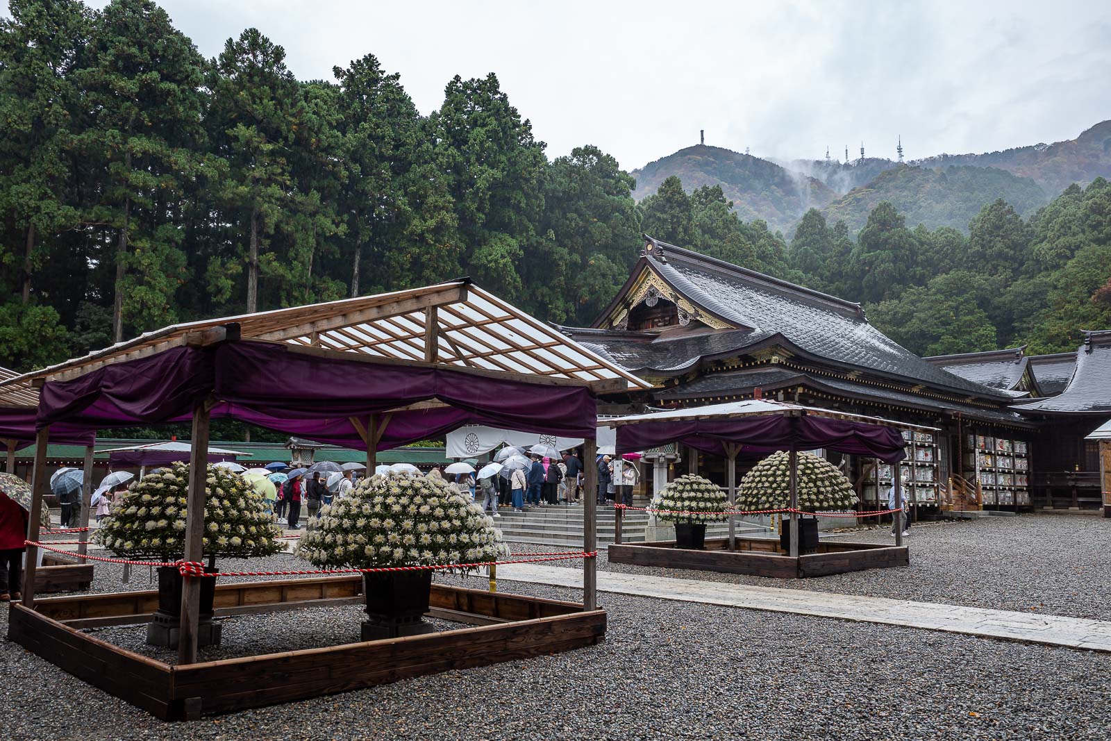
Lots of flowers to appreciate. I have no time for flowers, I must ascend, and get moist.
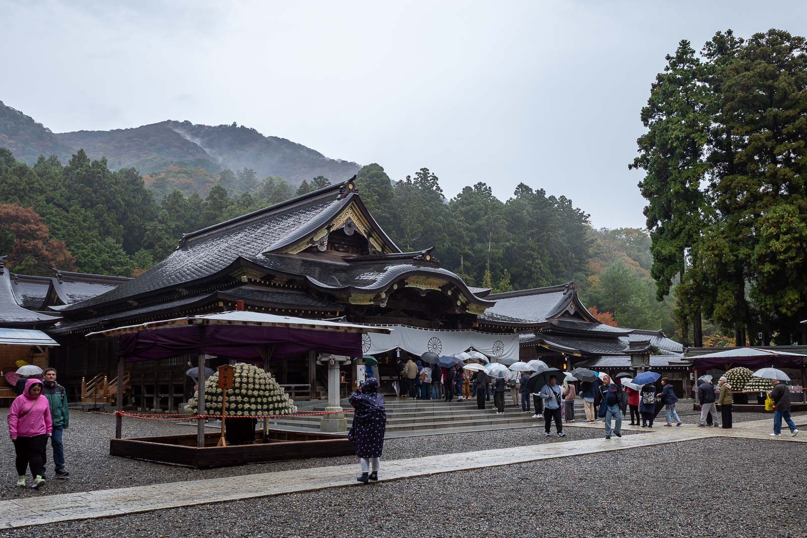
OK one more shrine photo.
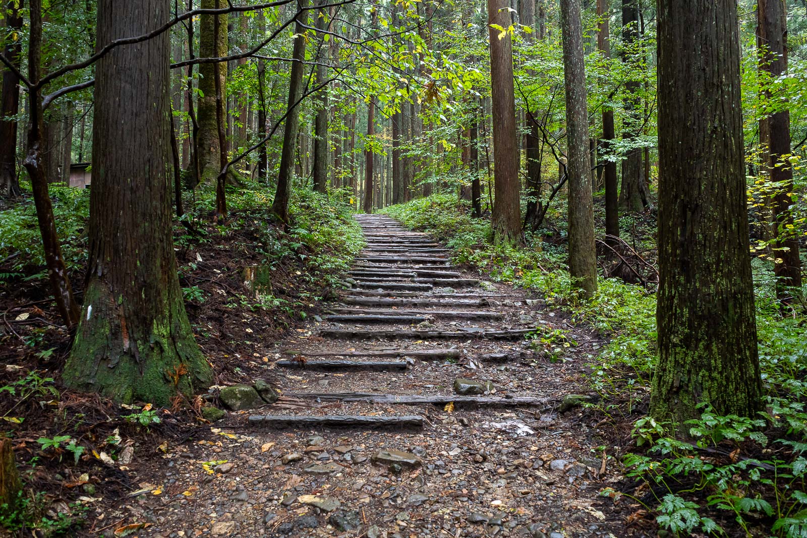
The start of the path up is a lot of stairs. Actually a lot of today was stairs for the first half, but still, no other people other than at the top where the cable car goes.
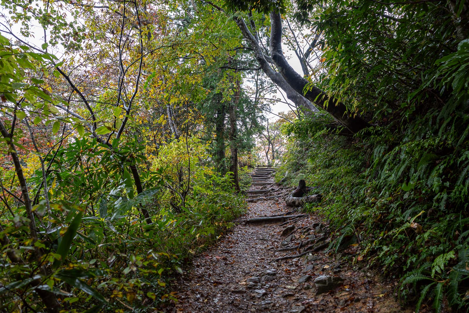
A very picturesque path.
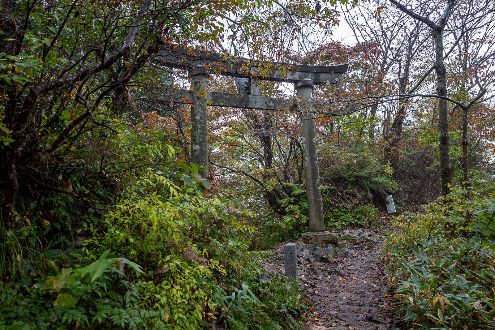
Random gate half way up the hill.
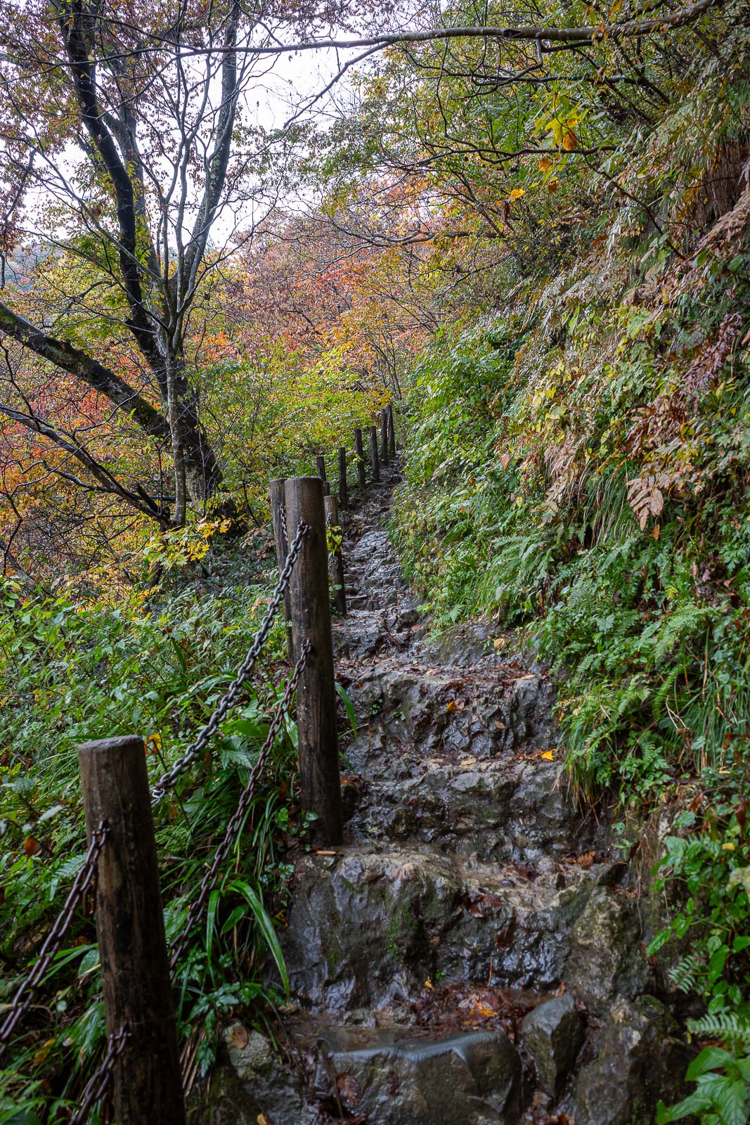
Rocks appeared. Not too slippery. A bit of colour too.
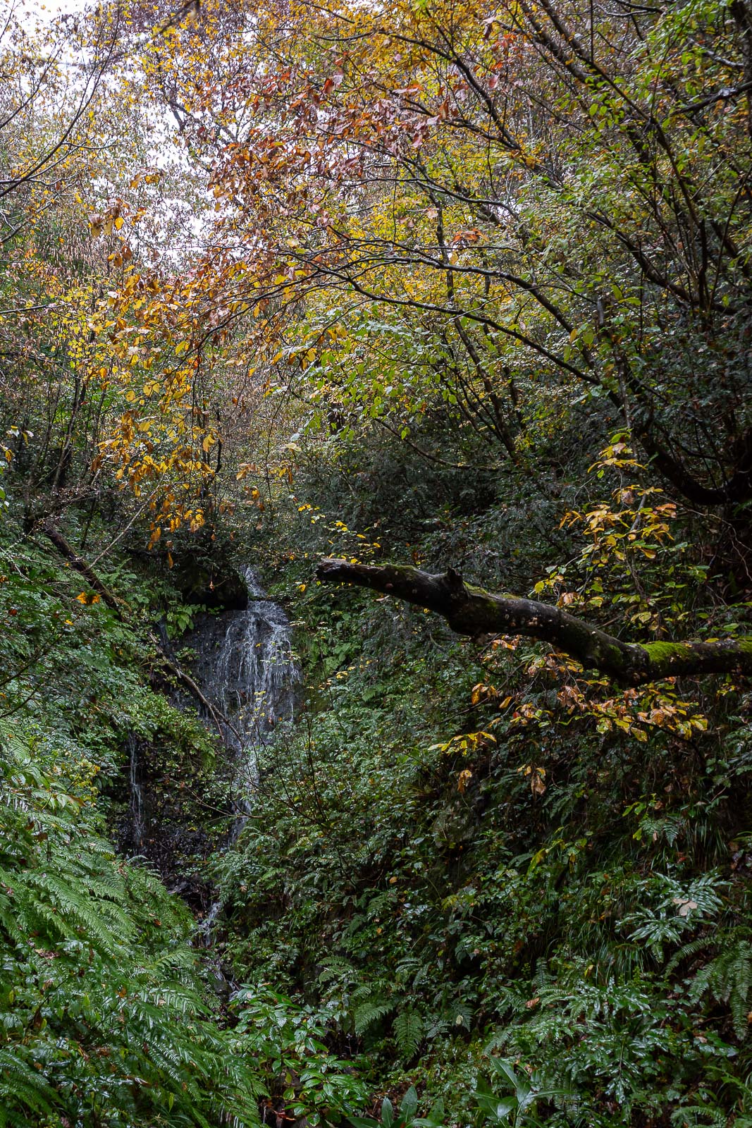
There was even a decent waterfall to appreciate, I needed zoom for a decent photo, I have no zoom.
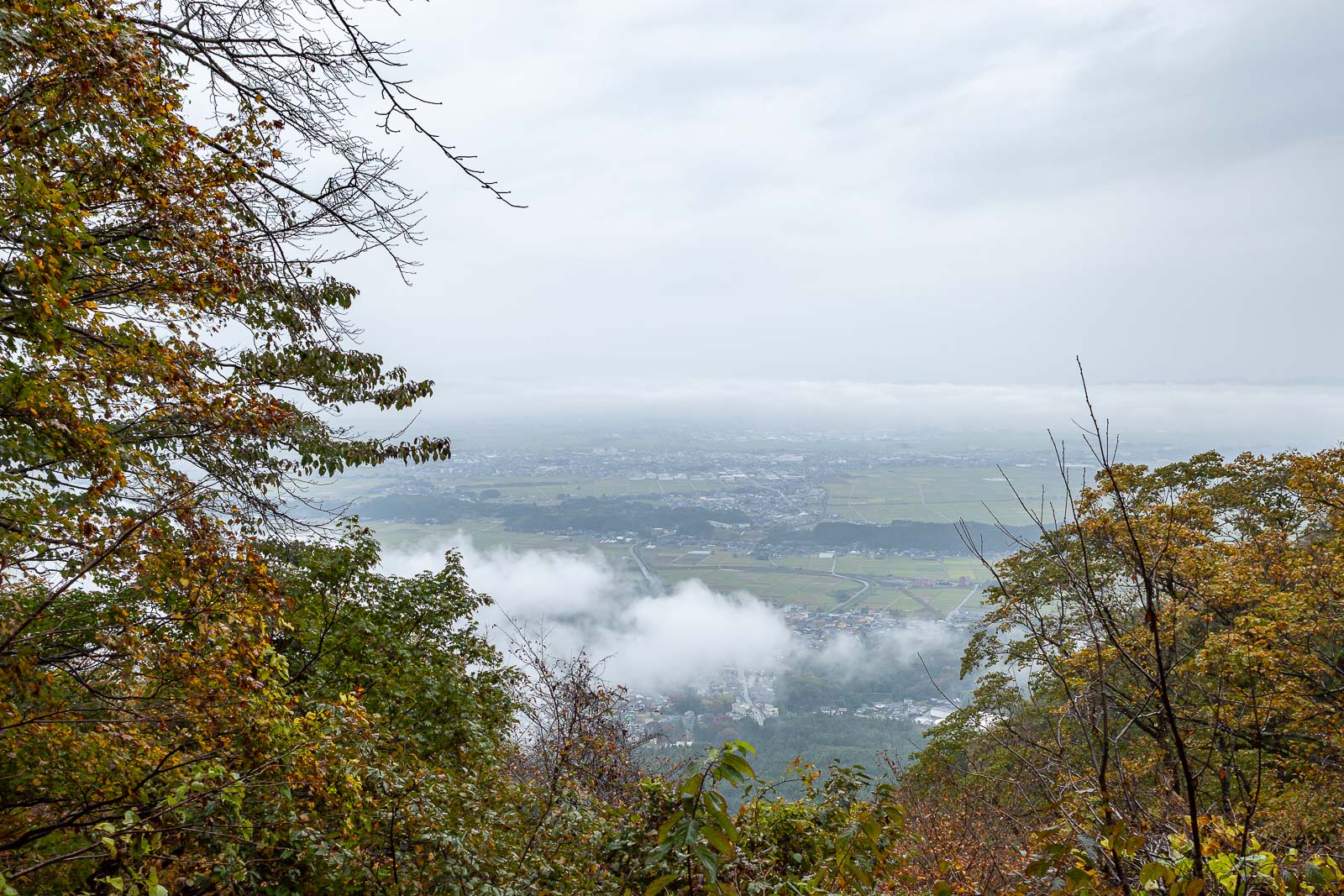
First view down, still some low cloud / fog.
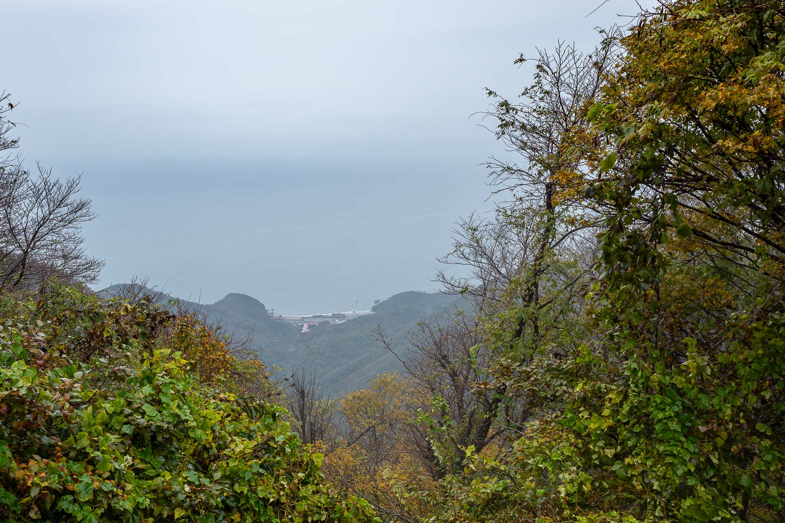
The ocean! Across from there, North Korea,
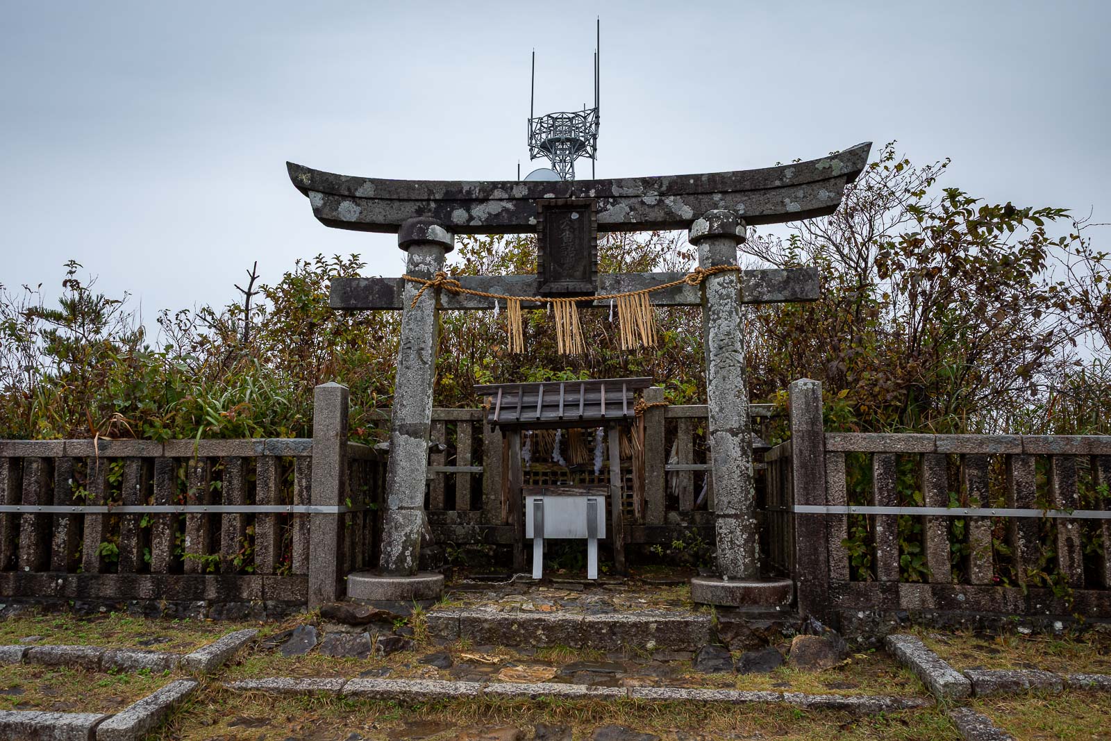
Mount Yahiko has a mini shrine on the top, but look above it and you can see the tv tower.
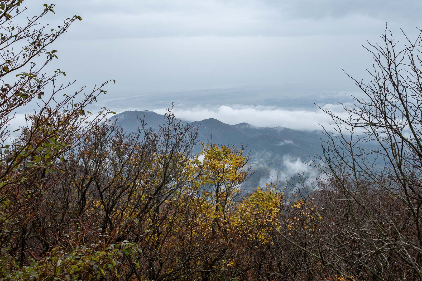
A great view of the cloud below.
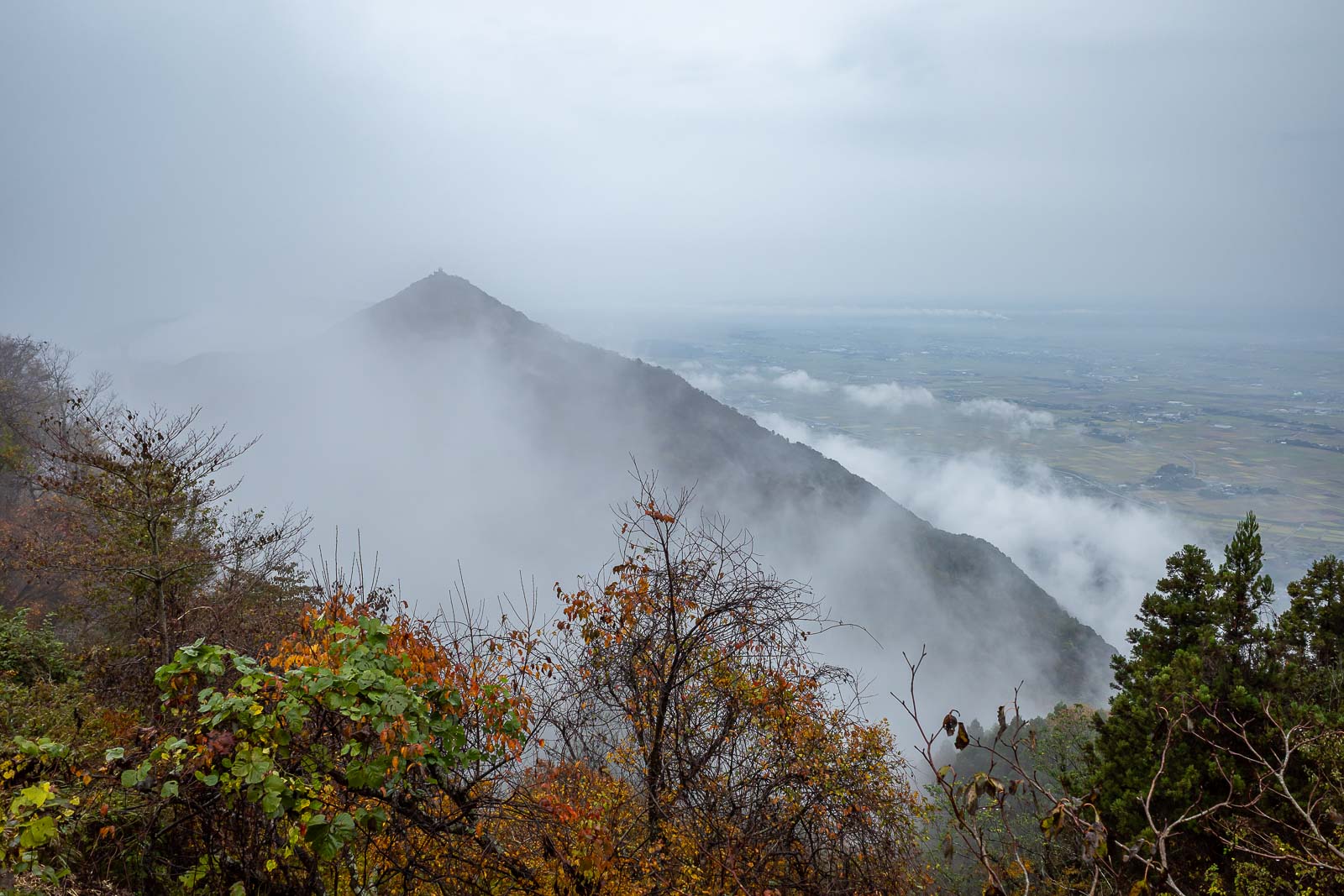
I will now go that way, and up and over that next peak. It looks damp.
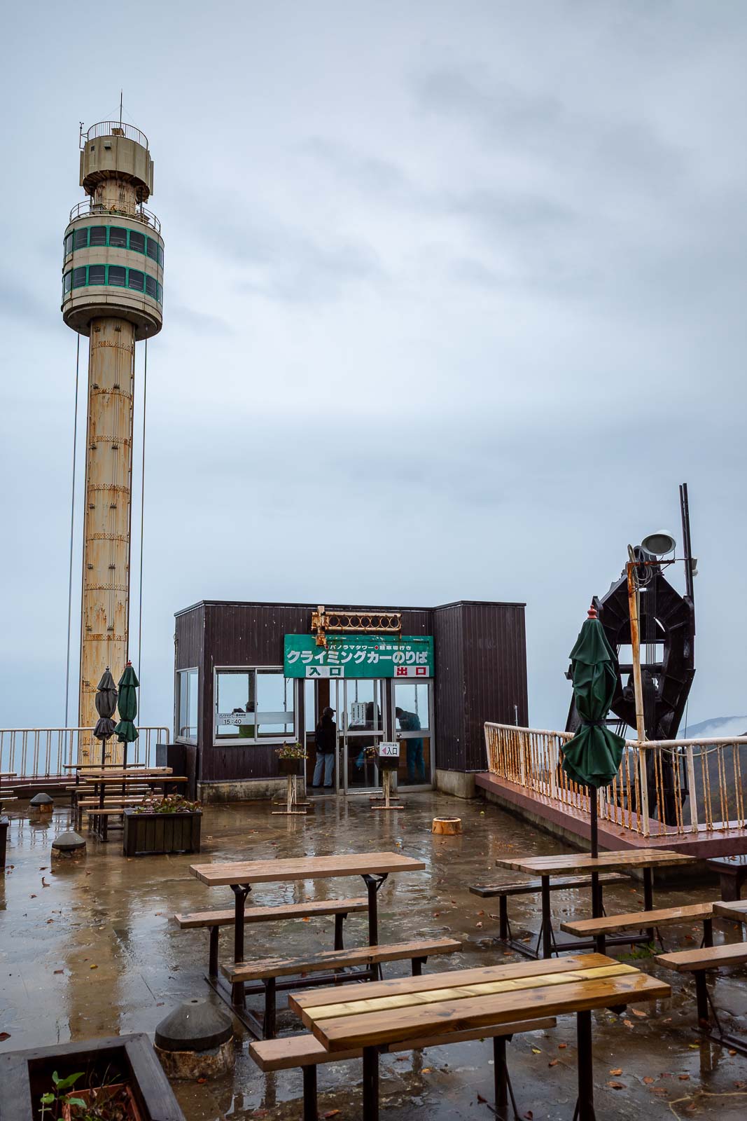
First photo of the mystery pole. It is actually a rotating observation tower, the ring around the pole rotates as it ascends, so that old folks can see North Korea.
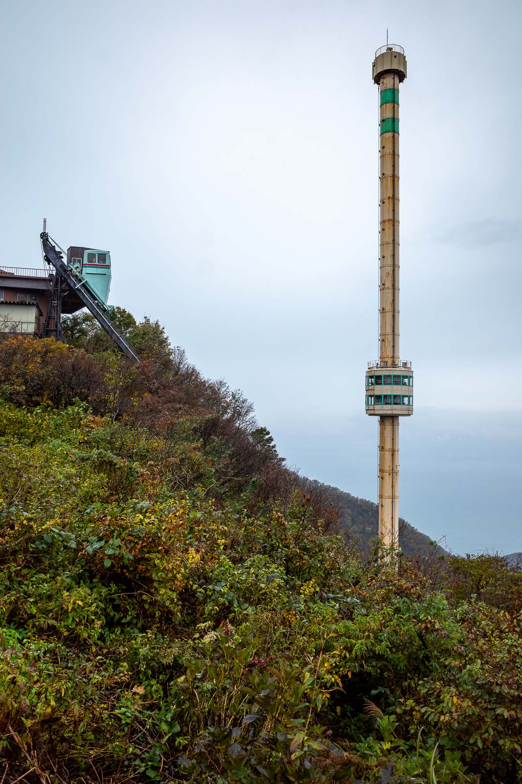
A strange concept, and looks quite old and dangerous to me, I will risk the hiking trail instead.
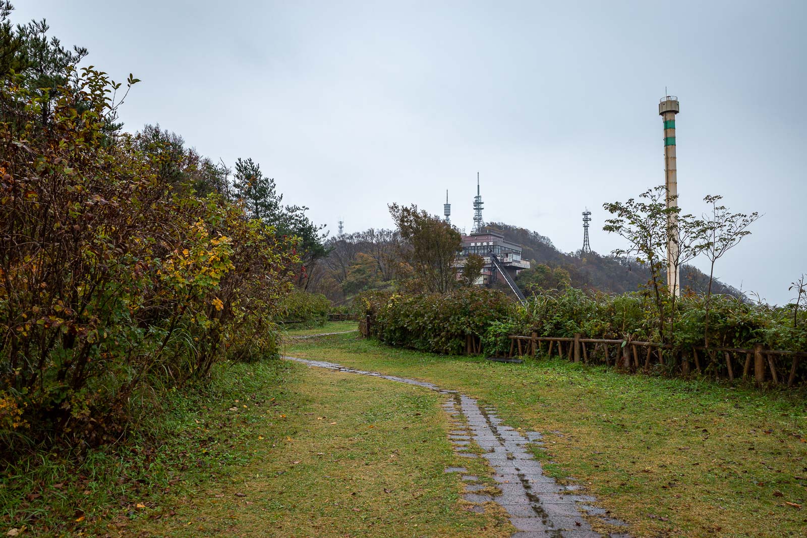
The area around the mystery pole has a lot of gardens. There is actually a road up too, I crossed it but you never have to hike along it.
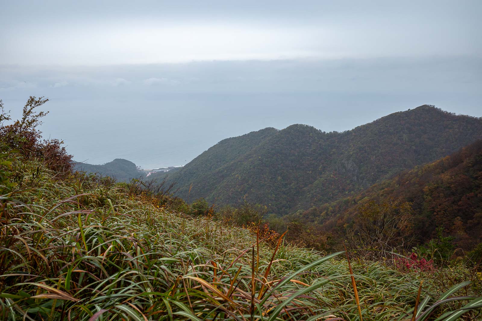
A bit more ocean, it looks like the horizon is crooked but that is a band of cloud.
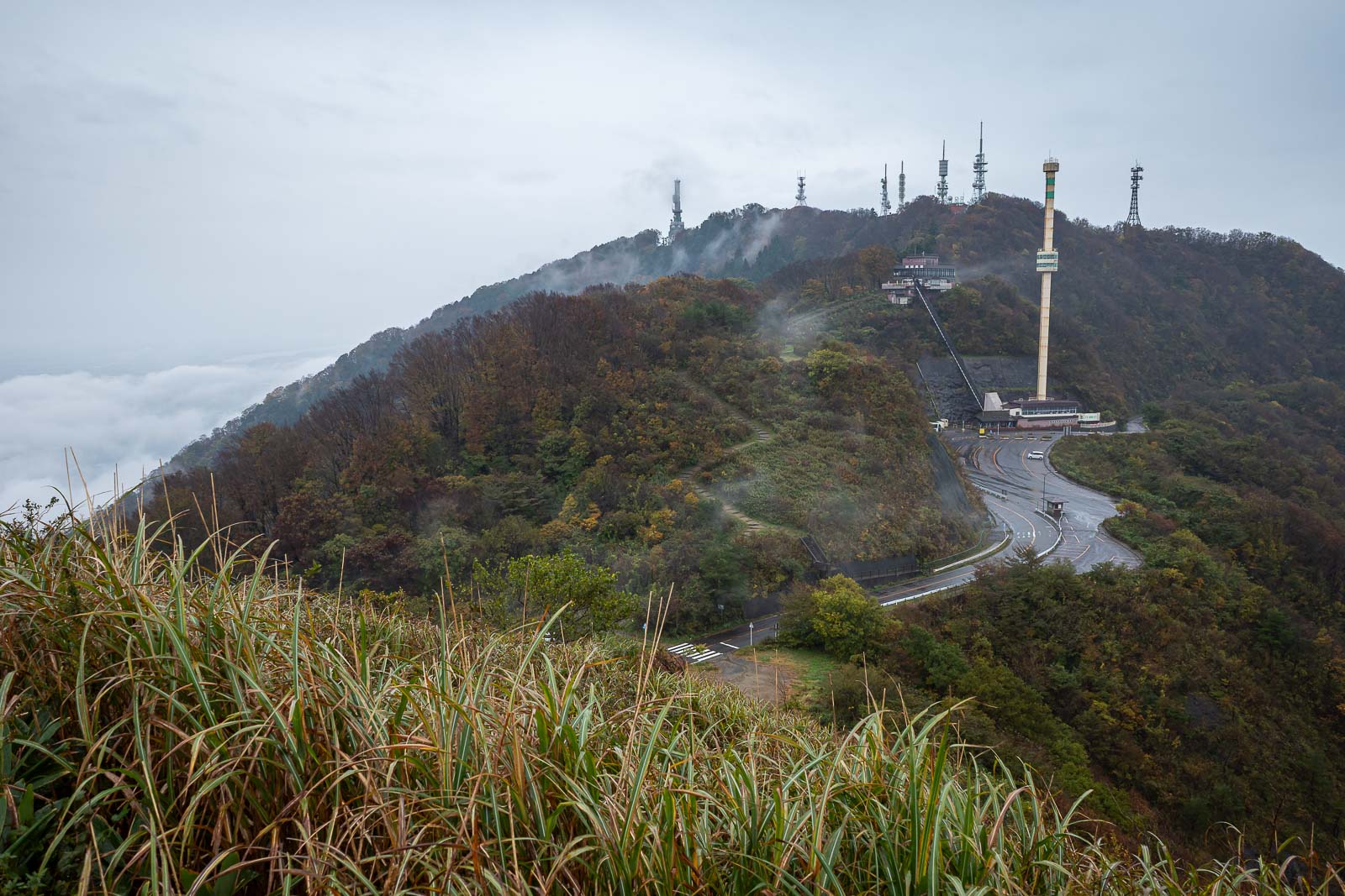
As I ascended the next peak, I looked back at the mystery pole and the many, many, communications towers. Sea of cloud on the left.
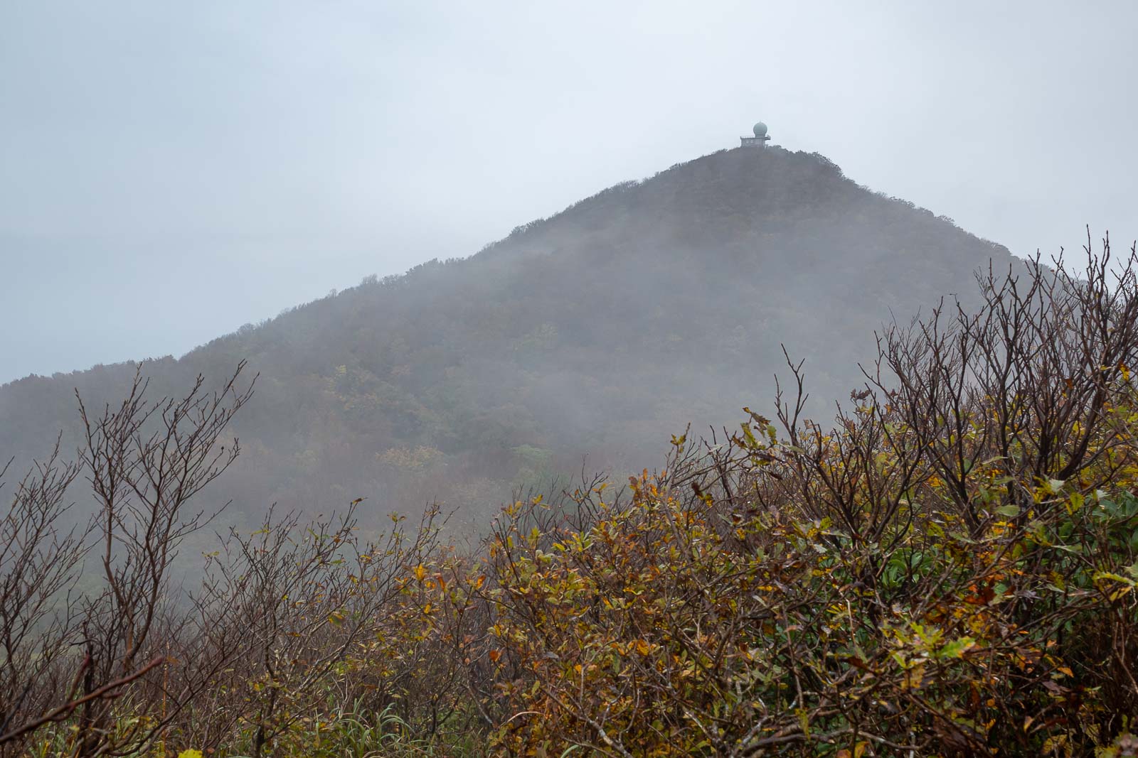
Now I shall head to the observatory on the next peak.
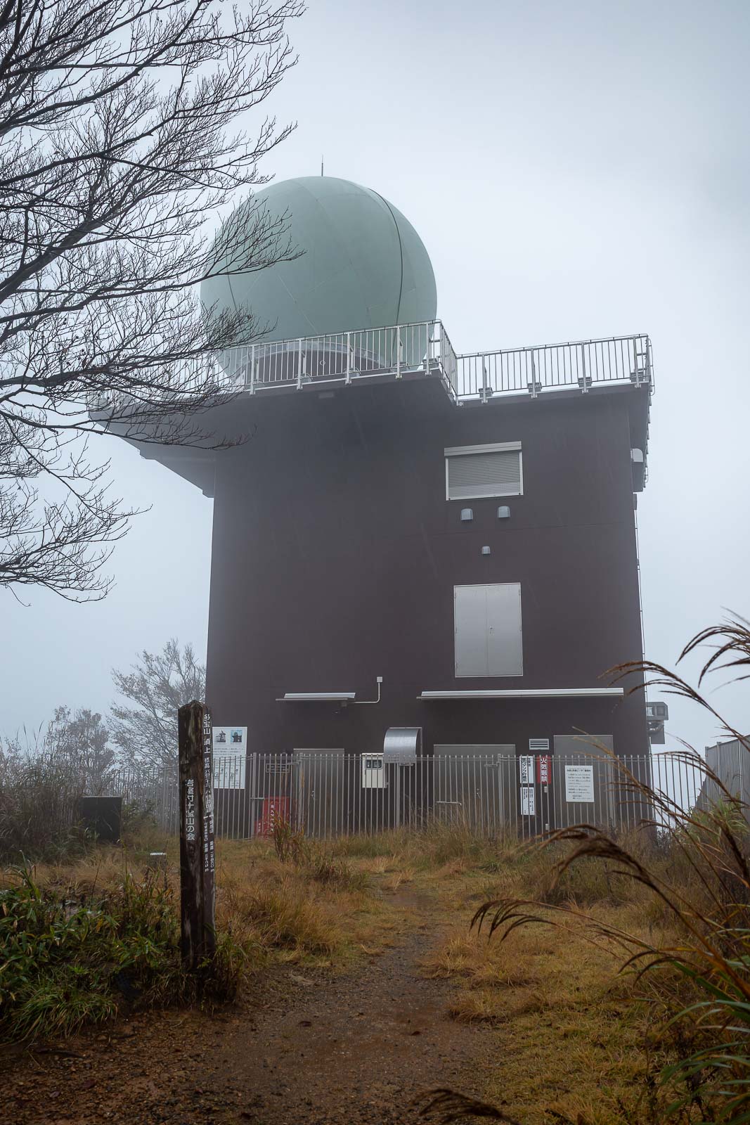
You guessed right, the next photo is the observatory.
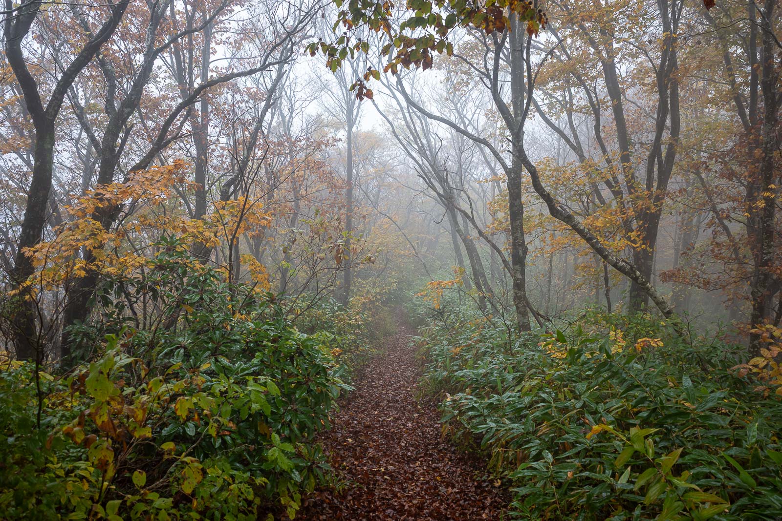
No more people beyond the observatory, just a truly wonderful trail.
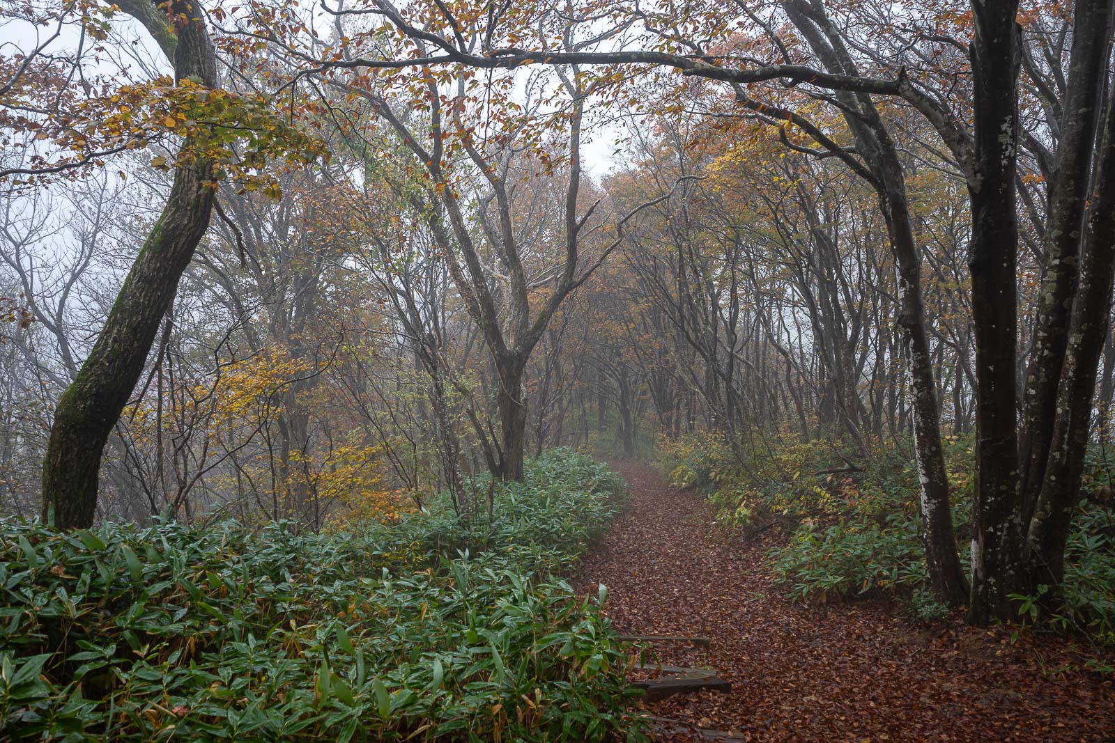
A bit of fog for a few hours.
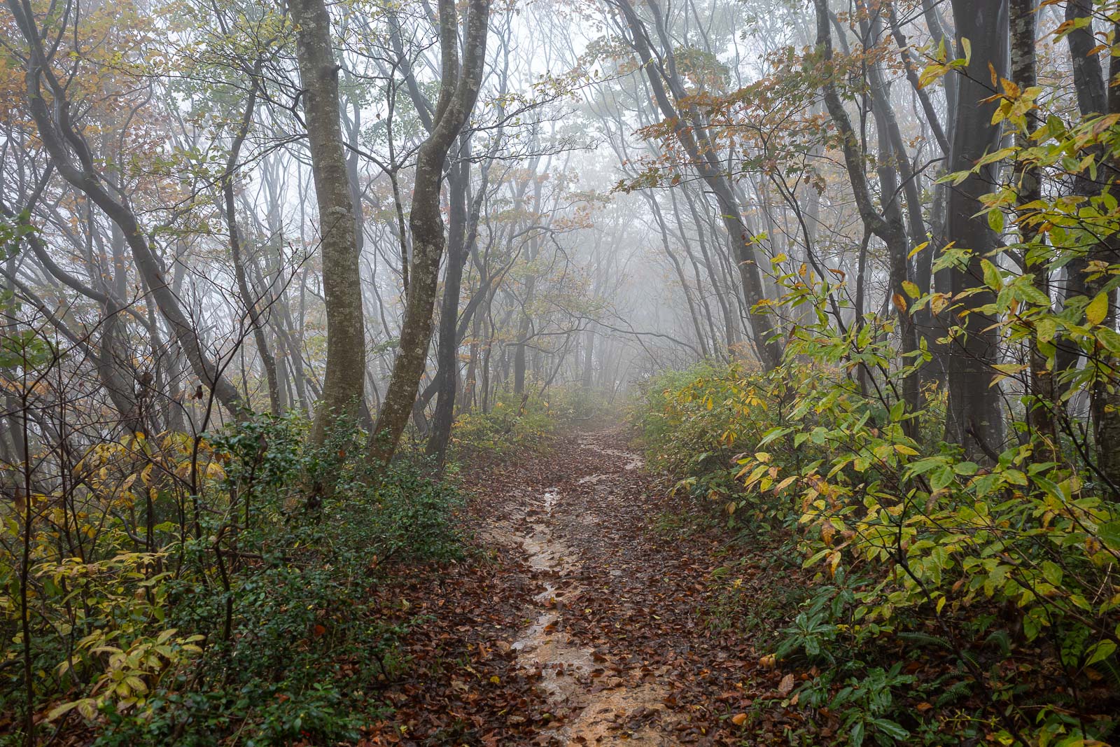
A small river runs down the trail. My feet finally got wet. I am once again drying my shoes with a hair dryer as I type this.
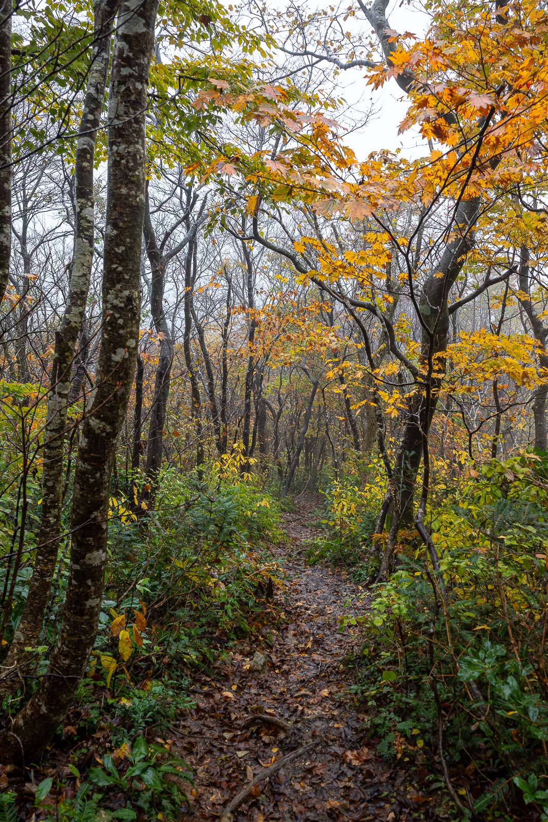
Below the fog. The trail was really quite spectacular, even though it is not peak autumn yet.
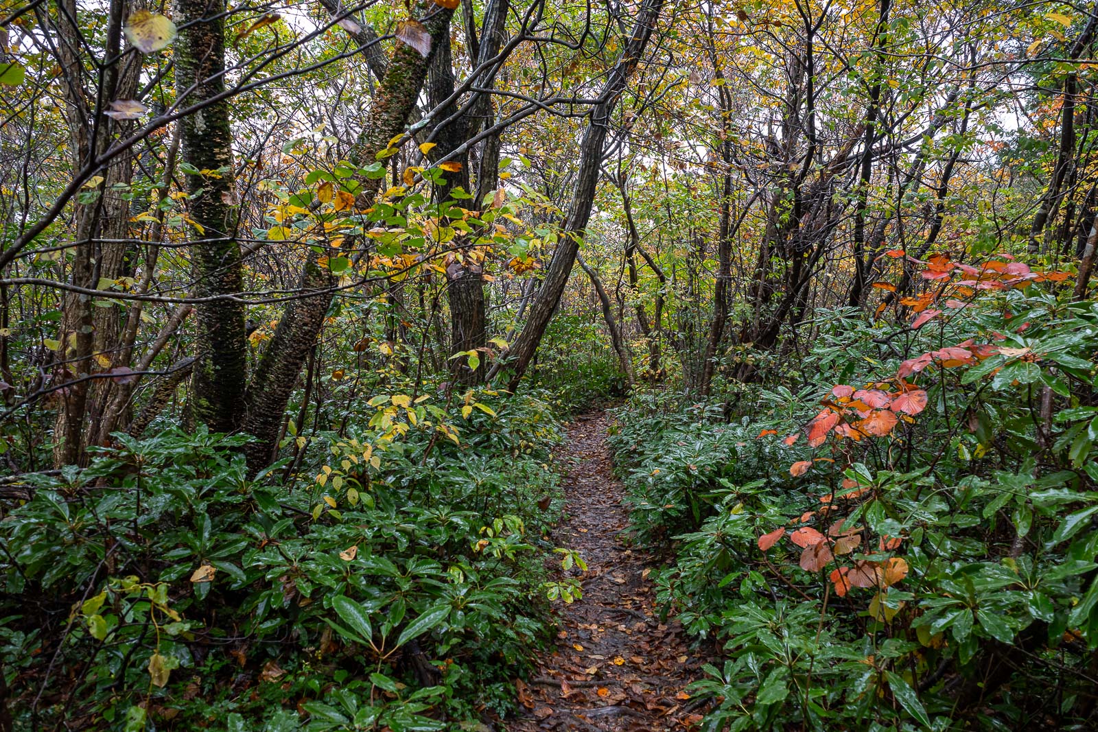
I was struggling to believe this was not all a planted garden.
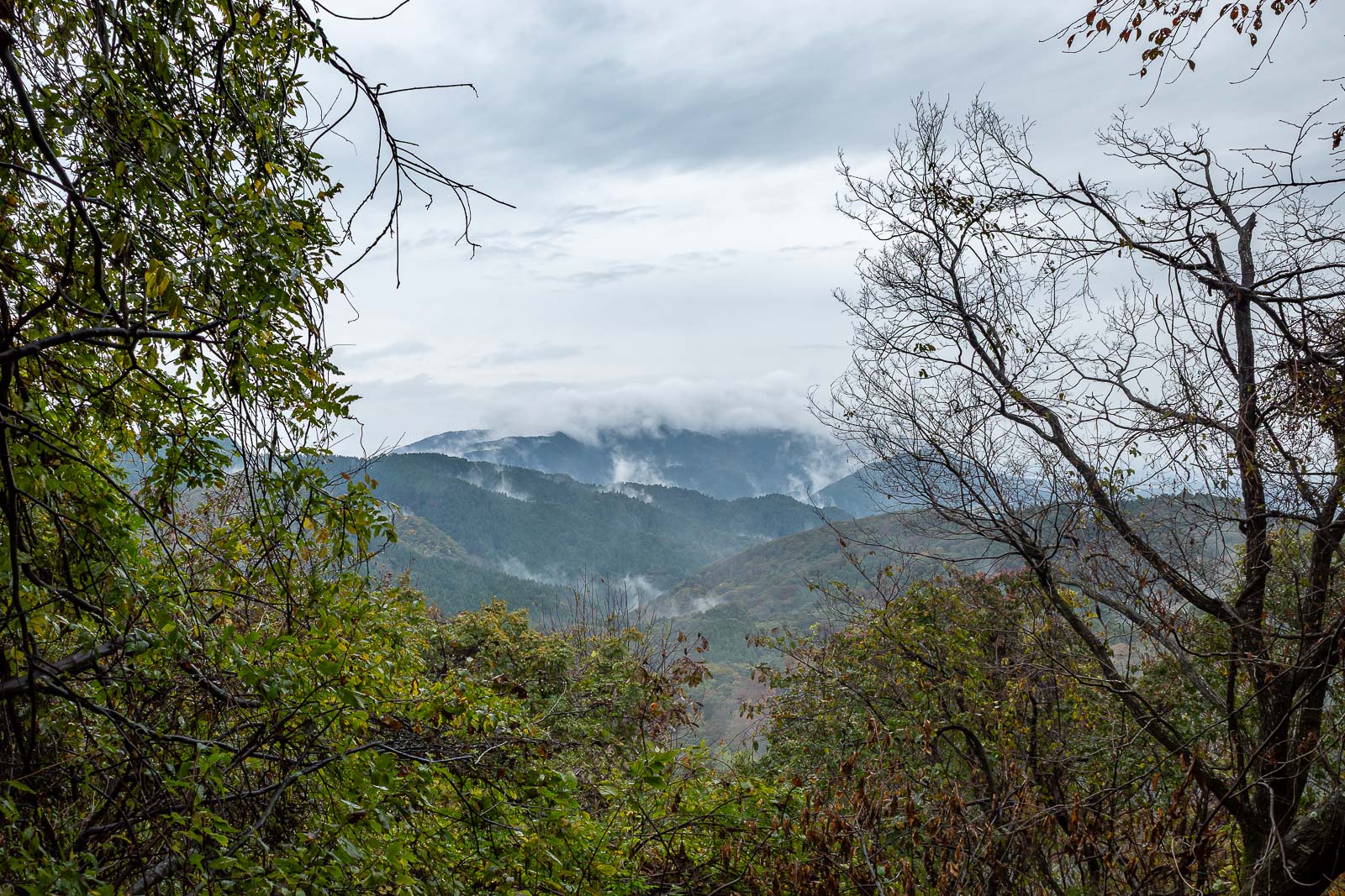
One last look at cloud covered peaks. This is technically the smallest mountain range in all of Japan, I remembered that fact from my last visit. I am hiking the entire length of the smallest mountain range today, in the rain.
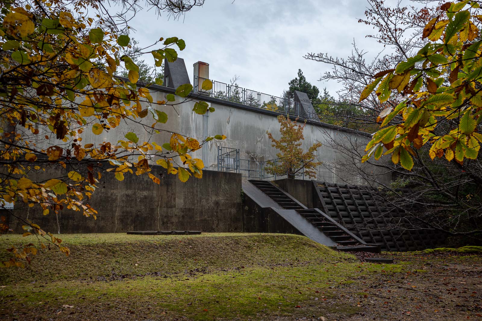
Getting near the end because a dam appeared.
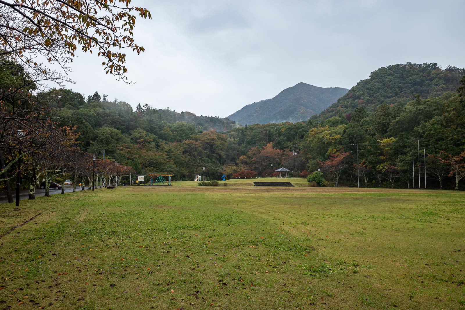
And then I exited into a children's playground, a different point to where I exited on my previous visit, but still 5km to the train. I checked the timetable, time to run to meet a train, a fun activity I enjoy.
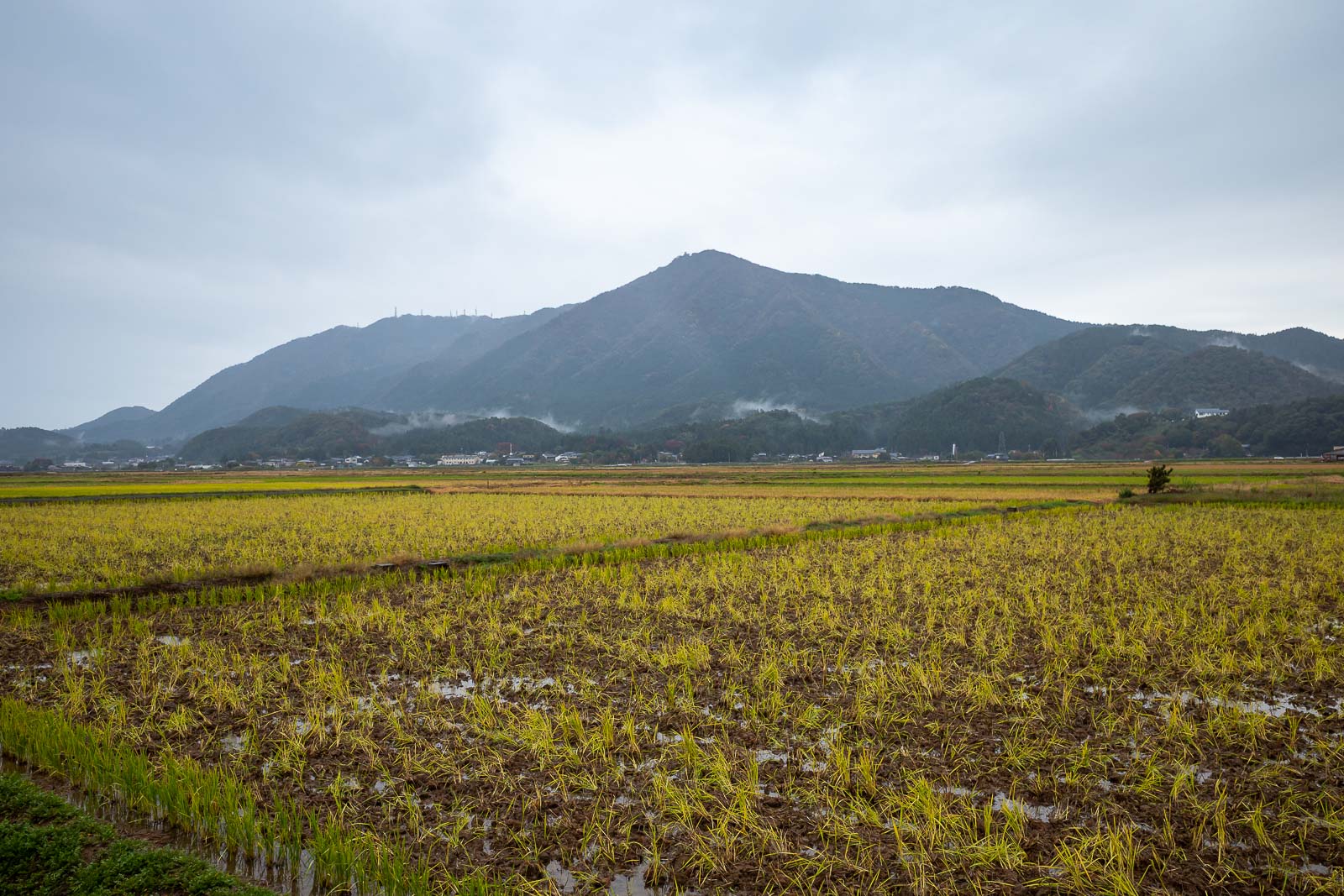
There it is, the full Yahiko range. The weather was getting a bit better now too.
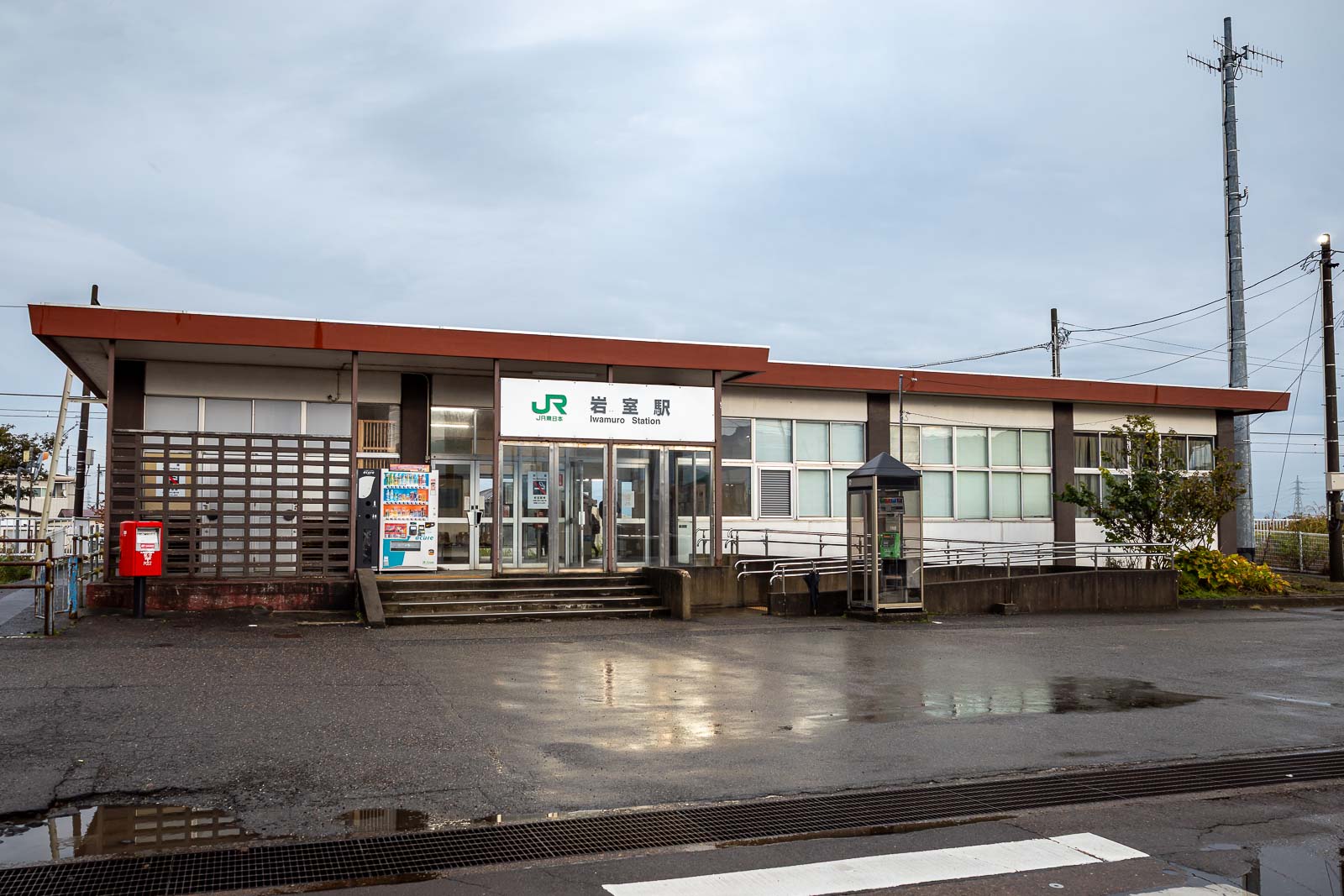
And finally, Iwamuro station, with just a hint of sunshine. Great hike today.