3 November 2025
Low short and great
Higashiyama from Itayado to Sumaurakoen station
Today was a shorter hike up and down 2 hills that can barely be described as mountains, despite the abundance of cable cars.
The view however was amazing, so I was very happy with my decision to pick on this smaller 'mountain' range.
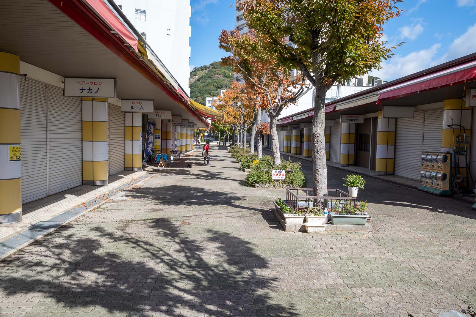
I could have actually walked to the start point from down town Sannomiya, but I did take a train to Itayado station, and of course, there was a covered shopping street right there, at the start of the hike.
A lot of view shots below, so lets get straight to the stats -
18,500 steps
8.92km - short, but some rocky bits
3 hours 19 minutes - no running today
639m vertical ascent - more than I expected
781 calories burned - I need to burn more or eat less
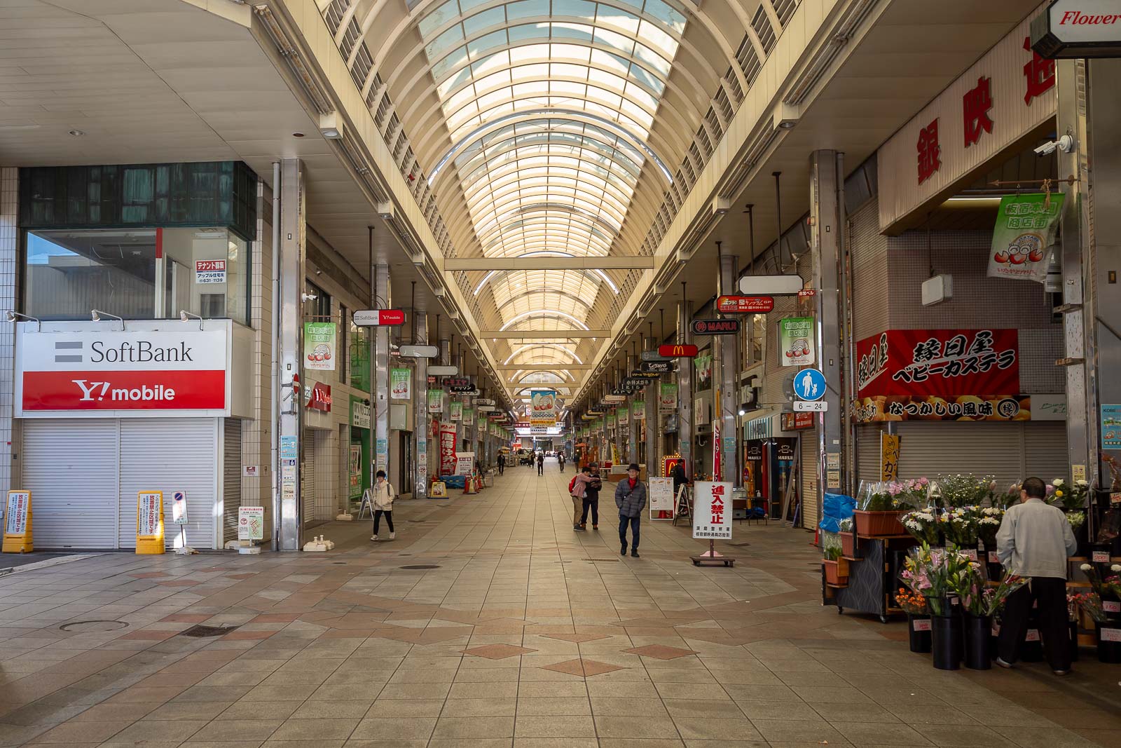
As mentioned, Itayado station has it's own Shotengai, everywhere in Kobe does.
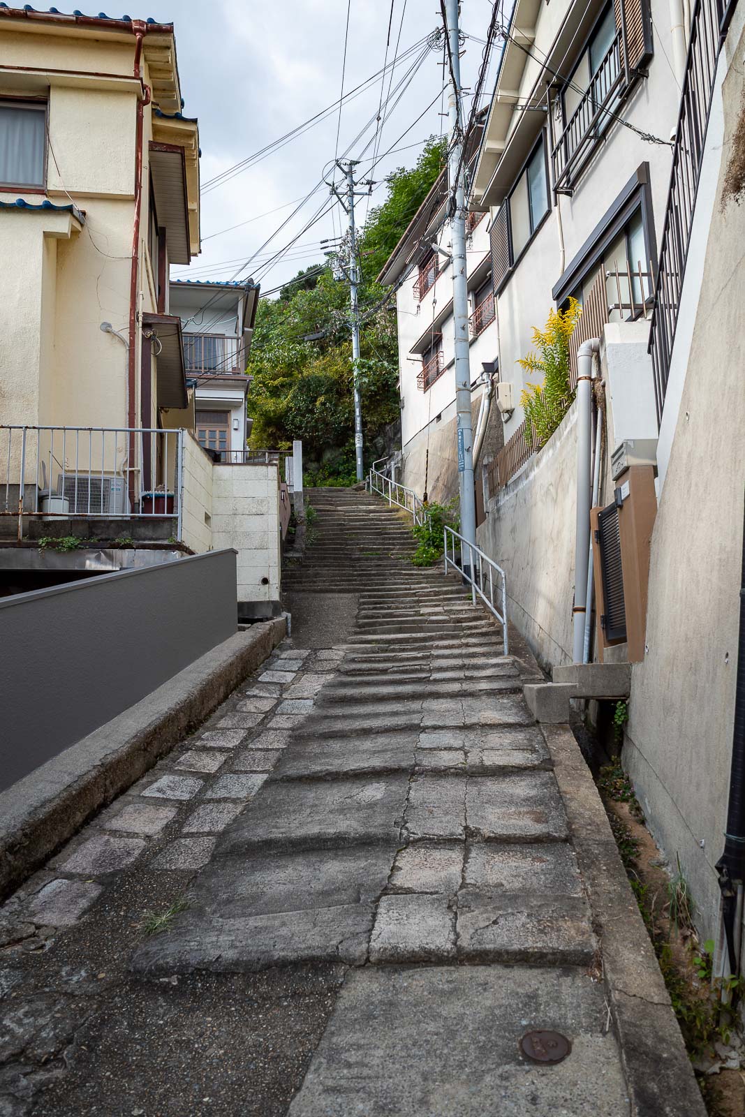
I followed my map a couple hundred metres through alleyways to this staircase, which is the start of the hike proper.
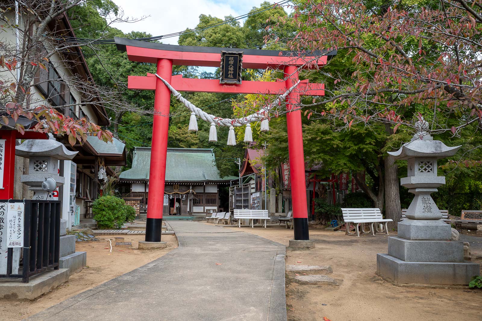
Obviously there is a shrine.
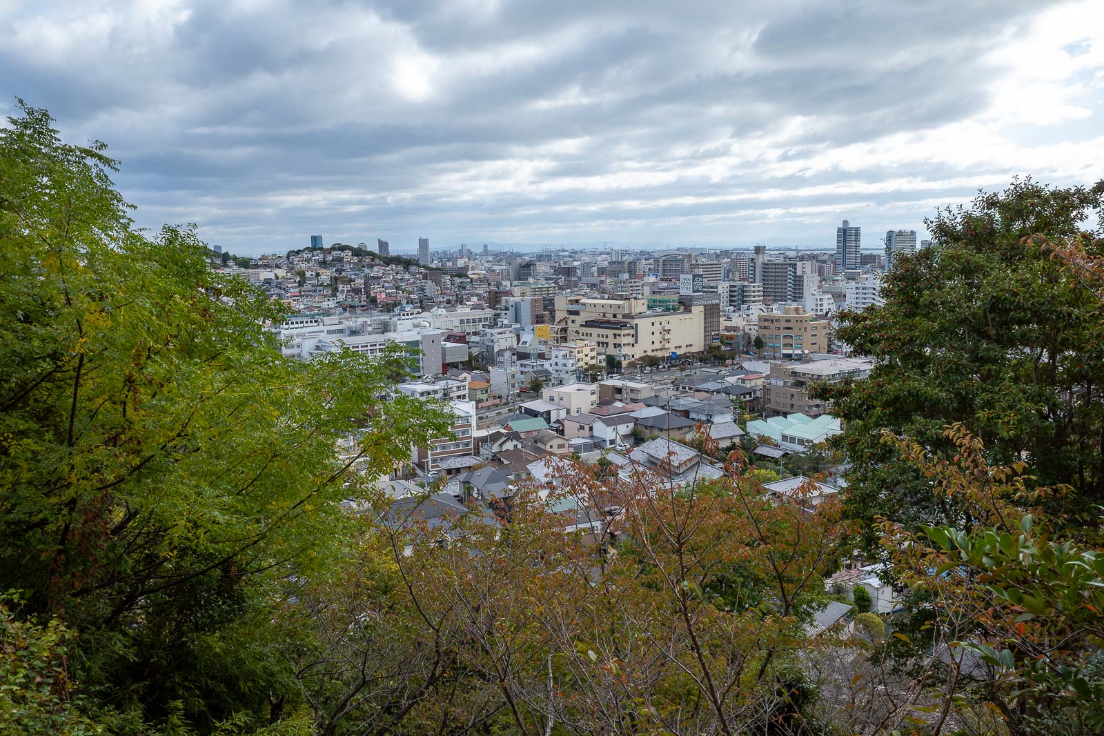
Low view was already good. Cloud here looks cloudier than it was.
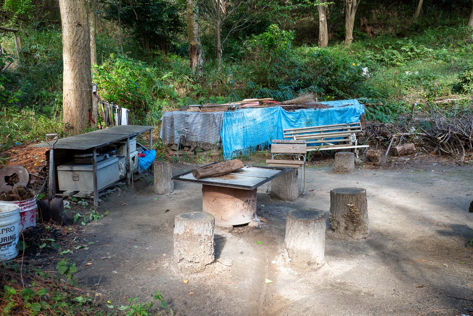
Soon after the shrine, an old man hang out spot. They were nearby collecting pine cones. For what purpose I have no idea.
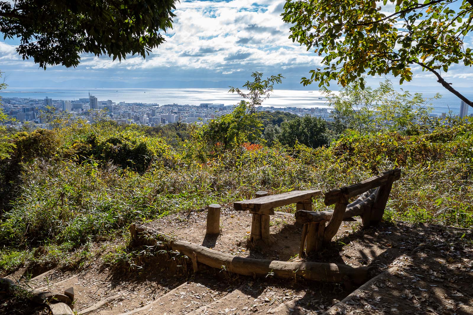
Next view, into the sun, with the ocean. A lot of sun and ocean today.
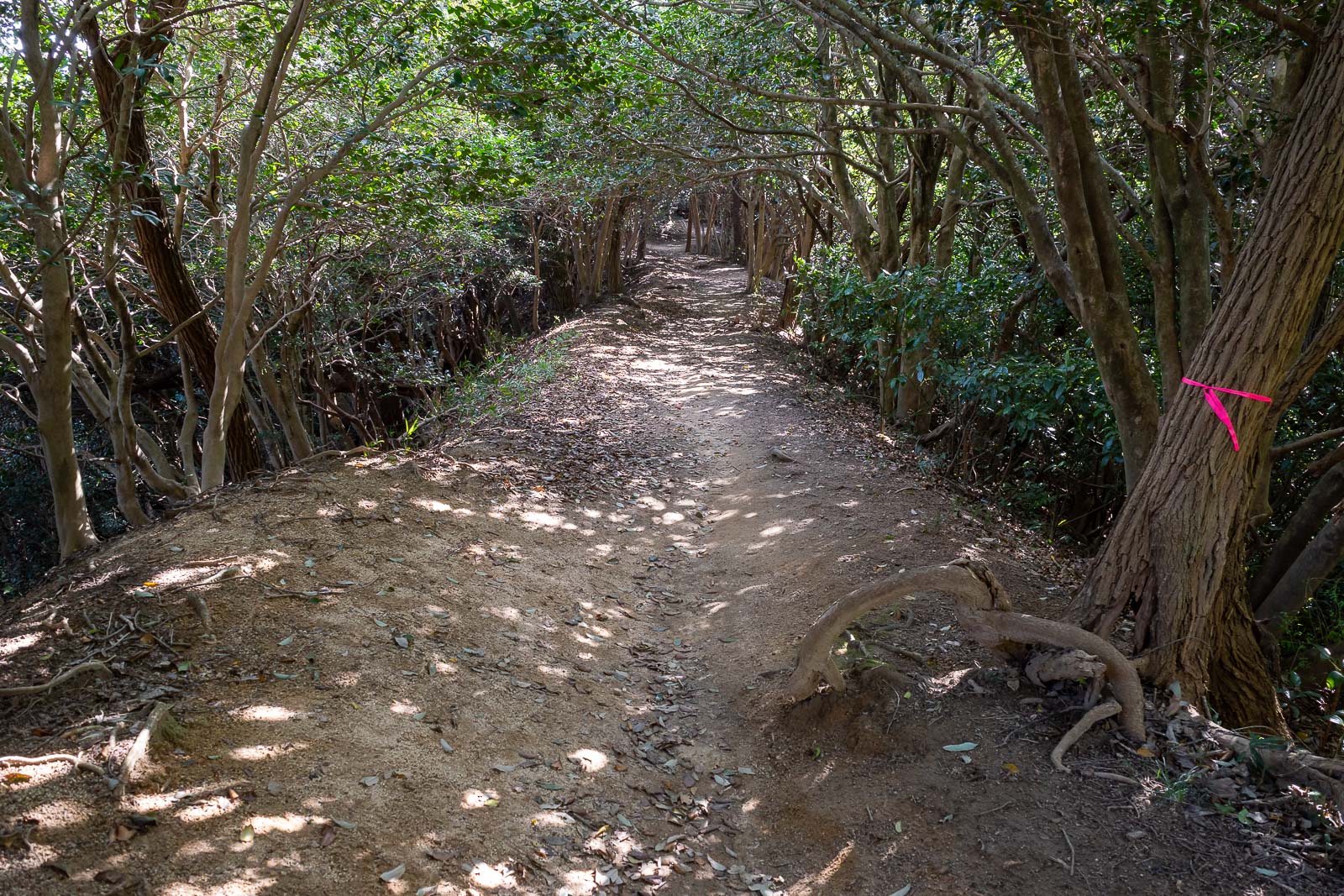
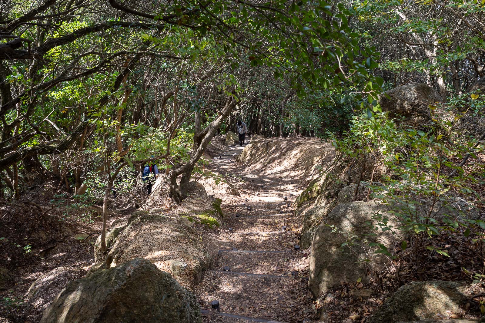
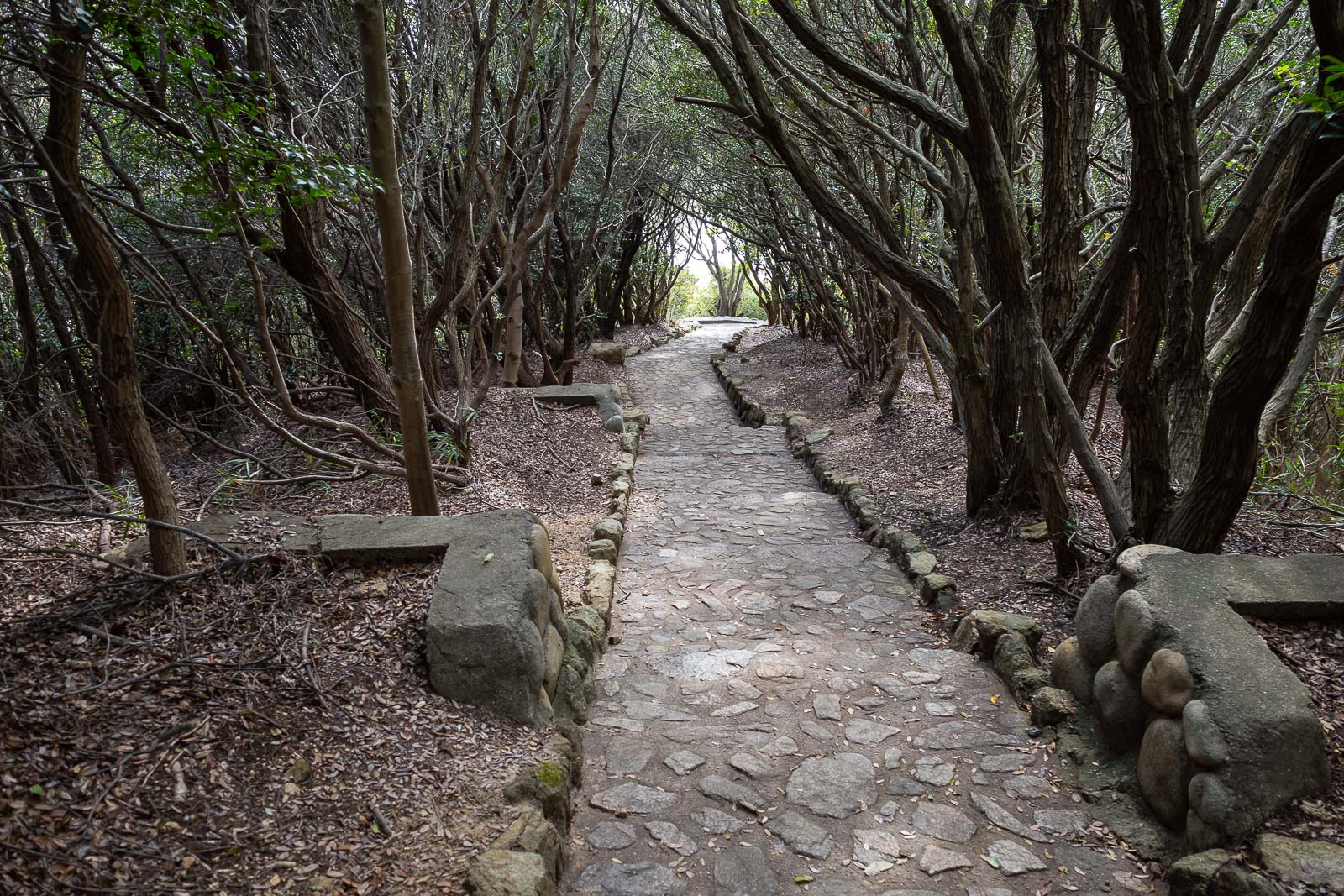
The hiking trail was nice enough, despite the low altitude. I thought most of it would be just like this.
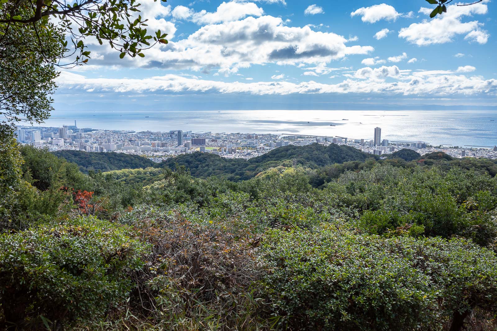
More view.
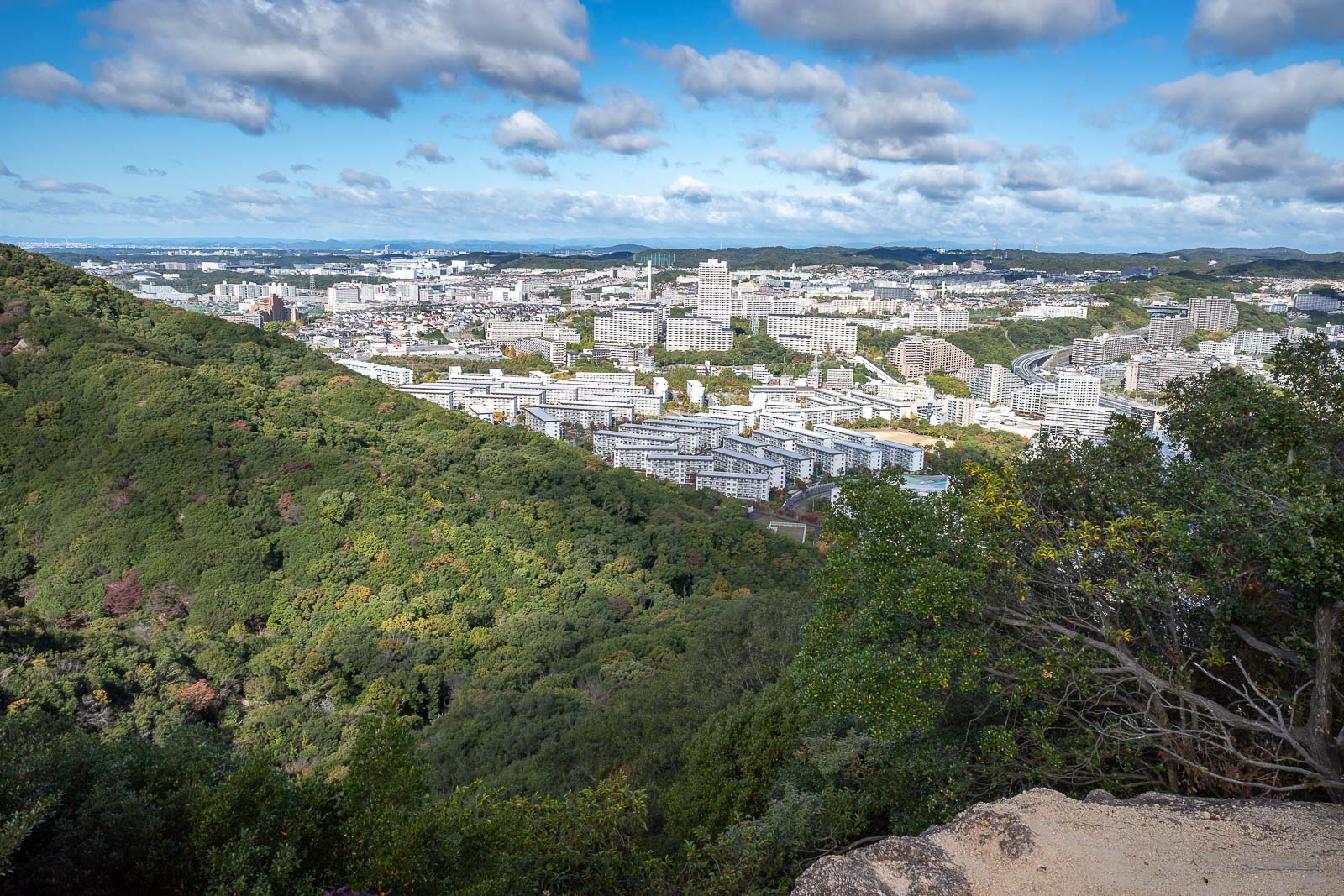
I thought the rocks and gravel on today's trail reminded me of South Korean hikes, and then these apartments also reminded me of Korea.
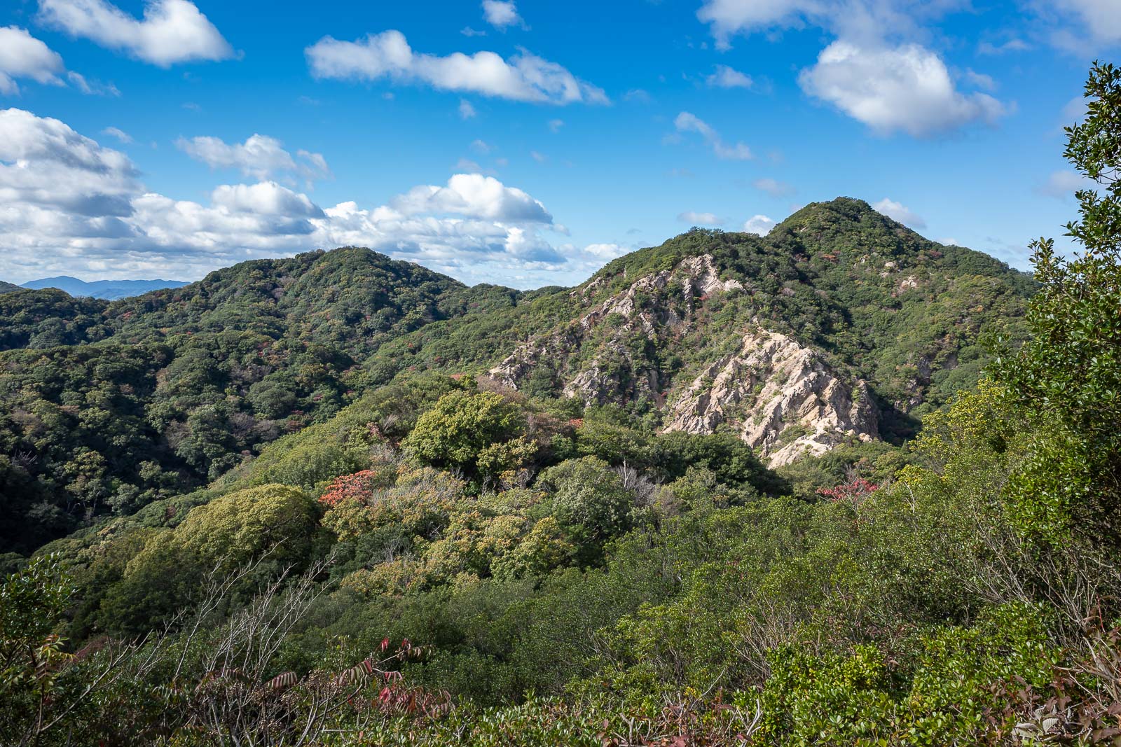
Hmm, that looks exciting.
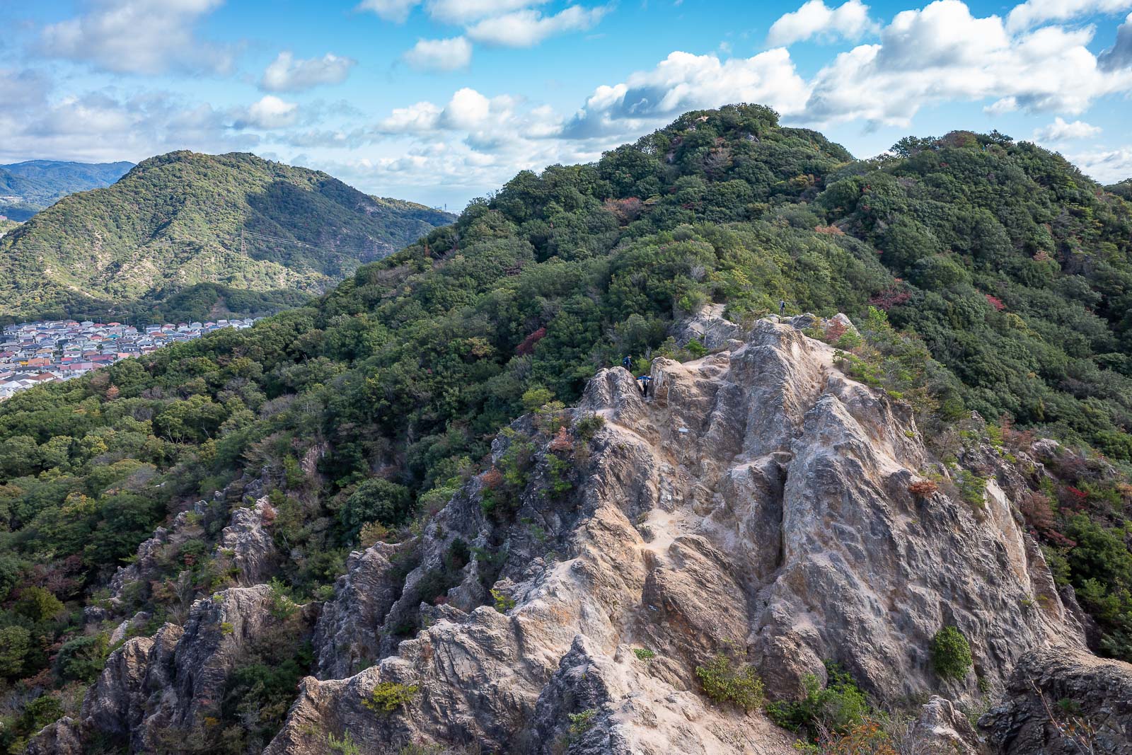
It looks like I will head up the rocky ridge.
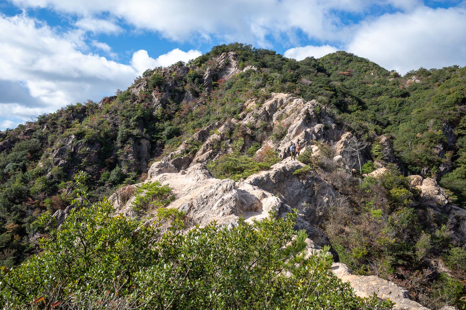
There were a lot of other people along this section, today is a national holiday, culture day.
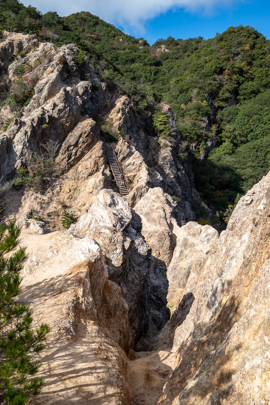
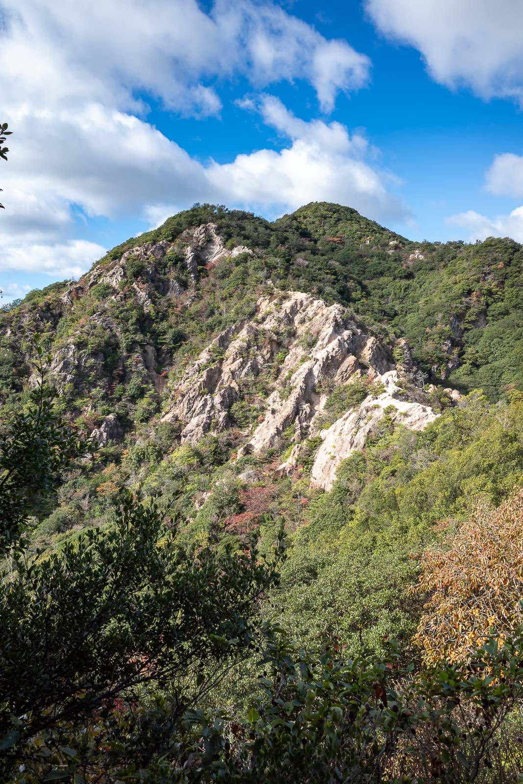
Surprisingly, parts of this hike required concentration, or else a potential plummet might occur.
Back in the direction from which I had come.
Ridge traverse safely completed.
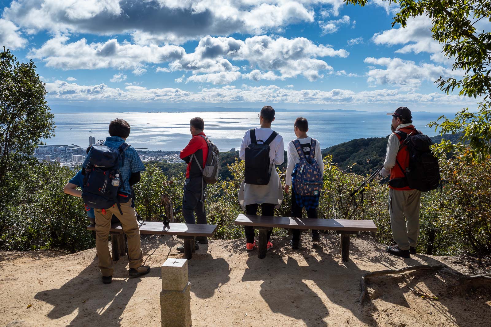
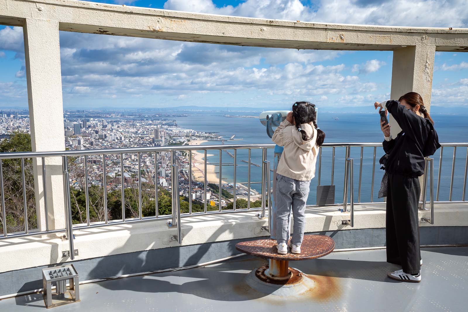
A view of people enjoying the view.
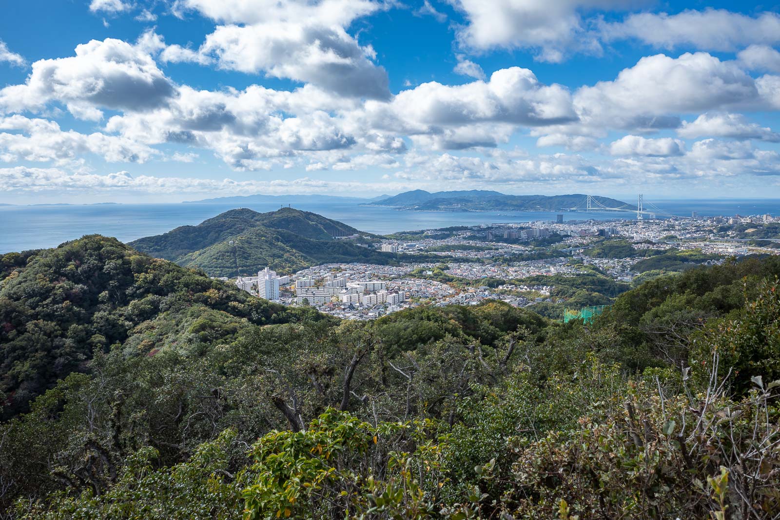
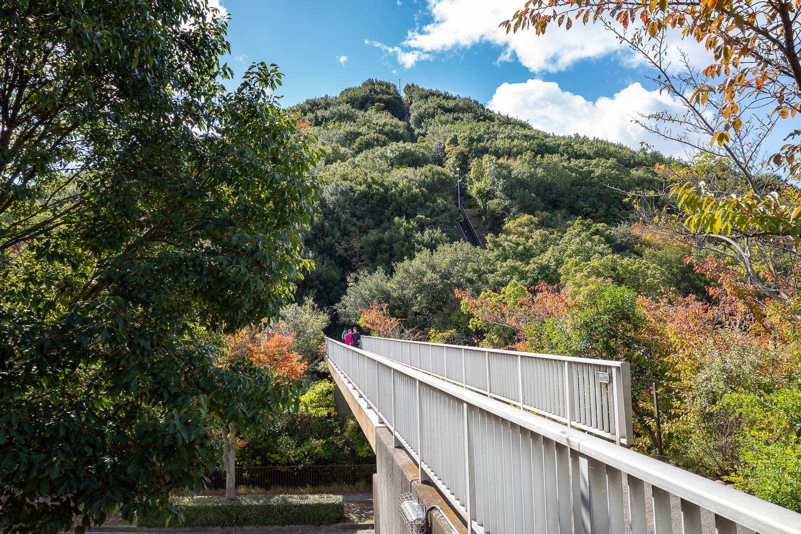
I will continue in this direction, there is the bridge from yesterday.
Redundant similar view to previous photos, enjoy.
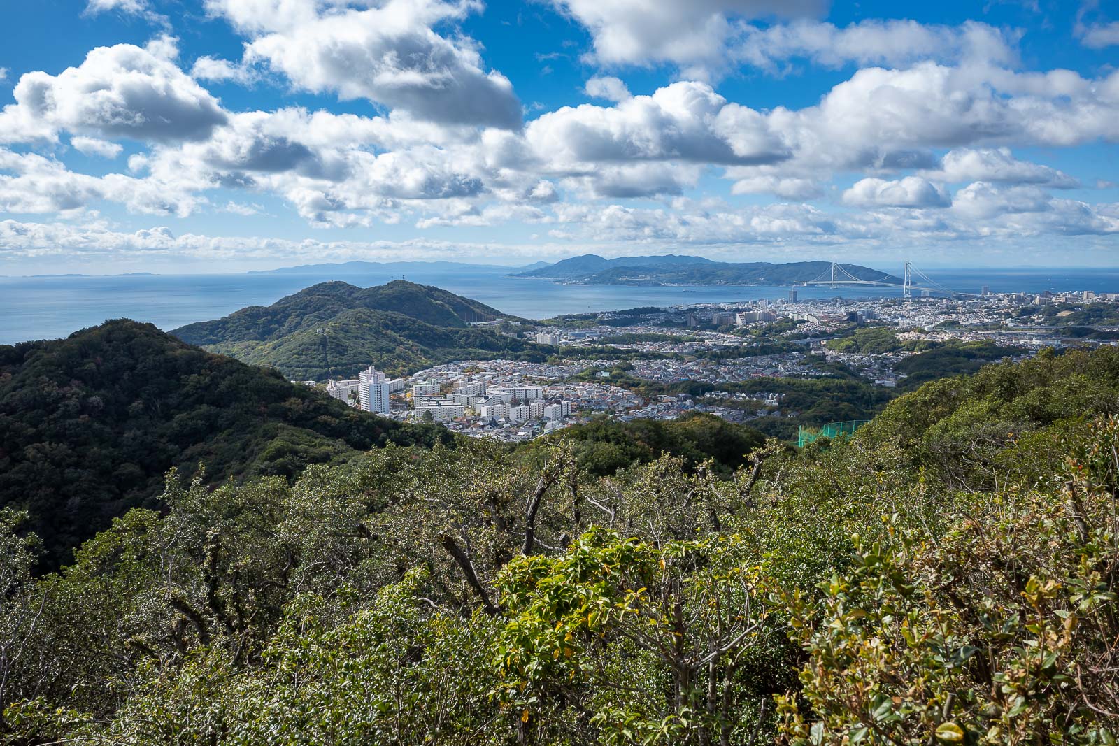
Did I actually take the same photo twice? Too late now, I already exported it.
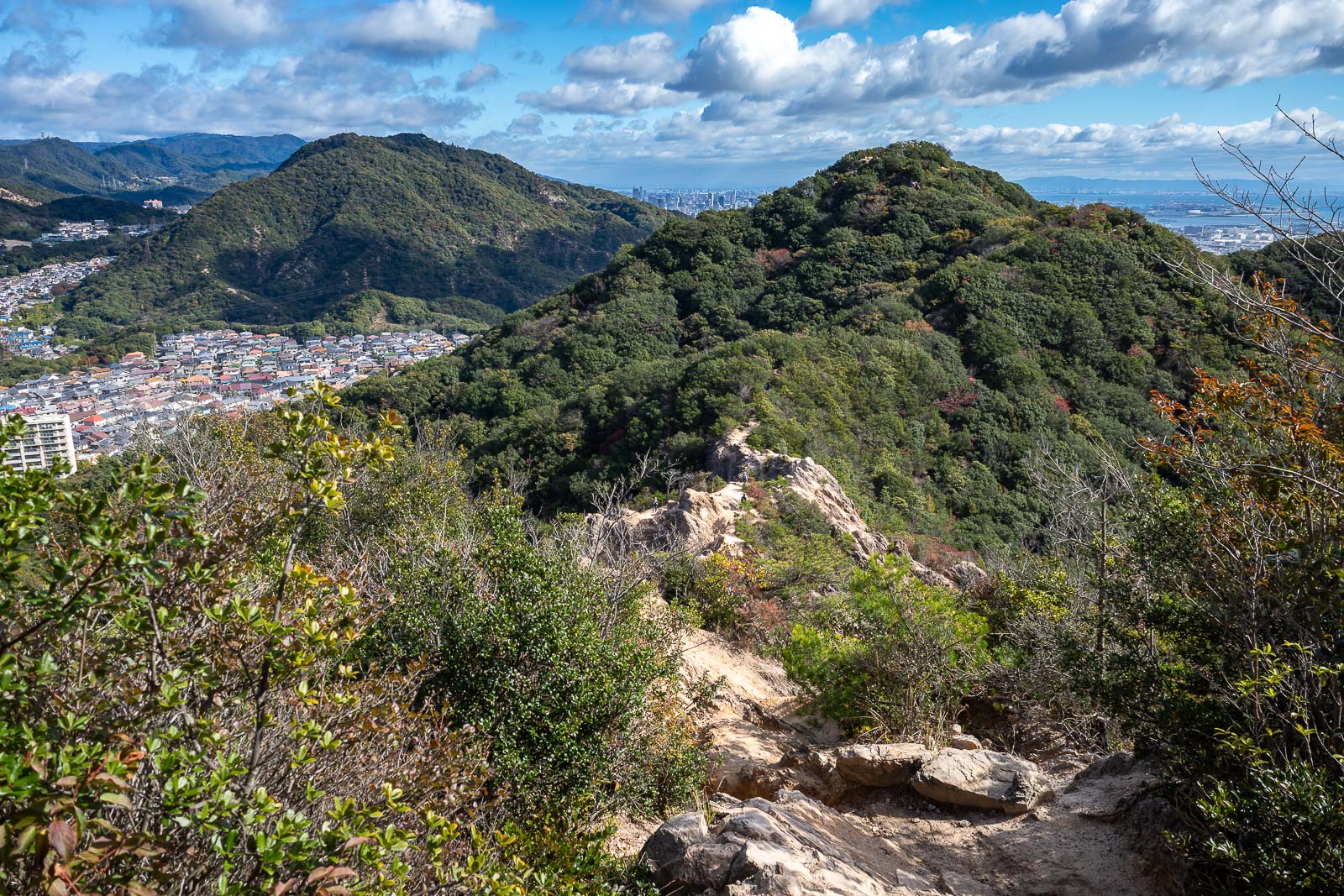
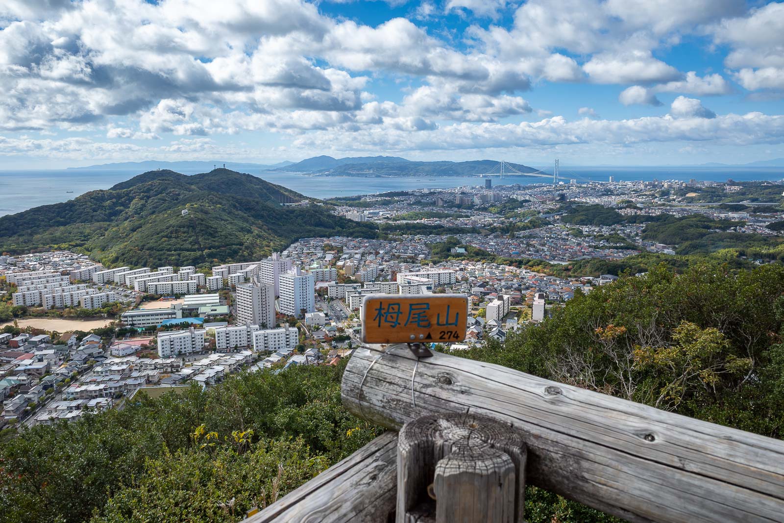
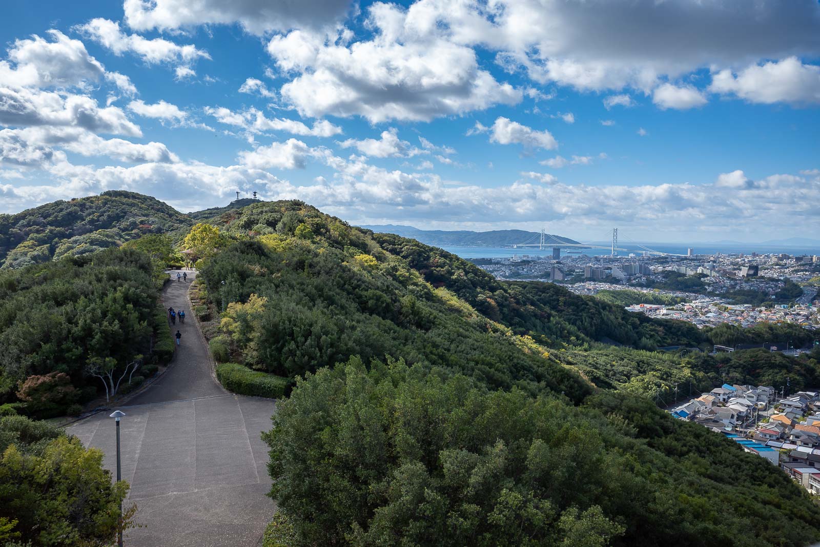
The next peak, according to the map there were 4 or 5 along the trail, I cannot find all their convoluted names now.
Time to head down, through the suburbs, and up that next smaller 'mountain'.
Yes, this hike goes through some apartment buildings, mid hike.
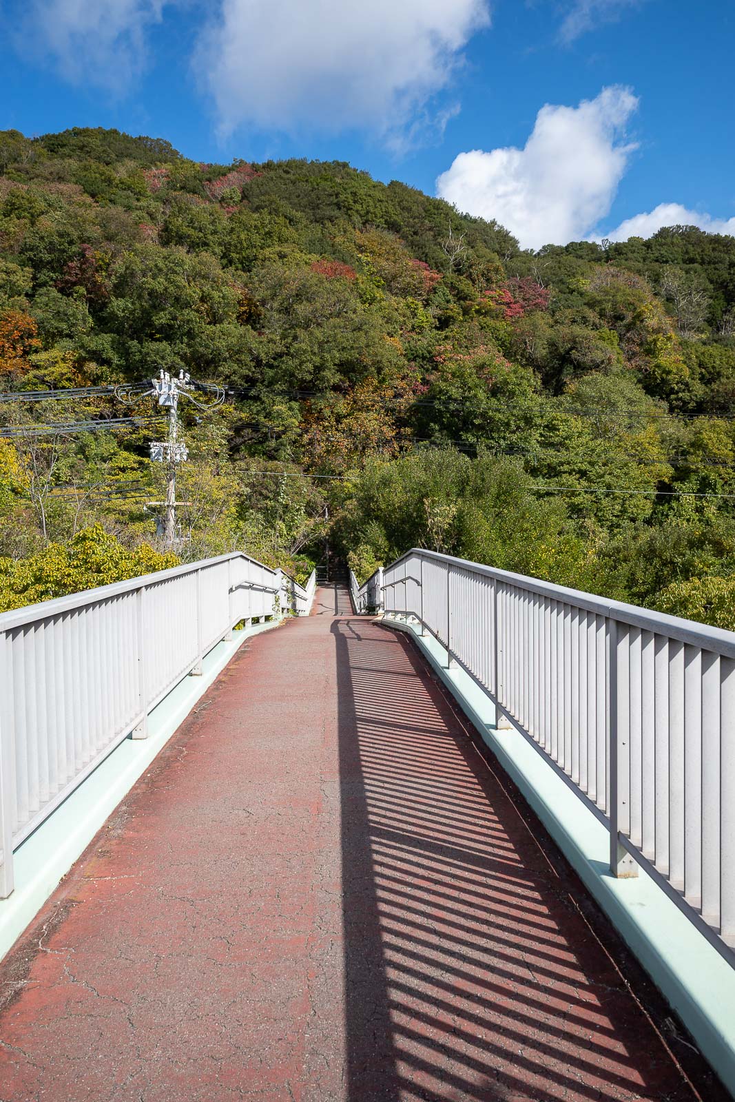
However they have provided bridges and walking paths to link the two.
I stopped here to annoy a very old cat that had no interest in moving at all. The old lady was debating the cat about how lazy it is.
The next small mountain, it appears to have a staircase going up it.
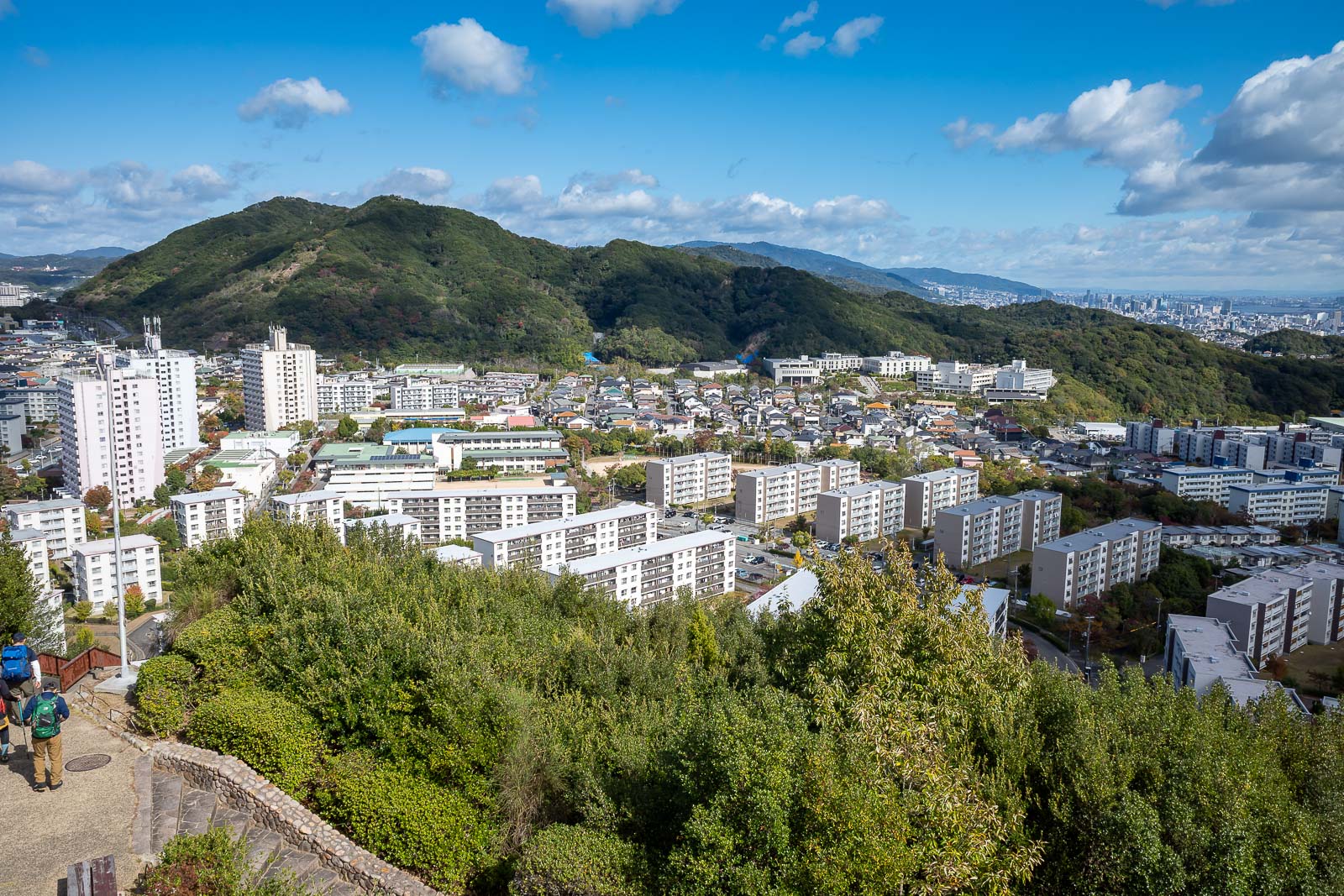
More South Korean style housing. They just lack the big numbers on the side.
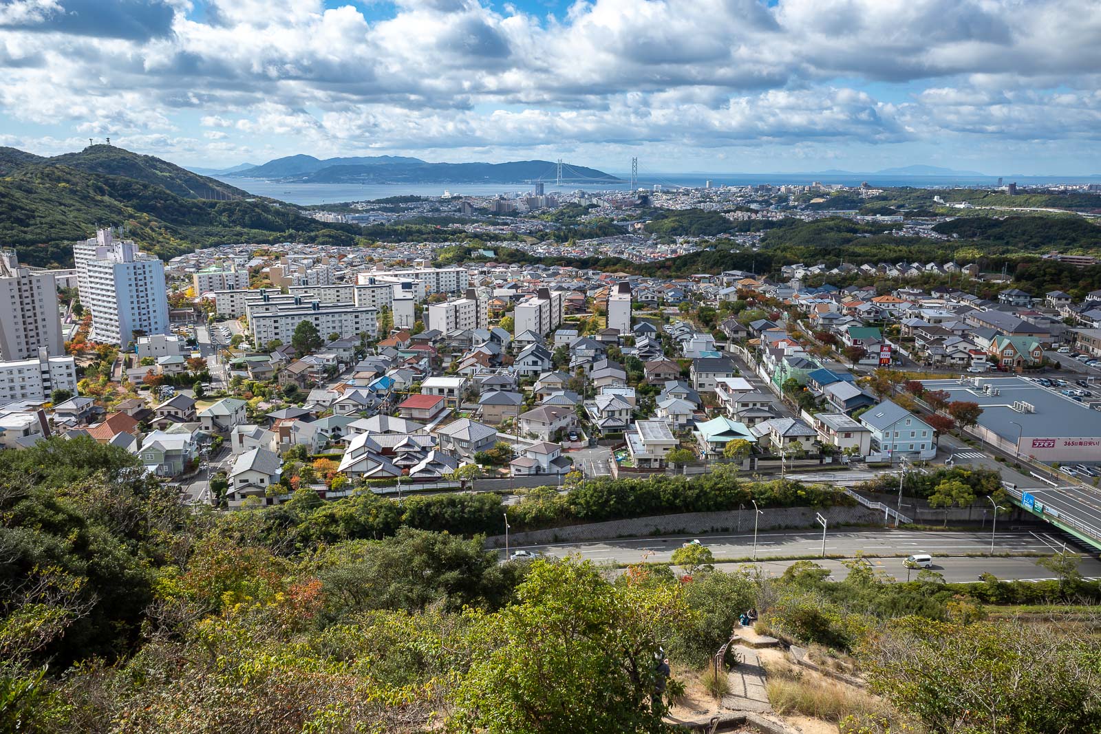
The top of this second mountain is very developed, there are numerous cable cars, you will see more later.
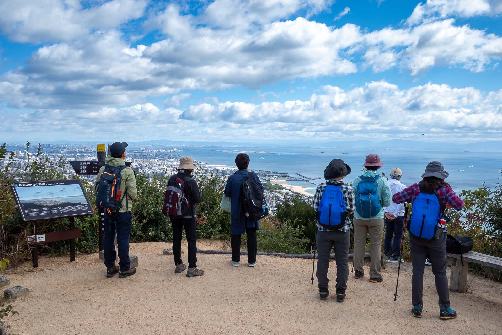
Another view of people enjoying the view.
Surprisingly, the trail then got good again, and not without potential slipping onto your ass areas.
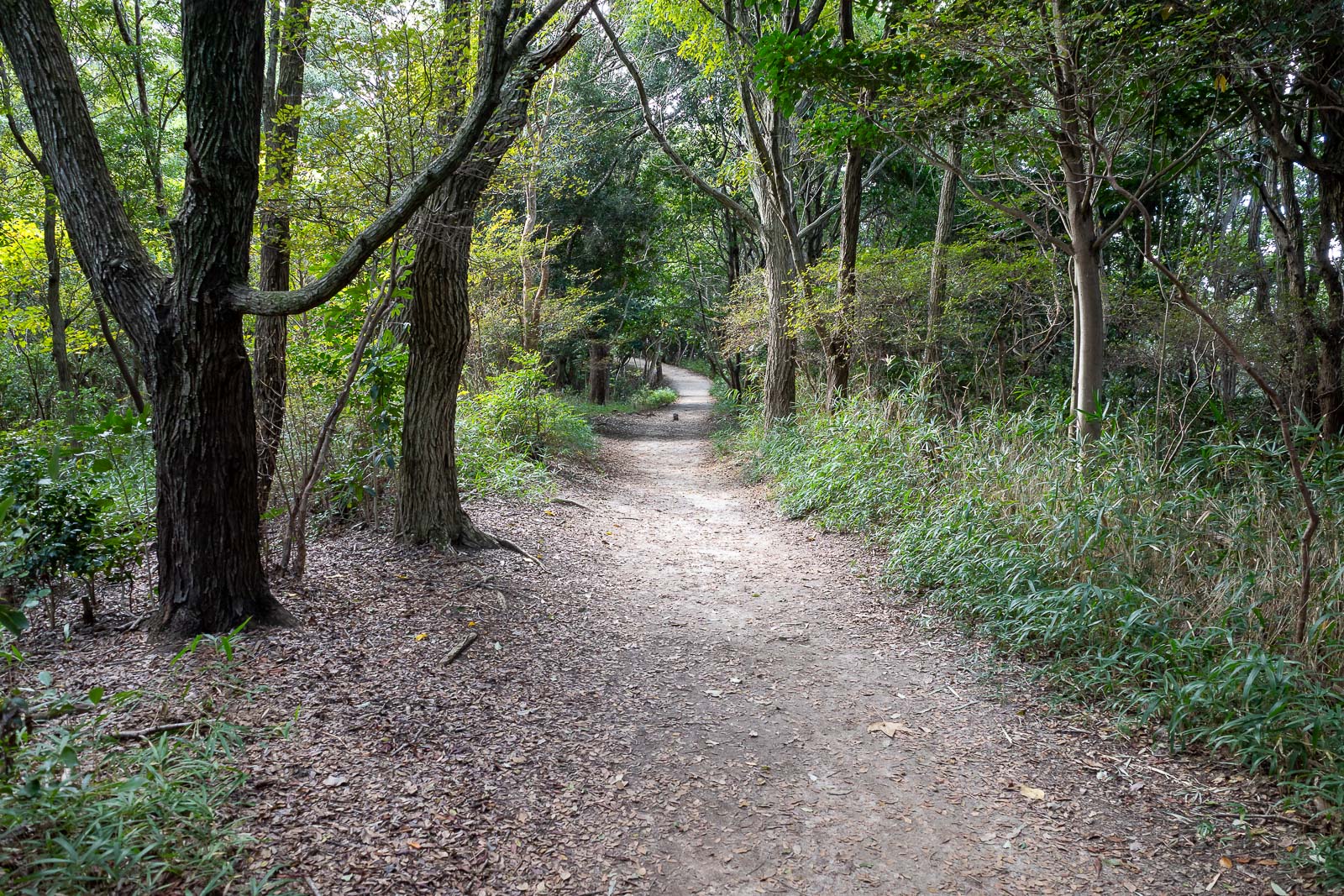
But also nice flat areas, although as mentioned, since it was a shorter hike, I did not run.
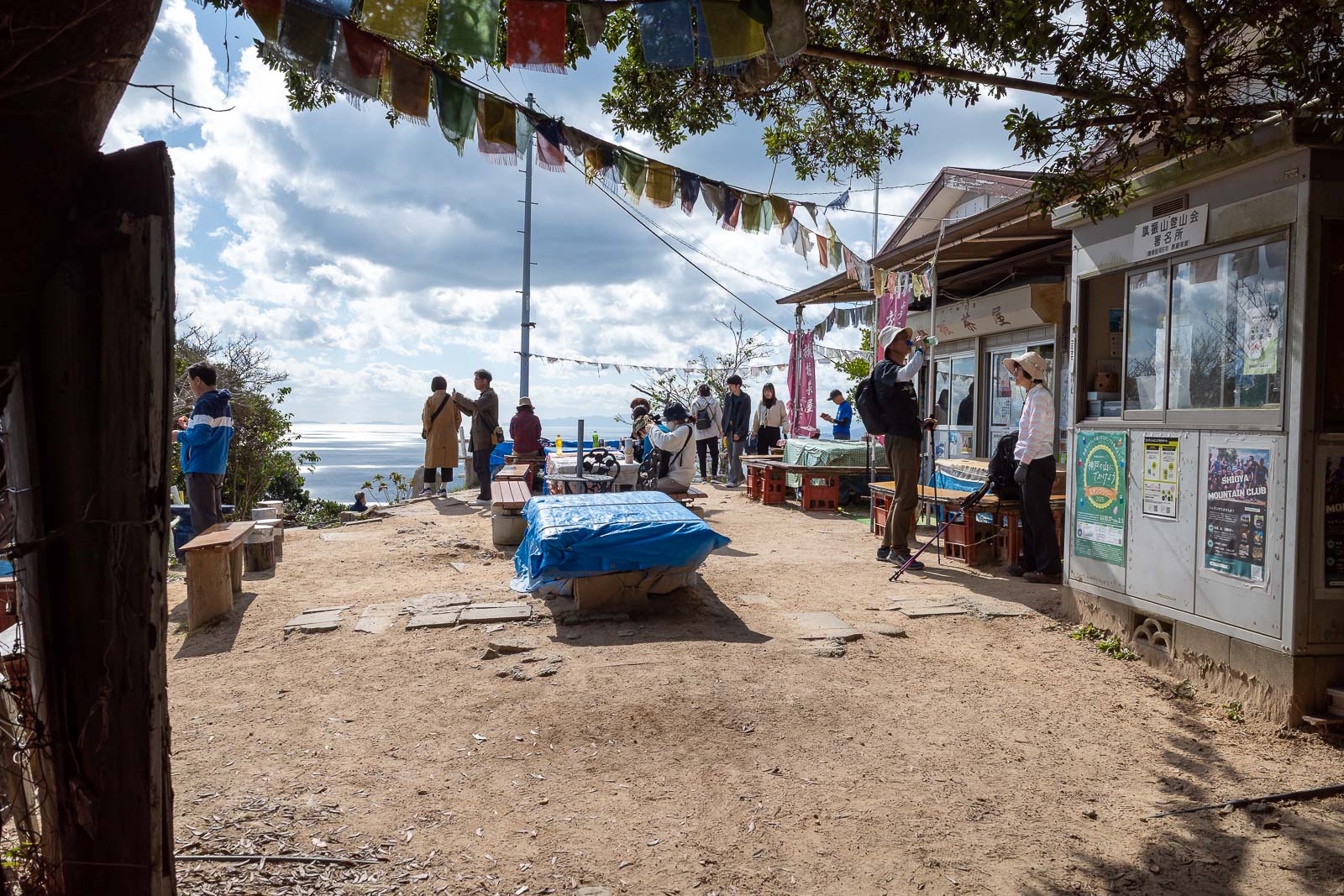
Eventually I got to the last peak, with a lot of other people.
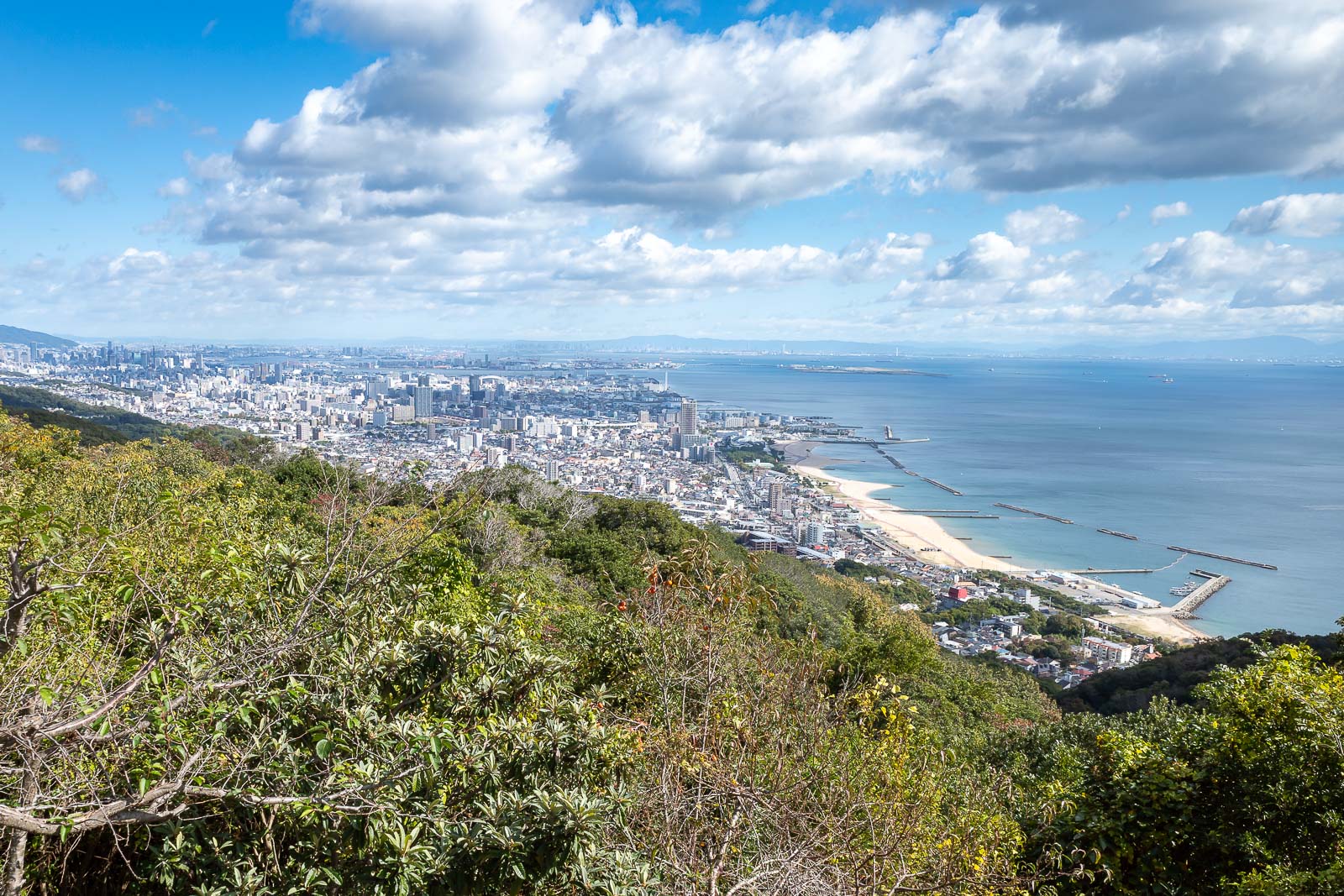
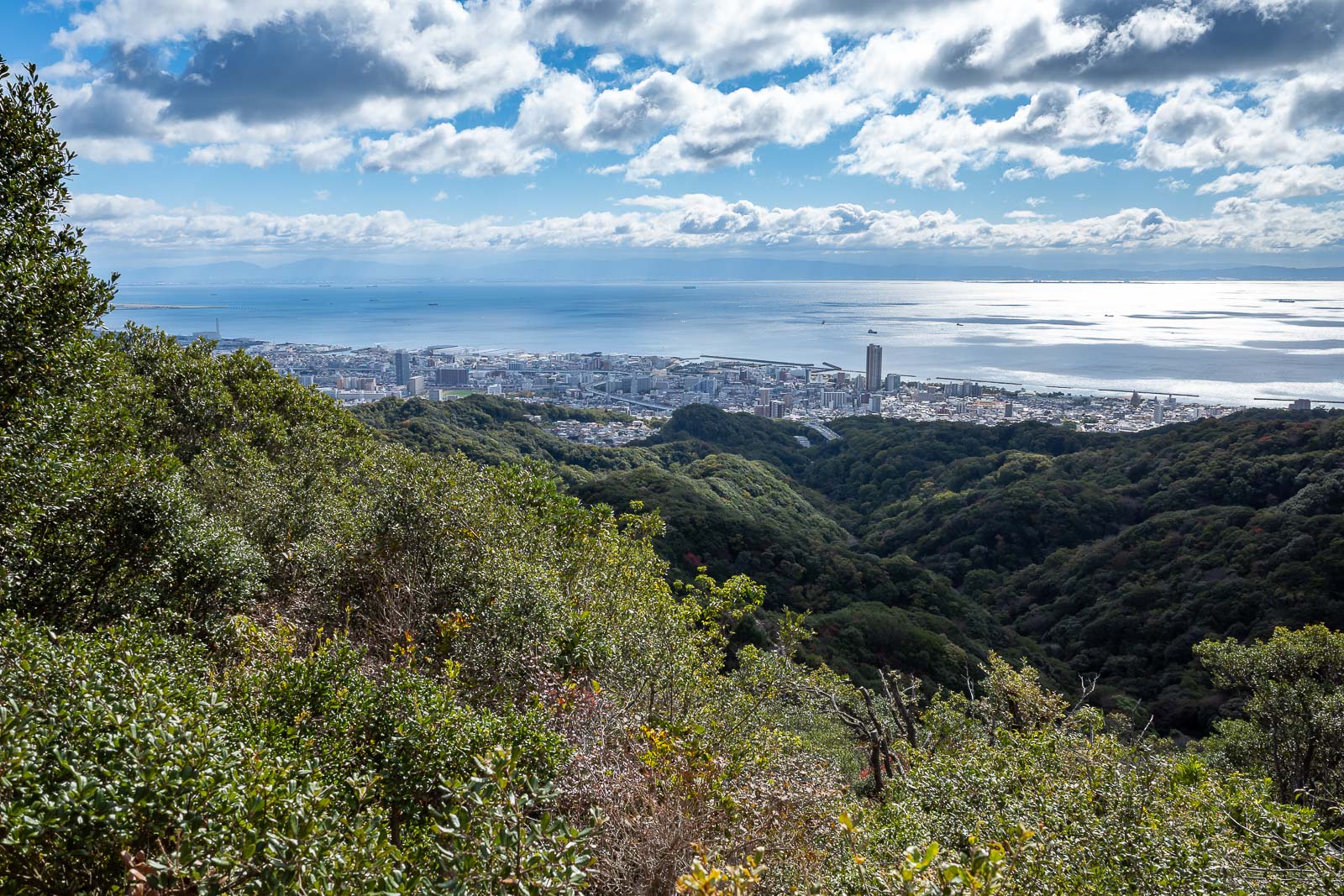
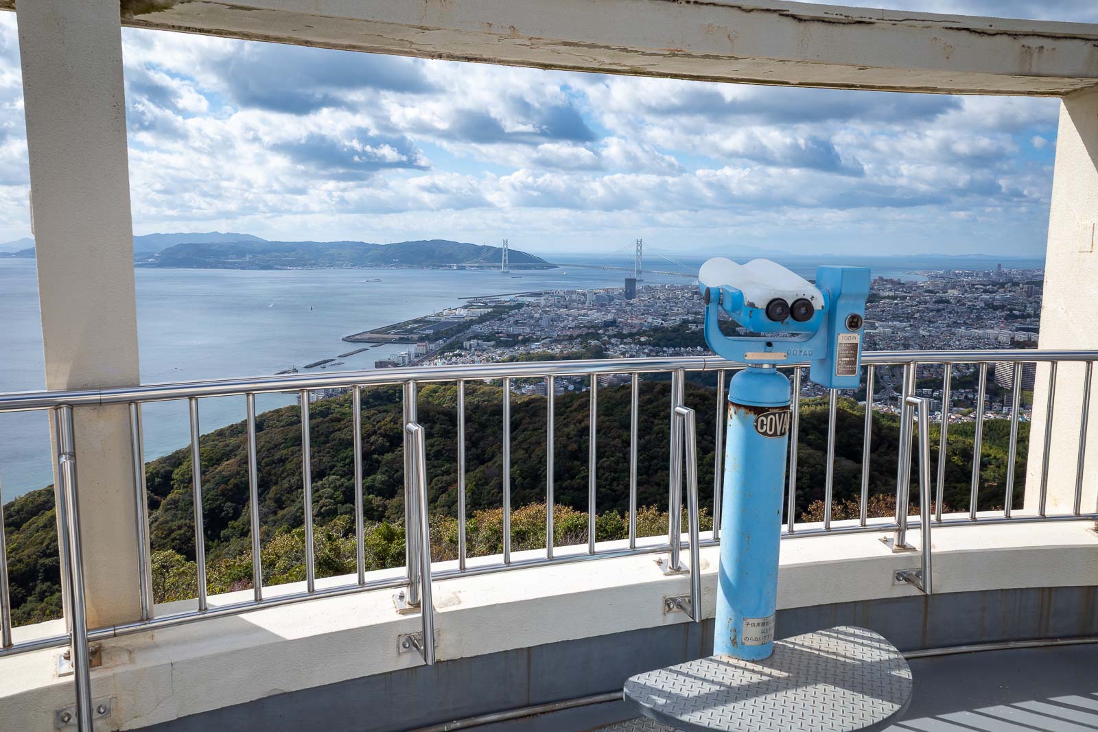
One last view of the coast back towards central Kobe.
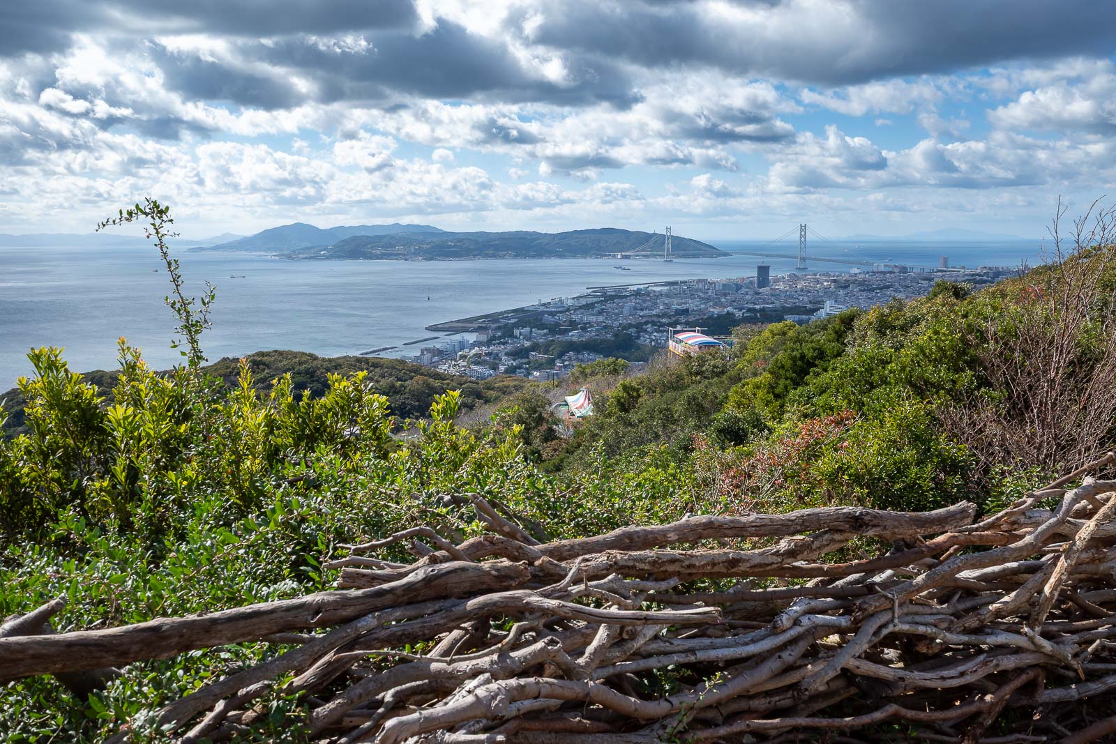
And another view of the bridge.
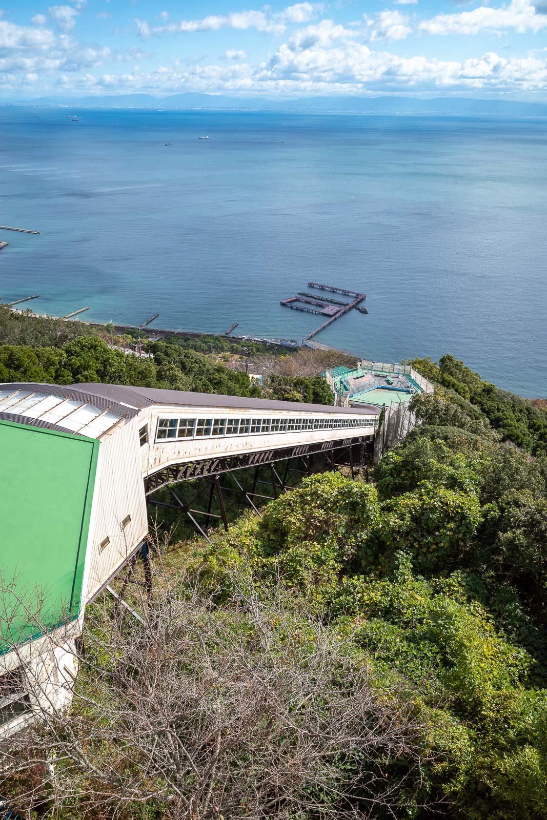
Here is one of the cable car options to go down, fully enclosed for some reason.
There was a games arcade and restaurant at the top of the last peak, and so I took a photo of people getting conjunctivitis. Really, don't put your eye on that.
Too many photos today.
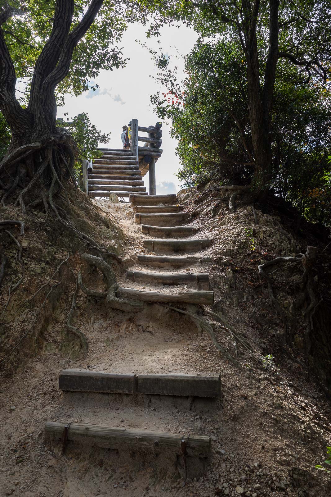
The path down if you avoid all the cable cars, is a staircase.
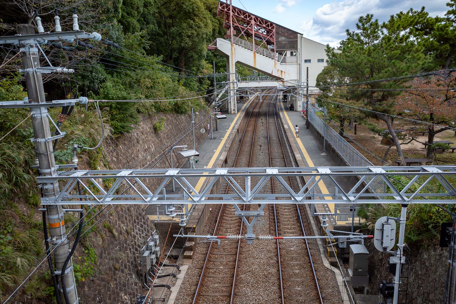
And then after not too long at all, I was back at Sumaurakoen station, which is both a train and a cable car station.
Since I was back early enough, I then went and did my washing (laundry) at a coin laundry. I hate the free hotel dryers, the huge ones at the coin laundry are awesome. Usually I take a photo of the dryer, but I took too many photos today already.