12 April 2025
Unbelievably smoky
Eboshidake from Hirakawa station
It is not raining yet, but it is ridiculously smoky. I want to shoot every Japanese farmer (and I do not mean with my camera). On the way to my hike all I could see was farmers burning piles of plastic. As a result, you cannot currently even see the giant Sakurajima volcano from Kagoshima. You can see a tiny bit of it, above the smoke layer from somewhere half way up Eboshidake.
Because of the forecast rain, I deliberately picked a shorter hike, this was probably wise, as once on the train today I learnt that for my longer more complex hike that I plan to do on Monday, that the train situation is complex. There is no IC card reader, and no paper ticket at the station, it is the dreaded board the train and take a number and pay when getting off system... which requires a stupid amount of change. Figure it out Japan! I will continue that rant below.
Anyway, now for the stats, they are not impressive in any way -
9.44km - same way up and down
3 hours 25 minutes
551m total ascent - parts are steep
964 total calories burned
Not many photos because of the smoke.
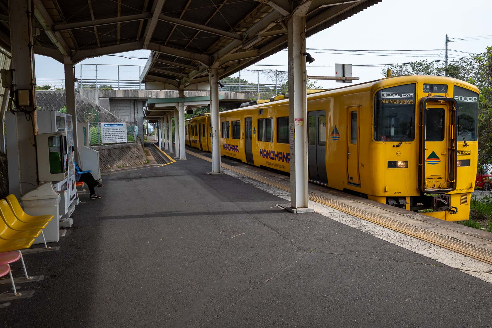
Here is the station at Hirakawa. This station does take IC card, as do a few more beyond, but beyond that you need a paper ticket if you get on at a station that issues them, or pay on board if you do not. It is up to you to know if you should have used an IC card to get on, because if you tap on and then get off beyond the IC card zone, you're in trouble... Generally this involves paying and then having to go to the office back at a major station and explaining what you did wrong so they can 'fix' your card.
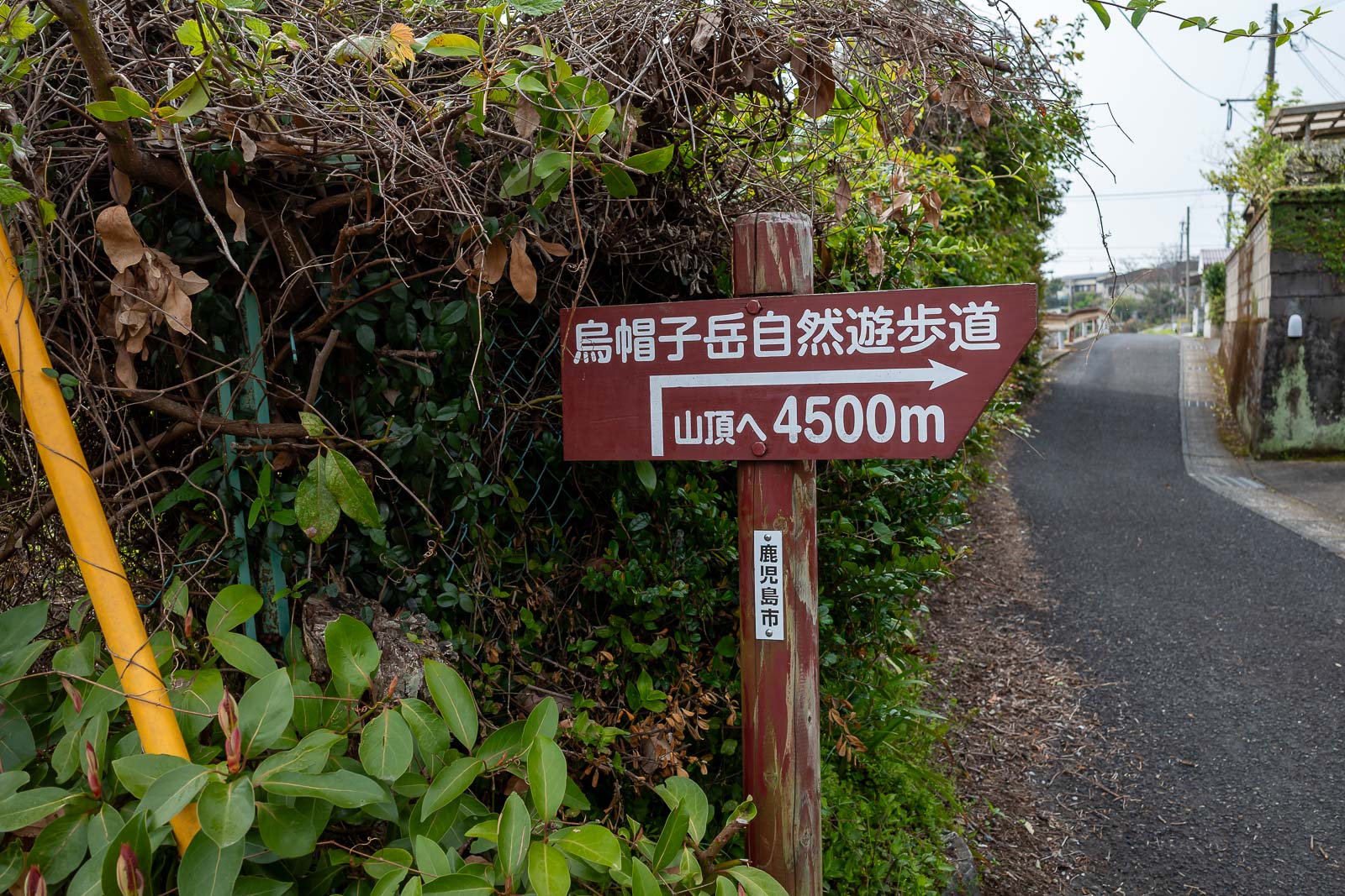
This is not a popular hike at all, it was a Saturday, and I saw ZERO other people up and down. It is not on alltrails, it is on yamap. However there is good signage right from the station, probably because there is nothing else in Hirakawa at all, no shop, and not even a toilet on the train platform.
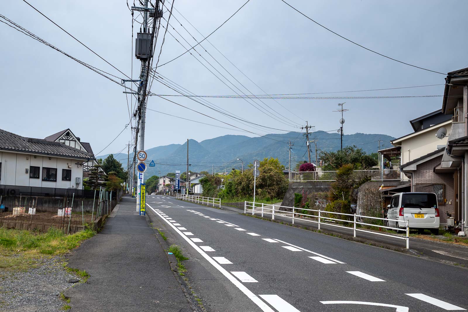
There is my 'mountain', it is not very high, but I am starting from sea level.
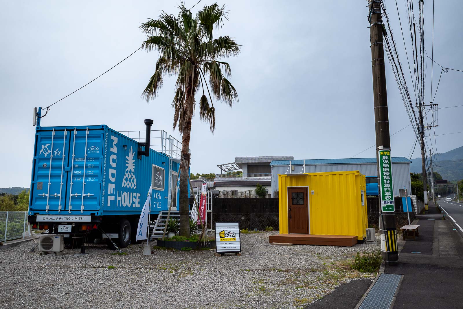
I passed a tiny home on the back of a truck showroom. I have seen a couple of places in Japan with a heap of these setup like a hotel, just like a mining camp in Australia.
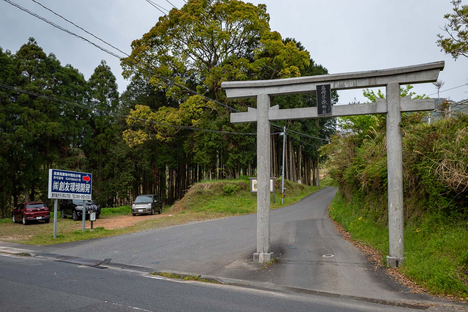
Here is the trailhead. I do not know where those people who parked here are, as I did not see them on the trail.
The path was a road of sorts at first.
I will go up there. It was getting cloudier, but understanding what was cloud and what was smoke was hard to understand. I like to understand what to understand.
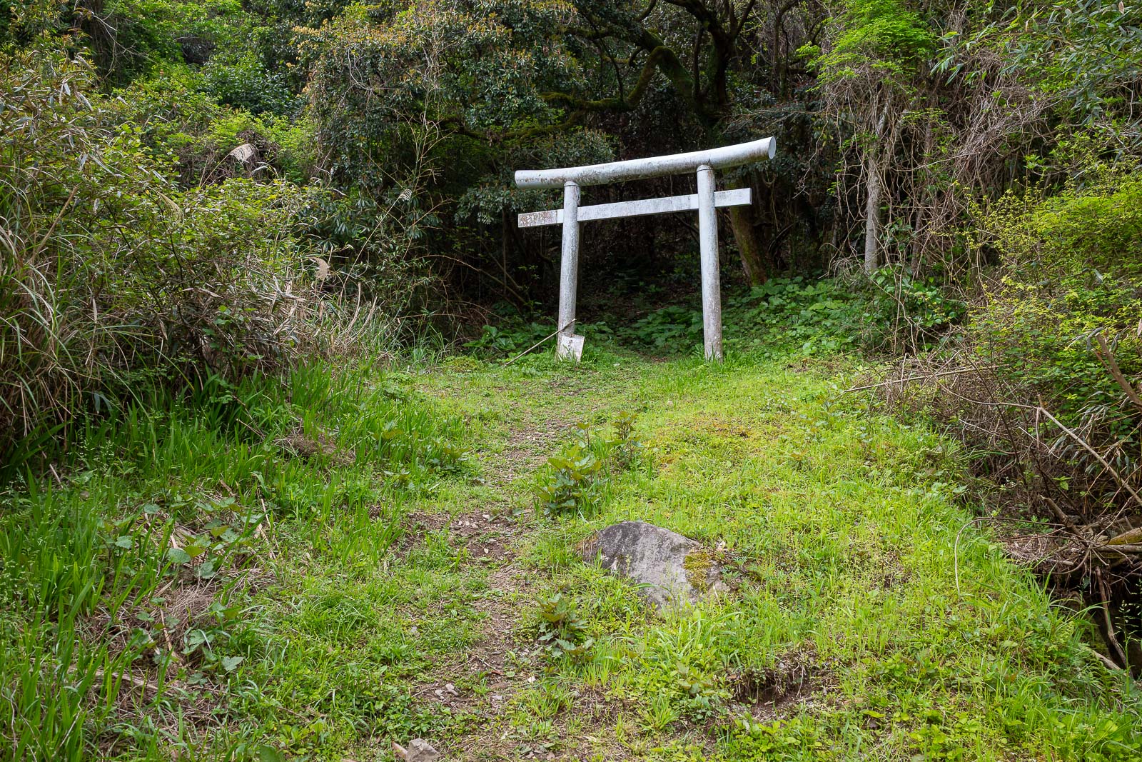
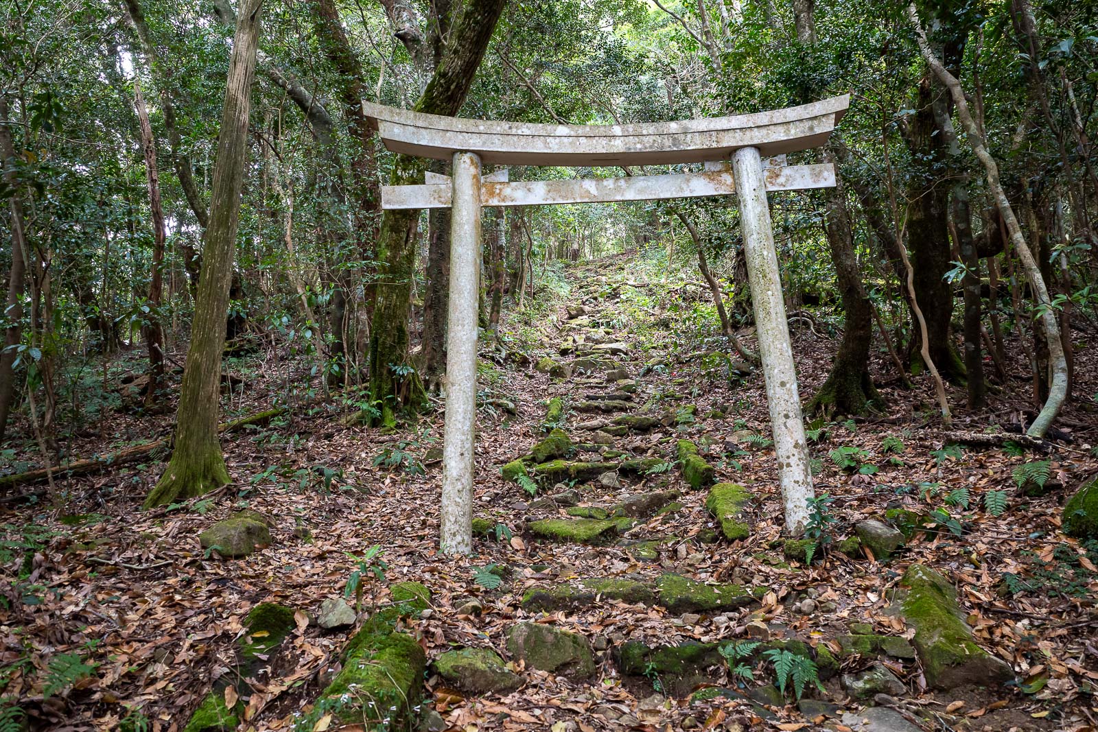
There were a series of Torii gates along the trail, as you shall see.
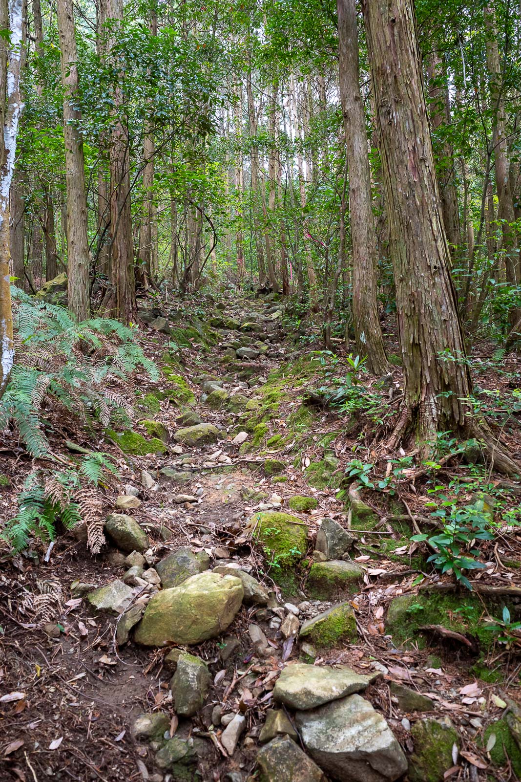
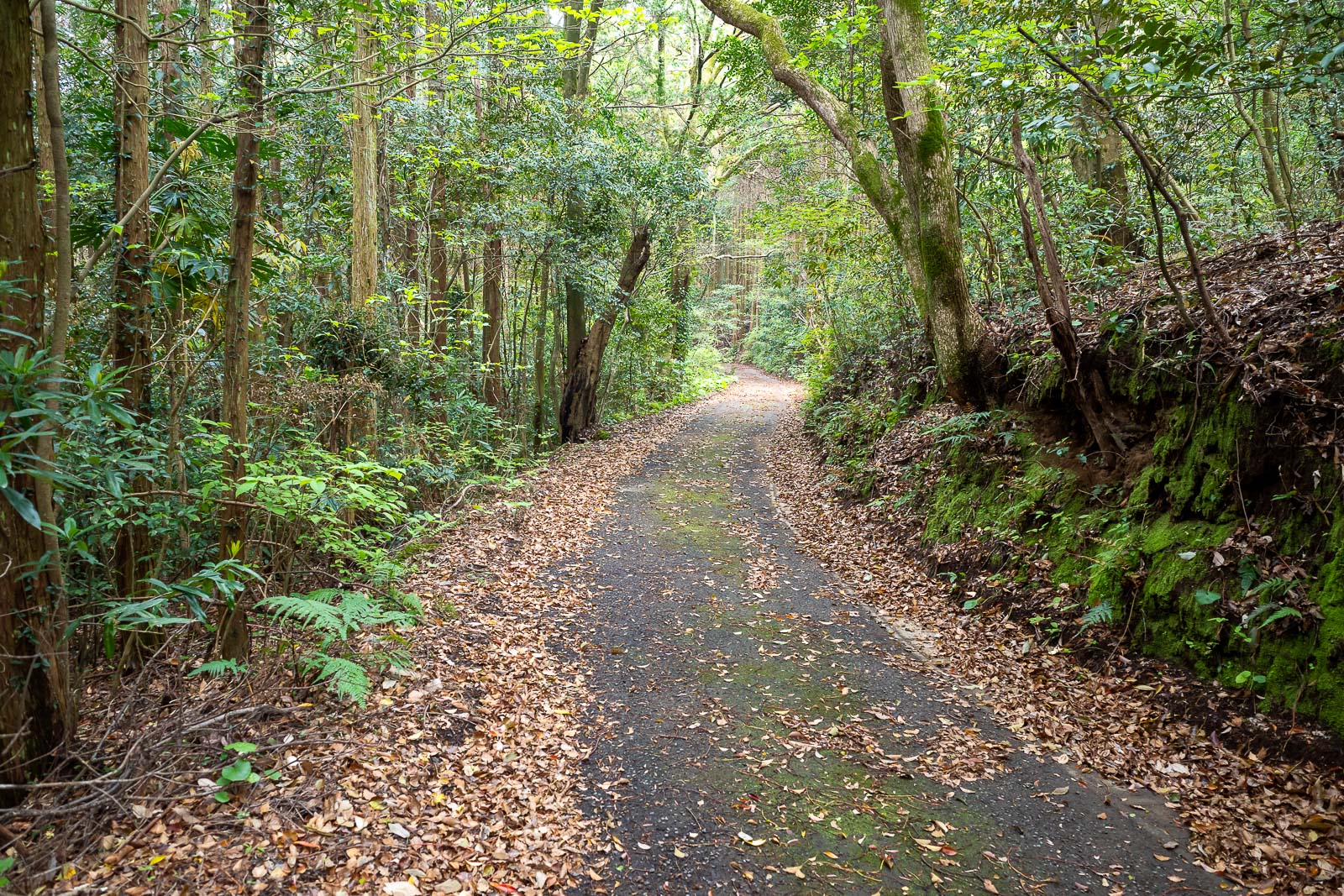
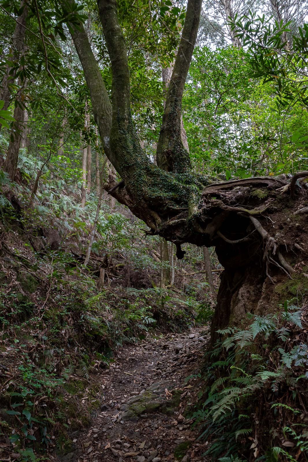
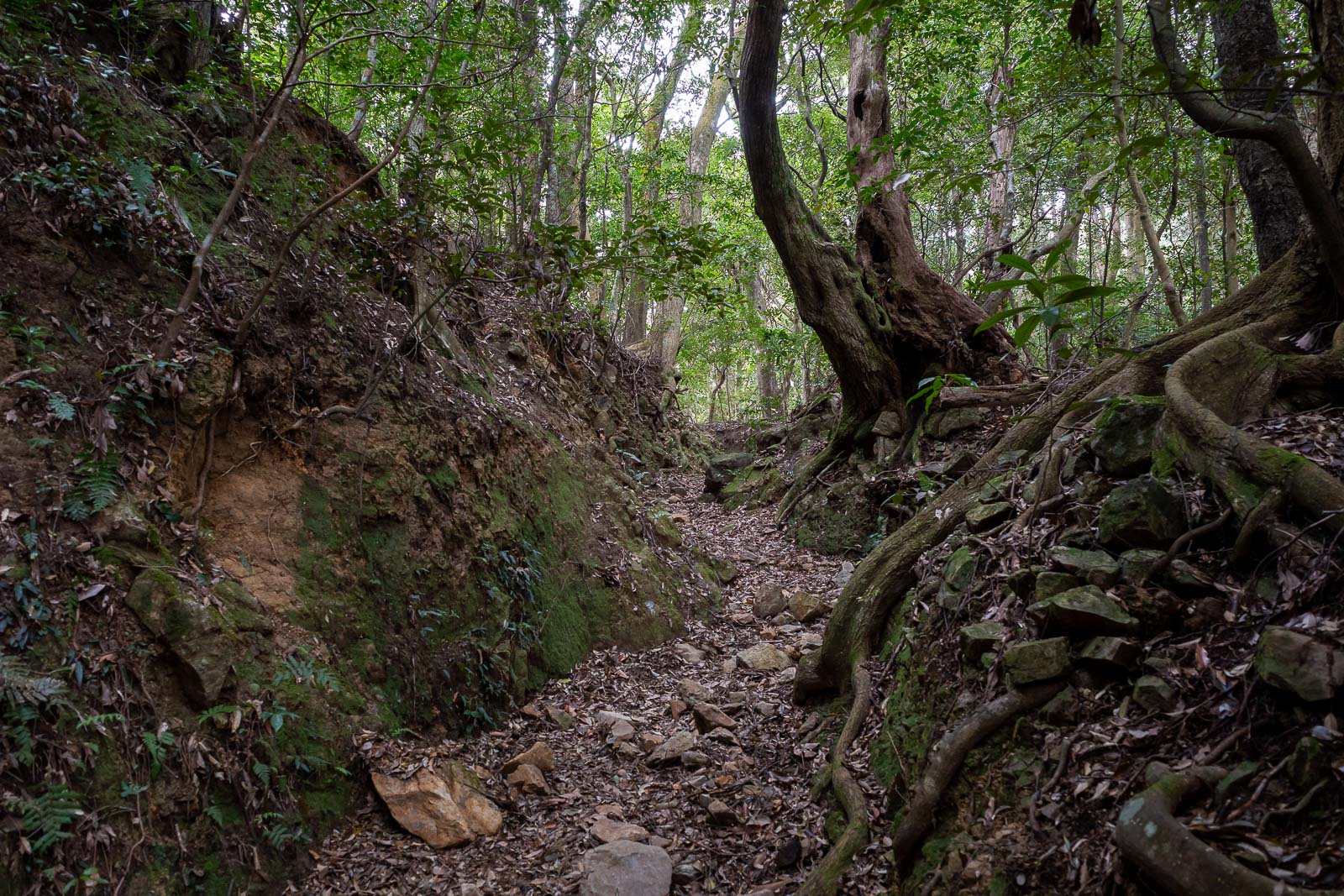
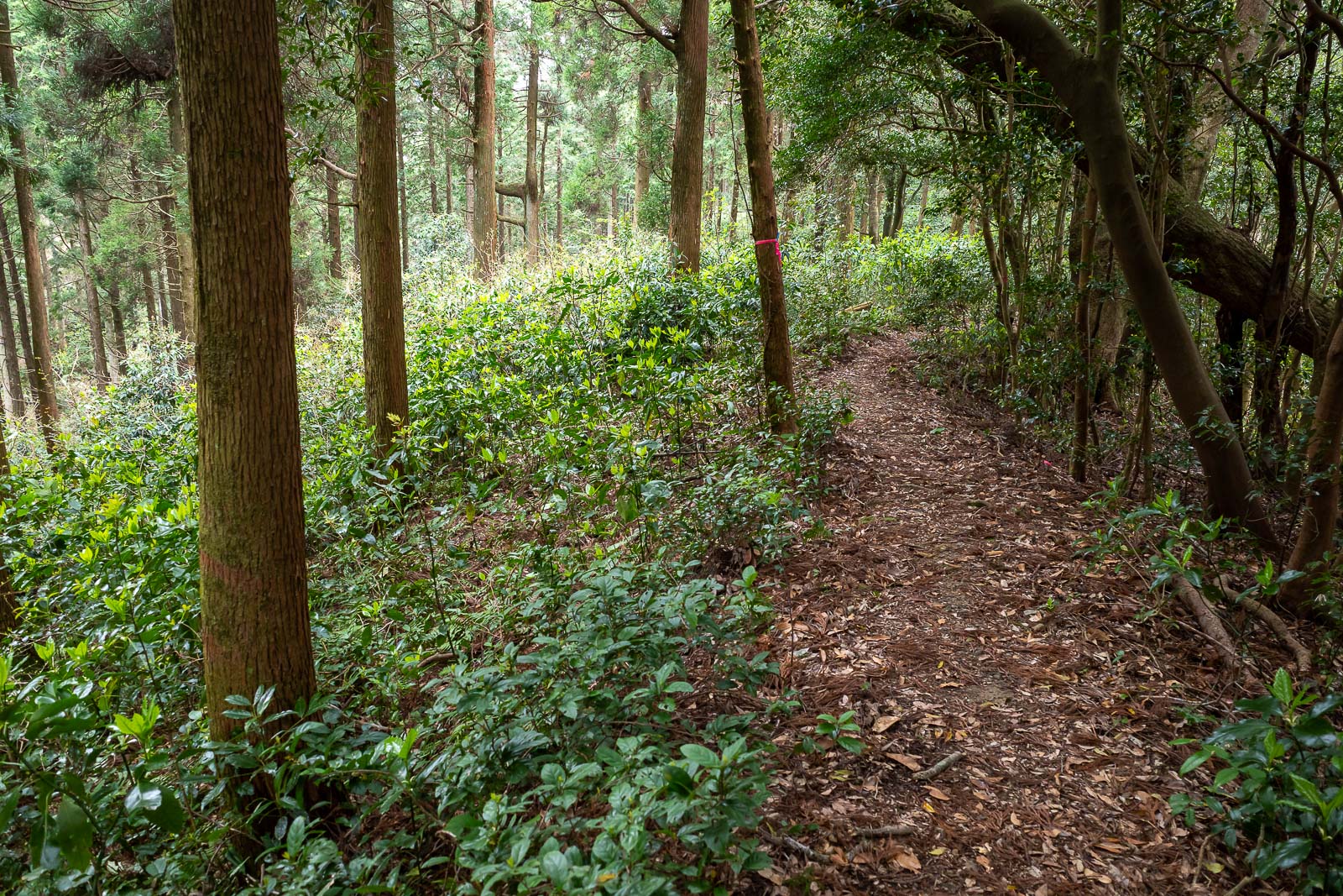
Soon it became a steep rocky trail, just as I like.
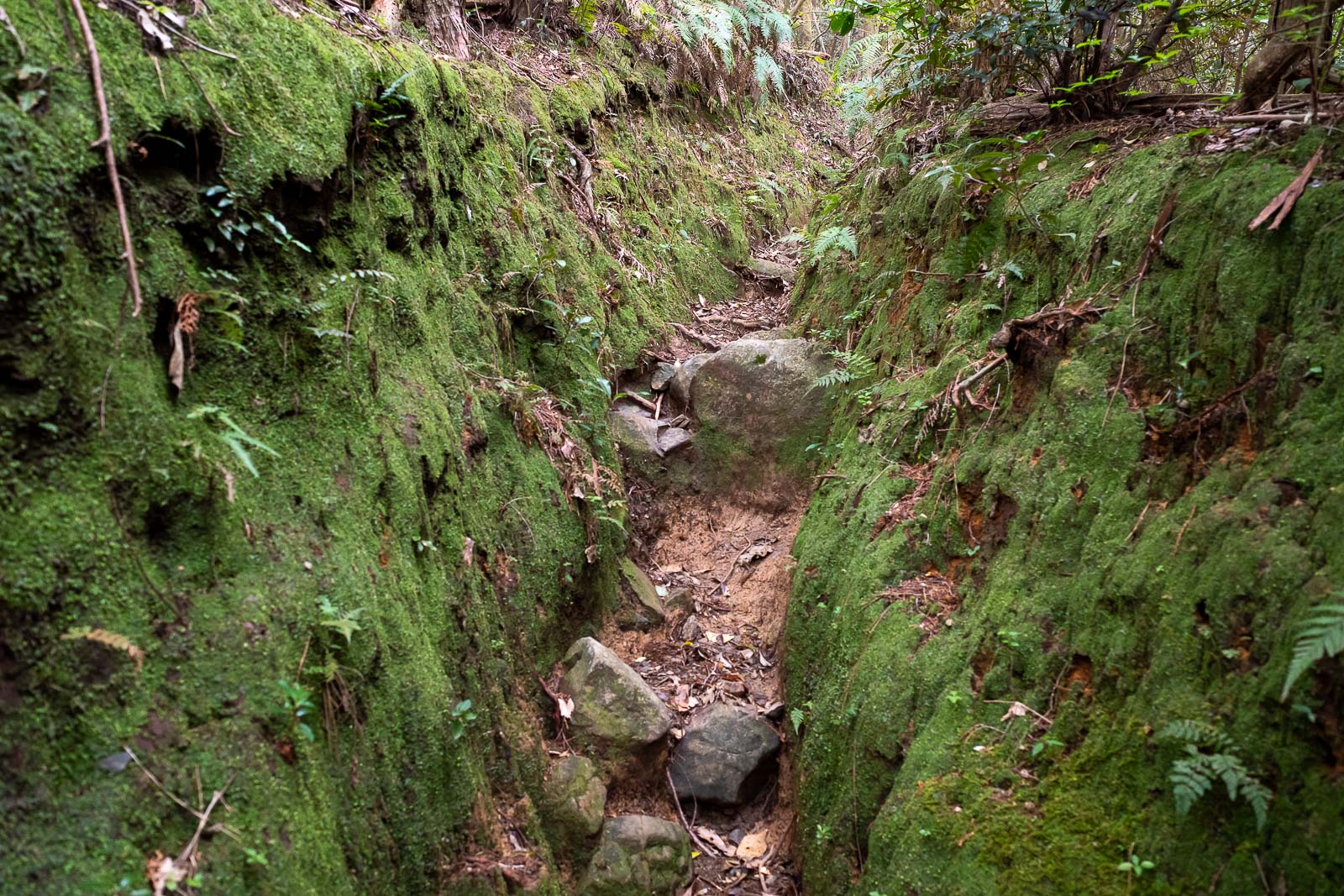
Parts of it were mossy and ravine like.
Possible spots for a tree to fall on my head.
I saw a tiny snake near here, brown with blue rings, probably poisonous, but probably too small to bite me, I decided to move away rather than mess about trying to take a photo of it and getting bitten on the nose.
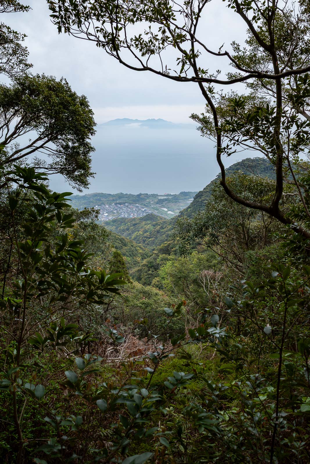
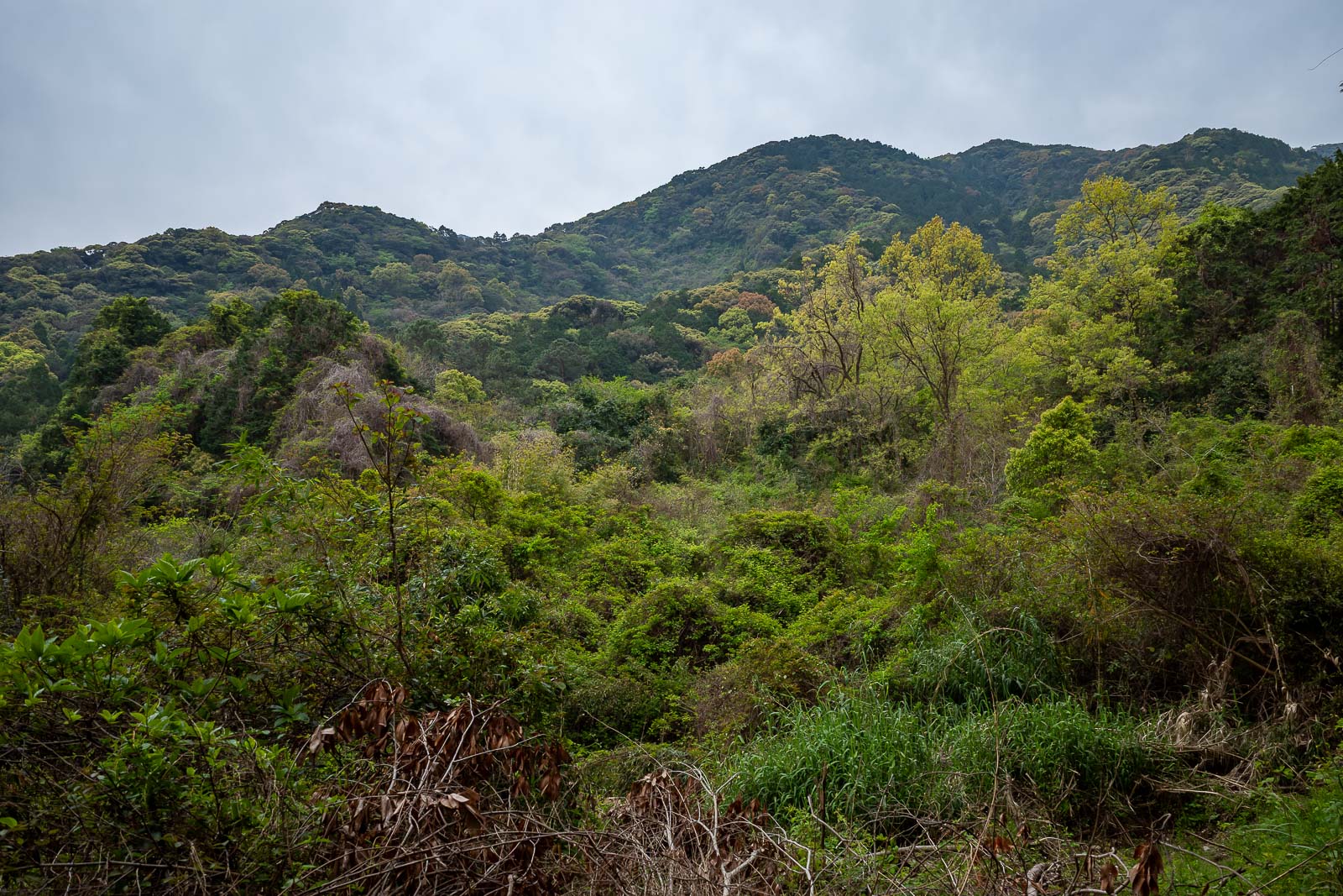
That is actually the only view from this hike, which should be of the Ocean and the volcano. You can see a bit of volcano sticking up, but you can see no ocean, just a smoke layer. At the end of my hike it was worse, I could not see any volcano at all from the coast.
Almost at the top.
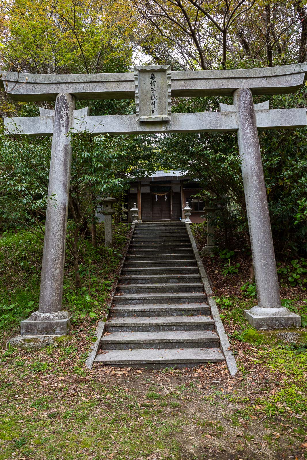
The top has a shrine that seems to get used some of the time. There is actually a road that connects to the back of it, which kind of ruins the magic of a shrine appearing in the middle of nowhere.
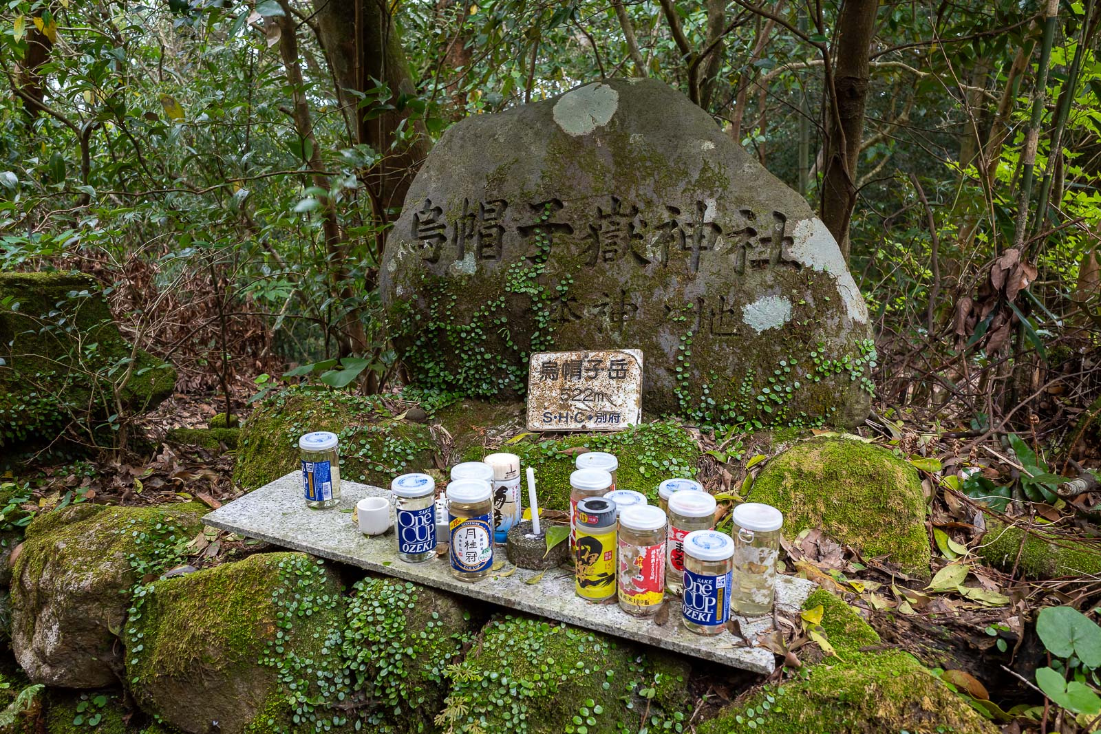
Here is the summit marker at the shrine, covered in jars, yes jars, of strong alcohol.
On the way down I noticed a field of azaleas or camellias, I am never sure which. No red flowers yet.
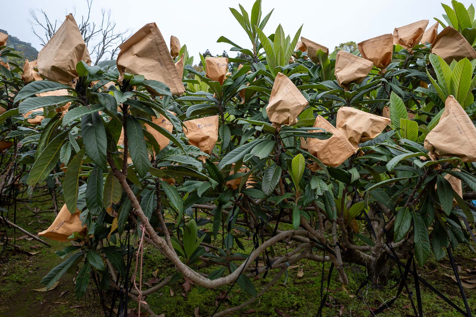
And then I exited where I started, into a farm of sorts, where the yuzu are covered in brown paper bags.
Today the short trail was great, but the view was almost non existent, and when it did exist, it was obscured by outdated farming practices. I will send a fax to the relevant authority registering my concern.