
Yangpyeong over Yongmunsan to the temple for the 3rd time
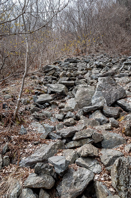
This was my third time doing this hike. Last time it was really hard, I got very wet, and had fog all day. Today there was no rain and it was really not as hard as I expected, despite all the rocks. If you like rocks, today is the day.
Getting to Yangpyeong takes about 90 minutes, getting back from 2 stations past Yangpyeong (Yongmun station) took well over 2 hours. At every station the train seemed to stop and let a KTX (bullet train) go past.
Anyway, lots of pics, so I better get to the stats -
18.25km
31,000 steps
2,259 calories burned
1,605m vertical ascent
7 hours and 14 minutes - faster than last time.
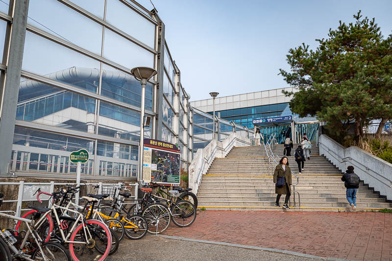
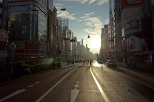
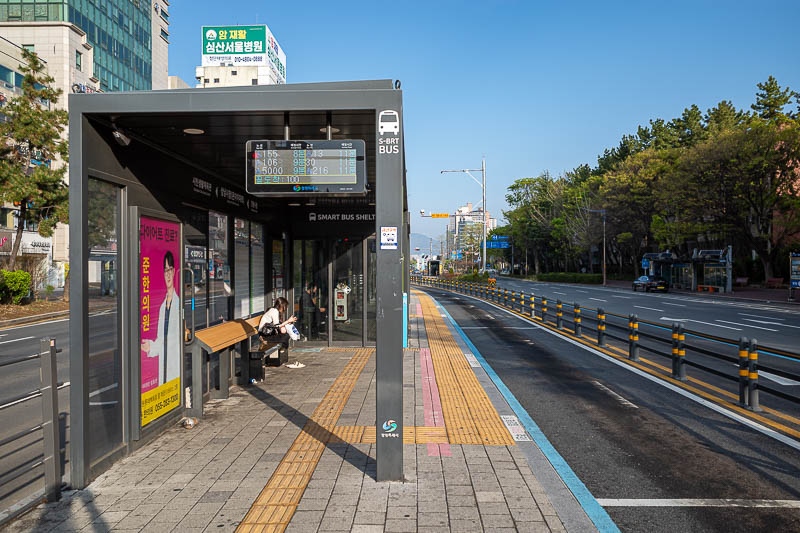
Yangpyeong station. It is also a KTX (bullet train) station, I probably should have got a bullet train here. There are numerous convenience stores between the station and the start of the hiking trail.
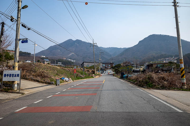
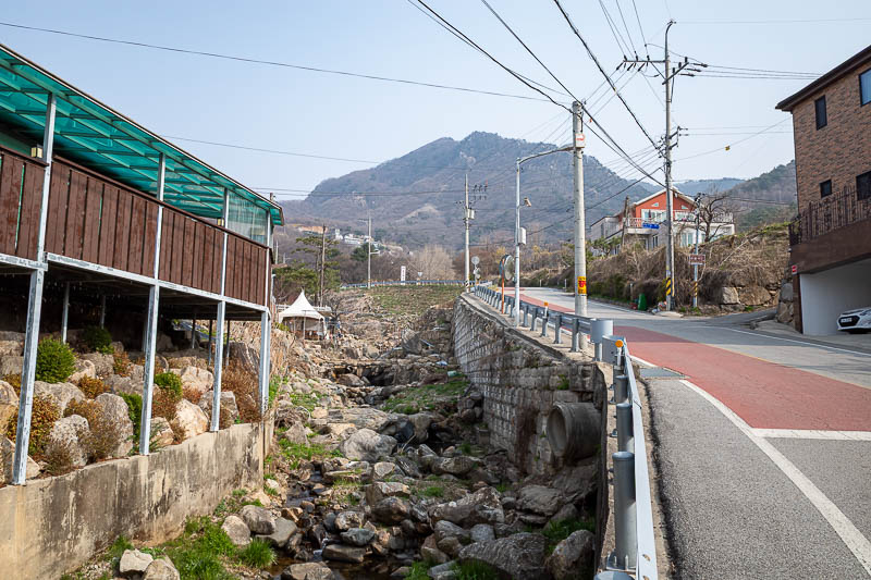
It is about 3km from the station to the trail. Last time I went a different way and got lost as part of a park had been demolished to make a highway. This time I just followed a road.
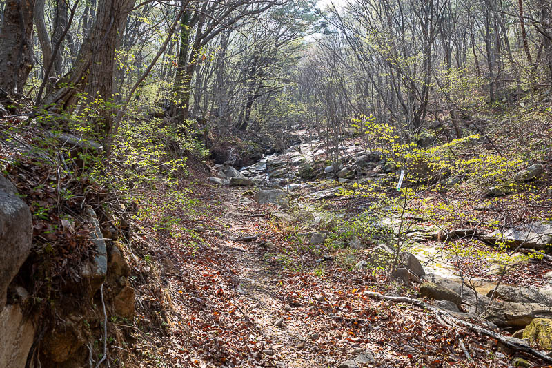
There are already lots of rocks and I haven't even left the town yet.
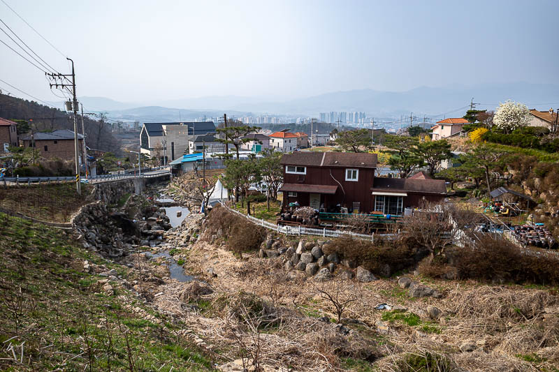
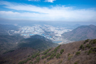
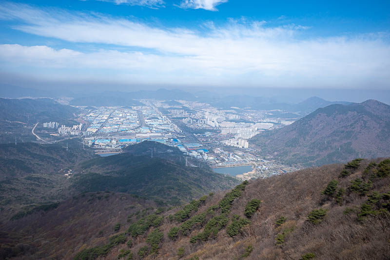
Looking back through the pollution at Yangpyeong. There are quite a few large new apartment buildings in the small city, more than last time.
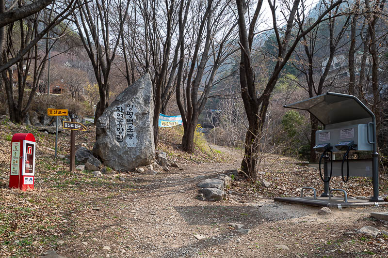
Time to hit the trail. I used the blowers to give my hair a quick zsoosh before I left. I am not sure how to spell zsoosh.
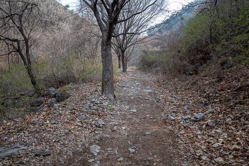
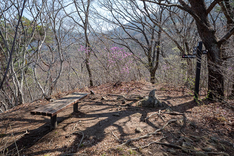
The trail starts with hessian rugs. But the hessian is now very worn. I recall on a previous visit it was brand new. It is easier to walk on when it is worn.
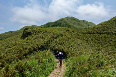
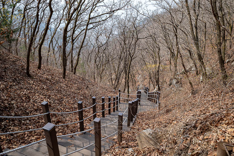
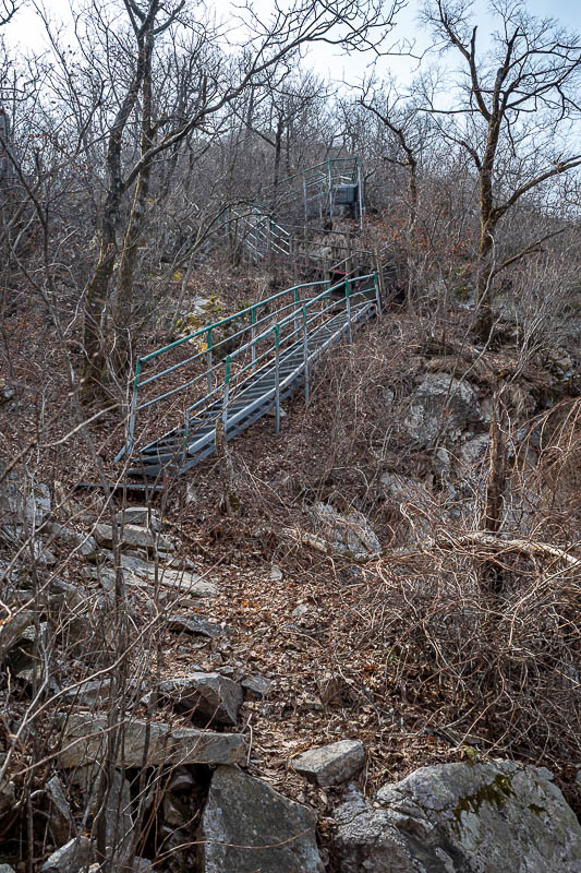
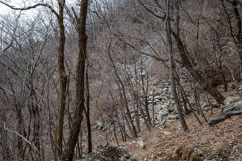
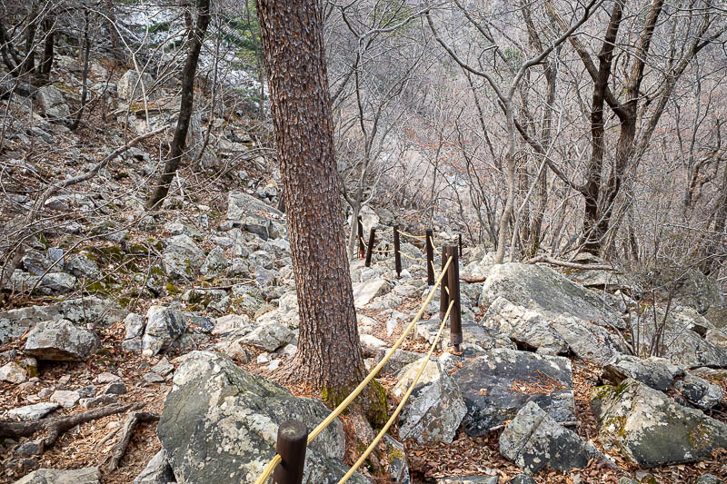
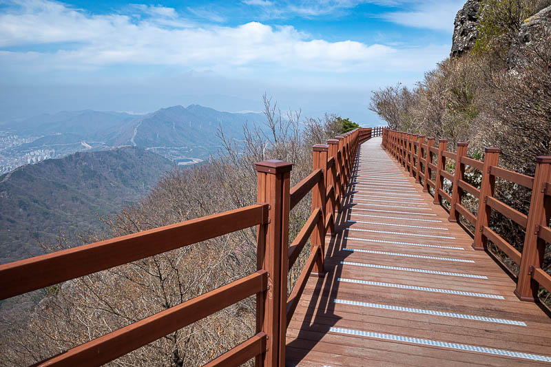
The lower bits have some steps and a lot of ropes. The middle bits have none. At the end, steps and ropes appear again. I guess that is because a lot of people start from either and end don't do the trail that joins the peaks, instead they turn around and go back from whence they came.
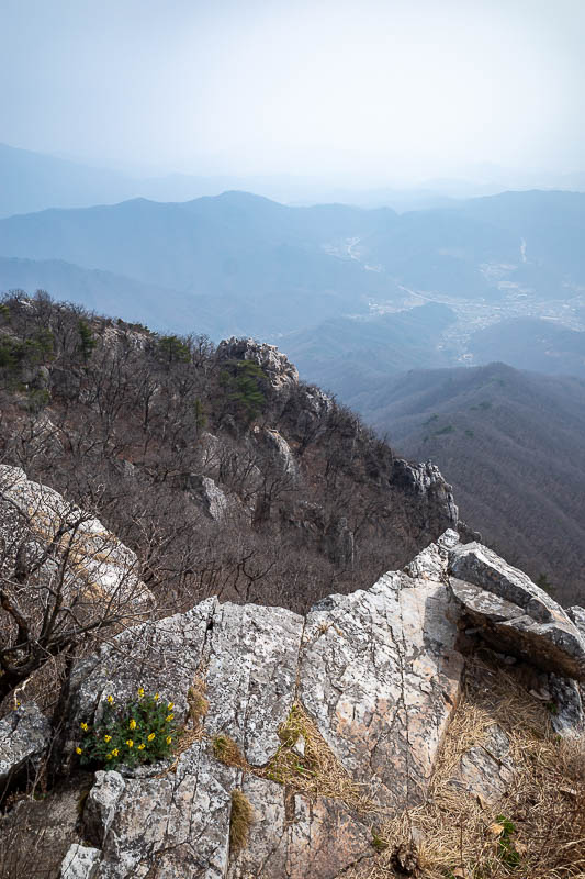
The rocks are starting. Despite the pollution it was often very bright today.
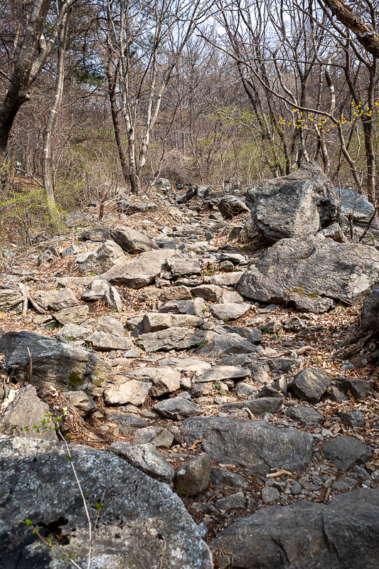
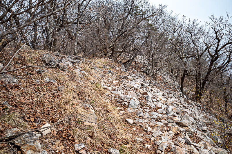
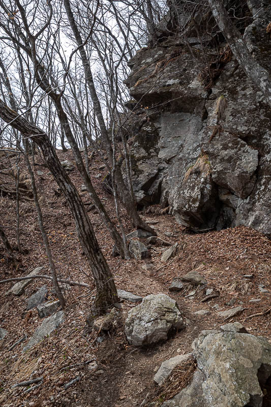
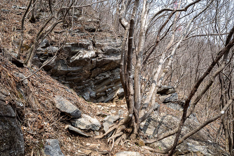
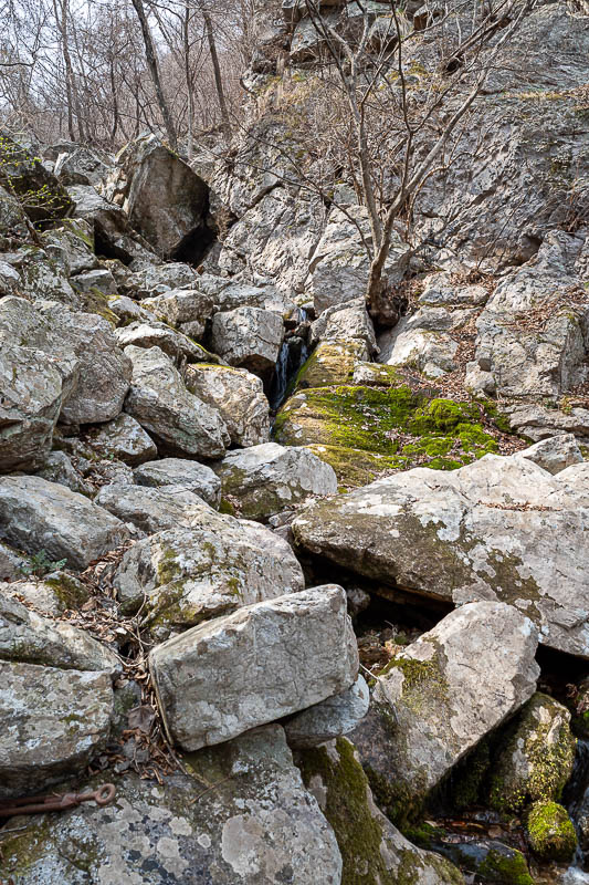
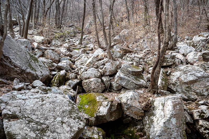
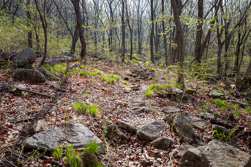
Rocks, all day.
Soon I will be above the stairs.
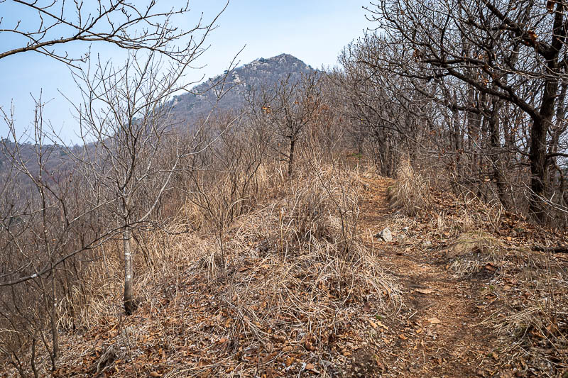
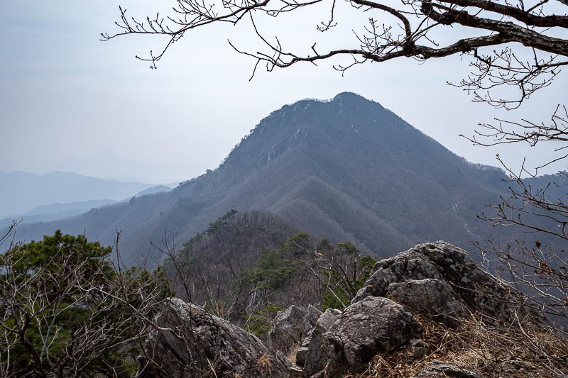
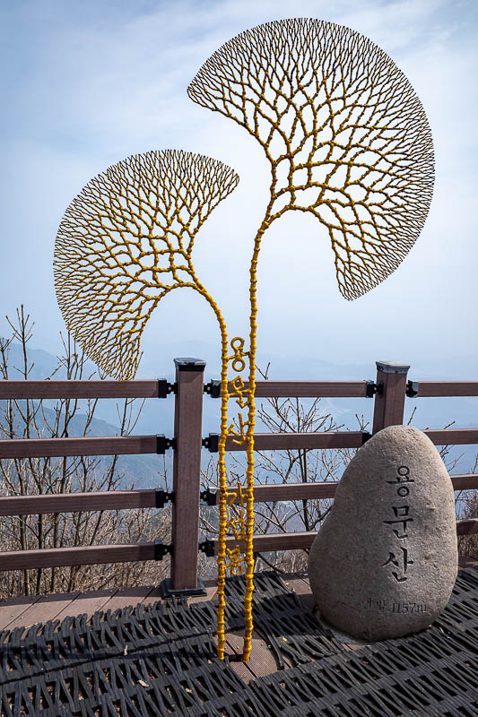
That will be the first main peak, Yongmunsan I think.
A rare smooth non rocky bit.
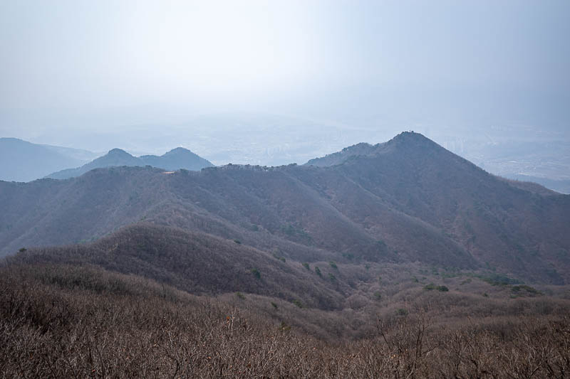
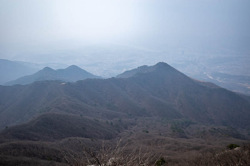
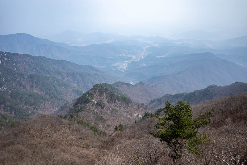
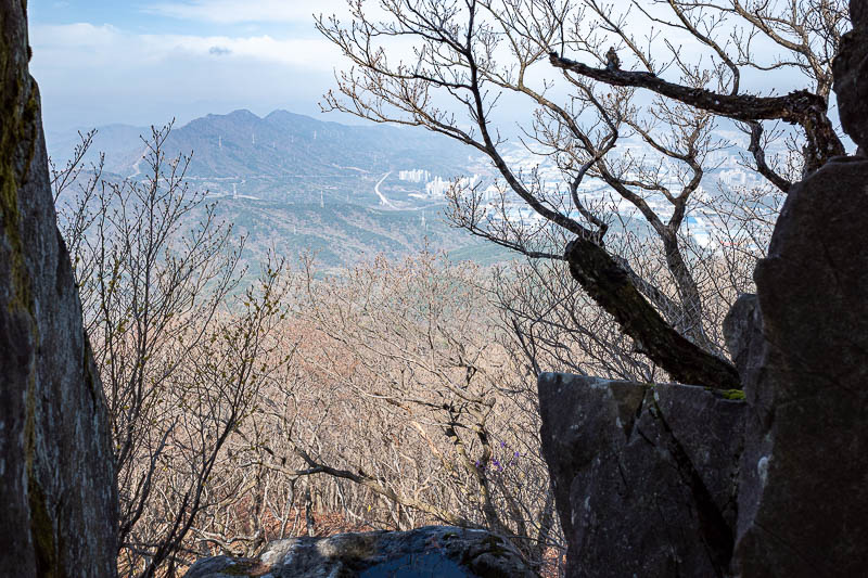
Lots and lots of pollution towards Yangpyeong.
I had already come over that smaller peak.
The first of 2 main summits. I had it to myself.
Getting further away from Yangpyeong. I hate typing Yangpyeong.
A different city down there. Not that you can see it.
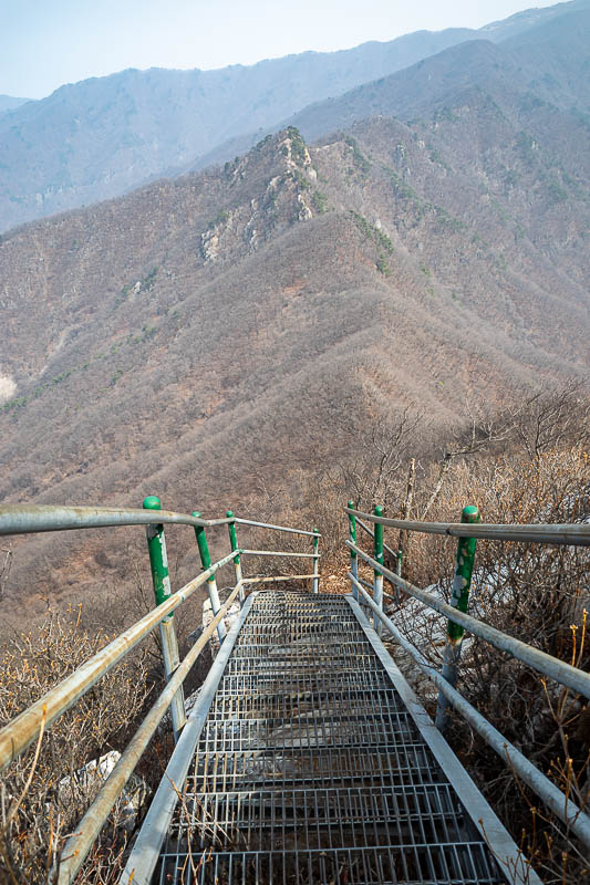
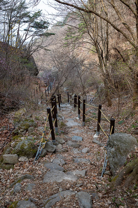
After the first main peak, the vertigo inducing grated stairs.
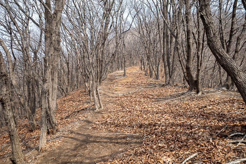
There will be no more stairs for a few hours. Just rocks.
I stopped here for some pocari sweat. My hiking / running pack is still going strong, for well over a decade now.
I had come down from that way.
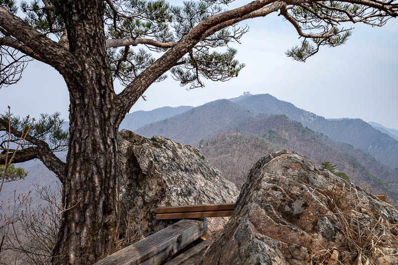
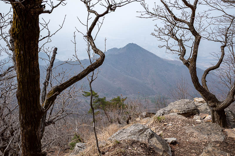
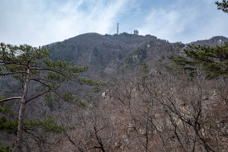
Next I will head over to that peak, which is actually higher. There is an army base structure on the top.
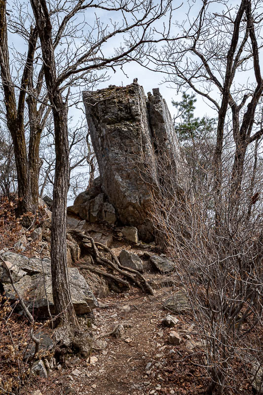
This pile of rubble used to be an ancient fortress, according to the map on my phone.
What a view! (not).
Not a fortress... just a natural rock flow.
It was around this point that last time it really started raining hard.
Last time there was dense fog through here.
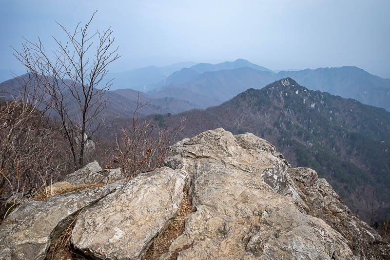
No fog today, just boulders.
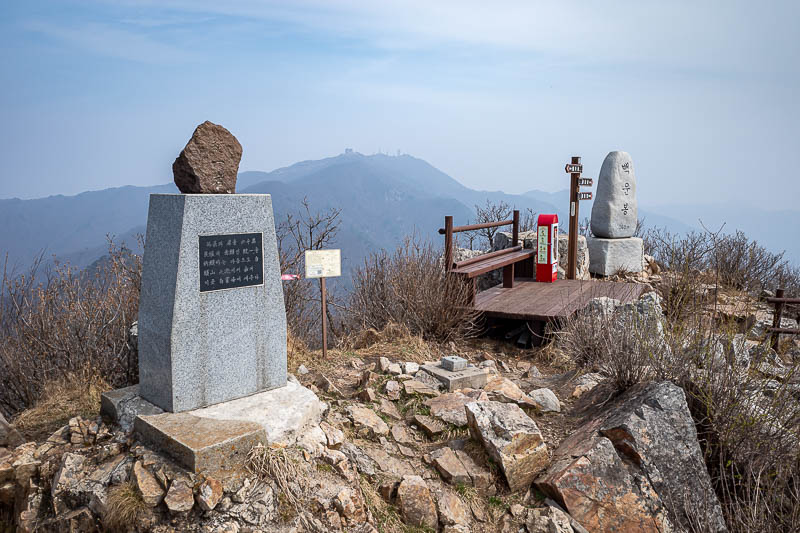
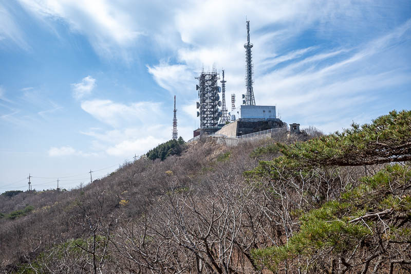
Second summit. You cannot get to the actual summit due to the army base.

Like so many summits with an army base, there is a secret road. That is a mountain rescue car. I saw about 4 groups of guys in rescue gear, some flying drones. I also saw the police helicopter hovering around. I do not know if they were looking for someone or doing a drill. I would have thought if they were really looking for someone they might have tried to ask me to keep an eye out.
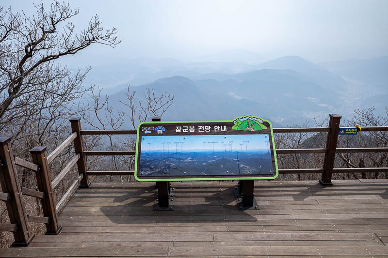
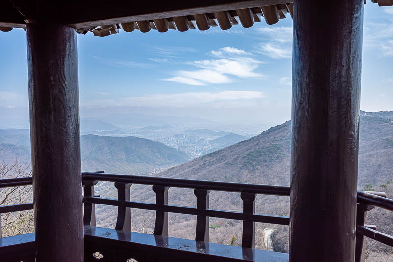
Summit view is not great. I think it cleared up right as I ended the hike, but that might just be because I was not looking so far into the distance once I was back at the bottom.
More view. With a rock.
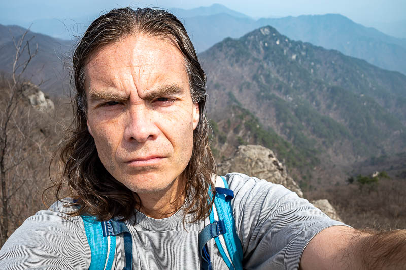
Lots of my big wrinkly head.
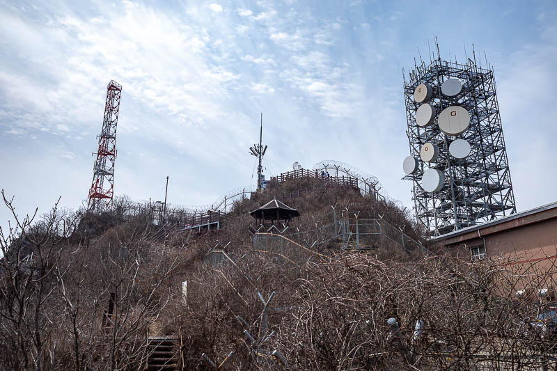
The summit is filled with infrastructure. The army base blew a bugle at 1pm, probably to tell everyone lunch was ready.
Time to head down.
It was slow going to get down from the summit to here.
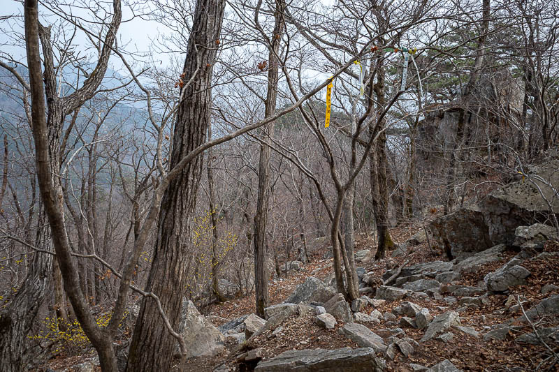
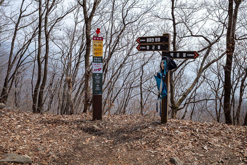
The path today was defined well enough that I did not need to follow the ribbons in the trees, but they were there anyway just in case.
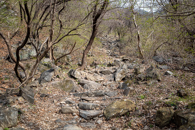
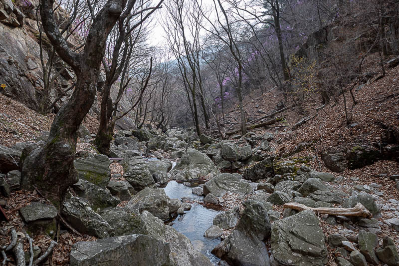
As you get further down the rocks get a lot bigger. There is not really a trail, just a rope to kind of follow.
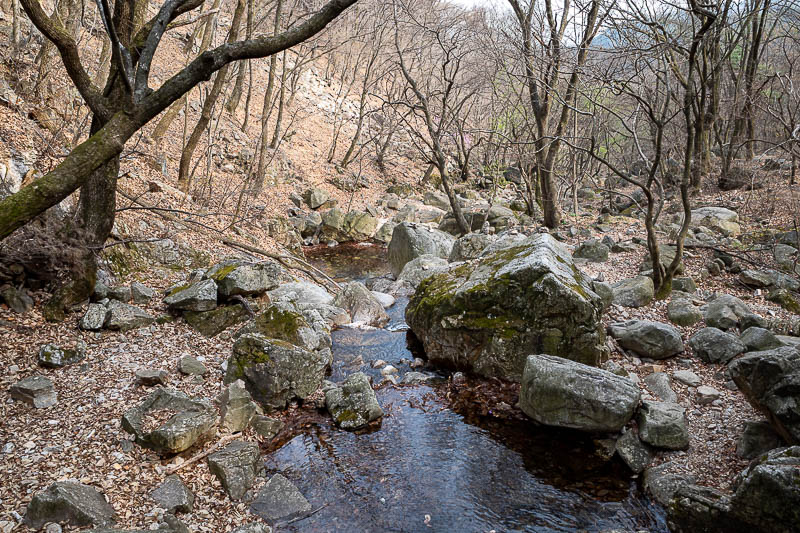
Big rocks, with moss, but never really slippery.
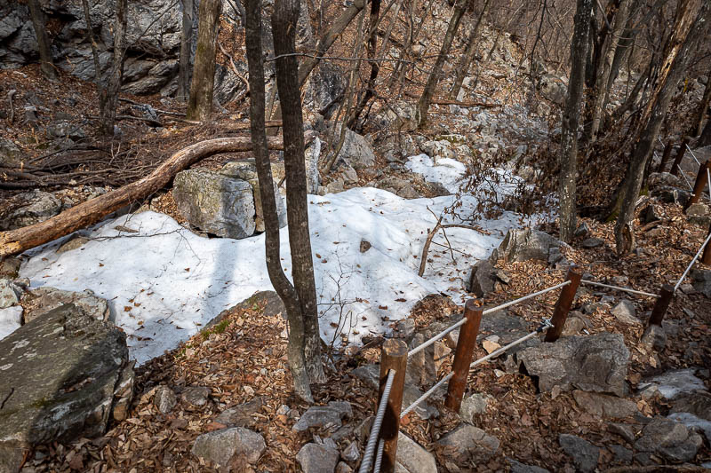
Surprise snow / ice. I was not expecting that.
I put my ski's on for a while, then wrote my name in the snow.
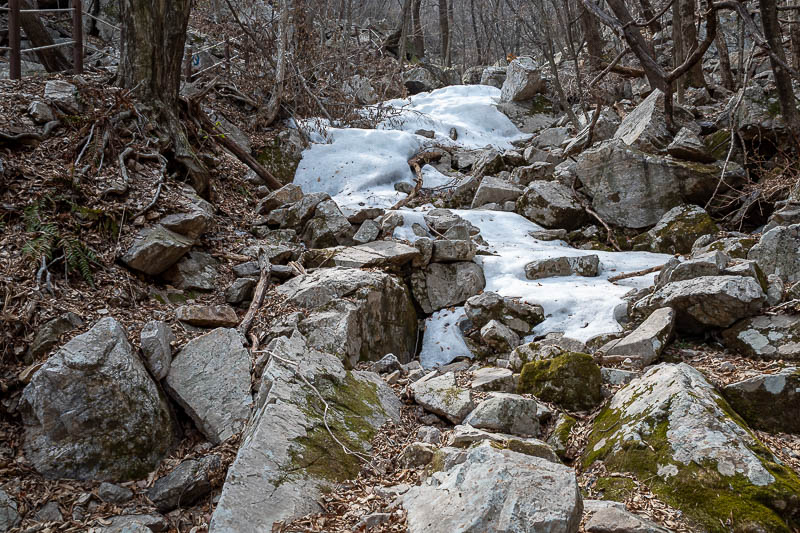
Still more rocks.
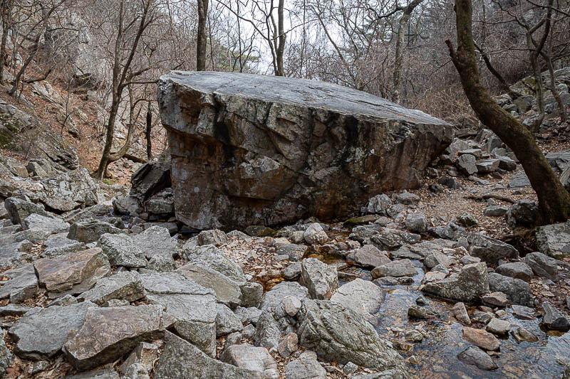
A giant rock! I know I am getting near the end as I remembered giant rock from last time.
I have seen enough rocks now.
But still more rocks.
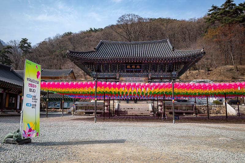
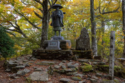
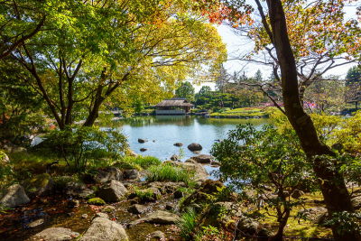
Finally I came out of the rocky valley and arrived at a temple. Very colourful, I have a feeling this is for the upcoming Buddha's birthday.
Time to leave the park and head to the bus.
It is a nice area, lots of gardens and tea houses.
The street through the 'town' is nice too. It even has a convenience store. A nice place to wait 20 minutes for the bus.
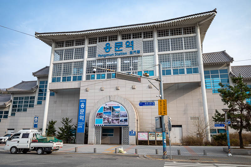
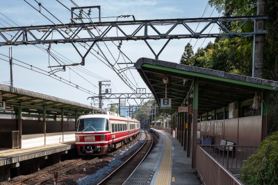
After a terrifying bus ride, I transferred to Yongmun station where I had to wait 20 minutes for the slowest train back to Seoul of all time.
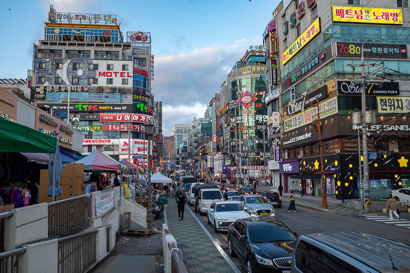
Pho in Myeongdong
Tomorrow I am going to Changwon in the very south of the country. I have not been there before. It occurred to me that my 35km train ride back to Seoul this afternoon took longer than it will take me to go all the way to the other end of the country on the bullet train. Fascinating.
Anyway, I was hungry after my hike, so all I did was a final lap of Myeongdong and decided pho would be very filling, so I had that. I thought at first I had chosen a cool hipster independent place run by a grumpy guy, but as it turns out there is an exact same franchised store right next to my hotel, with a different grumpy guy.
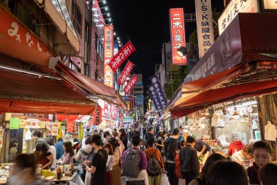
Not many pics, but there is neon.
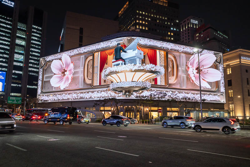
The Shinsegae store does not mess about with their giant faux 3d projection thing. It is bright enough to be a traffic hazard.
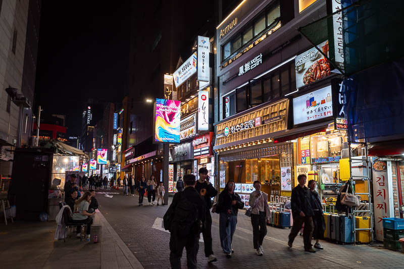
Time to re-enter Myeongdong, not too many people here.
More people, more neon.
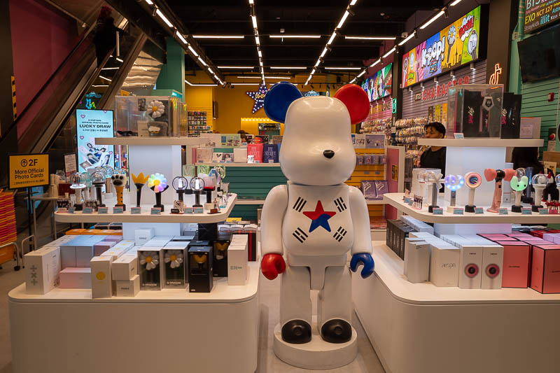
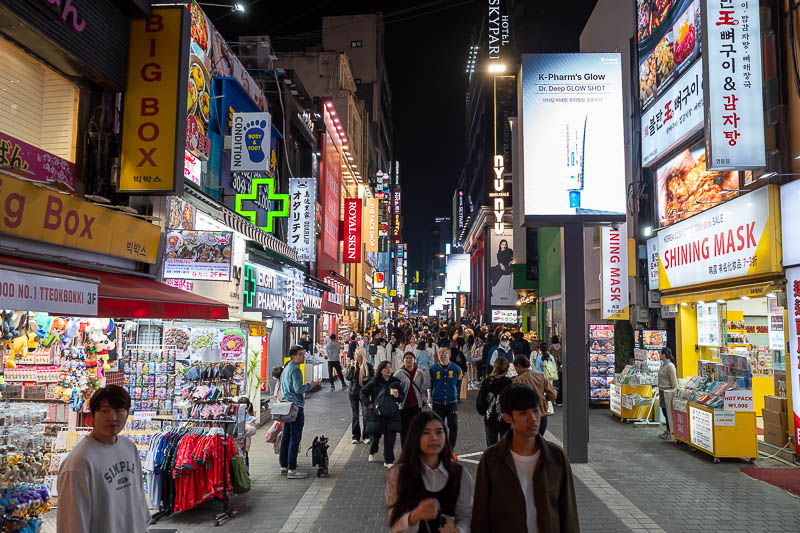
There are a lot of generic k-pop stores around these days.
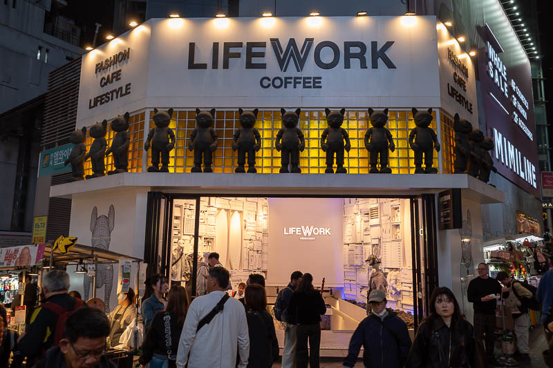
Fancy coffee shops are still popular. Most also sell clothes.
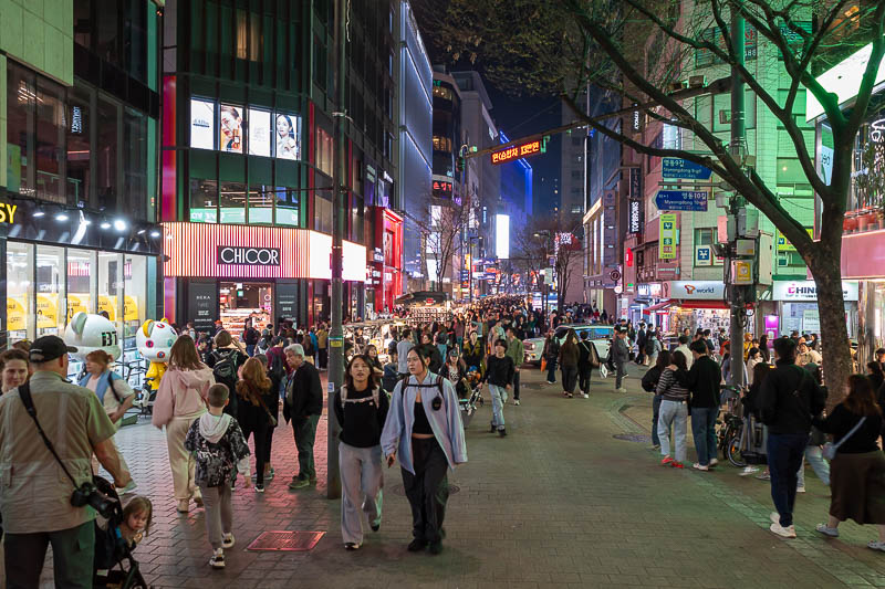
This is a bit hard to see, but there is a huge number of people down there. I turned down a side alley rather than battle the crowd.
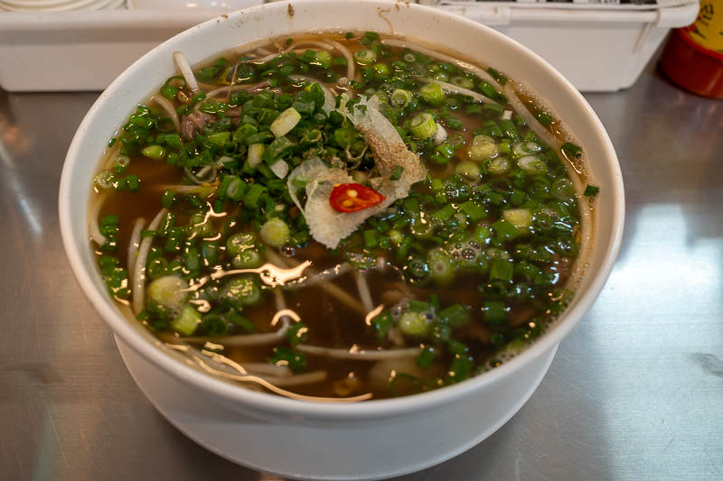
And then finally, my pho. It was decent too.
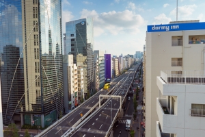
Seoul to Changwon on the bullet train
Now I am in Changwon. It takes about 2.5 hours from Seoul. The train was full at first but emptied out at about Daegu as I continued on into the scarier parts of the country to what appears to be the entirely brand new city of Changwon.
As is often the case, the bullet train (KTX) station is not actually in the city centre of Changwon, so I had to take a bus. There are a lot of bus choices, I decided on the red express bus that clearly goes to the city centre where I am staying, I waited around for 15 minutes as some other normal busses went past that also probably go to the city, but via a less direct route. So me and a few others with similar sized bags were all waiting for this express bus, I was polite and let them on first, and then the bus driver decided to wave his hands at me, starts shaking his head, closes the doors and drive off. Perplexing. So then I just decided to jump on the next bus that came along, and sure enough it took me to the city centre in about 10 minutes.
Hotel pics follow, try and remain calm.
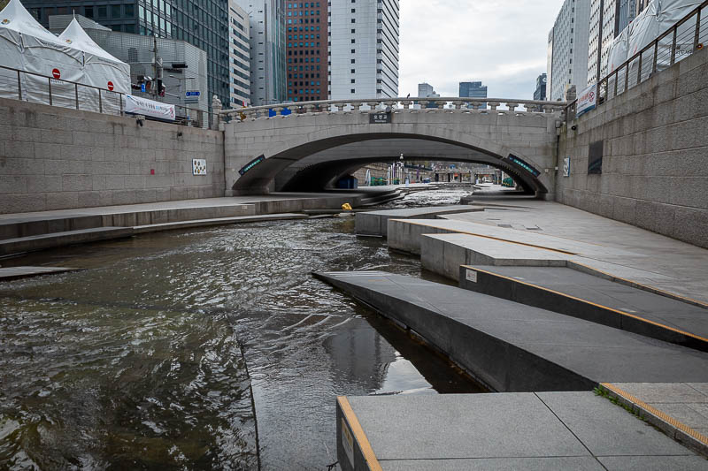
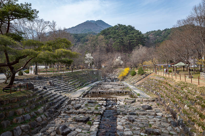
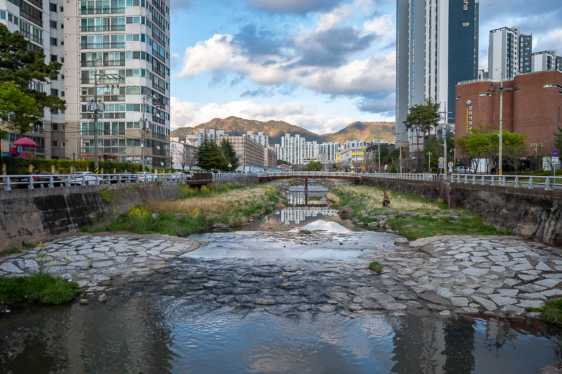
Before heading to the train station I took one last stroll along the stream. This is my equivalent to the excitement others feel when they see photos of hotel rooms.
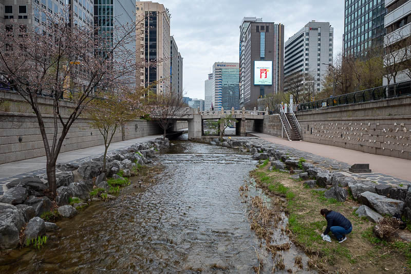
Last stream photo. The woman down there is either weeding the grass or foraging for food, I noticed thistle soup on the menu of some traditional Korean places.
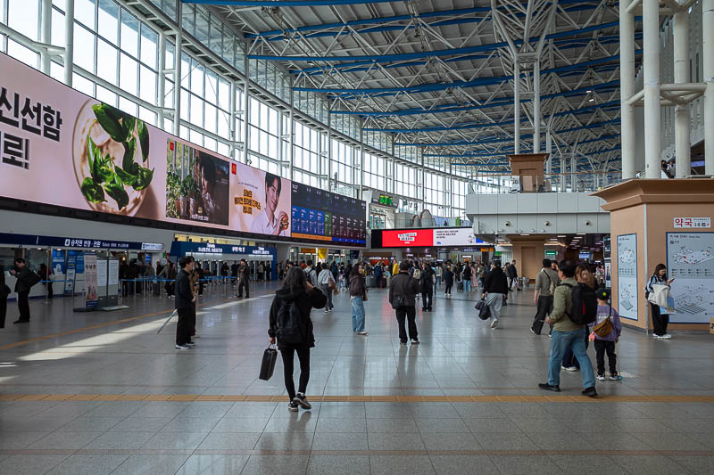
The inside of the Seoul station is very familiar to me.
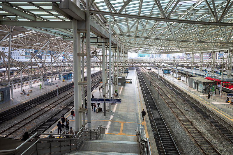
Lots of trains leave from here to every corner of the country.
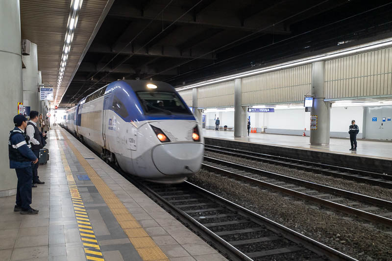
Here comes my train.
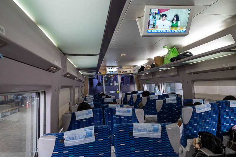
The inside is a 2x2 layout. This is economy class. I have some first class bookings later in the trip. It is very very cheap compared to Japan, probably 1/5th the cost.
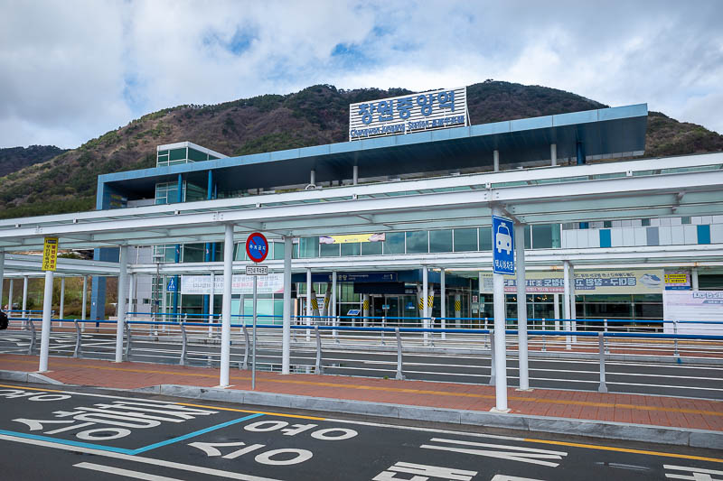
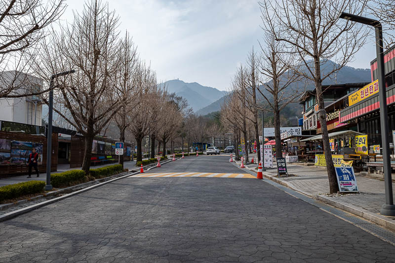
Before too long I arrived at Changwon Jungang station, on the northern edge of town, with medium sized small mountains on all sides - yes, medium sized small mountains. I am stading at the bus stop with the bus that did not like me.
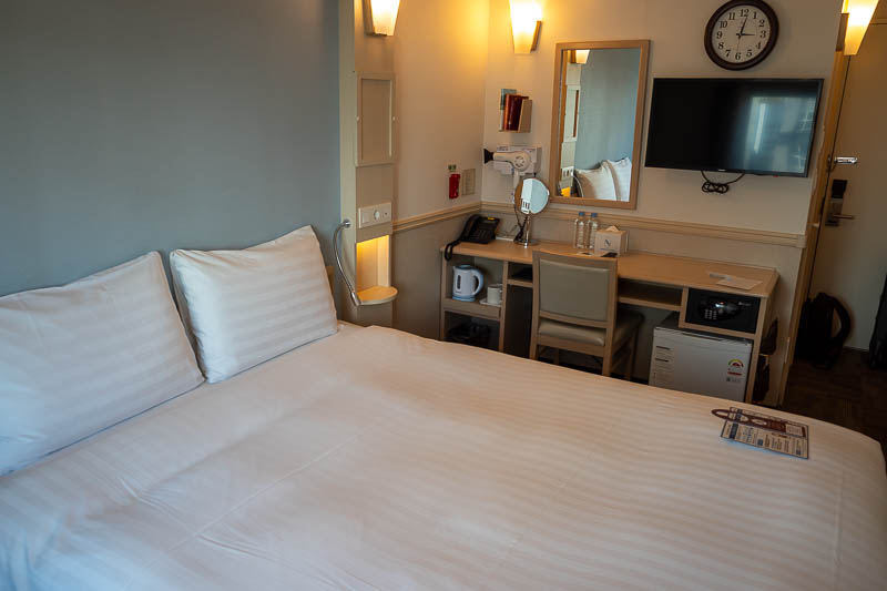
Here is the inside of my hotel room. A Toyoko Inn - yes the same Japanese brand that famously cancelled my Seoul booking a couple of years ago. It is much the same as all Toyoko Inn hotels in Korea, my next stop is one too, and I have stayed with them in both Daegu and Busan previously. The rooms are slightly bigger than in Japan, there is a small table and two soft stools where I am standing.
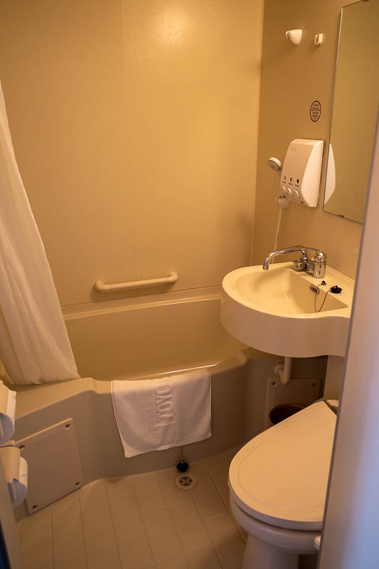
If you have been to Japan, you have seen this bathroom.
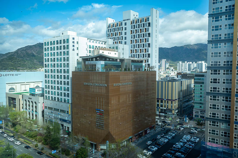
My room has a view... shot through glass, although the window does open. Lots of very modern looking buildings. Now to work out what I am supposed to do while I am here.
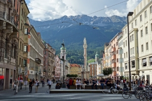
Sangnam market area
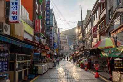
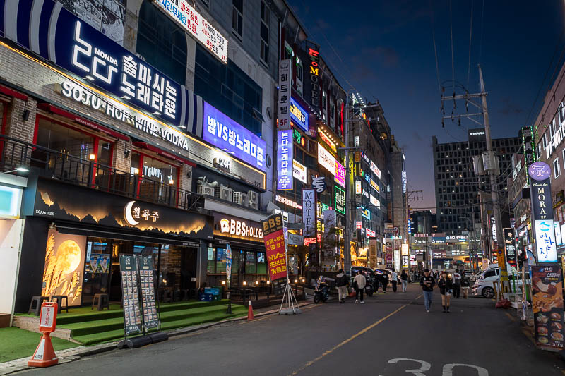
Changwon is not all planned city and wide streets and brand new buildings. Either side of the main streets there are night life areas, one side is more bars and nightclubs, the other is beauty products, photo booths, claw machines and restaurants. I prefer the latter and to hang out with the children. I make them uneasy.
So I know Changwon is a small city, but it is very dense, and so there is still a lot of bright lights and shops. It is also a confusing 'city', because I think it might be 3 cities that are not even connected, except by bus. The part of the multi-city planned city I am staying in is officially, Korea's first planned industrial city, whatever that means. Wikipedia explains it as - "As Korea's first planned city, modelled after Canberra, Australia, Changwon uses accessible urban planning including many parks and separate residential and industrial areas".
Bragging about being like Canberra is an interesting choice.
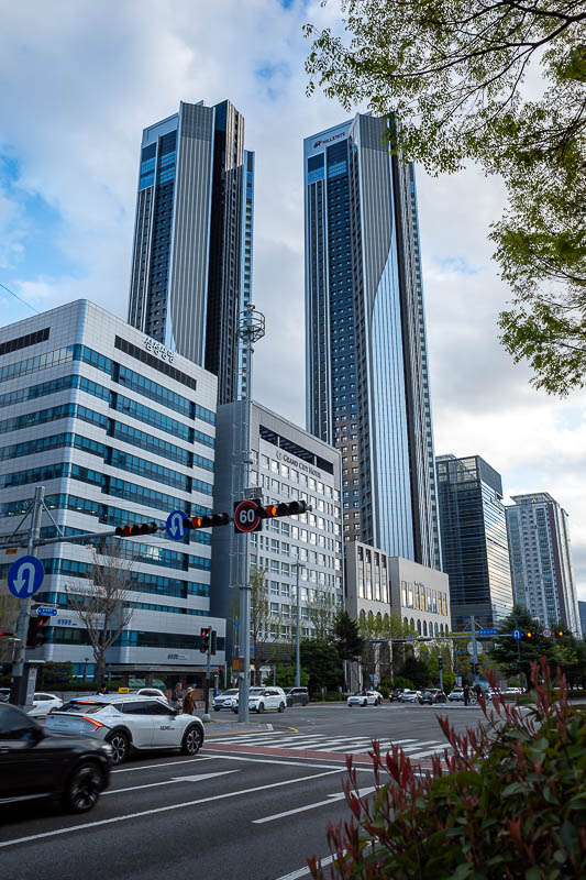
There are no buildings that tall in Canberra.
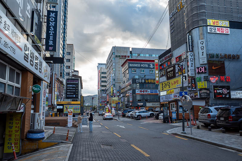
This is a couple of streets west of my hotel, and I think it is a bar and nightclub area.
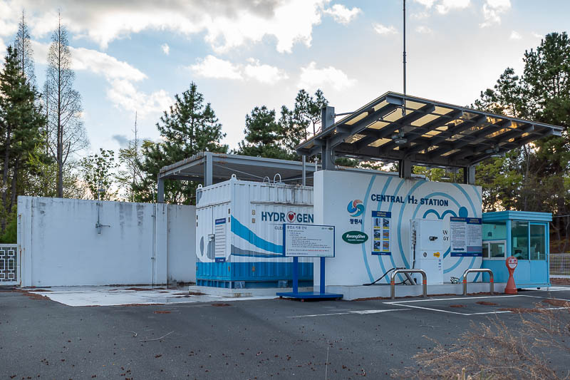
You can refuel with hydrogen here and zeppelin yourself.
I found the drain! I found the drain!
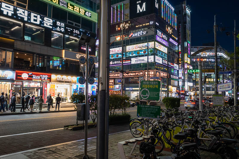
This is one of the main central streets, with department stores, wide streets with wide footpaths. Very clean and sterile.
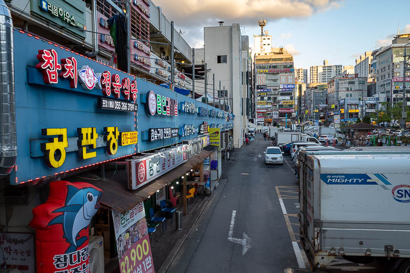
However one street over is the Sangnam market. Closing at this time, but large and chaotic.
The busy area. With less wide footpaths.
For my dinner, a very filling tofu and udon stew, with fried tofu inari, but with a Korean twist of being filled with Kimchi (of course) and bean sprouts. I think this is a specialist tofu restaurant, but word of warning to vegetarians, tofu restaurants in Korea does not mean it will all be vegetarian.
Note that there are no footpaths.
I hung around for it get dark so I could bathe in the fluro glow of neon.
Tomorrow is a hiking day. I have not chosen the hike yet, I have 3 to choose from, and only time in Changwon to do two.
There are currently 1 comments - click to add
mother on 2026-04-04 said:
I have yet to run across a nice tofu restaurant here.
Bulmosan from Seongju Temple
Easter Sunday, that means it's a hiking day.
Today I went somewhere that has no map on alltrails. The map on Naver (Korean google maps because google maps is banned in Korea) showed many trails to the top of the 801m high mountain which is the highest in the area. Those trails are wrong, I think they were sourced from open streetmap years ago, the trails near the bottom are simply not there, I had to bushwhack back to the temple, and then just follow the obvious trail not on the map all the way to the top.
Because of my lack of reliable map, I decided to come down the same way, even though there were a lot of other ridges I probably could have followed.
Also, even though there is a convenience store between the bus stop and the temple, it was not open early on Sunday, fortunately I had bought my supplies before boarding the bus in town.
Now for the stats -
14.57km - but this included getting lost at the start
4 hours 33 minutes - could be done in 4 hours
839m vertical ascent
1,188 calories burned
24,000 steps
The bus did not let me down today, I was allowed to board from the BRT stop near my hotel. It seems as though there are at least 3 buses (busses, I am never sure if it is one or two esses) you can take, today I took bus 151.
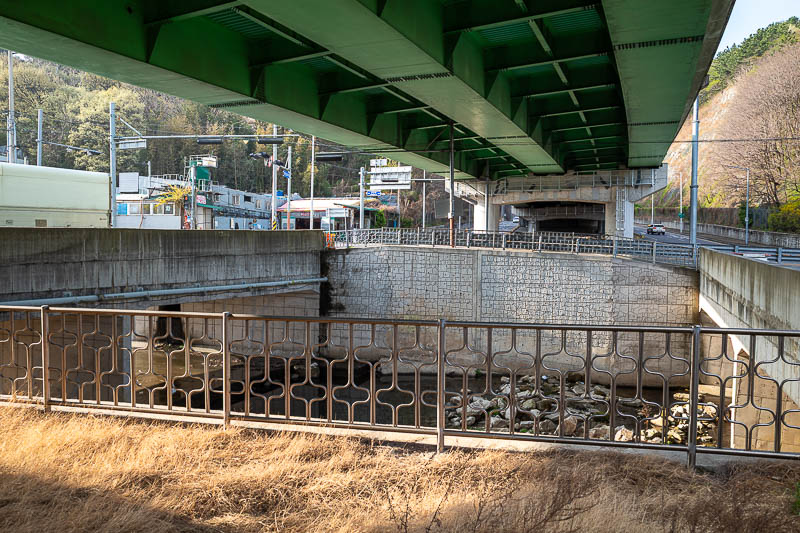
I got off about here, greeted by a drain and a highway overpass.
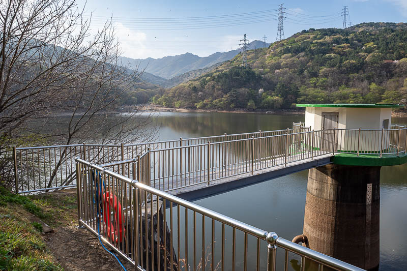
The walk up to the temple goes past this reservoir, which appears to be in use as it has a fence all the way around it, I had to feed my camera carefully through the fence to take this photo.
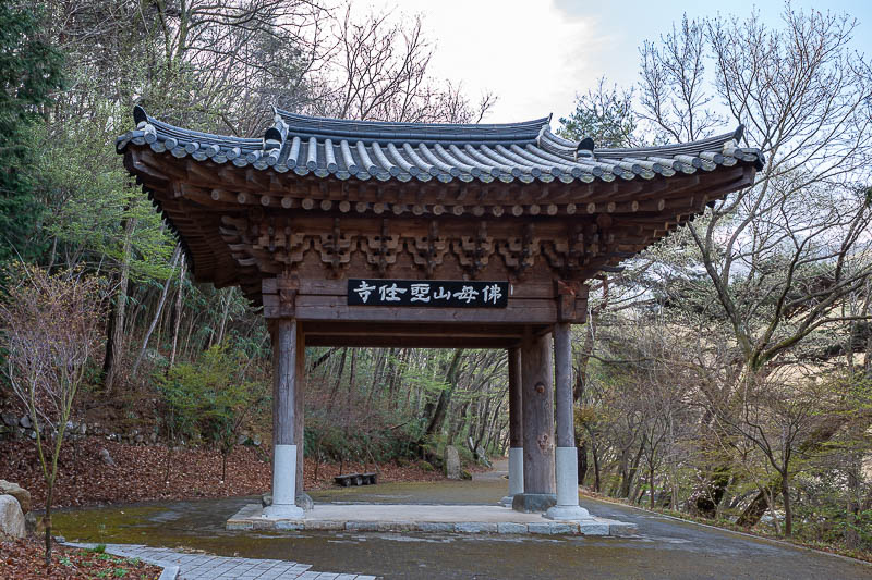
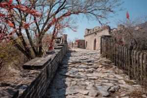
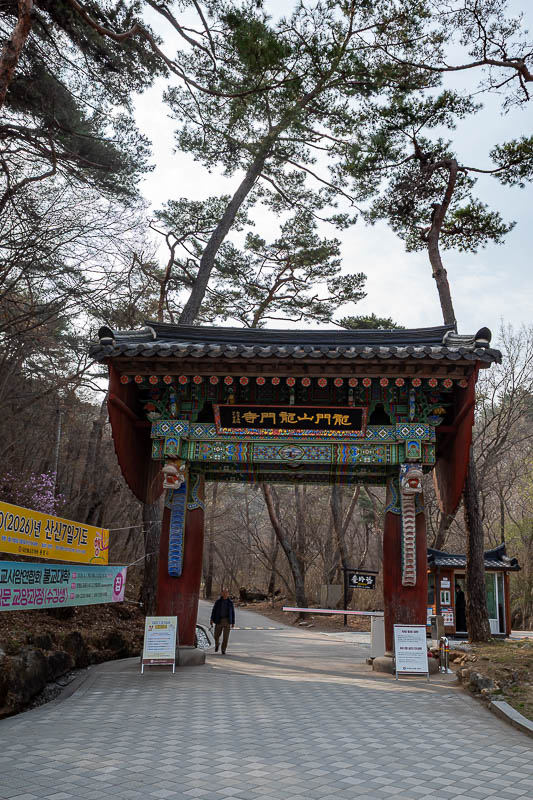
Time to enter the temple area. As mentioned, this is the way to the hike. Today I checked out the temple, doubled back to here, followed a phantom trail that I should not have, wasted probably an hour to slide down a hill back to the temple.
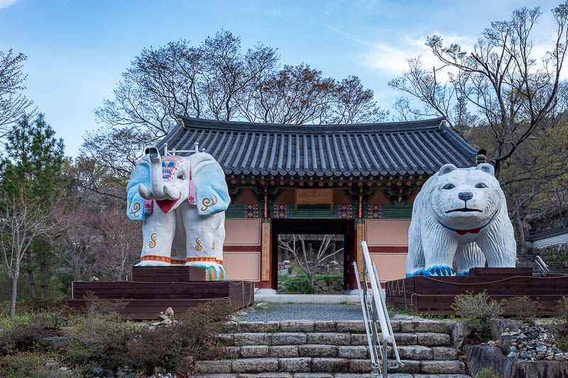
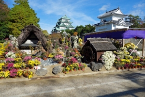
The temple is guarded by a sacred elephant and polar bear, both of which are very common South Korean animals.
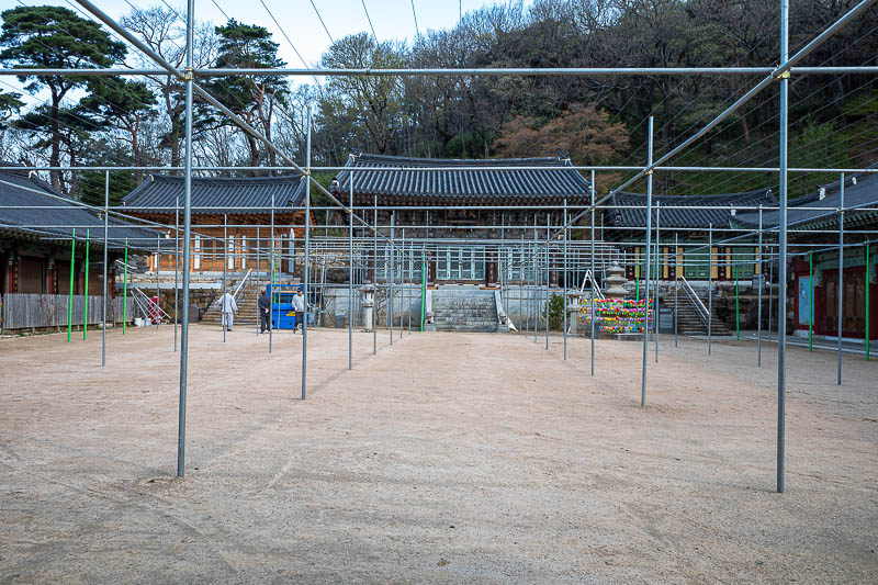
They are preparing for Buddhas birthday, but have not hung the plastic extremely flammable lanterns yet.
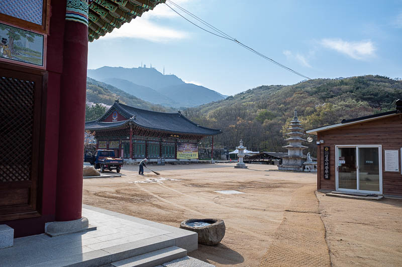
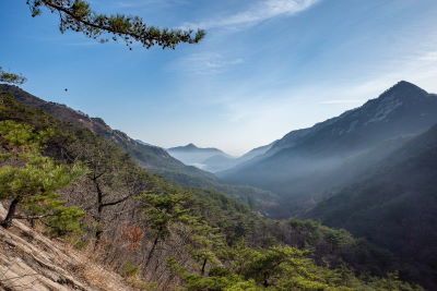
The stone pagoda appears to be the focal point of this facility, although signs say it all dates back to 800AD, none of the buildings appeared particularly interesting. You can also see the towers on top of the mountain I am about to climb from here.
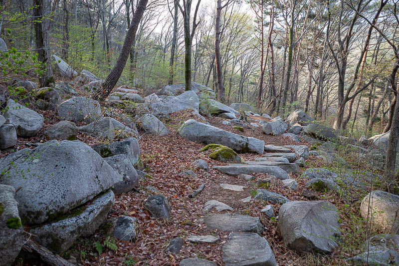
Here are some rocks, however this trail was not really rocky at all, hence it made for much faster progress.
A nice trail with the early morning light. I was thrilled to actually be on a trail after earlier being lost in the scrub.
Greener and less dead than the recent hikes in the north of the country.
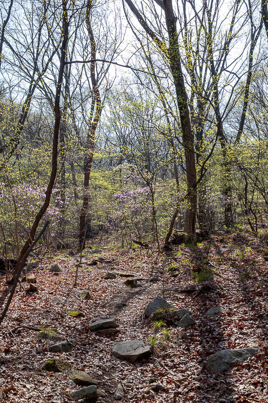
Purple flowers today too.
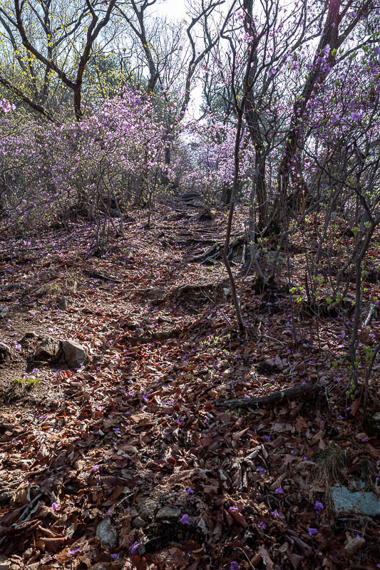
Lots of purple flowers.
This seat and sign actually helped convince me I was on the right trail. Although surely they all lead to the top anyway. The top of this mountain has a public road up to it and is called sunset peak.
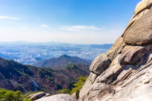
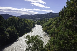
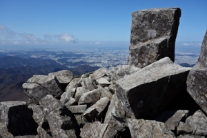
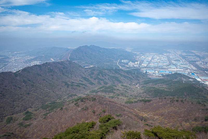
That is part of Changwon down there, soon you will see all the different parts of Changwon.
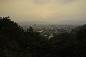
Once I got to the top, there were indeed other people around. Down there is Gimhae, which is basically part of Busan, it is where the Busan airport is. Korea is a small country, I presume I could walk down there and catch a metro into Busan.
A huge number of tv antennas on the summit today.
That is the part of Changwon I am staying in. You can see the clear delineation between industrial and residential areas.
The top has hundreds of metres of walkways and lookouts. I expected there to be more people given that it is a weekend with good weather.
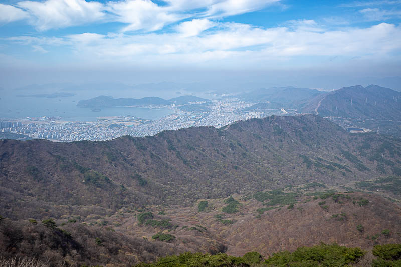
Apparently, that is also part of Changwon, and the ocean. I might go to that part tomorrow, although there is also a third part too.
This photo shows that there is a mountain between the two parts of Changwon pictured above.
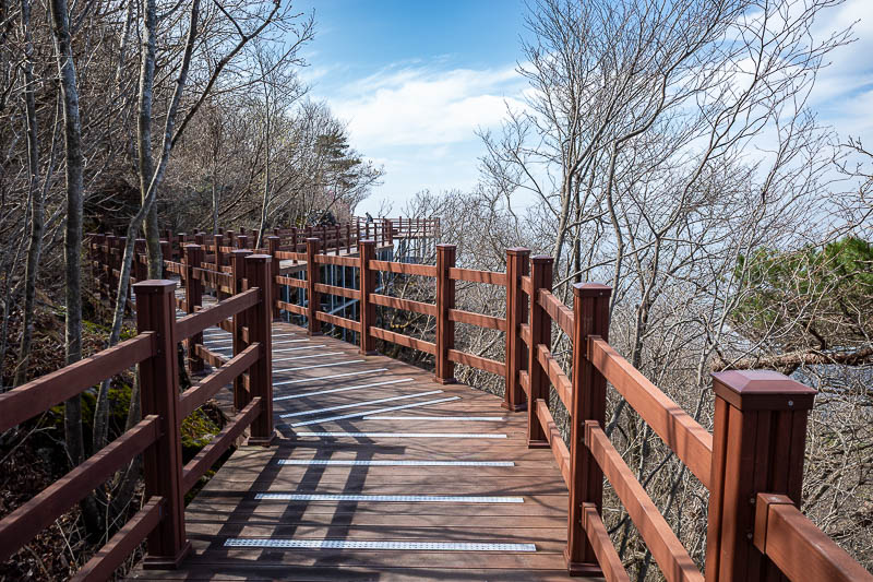
I really enjoyed the summit area walkways.
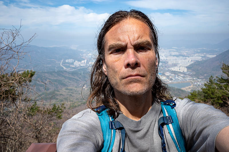
It is me, unshaven, and probably getting too much sun.
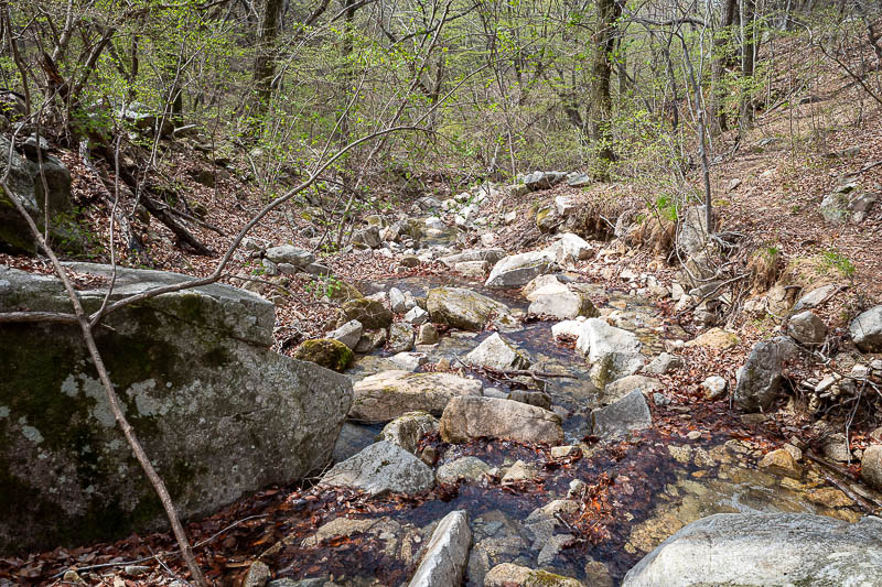
I did not take many photos on the way down because it was the same way as the way up. There is however this one small stream to cross, it was not really a problem.
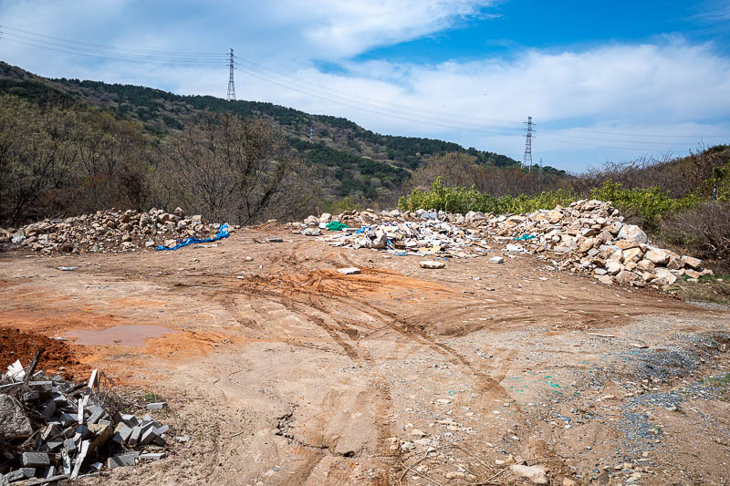
The piles of rubbish signalled that I was returning to the Buddhist temple area.
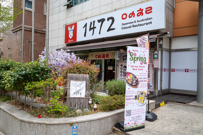
And then as I returned quite early to my hotel, I noticed a new concept in fine dining, Japanese and Australian fusion, complete with a kangaroo dressed as a samurai. Perhaps I will go there for dinner.
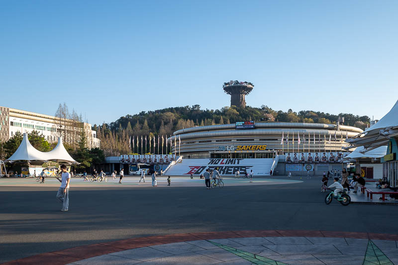
City 7 Mall
Since my hike today wasn't particularly long, tonight I walked the length of this part of Changwon - refer to pics from earlier that explain how there are multiple parts to the city.
This journey took me past stadium land, with a swimming centre, velodrome, baseball stadium, and the tree of life from avatar on top of a hill - very weird looking plastic tree with trees on top of the tree.
After about 5km of very fast progress as there are almost no crossing roads, I arrived at convention centre world, and the cities only mall (a new much bigger one is under construction nearby).
This is the kind of mall that is part indoor, part outdoor, with circular bits connected by curved walkways, which all makes for a confusing mess, there were not many people there on a Sunday night either.
Along the way I got to witness an old lady walking in the bicycle lane, with a broom, who's hobby in later life is to try and whack children with her broom as they ride past her... in the bike lane. Free entertainment, I kept my distance.
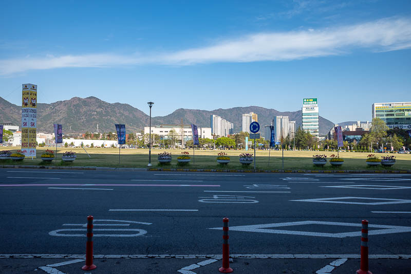
This is the big roundabout at the end of the big wide street my hotel is on. It is so big, and so full of nothing but grass, that it makes for the most boring of photographs.
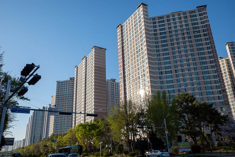
Identical apartment buildings, for as far as the eye can see. This must be the designated residential part of Changwon.
A velodrome, or as the sign says, Changwon Bicycle Cultural Centre.
The bike riding continues outside. Note that is the strange tree of life thing on top of the hill behind the basketball stadium.
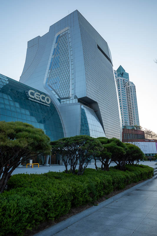
The other end of town is convention and exhibition centres. And big western hotels. It was very quiet.
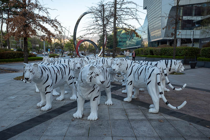
I found Korea's missing tigers!
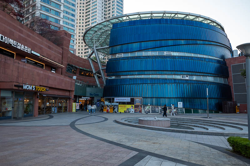
There is however a mall, not just any mall, the City 7 Mall. I have no idea what the significance of the name is.
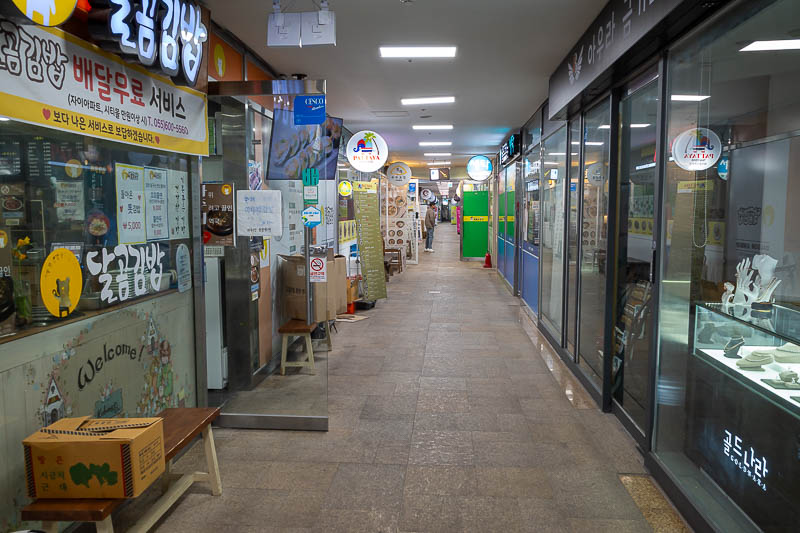
It is very strange inside, lots of little narrow laneways shooting off the main indoor/outdoor areas.
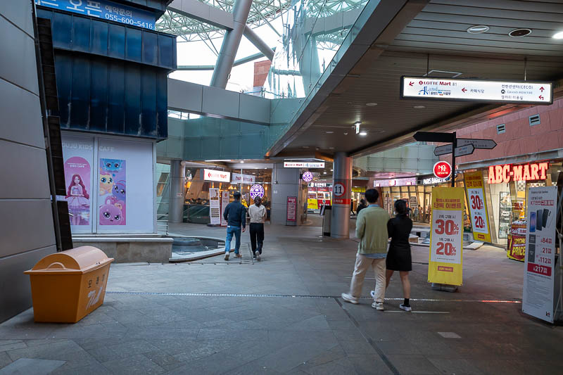
It probably needs a full makeover, a new Starfield giant mall is under construction nearby, perhaps this one will close down when that is finished.
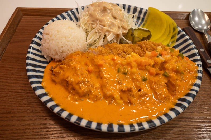
My dinner is... yellow. I did not mean to order this. I had to order from a machine with no English, and tried to match the Koran symbols from a picture on the wall. I guess I guessed wrong. What I got was pork cutlet with a cheesey sauce, with random diced frozed vegetables on top. It was actually ok, and cheap too!
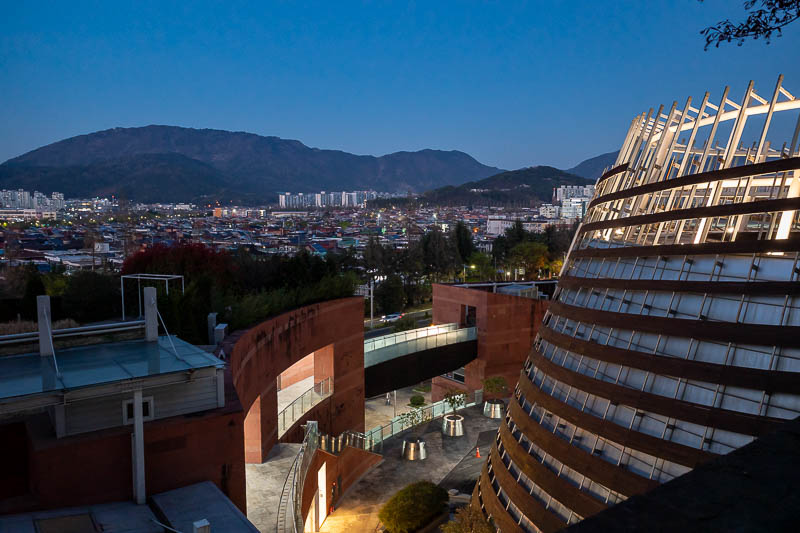
To end the evening, I climbed up to the roof. It had a roof garden. It was very dark up there and I am not sure I was supposed to be there.
Tomorrow I will probably go to 2 different places. There will be a lot of studying of bus routes required.
There are currently 1 comments - click to add
Adriana on 2026-04-05 said:
Nice blue sky today
There are currently 2 comments - click to add
Adriana on 2026-04-03 said:
Those rocky trails must all turn into rivers when it rains.
Adriana on 2026-04-03 said:
Those rocky trails must all turn into rivers when it rains.