
Aviation Museum and Haengjusanseong Fortress
During the night I could hear strange noises at about 3am. Pumps and what sounded like cracking glass. I thought maybe there was a gas attack from North Korea so went back to sleep and thought nothing of it. In the morning, there were huge puddles and... clear blue sky. I think it rained a lot, but the rain was gone by the time I woke up, 6 hours ahead of the forecast.
I had planned an indoor activity on this a non hiking day, that I expected to be impacted by rain, but since it was already blue sky, I decided to tack on an outdoor activity too.
The first stop was Gimpo airport, the lesser airport, where there is a very exciting aviation museum. I had read that it was rather lacklustre, but I thought it was really good, and it was free too.
As usual I was there too early, so I looked for coffee, there is a huge mall but that also does not open until 10:30, so I ended up having coffee in the airport arrivals hall, marvelling at just how many flights there are between Seoul and Jeju island (the busiest airline route in the entire world).
After the museum and lunch, I headed across the river to a mystery mountain fortress. The mystery was, there is no fortress anymore, no matter how hard you look.
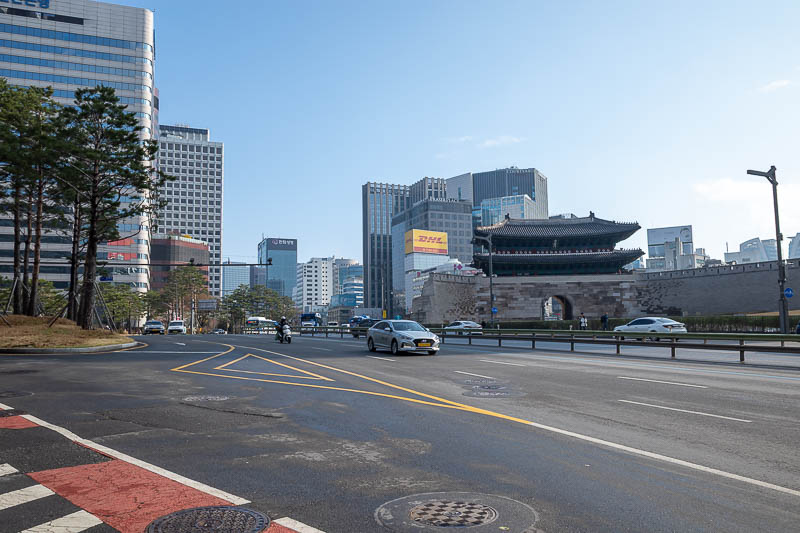
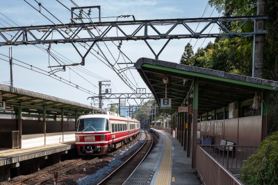
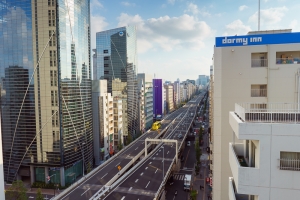
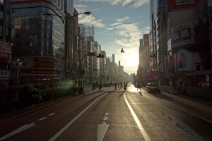
Behold, the surprise blue sky. I had to walk down to Seoul main station to get the train to Gimpo airport, its only about 15 minutes away, I recently did this at midnight when I got here, in the other direction.
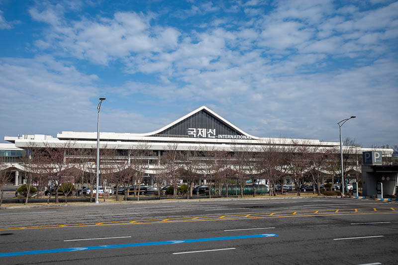
Gimpo international airport. Most flights from Japan and China come to this airport rather than Incheon, they prefer to only receive smaller jets, but primarily the airport exists to ferry people to Jeju island, everyone in Korea on average goes 13.7 times a year.
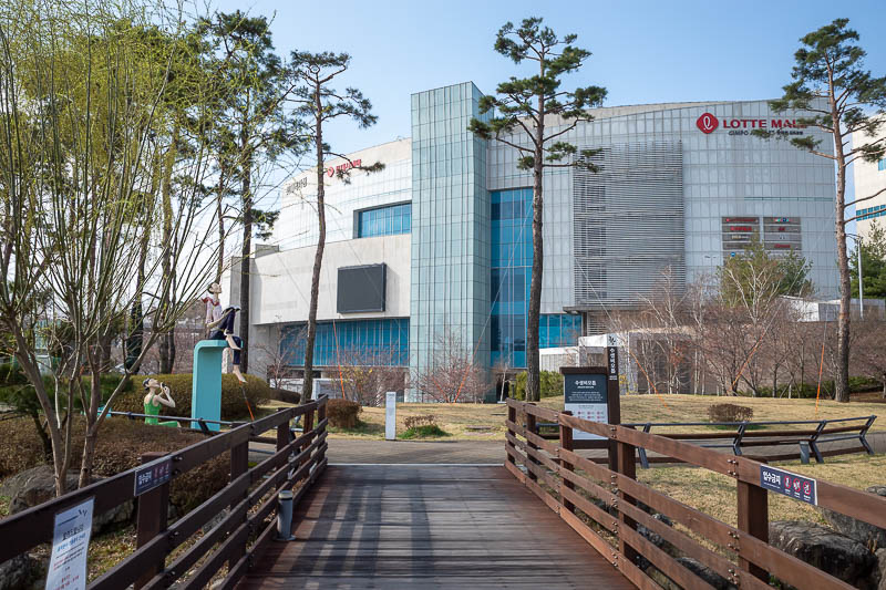
I headed to the mall for a coffee to wait for the aviation museum to open, but it was closed until 10:30, with security checking ID badges letting workers in.
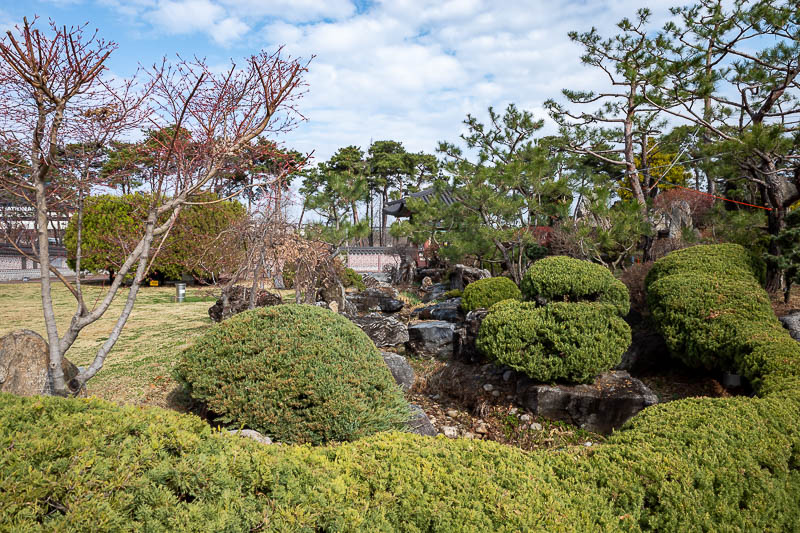
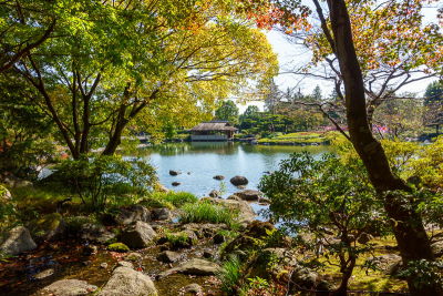
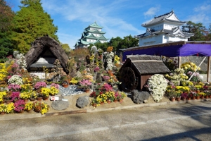
The gardens around it are quite nice.
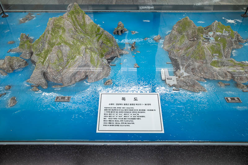
Now to inflame some political drama. In the arrivals hall at the airport is this scale model of what Korea calls Dokdo island, which Japan calls Takeshima and the UN calls Liancourt rocks. Currently various armed fishing boats from both Korea and Japan are circling this island at all times, attempting to ram each other. They have been doing this for about 20 years without stopping, wasting the worlds supply of boat fuel. The diorama greets Japanese tourists as they arrive, the comfort girl statue is just out the door too.
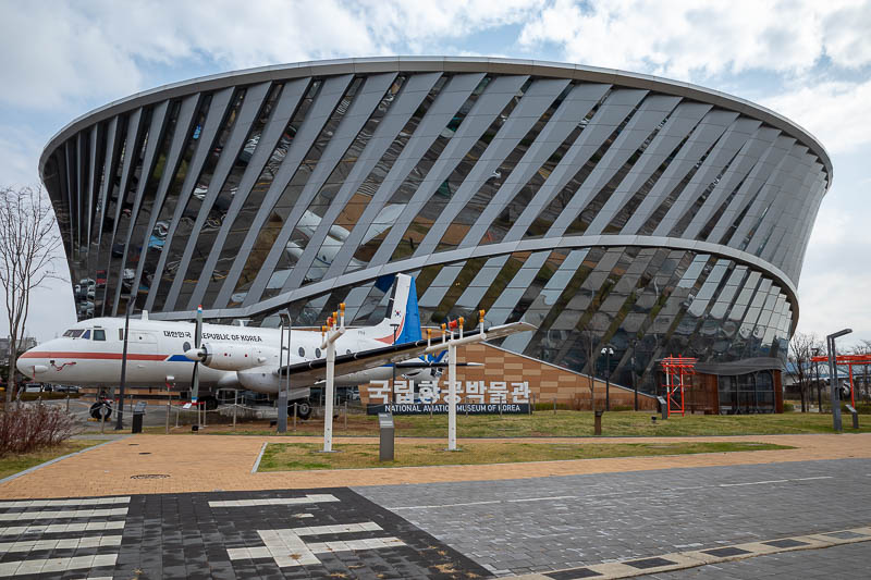
Here is the museum. It is free and great.
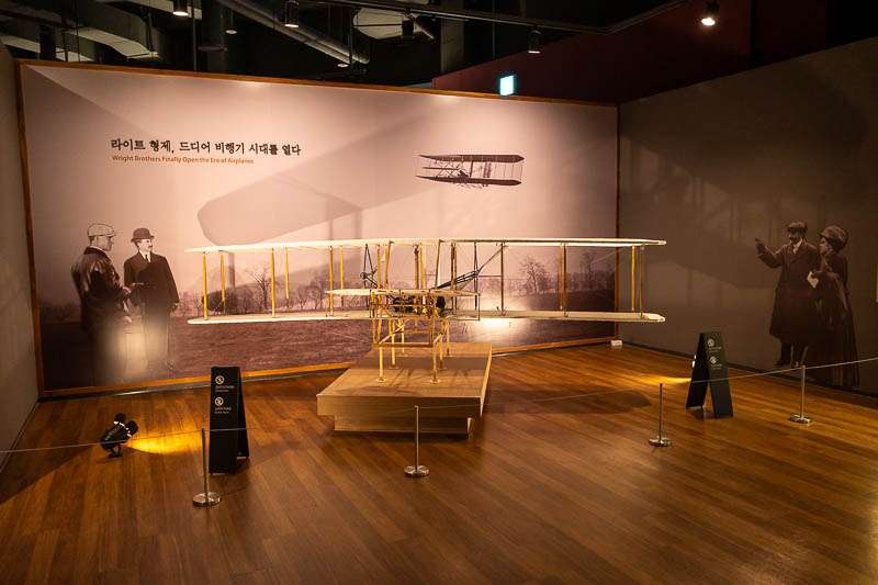
The history of Korean aviation starts with Orbur and Wilvelle Wright.
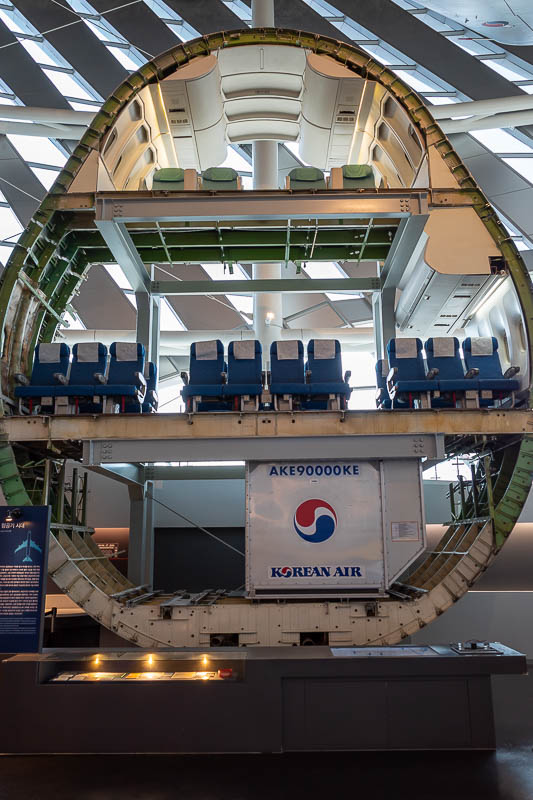
Russia shot one of these down in 1983.
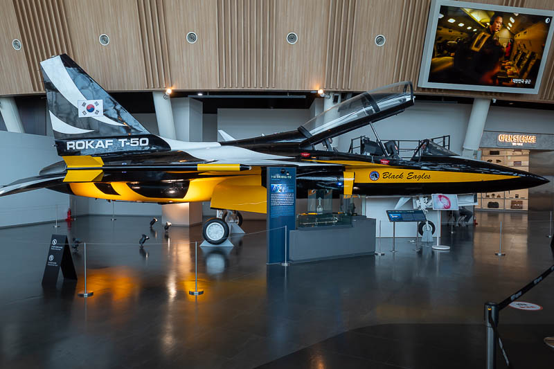
A Korean designed jet. They made 200 of them. I climbed up the ladder to look into the cockpit and next thing a guy is there to help me climb in and sit in it. I had to work really hard to explain to him that I just wanted to look, not sit. I may be the only person ever who did not want to sit.
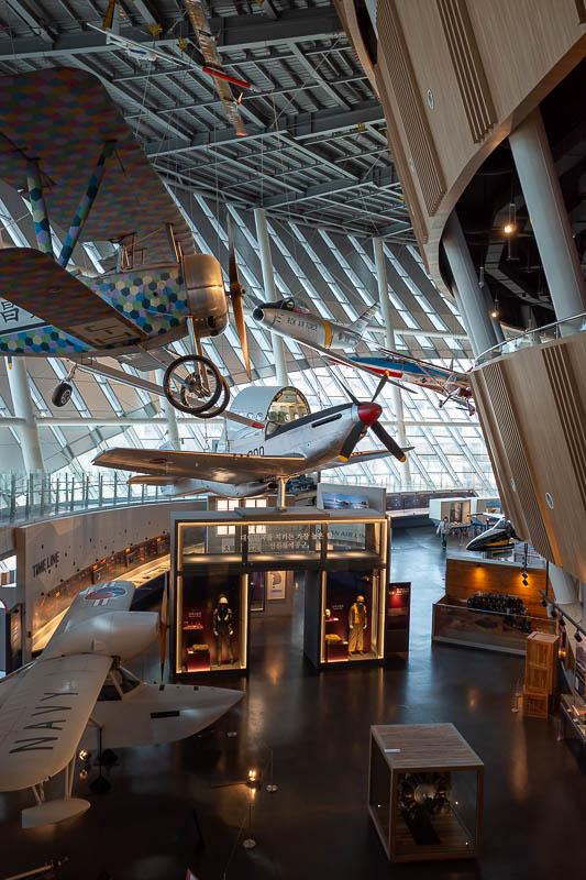
It was difficult to get a good shot of all the hanging aircraft in the main hall because as you can see it goes around a corner.
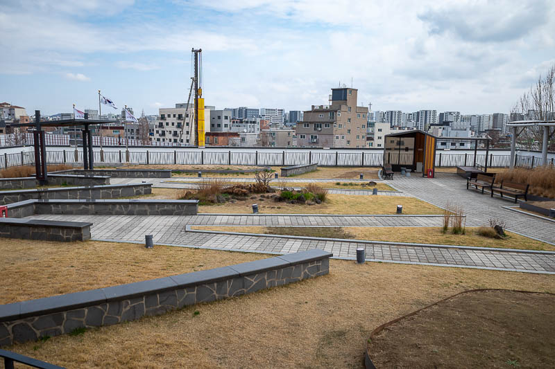
Amazingly, the museum has a roof garden. I feel as though they could have craned a couple of aircraft into the garden. I suspect this view will be gone soon, there is a large construction site right behind it.
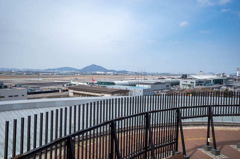
Above the roof garden, there is even a higher observation area, where you can see the airport, kind of.
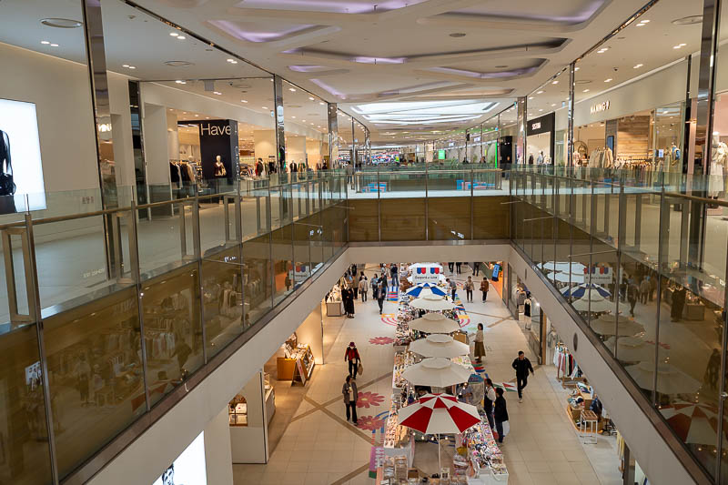
I spent enough time in the museum to go and get lunch at the nearby mall, all connected by long underground tunnels. The mall is very clean and modern.
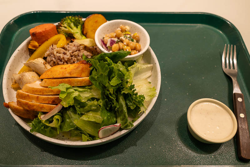
My lunch. I rarely have a proper lunch as it is not possible while hiking. Chicken today, not beef, strangely tofu was not an option. Given that most of my website visitors in the last 24 hours were from Switzerland, this cost 5.23 Swiss Francs.
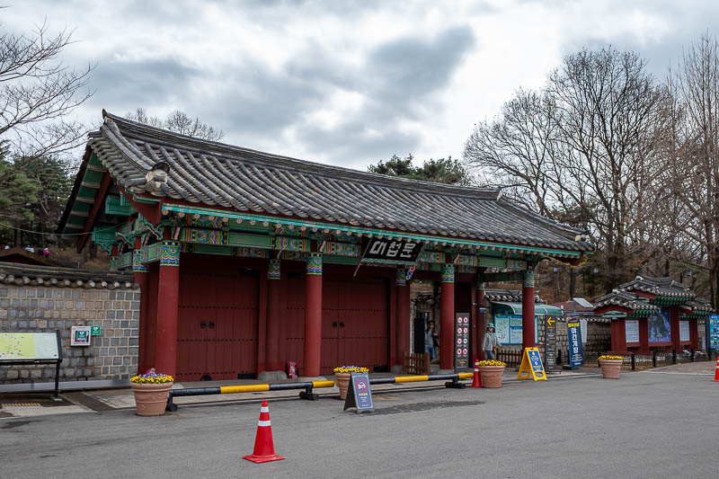
The mountain top fortress is across the river. The train goes under the river. It is a very very long way down to the station. I generally do not get alarmed at this, however this time I did. Anyway, here is the entrance to the fortress, it is nowhere near a train station but a bus goes quite often from near the train station... you need naver maps to figure it out.
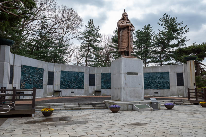
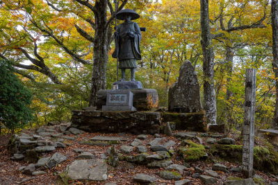
Probably the guy that lived in what used to be the fortress.
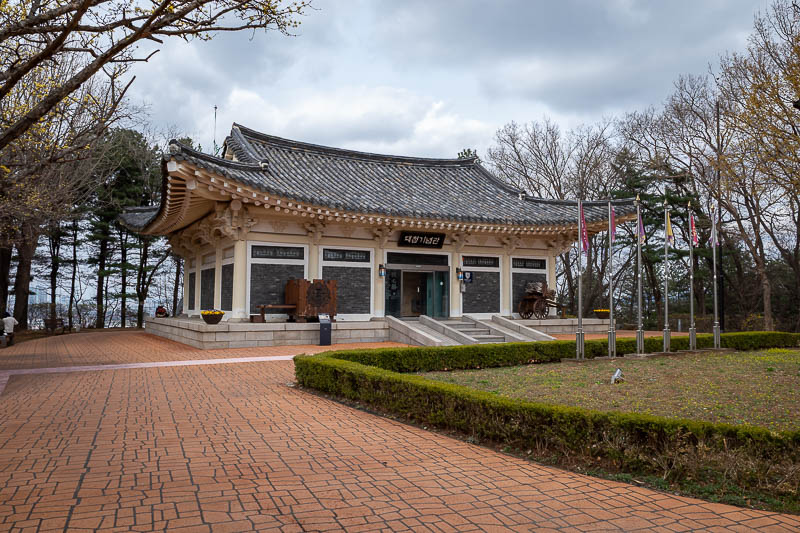
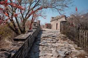
At this stage I still thought there would be a fortress, this is not it.
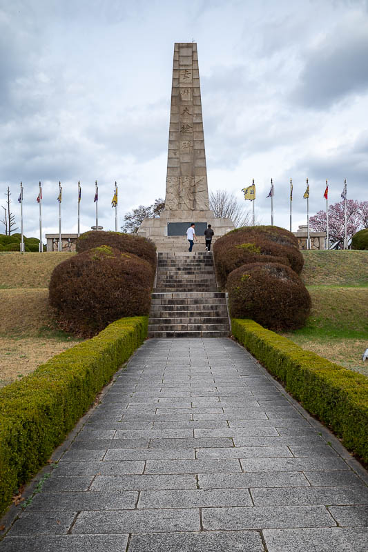
A monument commemorating a battle that occurred at the fortress. I suspect where this is was once a fortress. There were signs showing bits of gravel suggesting it was fortress rubble.
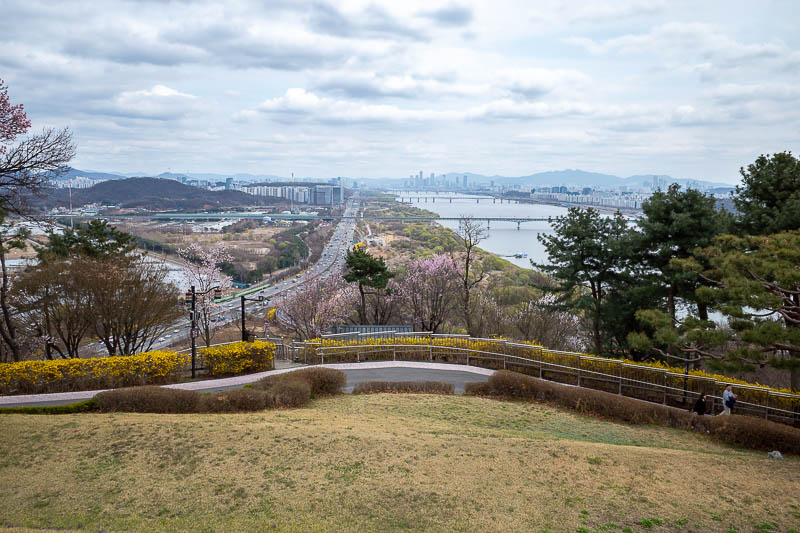
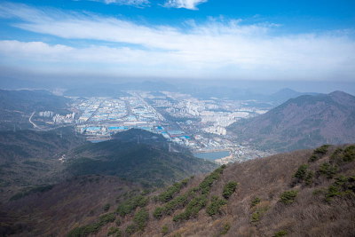
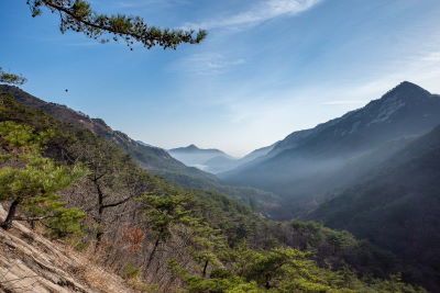
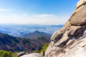
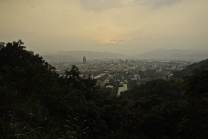
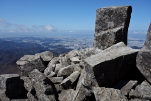
There is no fortress, but there is a great view.
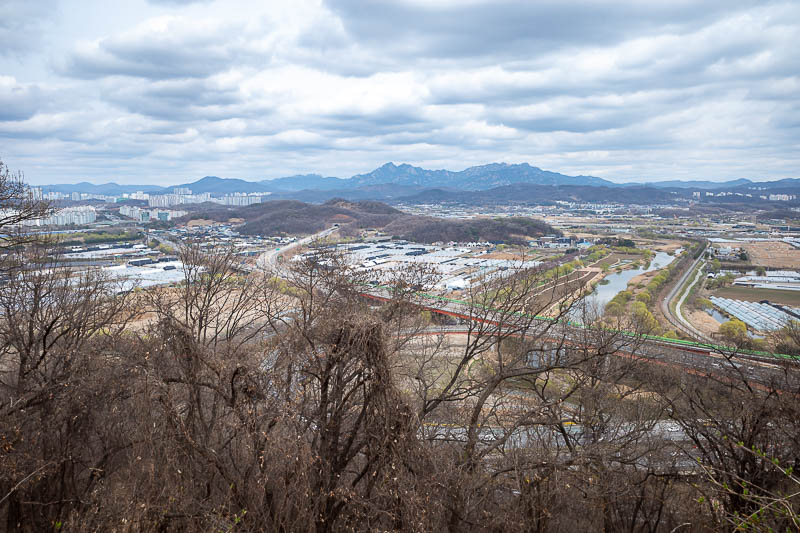
Those mountains are Bukhansan National park, easily accessible from the city, I have been over all of those peaks a few times. Today would have been a good day to do that, as the overnight rain took care of a lot of the pollution.
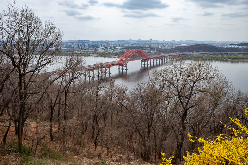
Final pic from the no fortress mountain. A red bridge. Getting back to the city proper went on the new GTX line, after a bus, one station on the normal train and then a transfer deep (but not as deep as before) to the GTX station underground. This made only one stop before getting to the Seoul main station, slashing travel times. However it then takes about 20 minutes to get back to the surface because it is so far underground.
Insadong Ssamziegil
On my various strolls up streets filled with buildings covered in gigantic 3D billboards, I have been constantly seeing ads of fake looking alien faces with Korean hair with what looks like a syringe next to it, and the 'word' Rejuran (which also should be in quotes to express it's fakeness).
I have been trying to get a photo of one of the billboards for a while but they always change back to BTS before I can get my camera out. Anyway, I decided to research what Rejuran is, because I am clueless to all of this because of my natural beauty, and already western looking face that does not need to be cut into to make it look less Korean.
So it turns out that Rejuran is salmon sperm in a syringe, that you inject into your face, and people are flying to Korea specifically to use it, because someone on instagram told them it's great.
Let me check on the oil price again, salmon sperm tourism is using it all.
So anyway, tonight I went to Insadong and had curry.
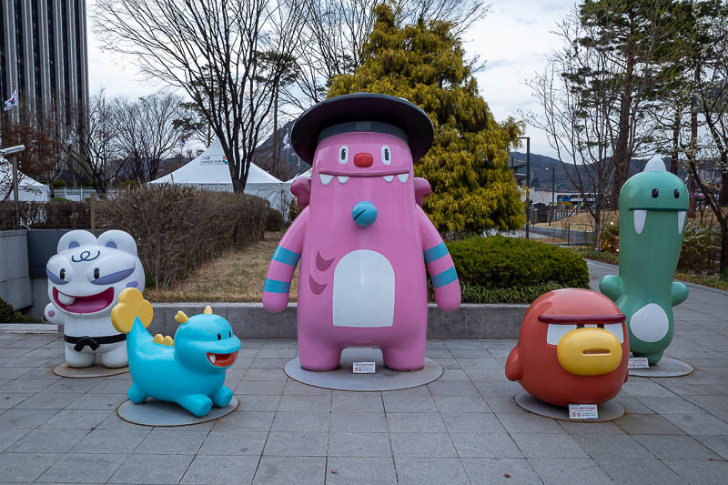
Finally, the entire gang is back together. Thugs.
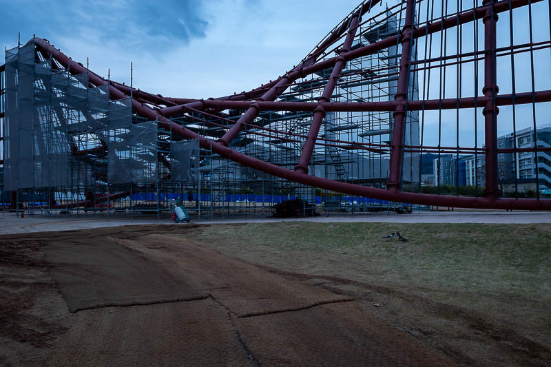
This area next to the main castle used to be a field of flowers to prance through, they seem to have plowed (ploughed) them into the ground, and now a twisted bit of pointless construction is rising in their place.
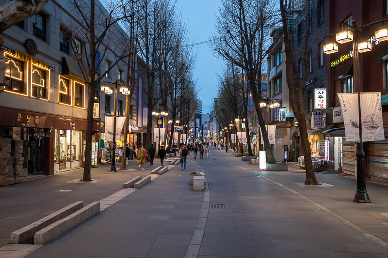
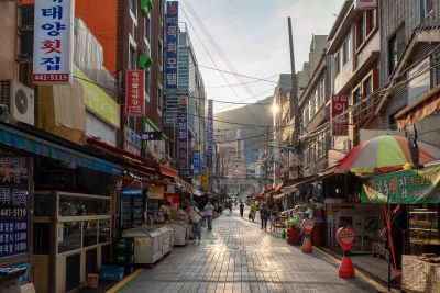
This is Insadong, where all the tourists go to buy trinkets. I expected it to be busier.
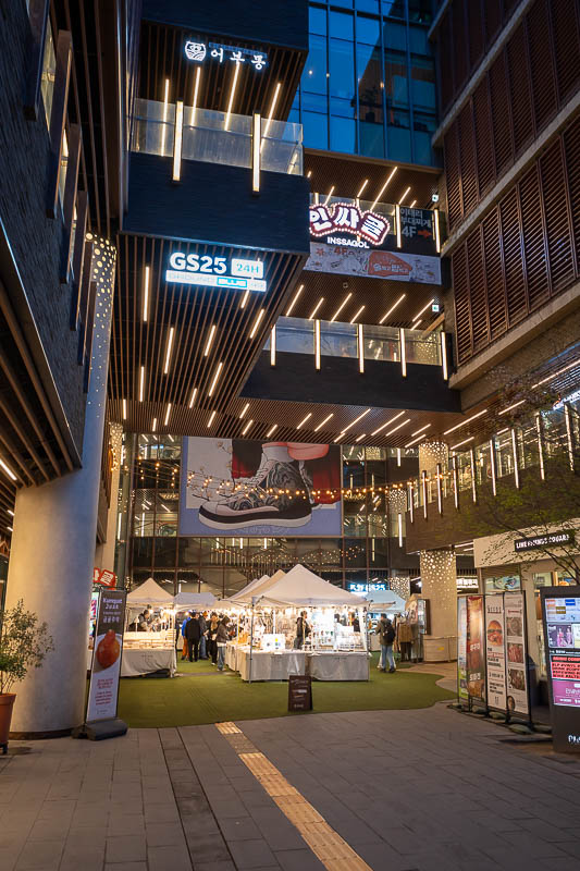
I visit this spot on each visit for some reason. There is a tourist market at the bottom as maybe you can see.
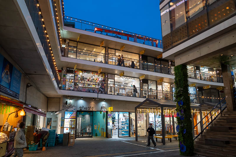
This is probably the most famous shop for tourists in Korea, today I learned it is called Ssamziegil, double s at the start like the Ssangyong car company, and yet Samsung is not Ssamsung. Anyway, you cannot tell from the photo but I am standing inside the spiral walkway that goes continually up until presumably you get to the top and jump.
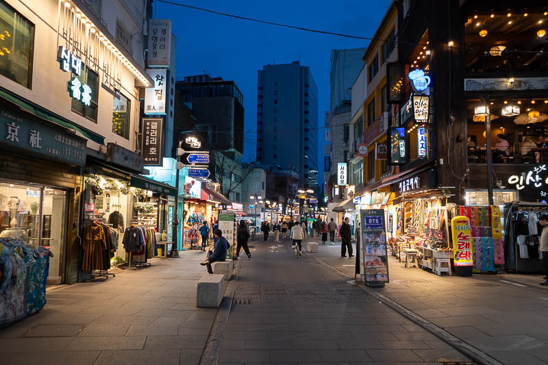
As you get further along Insadong, the shops get less expensive and more filled with plastic.
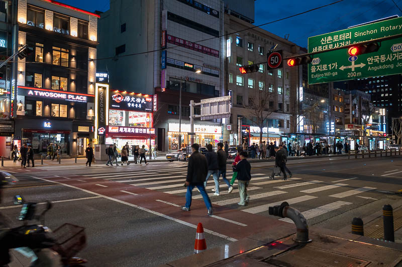
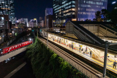
Random busy night scene.
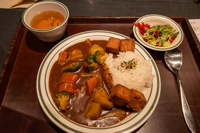
And finally, my curry. Tofu and vegetable. This is From Abiko curry, which I think is better than Coco curry, which they have here also. I feel as though Abiko is like Coco used to be 10 years ago.
Tomorrow is a hiking day. It will be cloudy.
Yebongsan and Ungilsan from Paldang Station
Today I went to a hike I have done twice before. Once in spring, once in autumn. It looks better in autumn, everywhere does. The view is amazing, but not today, today it was very grey and at the end, it even got a bit misty. Still it is a great hike and very convenient, starts and ends right near different stations (Paldang and Ungilsan). There are choices of different trails and I think I went down a different one this time compared to last time, but possibly the same one as the first time. OK I better do the stats and get into the grey dead photos -
28,400 steps
1,231m vertical ascent
5 hours 16 minutes
1,534 calories burned
14.16km station to station
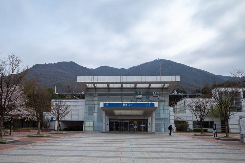
Paldang station. The actual trail starts very close to here. Be warned, there is no convenience store, so get your supplies before you get on the train.
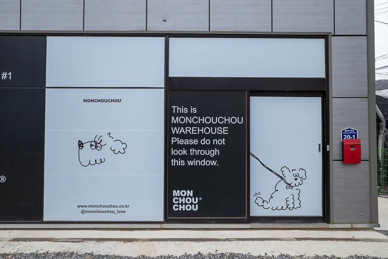
I really wanted to look through this window.
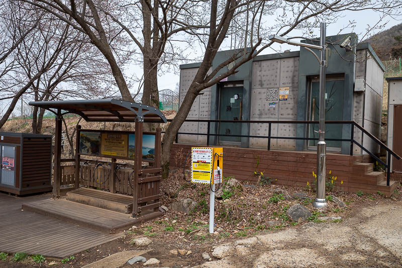
The public toilets and shoe blowers clearly identify that this is a well known hiking trail.
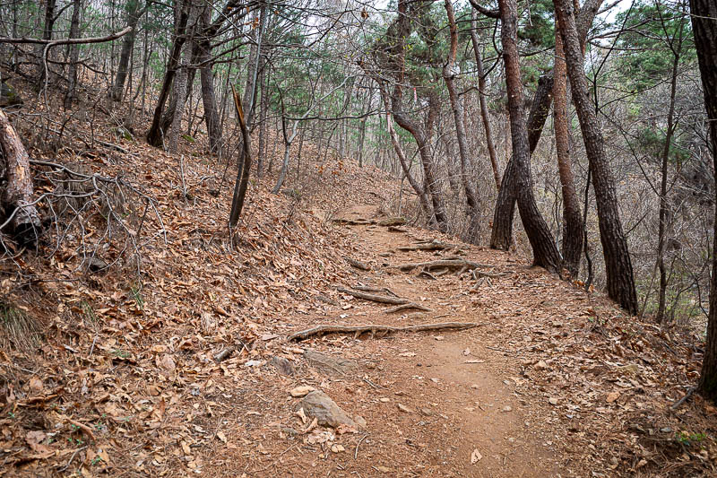
A few bits of greenery in the trees here, but still lots of dead.
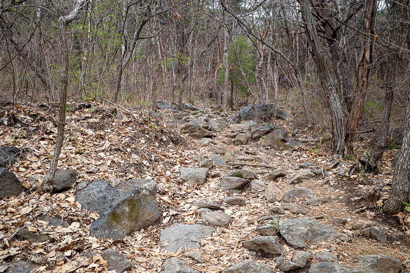
Rocks started. They would persist most of the day.
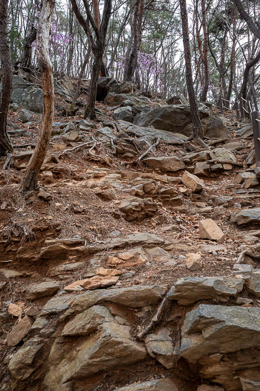
Lots of rocks.
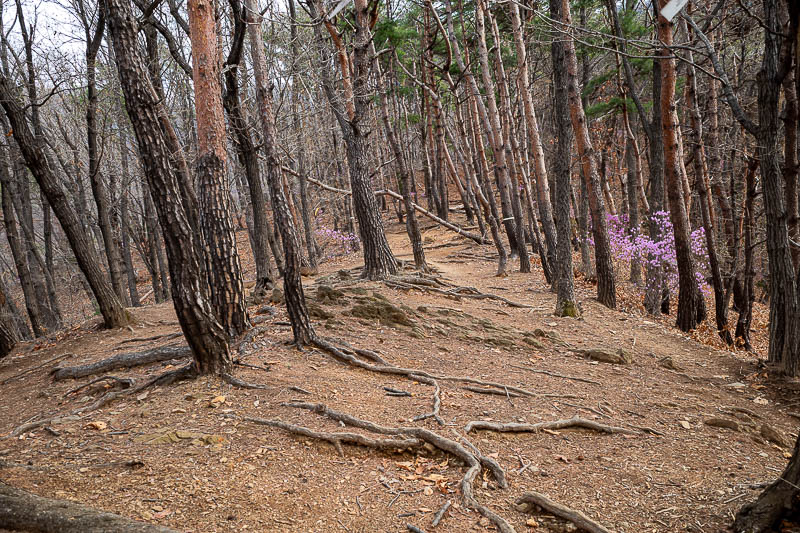
Here you can see the purple flowers that are part of the spring hiking experience in Korea.
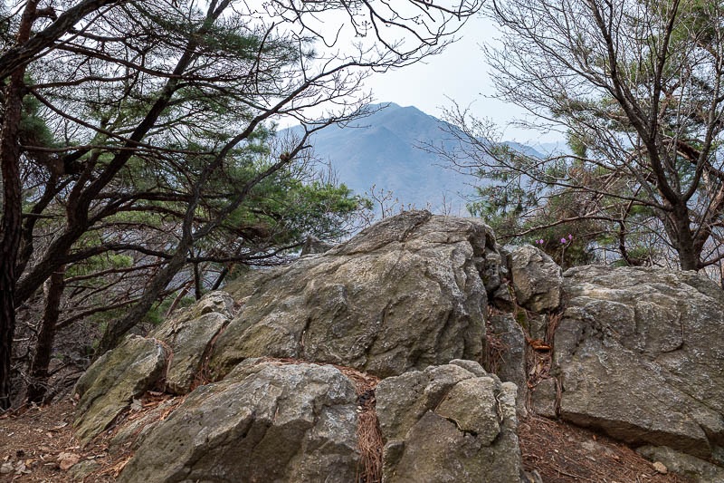
That mountain is across the Han river, I have climbed it before, you will see it again shortly.
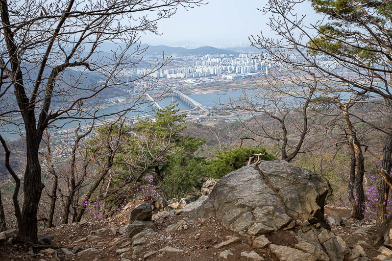
First view point. I have walked over one of those bridges when I started this hike from a train line on the other side of a river on a previous visit... there is a convenience store on the other side.
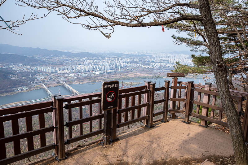
Probably the best view point of the day, I have definitely taken this photo twice before. Still decent visibility at this point.
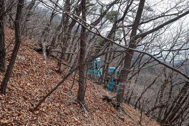
The observatory which you shall see shortly is in use, this tiny battery operated cable car or funicular railway presumably takes scientists up and down from somewhere.
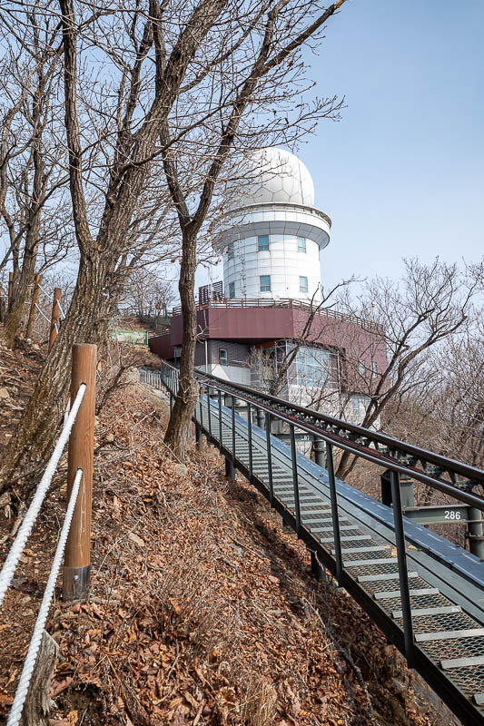
Behold, the observatory!
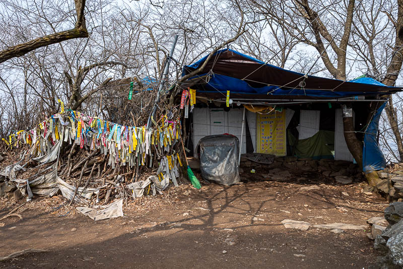
The summit area, and all the hiking club flags. I think on weekends an old wizard sells ice creams inside the tent, possibly transported to the top by the scientists.
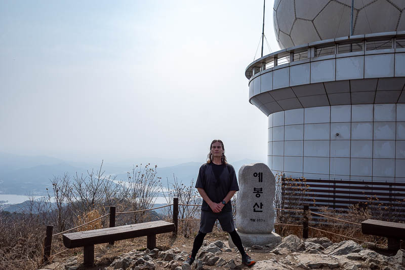
This is the infamous spot where I noticed one of my cameras had huge dust spots, which ultimately destroyed that camera. Also, I am not sure why my hands are in front of me, stance shots require hands behind back.
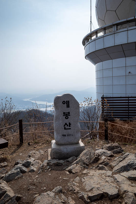
Same shot without me. There was one other guy at the summit briefly, he went down again, weak.
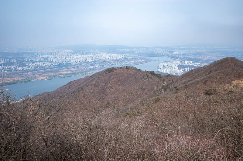
Looking back towards Seoul.
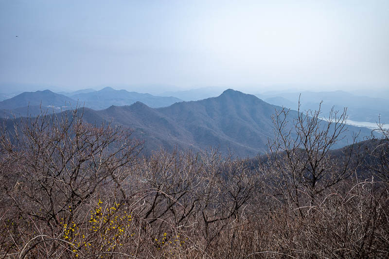
I shall continue along all of those ridges. The haze is making for a strange twilight.
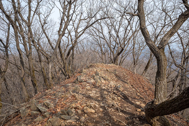
Last time I briefly took the wrong trail and had to double back, no such mistake today.
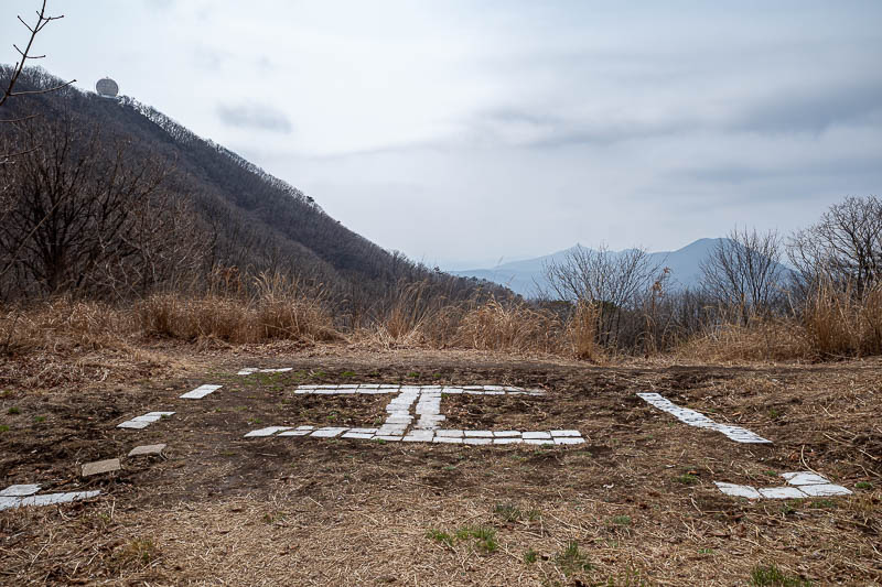
The first opportunity for me to get rescued by a helicopter. You can see the observatory here too.
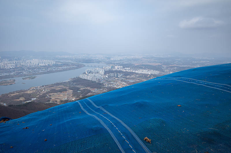
This is a hang gliding launch point. When I arrived here the first time I did this hike, I was surprised by this. There is a strange dirt road that comes up between the mountains to here, it is not on the map.
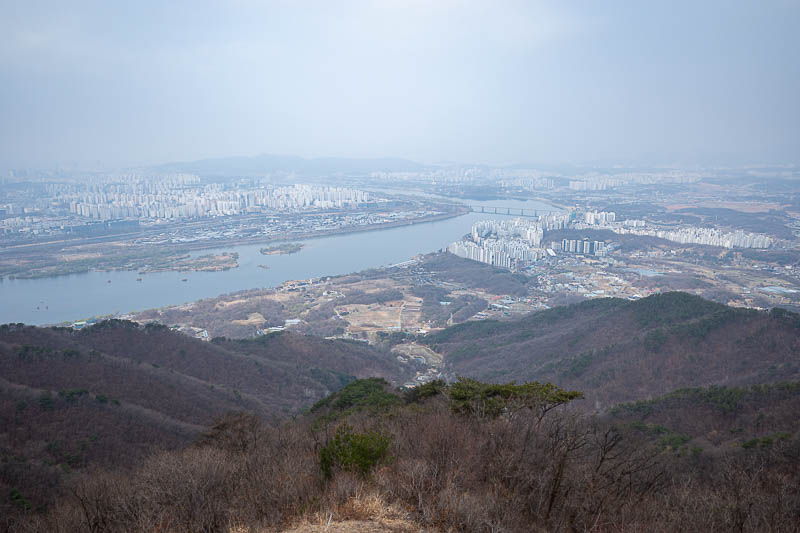
I launched myself to take this photo. Getting darker and a bit misty.
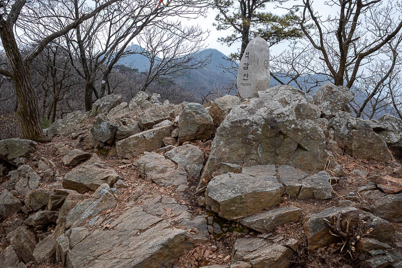
Next peak, no view, lots of rocks.
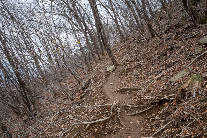
Believe it or not, probably the only dangerous part of the hike, the slippery brown muddy bit is on a bit of an angle, my foot slid sideways a couple of times.
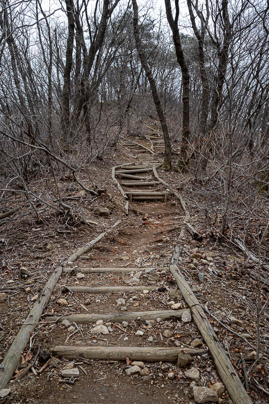
This staircase has seen better days.
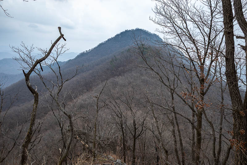
The next and final peak.
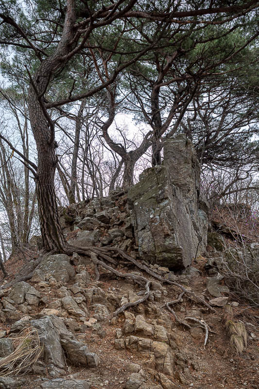
Things got a lot rockier.
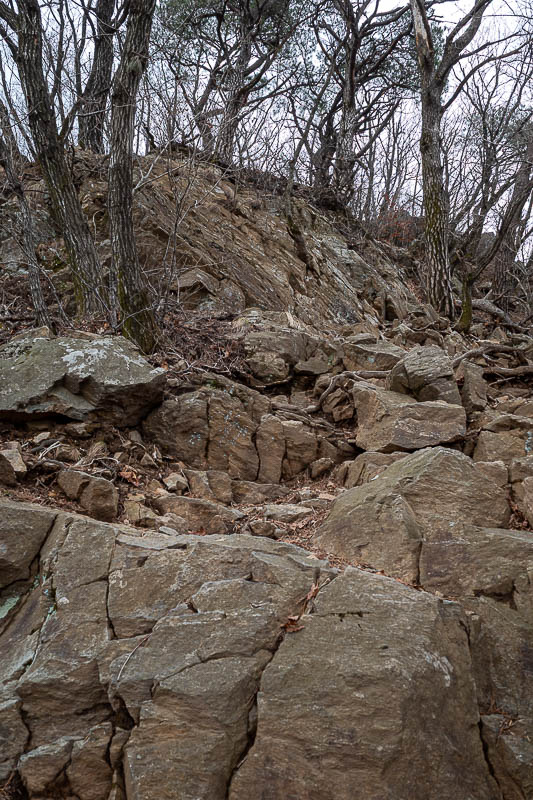
The final ascent is very tiring.
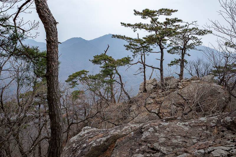
Squint and you can see the observatory, near the end of one of the branches, far away.
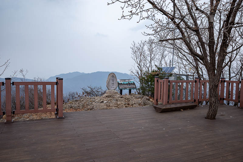
Final summit, with a big deck. A lot of people come up to here and turn back, the path between the summits I saw no one at all.
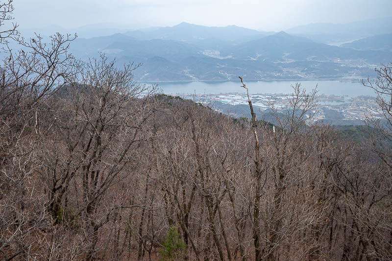
Now I will go down there.
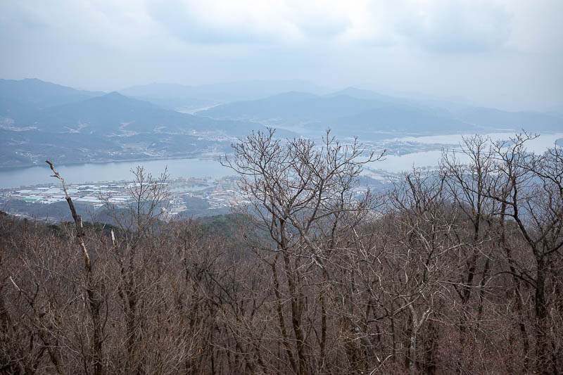
I have a great shot of this view on a clear day, not a great view today.
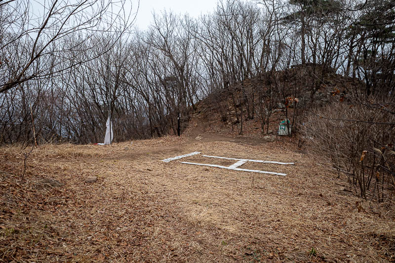
Last chance to get rescued.
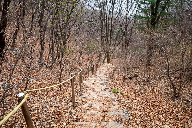
Right near the end and a rocky staircase appeared.
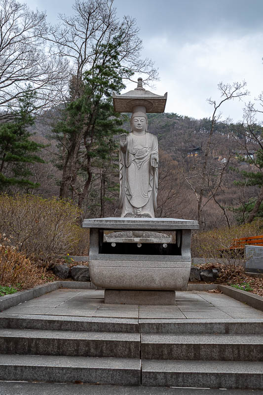
The friendly skinny Buddha signals the end of the trail and the start of a road back to the station.
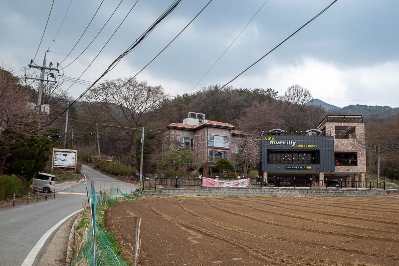
There are a few cafe and holiday house type places around the bottom.
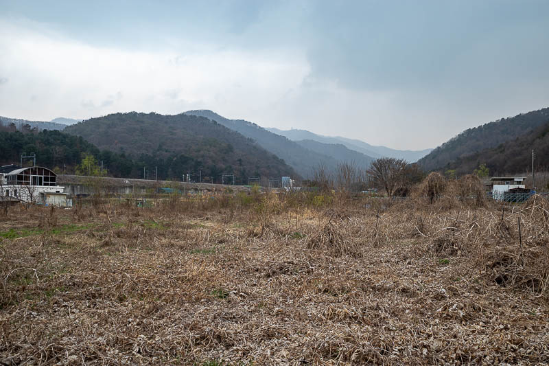
I have taken a photo here in autumn when the field was full of crops. Those are the mountains I climbed along today.
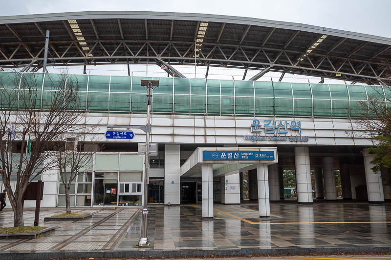
And finally, I was back at Ungilsan station, just as a very brief rain shower passed over. A medium sized hike today.
Seoullo 7017 and Namdaemun market
After my long hike I was hungry but still like to go walking regardless - 40,000 step day today.
So my journey went to the elevated walkway that used to be a train line known as Seoullo 7017, I think the first time I came here it was brand new, it no longer is.
The view from up there is great, and there was a surprisingly high quality sunset for Korea, where the sky is usually smog, fine dust and bbq smoke.
It was then time for dinner, and today Shinsegae department store was not having a day off, so I was able to head into the basement and have Korean food, in Korea. Who knew.
Finally, I headed back through the labyrinthine Namdaemun market and in the 2 years since I was last here, a roof has appeared.
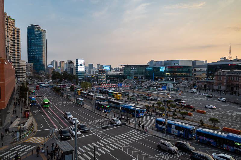
Great view from Seoullo 7017, look at all the buses. Public transport is great in Korea. The Australian Prime Minister just held a special national address to the nation to nationalise the national patriotic spirit to please take a bus to work so that we do not run out of jet fuel to bring me home. I feel special.
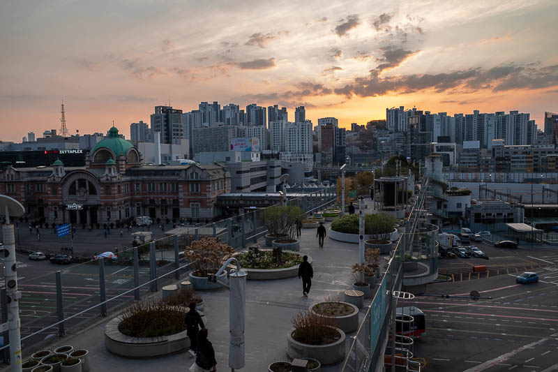
Behold, an actual decent sunset, in Seoul. That is Seoullo 7017 below.
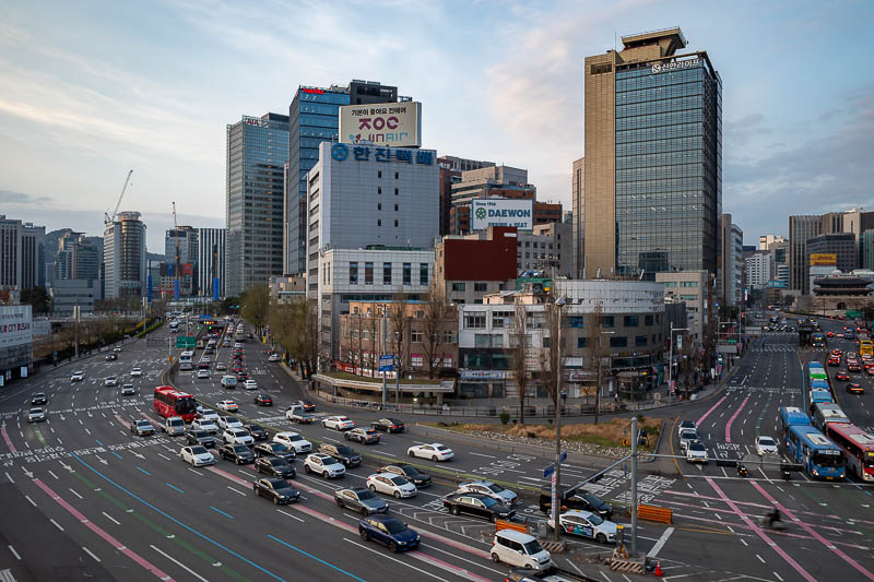
Great view in all directions.
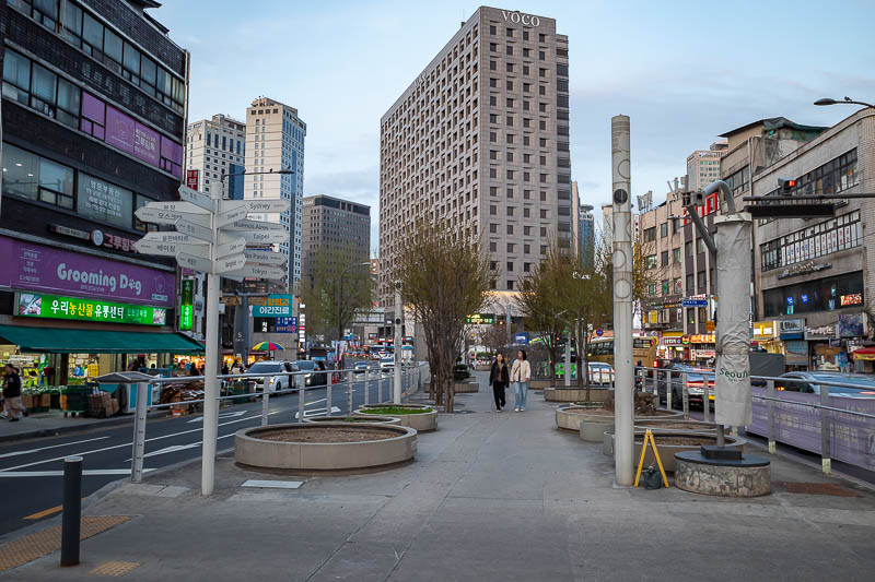
Eventually the elevated ex train line becomes a street level ex train line, but you can still walk along it.
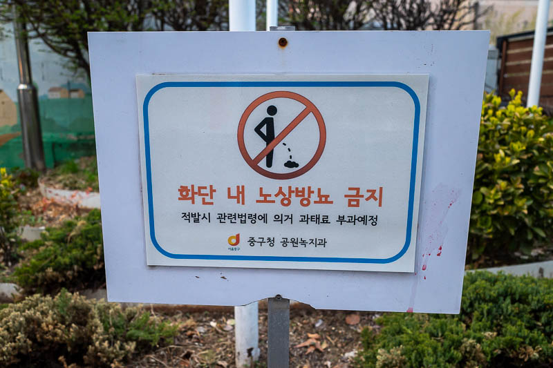
If you don't want me to piss in it, why have a garden?
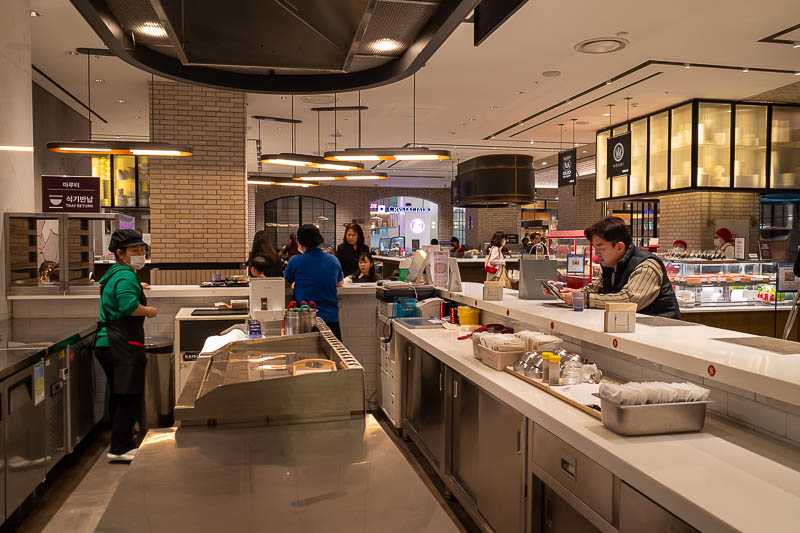
Not too many photos tonight, so a bonus shot while I wait for my dinner. This is the Shinsegae department store fancy food court basement. I like to sit at the bar.
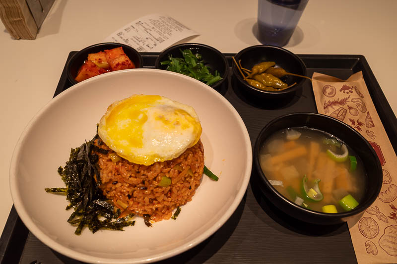
My dinner, under strange lighting conditions, is kimchi fried rice, very delicious.
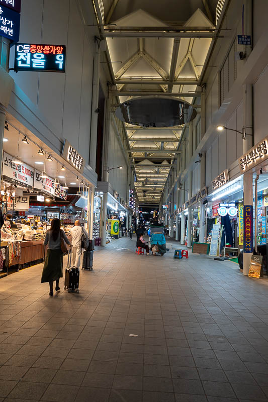
And finally, the surprise roof, at closing time. I suspect some people do not like that the market has been gentrified for tourists. It is a huge clothing market selling very poor quality cheap clothing, much of it in army colours. Most of the market still looks the same, and still looks like a fire hazard, just this central avenue has a roof.
Tomorrow, not a hiking day. I may not even go to a fortress or a tomb for a quasi hike. I have no plan.
There are currently 1 comments - click to add
山雪 on 2026-04-01 said:
辣椒 有 多 辣?
Anyangcheon cherry blossoms
Many people travel half way around the world to see some blossoms in a tree that are probably very similar to those that appear on the street they live on or in a nearby park, I am not one of those people. I prefer dead leaves to blossoms.
However today was my designated rest day, with a wonderfully polluted clear blue sky. My phone news feed told me today was peak forecast for blossoms in Seoul, so I decided to click the clickbait and go to the list of top viewing spots, complete with options to buy tickets. Presumably the ticket buys you a map to the location of the flood control drain where the blossoms are located.
So I went and saw blossoms, all 8km of them in a double sided blossom tunnel. I did not remove my shoes to walk in red clay. I will see more red clay walks later in this trip, which I have also seen before too.
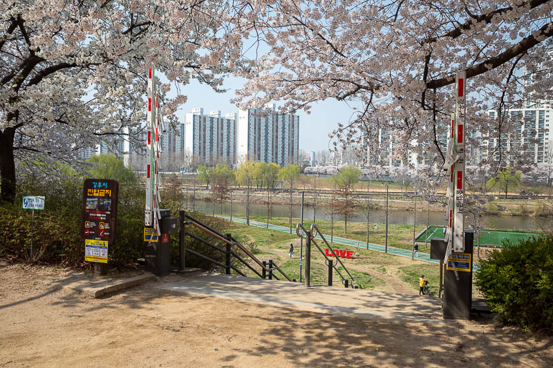
Straight to the blossoms. It is a Thursday morning, but as you can see here they have crowd control measures to avoid people getting crushed in blossom hysteria. No crowd control needed today.
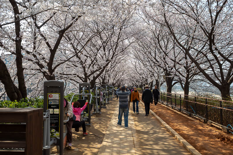
Behold, the tunnel of excitement, and old people exercise equipment.
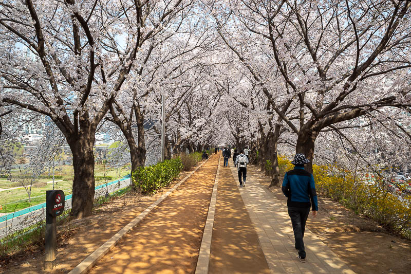
On the left here is the red clay barefoot walking bit. There are lots of them along here. There are signs asking you not to walk in it with shoes on.
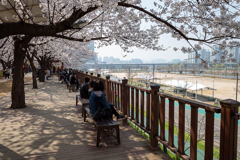
Lots of unemployed people are sitting under the blossoms enjoying the drain view.
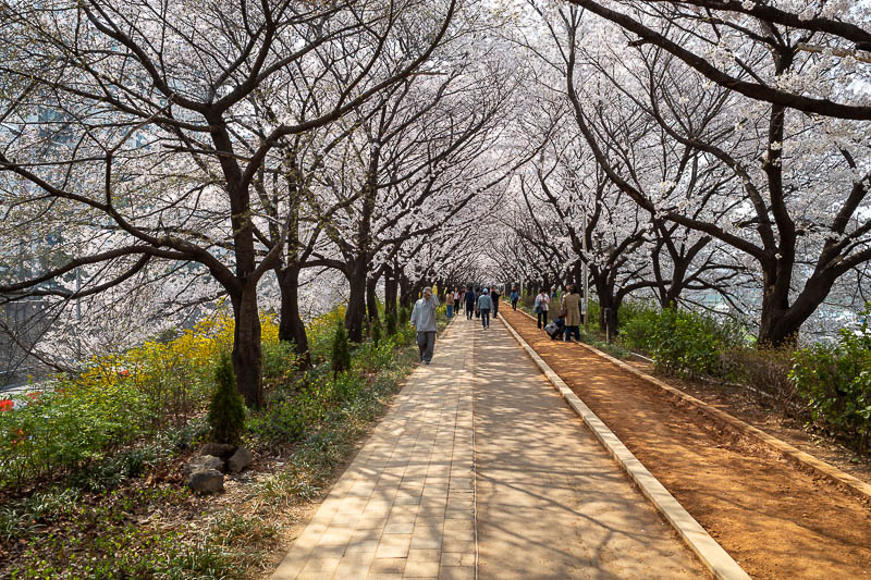
To be fair, it is probably the longest blossom tunnel I have ever seen.
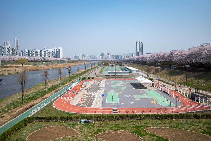
Notice there are blossoms on both sides. It goes right around the corner in the far distance of the river in this photo.
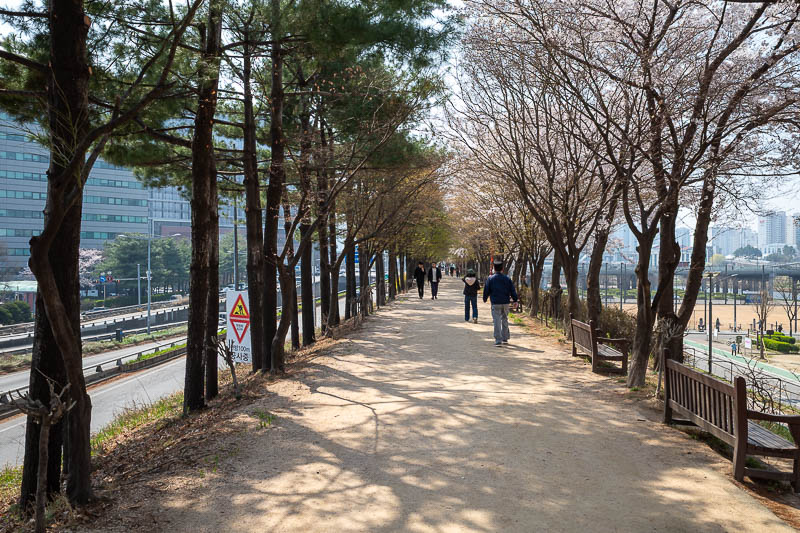
Every now and then, there is a section of blossom free trees. What even is the point of trees without blossoms? Bulldoze them immediately.
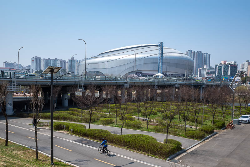
Nearby is the skydome, I do not know what sort of things go on under the dome. Maybe it's a megachurch.
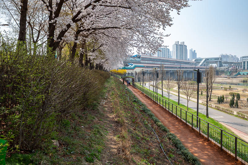
Last blossom and red clay shot. That is a train station mounted over the river in the distance.
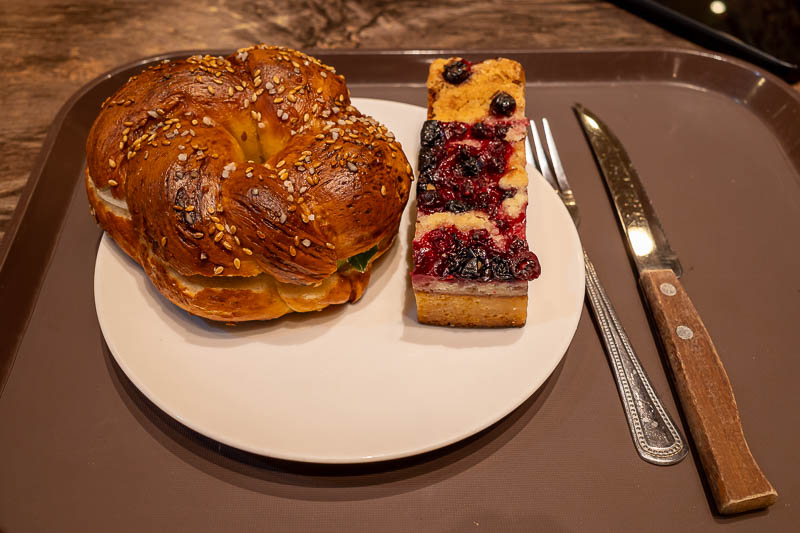
Lunch today was from a bakery. They had sold out of most of the normal sandwiches so I ended up with a cream cheese bagel and a small cake. It was very nice, they had somewhere to sit, and it was cheap too.
Not many photos today, but lots of blossom shots.
Namsan tower and Itaewon
Could this be my only visit on this trip to the famous Namsan tower? Possibly. At the end of the trip when I return to Seoul I will be on the other side of the river and probably won't venture much back over to this side. Normally I visit 2 or 3 times, take the same photos, make phallic references, talk shit about people who take the cable car up, all the usual things. I won't do that tonight.
After hanging around looking at the view, I descended down the far side through the hiking trail area of Namsan park (forgot to take a photo), and then headed into Itaewon. The streets are very steep in this area, which was where the Halloween crush tragedy occurred days before I arrived here on a previous trip. I avoided that specific area today. Most of the main street is full of bars and so instead of getting drunk I headed back down to the subway. So that was a boring update, without any jokes only I understand or inappropriate observations.
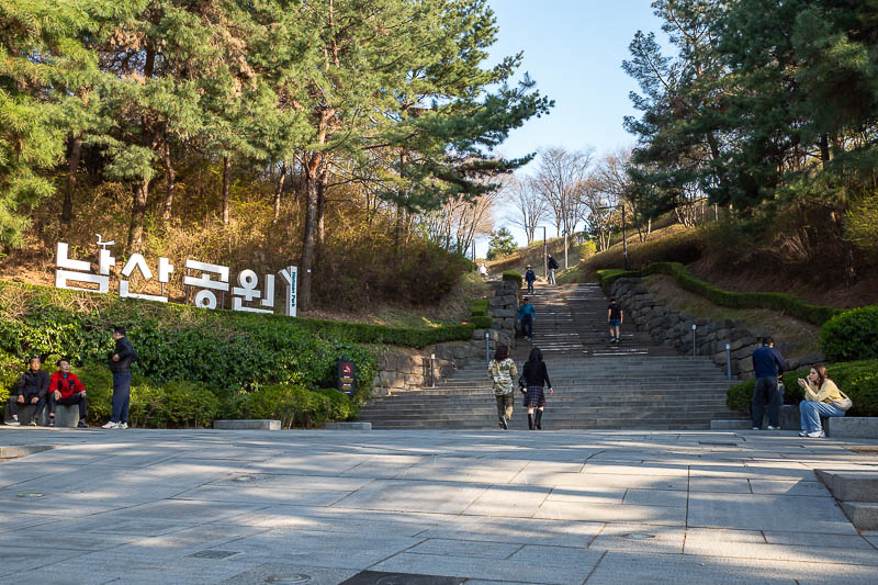
Tonight I will start my walk up to the tower area via the path where the old part of the wall is. Often I come down this way.
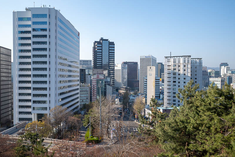
The view gets good early on.
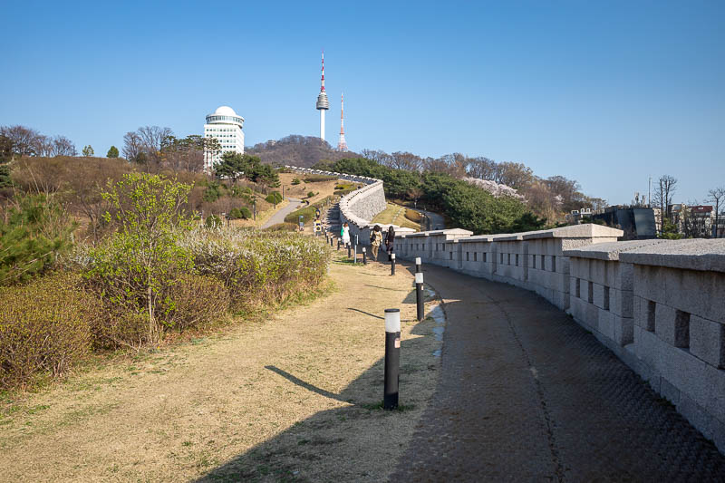
The wall actually descends down into the city behind where I am standing, but it is newly re-created.
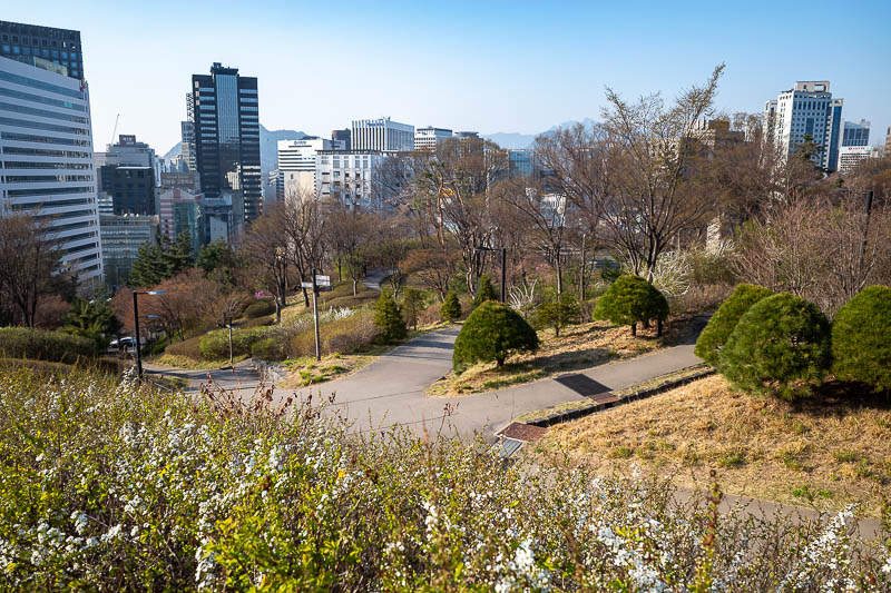
Nice gardens surround the area.
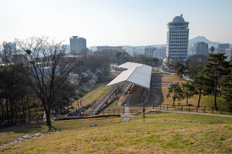
Under that shed is parts of the old wall. I think they used to close this and restrict access at different times, it appears to be wide open now.
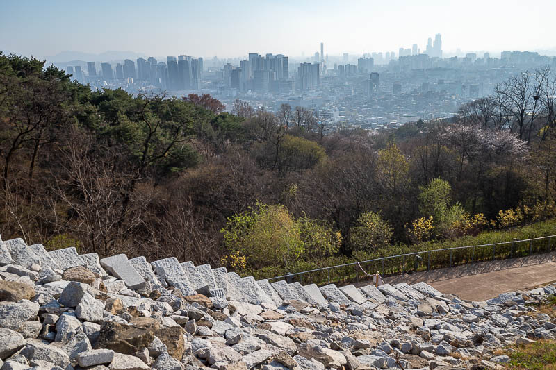
Here is the old wall, or possibly building rubble. Check out the pollution.
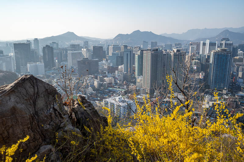
Down there somewhere is where I am staying, and also the nearby Myeongdong that most people associate with Seoul.
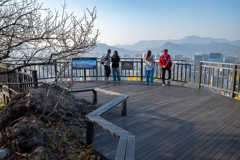
There are numerous places to take in the view.
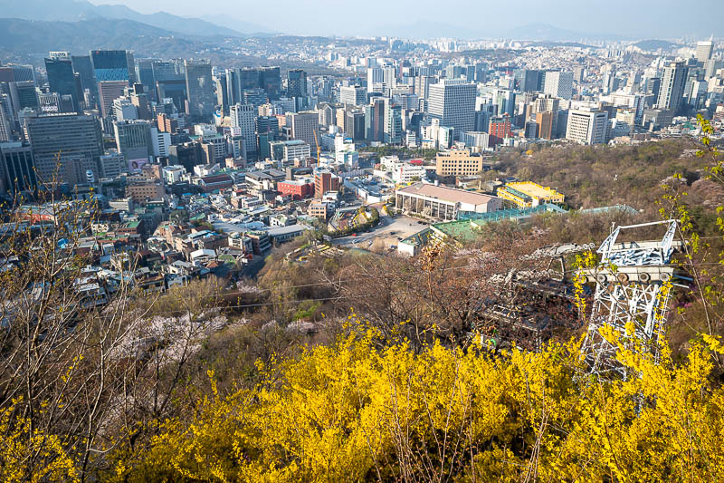
I tried to get a shot of the cable cars passing each other, but the yellow flowers and pylons got in the way.
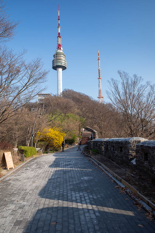
It does not take too long to get up to the top, maybe 20 minutes if you don't stop.
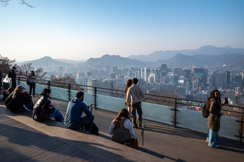
I have taken the shot of this view so many times now.
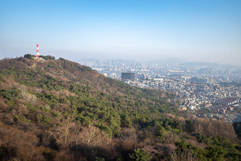
It is unclear to me if you can walk over to that tower, the map shows no trail. Maybe next time I shall try it.
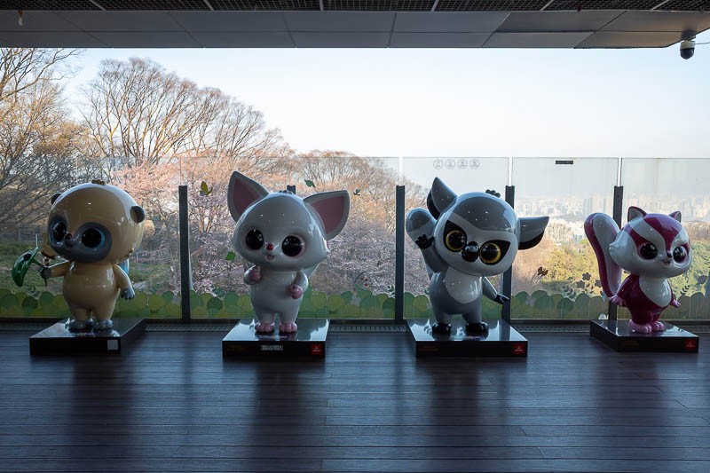
Run.
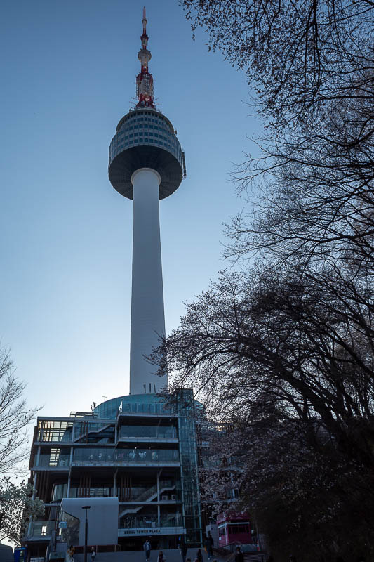
Time to head down the far side.
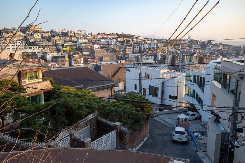
Itaewon is where a lot of westerners live. Hence the old style western housing from when there was an army base nearby.
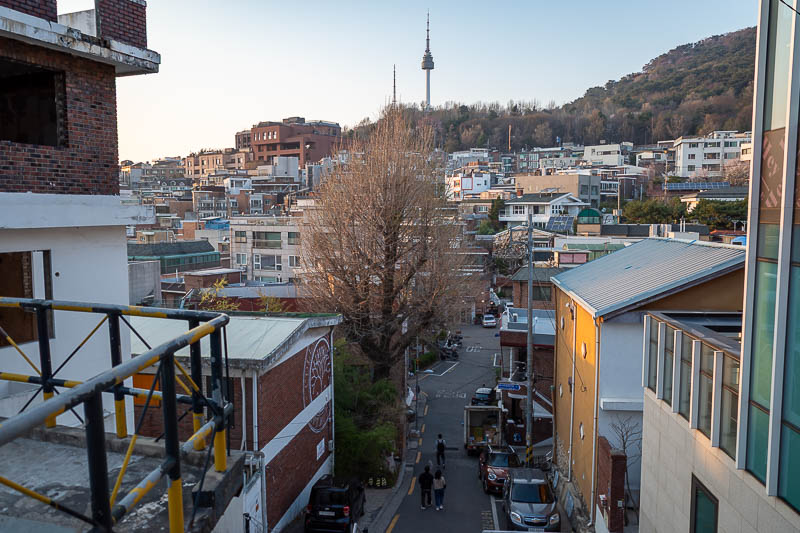
All the streets are steep.
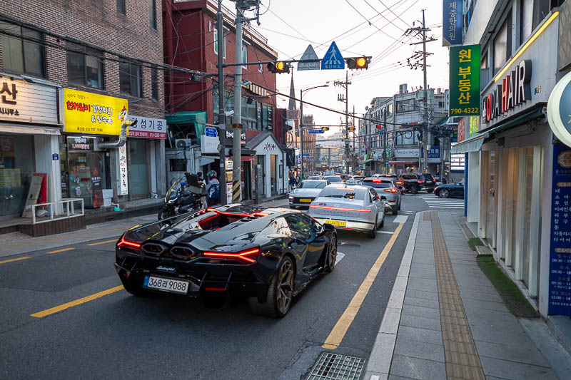
It does look a bit different to the rest of Seoul.
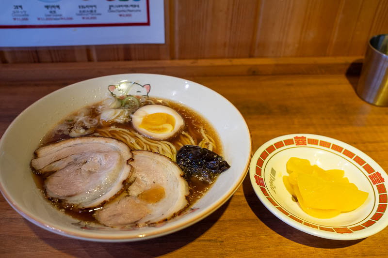
Ramen time. Strange lighting. Alarmingly I was the only customer the entire time I was there.
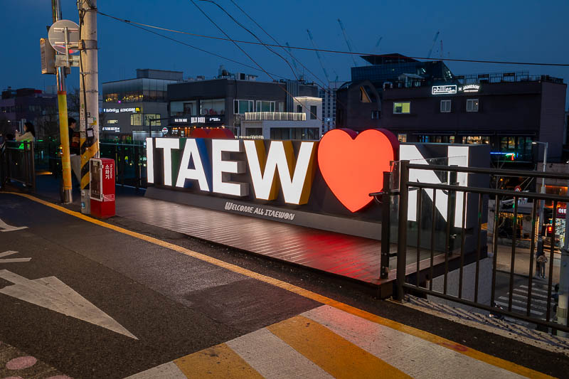
Hmm, the streets are nice, but after dark it turns into drunken fools, so I am not sure if I heart Itaewon or not.
Tomorrow is a big hiking day, I will be back late.
There are currently 1 comments - click to add
Adriana on 2026-04-02 said:
Yum ramen
There are currently 3 comments - click to add
David on 2026-03-31 said:
No, it's the Korean clone of Coco
jenny on 2026-03-31 said:
So is abiko curry in Japan too then. I would like some tofu curry.
mother on 2026-03-31 said:
Aviation museum certainly well worth a visit.