From Okutama station to Mount Gozenyama to Lake Okutama
Dont let the above title fool you. Today was an excellent hike. Lots and lots of photos so I wont type too much here. I say than often then type a huge amount, lets see.
Last year I ran a lap of Lake Okutama after walking along the trail over looking the gorge from Okutama station. As a sidenote, if you are looking for the station in Hyperdia, its Oku-tama.
My lap of the lake was a fantastic day with great photos, you can find it by using the search at the top of the page.
Today I started again from Okutama station, and walked up over the mountains, most notably Mount Gozenyama, and then descended down to the lake.
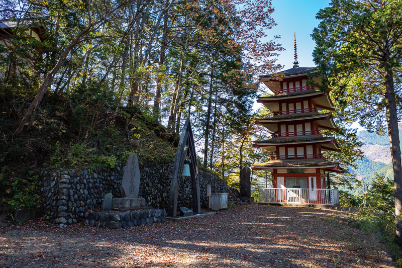
To explain the title, the first half of the hike was noisy for a few reasons, a political rally was being staged in Okutama town with the loud speaker trucks, a school sports day was happening with loud speakers, huge helicopters were moving stuff up to a mountain somewhere, and someone was ringing a huge bell.
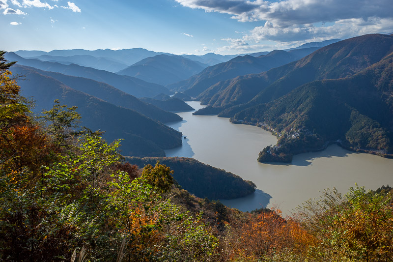
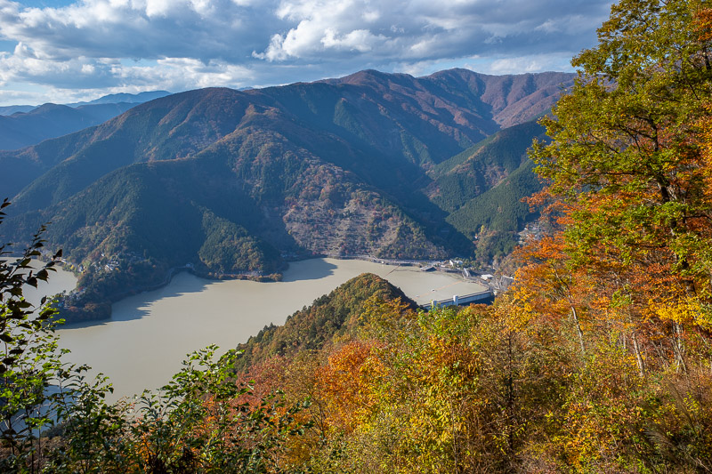
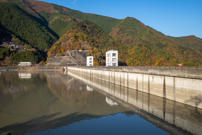
The dam dirty part of the hike was Lake Okutama itself. Last time I was here it was a beautiful blue color, today it was brown. My research suggests this is still because of the big Typhoon that happened nearly a month ago now.
See, that wasnt too long? Onto the pics!
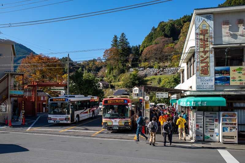
Okutama is the kicking off point for many hikes. It is very likely one of my two remaining hikes will also start from here.
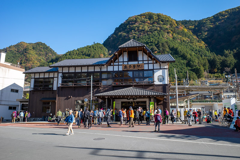
Today I got the holiday special liner, which is a direct train from Shinjuku that splits in half, half goes up the Ome line to Okutama, half goes to Musashi-Itsukaichi. Make sure you are on the right half! The carriages say where they are going to on the outside, but theres no way to know on the inside.
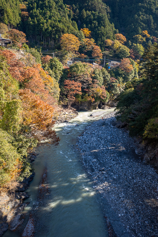
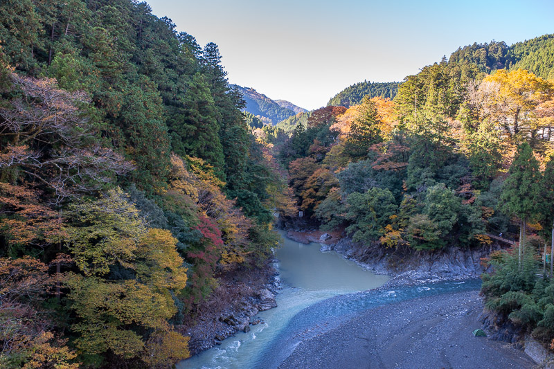
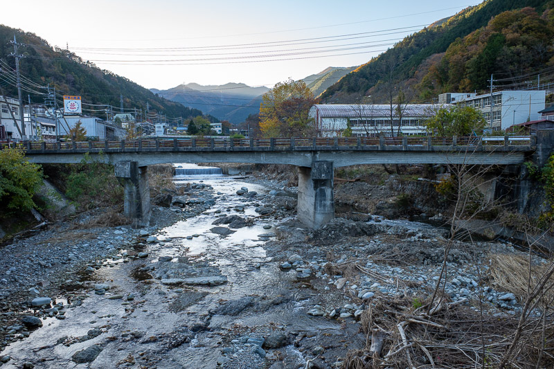
I took a couple of gorge shots before I set off. The light was not great at this time of day. Check out last years visit instead!
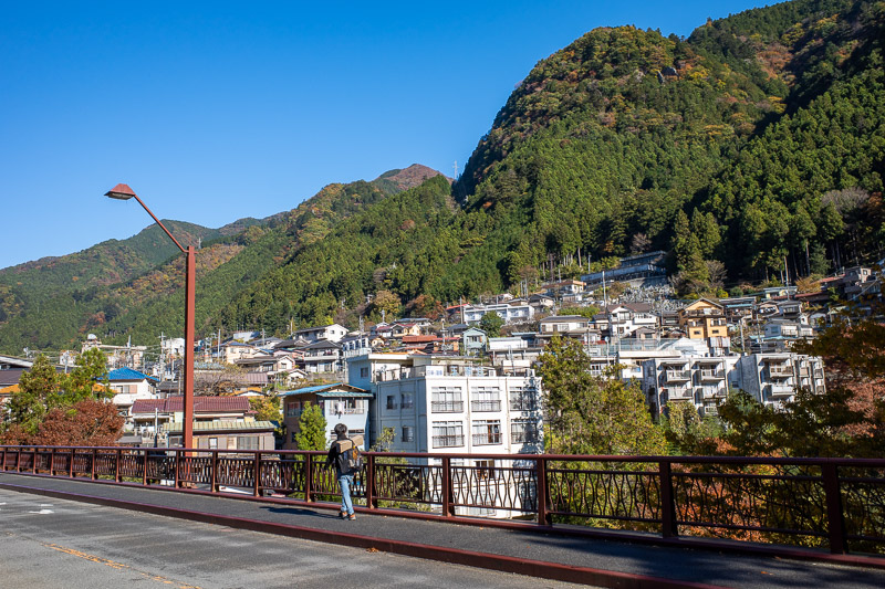
And here is a view of the little town of Okutama going up the hill. It is a very busy place, lots of hiking shops, 2 convenience stores. Lets get hiking!
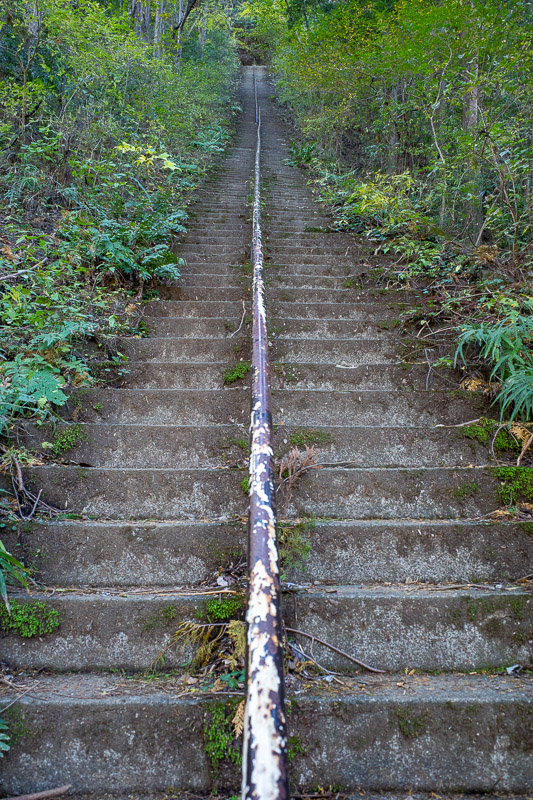
Soon after the hike starts, a huge steep staircase. Look how it gets steeper the further up it goes. Unexpected!
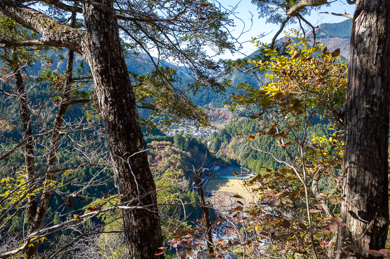
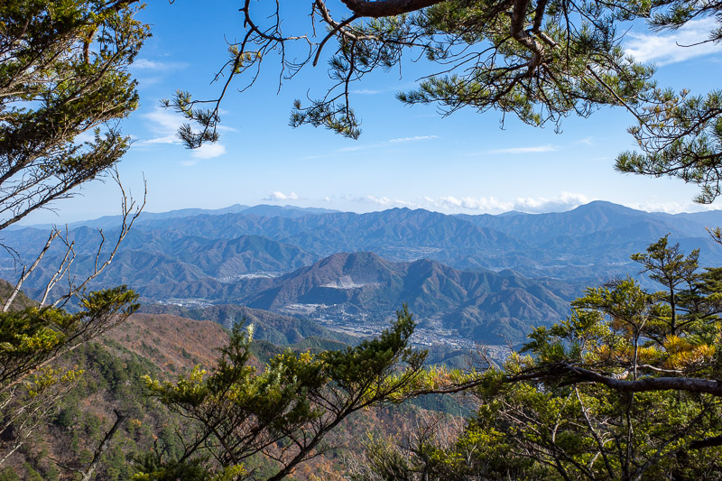
This is the best view through the trees I could find. The loudspeakers from the school sports day were hilariously loud. You can see the sports field below.
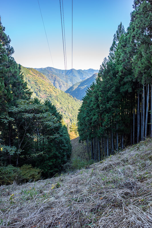
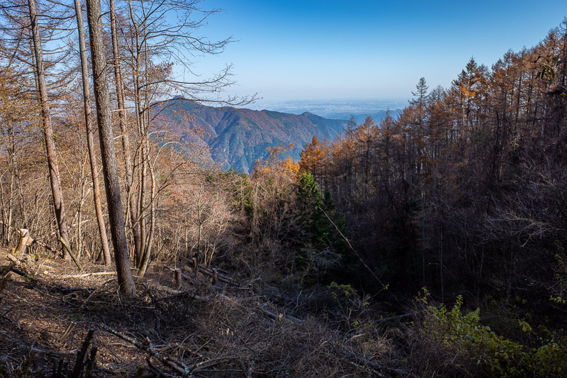
There were trees nearly all day today, logging provided most views. Here is some logging due to power lines.
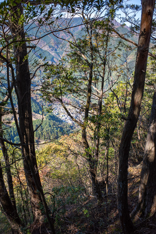
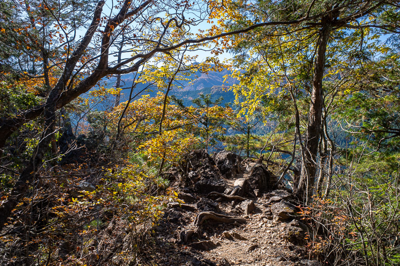
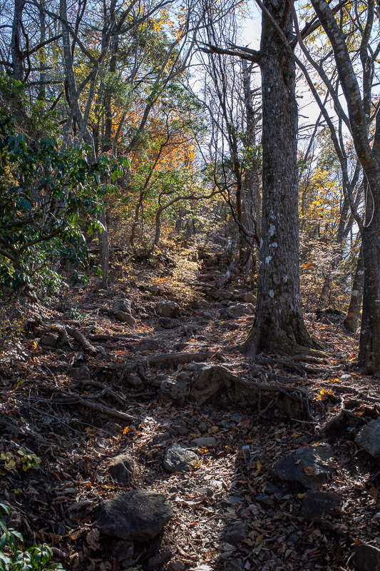
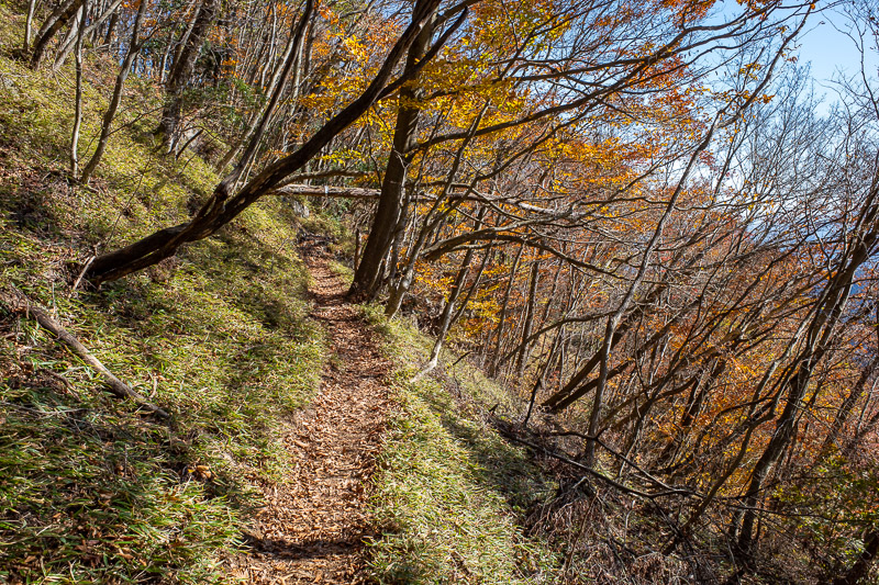
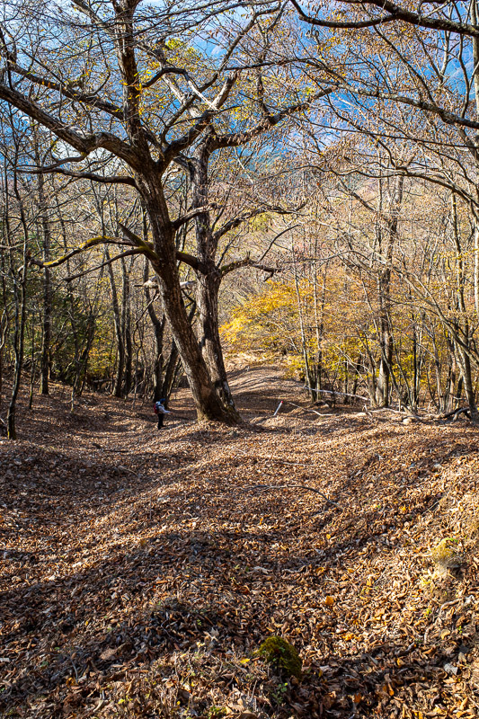
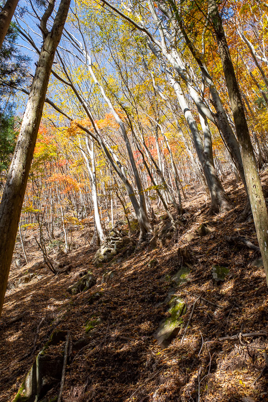
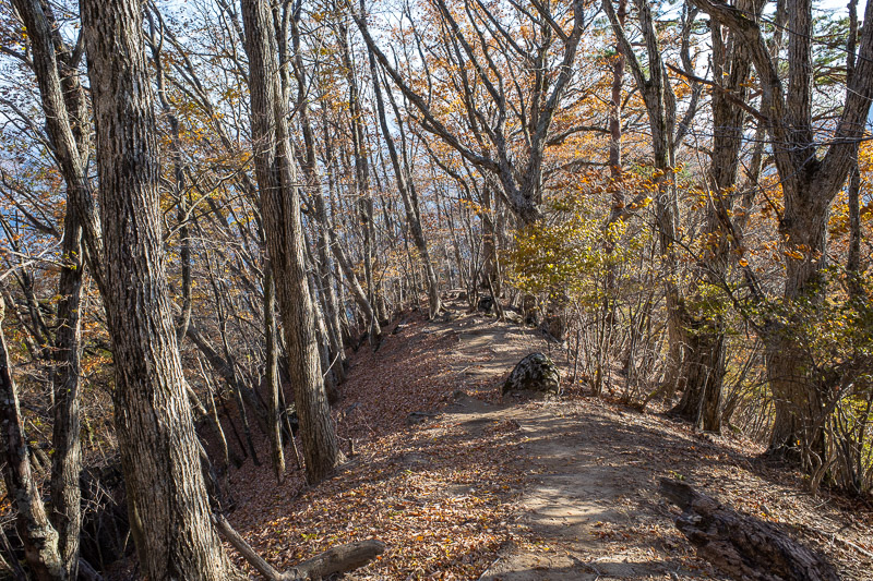
The first couple of hours up were quite tricky in places. Lots of rocks and tree trunks. Also quite colorful.
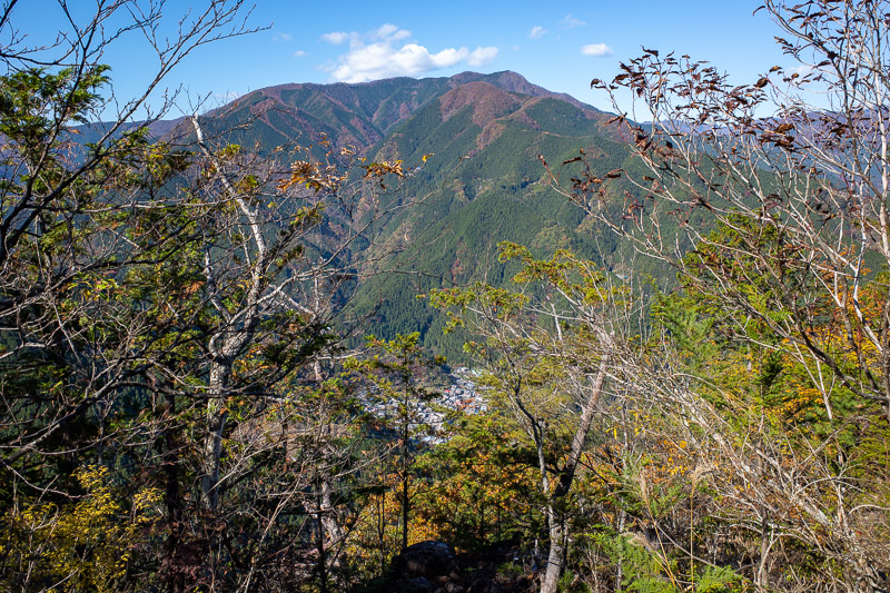
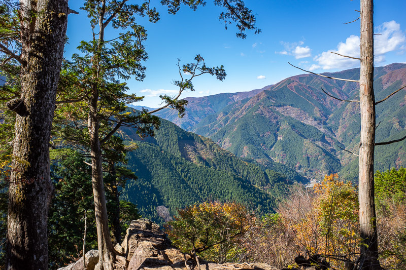
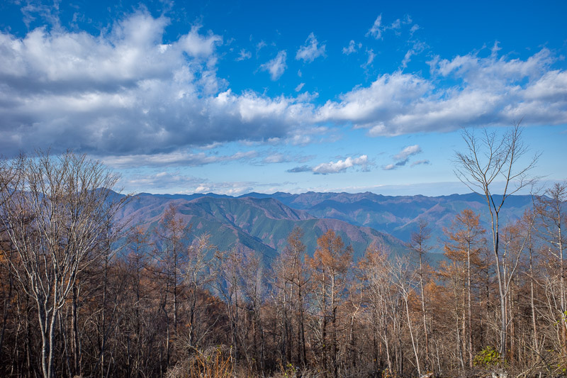
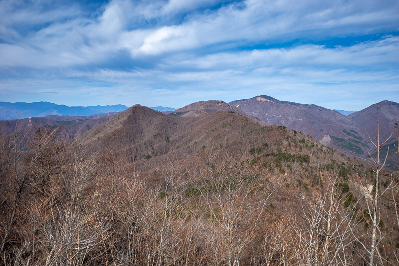
A nice view across the valley. I have climbed that mountain last year! Mount Kawanori I think, that was a great hike.
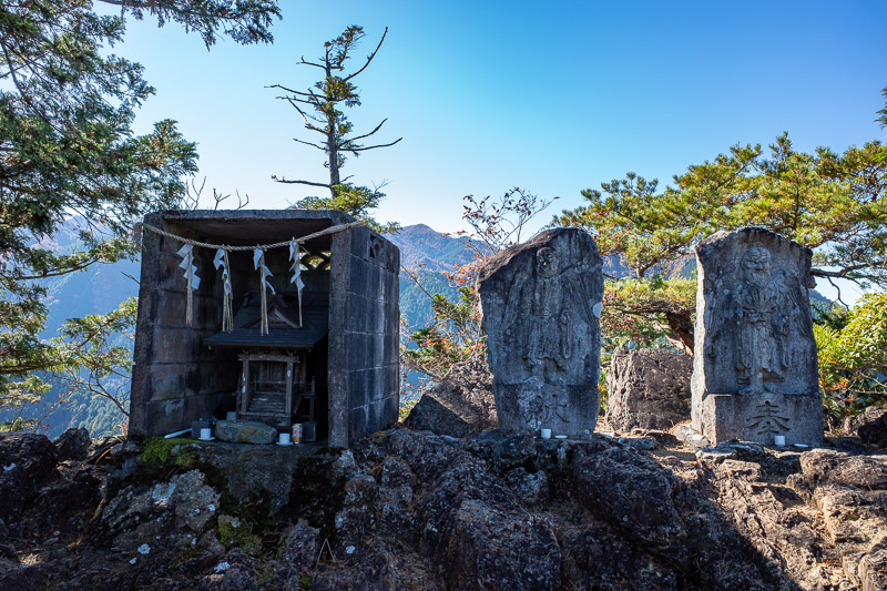
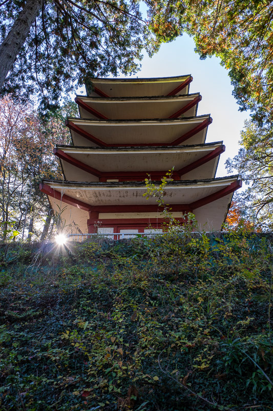
As there often is, there were a few makeshift shrine areas. Makeshift is probably not the right word.
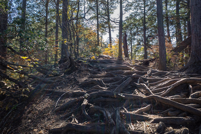
Here are some of the tree roots. These combined with jagged rocks and often covered in leaves meant it was slow going at times.
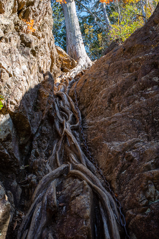
Then there were the sections of ladders and chains! Nothing too dangerous, this is probably the longest chain.
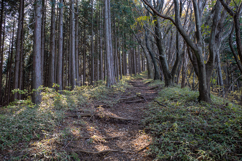
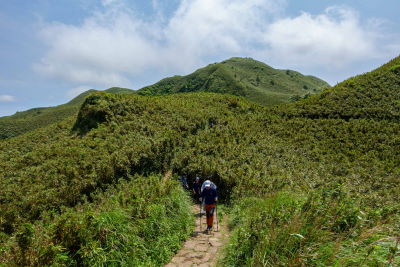
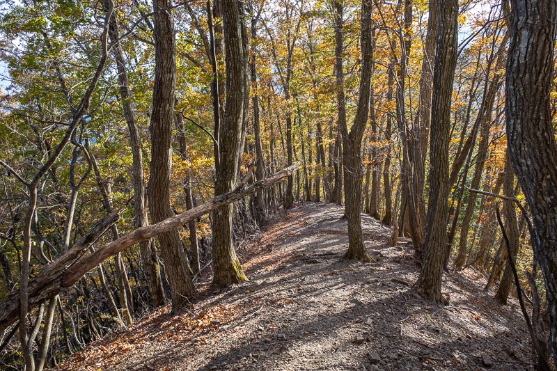
By now I had passed over a peak with a few people on it, and was now on a lonely trail between peaks. It was quite flat most of the time.
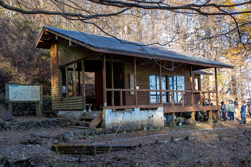
Here is the emergency shelter. Todays hike had many paths that joined the ridge line from different starting points. This hut is the top of the most popular starting point, my hike was significantly longer, of course.
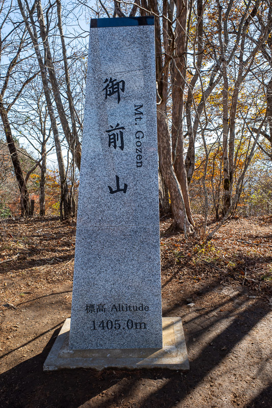
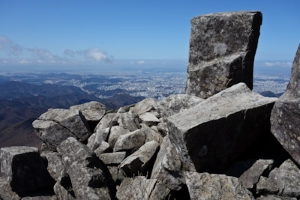
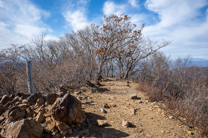
Summit! It is not that high, but due to going up and down a few times I somehow managed to do 1500m of climbing. More than Mount Zao, almost as much as Mount Bandai.
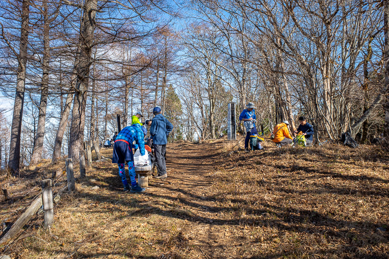
There were a few other people on the summit. They had mostly come from the lake. I think I was doing this sort of backwards, the first pic today was the bus, most people get off the train and sprint to the bus, get to the lake, then start their hike. I decided to end at the lake to avoid the rush.
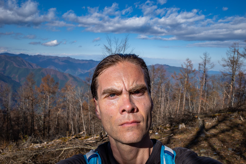
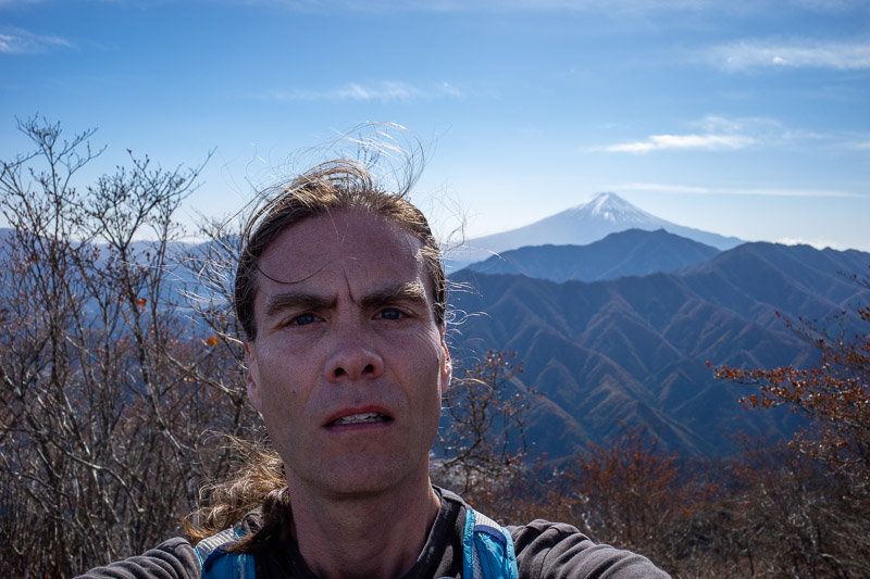
And this of course, my huge head, always a feature. Thats a tree behind my head that looks like an awesome hair failure.
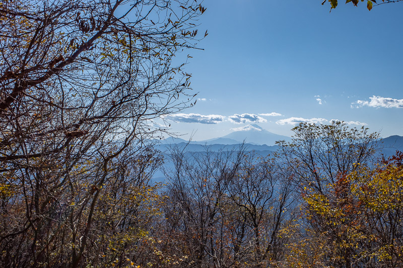
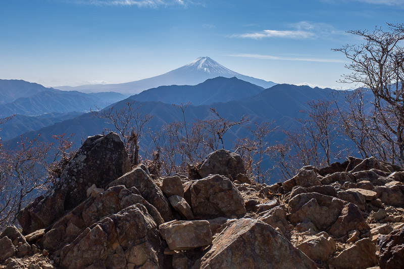
Here is Fuji. This is the one view you will get of it all day, so make the most of it. Looks like there is no snow on it currently.
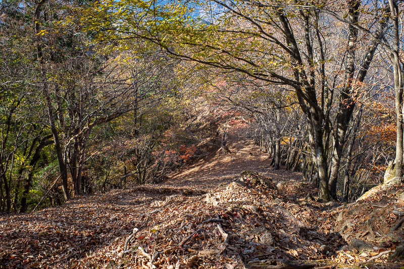
Here is some more steepness. The leaves made the footing very tricky. At times it was choose your own adventure.
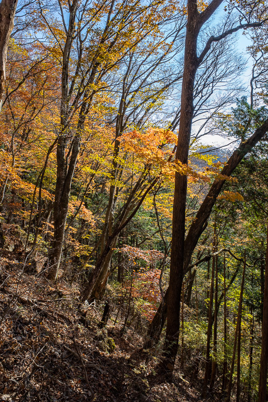
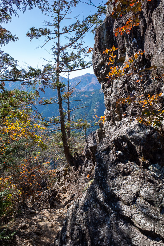
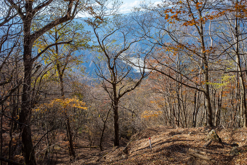
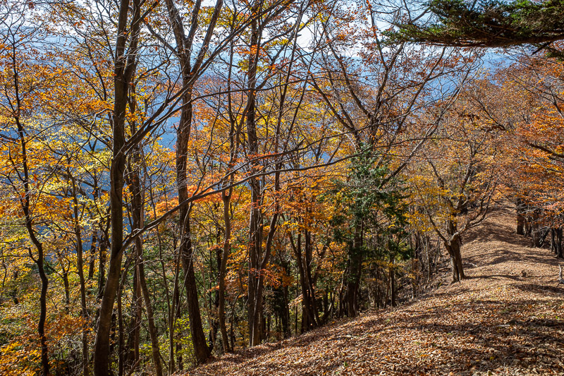
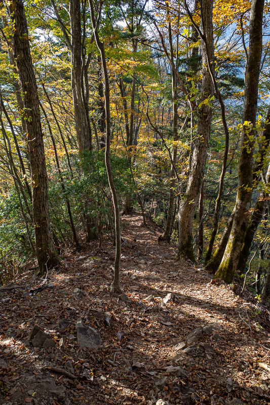
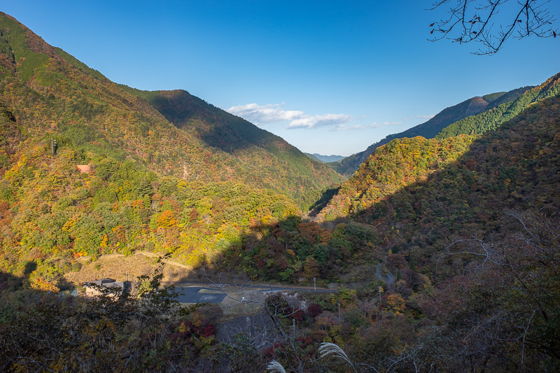
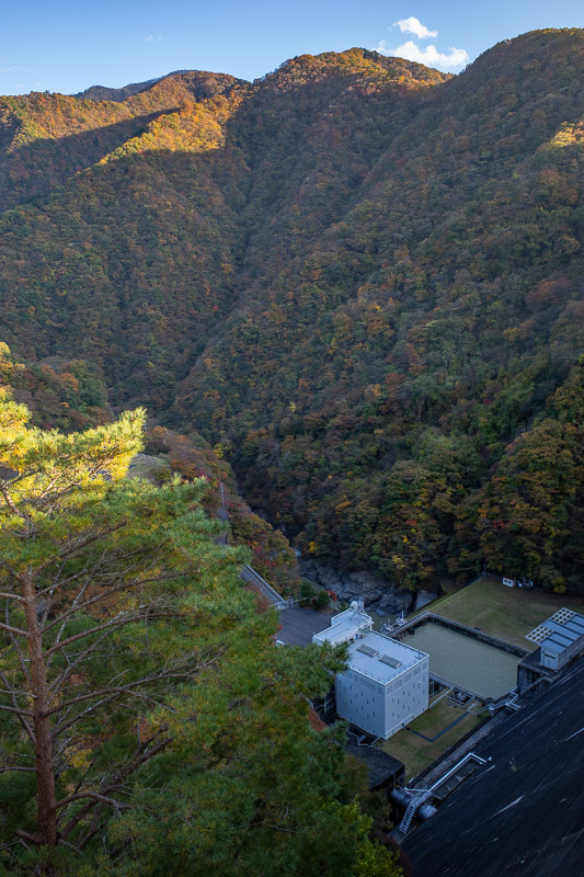
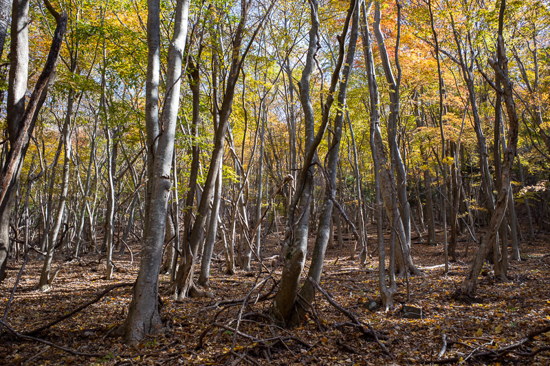
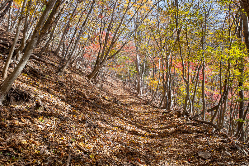
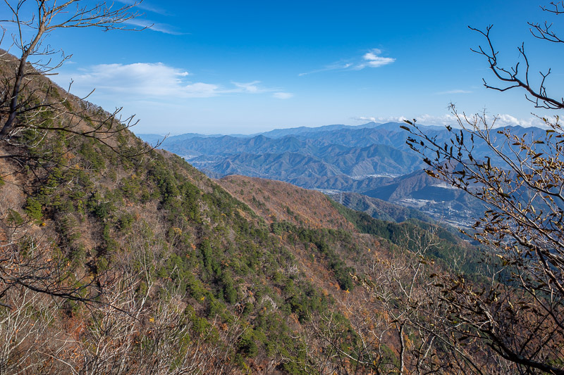
The descent was very colorful, and until I got very close to the dam, I only saw one other person. I thought it would be more popular on a Saturday.
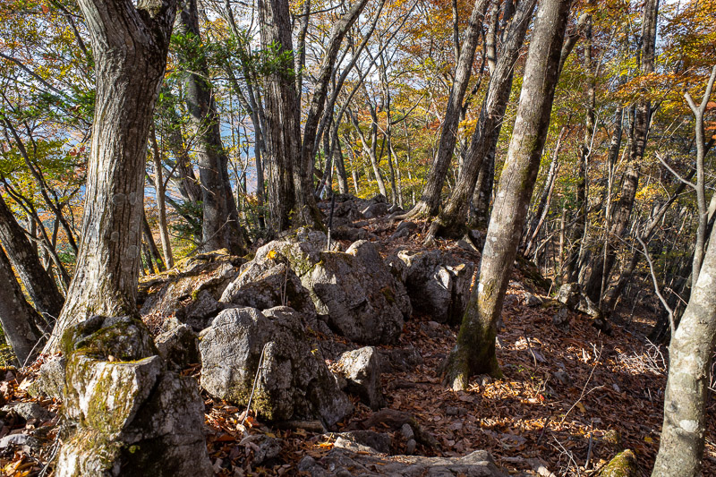
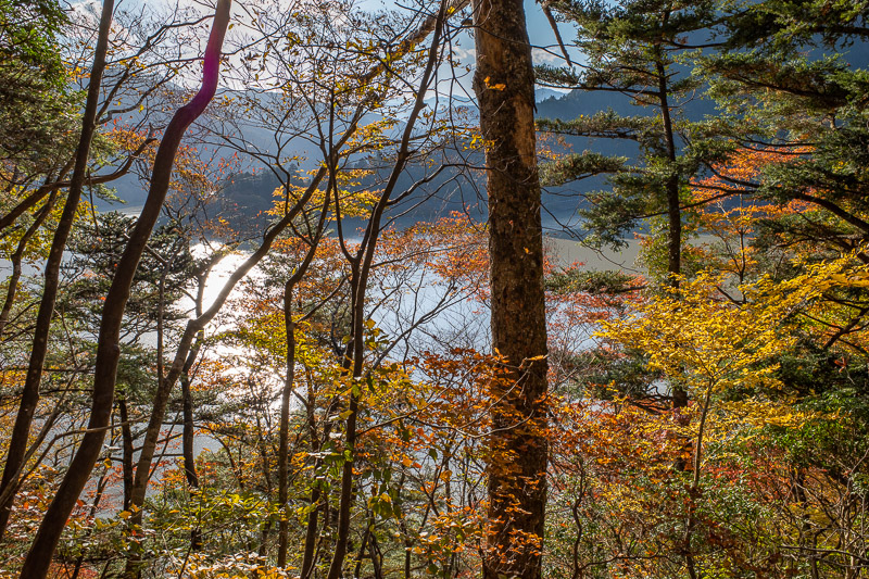
Rock and color. Clearly I am running out of things to say. I was starting to worry I would not get a view of the lake.
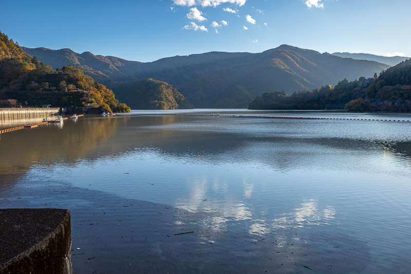
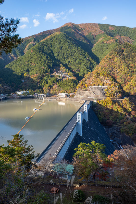
I had literally, just enough time to run around to a point where I would not be staring into the sun to take this shot, then I saw the bus, and sprinted, and made it on by seconds! Another great hike. Long. I wont be going very far tonight. Only 2 more hikes!
Koreatown in Shinjuku
If you have been watching the news lately, you will see that tensions between Japan and Korea (South) are very high. Japan seems to be getting on ok with the North strangely! This of course dates back to the comfort girl issue. There is now also a drama over an island no one really cares about which is surely just both sides genitalia measuring contest (saying penis in 2020 is considered sexist). I will just put the name of that island here for google to find, its called Dokdo in Korean and Takeshima in Japanese. Just to make that situation amusing, a Japanese university angered Chinese students the other day by allowing a Hong Kong demonstration to occur, which resulted in the Chinese students having a DOKDO ISLAND IS KOREAN protest at the same time. Thats enough politics, I have a point.....maybe.
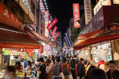
Tonight I went for a walk through Koreatown. My hotel is on the edge of it. I went there the very first time I came to Japan in 2010. It is much bigger now. It is one of the busiest places in Tokyo, with lots of signs telling people that due to congestion, pedestrians must keep walking at all times. So despite the political tensions, people from Tokyo still like to go buy filter snail face cream.
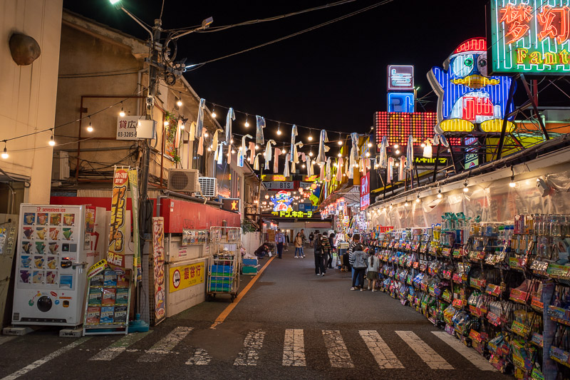
This is the strangest Don Quijote I have seen. Donki is like Daiso but things cost more than $2.80. For whatever unknown reason, this one exists across a few parking lots.
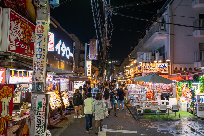
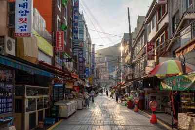
The alleyways to the main part of Koreatown are very authentic, most shops are selling face masks (make up not tear gas) and nothing else.
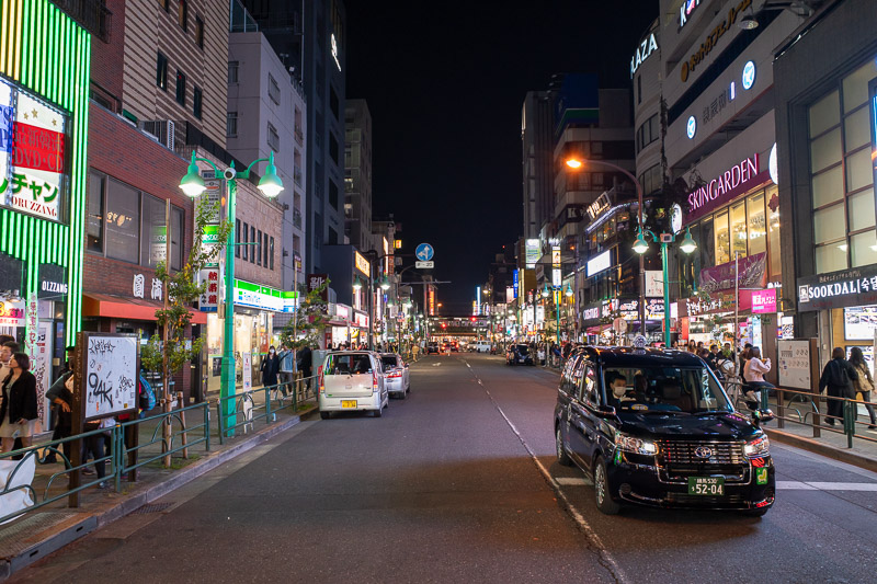
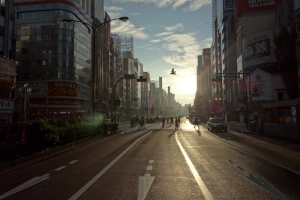
Here is the main street. The shots dont really make it look busy, I guess I timed my standing in the middle of the road with everyone behind me to make it look less busy. It was busy. Busy.
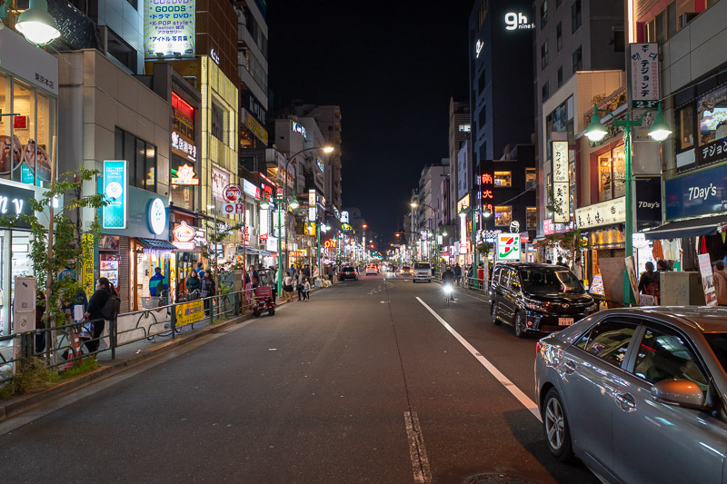
Bonus shot of Koreatown in the other direction. I think it has grown considerably in the last 10 years.
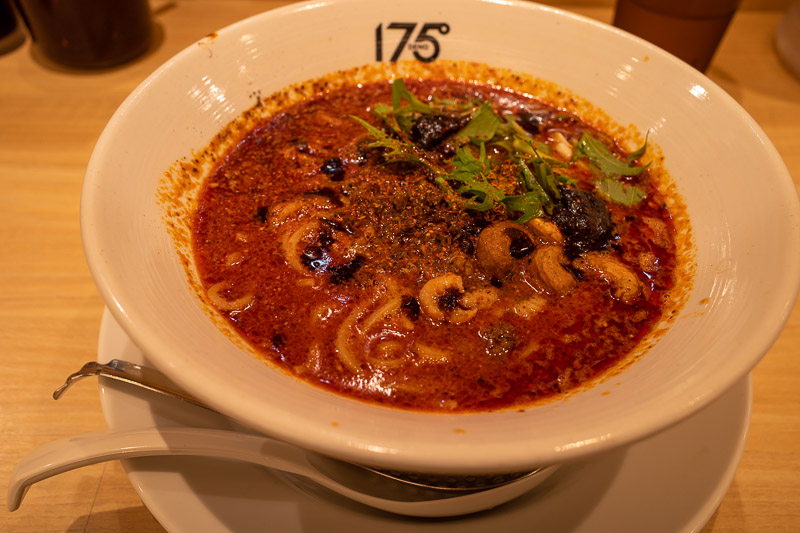
Sure I went to Koreatown, but all the Korean places were fried cheese coated chicken and had huge lines. So instead I had Sichuanese Japanese food in Koreanese. I really wanted something hot and spicy, and dan dan ramen is my new favourite thing.
Shinjuku Gyoen Garden and shopping in Shinjuku
I last went to Shinjuku Gyoen Garden in March 2012. It was a grey day, and everything in it was brown and dead. The place was almost deserted. The very first blossoms were appearing, and old women were excitedly standing patiently with their huge cameras watching flowers open in the rain. And yes I know Gyoen means garden, or imperial garden or emperors garden or divine heavenly imperial father garden. Generally I am more of a Koen guy (public garden), because Shinjuku Gyoen has an entry fee, 500 yen! Extortion.
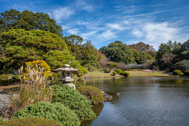
With all of that out the way, Shinjuku Gyoen was looking great today. Well worth the price of admission. A real example of past performance is not indicative of future results.
There were signs saying there were turtles, I could not find any. While hunting for turtles I managed to get in the way of countless peoples photos. Lots of Australians. Some of them were mad at me. Too bad. Now I am in your photos looking for turtles.
After experiencing the garden for at least 2 hours, I headed back into the heart of Shinjuku and gawked at my dream purchase in a guitar shop without daring to touch it. Fortunately they are impossible to buy in Australia currently.
The streets around Shinjuku are closed off to traffic on Sunday, even some of the main roads. However some traffic ignores this, and speeds down their in blinged out mini vans pumping j-pop sending people running in terror. Someone should arrest these idiots.
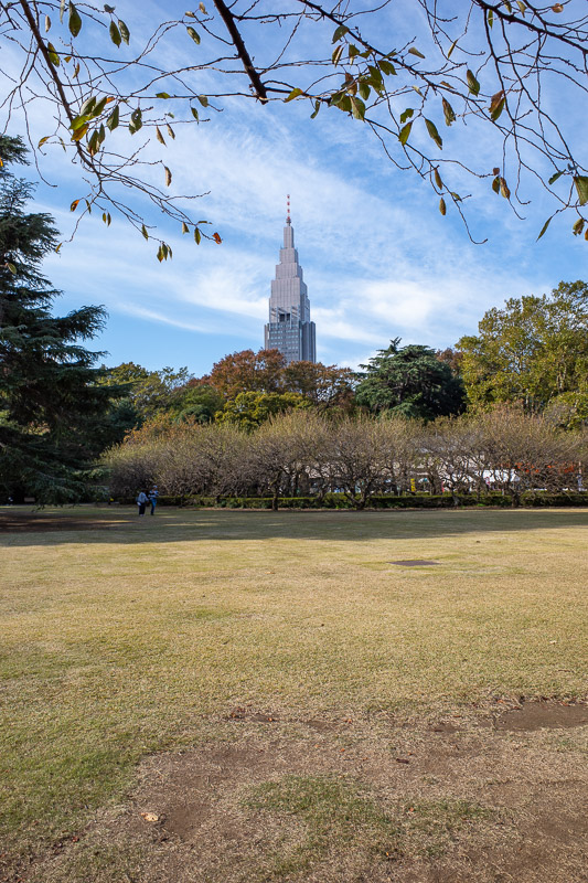
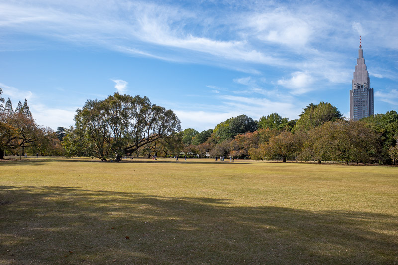
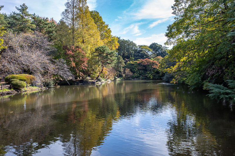
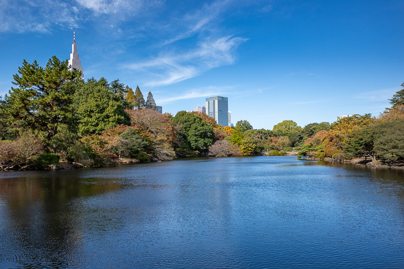
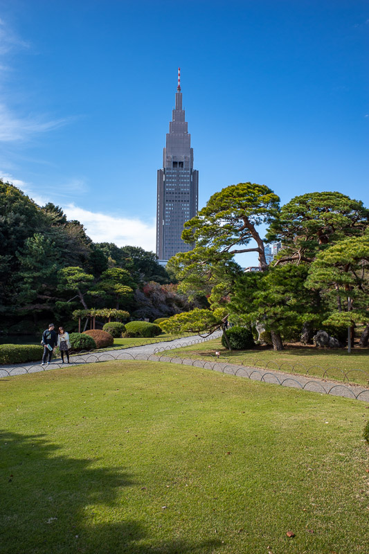
The light and weather was amazing today, perfect for garden photos, so I took a lot of them. Most of them will feature the massive GOTHAMIC DoCoMo tower.
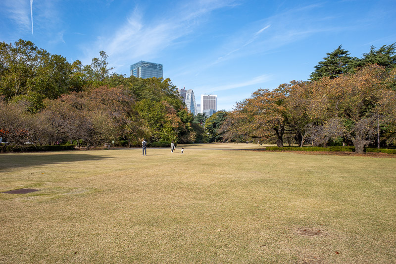
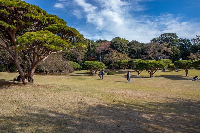
Lots of wide open spaces, it looks mostly like there were hardly any people, but thats because wherever I go, people flee in terror.
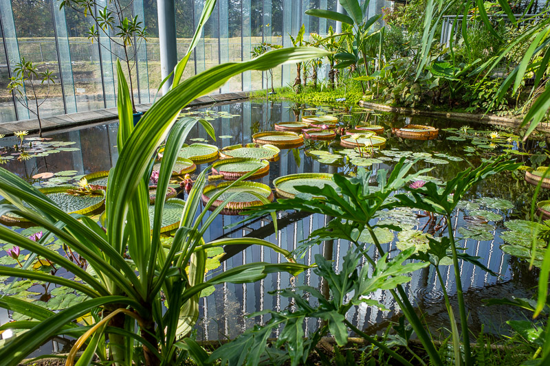
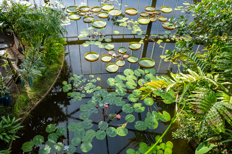
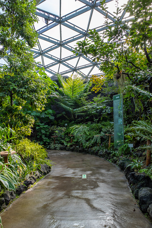
There is a hot house, it was already hot outside, I should have been wearing shorts. The hot house was sweat inducing. Nice lillipads though. Lillie pads? Lilypads? Lily pads? Lillypads? Who knows.
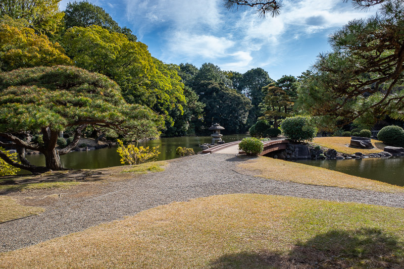
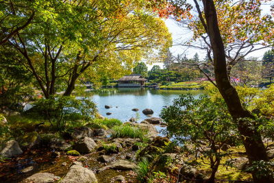
I thought I might find some turtles in these ponds. I did not. Also many parts of the garden are still closed due to the recent Typhoon. They are worried trees might still fall over.
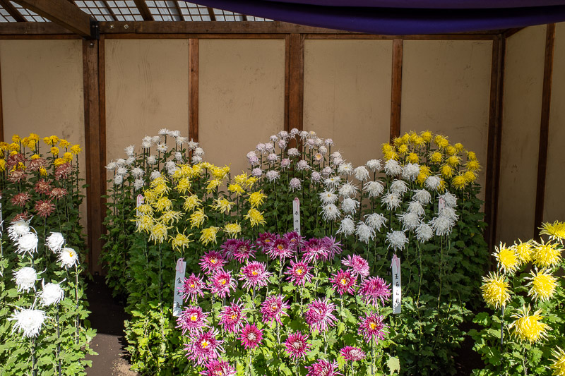
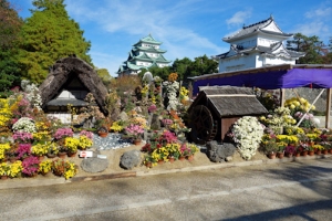
Heres another word I need to look up to be able to spell, Chrysanthemum. These are the winners. The official season ends today I think.
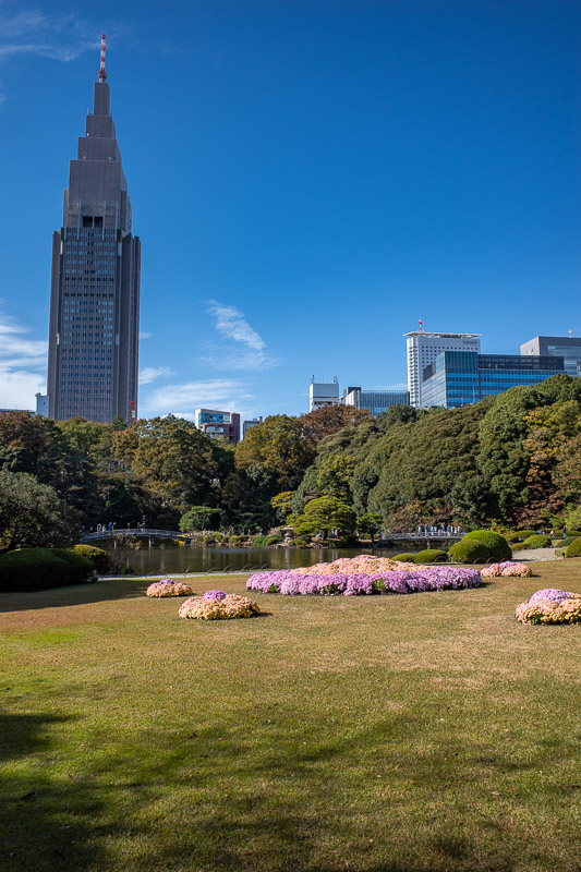
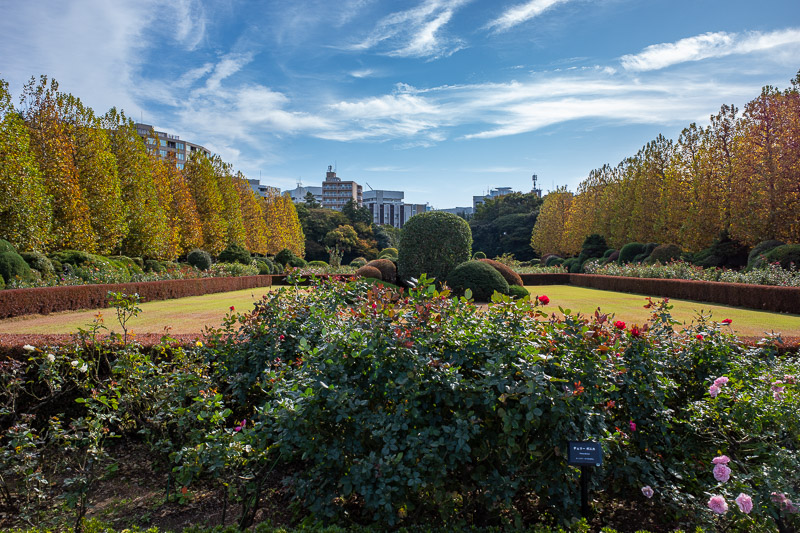
Last one. The flowers in the lawn on this photo are very bright, and confuse the white balance on my camera.
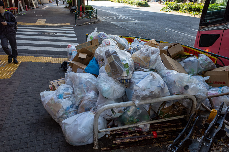
Every trip I have to take a photo of piles of rubbish. And at this juncture I will mention that when walking through Kabukicho this morning, everywhere smelt of urine, and then I saw a guy and a girl urinating together in broad daylight in the middle of the street in front of guys cleaning the streets.
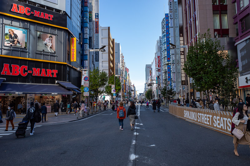
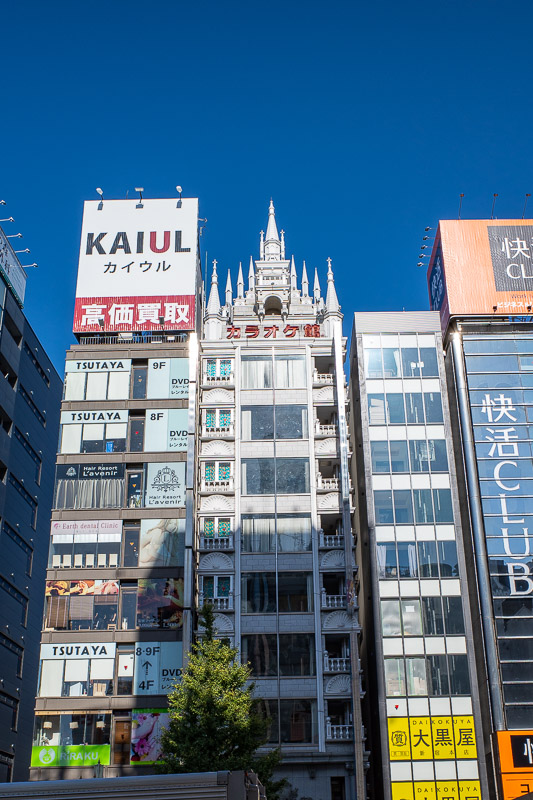
The closed streets of Shinjuku. Be careful here! Cars like to race up the closed streets for attention.
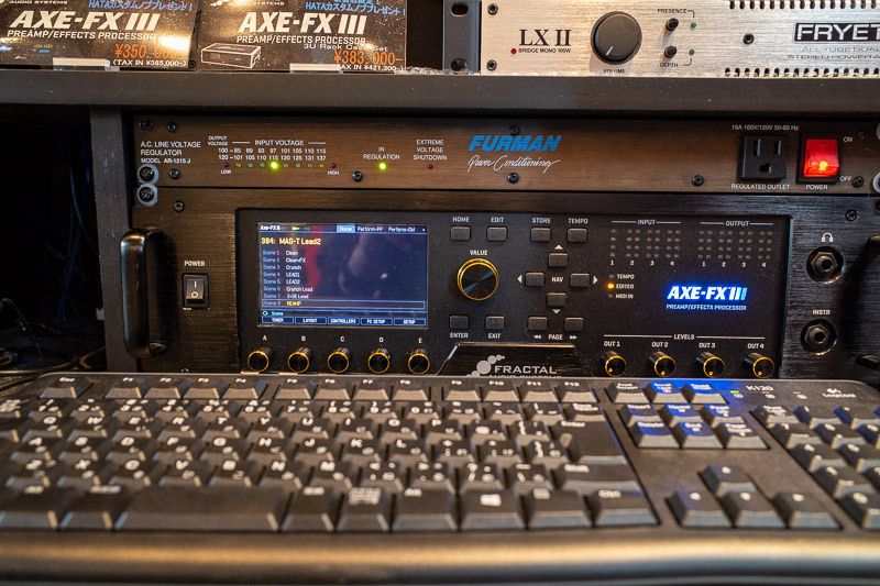
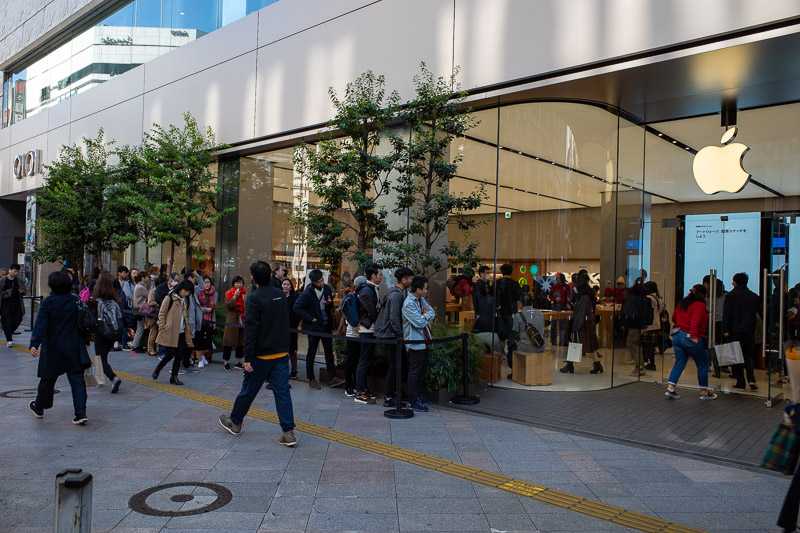
Here is my future $4000 purchase. If I could walk into a store and buy one, I probably would. But I cannot, there seems to be a year long waiting list, so I am safe.
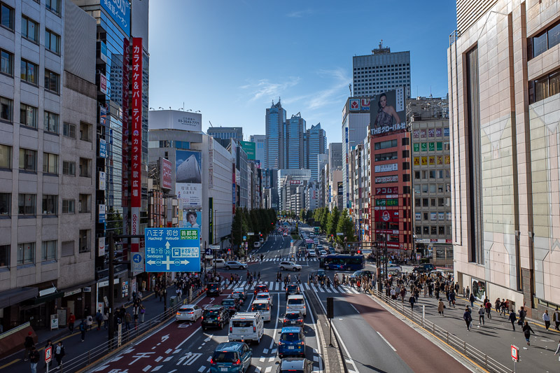
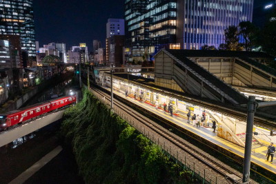
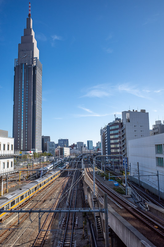
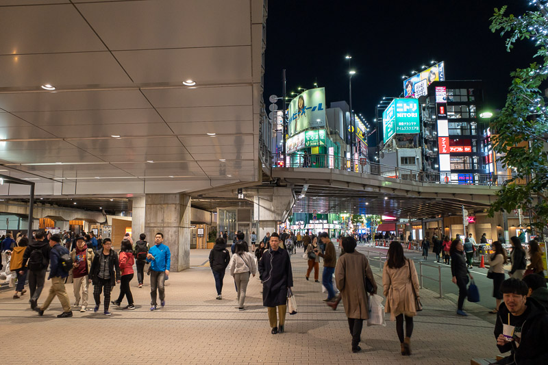
Final pic of the day, Shinjuku as seen from the station overpass. Nice weather! I wonder if it will remain nice for hiking tomorrow?
Dinner at Takashimaya in Shinjuku
My cheapness, also known as tightarseness knows no bounds. Tonight I paid $15 for a hamburger patty, tiny potato, corner off a carrot and joke piece of broccoli. It was not noodles or curry. Tomorrow night I will be having noodles or curry.
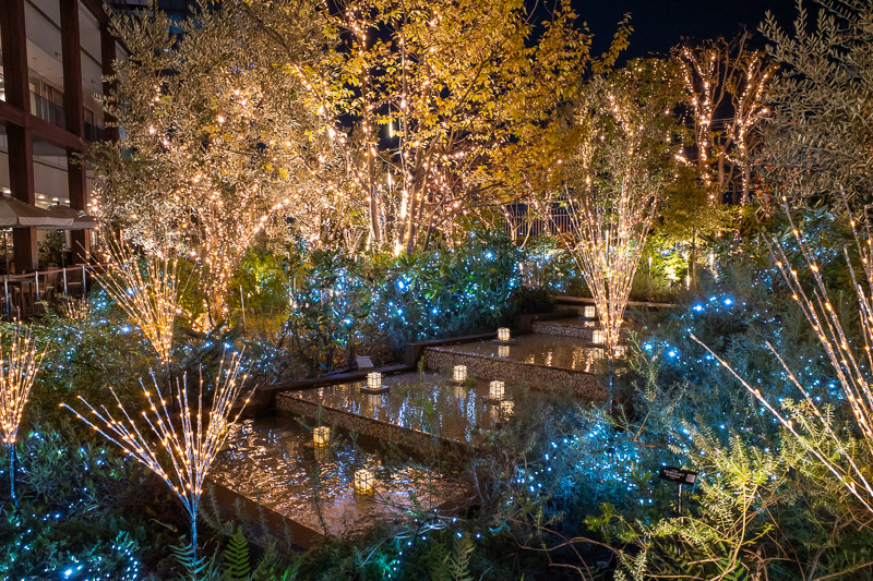
I set off in search of dinner, and got lost in the busy streets until I ended up on the other side of the freeway over pass at Takashimaya. They had turned on their rooftop garden illumination, so I hiked up 10 floors of escalators and enjoyed some LED's hanging in trees.
There are 3 floors of restaurants up there, most are noodles or curry. One is omurice. One is tongue. 3 are pasta. 2 are hamburg steak. I had not yet had hamburg steak so hamburg steak it was.
Sure it was nice, but it was a tiny meal that costs at least 1.5x the most expensive Ramen I have eaten so far. Now I am sitting here wondering if I should go and get a second dinner.
I have no time for that, have to get up early, must go to bed at 9pm!
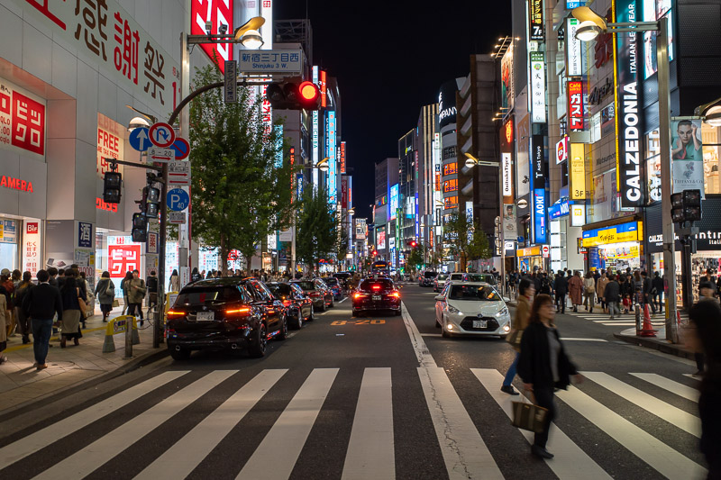
Street crossing time. Watch out for the environmentally catastrophic trucks and buses that drive around advertising pop stars. You hear about how Japan sorts their garbage, but you dont hear about how they drive thousands of advertising heavy vehicles around blasting music and flashing lights at people.
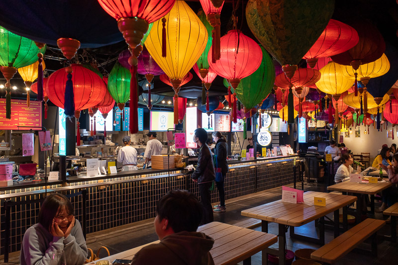
Under the freeway overpass, a food park / food truck / hawker stand has 'popped out'. I thought it might be a good spot for dinner, but it was all expensive tapas size serves. Including a lot of French flys.
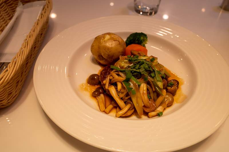
Tiny hamburger patty. I chose Japanese style sauce rather than demiglaze sauce. It involves mushrooms.
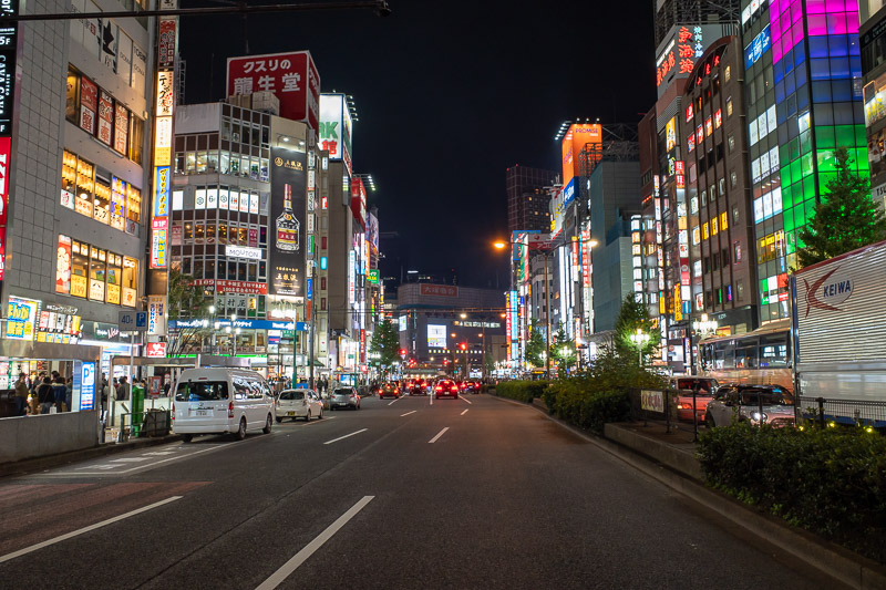
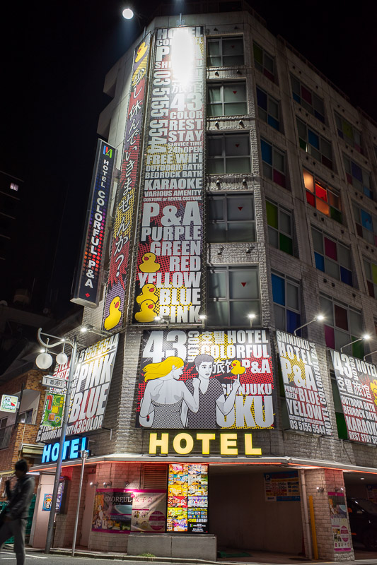
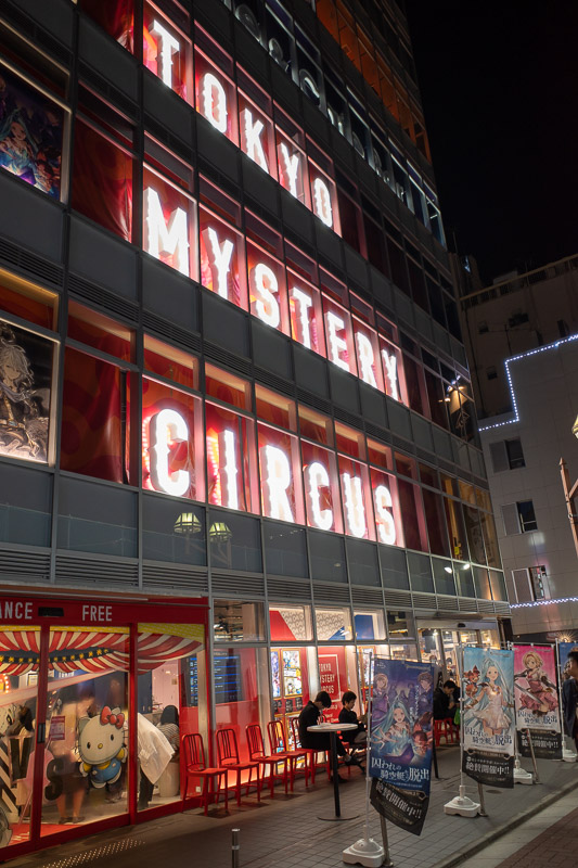
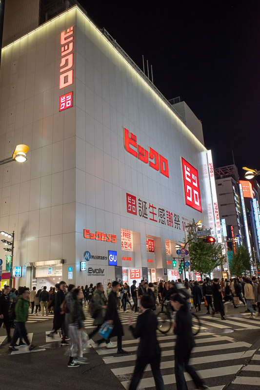
Another road crossing on my way back to the hotel. I still have 3 more nights to take Shinjuku neon shots. Need to space it out!
There are currently 5 comments - click to add
mother on 2019-11-17 said:
yes I understand perspective distortion, But you are still tilting your camera slightly in some of the shots.
adriana on 2019-11-17 said:
your comments are becoming a bit obtuse.
mother on 2019-11-17 said:
yeah and?
David on 2019-11-17 said:
The only way to cut out the daggy grass as you call it, would be to no longer have a 3:2 aspect ratio.
Also, you complain about things not being straight a lot. This is perspective distortion. You can google lightroom fix perspective distortion. I do not do this, its time consuming. If you look at the second to last photo from today, of the train track, the docomo building leans right, the buildings on the right of the tracks lean left. If they were high enough they would appear to almost touch.
mother on 2019-11-17 said:
Docomo tower tends to be leaning to the right in some of your photos. Also, you could cut out a bit of daggy grass foreground in some of them. Very nice otherwise.
Hiking Mount Takigoyama from Sasago station
Today I took a 2 hour train ride to Sasago station on the Chuo line, and once again, hiked the wrong way up a mountain.
I did not see a single other person all day! Today was a day when I might have liked to see a few other people to give me confidence I was actually on a trail.
I have done a hike from Sasago before on the southern side of the line, today I did one on the northern side.
It was a looping course, if you want to start and finish from Sasago, make sure you have a map, and go up the right side and come down the left. Do not go up the left side and come down the right. Better still go up and down the left, or go up the left and come down at a point further along the ridge closer to Hatsukari station back in the Tokyo direction. Confusing I know.
This trail was not long in distance or steps, but it was badly eroded, and took me a very long time to do, 6.5 hours all up. I got lost a few times and ended up bushwhacking. This involved laying on my front on the slope and side stepping along as I slid down sandy bits that had eroded away. Sometimes I would slide down for a while until I could grab something or get a foot hold. It was kind of fun but my trusty Chinese army pants are now destroyed. The crotch and one knee are worn through.
After reaching the summit, the path down was very tricky. I took a wrong turn, and added about 45 minutes onto my journey as I decided to double back when I realised my gps postion had left the marked trail on the map.
In hindsight, continuing on the 'wrong' path would have been better than doubling back to the right path.
The right path was very steep and rocky, and there really was no path! I had to keep checking the map to make sure I was on what someone had decided was the trail. I suspect if you were climbing up the rocks, then the front of some rocks would have been painted, but it was so steep on the way down, I could not see any of the painted markers. It really took me about 2 hours to go a kilometre.
Finally I made it back to an area where I could stand up without holding onto a tree, and progress was swifter. I was actually starting to consider if I would run out of light! That would have been an interesting situation on the side of a cliff that was rapidly eroding off a mountain.
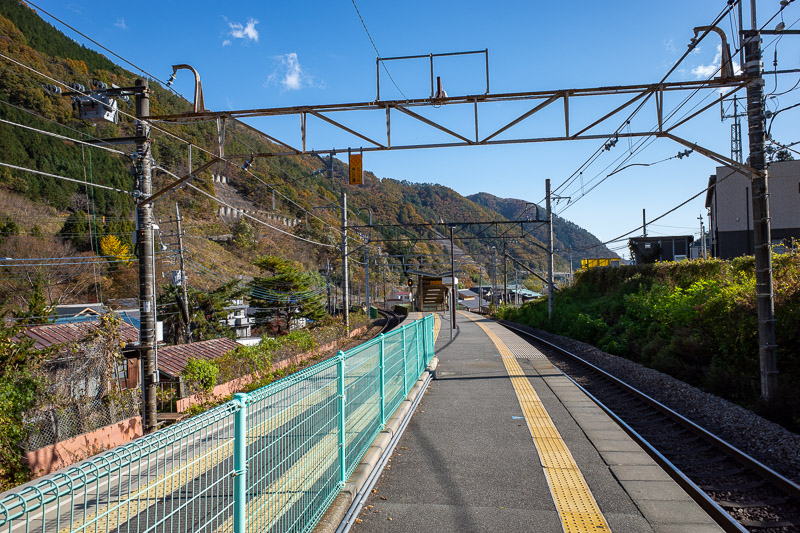
The view from Sasago station. I knew from my previous trip here that there is no convenience store and no vending machine! I bought my supplies the night before.
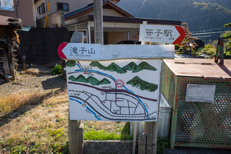
The local government in this area loves signs for mountain climbers. I remembered that from last time also.
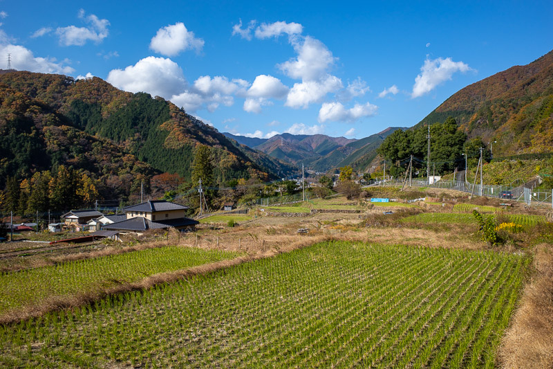
The view up the valley. My train out to here traveled through rain, the forecast said rain would stop in Tokyo by around 10AM, and I assumed it had come from where I was heading. There was actually no sign it had rained in this area at all, just blue sky!
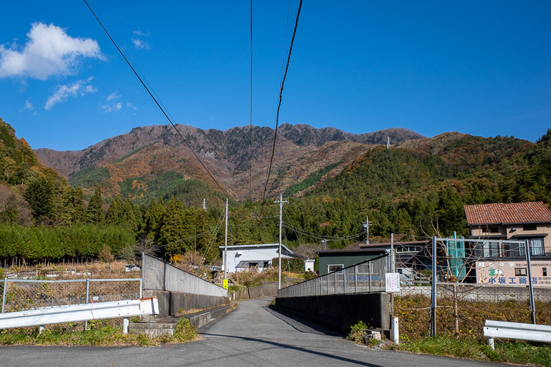
I had to cross the highway over a little bridge. Those peaks are the ones I would be climbing today. I was excited, started running.
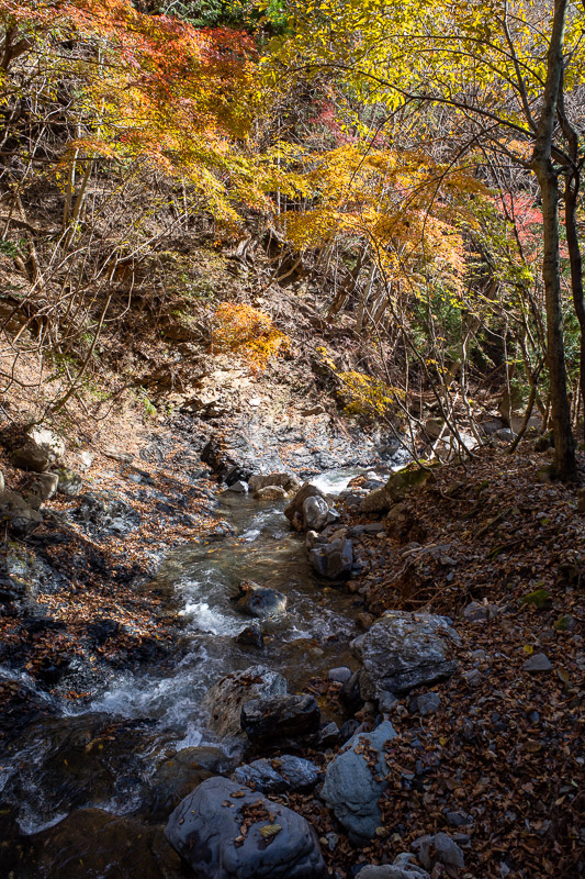
The first part of the hike that I was going up the wrong way, followed a logging trail alongside a waterfall. Actually the first couple of hours follow waterfalls as you shall see.
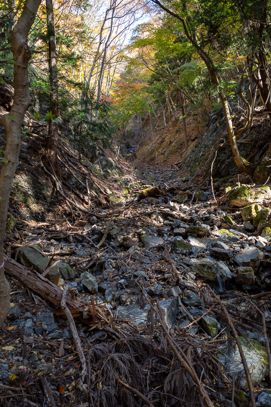
Eventually I left the logging track and started heading up, but would soon be rejoining another waterfall.
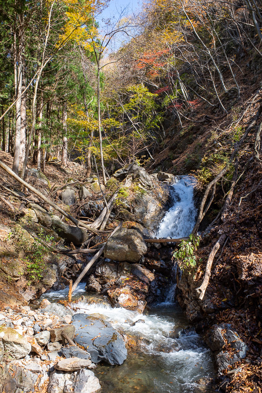
The waterfalls were a great companion. It was also very windy at times, and I got showered in leaves.
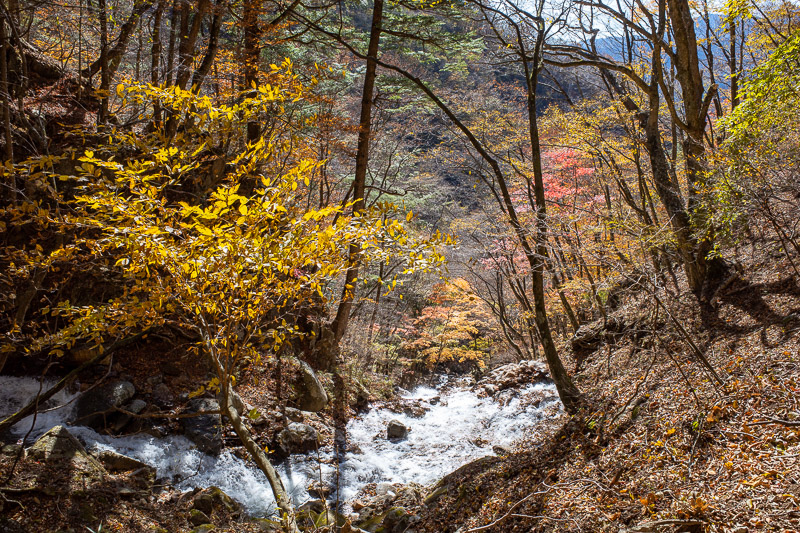
And heres a bit more waterfall. It was just after here that the trail vanished. It had slid away into the waterfalls. I had to hike up and over very sandy landslidey parts of the mountain. I created a few mini landslides myself.
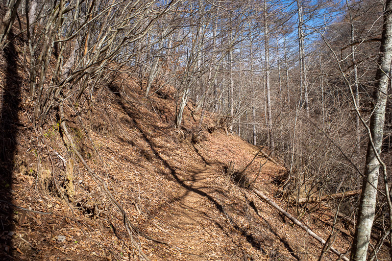
Eventually I got around the landslides and entered the dead zone, where all the trees look dead. I could not really photograph the sandy bits that had slid away as I had put my camera away and was using my hands to hold onto sand. Holding onto sand is not very effective.
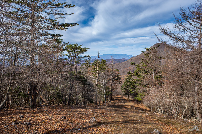
Around the back of the peak quite near the summit was the easiest part of the trail. Loggers had basically created a highway up to the top.
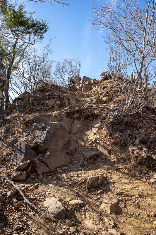
Only the last bit was rocky, but it was a taste of what was to come. Here I am just metres from the summit.
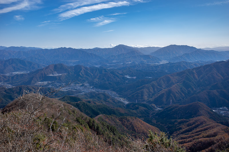
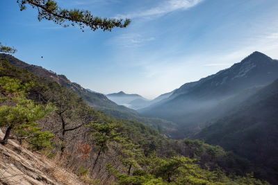
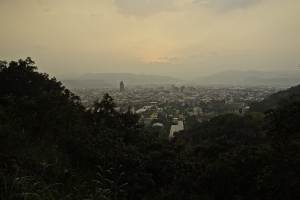
View back towards Tokyo up the Chuo valley. Smoke haze makes it hard to see, but the low bits of the terrain are all small cities.
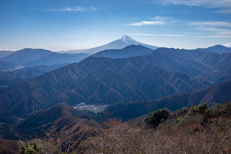
Another of Fujisan, more to come! You dont just climb up a mountain to get Fuji views and not go overboard.
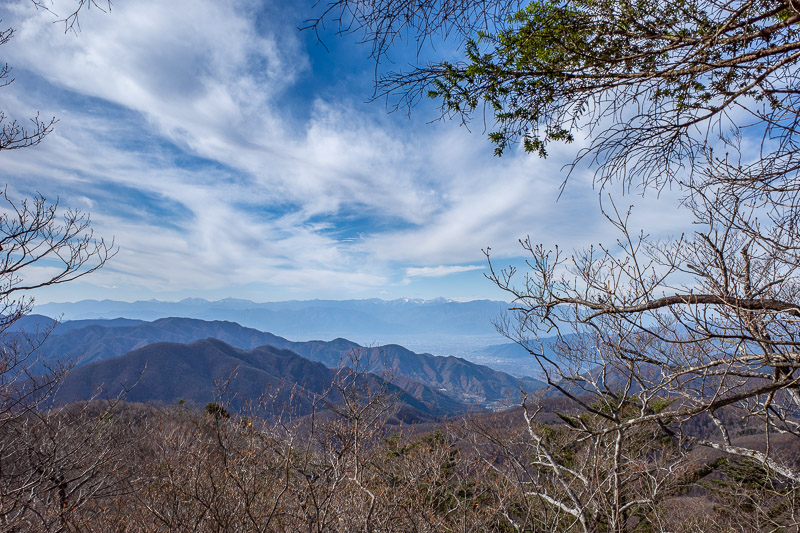
I think I had hiked down a bit by now. Those are some other mountains with snow capped peaks. Not sure which ones but they are on the other side of the sizeable city of Kofu, which I still have never been to. I might stay there on my next trip to Japan.
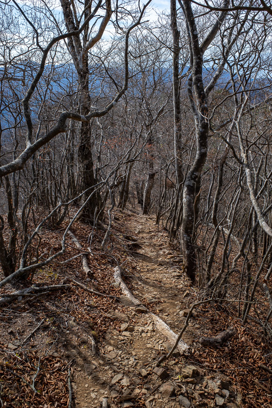
The way down was confusing. This looks like the trail, but its not. This added about 45 minutes onto my hike, as it was not the trail down, it goes back to join the trail I used to come up. And as I mentioned earlier, a better plan would have been to do that!
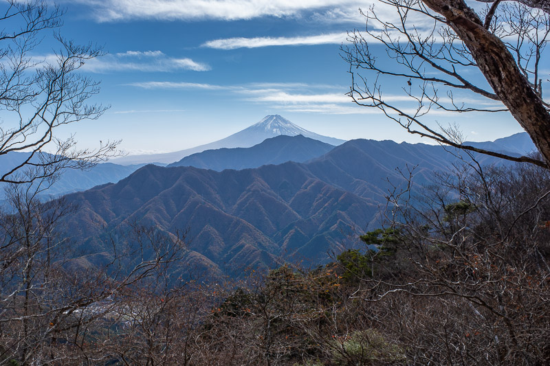
Along the mystery trail, there was another Fuji view. I would have liked one later in the day as the snow was blowing off the summit, but I could not get a clear shot through the trees.
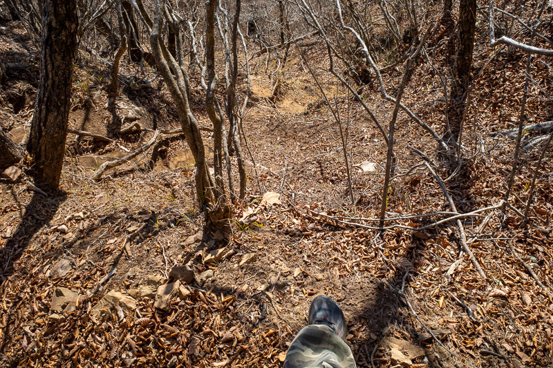
I had found the right trail. It was sandy, slidey, very steep. Thats my foot. It still doesnt look steep, but the only way down was to hang onto trees and slide between trees on your bum.
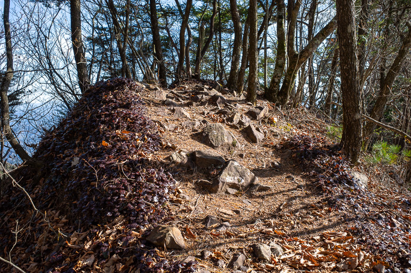
Sometimes the slide down was interrupted by a jagged peak. Theres a strange brown/blue/grey little leafy thing growing on the edges of the cliff here. A bit hard to see unless you open the bigger photo.
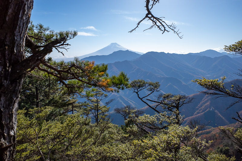
Here is the last one of Fuji. It seems to have got a lot of snow on it in the last couple of days. I read reports it was snow free 3 days ago.
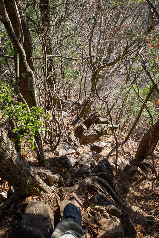
Another view of my foot looking down a rocky cliff this time. It never looks steep. I descended down terrain just like this for well over an hour.
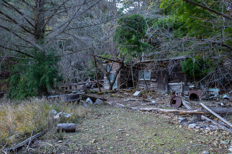
First sign of civilization, a cabin in the woods. I called in for a cup of tea, but there was no one home.
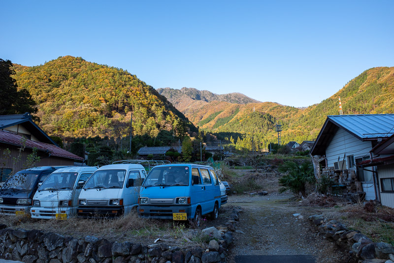
Back at the road! These minivans sit in front of the mountains I had just descended from in the late afternoon sun.
Eating tomato Ramen in Shinjuku
Tonight I had my favourite thing that you can only get in Japan for the third time. Tomato Ramen. Its ramen cooked in a thick tomato soup, with gorgonzola, garlic bread and chorizo. I think its very very bad for you.
I have no scientific backing for this claim, but I think tomato soup boils at about 200 degrees. Each time I have been to this place it has been ridiculously hot.
I was starving, and quite tired, so all you get for the second update is tomato soup.
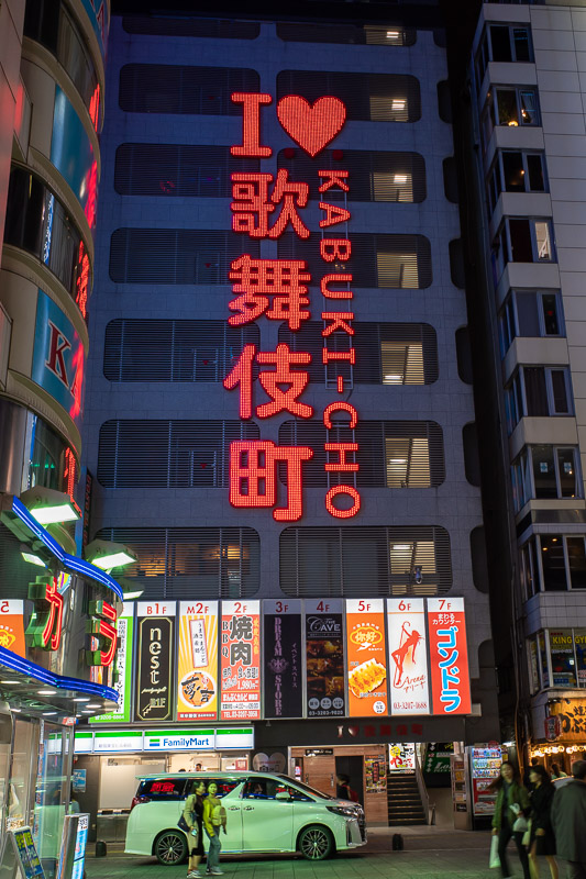
I have taken this photo on previous trips, but because I was just heading to the soup shop and back, thats what you get.
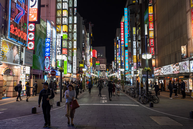
Last year I took a cool shot from this spot at the end of Godzilla street. It was better than this one. There was a guy in a pink jumper sitting in front of me reading his phone. I would link to it but I dont think links in picture links link correctly as it breaks the link.
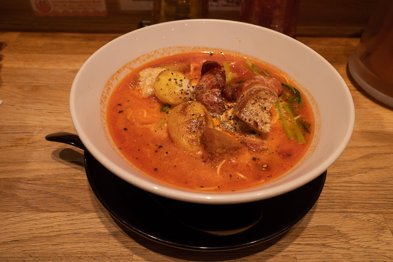
Here it is, gorgon-rizo-ramen-tomaten-san. Highly recommended. You can find it in the bottom of the cinema complex at the end of Godzilla street.
There are currently 3 comments - click to add
Brian on 2019-11-18 said:
You have done some very interesting hikes David
Melskius on 2019-11-18 said:
We are planning to visit Kofu in Feb/March.
adriana on 2019-11-18 said:
best Fuji shots! Like all the shots overlooking valleys today.


There are currently 3 comments - click to add
adriana on 2019-11-16 said:
Must put Korea town on my list - haven't been there yet.
David on 2019-11-16 said:
I think I did last time because I went all the way around.
jenny on 2019-11-16 said:
Pity your couldn't go and visit the little peninsula sticking into the lake.