
Kasama Wakaguni-Atago Hiking Trail
Due to the long name of the trail I could not fit in the name of the start and end stations, I started at Iwama and ended at Fukuhara station.
To get to Iwama station, I took a limited express Hitachi / Tokiwa (either will do) and changed to the local train at Ishioka.
To get back from Fukuhara I took the local to Oyama where I changed to the Tohoku Shinkansen.
This was all possible due to the Tokyo wide 3 day pass, if you paid for these tickets individually it would be about $80 Australian. Both trips in total took about 90 minutes, including transfers.
Because of the cost and distance and low mountains, this hike is best suited to someone who as already completed 100 or so hikes closer to Tokyo, which I have.
Now for the stats -
34,200 steps
19.67km - I probably should have run around in circles to hit 20km
5 hours 51 minutes
1,067m vertical ascent
1,464 calories burned
One more thing, I ran the last 3km to get to the station at Fukuhara so I would not miss the train and have to wait 45 minutes for the next one.
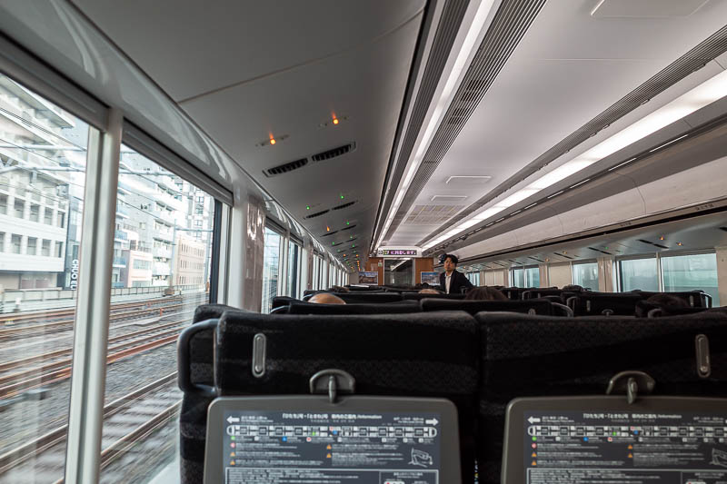
On the Hitachi / Tokiwa limited express trains, the light system seen here tells you if the seat is reserved. Green means its reserved and someone should be in it. Amber means it is reserved but from an upcoming stop. Red (not shown) means it is not reserved at all. I had no reservation so sat in a couple of amber seats and checked if the light went green, it did twice so I moved.
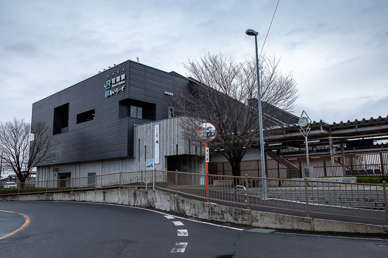
Iwama station. There is no convenience store nearby, even though it is quite a sizeable town. I ran about 1km along the road to go to the 7-eleven on the highway.
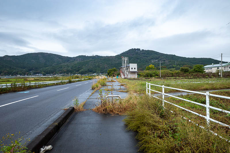
Here is an example of the road I ran up. The mountains look very small from here. They were indeed quite small, but probably bigger than that over the back of the ones in the foreground if you catch my drift.
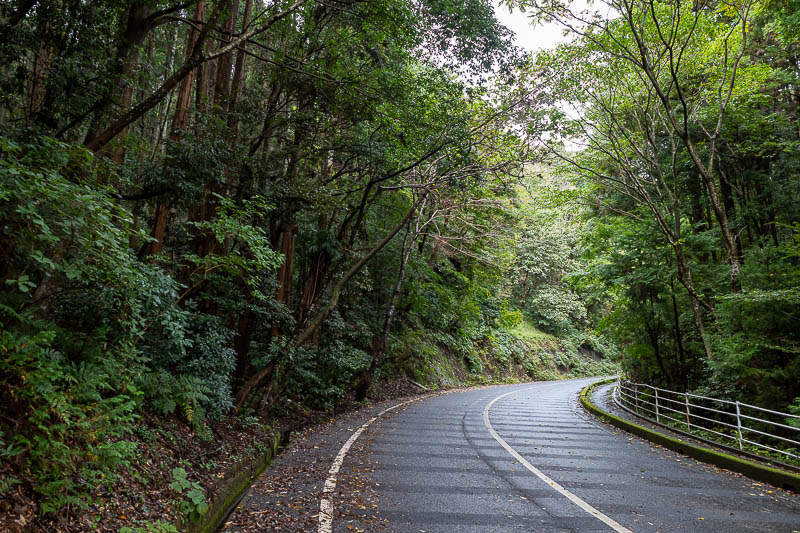
The road to get to the trail start is a famous cycling road. Many signs discussing the gradient and past winners. This is actually steep uphill despite looking downhill in the photo.
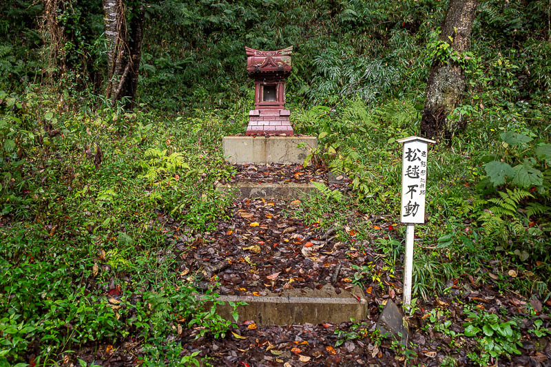
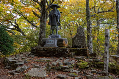
I thought this would be the only shrine, that was wrong.
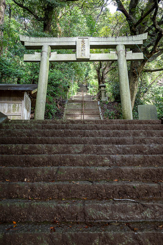
My map told me to up this staircase, ok.
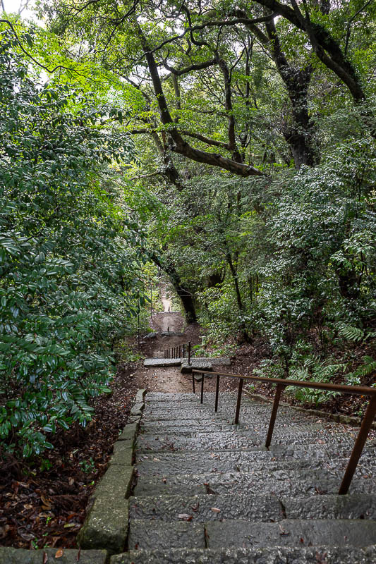
This was one of the steepest staircases ever, with the stairs in poor condition, many sloping downwards and mossy.
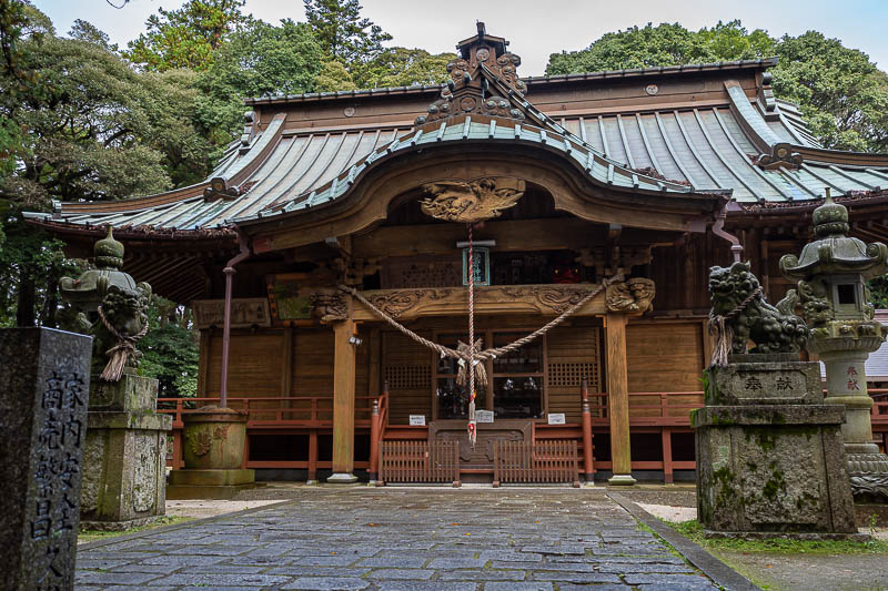
Behold the upper shrine.
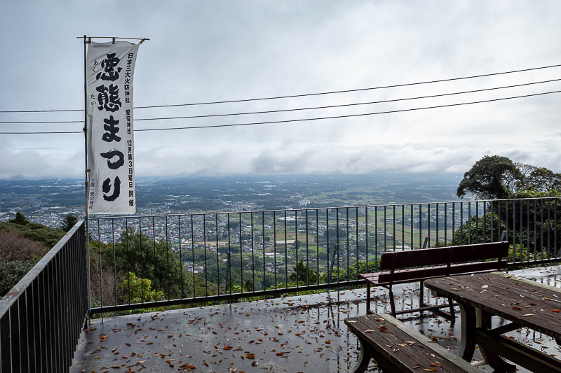
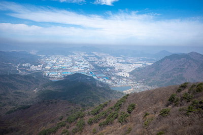
The view from the shrine was good. There were not too many views today, although the fog you shall see may have obscured some.
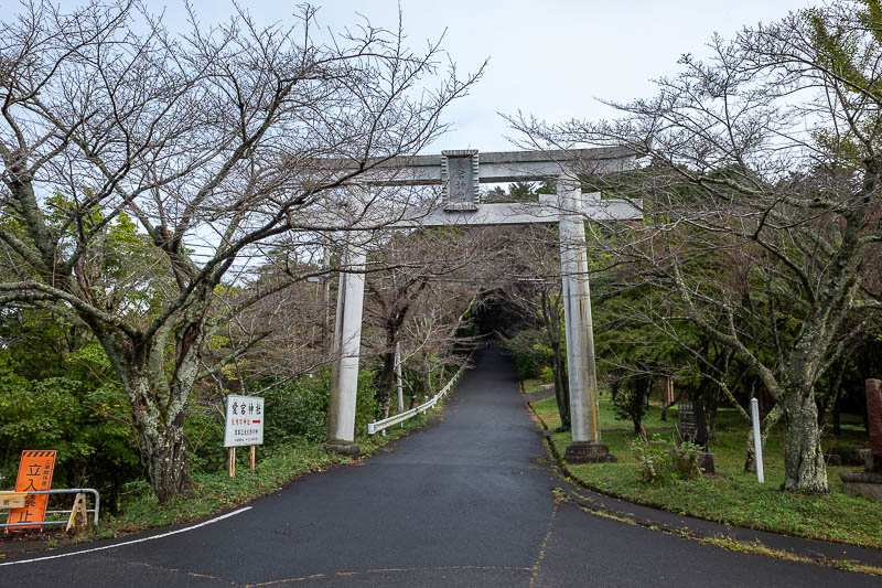
This is where the cycling climb ends, and is also another entry to the shrine.
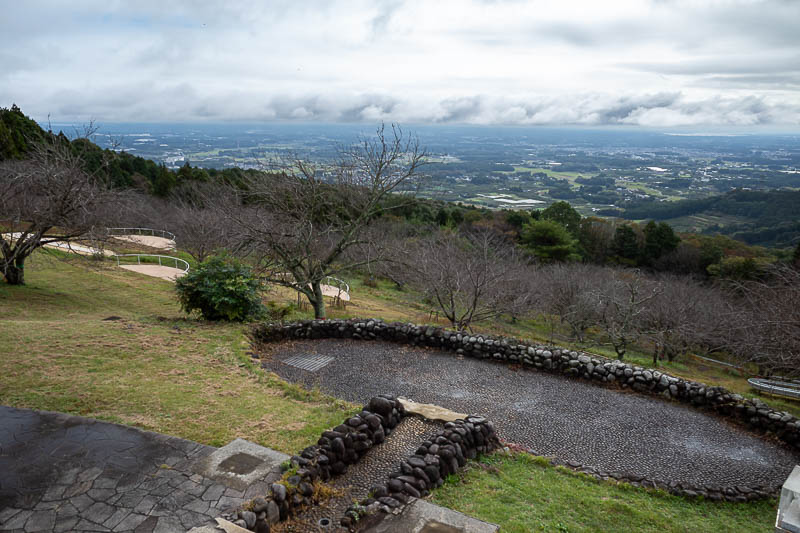
Lots of picnic areas. There was even a cafe although it was not open. I bought a bonus bottle of pocari sweat from the vending machine. It was only 20c today but very humid.
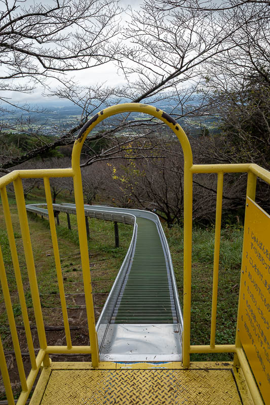
I think this is for sending supplies up and down, not people, but nothing is to stop kids from getting on it. It is thousands of rollers.
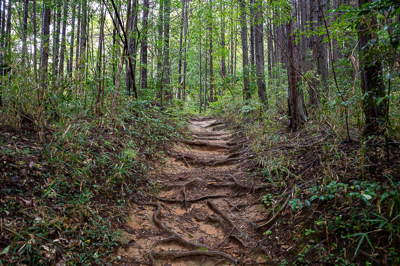
From this point on the trail got real.
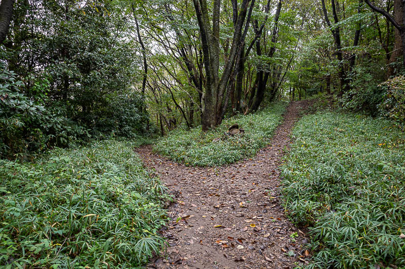
I am glad I had downloaded the map from yamap, no signs, and a fork! A bit strange as there was lots of signage generally.
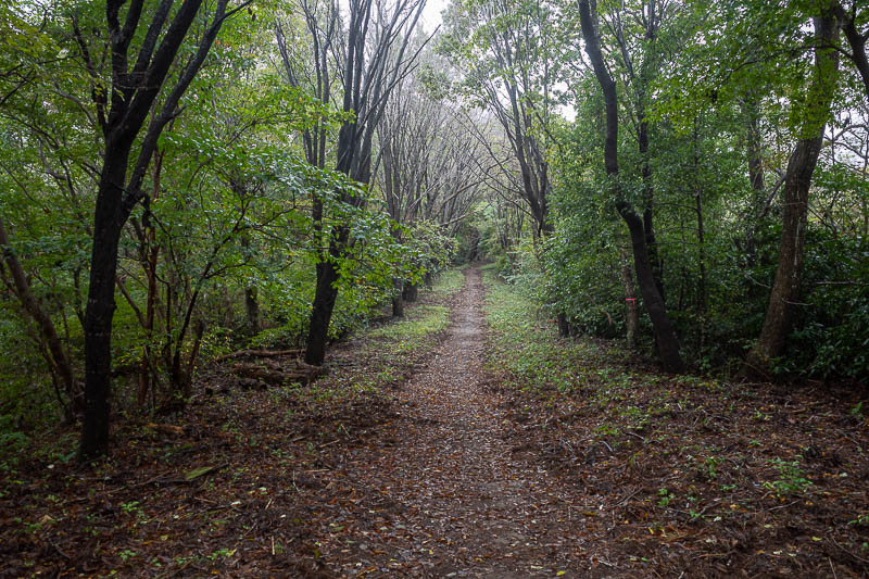
Fog starting. The path was very well maintained for about 90% of the trail.
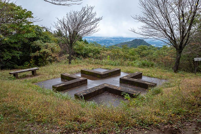
I think this is the main peak of the day, I am not even sure what it was called.
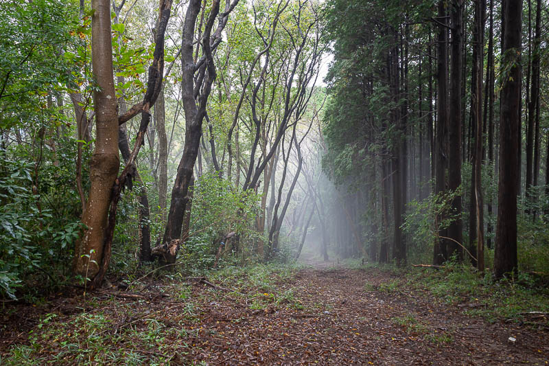
Now we get into some great fog. Photos seem to make it seem less foggy.
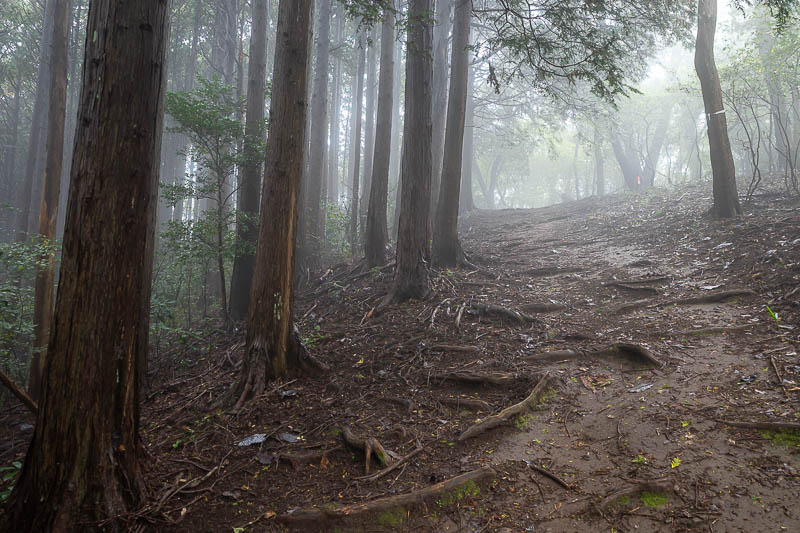
Although still quite foggy.
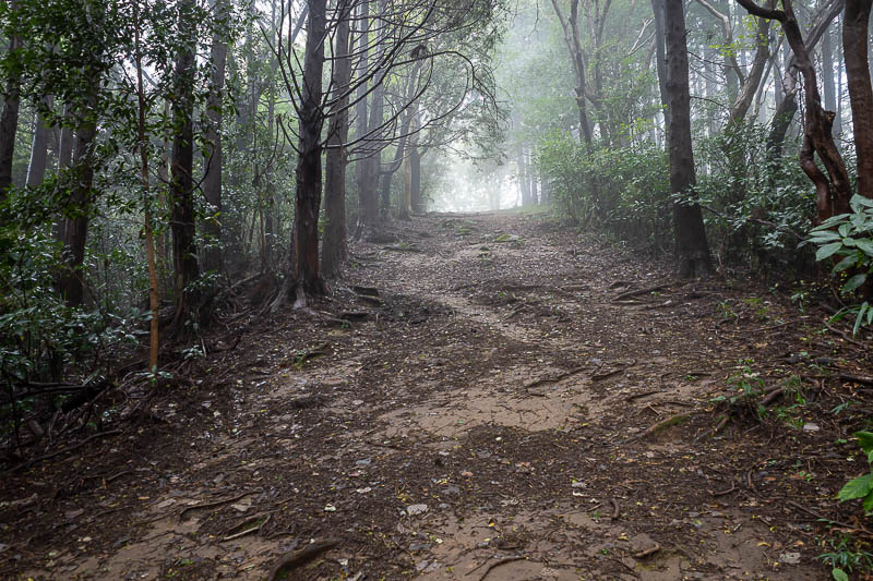
Very wide trail, reducing the chance of bear attack.
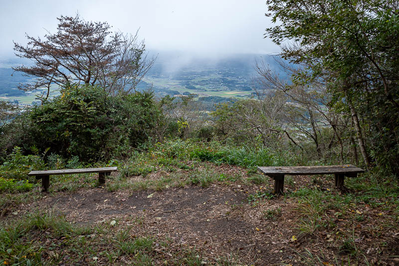
Another summit of sorts.
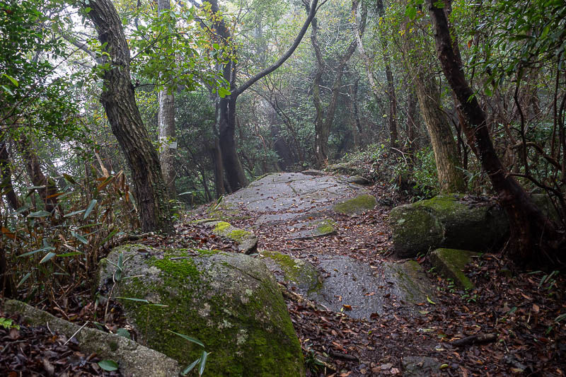
An example of a mossy rocky section, quite slippery.
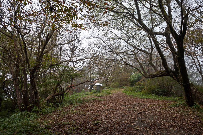
Next summit. Strange silver marker.
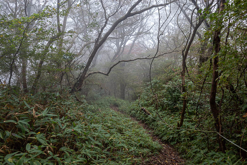
Now the trail got ferny, and it started to rain a bit.
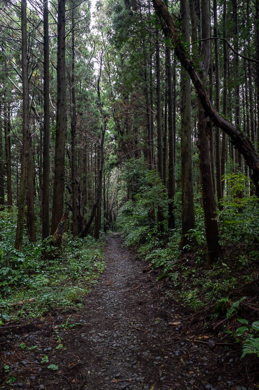
It also got very dark, I guess I was in cloud.
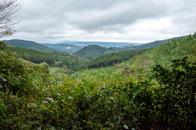
Brief respite.
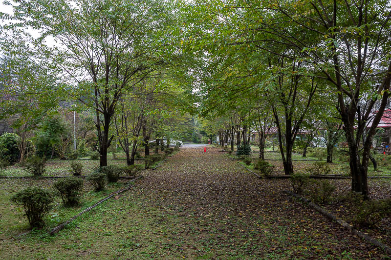
Strangely, another road to cross, with another camp / hotel / wedding / function centre. It was raining now, and I was wet.
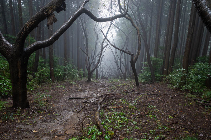
More great fog.
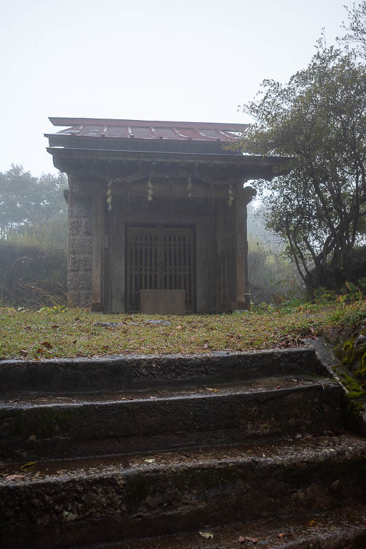
Another mini summit, another mini shrine. There may have been a view but there was a lot of fog so I will never know.
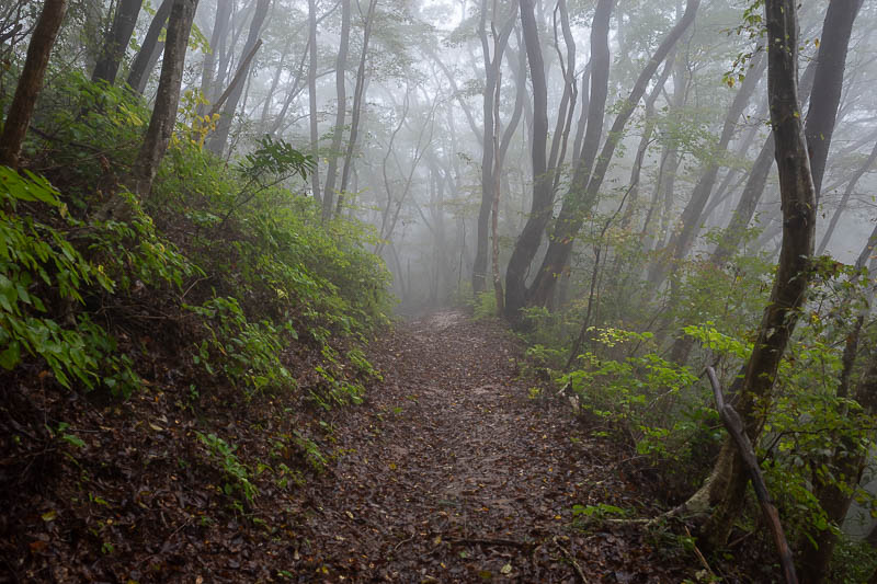
Time to descend, but still more fog.
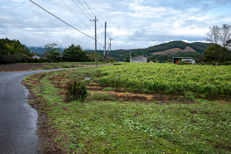
Finally I came out into farms, the type bears might raid.
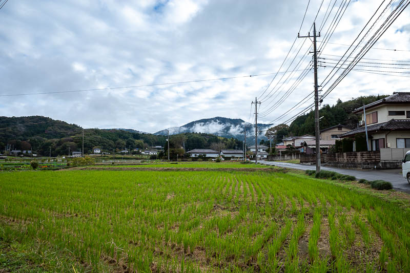
I forgot to take a photo of the small mountain from the base, there it is with fog on it still.
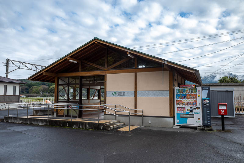
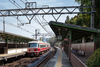
As mentioned above, I ran to the station to meet the train, but still had time to take a photo. Here it is Fukuhara station.
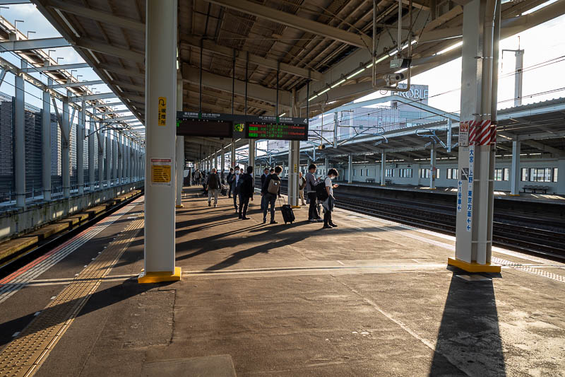
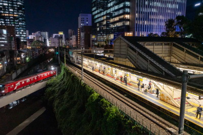
The sun came out as soon as I got back on the trains. Here is proof as I change to the bullet train at Oyama station.
A foggy wet day completed.
The end for now
There are currently 0 comments - click to add